Chandler is a town straddling Ohio and Boon Township in Warrick County, Indiana, United States, located just east of Evansville, Indiana along the Ohio River. The population was 3,693 at the 2020 census, making it Warrick County’s second-most populous municipality after Boonville. The town is part of the Evansville metropolitan area with a population of 342,815.
| Name: | Chandler town |
|---|---|
| LSAD Code: | 43 |
| LSAD Description: | town (suffix) |
| State: | Indiana |
| County: | Warrick County |
| Elevation: | 387 ft (118 m) |
| Total Area: | 2.91 sq mi (7.55 km²) |
| Land Area: | 2.91 sq mi (7.55 km²) |
| Water Area: | 0.00 sq mi (0.00 km²) |
| Total Population: | 3,693 |
| Population Density: | 1,267.33/sq mi (489.29/km²) |
| ZIP code: | 47610 |
| Area code: | 812 |
| FIPS code: | 1812034 |
| GNISfeature ID: | 2396639 |
| Website: | http://www.townofchandler.org/ |
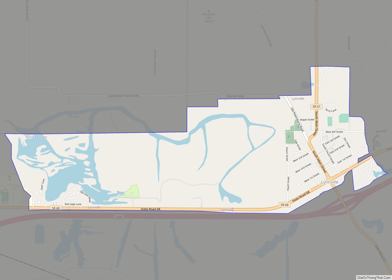
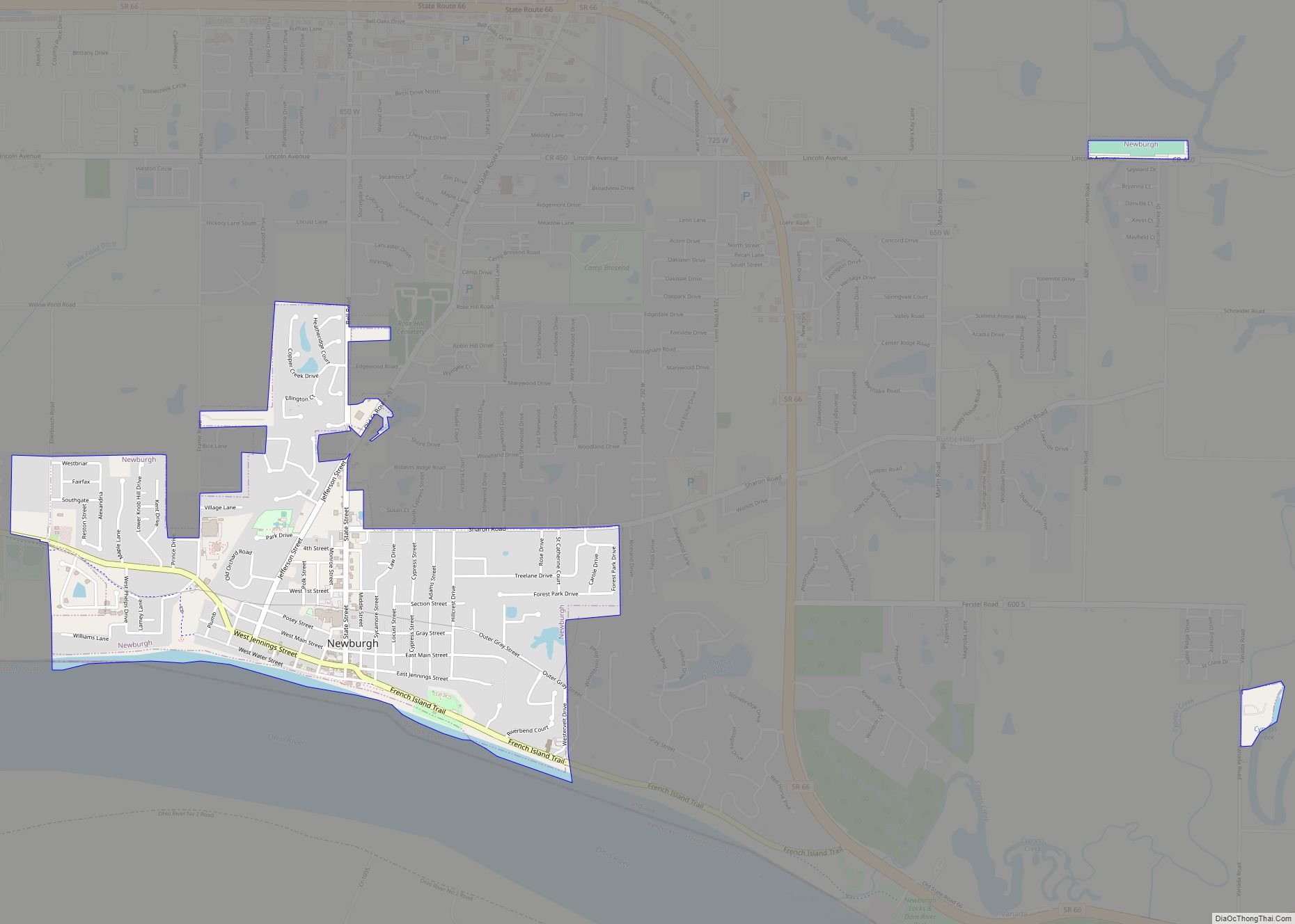
Online Interactive Map
Click on ![]() to view map in "full screen" mode.
to view map in "full screen" mode.
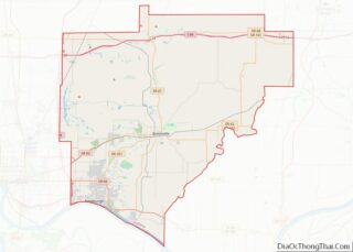
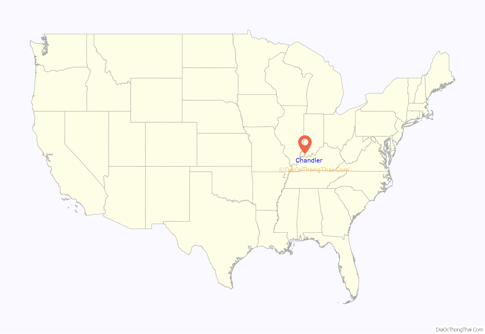
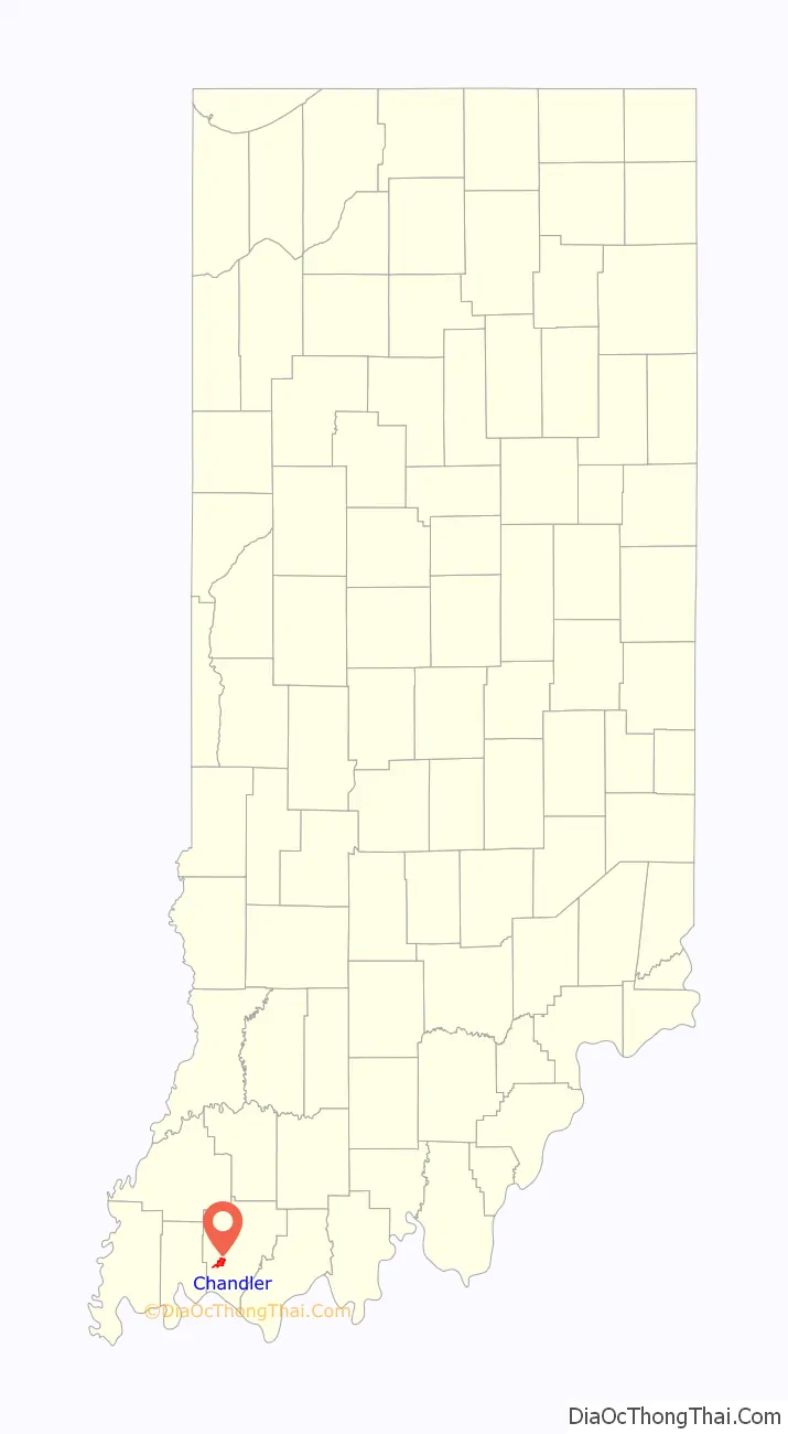
Chandler location map. Where is Chandler town?
History
In 1847, the area which is now Chandler opened a post office named Lee to serve its residents. By that time, a portion of the Central Canal (a piece of the Wabash and Erie Canal) was completed just outside of town that connected nearby Evansville with present-day Worthington. The canal system was never fully completed, having met its doom with financial problems and competition from the railroad boom, but part of the canal remains today along with the old tow path, aptly named Tow Path Road.
In 1874, Lee officially became Chandler. The town got its new moniker from O.E. Chandler, the foreman of the Lake Erie, Evansville & South Western Railroad, which had completed construction on a new railway through town the year before. Using the creek bed from the failed Wabash and Erie Canal, L E E & S W RR created a rail line from Evansville through Chandler and on to Gentryville. Although the line is no longer used for passenger travel, Norfolk Southern still operates cargo trains on a portion of the railway that follows the Central Canal. The former Chandler Depot also remains, although it now serves as a private residence.
In 1875, the first underground coal mine in town opened, Chandler Mine. Warrick County lies on the eastern edge of the Illinois Basin, making it a vast coal resource; once the use of coal became mainstreamed for locomotives (and later, for generating electricity), companies flocked to the area to begin mining operations. Chandler was no different, with six different underground mines having operated here at various times over nearly a century. No more than three underground mines operated at any one time in Chandler; the Erie Canal/Air Line Mine had the longest history, having operated for 40 years before shutting down in 1937.
By the mid-1940s, all but one mine had shut down. This allowed for above-ground development, and the construction business boomed. Within a five-year period, houses sprung up like mushrooms and the population more than doubled.
In 1953, the town became incorporated, and three trustees and a clerk-treasurer were elected to lead the citizens of Chandler. For the next two decades, town officials and residents worked to organize and equip a volunteer fire department, improve streets and install street lights, construct water wells and a water treatment plant, complete a sewer treatment plant and system, and purchase a building to house town offices. More recently, residential, commercial, and industrial development has remained slow and steady.
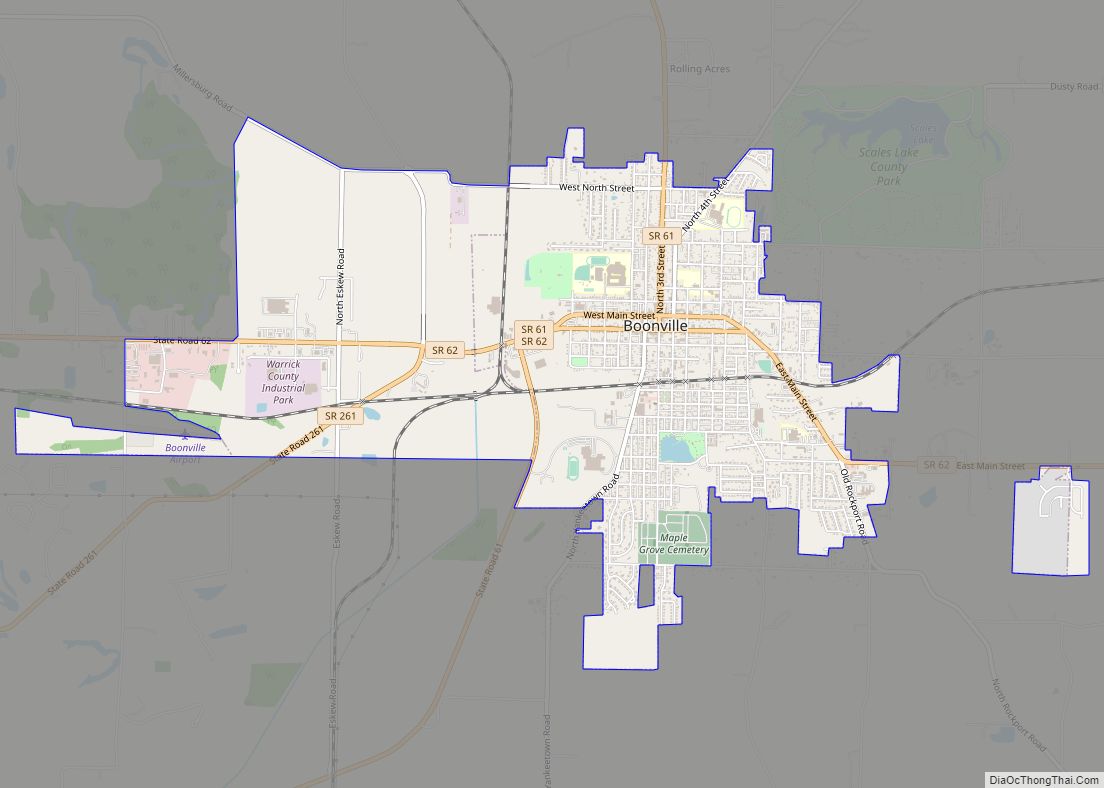
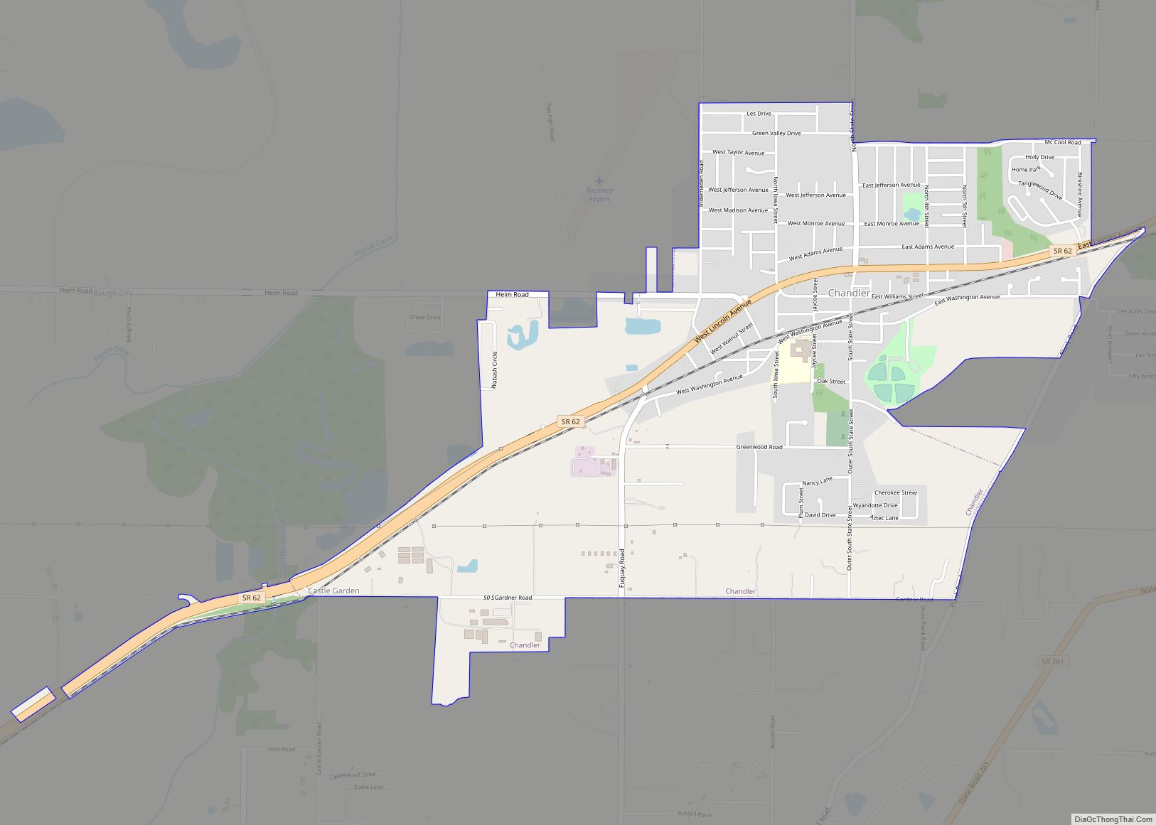
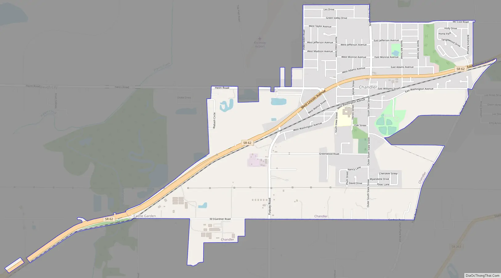
Chandler Road Map
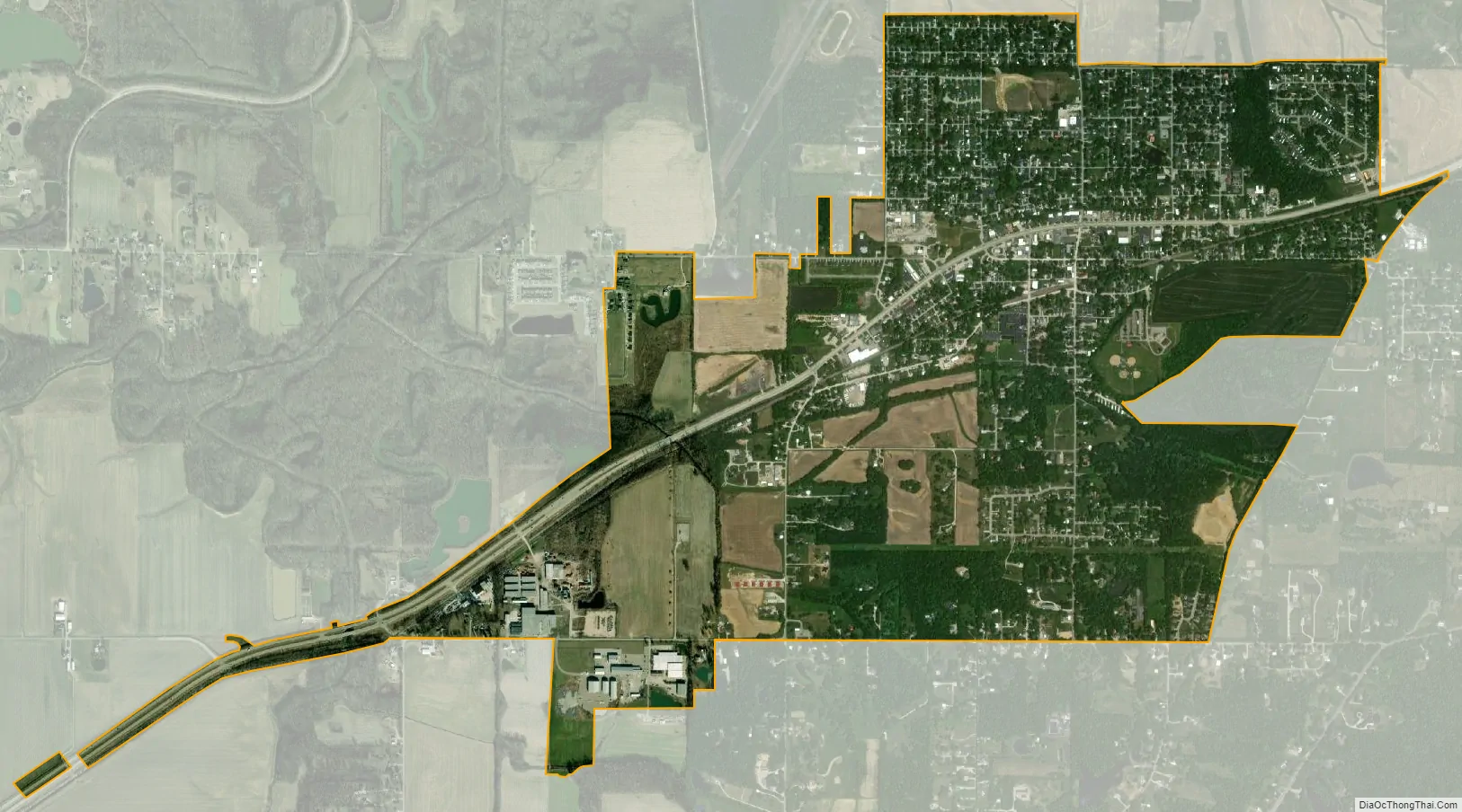
Chandler city Satellite Map
Geography
According to the 2010 census, Chandler has a total area of 2.03 square miles (5.26 km), all land.
Climate
The climate in this area is characterized by hot, humid summers and generally cool to cold winters. According to the Köppen Climate Classification system, Chandler has a humid subtropical climate, abbreviated “Cfa” on climate maps.
See also
Map of Indiana State and its subdivision:- Adams
- Allen
- Bartholomew
- Benton
- Blackford
- Boone
- Brown
- Carroll
- Cass
- Clark
- Clay
- Clinton
- Crawford
- Daviess
- De Kalb
- Dearborn
- Decatur
- Delaware
- Dubois
- Elkhart
- Fayette
- Floyd
- Fountain
- Franklin
- Fulton
- Gibson
- Grant
- Greene
- Hamilton
- Hancock
- Harrison
- Hendricks
- Henry
- Howard
- Huntington
- Jackson
- Jasper
- Jay
- Jefferson
- Jennings
- Johnson
- Knox
- Kosciusko
- LaGrange
- Lake
- Lake Michigan
- LaPorte
- Lawrence
- Madison
- Marion
- Marshall
- Martin
- Miami
- Monroe
- Montgomery
- Morgan
- Newton
- Noble
- Ohio
- Orange
- Owen
- Parke
- Perry
- Pike
- Porter
- Posey
- Pulaski
- Putnam
- Randolph
- Ripley
- Rush
- Saint Joseph
- Scott
- Shelby
- Spencer
- Starke
- Steuben
- Sullivan
- Switzerland
- Tippecanoe
- Tipton
- Union
- Vanderburgh
- Vermillion
- Vigo
- Wabash
- Warren
- Warrick
- Washington
- Wayne
- Wells
- White
- Whitley
- Alabama
- Alaska
- Arizona
- Arkansas
- California
- Colorado
- Connecticut
- Delaware
- District of Columbia
- Florida
- Georgia
- Hawaii
- Idaho
- Illinois
- Indiana
- Iowa
- Kansas
- Kentucky
- Louisiana
- Maine
- Maryland
- Massachusetts
- Michigan
- Minnesota
- Mississippi
- Missouri
- Montana
- Nebraska
- Nevada
- New Hampshire
- New Jersey
- New Mexico
- New York
- North Carolina
- North Dakota
- Ohio
- Oklahoma
- Oregon
- Pennsylvania
- Rhode Island
- South Carolina
- South Dakota
- Tennessee
- Texas
- Utah
- Vermont
- Virginia
- Washington
- West Virginia
- Wisconsin
- Wyoming