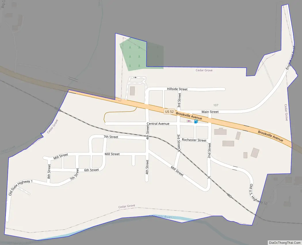
Cedar Grove is a town in Highland Township, Franklin County, Indiana, United States. The population was 156 at the 2010 census.
| Name: | Cedar Grove town |
|---|---|
| LSAD Code: | 43 |
| LSAD Description: | town (suffix) |
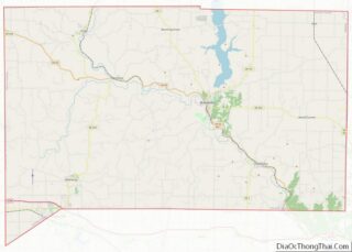
| State: | Indiana |
| County: | Franklin County |
| Elevation: | 600 ft (183 m) |
| Total Area: | 0.16 sq mi (0.41 km²) |
| Land Area: | 0.15 sq mi (0.39 km²) |
| Water Area: | 0.01 sq mi (0.02 km²) |
| Total Population: | 150 |
| Population Density: | 993.38/sq mi (383.83/km²) |
| ZIP code: | 47016 |
| Area code: | 765 |
| FIPS code: | 1811044 |
| GNISfeature ID: | 0449633 |
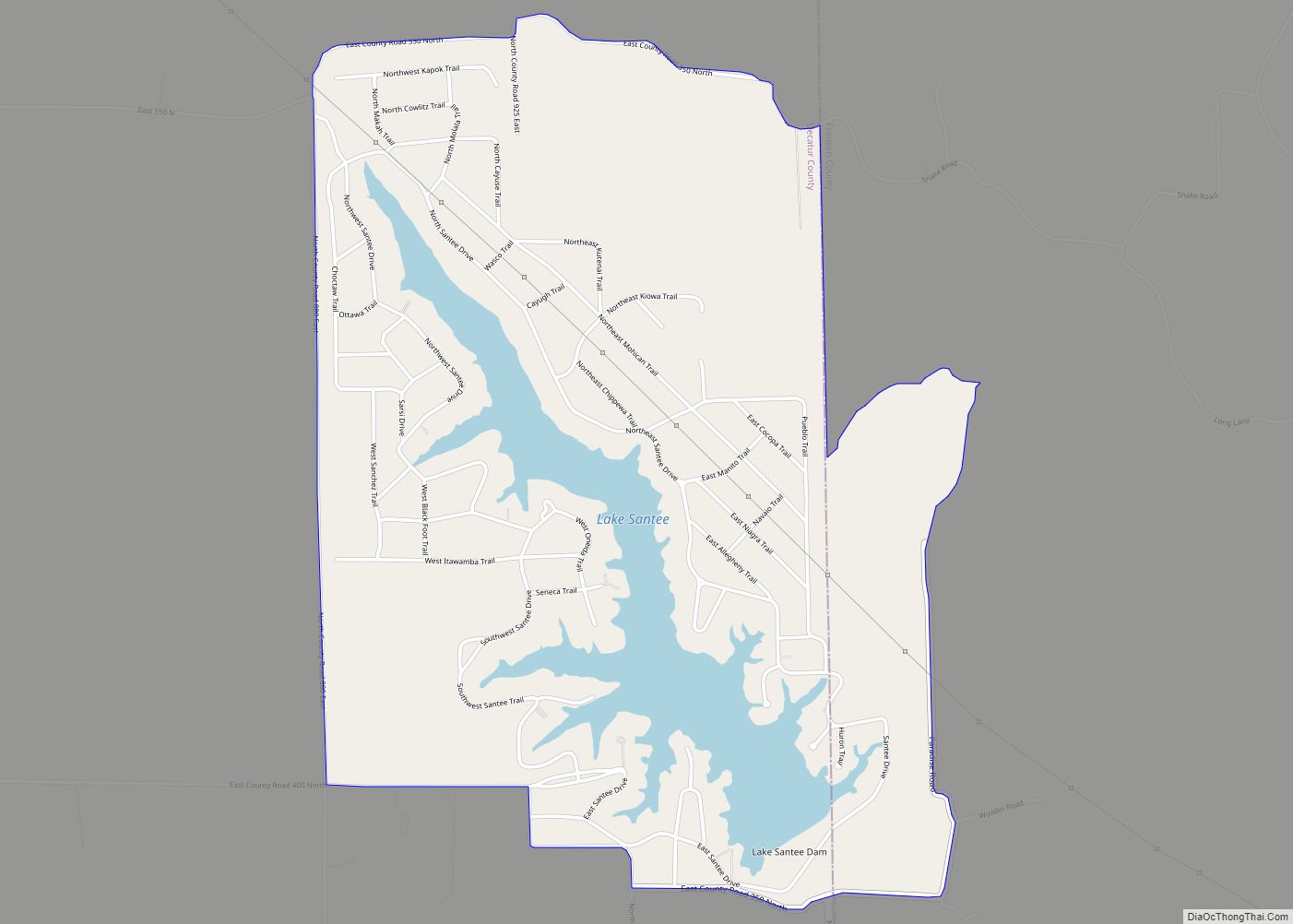
Online Interactive Map
Click on ![]() to view map in "full screen" mode.
to view map in "full screen" mode.
Cedar Grove location map. Where is Cedar Grove town?


History
Cedar Grove, originally known as Rochester, was platted in 1837 by John Ward. Ward built a large gristmill there. It was incorporated as a town in 1907.
The Cedar Grove Bridge was listed on the National Register of Historic Places in 2014.
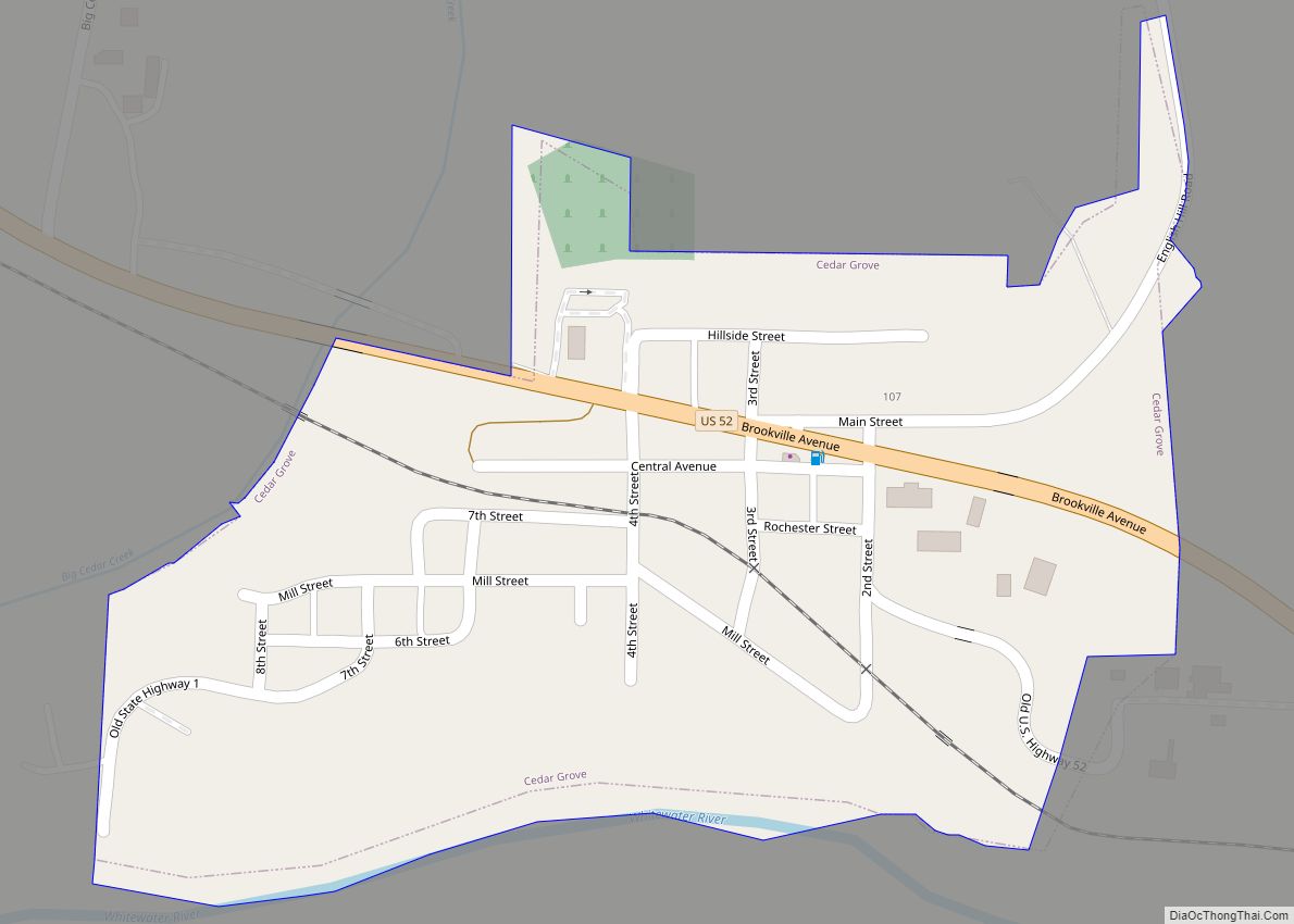
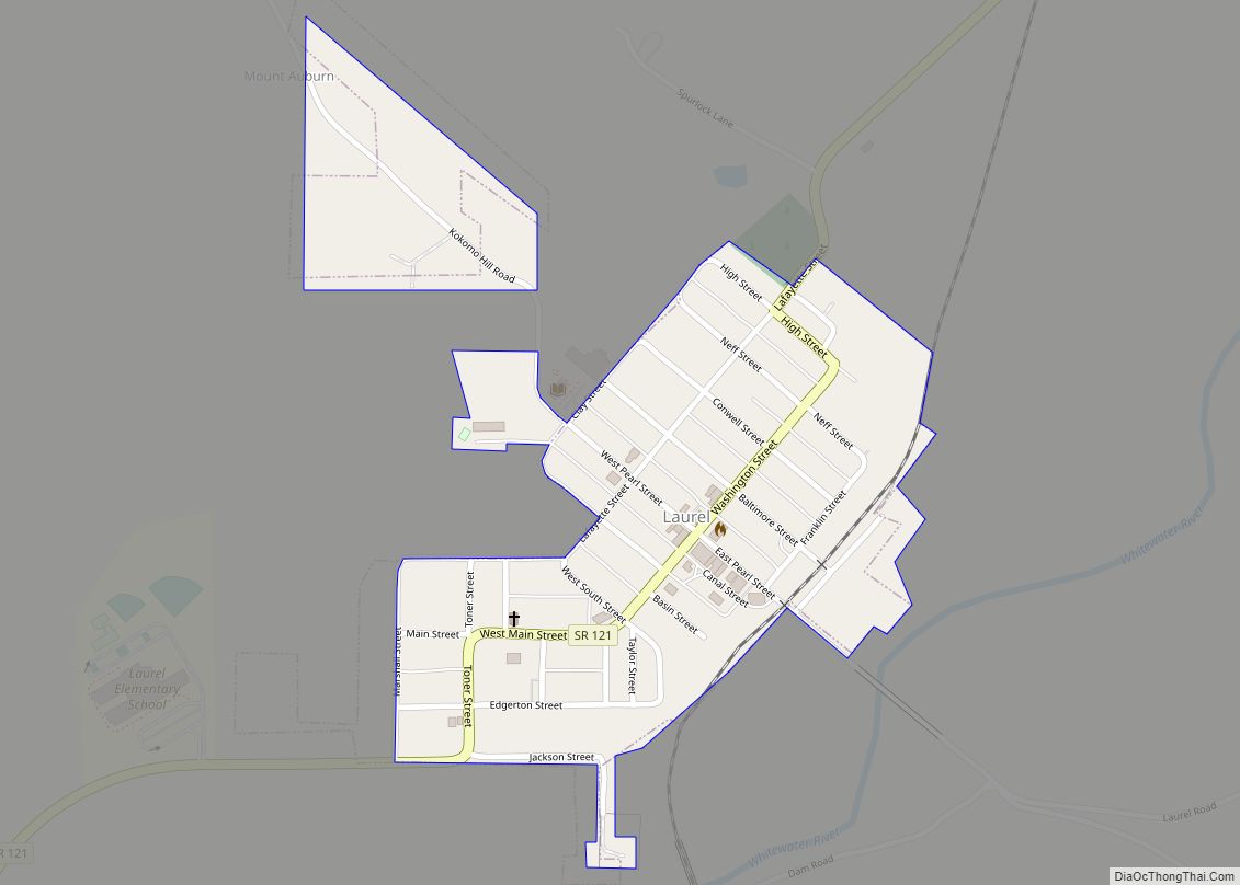
Cedar Grove Road Map
Cedar Grove city Satellite Map

Geography
Cedar Grove is located at 39°21′23″N 84°56′13″W / 39.35639°N 84.93694°W / 39.35639; -84.93694 (39.356407, -84.937034).
According to the 2010 census, Cedar Grove has a total area of 0.15 square miles (0.39 km), all land.
See also
Map of Indiana State and its subdivision:- Adams
- Allen
- Bartholomew
- Benton
- Blackford
- Boone
- Brown
- Carroll
- Cass
- Clark
- Clay
- Clinton
- Crawford
- Daviess
- De Kalb
- Dearborn
- Decatur
- Delaware
- Dubois
- Elkhart
- Fayette
- Floyd
- Fountain
- Franklin
- Fulton
- Gibson
- Grant
- Greene
- Hamilton
- Hancock
- Harrison
- Hendricks
- Henry
- Howard
- Huntington
- Jackson
- Jasper
- Jay
- Jefferson
- Jennings
- Johnson
- Knox
- Kosciusko
- LaGrange
- Lake
- Lake Michigan
- LaPorte
- Lawrence
- Madison
- Marion
- Marshall
- Martin
- Miami
- Monroe
- Montgomery
- Morgan
- Newton
- Noble
- Ohio
- Orange
- Owen
- Parke
- Perry
- Pike
- Porter
- Posey
- Pulaski
- Putnam
- Randolph
- Ripley
- Rush
- Saint Joseph
- Scott
- Shelby
- Spencer
- Starke
- Steuben
- Sullivan
- Switzerland
- Tippecanoe
- Tipton
- Union
- Vanderburgh
- Vermillion
- Vigo
- Wabash
- Warren
- Warrick
- Washington
- Wayne
- Wells
- White
- Whitley
- Alabama
- Alaska
- Arizona
- Arkansas
- California
- Colorado
- Connecticut
- Delaware
- District of Columbia
- Florida
- Georgia
- Hawaii
- Idaho
- Illinois
- Indiana
- Iowa
- Kansas
- Kentucky
- Louisiana
- Maine
- Maryland
- Massachusetts
- Michigan
- Minnesota
- Mississippi
- Missouri
- Montana
- Nebraska
- Nevada
- New Hampshire
- New Jersey
- New Mexico
- New York
- North Carolina
- North Dakota
- Ohio
- Oklahoma
- Oregon
- Pennsylvania
- Rhode Island
- South Carolina
- South Dakota
- Tennessee
- Texas
- Utah
- Vermont
- Virginia
- Washington
- West Virginia
- Wisconsin
- Wyoming