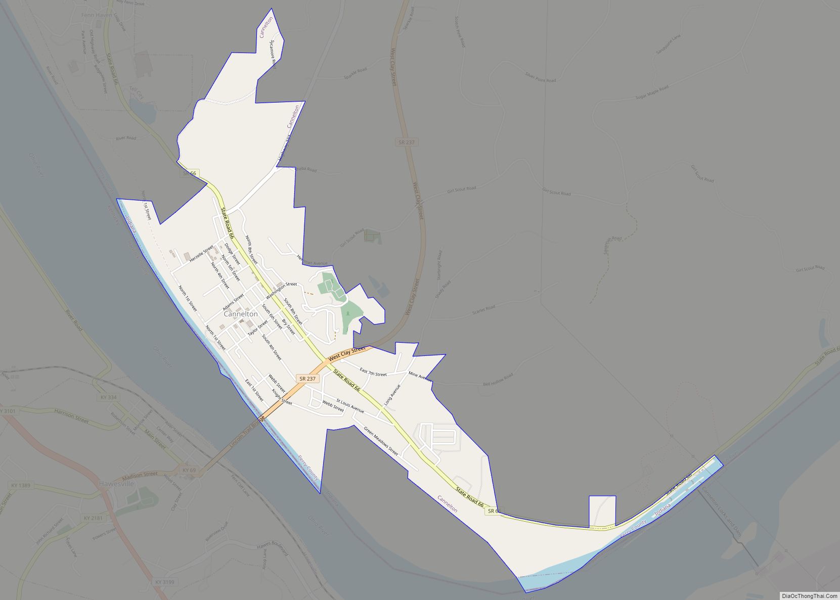
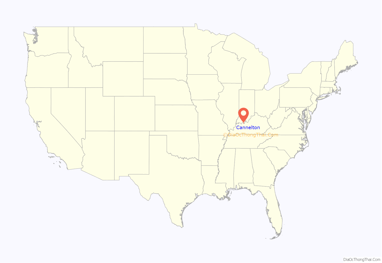
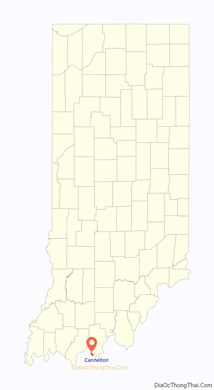
Cannelton is a city in Troy Township, Perry County, in the U.S. state of Indiana, along the Ohio River. The population was 1,563 at the 2010 census. Cannelton, which was the smallest incorporated city in the state until 2010, was formerly the county seat of Perry County until the seat was relocated to Tell City.
| Name: | Cannelton city |
|---|---|
| LSAD Code: | 25 |
| LSAD Description: | city (suffix) |
| State: | Indiana |
| County: | Perry County |
| Elevation: | 410 ft (125 m) |
| Total Area: | 1.57 sq mi (4.07 km²) |
| Land Area: | 1.48 sq mi (3.84 km²) |
| Water Area: | 0.09 sq mi (0.23 km²) |
| Total Population: | 1,524 |
| Population Density: | 1,028.34/sq mi (397.11/km²) |
| ZIP code: | 47520 |
| Area code: | 812 |
| FIPS code: | 1810108 |
| GNISfeature ID: | 450757 |
| Website: | www.canneltonindiana.com |
Online Interactive Map
Click on ![]() to view map in "full screen" mode.
to view map in "full screen" mode.
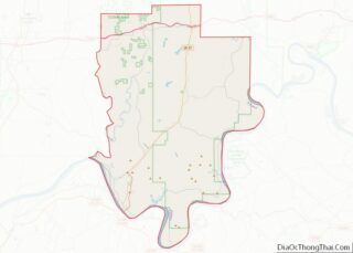
Cannelton location map. Where is Cannelton city?
History
The name Cannelton was adopted in 1844, and is derived from the cannel coal that was once mined in the area. A post office has been in operation at Cannelton since 1844.
The Cannelton Cotton Mill, Cannelton Historic District, and St. Luke’s Episcopal Church are listed on the National Register of Historic Places.
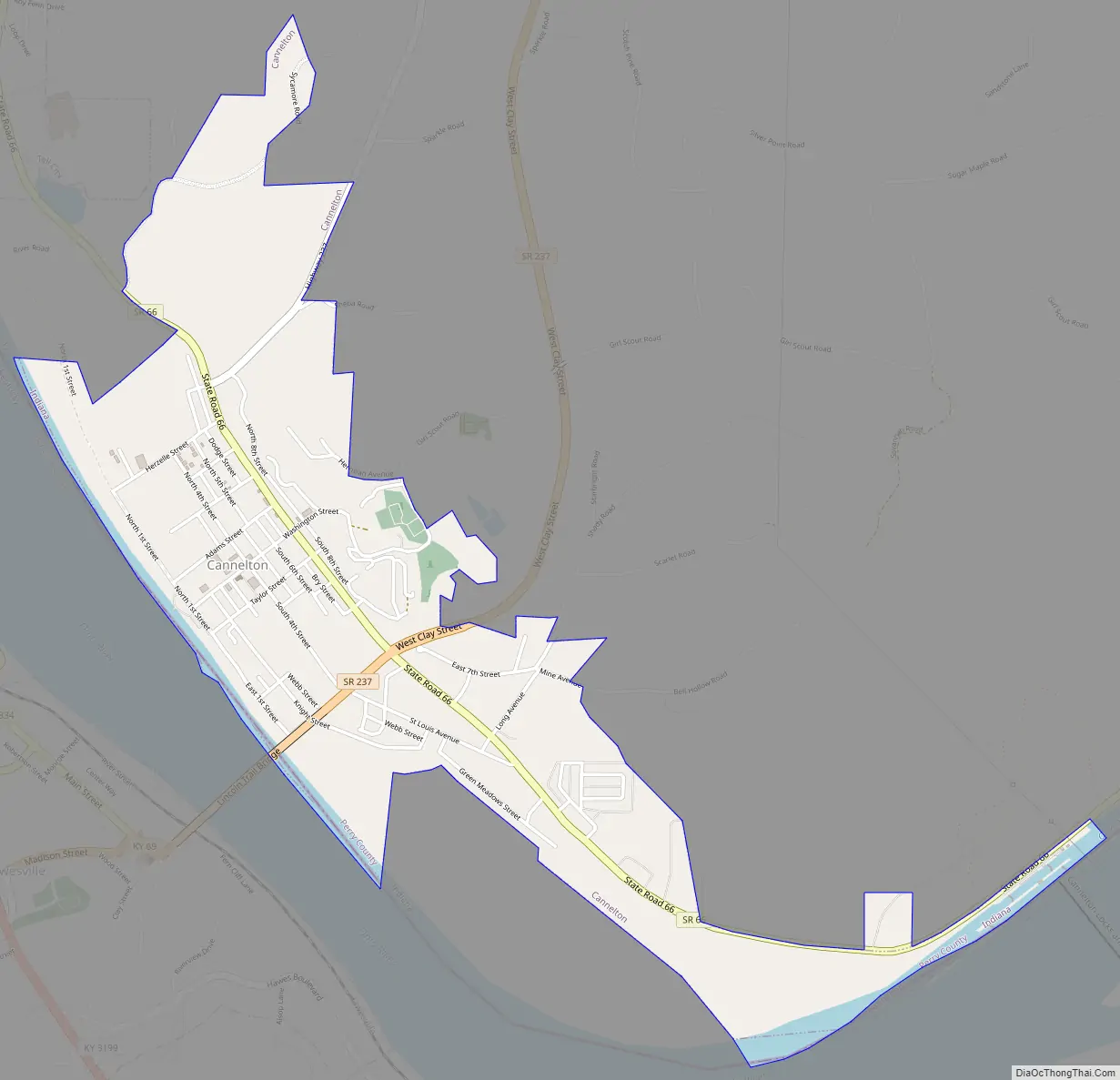
Cannelton Road Map
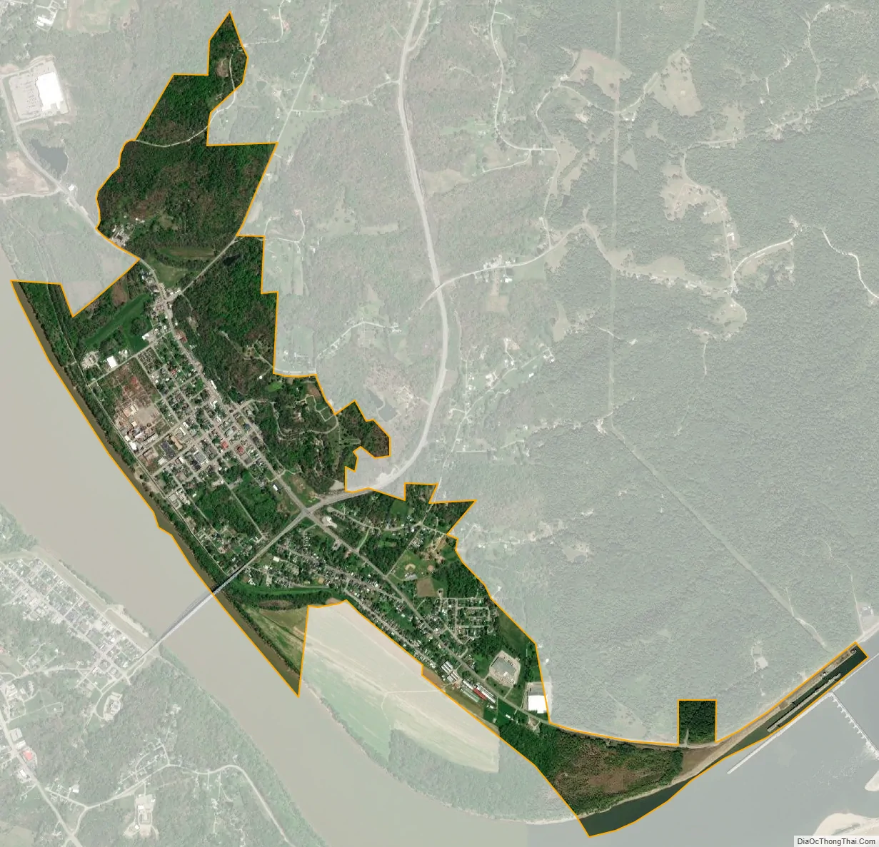
Cannelton city Satellite Map
Geography
Cannelton is located at 37°54′36″N 86°44′24″W / 37.91000°N 86.74000°W / 37.91000; -86.74000 (37.910134, -86.739931).
According to the 2010 census, Cannelton has a total area of 1.582 square miles (4.10 km), of which 1.48 square miles (3.83 km) (or 93.55%) is land and 0.102 square miles (0.26 km) (or 6.45%) is water.
Climate
The climate in this area is characterized by hot, humid summers and generally mild to cool winters. According to the Köppen Climate Classification system, Cannelton has a humid subtropical climate, abbreviated “Cfa” on climate maps.
See also
Map of Indiana State and its subdivision:- Adams
- Allen
- Bartholomew
- Benton
- Blackford
- Boone
- Brown
- Carroll
- Cass
- Clark
- Clay
- Clinton
- Crawford
- Daviess
- De Kalb
- Dearborn
- Decatur
- Delaware
- Dubois
- Elkhart
- Fayette
- Floyd
- Fountain
- Franklin
- Fulton
- Gibson
- Grant
- Greene
- Hamilton
- Hancock
- Harrison
- Hendricks
- Henry
- Howard
- Huntington
- Jackson
- Jasper
- Jay
- Jefferson
- Jennings
- Johnson
- Knox
- Kosciusko
- LaGrange
- Lake
- Lake Michigan
- LaPorte
- Lawrence
- Madison
- Marion
- Marshall
- Martin
- Miami
- Monroe
- Montgomery
- Morgan
- Newton
- Noble
- Ohio
- Orange
- Owen
- Parke
- Perry
- Pike
- Porter
- Posey
- Pulaski
- Putnam
- Randolph
- Ripley
- Rush
- Saint Joseph
- Scott
- Shelby
- Spencer
- Starke
- Steuben
- Sullivan
- Switzerland
- Tippecanoe
- Tipton
- Union
- Vanderburgh
- Vermillion
- Vigo
- Wabash
- Warren
- Warrick
- Washington
- Wayne
- Wells
- White
- Whitley
- Alabama
- Alaska
- Arizona
- Arkansas
- California
- Colorado
- Connecticut
- Delaware
- District of Columbia
- Florida
- Georgia
- Hawaii
- Idaho
- Illinois
- Indiana
- Iowa
- Kansas
- Kentucky
- Louisiana
- Maine
- Maryland
- Massachusetts
- Michigan
- Minnesota
- Mississippi
- Missouri
- Montana
- Nebraska
- Nevada
- New Hampshire
- New Jersey
- New Mexico
- New York
- North Carolina
- North Dakota
- Ohio
- Oklahoma
- Oregon
- Pennsylvania
- Rhode Island
- South Carolina
- South Dakota
- Tennessee
- Texas
- Utah
- Vermont
- Virginia
- Washington
- West Virginia
- Wisconsin
- Wyoming