Centerville is a town in Center Township, Wayne County, in the U.S. state of Indiana. The population was 2,552 at the 2010 United States Census. Centerville town overview: Name: Centerville town LSAD Code: 43 LSAD Description: town (suffix) State: Indiana County: Wayne County Elevation: 1,014 ft (309 m) Total Area: 3.54 sq mi (9.17 km²) Land Area: 3.52 sq mi (9.11 km²) Water ... Read more
Indiana Cities and Places
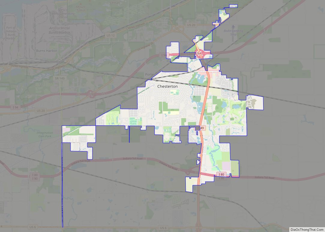
Chesterton is a town in Westchester, Jackson and Liberty townships in Porter County, in the U.S. state of Indiana. The population was 14,241 at the 2020 Census. The three towns of Chesterton, Burns Harbor, and Porter are known as the Duneland area. Chesterton town overview: Name: Chesterton town LSAD Code: 43 LSAD Description: town (suffix) ... Read more
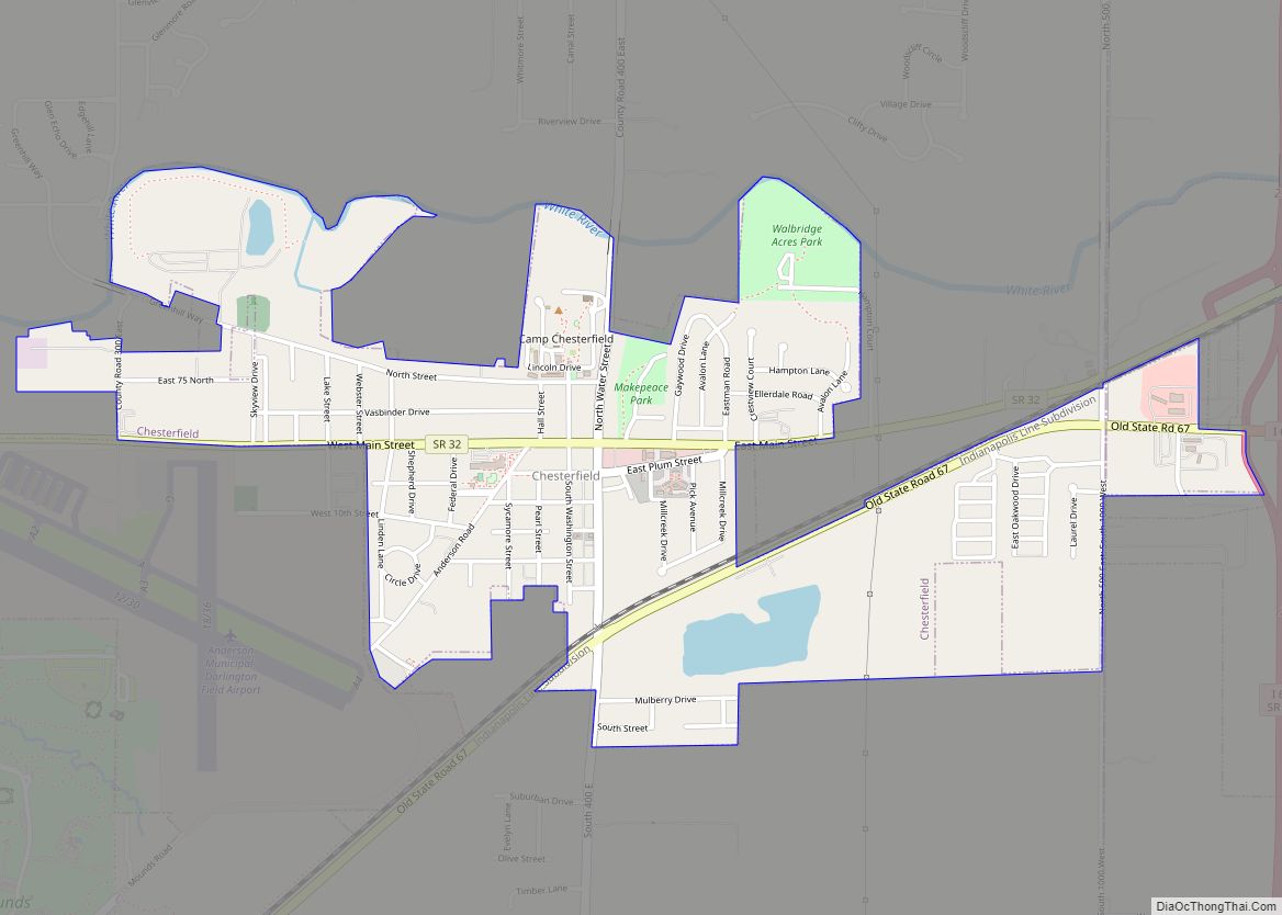
Chesterfield is a town in the U.S. state of Indiana which lies in Union Township, Madison County, and Salem Township, Delaware County. The population was 2,490 at the 2020 census. It is part of the Indianapolis–Carmel–Anderson metropolitan statistical area. Chesterfield town overview: Name: Chesterfield town LSAD Code: 43 LSAD Description: town (suffix) State: Indiana County: ... Read more
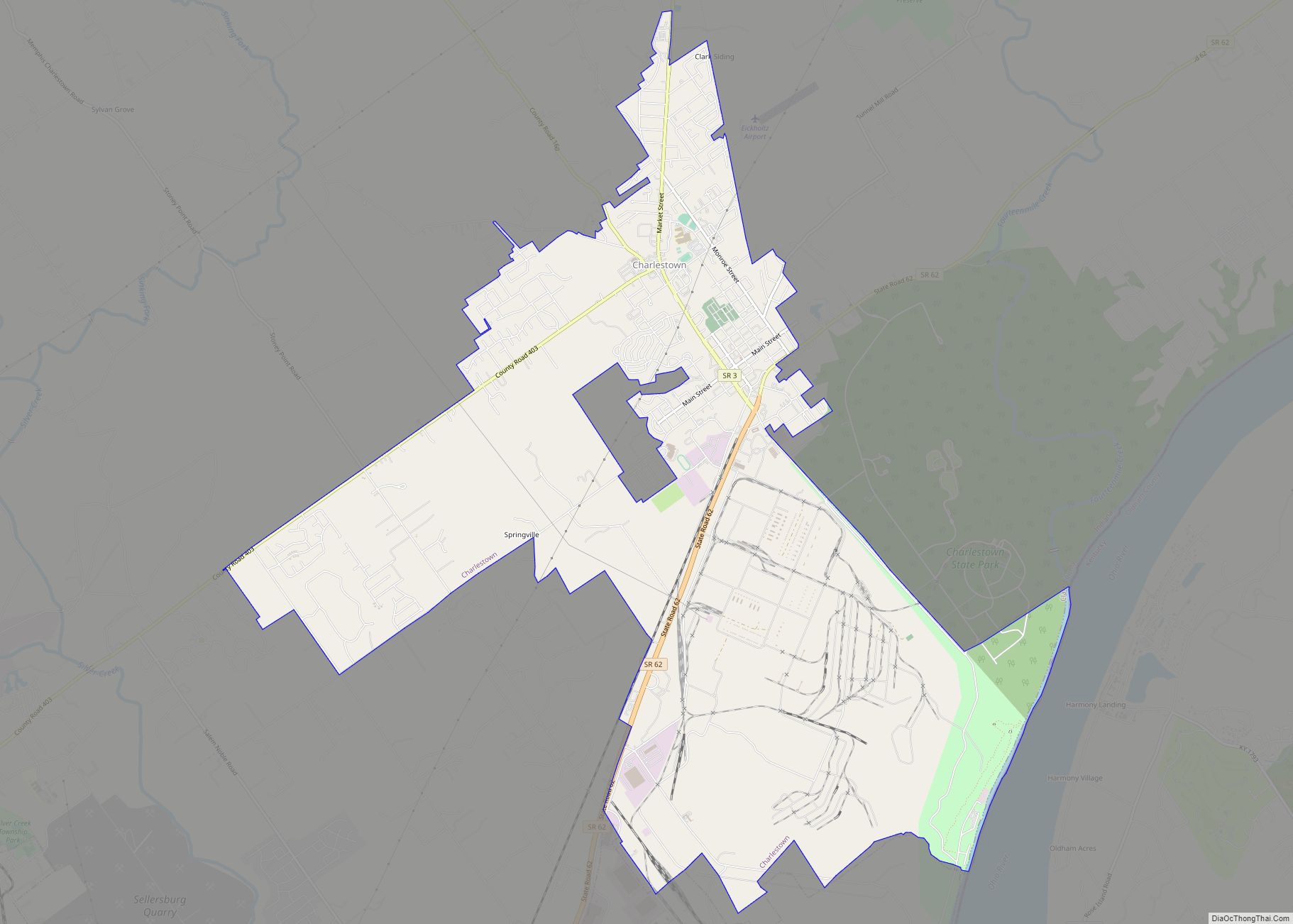
Charlestown is a city located within Charlestown Township, in Clark County, Indiana, United States. The population was 7,775 at the 2020 census. Charlestown city overview: Name: Charlestown city LSAD Code: 25 LSAD Description: city (suffix) State: Indiana County: Clark County Elevation: 591 ft (180 m) Total Area: 11.49 sq mi (29.75 km²) Land Area: 11.45 sq mi (29.65 km²) Water Area: 0.04 sq mi (0.10 km²) ... Read more
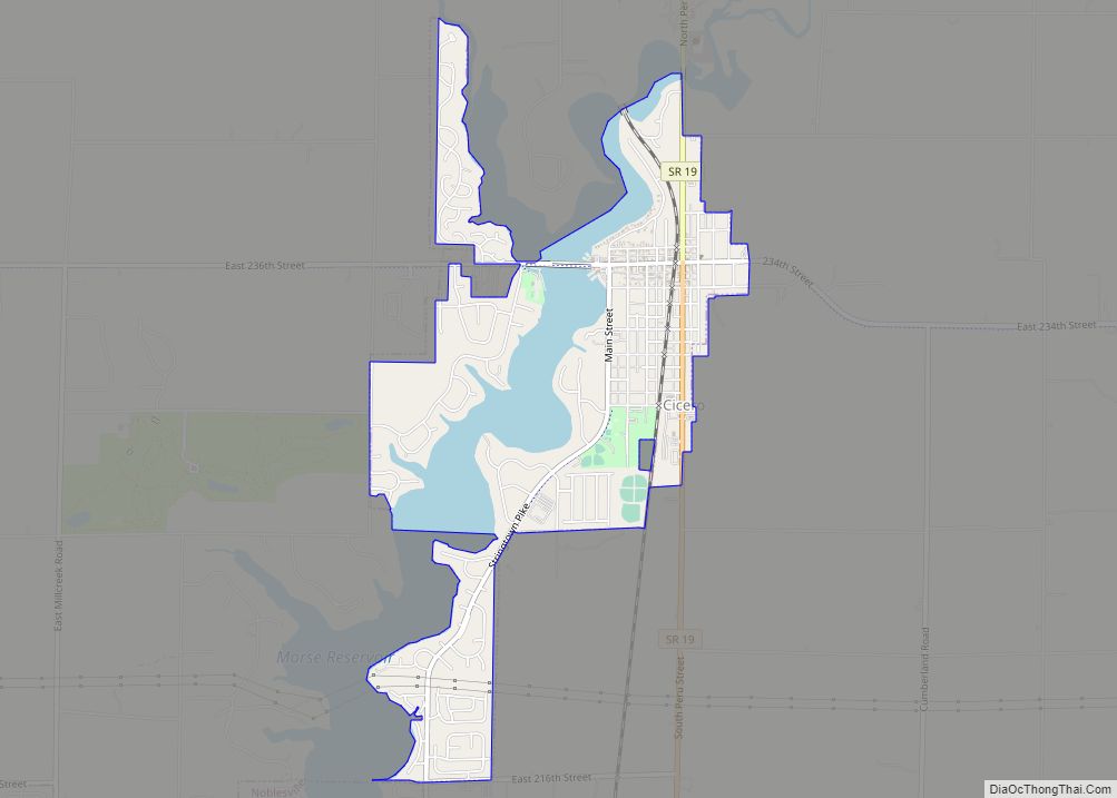
Cicero is a town in Jackson Township, Hamilton County, Indiana, United States, north of Indianapolis. The population was 4,812 at the 2010 census. Cicero is notable for welcoming teenaged AIDS activist Ryan White to its community in 1987. White is buried in Cicero. Cicero town overview: Name: Cicero town LSAD Code: 43 LSAD Description: town ... Read more
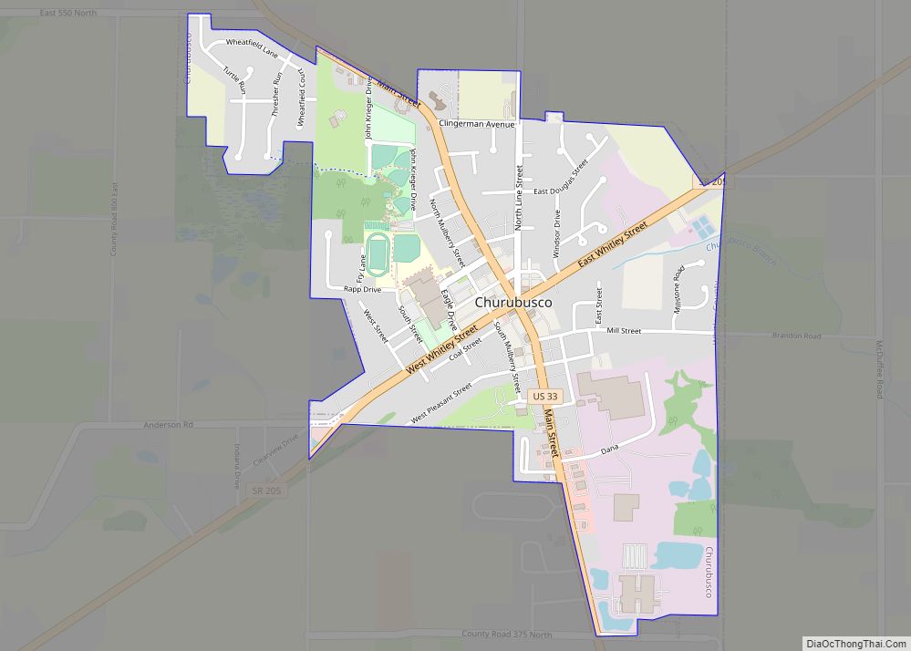
Churubusco (/ˌtʃɛrəˈbʌskoʊ/ or /ˌtʃɛriˈbʌsɡoʊ/); often shortened to Busco (/ˈbʌskoʊ/), is a town located near the headwaters of the Eel River in the extreme northeast corner of Whitley County, Indiana, United States, in Smith Township, about 16 miles (26 km) northwest of Fort Wayne. The population was 1,796 at the 2010 census. Churubusco town overview: Name: Churubusco ... Read more
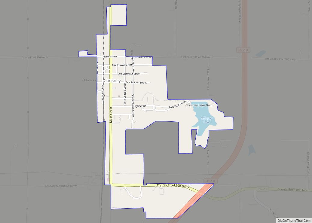
Chrisney is a town in Grass Township, Spencer County, in the U.S. state of Indiana. The population was 481 at the 2010 census. Chrisney town overview: Name: Chrisney town LSAD Code: 43 LSAD Description: town (suffix) State: Indiana County: Spencer County Elevation: 472 ft (144 m) Total Area: 0.73 sq mi (1.90 km²) Land Area: 0.71 sq mi (1.83 km²) Water Area: 0.03 sq mi ... Read more
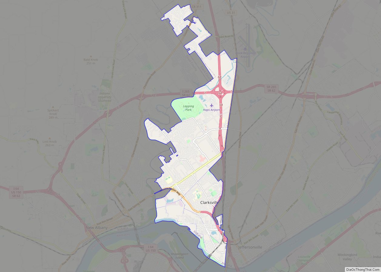
Clarksville is a town in Clark County, Indiana, United States, along the Ohio River and is a part of the Louisville Metropolitan area. The population was 22,333 at the 2020 census. The town was founded in 1783 by early resident George Rogers Clark at the only seasonal rapids on the entire Ohio River, it is ... Read more
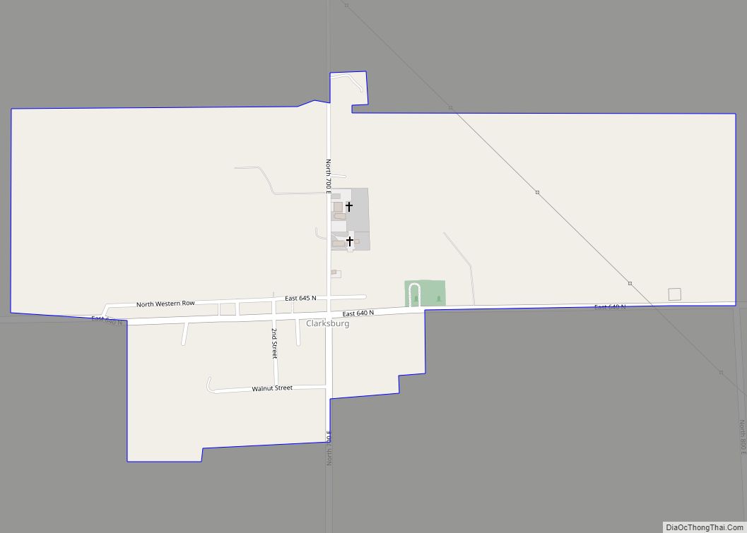
Clarksburg is an unincorporated community and census-designated place in Fugit Township, Decatur County, Indiana, United States. As of the 2010 census, the population of Clarksburg was 149. Clarksburg CDP overview: Name: Clarksburg CDP LSAD Code: 57 LSAD Description: CDP (suffix) State: Indiana County: Decatur County Elevation: 1,056 ft (322 m) Total Area: 0.48 sq mi (1.24 km²) Land Area: 0.48 sq mi ... Read more
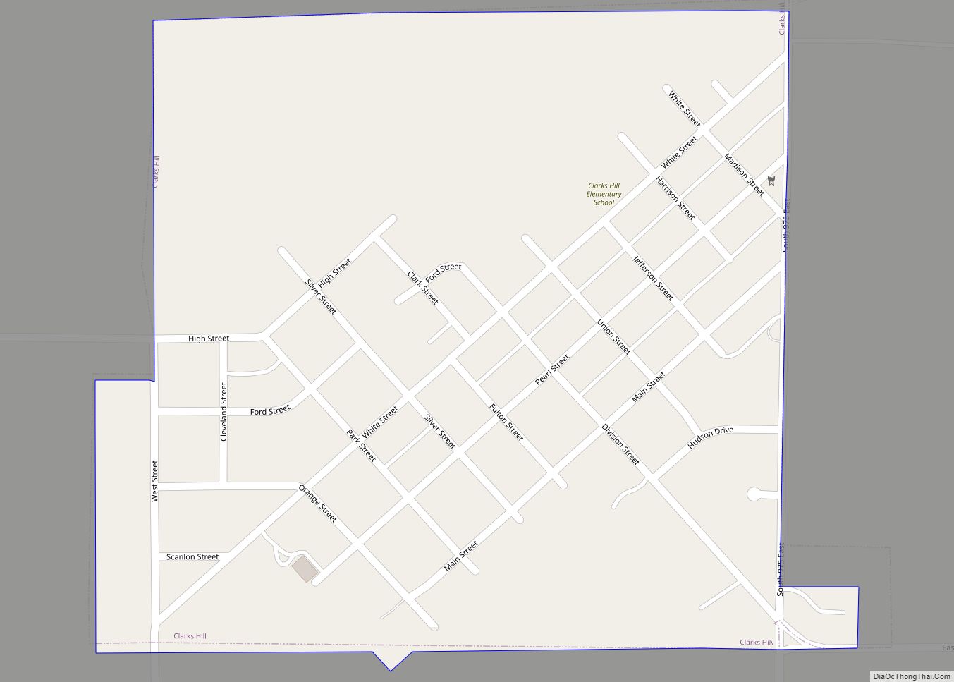
Clarks Hill is a town in Lauramie Township, Tippecanoe County, in the U.S. state of Indiana. The population was 611 at the 2010 census. It is part of the Lafayette, Indiana Metropolitan Statistical Area. Clarks Hill town overview: Name: Clarks Hill town LSAD Code: 43 LSAD Description: town (suffix) State: Indiana County: Tippecanoe County Elevation: ... Read more
Clayton town overview: Name: Clayton town LSAD Code: 43 LSAD Description: town (suffix) State: Indiana County: Hendricks County FIPS code: 1813366 Online Interactive Map Clayton online map. Source: Basemap layers from Google Map, Open Street Map (OSM), Arcgisonline, Wmflabs. Boundary Data from Database of Global Administrative Areas. Clayton location map. Where is Clayton town? Clayton ... Read more
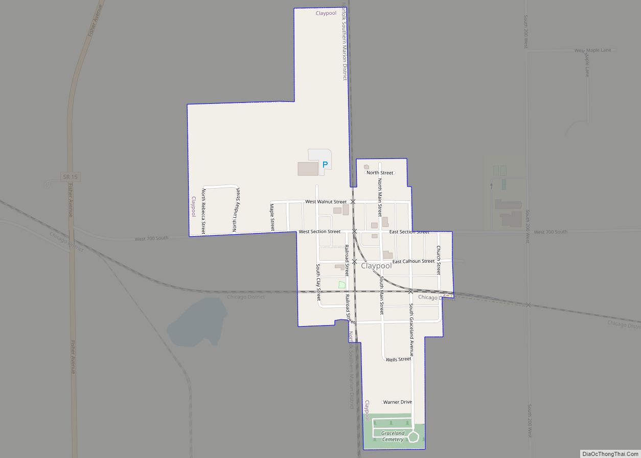
Claypool is a town in Clay Township, Kosciusko County, in the U.S. state of Indiana. The population was 431 at the 2010 census. Claypool town overview: Name: Claypool town LSAD Code: 43 LSAD Description: town (suffix) State: Indiana County: Kosciusko County Elevation: 889 ft (271 m) Total Area: 0.25 sq mi (0.65 km²) Land Area: 0.24 sq mi (0.63 km²) Water Area: 0.01 sq mi ... Read more

