Cicero is a town in Jackson Township, Hamilton County, Indiana, United States, north of Indianapolis. The population was 4,812 at the 2010 census.
Cicero is notable for welcoming teenaged AIDS activist Ryan White to its community in 1987. White is buried in Cicero.
| Name: | Cicero town |
|---|---|
| LSAD Code: | 43 |
| LSAD Description: | town (suffix) |
| State: | Indiana |
| County: | Hamilton County |
| Elevation: | 833 ft (254 m) |
| Total Area: | 2.04 sq mi (5.29 km²) |
| Land Area: | 1.63 sq mi (4.22 km²) |
| Water Area: | 0.41 sq mi (1.07 km²) |
| Total Population: | 5,301 |
| Population Density: | 3,254.14/sq mi (1,256.60/km²) |
| ZIP code: | 46034 |
| Area code: | 317 |
| FIPS code: | 1812628 |
| GNISfeature ID: | 0432518 |
| Website: | http://www.ciceroin.org |
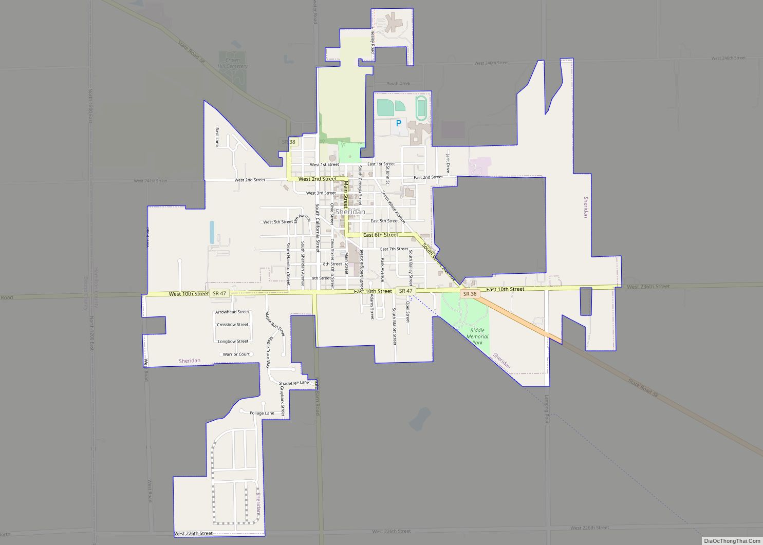
Online Interactive Map
Click on ![]() to view map in "full screen" mode.
to view map in "full screen" mode.
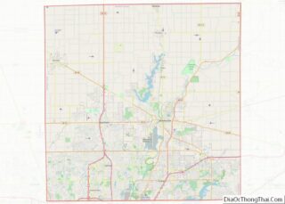
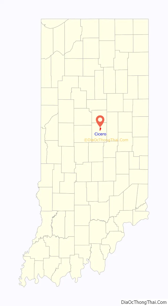
Cicero location map. Where is Cicero town?

History
Cicero was founded in 1835. The town took its name from Cicero Creek. The first post office in Jackson Township was established at Cicero in 1839.
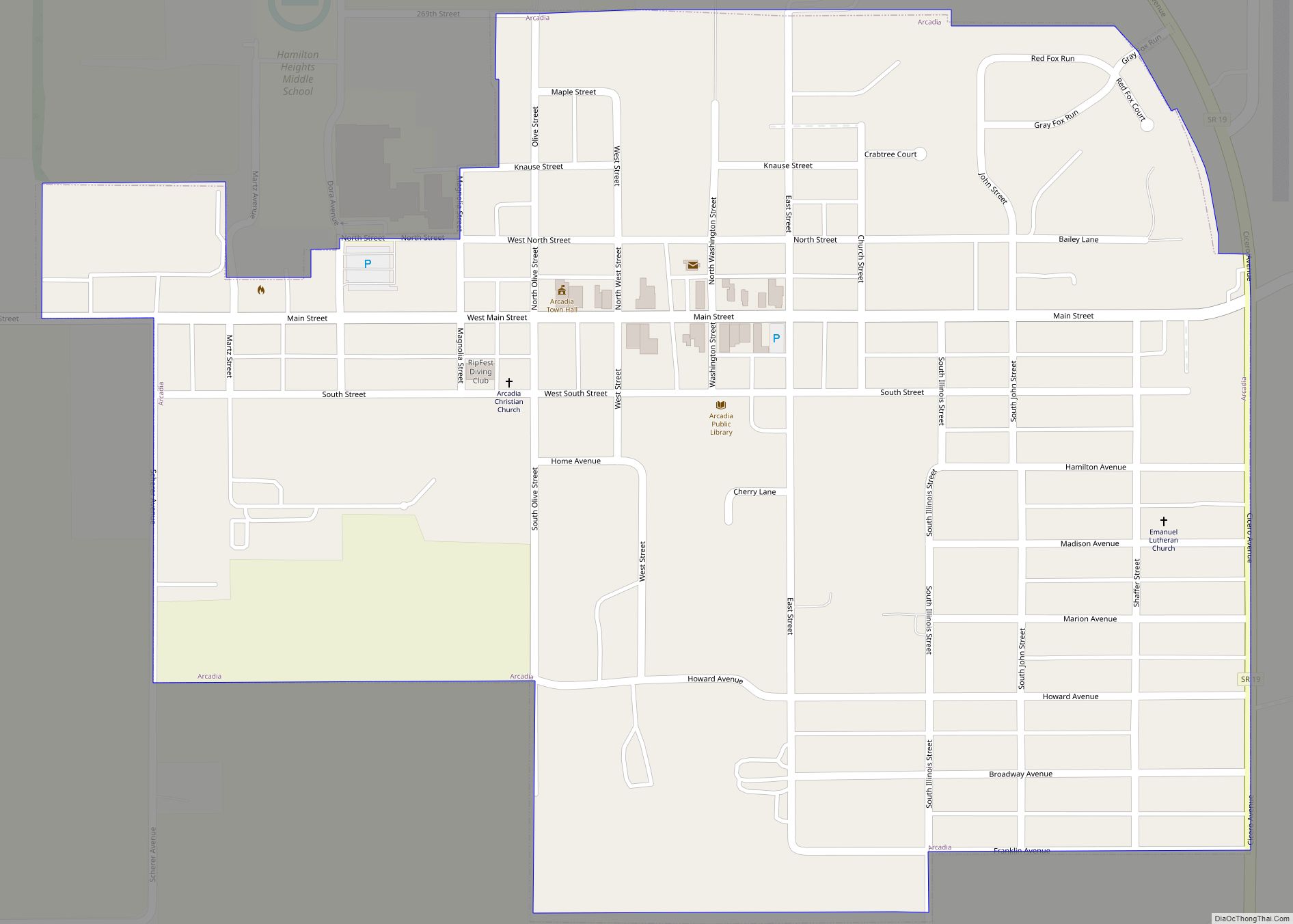
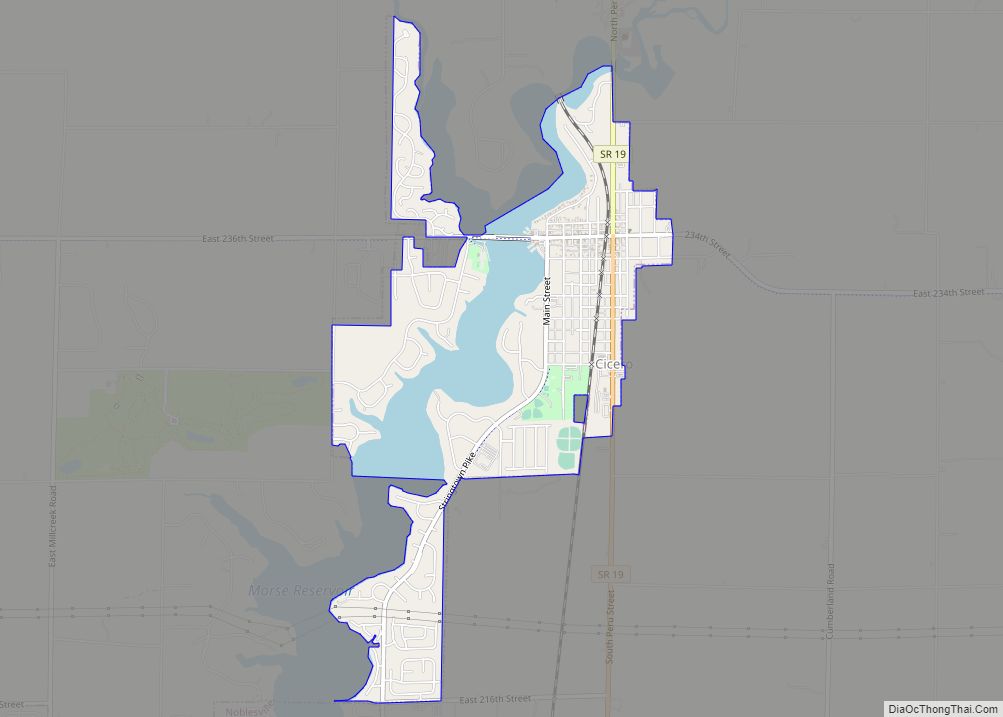
Cicero Road Map

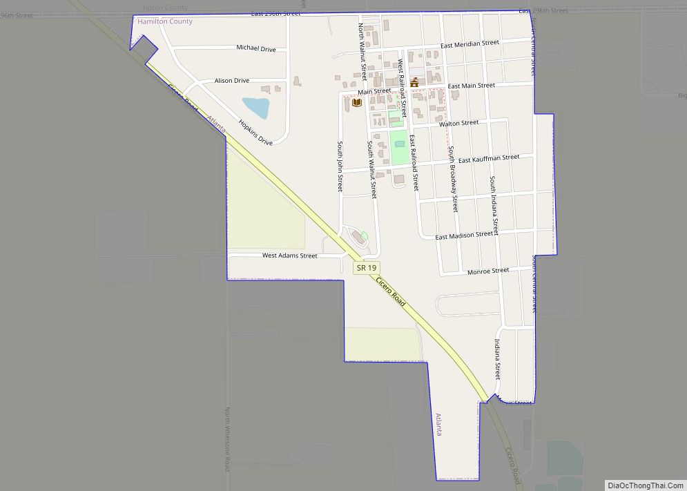
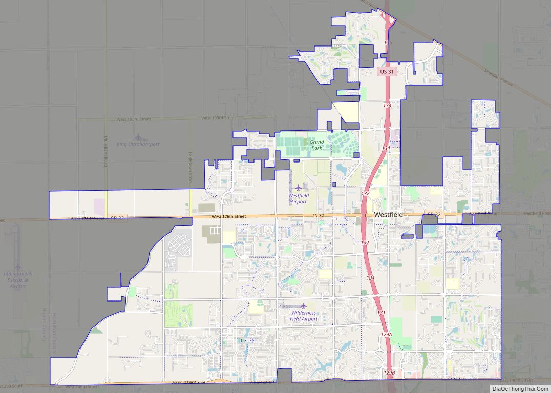
Cicero city Satellite Map
Geography
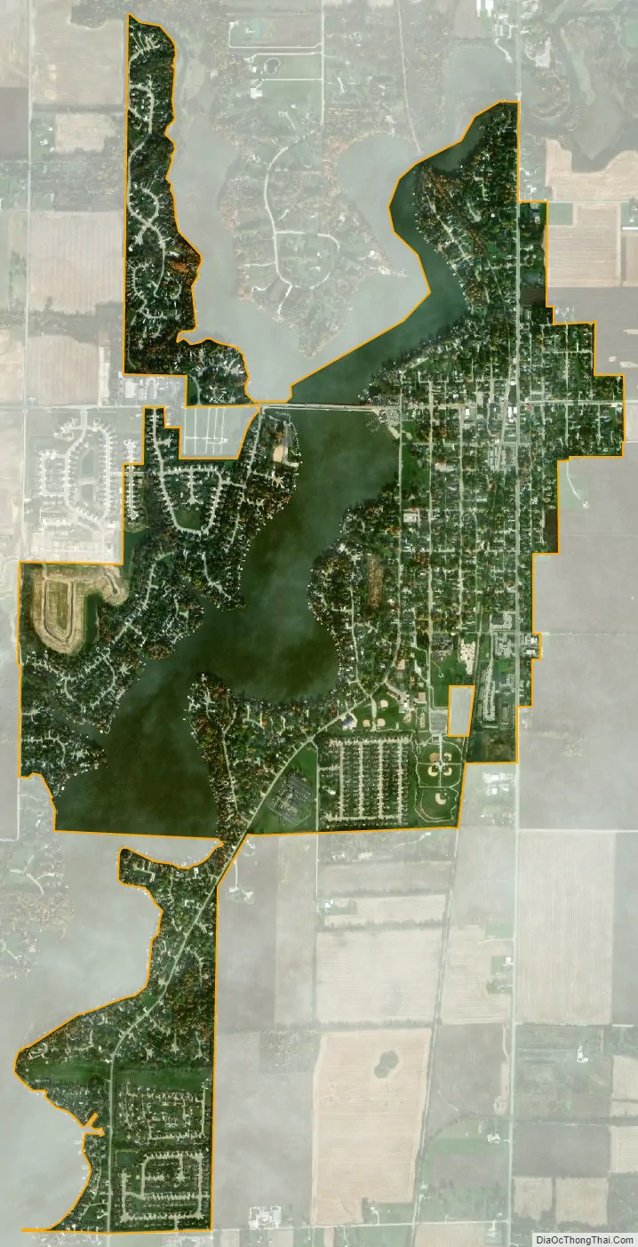
Cicero is located on the northeast shore of Morse Reservoir, at 40°7′39″N 86°1′6″W / 40.12750°N 86.01833°W / 40.12750; -86.01833 (40.127568, -86.018375).
According to the 2010 census, Cicero has a total area of 2.12 square miles (5.49 km), of which 1.71 square miles (4.43 km) (or 80.66%) is land and 0.41 square miles (1.06 km) (or 19.34%) is water.
See also
Map of Indiana State and its subdivision:- Adams
- Allen
- Bartholomew
- Benton
- Blackford
- Boone
- Brown
- Carroll
- Cass
- Clark
- Clay
- Clinton
- Crawford
- Daviess
- De Kalb
- Dearborn
- Decatur
- Delaware
- Dubois
- Elkhart
- Fayette
- Floyd
- Fountain
- Franklin
- Fulton
- Gibson
- Grant
- Greene
- Hamilton
- Hancock
- Harrison
- Hendricks
- Henry
- Howard
- Huntington
- Jackson
- Jasper
- Jay
- Jefferson
- Jennings
- Johnson
- Knox
- Kosciusko
- LaGrange
- Lake
- Lake Michigan
- LaPorte
- Lawrence
- Madison
- Marion
- Marshall
- Martin
- Miami
- Monroe
- Montgomery
- Morgan
- Newton
- Noble
- Ohio
- Orange
- Owen
- Parke
- Perry
- Pike
- Porter
- Posey
- Pulaski
- Putnam
- Randolph
- Ripley
- Rush
- Saint Joseph
- Scott
- Shelby
- Spencer
- Starke
- Steuben
- Sullivan
- Switzerland
- Tippecanoe
- Tipton
- Union
- Vanderburgh
- Vermillion
- Vigo
- Wabash
- Warren
- Warrick
- Washington
- Wayne
- Wells
- White
- Whitley
- Alabama
- Alaska
- Arizona
- Arkansas
- California
- Colorado
- Connecticut
- Delaware
- District of Columbia
- Florida
- Georgia
- Hawaii
- Idaho
- Illinois
- Indiana
- Iowa
- Kansas
- Kentucky
- Louisiana
- Maine
- Maryland
- Massachusetts
- Michigan
- Minnesota
- Mississippi
- Missouri
- Montana
- Nebraska
- Nevada
- New Hampshire
- New Jersey
- New Mexico
- New York
- North Carolina
- North Dakota
- Ohio
- Oklahoma
- Oregon
- Pennsylvania
- Rhode Island
- South Carolina
- South Dakota
- Tennessee
- Texas
- Utah
- Vermont
- Virginia
- Washington
- West Virginia
- Wisconsin
- Wyoming