Centerville is a town in Center Township, Wayne County, in the U.S. state of Indiana. The population was 2,552 at the 2010 United States Census.
| Name: | Centerville town |
|---|---|
| LSAD Code: | 43 |
| LSAD Description: | town (suffix) |
| State: | Indiana |
| County: | Wayne County |
| Elevation: | 1,014 ft (309 m) |
| Total Area: | 3.54 sq mi (9.17 km²) |
| Land Area: | 3.52 sq mi (9.11 km²) |
| Water Area: | 0.02 sq mi (0.06 km²) |
| Total Population: | 2,748 |
| Population Density: | 781.13/sq mi (301.60/km²) |
| ZIP code: | 47330 |
| Area code: | 765 |
| FIPS code: | 1811836 |
| GNISfeature ID: | 432346 |
| Website: | http://www.town.centerville.in.us/ |
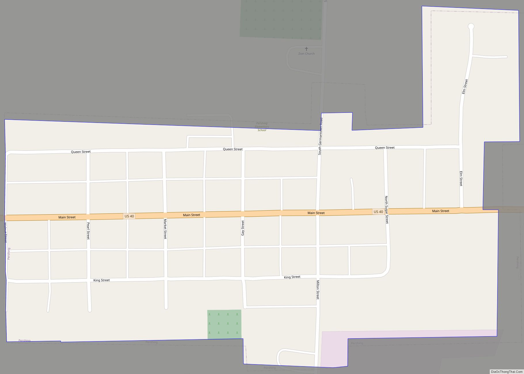
Online Interactive Map
Click on ![]() to view map in "full screen" mode.
to view map in "full screen" mode.
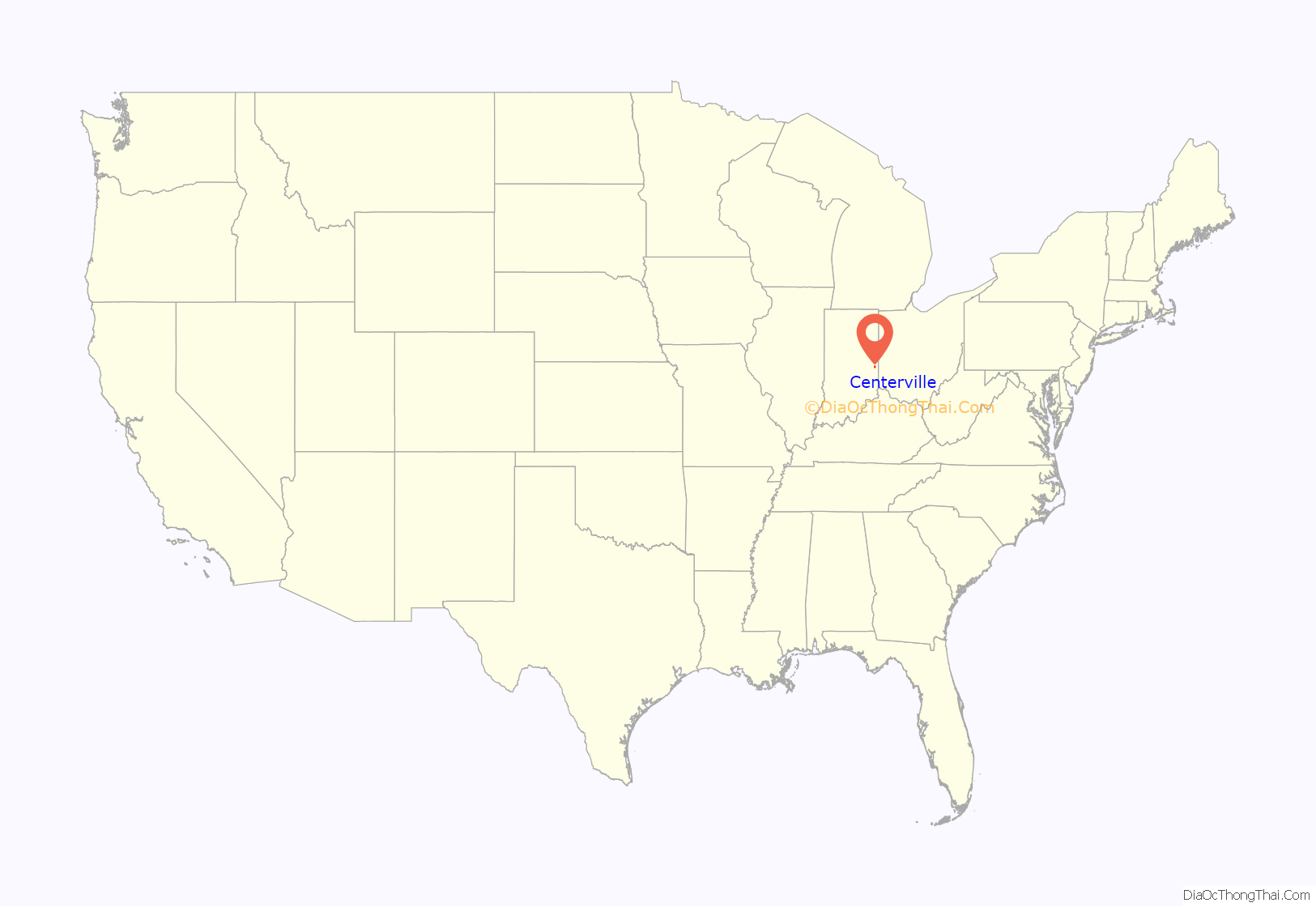
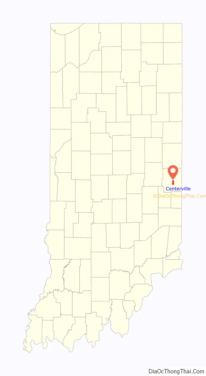
Centerville location map. Where is Centerville town?
History
Centerville was platted in 1814 on land bought from the Miami Indians at the Twelve Mile Purchase. It was settled by Quakers originally from Centreville, Delaware. Centre Monthly Meeting in Delaware is part of Baltimore Yearly Meeting of the Society of Friends, whose Indian relations office first sent a delegation of Quakers to Indiana Territory at the request of Chief Little Turtle of the Miami Indians, who visited them in Baltimore. Friends from Delaware lived for a time in Guilford County, North Carolina before permanently moving to Indiana Territory when it opened for settlement. The community is said to be named for its location near the middle of the county, but it’s not in the center. A little-known county seat war was fought in Wayne County in 1873 between Centerville and Richmond. The county seat had been located in Centerville (Center Township) since 1818. By 1870, Richmond (Wayne Township) had surpassed Centerville in business, population, and tax revenue. These factors led the population of Wayne Township to demand the county seat be moved to Richmond. The dispute was played out in the newspapers, courts, and petitions, with Richmond the eventual winner. A new courthouse was erected in Richmond and preparations were made to move records from Centerville to Richmond. Centerville residents twice stopped Richmond’s officials’ efforts to move the records, first with guarded locked gates, then by firing on their own courthouse with a three-pound cannon nicknamed “Black Betty.” The cannon was used when Richmond guards were brought in to protect the records. The cannon had been loaded with iron scraps. A crowd demanded the guard come out of the Centerville courthouse. When they refused, the cannon was fired, the door blown off its hinges, and the guards were forced to beat a hasty retreat. Soldiers were brought in the next day to move the records to Richmond. Centerville’s tenure as county seat had come to an end. The holes from the cannon shot are still visible over the door of the old courthouse, now the Center Township Library.
The Centerville post office has been in operation since 1818.
In 1828 the National Road, which ran along Centerville’s Main Street, was surveyed. It later became the first improved section of the trail in 1850 by a Special Act of Congress.
Centerville’s cobblestone street was a major stop along the trail to the West. During the height of the Gold Rush, 49,000 wagons would travel along the street each year.
Centerville is known as the “City of Arches” due to the five main arches on the Old National Road. The original road was 100 feet (30.5 m) wide, but was reduced to 65 feet (19.8 m) after several buildings in the town had encroached into the roadway. The arches were used as a way to get behind the buildings and into the backyards of the houses. The five arches in Centerville are the Backenstoes, Dill, Shortridge, Lantz, and Malone Archways, all built between 1823 and 1836. In August, Centerville has Archway Days, held to celebrate the historical archways.
Backenstoes Archway
Shortridge Archway
Malone Archway
Lantz Archway
Dill Archway
The Centerville Historic District (Centerville, Indiana), Oliver P. Morton House, and Westcott Stock Farm are listed on the National Register of Historic Places.
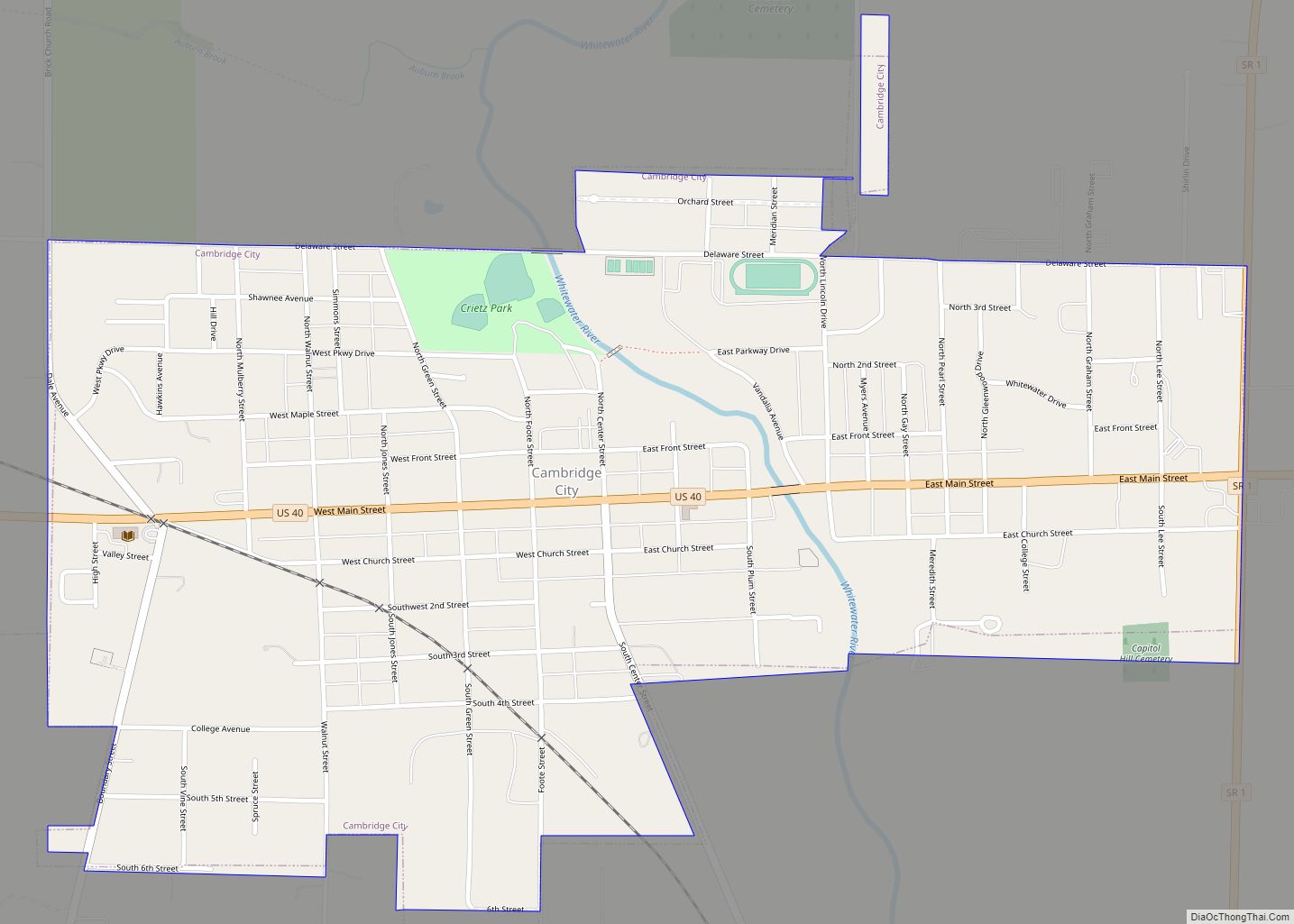
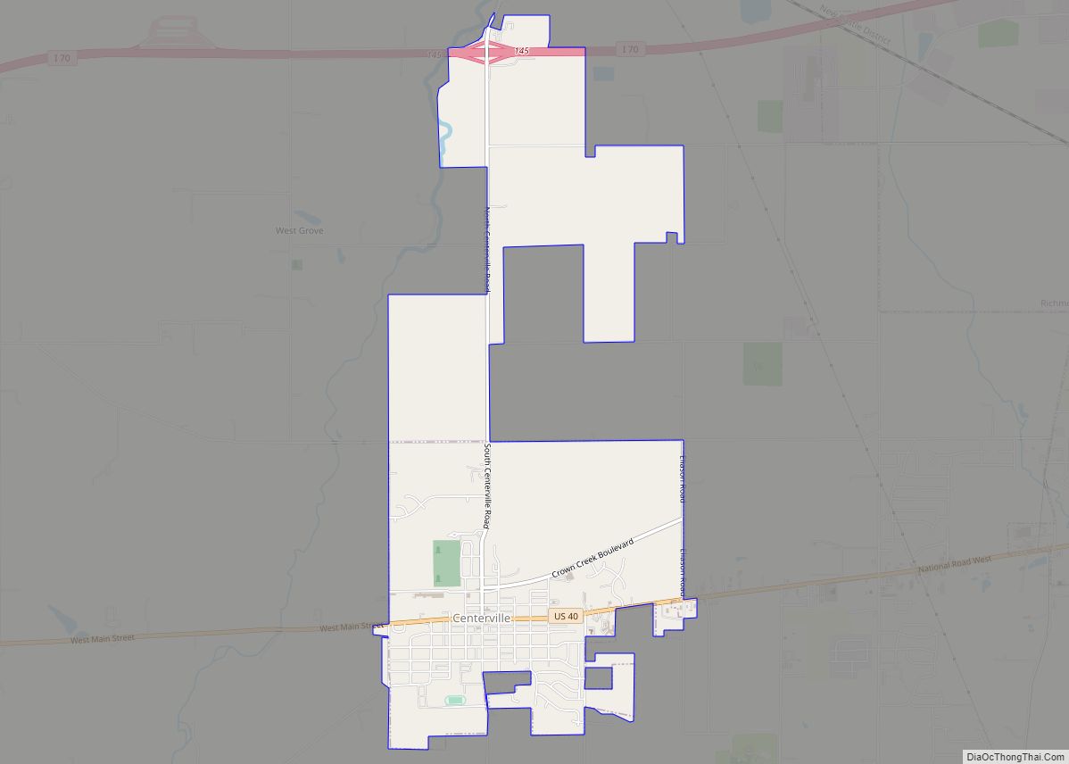
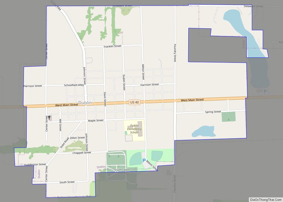
Centerville Road Map
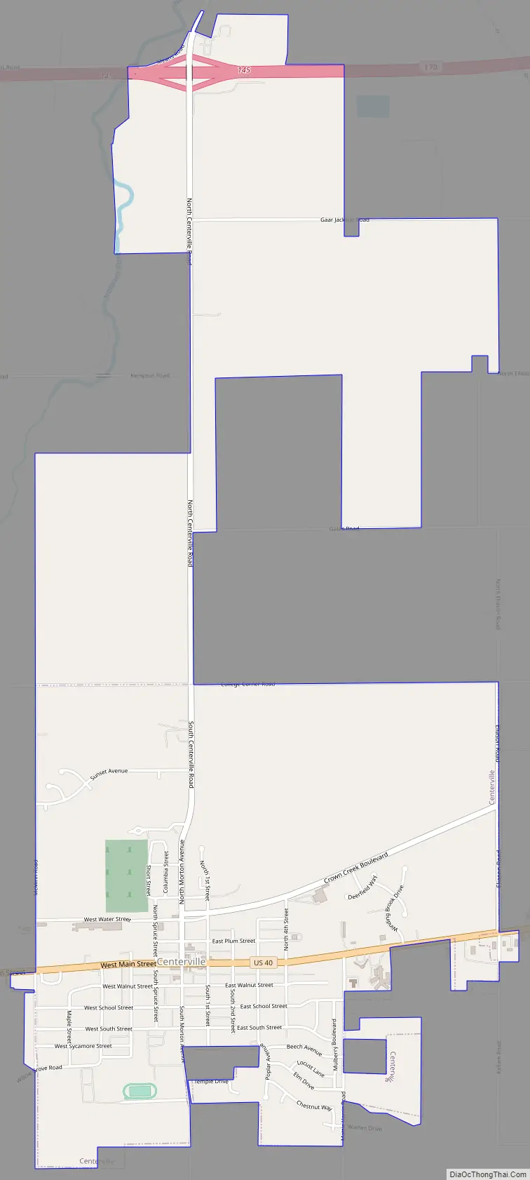
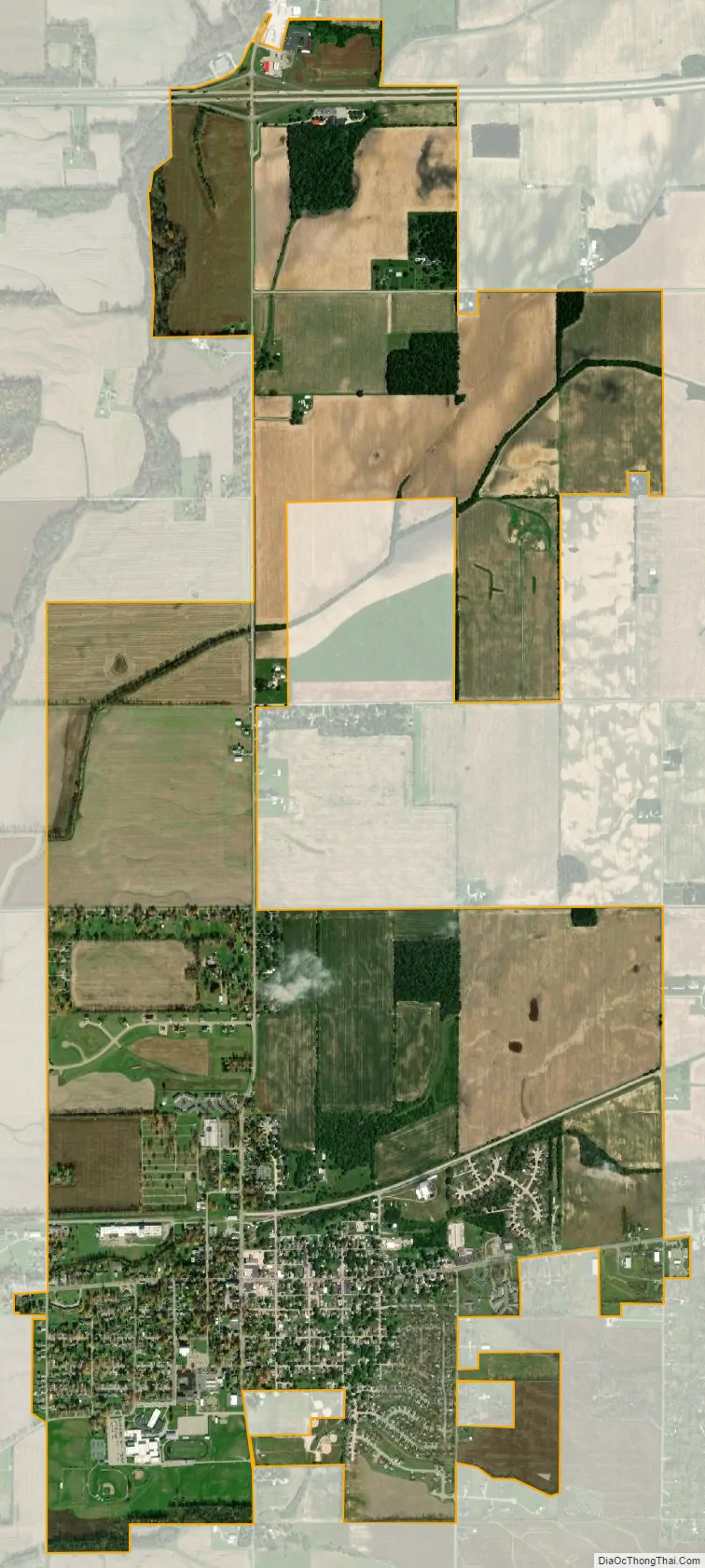
Centerville city Satellite Map
Geography
Centerville is located at 39°48′58″N 84°59′44″W / 39.81611°N 84.99556°W / 39.81611; -84.99556 (39.816141, -84.995420), at an altitude of 1,014 feet/309 m ASL. U.S. Route 40 runs east−west through town along Main Street.
According to the 2010 census, Centerville has a total area of 2.4 square miles (6.22 km), all land.
See also
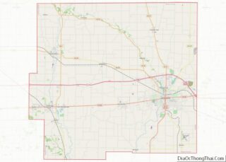
Map of Indiana State and its subdivision:- Adams
- Allen
- Bartholomew
- Benton
- Blackford
- Boone
- Brown
- Carroll
- Cass
- Clark
- Clay
- Clinton
- Crawford
- Daviess
- De Kalb
- Dearborn
- Decatur
- Delaware
- Dubois
- Elkhart
- Fayette
- Floyd
- Fountain
- Franklin
- Fulton
- Gibson
- Grant
- Greene
- Hamilton
- Hancock
- Harrison
- Hendricks
- Henry
- Howard
- Huntington
- Jackson
- Jasper
- Jay
- Jefferson
- Jennings
- Johnson
- Knox
- Kosciusko
- LaGrange
- Lake
- Lake Michigan
- LaPorte
- Lawrence
- Madison
- Marion
- Marshall
- Martin
- Miami
- Monroe
- Montgomery
- Morgan
- Newton
- Noble
- Ohio
- Orange
- Owen
- Parke
- Perry
- Pike
- Porter
- Posey
- Pulaski
- Putnam
- Randolph
- Ripley
- Rush
- Saint Joseph
- Scott
- Shelby
- Spencer
- Starke
- Steuben
- Sullivan
- Switzerland
- Tippecanoe
- Tipton
- Union
- Vanderburgh
- Vermillion
- Vigo
- Wabash
- Warren
- Warrick
- Washington
- Wayne
- Wells
- White
- Whitley
- Alabama
- Alaska
- Arizona
- Arkansas
- California
- Colorado
- Connecticut
- Delaware
- District of Columbia
- Florida
- Georgia
- Hawaii
- Idaho
- Illinois
- Indiana
- Iowa
- Kansas
- Kentucky
- Louisiana
- Maine
- Maryland
- Massachusetts
- Michigan
- Minnesota
- Mississippi
- Missouri
- Montana
- Nebraska
- Nevada
- New Hampshire
- New Jersey
- New Mexico
- New York
- North Carolina
- North Dakota
- Ohio
- Oklahoma
- Oregon
- Pennsylvania
- Rhode Island
- South Carolina
- South Dakota
- Tennessee
- Texas
- Utah
- Vermont
- Virginia
- Washington
- West Virginia
- Wisconsin
- Wyoming