Chrisney is a town in Grass Township, Spencer County, in the U.S. state of Indiana. The population was 481 at the 2010 census.
| Name: | Chrisney town |
|---|---|
| LSAD Code: | 43 |
| LSAD Description: | town (suffix) |
| State: | Indiana |
| County: | Spencer County |
| Elevation: | 472 ft (144 m) |
| Total Area: | 0.73 sq mi (1.90 km²) |
| Land Area: | 0.71 sq mi (1.83 km²) |
| Water Area: | 0.03 sq mi (0.07 km²) |
| Total Population: | 465 |
| Population Density: | 658.64/sq mi (254.33/km²) |
| ZIP code: | 47611 |
| Area code: | 812 |
| FIPS code: | 1812574 |
| GNISfeature ID: | 2396644 |
Online Interactive Map
Click on ![]() to view map in "full screen" mode.
to view map in "full screen" mode.
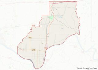
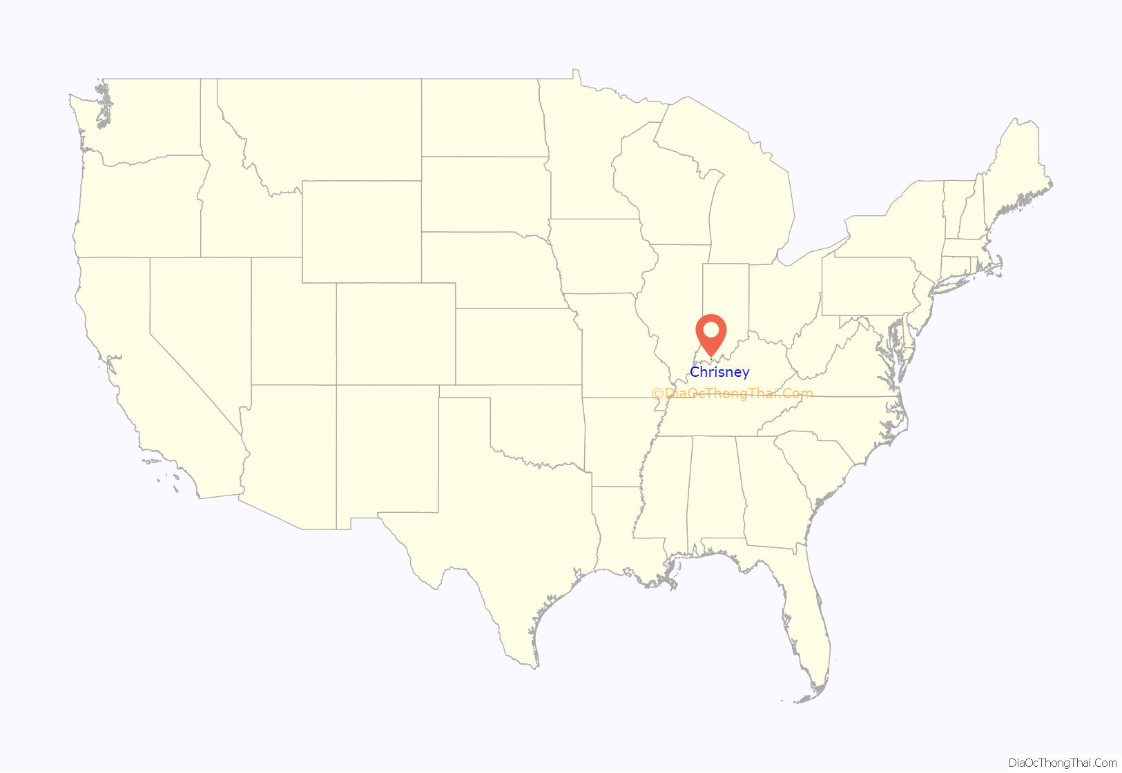
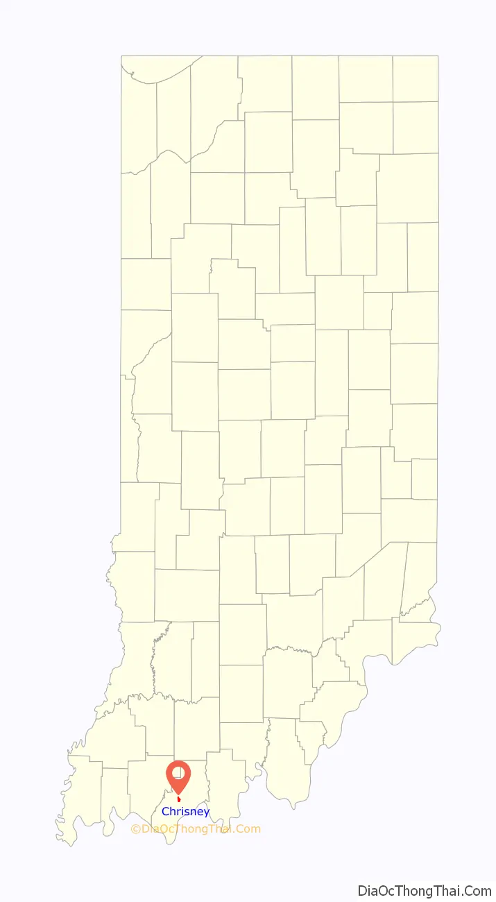
Chrisney location map. Where is Chrisney town?
History
Chrisney was originally called Spring Station, and under the latter name was founded in about 1871 when the railroad was extended to that point. A post office was established under the name Spring Station in 1874; in 1883 the post office was renamed Chrisney.
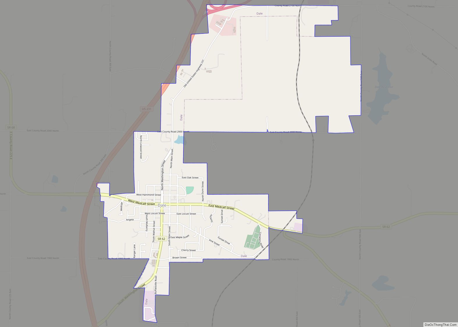
Chrisney High School was in existence from 1908-1972. It was closed in 1972, merging with Dale High School to form Heritage Hills High School.
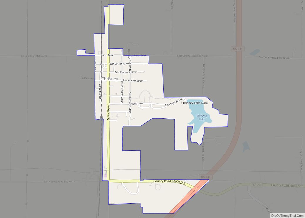
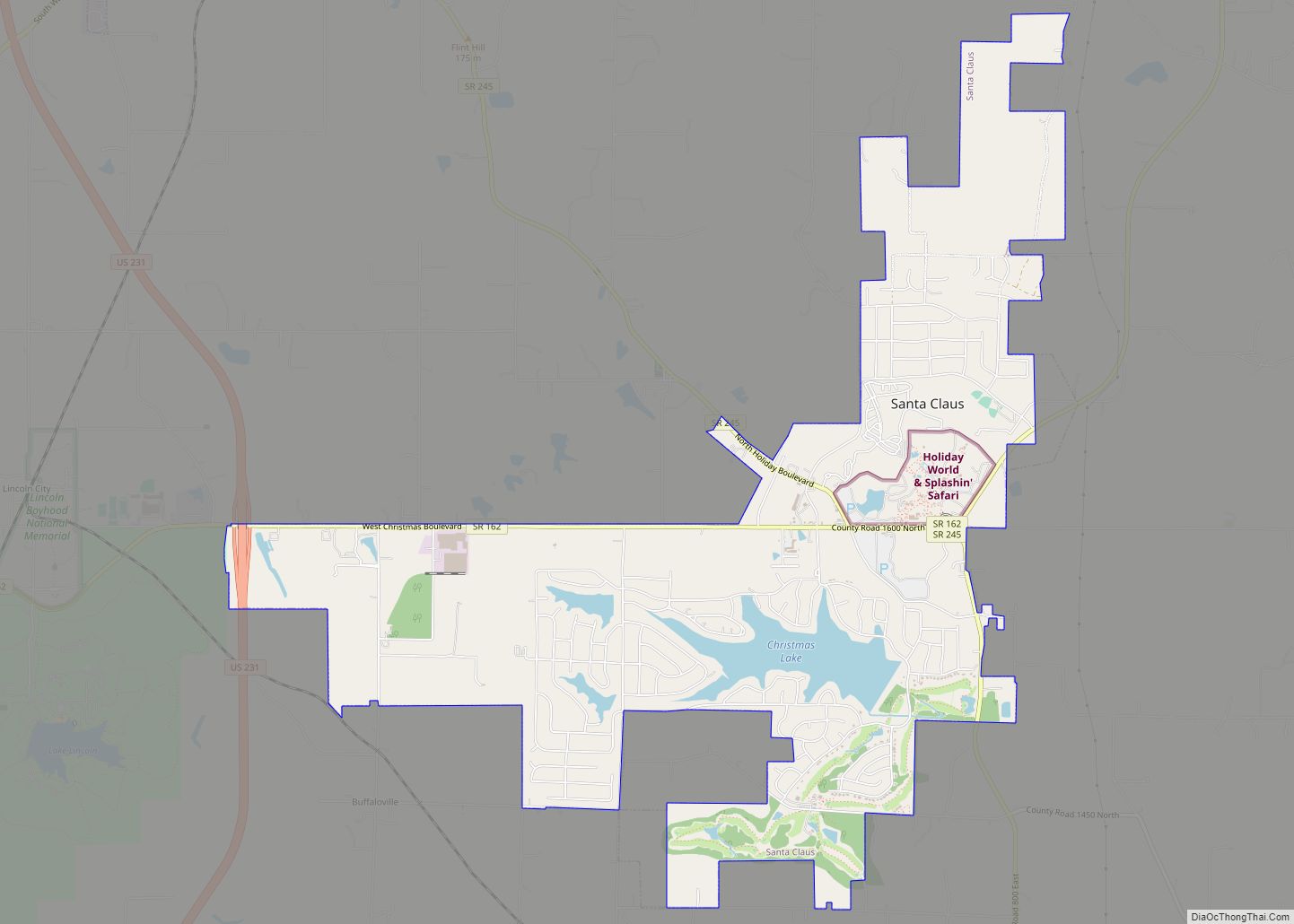
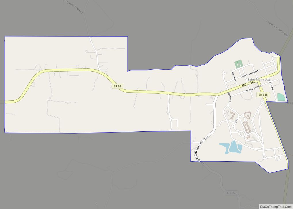
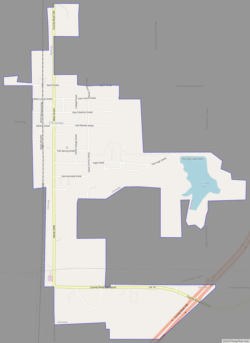
Chrisney Road Map
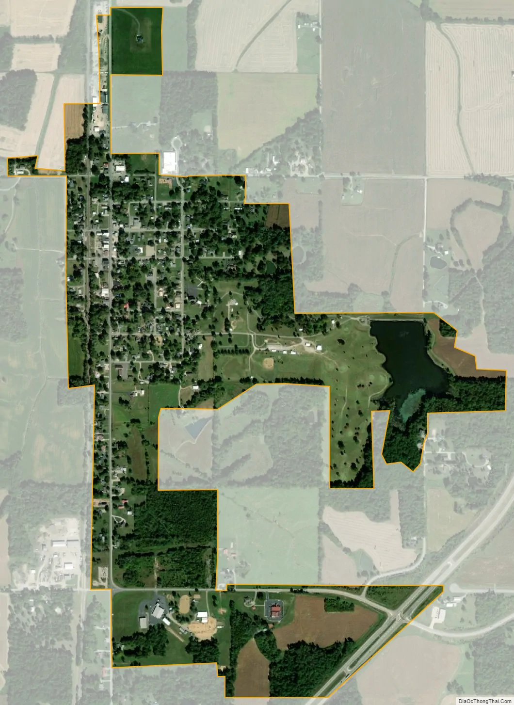
Chrisney city Satellite Map
Geography
According to the 2010 census, Chrisney has a total area of 0.74 square miles (1.92 km), of which 0.71 square miles (1.84 km) (or 95.95%) is land and 0.03 square miles (0.08 km) (or 4.05%) is water.
See also
Map of Indiana State and its subdivision:- Adams
- Allen
- Bartholomew
- Benton
- Blackford
- Boone
- Brown
- Carroll
- Cass
- Clark
- Clay
- Clinton
- Crawford
- Daviess
- De Kalb
- Dearborn
- Decatur
- Delaware
- Dubois
- Elkhart
- Fayette
- Floyd
- Fountain
- Franklin
- Fulton
- Gibson
- Grant
- Greene
- Hamilton
- Hancock
- Harrison
- Hendricks
- Henry
- Howard
- Huntington
- Jackson
- Jasper
- Jay
- Jefferson
- Jennings
- Johnson
- Knox
- Kosciusko
- LaGrange
- Lake
- Lake Michigan
- LaPorte
- Lawrence
- Madison
- Marion
- Marshall
- Martin
- Miami
- Monroe
- Montgomery
- Morgan
- Newton
- Noble
- Ohio
- Orange
- Owen
- Parke
- Perry
- Pike
- Porter
- Posey
- Pulaski
- Putnam
- Randolph
- Ripley
- Rush
- Saint Joseph
- Scott
- Shelby
- Spencer
- Starke
- Steuben
- Sullivan
- Switzerland
- Tippecanoe
- Tipton
- Union
- Vanderburgh
- Vermillion
- Vigo
- Wabash
- Warren
- Warrick
- Washington
- Wayne
- Wells
- White
- Whitley
- Alabama
- Alaska
- Arizona
- Arkansas
- California
- Colorado
- Connecticut
- Delaware
- District of Columbia
- Florida
- Georgia
- Hawaii
- Idaho
- Illinois
- Indiana
- Iowa
- Kansas
- Kentucky
- Louisiana
- Maine
- Maryland
- Massachusetts
- Michigan
- Minnesota
- Mississippi
- Missouri
- Montana
- Nebraska
- Nevada
- New Hampshire
- New Jersey
- New Mexico
- New York
- North Carolina
- North Dakota
- Ohio
- Oklahoma
- Oregon
- Pennsylvania
- Rhode Island
- South Carolina
- South Dakota
- Tennessee
- Texas
- Utah
- Vermont
- Virginia
- Washington
- West Virginia
- Wisconsin
- Wyoming