Chesterfield is a town in the U.S. state of Indiana which lies in Union Township, Madison County, and Salem Township, Delaware County. The population was 2,490 at the 2020 census. It is part of the Indianapolis–Carmel–Anderson metropolitan statistical area.
| Name: | Chesterfield town |
|---|---|
| LSAD Code: | 43 |
| LSAD Description: | town (suffix) |
| State: | Indiana |
| County: | Delaware County, Madison County |
| Elevation: | 909 ft (277 m) |
| Total Area: | 1.37 sq mi (3.54 km²) |
| Land Area: | 1.37 sq mi (3.54 km²) |
| Water Area: | 0.00 sq mi (0.00 km²) |
| Total Population: | 2,490 |
| Population Density: | 1,818.85/sq mi (702.51/km²) |
| ZIP code: | 46017 |
| Area code: | 765 |
| FIPS code: | 1812376 |
| GNISfeature ID: | 0432454 |
| Website: | chesterfield.in.gov |
Online Interactive Map
Click on ![]() to view map in "full screen" mode.
to view map in "full screen" mode.
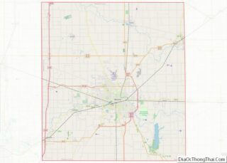
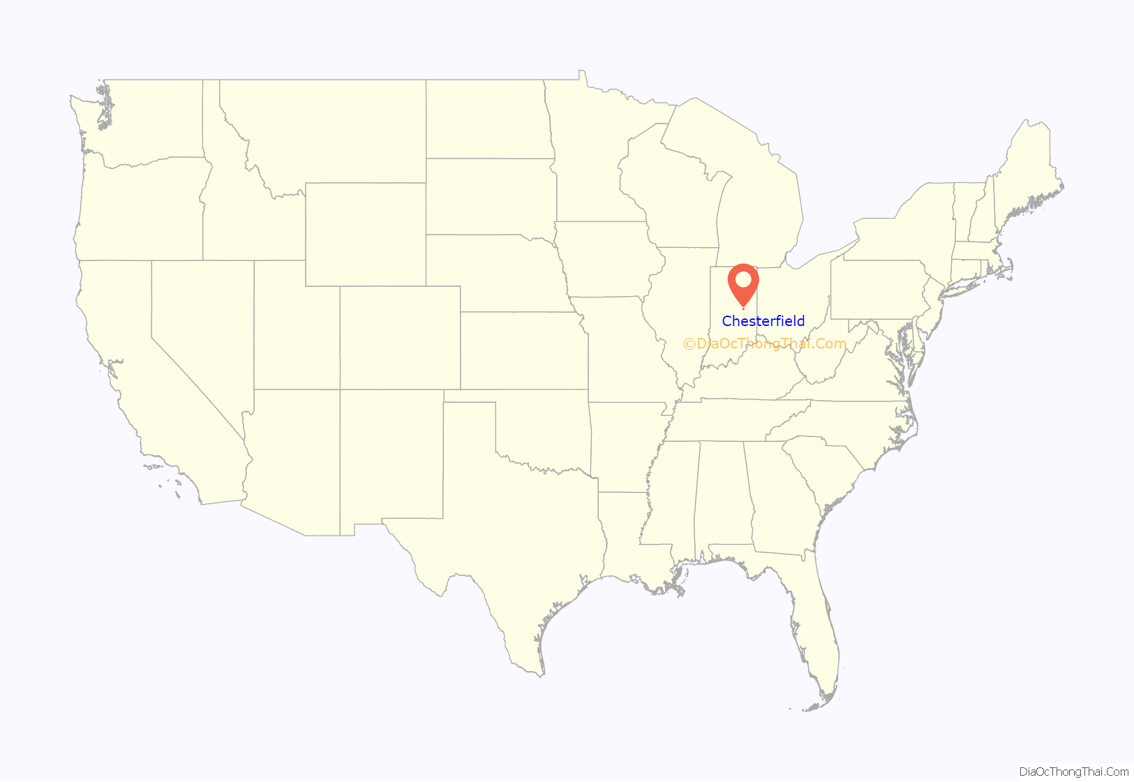
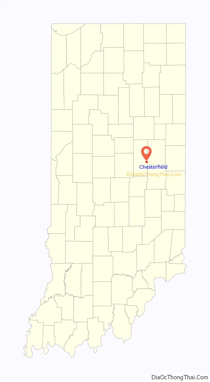
Chesterfield location map. Where is Chesterfield town?
History
Chesterfield was originally named “West Union”. It was renamed Chesterfield in 1834.
The Chesterfield Spiritualist Camp District and George Makepeace House are listed in the National Register of Historic Places.
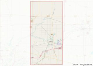
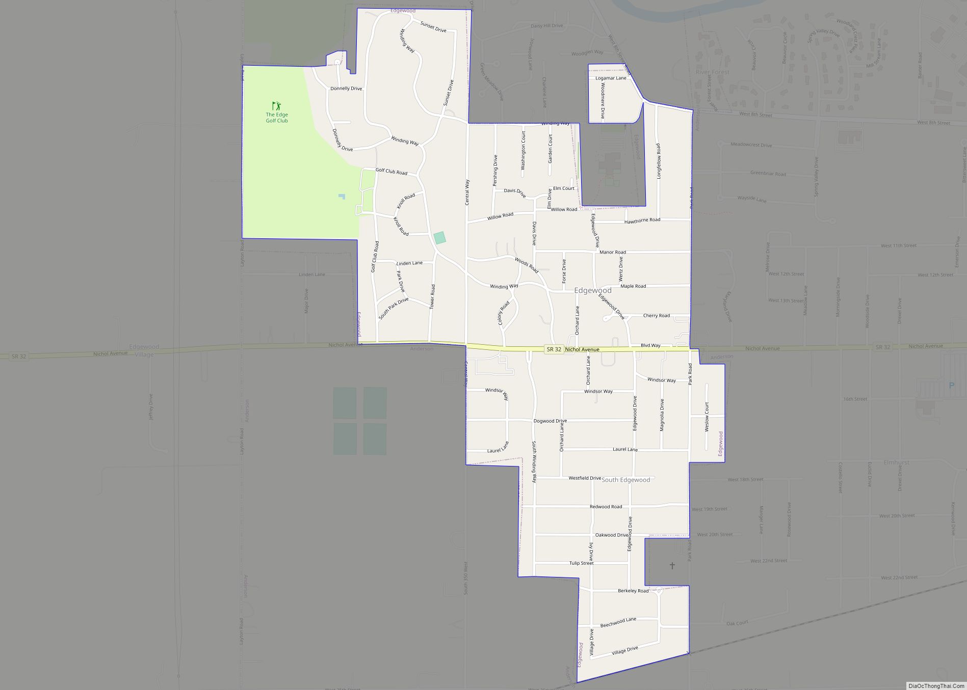
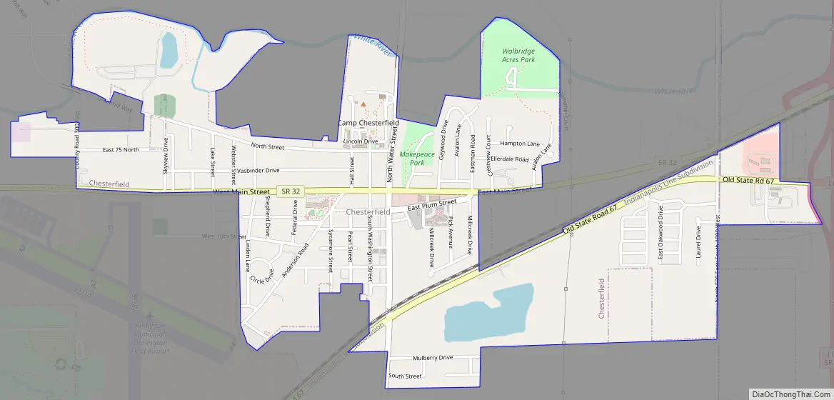
Chesterfield Road Map
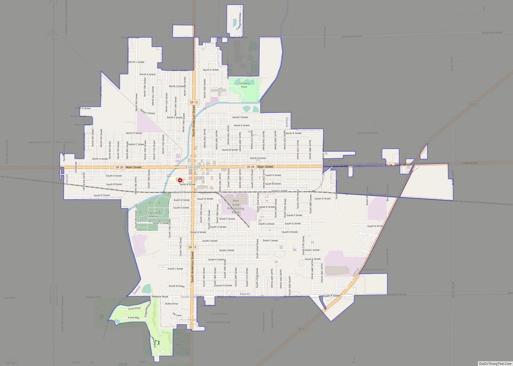
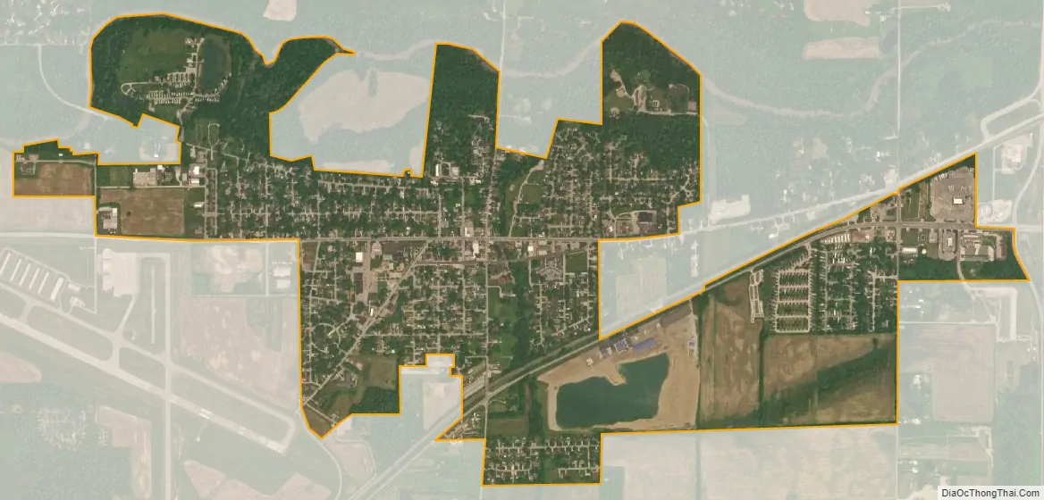
Chesterfield city Satellite Map
Geography
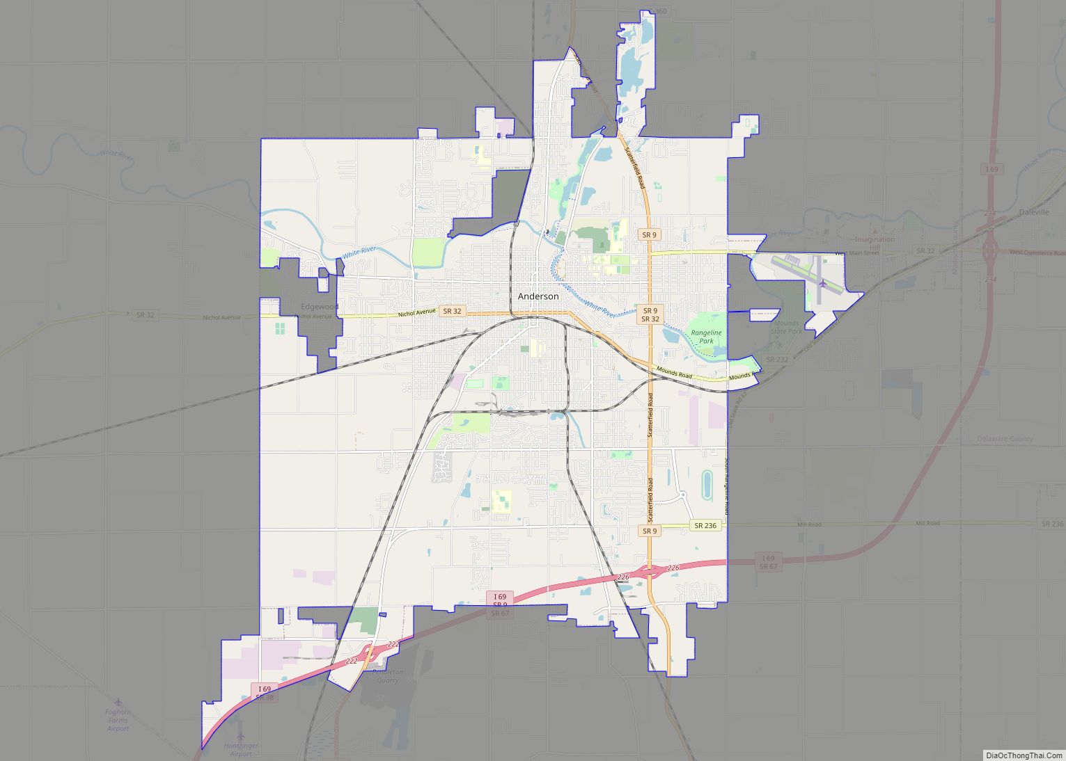
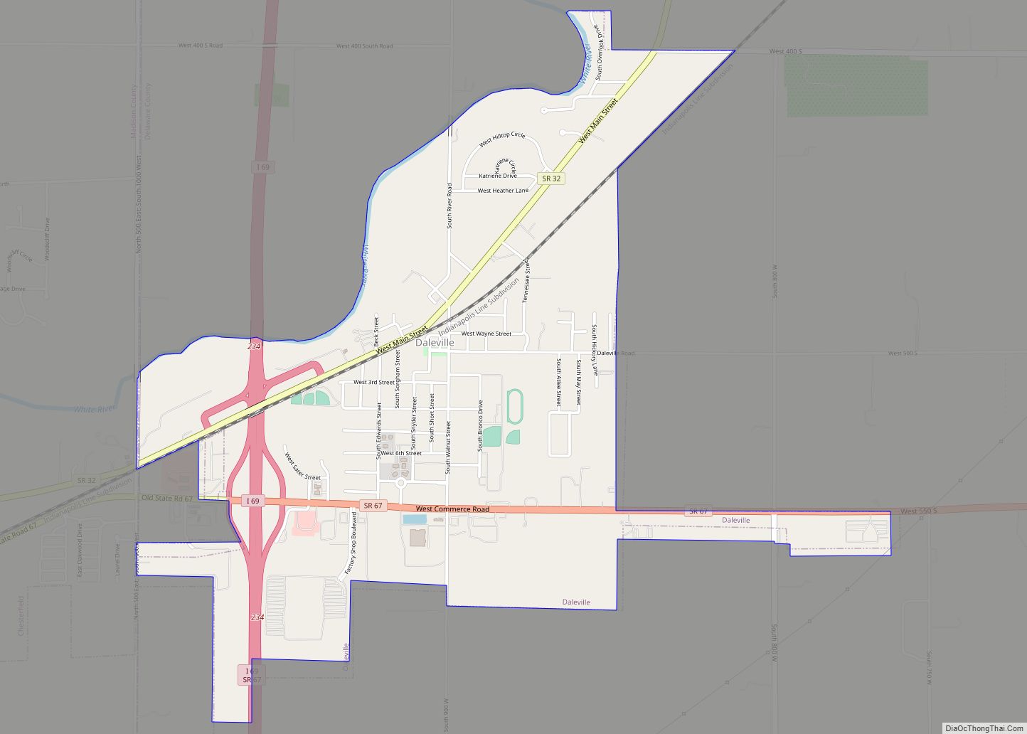
Chesterfield is located in eastern Madison County at 40°6′44″N 85°35′47″W / 40.11222°N 85.59639°W / 40.11222; -85.59639 (40.112193, -85.596324), with a small portion extending east into southwestern Delaware County. It is bordered to the west by the city of Anderson, the Madison county seat, and to the east by the town of Daleville.
Indiana State Road 32 passes through Chesterfield as it Main Street, leading west into Anderson and northeast through Daleville 13 miles (21 km) to Muncie. Interstate 69 passes just east of the Chesterfield town limits, with access from Exit 234 (SR 67). I-69 leads southwest 44 miles (71 km) to Indianapolis and north 76 miles (122 km) to Fort Wayne.
According to the U.S. Census Bureau, Chesterfield has a total area of 1.37 square miles (3.55 km), all land. The White River flows east to west along the northern border of the town.
See also
Map of Indiana State and its subdivision:- Adams
- Allen
- Bartholomew
- Benton
- Blackford
- Boone
- Brown
- Carroll
- Cass
- Clark
- Clay
- Clinton
- Crawford
- Daviess
- De Kalb
- Dearborn
- Decatur
- Delaware
- Dubois
- Elkhart
- Fayette
- Floyd
- Fountain
- Franklin
- Fulton
- Gibson
- Grant
- Greene
- Hamilton
- Hancock
- Harrison
- Hendricks
- Henry
- Howard
- Huntington
- Jackson
- Jasper
- Jay
- Jefferson
- Jennings
- Johnson
- Knox
- Kosciusko
- LaGrange
- Lake
- Lake Michigan
- LaPorte
- Lawrence
- Madison
- Marion
- Marshall
- Martin
- Miami
- Monroe
- Montgomery
- Morgan
- Newton
- Noble
- Ohio
- Orange
- Owen
- Parke
- Perry
- Pike
- Porter
- Posey
- Pulaski
- Putnam
- Randolph
- Ripley
- Rush
- Saint Joseph
- Scott
- Shelby
- Spencer
- Starke
- Steuben
- Sullivan
- Switzerland
- Tippecanoe
- Tipton
- Union
- Vanderburgh
- Vermillion
- Vigo
- Wabash
- Warren
- Warrick
- Washington
- Wayne
- Wells
- White
- Whitley
- Alabama
- Alaska
- Arizona
- Arkansas
- California
- Colorado
- Connecticut
- Delaware
- District of Columbia
- Florida
- Georgia
- Hawaii
- Idaho
- Illinois
- Indiana
- Iowa
- Kansas
- Kentucky
- Louisiana
- Maine
- Maryland
- Massachusetts
- Michigan
- Minnesota
- Mississippi
- Missouri
- Montana
- Nebraska
- Nevada
- New Hampshire
- New Jersey
- New Mexico
- New York
- North Carolina
- North Dakota
- Ohio
- Oklahoma
- Oregon
- Pennsylvania
- Rhode Island
- South Carolina
- South Dakota
- Tennessee
- Texas
- Utah
- Vermont
- Virginia
- Washington
- West Virginia
- Wisconsin
- Wyoming