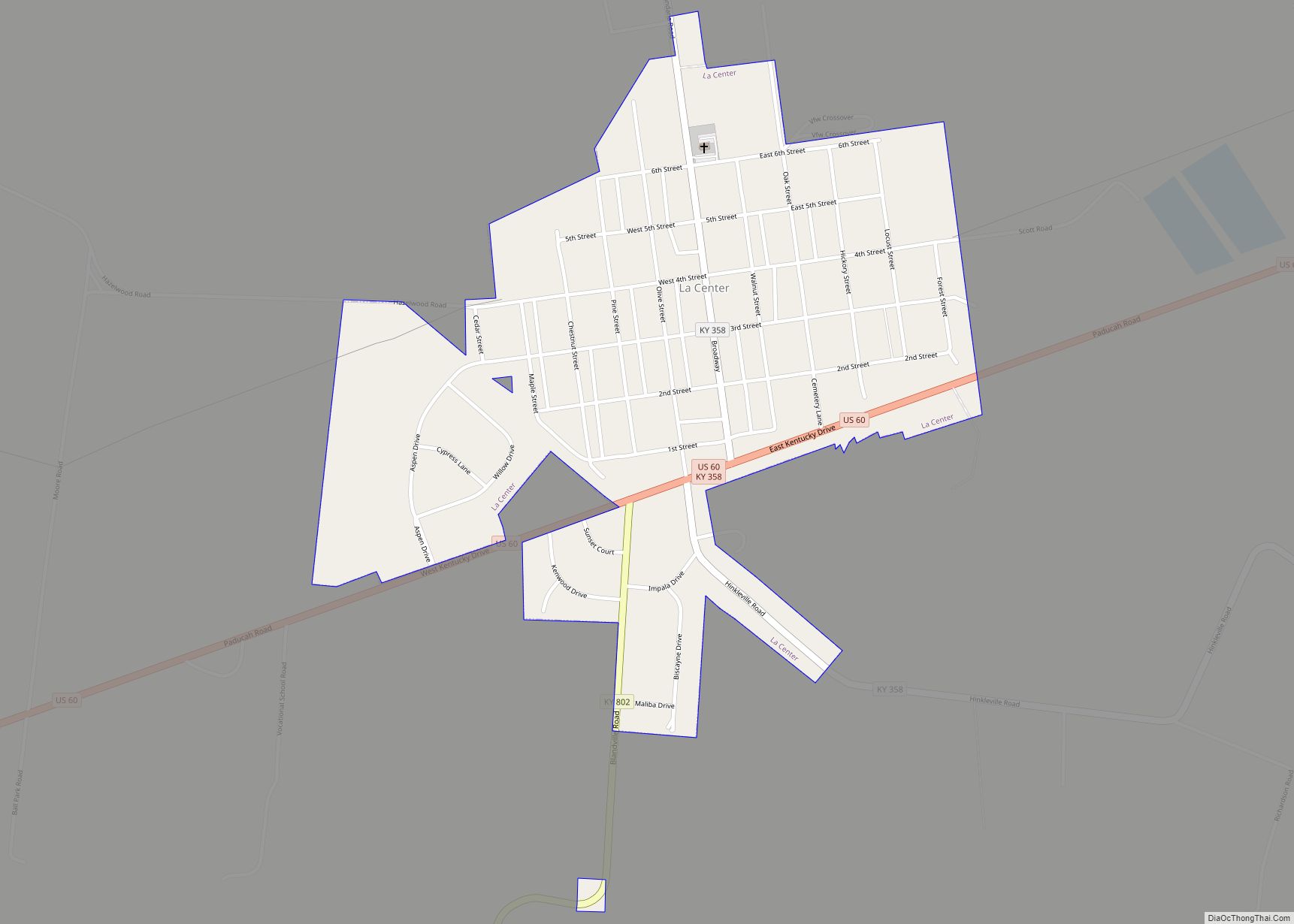
La Center city overview: Name: La Center city LSAD Code: 25 LSAD Description: city (suffix) State: Kentucky County: Ballard County FIPS code: 2143336 Online Interactive Map La Center online map. Source: Basemap layers from Google Map, Open Street Map (OSM), Arcgisonline, Wmflabs. Boundary Data from Database of Global Administrative Areas. La Center location map. Where ... Read more
Kentucky Cities and Places
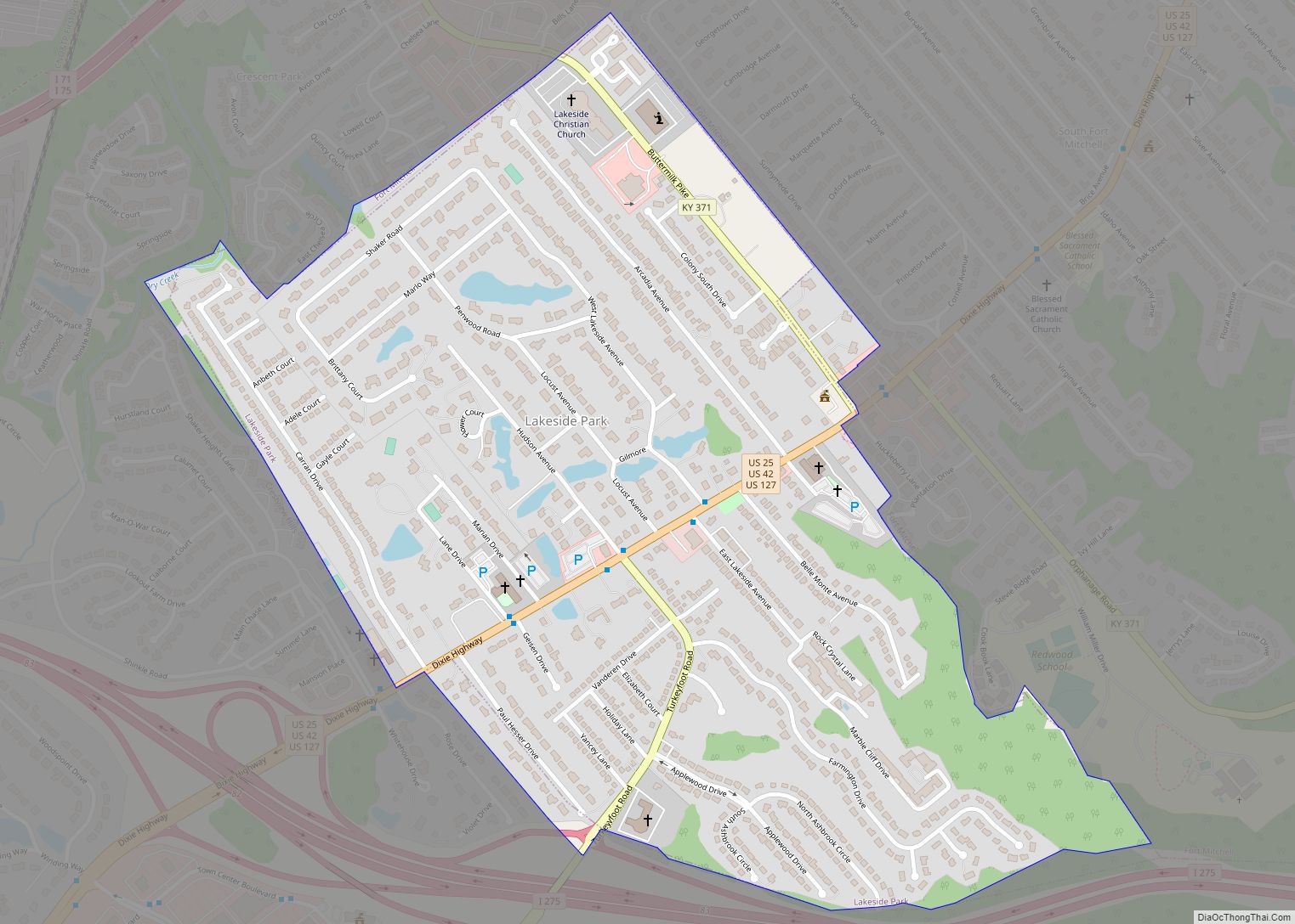
Lakeside Park is a home rule-class city in Kenton County, Kentucky, United States. As of the 2020 census, the city had a total population of 2,841. It is a suburb in the Cincinnati metropolitan area. Lakeside Park city overview: Name: Lakeside Park city LSAD Code: 25 LSAD Description: city (suffix) State: Kentucky County: Kenton County ... Read more
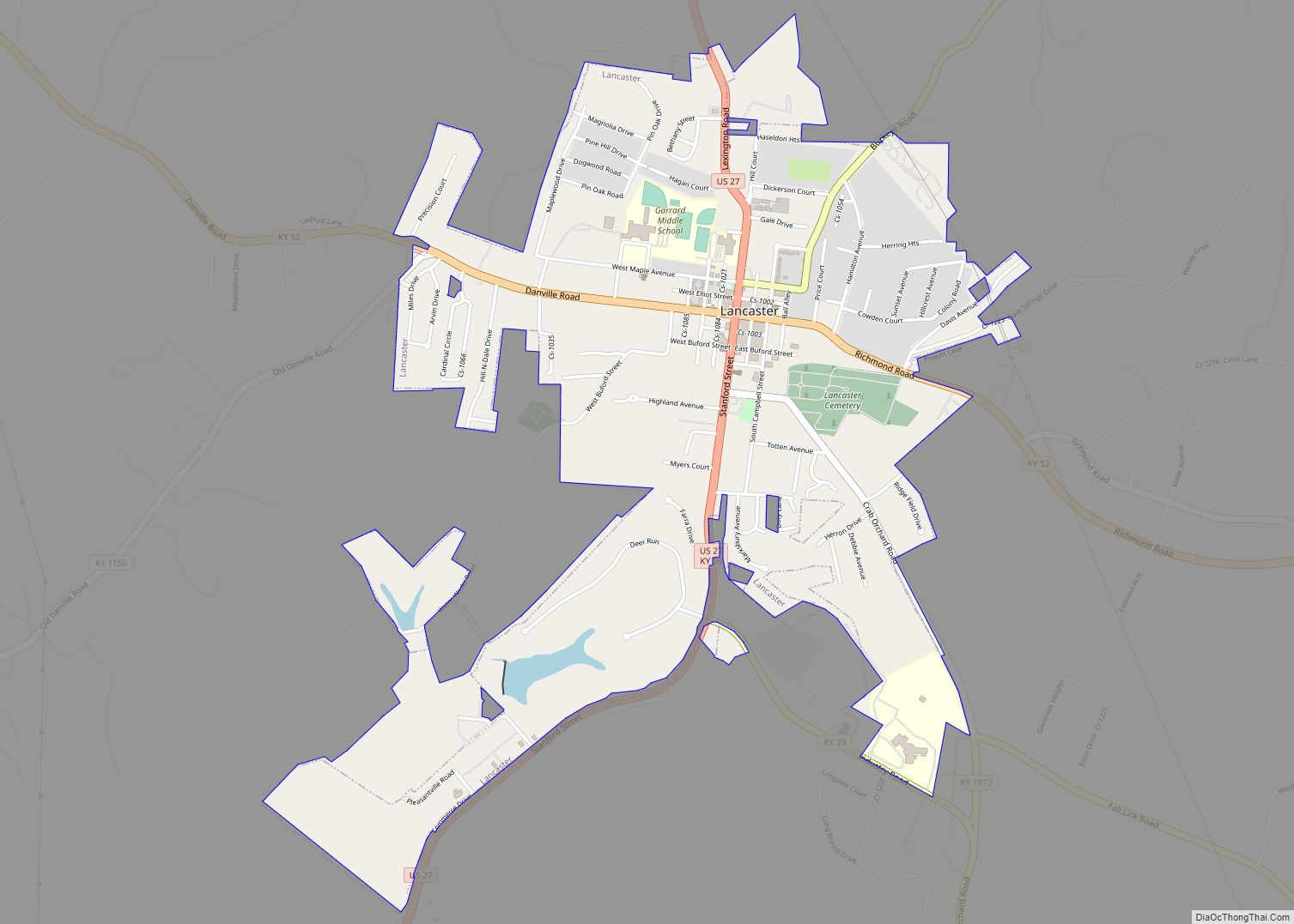
Lancaster locally /ˈlæŋkəstər/ is a home rule-class city in Garrard County, Kentucky, in the United States. It is the seat of its county. As of the year 2010 U.S. census, the city population was 3,442. Located south of Lexington, Lancaster is the site of the Kennedy House, sometimes said to have been the setting for ... Read more
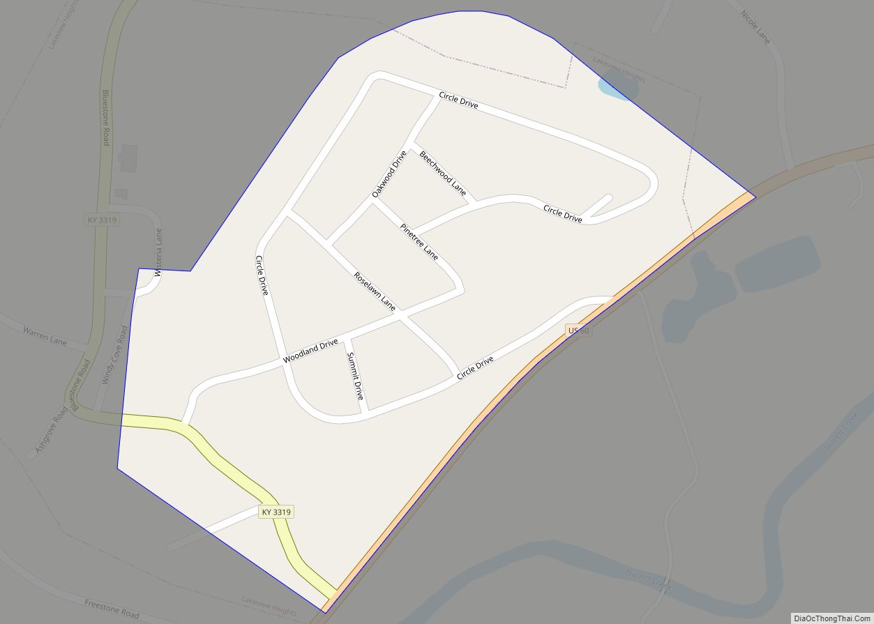
Lakeview Heights is a home rule-class city in Rowan County, Kentucky, in the United States. The population was 251 as of the year 2000 U.S. census. Lakeview Heights city overview: Name: Lakeview Heights city LSAD Code: 25 LSAD Description: city (suffix) State: Kentucky County: Rowan County Incorporated: November 20, 1979 Elevation: 804 ft (245 m) Total Area: ... Read more
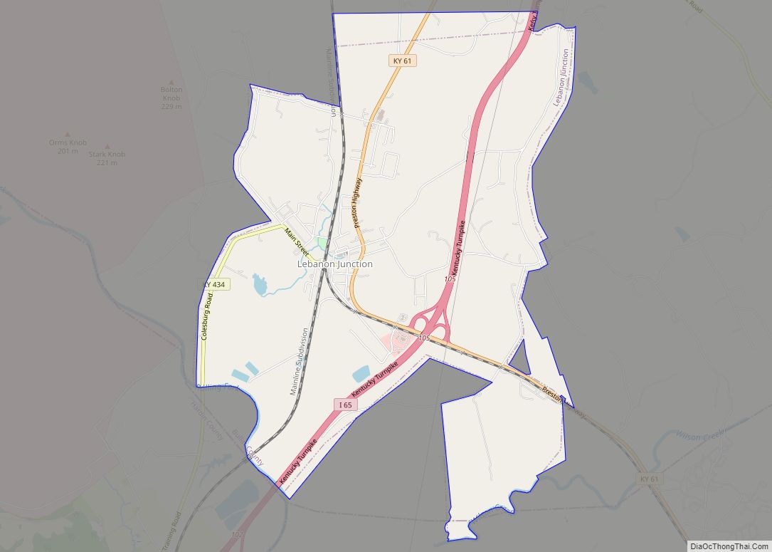
Lebanon Junction is a home rule-class city in Bullitt County, Kentucky, in the United States. The population was 1,813 as of the 2010 census. Lebanon Junction city overview: Name: Lebanon Junction city LSAD Code: 25 LSAD Description: city (suffix) State: Kentucky County: Bullitt County Incorporated: 1895 Elevation: 459 ft (140 m) Total Area: 5.74 sq mi (14.87 km²) Land Area: ... Read more
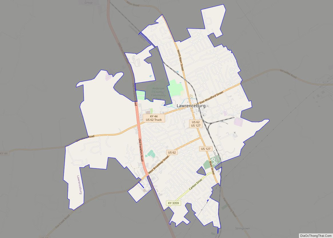
Lawrenceburg is a home rule-class city in Anderson County, Kentucky, United States. The population was 10,505 at the 2010 census. It is the seat of its county. Lawrenceburg is part of the Frankfort, Kentucky, micropolitan statistical area. Lawrenceburg city overview: Name: Lawrenceburg city LSAD Code: 25 LSAD Description: city (suffix) State: Kentucky County: Anderson County ... Read more
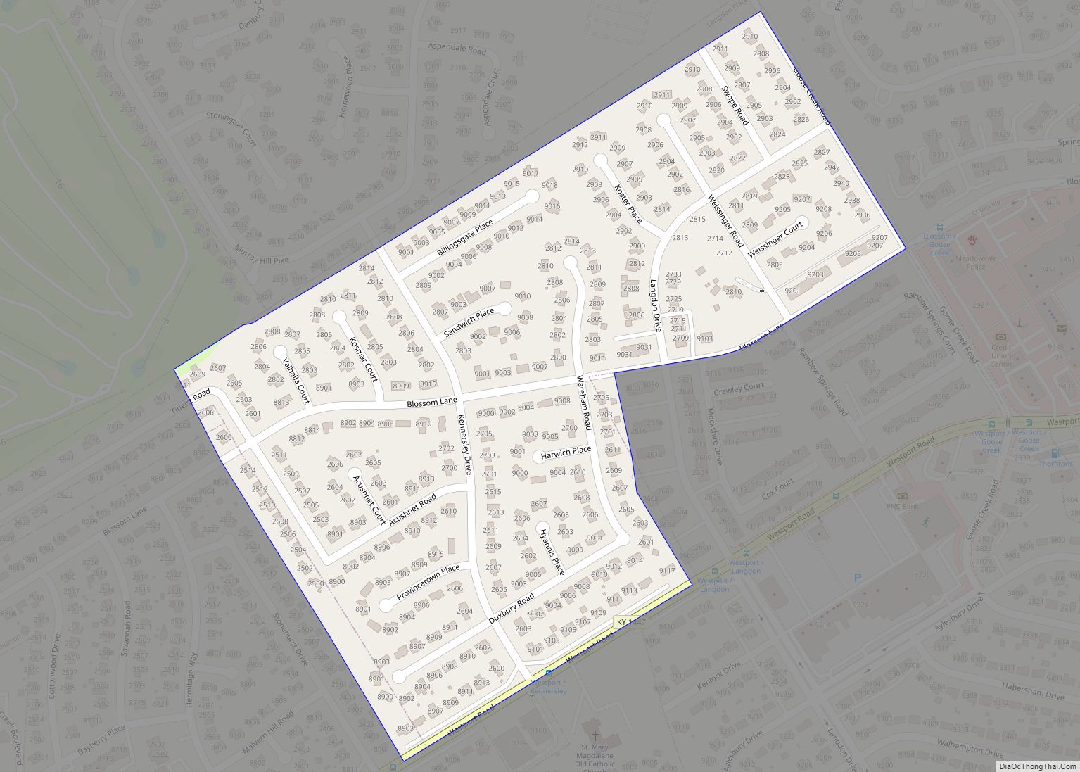
Langdon Place is a home rule-class city in Jefferson County, Kentucky, United States. The population was 936 as of the 2010 census. Langdon Place city overview: Name: Langdon Place city LSAD Code: 25 LSAD Description: city (suffix) State: Kentucky County: Jefferson County Incorporated: 1977 Elevation: 666 ft (203 m) Total Area: 0.17 sq mi (0.44 km²) Land Area: 0.17 sq mi (0.44 km²) ... Read more
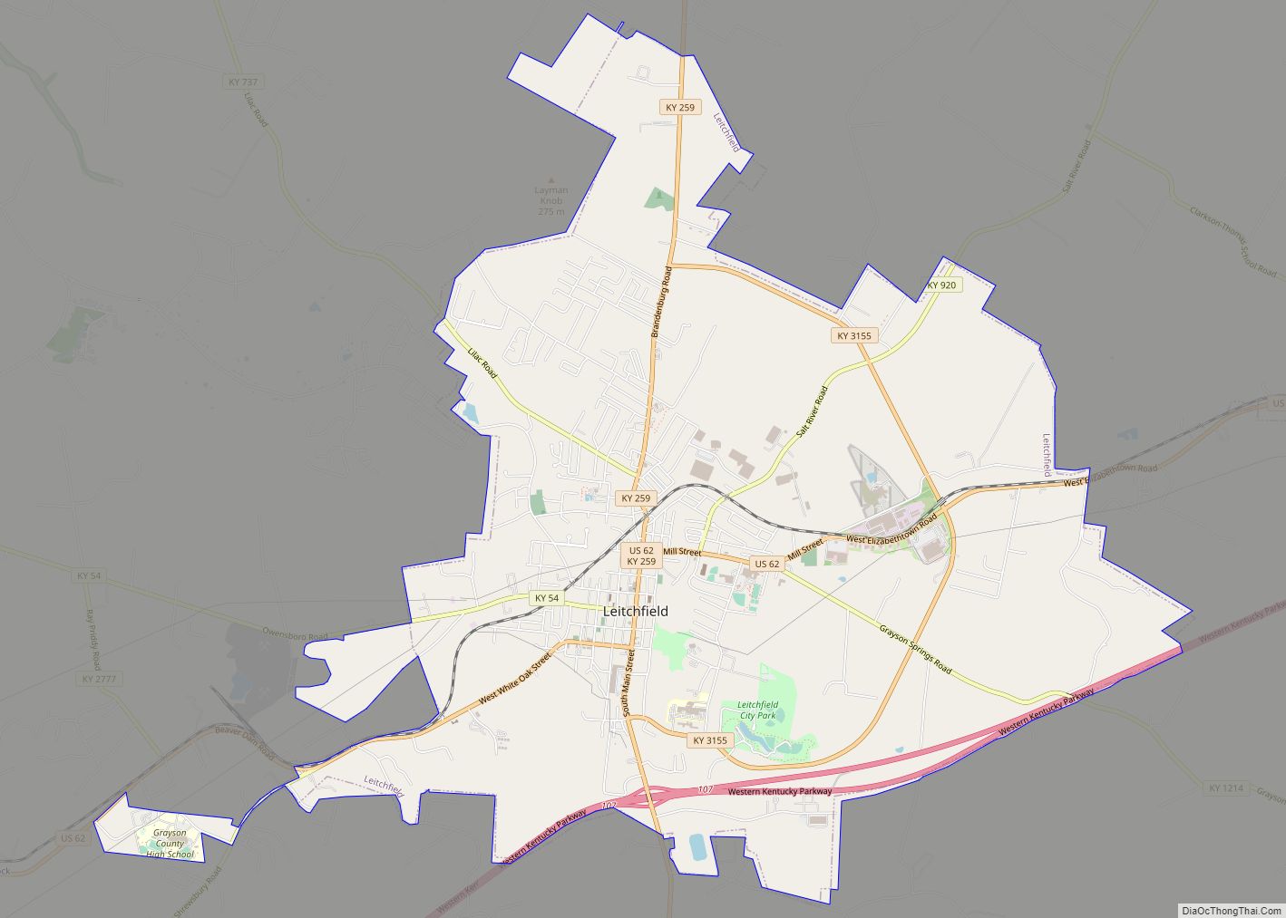
Leitchfield is the county seat of Grayson County, Kentucky, United States. Leitchfield is a home rule-class city with a population of 6,404 as of the 2020 census. Leitchfield city overview: Name: Leitchfield city LSAD Code: 25 LSAD Description: city (suffix) State: Kentucky County: Grayson County Incorporated: 1866 Elevation: 745 ft (227 m) Total Area: 10.79 sq mi (27.96 km²) Land ... Read more
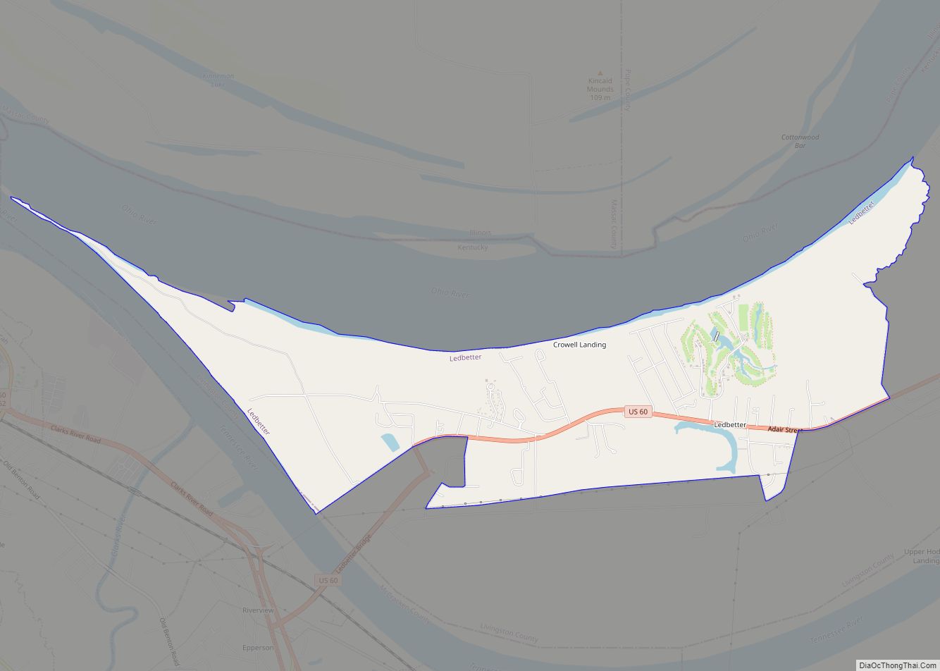
Ledbetter is a census-designated place (CDP) in Livingston County, Kentucky, United States. The population was 1,683 at the 2010 census, down slightly from 1,700 in 2000, thus making it the most populous community as well as the largest community in Livingston County. It is part of the Paducah, KY-IL Micropolitan Statistical Area, laying directly across ... Read more
Lebanon is a home rule-class city and the county seat of Marion County, Kentucky, in the United States. The population was 6,274 at the 2020 census, up from 5,539 in 2010. Lebanon is located in central Kentucky, 63 miles (101 km) southeast of Louisville. A national cemetery is nearby. Lebanon city overview: Name: Lebanon city LSAD ... Read more
Liberty is a home rule-class city in Casey County, Kentucky, in the United States. It is the seat of its county. Its population was 2,168 at the 2010 U.S. census. Liberty city overview: Name: Liberty city LSAD Code: 25 LSAD Description: city (suffix) State: Kentucky County: Casey County Incorporated: 1860 Elevation: 810 ft (250 m) Total Area: ... Read more
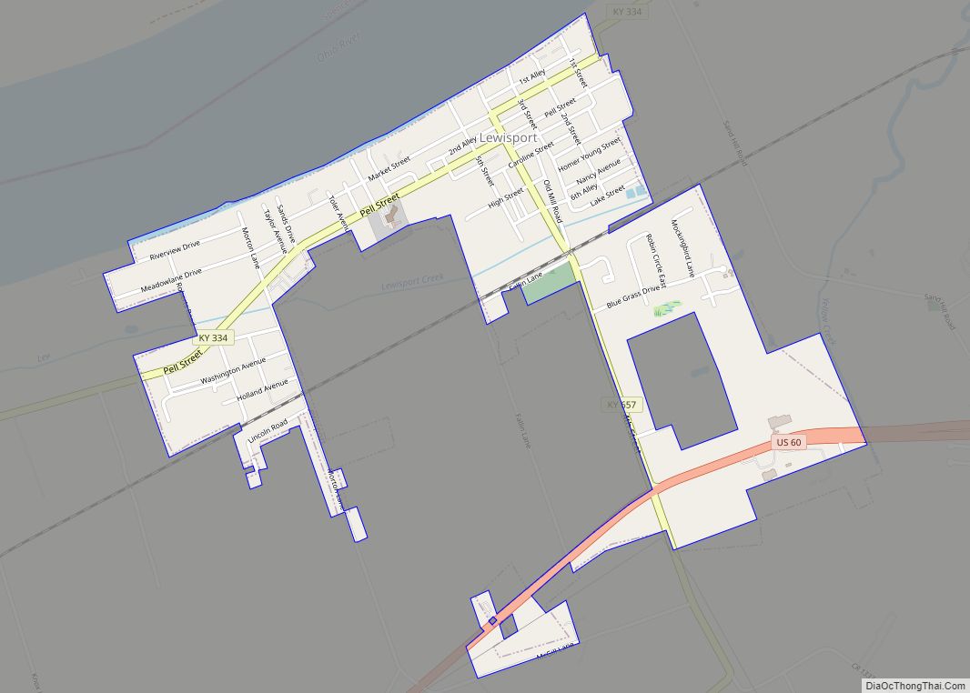
Lewisport is a home rule-class city in the floodplain of the Ohio River in Hancock County, Kentucky, in the United States. The population was 1,670 at the 2010 census, and is also the most populous community in the county. It is included in the Owensboro metropolitan area. Lewisport city overview: Name: Lewisport city LSAD Code: ... Read more
