Buffalo is an unincorporated community and census-designated place (CDP) in southern LaRue County, Kentucky, United States. Its population was 498 as of the 2010 census. It lies along Kentucky Route 61 south of the city of Hodgenville, the county seat of LaRue County. Its elevation is 748 feet (228 m), and it is located at 37°30′43″N 85°41′55″W ... Read more
Kentucky Cities and Places
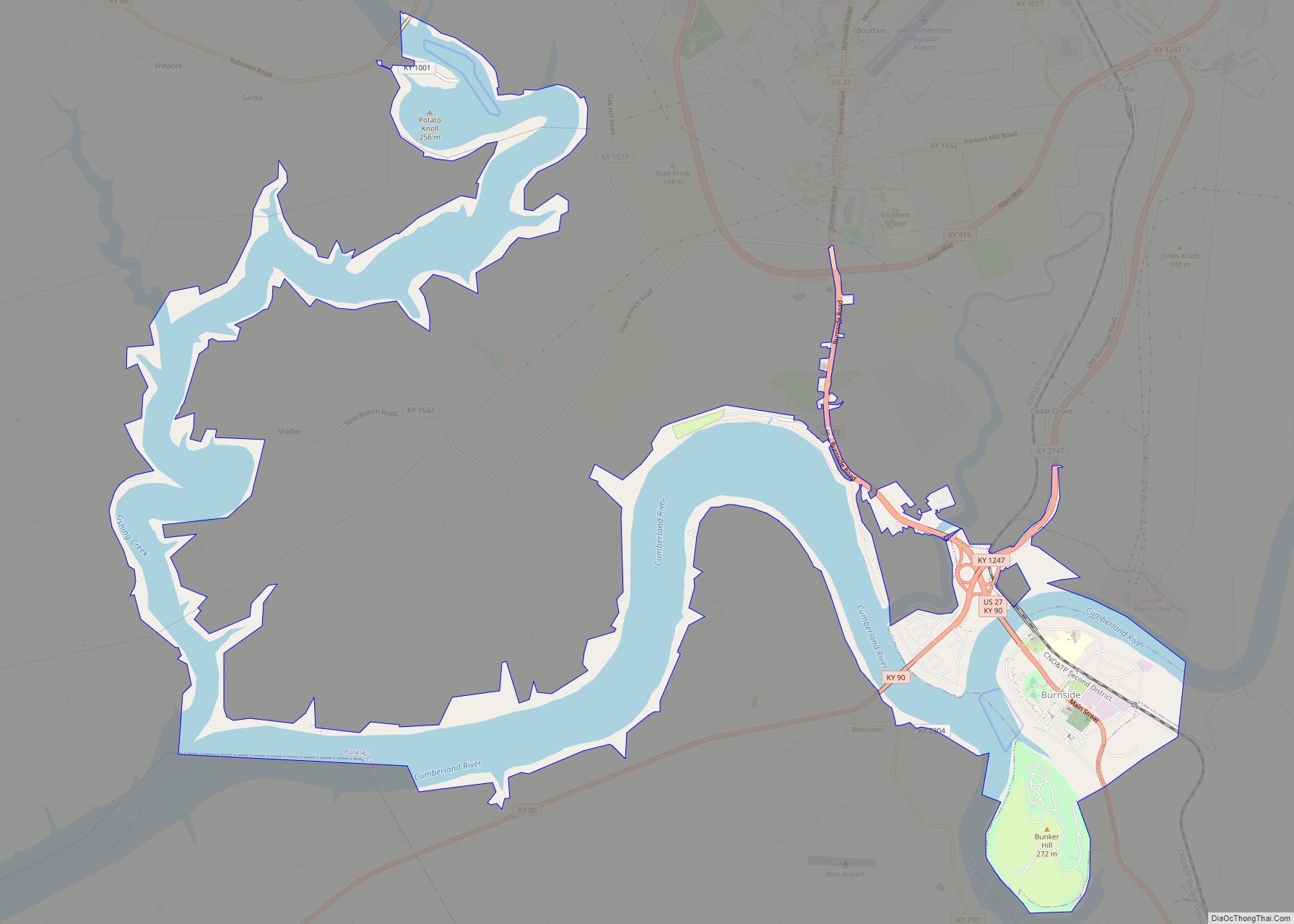
Burnside is a home rule-class city in Pulaski County, Kentucky, in the United States. The population was 611 at the 2010 census. In 2004, Burnside became the only town in Pulaski County or any adjoining county to allow the sale of alcoholic beverages in qualified establishments. Since then, Burnside has annexed about eight miles of ... Read more
Burna is an unincorporated community and census-designated place (CDP) in central Livingston County, Kentucky, United States. As of the 2010 census the population was 257. It is home to the North Livingston Elementary School and Livingston County Middle School. The name was decided upon by a contest. A young girl named Burna was selected as ... Read more
Burlington is a census-designated place (CDP) in and the county seat of Boone County, Kentucky, United States. The population was 17,318 at the 2020 census. Burlington CDP overview: Name: Burlington CDP LSAD Code: 57 LSAD Description: CDP (suffix) State: Kentucky County: Boone County Elevation: 840 ft (256 m) Total Area: 8.81 sq mi (22.83 km²) Land Area: 8.81 sq mi (22.83 km²) Water ... Read more
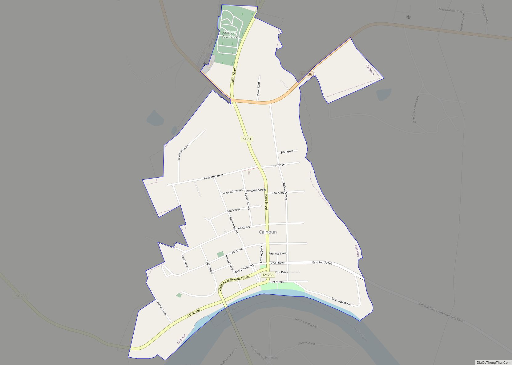
Calhoun is a home rule-class city in McLean County, Kentucky, United States. The population was 725 at the 2020 census. It is the county seat of McLean County. It is included in the Owensboro, Kentucky Metropolitan Statistical Area. Calhoun city overview: Name: Calhoun city LSAD Code: 25 LSAD Description: city (suffix) State: Kentucky County: McLean ... Read more
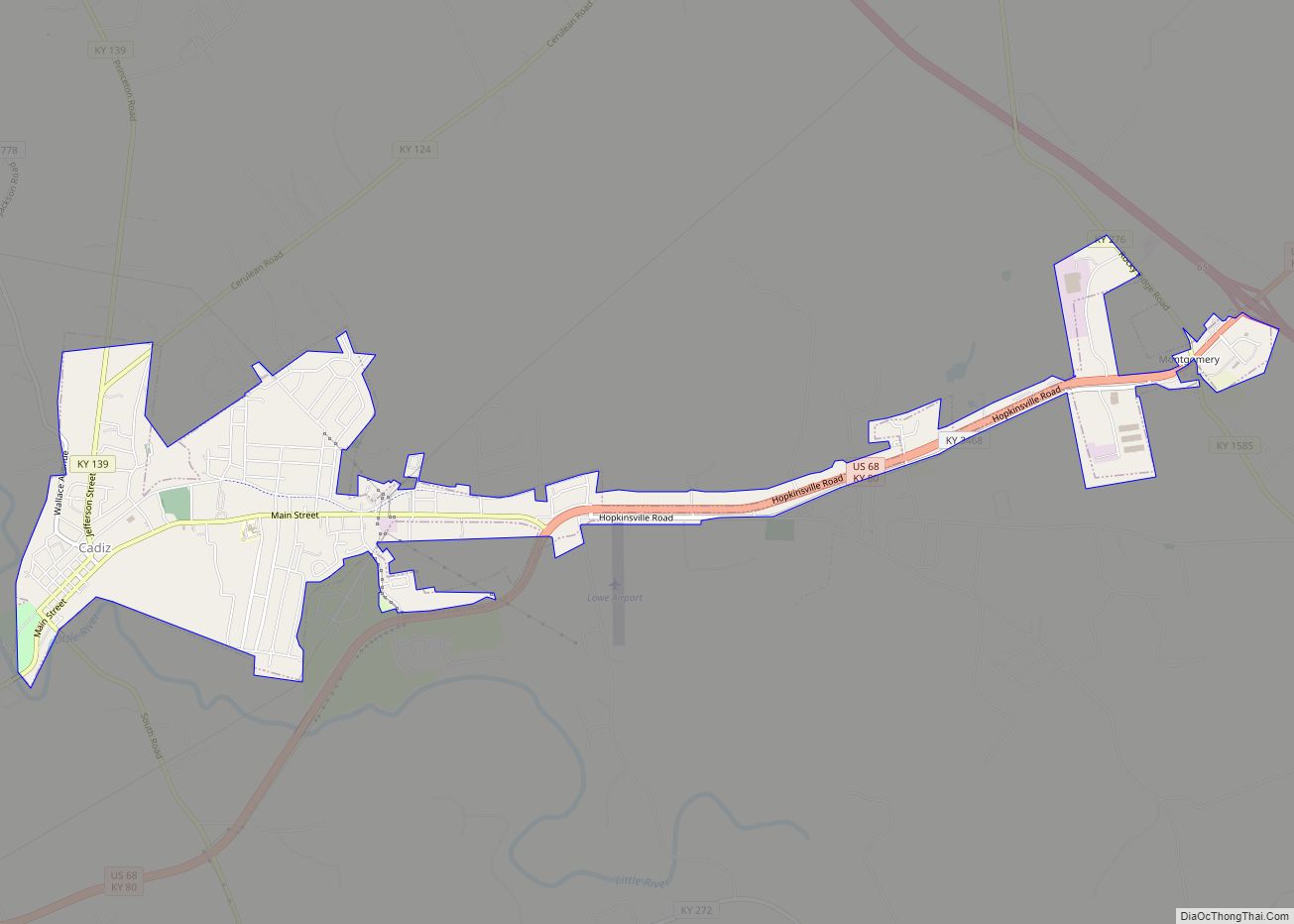
Cadiz (locally /ˈkeɪdiːz, -dɪz/ (listen) KAY-deez, -diz) is a home rule-class city and the county seat of Trigg County, Kentucky, United States. The population was 2,540 at the 2020 census. It is part of the Clarksville metropolitan area. Cadiz is a historic town located close to Lake Barkley east of the Land Between the Lakes ... Read more
Butler is a home rule-class city in Pendleton County, Kentucky, in the United States. The population was 612 at the 2010 census. Butler city overview: Name: Butler city LSAD Code: 25 LSAD Description: city (suffix) State: Kentucky County: Pendleton County Elevation: 545 ft (166 m) Total Area: 0.21 sq mi (0.53 km²) Land Area: 0.19 sq mi (0.49 km²) Water Area: 0.01 sq mi (0.04 km²) ... Read more
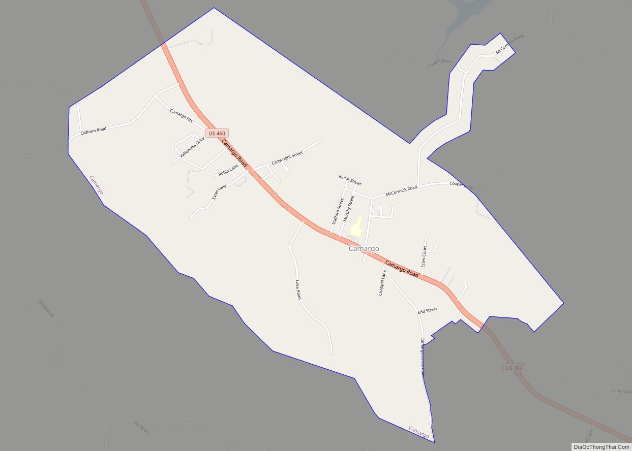
Camargo is a home rule-class city in Montgomery County, Kentucky, in the United States. The population was 1,020 at the 2020 census. It is part of the Mount Sterling Micropolitan Statistical Area. The town was named by soldiers returning from the Mexican–American War, either in honor of Camargo in Mexico or a Mexican entertainer of ... Read more
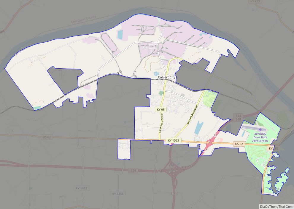
Calvert City is a home rule-class city in Marshall County, Kentucky, United States. The population was 2,514 at the 2020 census. Calvert City city overview: Name: Calvert City city LSAD Code: 25 LSAD Description: city (suffix) State: Kentucky County: Marshall County Elevation: 381 ft (116 m) Total Area: 18.51 sq mi (47.94 km²) Land Area: 17.88 sq mi (46.30 km²) Water Area: 0.63 sq mi ... Read more
California is a home rule-class city in Campbell County, Kentucky, United States. The population was 90 at the 2010 census. California city overview: Name: California city LSAD Code: 25 LSAD Description: city (suffix) State: Kentucky County: Campbell County Elevation: 482 ft (147 m) Total Area: 0.22 sq mi (0.57 km²) Land Area: 0.22 sq mi (0.57 km²) Water Area: 0.00 sq mi (0.00 km²) Total Population: ... Read more
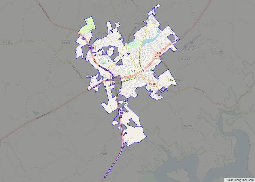
Campbellsville is a city in central Kentucky founded in 1817 by Andrew Campbell. It is known for Campbellsville University, Taylor Regional Hospital health care system, its historic downtown, and the proximity to Green River Lake State Park. Campbellsville is the county seat of Taylor County, with a geographic boundary shaped like a heart. Campbellsville celebrated ... Read more
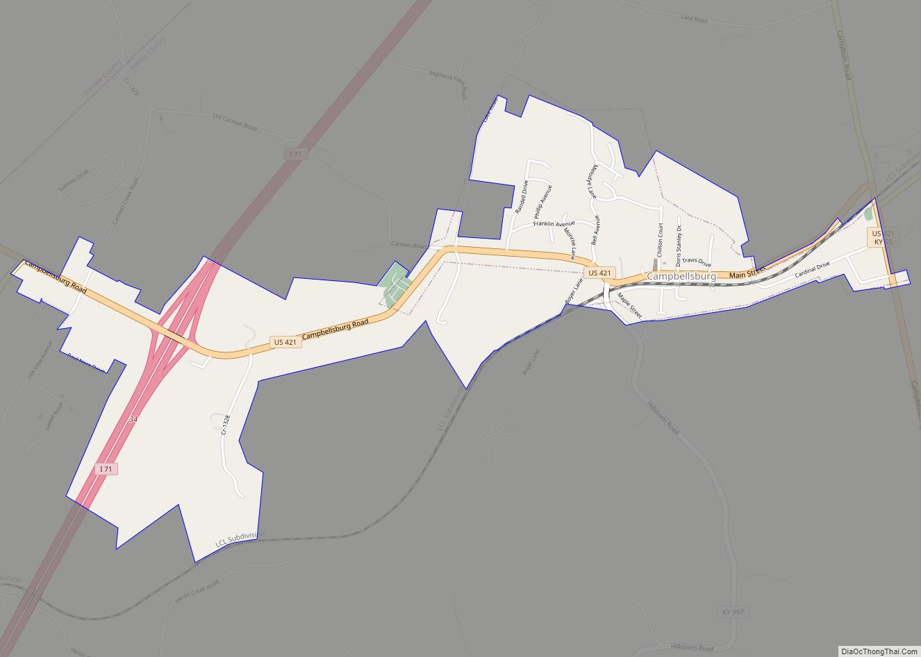
Campbellsburg is a home rule-class city in Henry County, Kentucky, in the United States. The population was 813 at the 2010 census, up from 705 at the 2000 census. It is home to Post 5 of the Kentucky State Police. The city was incorporated by the state legislature in 1840 as “Chiltonsville”, in honor of ... Read more

