Burlington is a census-designated place (CDP) in and the county seat of Boone County, Kentucky, United States. The population was 17,318 at the 2020 census.
| Name: | Burlington CDP |
|---|---|
| LSAD Code: | 57 |
| LSAD Description: | CDP (suffix) |
| State: | Kentucky |
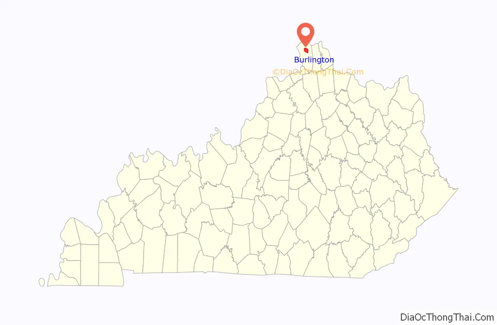
| County: | Boone County |
| Elevation: | 840 ft (256 m) |
| Total Area: | 8.81 sq mi (22.83 km²) |
| Land Area: | 8.81 sq mi (22.83 km²) |
| Water Area: | 0.00 sq mi (0.00 km²) |
| Total Population: | 17,318 |
| Population Density: | 1,965.05/sq mi (758.68/km²) |
| ZIP code: | 41005 |
| Area code: | 859 |
| FIPS code: | 2111170 |
| GNISfeature ID: | 0488440 |
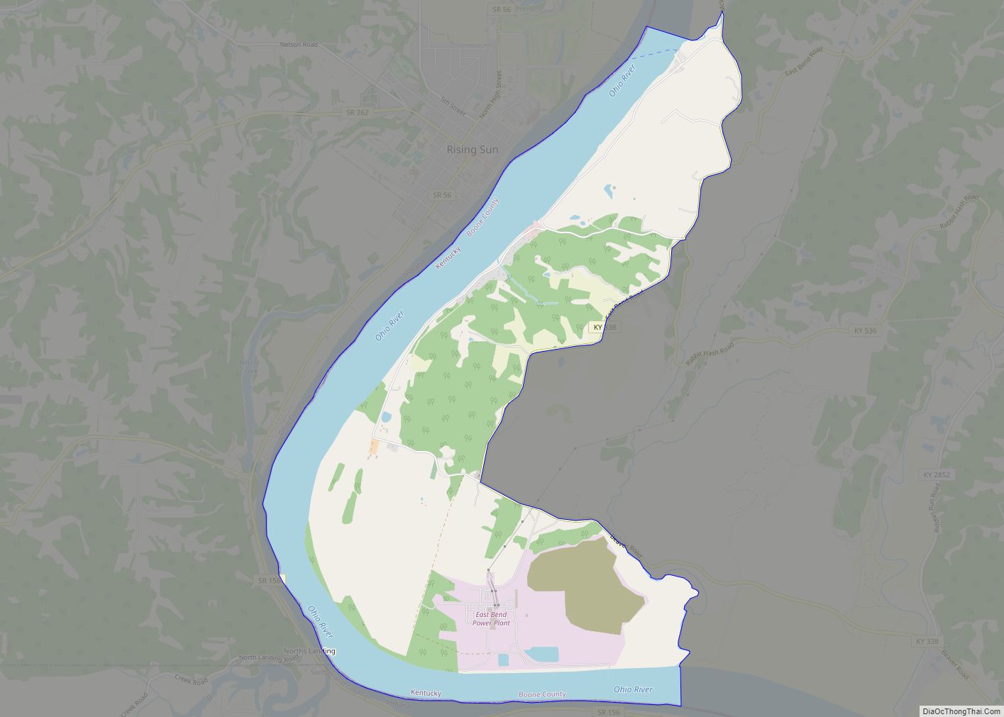
Online Interactive Map
Click on ![]() to view map in "full screen" mode.
to view map in "full screen" mode.
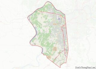
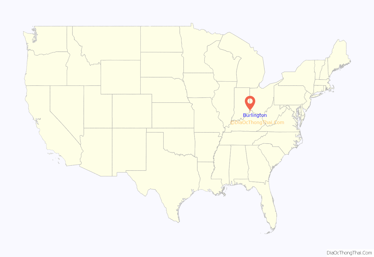
Burlington location map. Where is Burlington CDP?
History
Burlington was incorporated in 1824. However, today Burlington is unincorporated due to the annulment of the city charter in 1923. It is one of the two county seats in Kentucky that are unincorporated.
The county seat of Boone County, Burlington, was initially established on 74 acres, donated by John Craig and Robert Johnson, at the headwaters of the Allen’s Fork. It went through various name changes, originally known as Craig’s Camp after John Craig, then renamed Wilmington in 1800, and is now known as Burlington, a function of the request of the U.S. Post Office in 1816. Court was initially held in a log courthouse built in 1801, the same year the town was platted. In the initial layout of the town, the streets circled the central “Publick Square.” It was this original town plan and square, designed by county surveyor Moses Scott, that would later contribute to the listing of Burlington as a historic district on the National Register of Historic Places. The Burlington Historic District was added to the National Register of Historic Places in 1979.
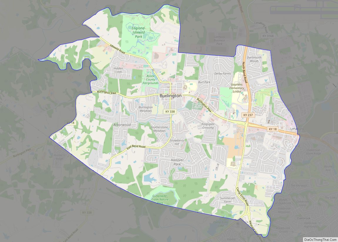
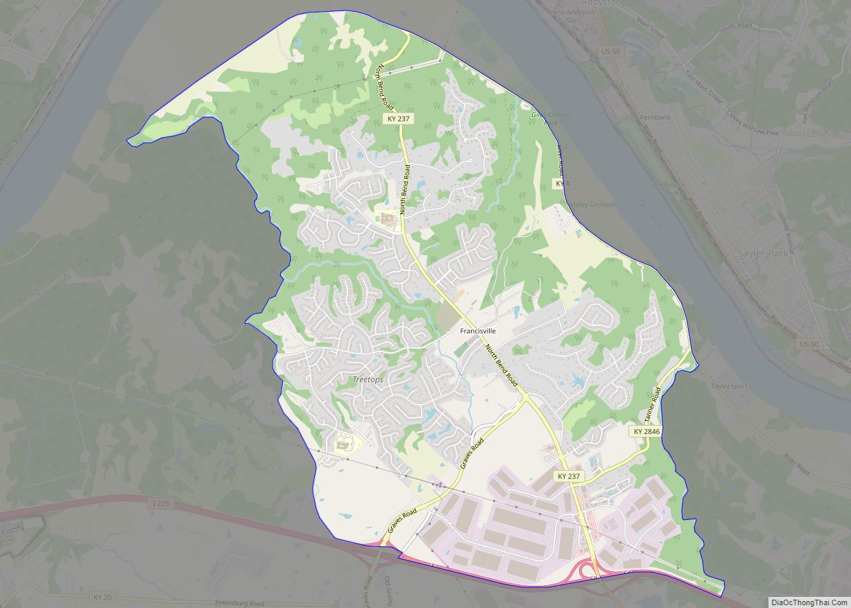
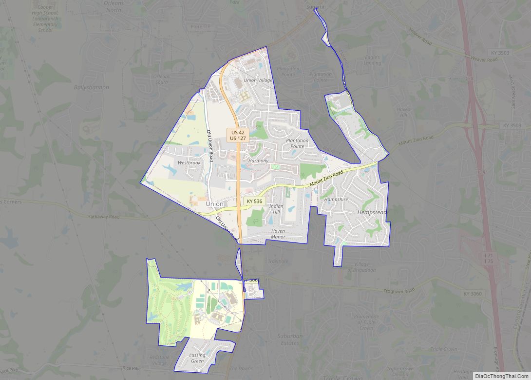
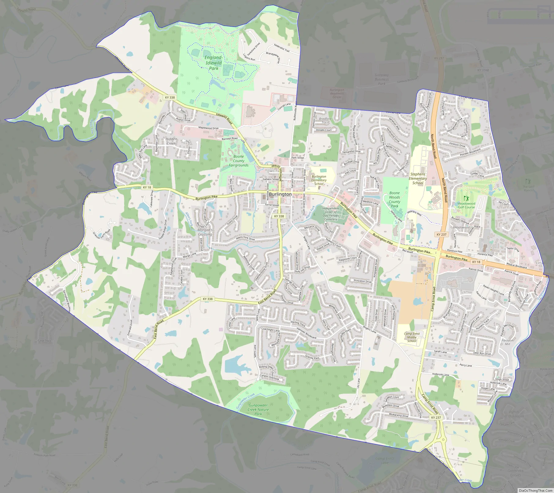
Burlington Road Map
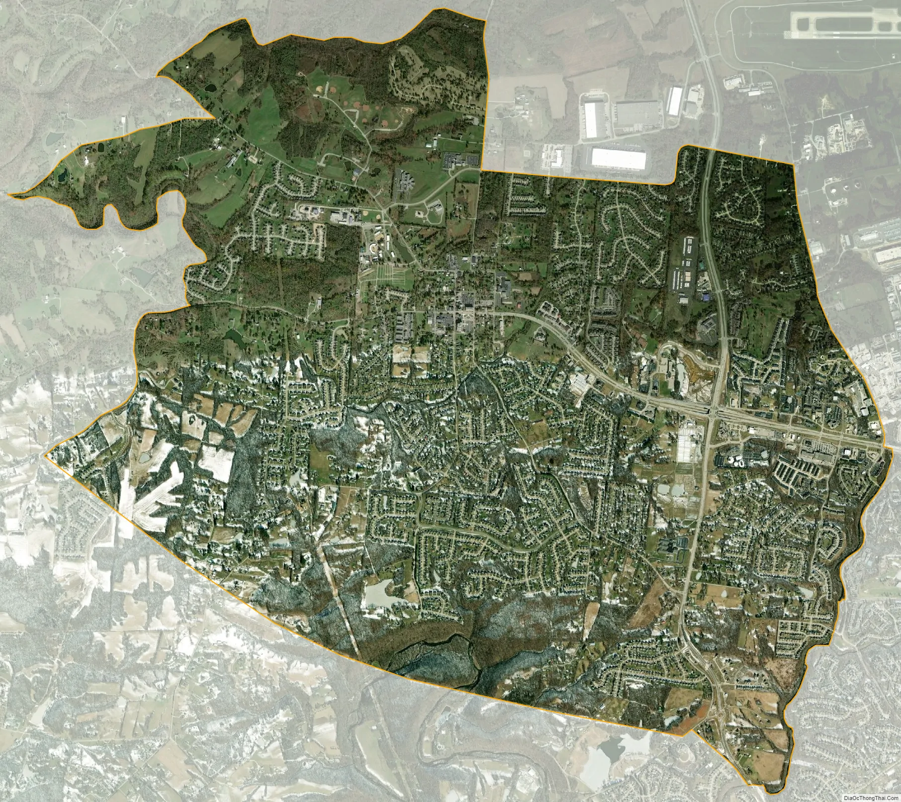
Burlington city Satellite Map
Geography
Burlington is located in north-central Boone County. Kentucky Route 18 (Burlington Pike) runs through the center of the CDP, leading east 6 miles (10 km) to Florence and west 7 miles (11 km) to the Ohio River at Belleview. Downtown Cincinnati is 16 miles (26 km) to the northeast, and Cincinnati/Northern Kentucky International Airport is directly to the northeast of Burlington.
According to the United States Census Bureau, Burlington has a total area of 8.8 square miles (22.9 km), all land.
See also
Map of Kentucky State and its subdivision:- Adair
- Allen
- Anderson
- Ballard
- Barren
- Bath
- Bell
- Boone
- Bourbon
- Boyd
- Boyle
- Bracken
- Breathitt
- Breckinridge
- Bullitt
- Butler
- Caldwell
- Calloway
- Campbell
- Carlisle
- Carroll
- Carter
- Casey
- Christian
- Clark
- Clay
- Clinton
- Crittenden
- Cumberland
- Daviess
- Edmonson
- Elliott
- Estill
- Fayette
- Fleming
- Floyd
- Franklin
- Fulton
- Gallatin
- Garrard
- Grant
- Graves
- Grayson
- Green
- Greenup
- Hancock
- Hardin
- Harlan
- Harrison
- Hart
- Henderson
- Henry
- Hickman
- Hopkins
- Jackson
- Jefferson
- Jessamine
- Johnson
- Kenton
- Knott
- Knox
- Larue
- Laurel
- Lawrence
- Lee
- Leslie
- Letcher
- Lewis
- Lincoln
- Livingston
- Logan
- Lyon
- Madison
- Magoffin
- Marion
- Marshall
- Martin
- Mason
- McCracken
- McCreary
- McLean
- Meade
- Menifee
- Mercer
- Metcalfe
- Monroe
- Montgomery
- Morgan
- Muhlenberg
- Nelson
- Nicholas
- Ohio
- Oldham
- Owen
- Owsley
- Pendleton
- Perry
- Pike
- Powell
- Pulaski
- Robertson
- Rockcastle
- Rowan
- Russell
- Scott
- Shelby
- Simpson
- Spencer
- Taylor
- Todd
- Trigg
- Trimble
- Union
- Warren
- Washington
- Wayne
- Webster
- Whitley
- Wolfe
- Woodford
- Alabama
- Alaska
- Arizona
- Arkansas
- California
- Colorado
- Connecticut
- Delaware
- District of Columbia
- Florida
- Georgia
- Hawaii
- Idaho
- Illinois
- Indiana
- Iowa
- Kansas
- Kentucky
- Louisiana
- Maine
- Maryland
- Massachusetts
- Michigan
- Minnesota
- Mississippi
- Missouri
- Montana
- Nebraska
- Nevada
- New Hampshire
- New Jersey
- New Mexico
- New York
- North Carolina
- North Dakota
- Ohio
- Oklahoma
- Oregon
- Pennsylvania
- Rhode Island
- South Carolina
- South Dakota
- Tennessee
- Texas
- Utah
- Vermont
- Virginia
- Washington
- West Virginia
- Wisconsin
- Wyoming