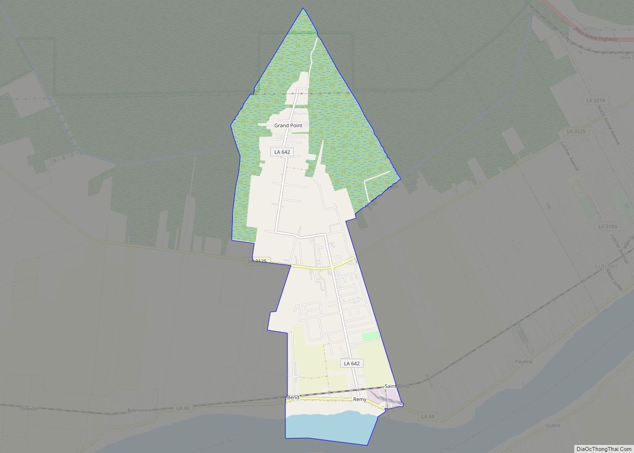
Grand Point is an unincorporated community and census-designated place in St. James Parish, Louisiana, United States. Its population was 2,473 as of the 2010 census. Grand Point CDP overview: Name: Grand Point CDP LSAD Code: 57 LSAD Description: CDP (suffix) State: Louisiana County: St. James Parish Elevation: 7 ft (2 m) Total Area: 4.57 sq mi (11.83 km²) Land Area: ... Read more
Louisiana Cities and Places
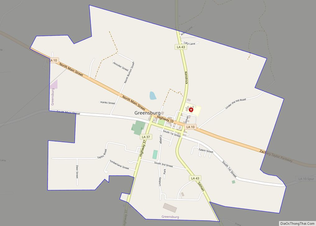
Greensburg is a town in, and the parish seat of, St. Helena Parish, Louisiana, United States. The population was 718 at the 2010 census. It is part of the Baton Rouge Metropolitan Statistical Area. Greensburg is one of the oldest towns in Louisiana. It has two 19th-century properties listed on the National Register of Historic ... Read more
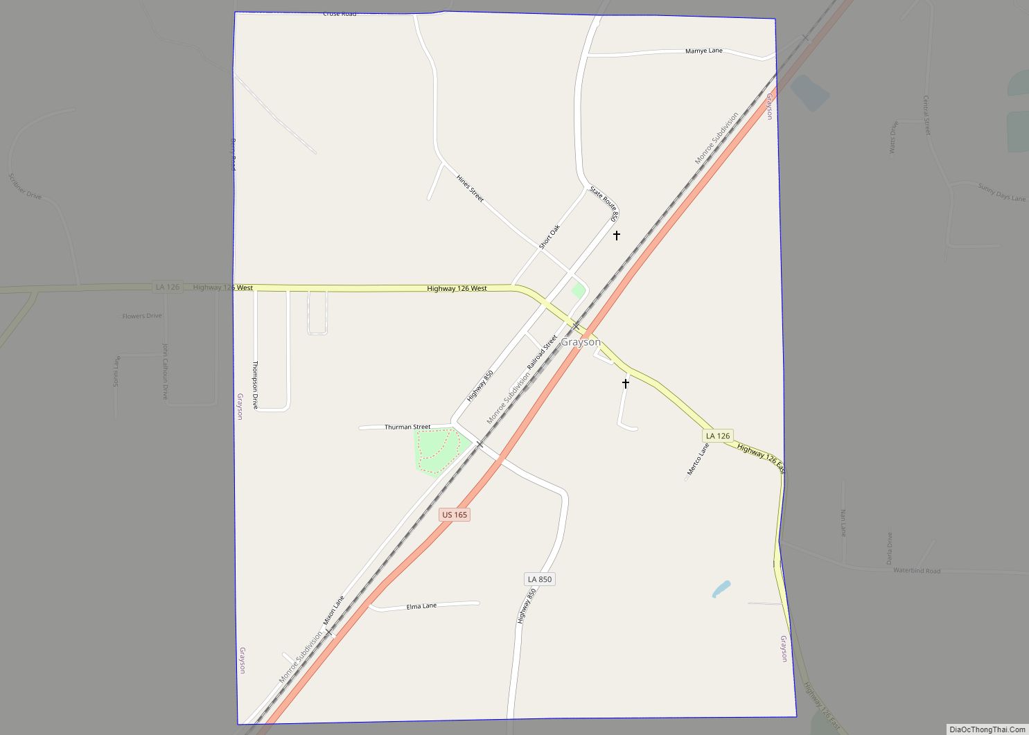
Grayson is a village in Caldwell Parish, Louisiana, United States. The population was 532 at the 2010 census. Grayson village overview: Name: Grayson village LSAD Code: 47 LSAD Description: village (suffix) State: Louisiana County: Caldwell Parish Elevation: 164 ft (50 m) Total Area: 1.27 sq mi (3.30 km²) Land Area: 1.27 sq mi (3.30 km²) Water Area: 0.00 sq mi (0.00 km²) Total Population: 449 Population ... Read more
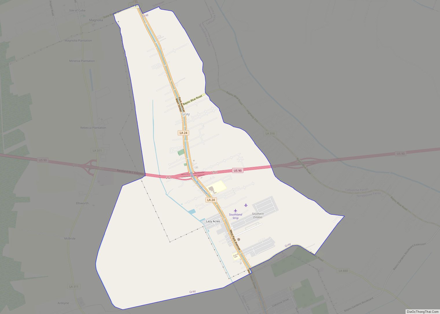
Gray is a census-designated place (CDP) in Terrebonne Parish, Louisiana. The population was 5,518 in 2020. It is part of the Houma–Bayou Cane–Thibodaux metropolitan statistical area. Gray CDP overview: Name: Gray CDP LSAD Code: 57 LSAD Description: CDP (suffix) State: Louisiana County: Terrebonne Parish Elevation: 10 ft (3 m) Total Area: 11.48 sq mi (29.73 km²) Land Area: 11.48 sq mi (29.73 km²) ... Read more
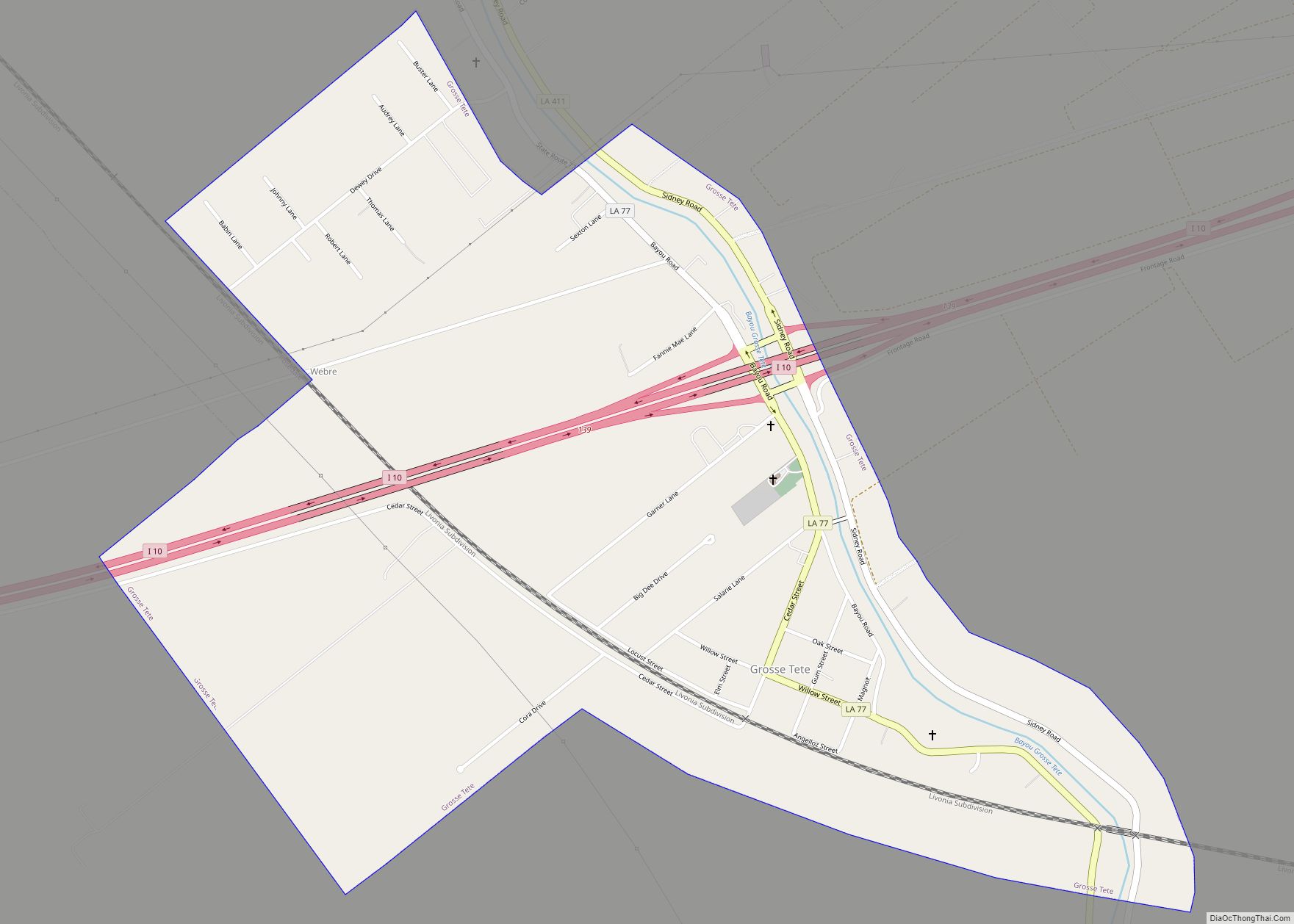
Grosse Tête ([ɡʁos tɛt]; locally /ɡroʊs ˈteɪt/) is a village in Iberville Parish, Louisiana, United States. The population was 647 at the 2010 census, and 731 at the 2019 American Community Survey. The village name is French for “Big Head”. Grosse Tête is part of the Baton Rouge metropolitan statistical area. Grosse Tete village overview: Name: ... Read more
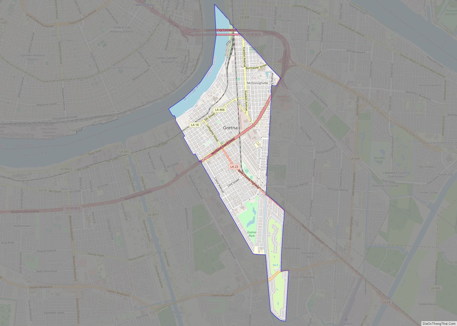
Gretna is the second-largest city in, and parish seat of, Jefferson Parish in the U.S. state of Louisiana. Gretna lies on the west bank of the Mississippi River, just east and across the river from uptown New Orleans. It is part of the New Orleans–Metairie–Kenner metropolitan statistical area. The population was 17,814 at the 2020 ... Read more
Greenwood is a suburban town in southern Caddo Parish, which is located in the northwest corner of the U.S. state of Louisiana. With a population of 3,166 at the 2020 United States census, it is the third most populous incorporated municipality in Caddo Parish after Shreveport and Blanchard. Part of the Shreveport-Bossier City metropolitan statistical ... Read more
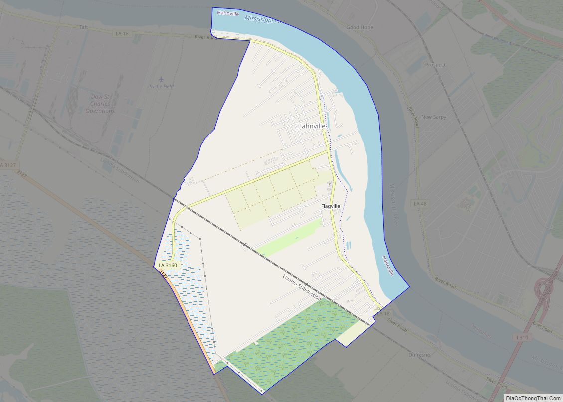
Hahnville is a census-designated place (CDP) in and the parish seat of St. Charles Parish, Louisiana, United States. The population was 2,792 at the 2000 census and 2,959 in 2020. For information on the origin of Hahnville, see Michael Hahn (1830–1886). Hahnville CDP overview: Name: Hahnville CDP LSAD Code: 57 LSAD Description: CDP (suffix) State: ... Read more
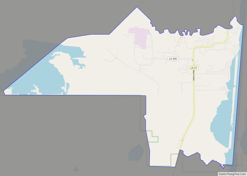
Hackberry is an unincorporated community and census-designated place (CDP) in Cameron Parish, Louisiana, United States. The population was 1,261 at the 2010 census, down from 1,699 in 2000. The losses were due to extensive damage from hurricanes Rita and Ike in 2005 and 2008, respectively. It is part of the Lake Charles Metropolitan Statistical Area. ... Read more
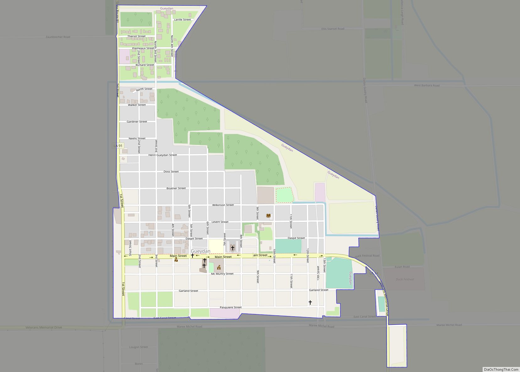
Gueydan (local pronunciation [ge(ɪ)dɔ̃]) is a town in Vermilion Parish, Louisiana, United States. The population was 1,398 at the 2010 census, down from 1,598 in 2000. At the 2020 population estimates program, its population decreased to 1,328. It is part of the Abbeville micropolitan statistical area. Gueydan town overview: Name: Gueydan town LSAD Code: 43 ... Read more
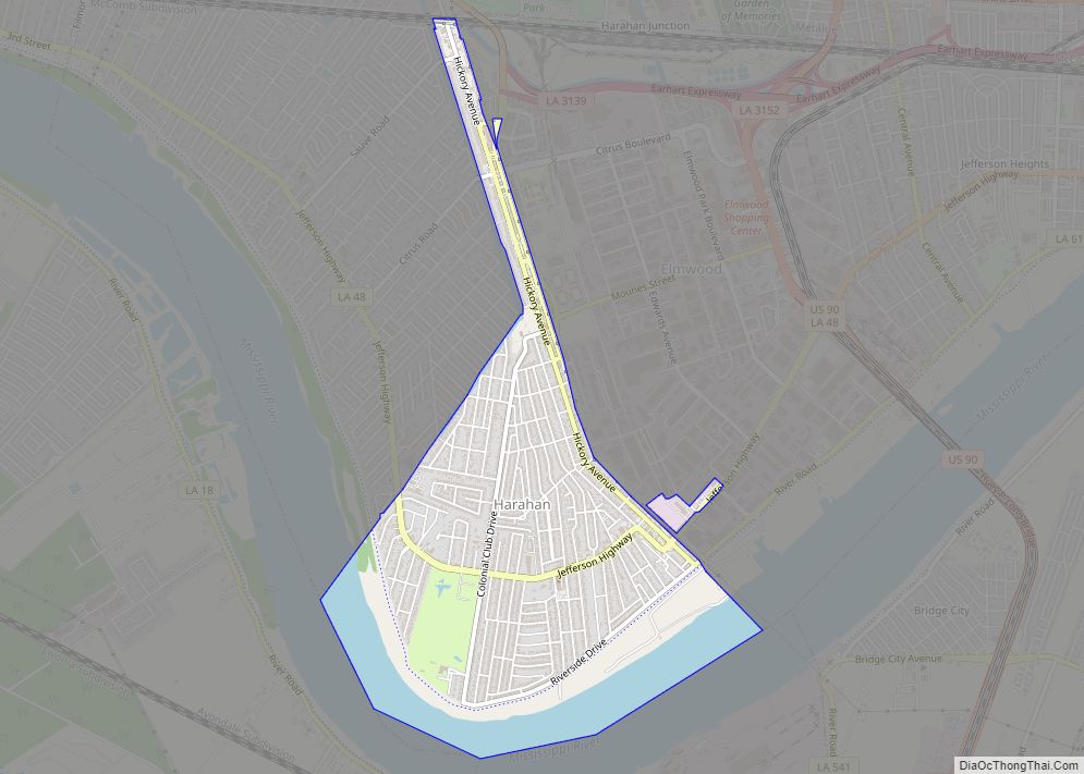
Harahan is a city in the U.S. state of Louisiana and suburb of New Orleans. The city of Harahan is located in Jefferson Parish; its population was 9,116 at the 2020 census. Harahan city overview: Name: Harahan city LSAD Code: 25 LSAD Description: city (suffix) State: Louisiana County: Jefferson Parish Elevation: 7 ft (2 m) Total Area: ... Read more
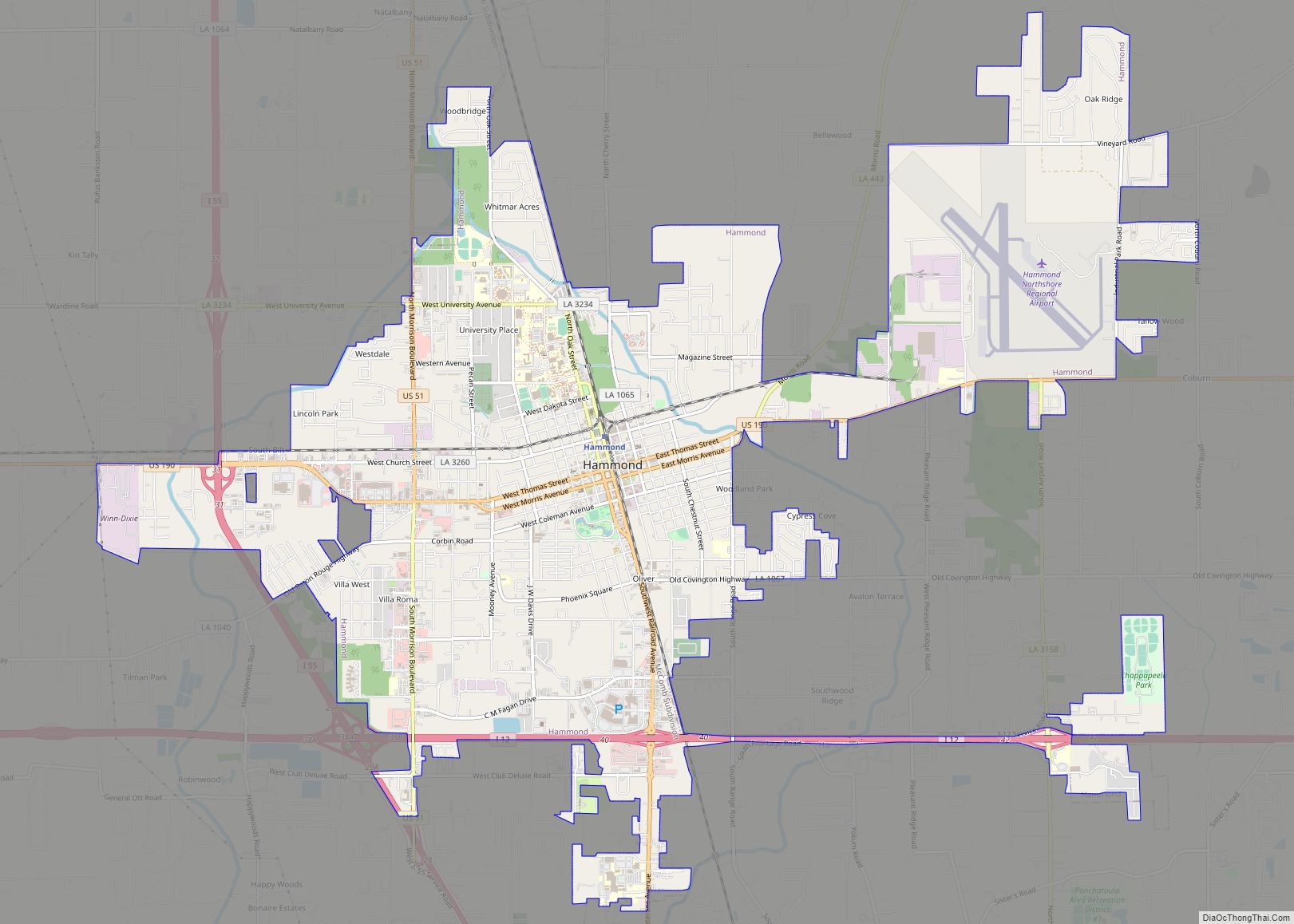
Hammond is the largest city in Tangipahoa Parish, Louisiana, United States, located 45 miles (72 km) east of Baton Rouge and 45 miles (72 km) northwest of New Orleans. Its population was 20,019 in the 2010 U.S. census, and 21,359 at the 2020 population estimates program. Hammond is home to Southeastern Louisiana University. It is the principal ... Read more
