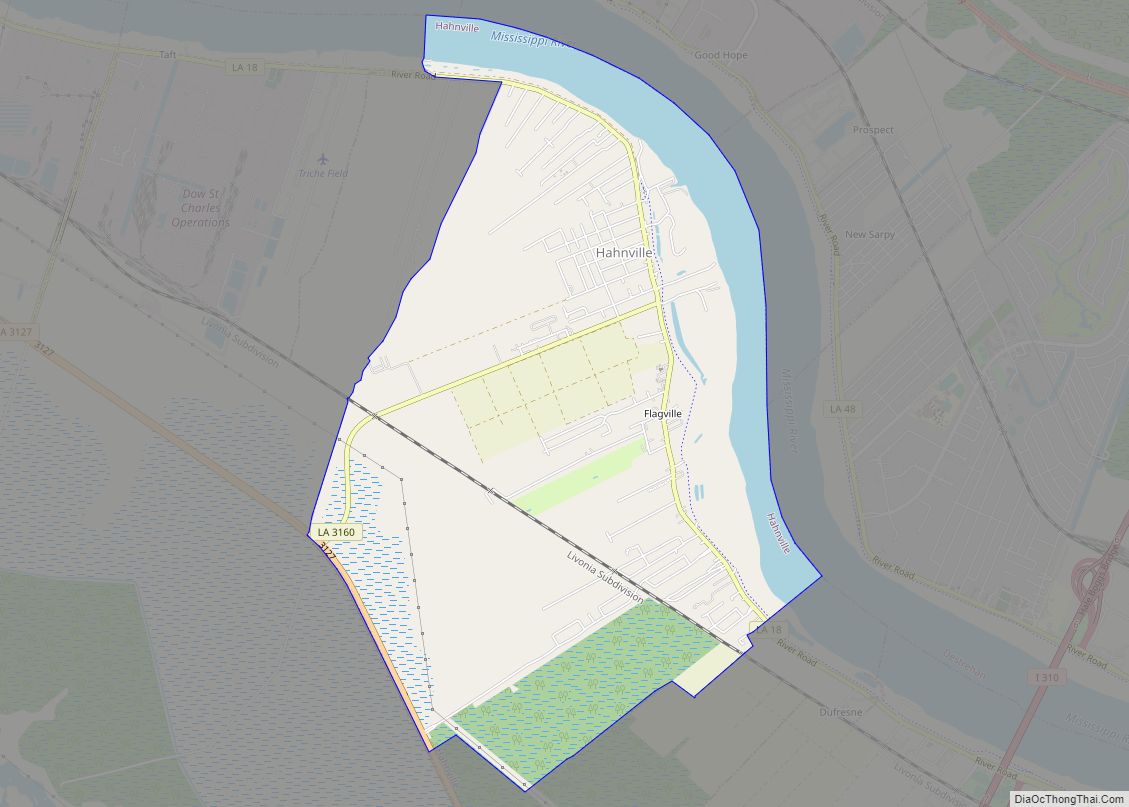
Hahnville is a census-designated place (CDP) in and the parish seat of St. Charles Parish, Louisiana, United States. The population was 2,792 at the 2000 census and 2,959 in 2020. For information on the origin of Hahnville, see Michael Hahn (1830–1886).
| Name: | Hahnville CDP |
|---|---|
| LSAD Code: | 57 |
| LSAD Description: | CDP (suffix) |
| State: | Louisiana |
| County: | St. Charles Parish |
| Elevation: | 13 ft (4 m) |
| Total Area: | 6.51 sq mi (16.86 km²) |
| Land Area: | 5.56 sq mi (14.39 km²) |
| Water Area: | 0.95 sq mi (2.46 km²) |
| Total Population: | 2,959 |
| Population Density: | 532.39/sq mi (205.56/km²) |
| ZIP code: | 70057 |
| Area code: | 504 |
| FIPS code: | 2232510 |
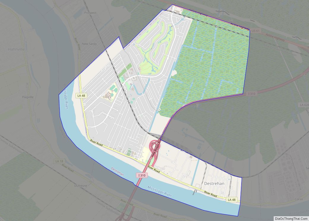
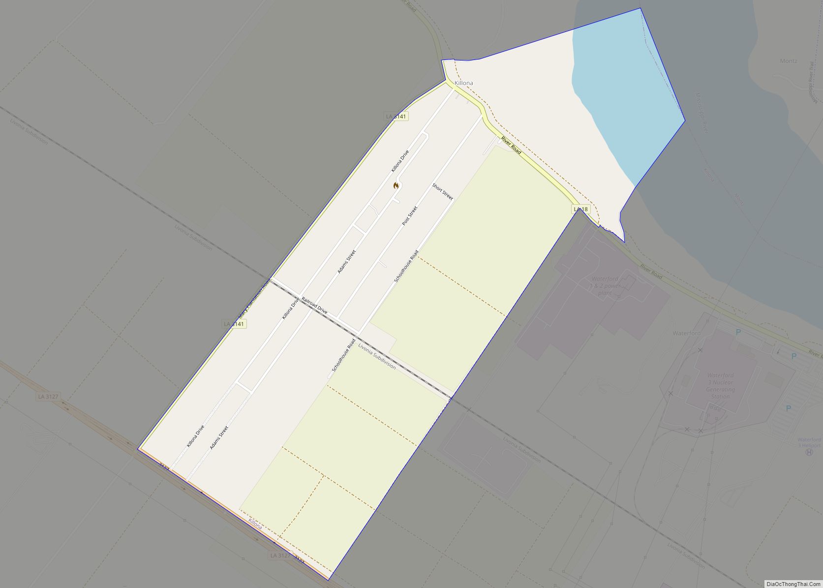
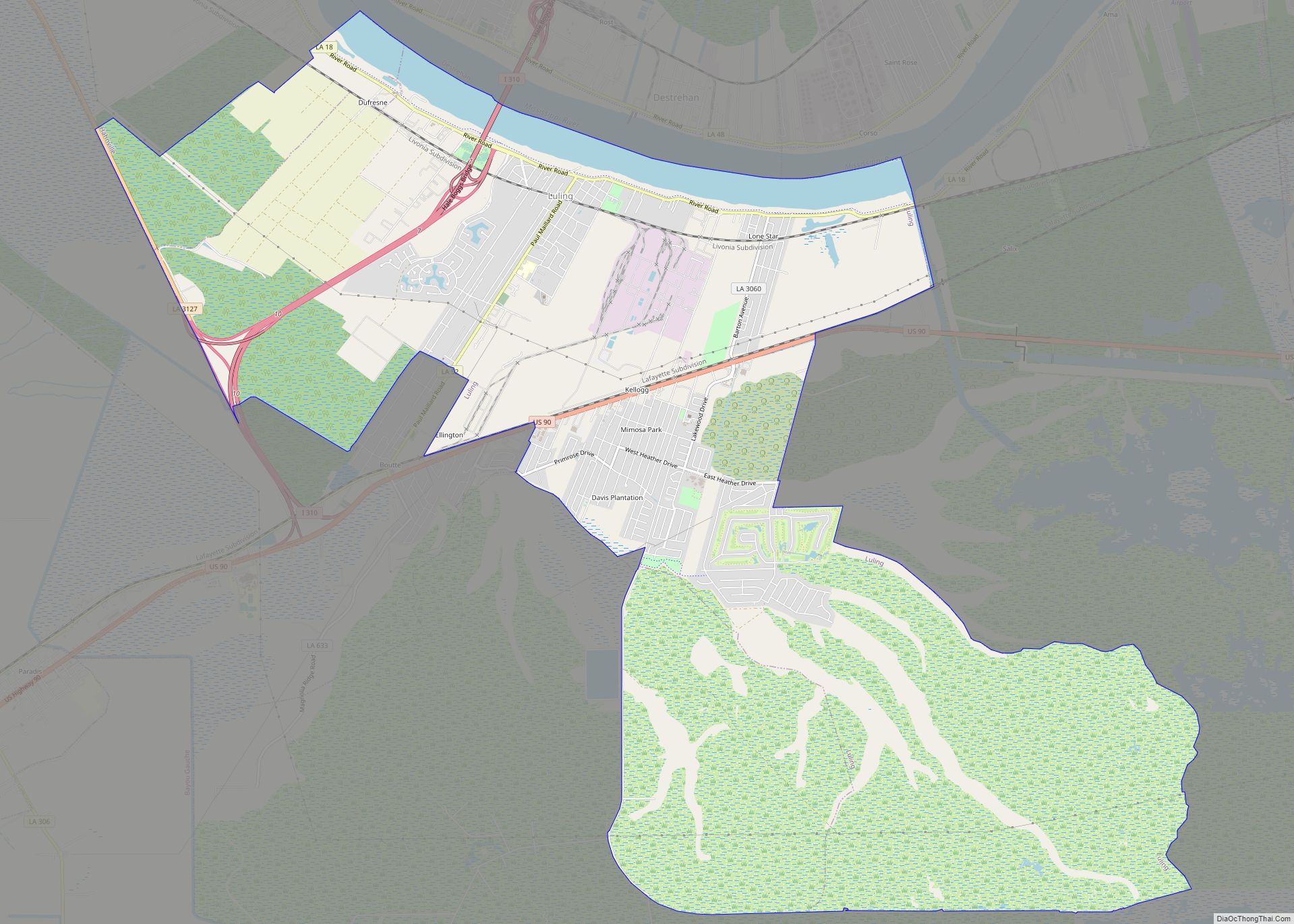
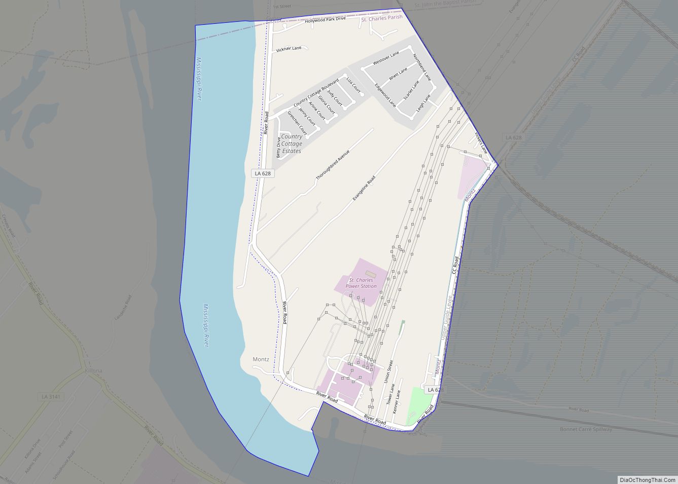
Online Interactive Map
Click on ![]() to view map in "full screen" mode.
to view map in "full screen" mode.
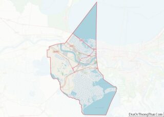
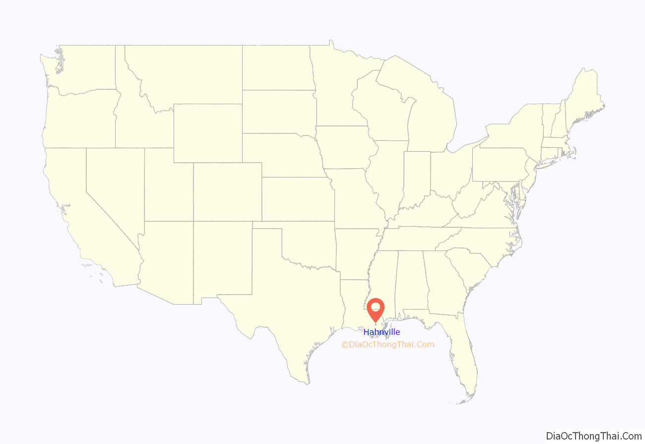
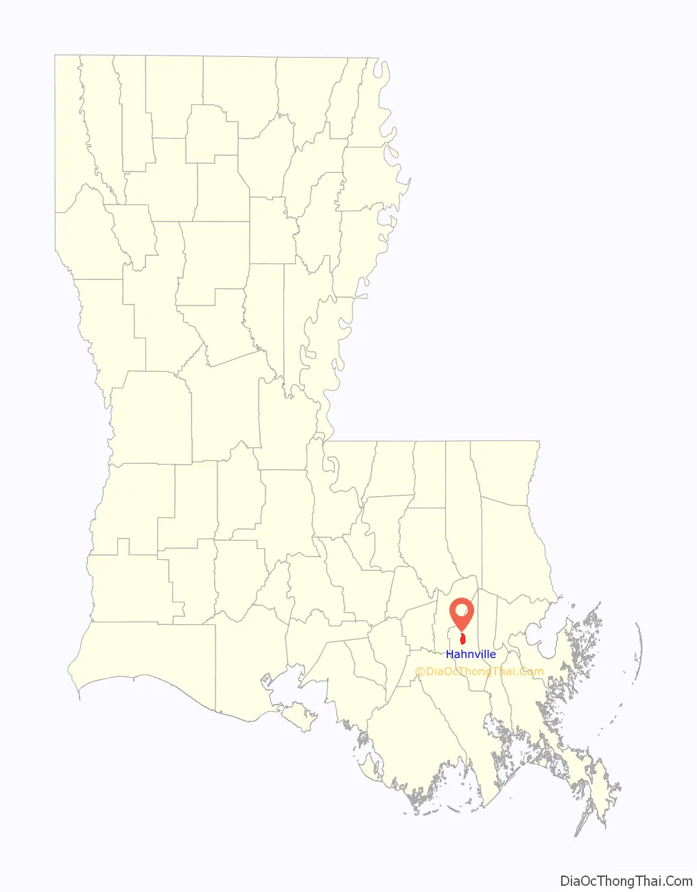
Hahnville location map. Where is Hahnville CDP?
History
In the second half of the 19th century, the village of Hahnville was established by Michael Hahn, 19th Governor of Louisiana, near his plantation in St. Charles Parish where he had been living since his retirement in 1872.
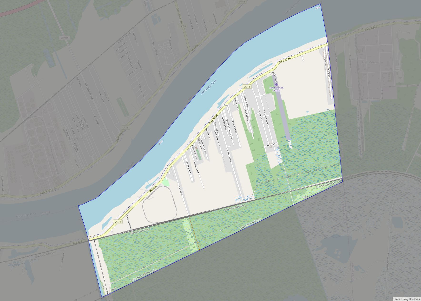
Hahnville Road Map
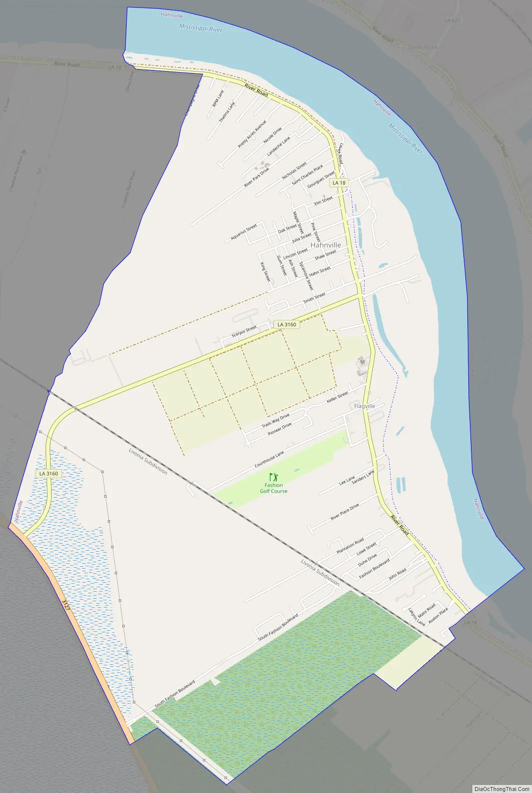
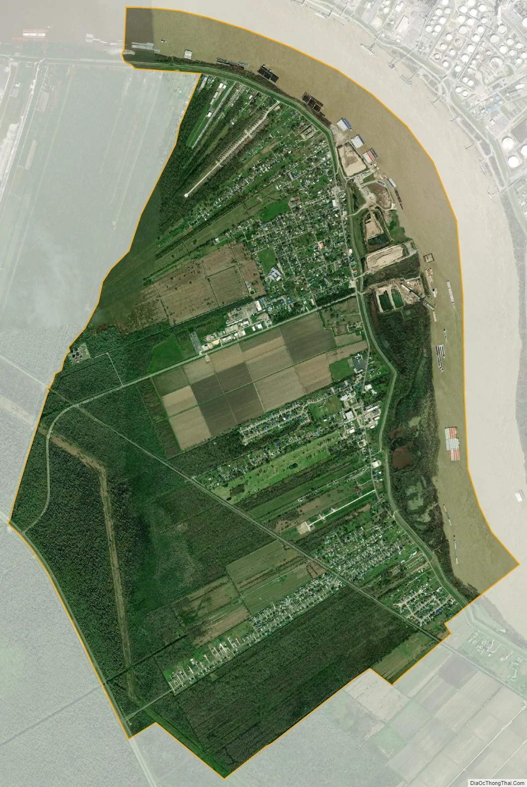
Hahnville city Satellite Map
Geography
Hahnville is located at 29°58′1″N 90°24′36″W / 29.96694°N 90.41000°W / 29.96694; -90.41000 (29.967081, -90.410129).
According to the United States Census Bureau, the CDP has a total area of 8.8 square miles (23 km), of which 7.8 square miles (20 km) is land and 1.0 square mile (2.6 km) (11.79%) is water.
See also
Map of Louisiana State and its subdivision:- Acadia
- Allen
- Ascension
- Assumption
- Avoyelles
- Beauregard
- Bienville
- Bossier
- Caddo
- Calcasieu
- Caldwell
- Cameron
- Catahoula
- Claiborne
- Concordia
- De Soto
- East Baton Rouge
- East Carroll
- East Feliciana
- Evangeline
- Franklin
- Grant
- Iberia
- Iberville
- Jackson
- Jefferson
- Jefferson Davis
- La Salle
- Lafayette
- Lafourche
- Lincoln
- Livingston
- Madison
- Morehouse
- Natchitoches
- Orleans
- Ouachita
- Plaquemines
- Pointe Coupee
- Rapides
- Red River
- Richland
- Sabine
- Saint Bernard
- Saint Charles
- Saint Helena
- Saint James
- Saint John the Baptist
- Saint Landry
- Saint Martin
- Saint Mary
- Saint Tammany
- Tangipahoa
- Tensas
- Terrebonne
- Union
- Vermilion
- Vernon
- Washington
- Webster
- West Baton Rouge
- West Carroll
- West Feliciana
- Winn
- Alabama
- Alaska
- Arizona
- Arkansas
- California
- Colorado
- Connecticut
- Delaware
- District of Columbia
- Florida
- Georgia
- Hawaii
- Idaho
- Illinois
- Indiana
- Iowa
- Kansas
- Kentucky
- Louisiana
- Maine
- Maryland
- Massachusetts
- Michigan
- Minnesota
- Mississippi
- Missouri
- Montana
- Nebraska
- Nevada
- New Hampshire
- New Jersey
- New Mexico
- New York
- North Carolina
- North Dakota
- Ohio
- Oklahoma
- Oregon
- Pennsylvania
- Rhode Island
- South Carolina
- South Dakota
- Tennessee
- Texas
- Utah
- Vermont
- Virginia
- Washington
- West Virginia
- Wisconsin
- Wyoming