Greensburg is a town in, and the parish seat of, St. Helena Parish, Louisiana, United States. The population was 718 at the 2010 census. It is part of the Baton Rouge Metropolitan Statistical Area.
Greensburg is one of the oldest towns in Louisiana. It has two 19th-century properties listed on the National Register of Historic Places, the old land office and the old parish jail.
| Name: | Greensburg town |
|---|---|
| LSAD Code: | 43 |
| LSAD Description: | town (suffix) |
| State: | Louisiana |
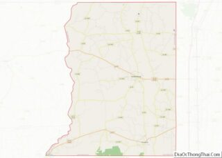
| County: | St. Helena Parish |
| Elevation: | 220 ft (70 m) |
| Total Area: | 2.52 sq mi (6.54 km²) |
| Land Area: | 2.52 sq mi (6.52 km²) |
| Water Area: | 0.01 sq mi (0.01 km²) |
| Total Population: | 629 |
| Population Density: | 249.70/sq mi (96.42/km²) |
| ZIP code: | 70441 |
| Area code: | 225 |
| FIPS code: | 2231565 |
Online Interactive Map
Click on ![]() to view map in "full screen" mode.
to view map in "full screen" mode.
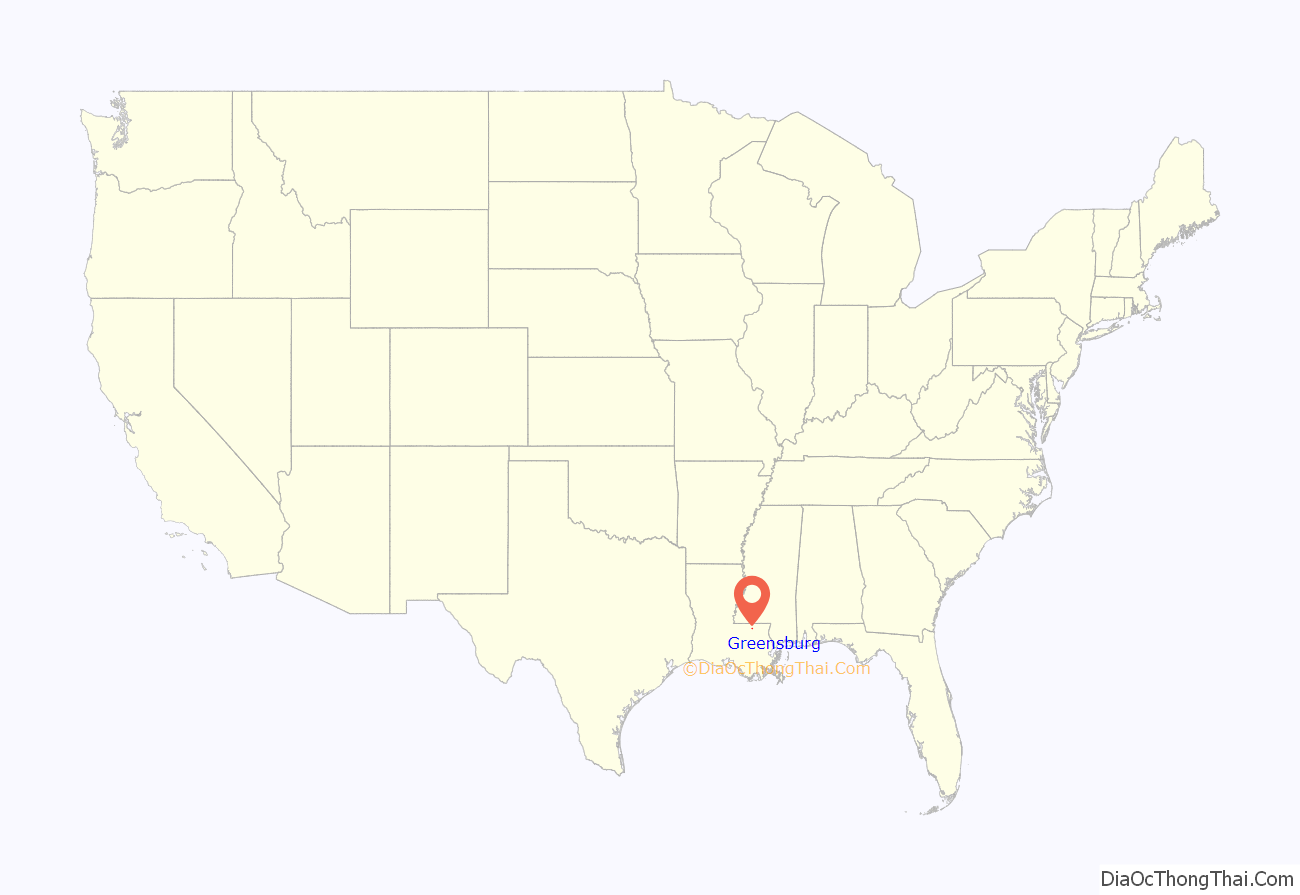
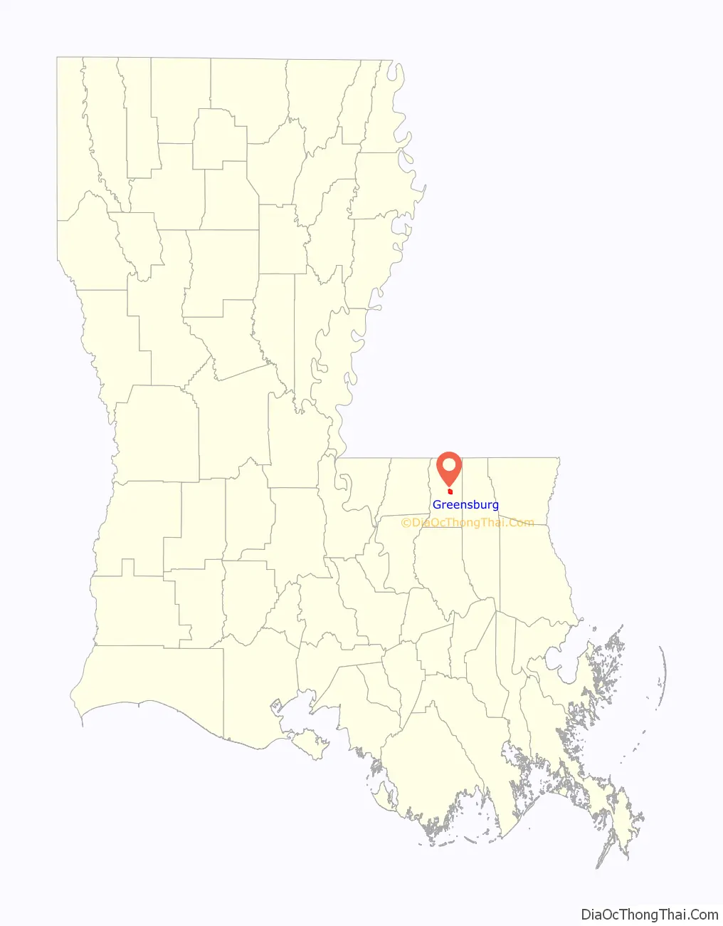
Greensburg location map. Where is Greensburg town?
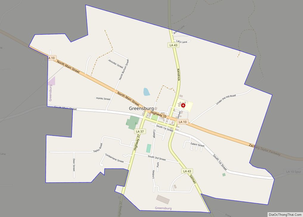
Greensburg Road Map

Greensburg city Satellite Map

Geography
According to the United States Census Bureau, the town has a total area of 2.5 square miles (6.5 km), of which 2.5 square miles (6.5 km) is land and 0.40% is water.
Climate
The climate in this area is characterized by hot, humid summers and generally mild to cool winters. According to the Köppen Climate Classification system, Greensburg has a humid subtropical climate, abbreviated “Cfa” on climate maps.
See also
Map of Louisiana State and its subdivision:- Acadia
- Allen
- Ascension
- Assumption
- Avoyelles
- Beauregard
- Bienville
- Bossier
- Caddo
- Calcasieu
- Caldwell
- Cameron
- Catahoula
- Claiborne
- Concordia
- De Soto
- East Baton Rouge
- East Carroll
- East Feliciana
- Evangeline
- Franklin
- Grant
- Iberia
- Iberville
- Jackson
- Jefferson
- Jefferson Davis
- La Salle
- Lafayette
- Lafourche
- Lincoln
- Livingston
- Madison
- Morehouse
- Natchitoches
- Orleans
- Ouachita
- Plaquemines
- Pointe Coupee
- Rapides
- Red River
- Richland
- Sabine
- Saint Bernard
- Saint Charles
- Saint Helena
- Saint James
- Saint John the Baptist
- Saint Landry
- Saint Martin
- Saint Mary
- Saint Tammany
- Tangipahoa
- Tensas
- Terrebonne
- Union
- Vermilion
- Vernon
- Washington
- Webster
- West Baton Rouge
- West Carroll
- West Feliciana
- Winn
- Alabama
- Alaska
- Arizona
- Arkansas
- California
- Colorado
- Connecticut
- Delaware
- District of Columbia
- Florida
- Georgia
- Hawaii
- Idaho
- Illinois
- Indiana
- Iowa
- Kansas
- Kentucky
- Louisiana
- Maine
- Maryland
- Massachusetts
- Michigan
- Minnesota
- Mississippi
- Missouri
- Montana
- Nebraska
- Nevada
- New Hampshire
- New Jersey
- New Mexico
- New York
- North Carolina
- North Dakota
- Ohio
- Oklahoma
- Oregon
- Pennsylvania
- Rhode Island
- South Carolina
- South Dakota
- Tennessee
- Texas
- Utah
- Vermont
- Virginia
- Washington
- West Virginia
- Wisconsin
- Wyoming