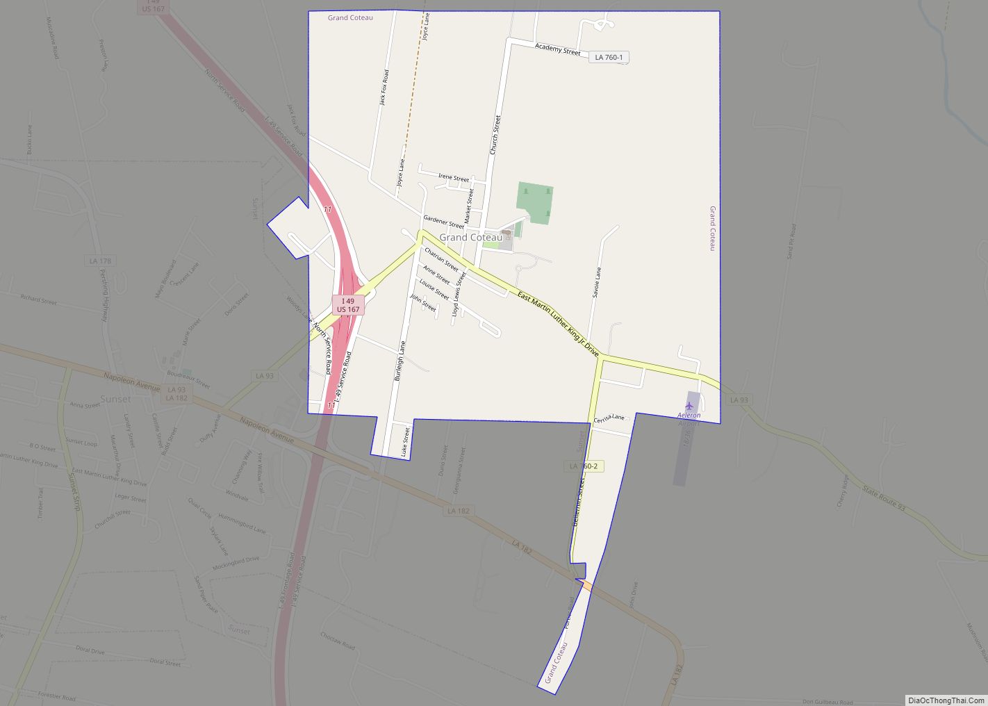
Grand Coteau is a town in St. Landry Parish, Louisiana, United States. The population was 947 at the 2010 census. Grand Coteau is on Interstate 49 south of Opelousas and is part of the Opelousas–Eunice Micropolitan Statistical Area. The town is a center for local farming. As of 2018, the mayor is Patrick Richard.
| Name: | Grand Coteau town |
|---|---|
| LSAD Code: | 43 |
| LSAD Description: | town (suffix) |
| State: | Louisiana |
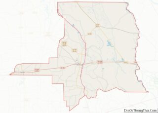
| County: | St. Landry Parish |
| Elevation: | 56 ft (17 m) |
| Total Area: | 2.42 sq mi (6.27 km²) |
| Land Area: | 2.42 sq mi (6.27 km²) |
| Water Area: | 0.00 sq mi (0.00 km²) |
| Total Population: | 776 |
| Population Density: | 320.26/sq mi (123.67/km²) |
| Area code: | 337 |
| FIPS code: | 2230760 |
Online Interactive Map
Click on ![]() to view map in "full screen" mode.
to view map in "full screen" mode.
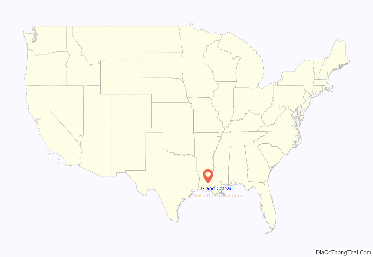
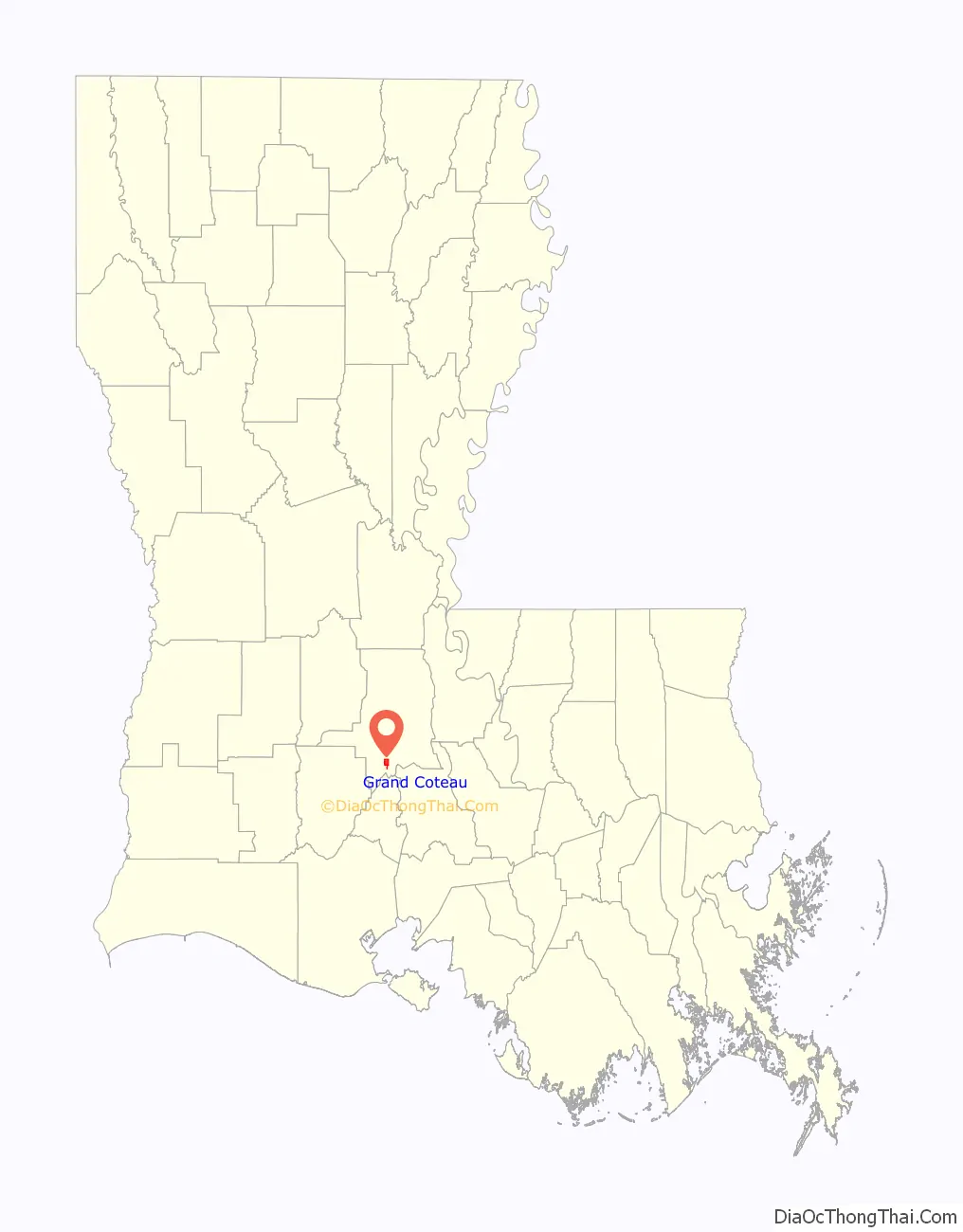
Grand Coteau location map. Where is Grand Coteau town?
History
The first known land grant by the colonial Louisiana government was in 1776 in the area referred to as Buzzard Prairie. In the early 19th century, Buzzard Prairie served as a stopping point for travelers between Washington, Louisiana, and St. Martinville, Louisiana. The thriving community had two bakeries, a cobbler, a millinery, a blacksmith shop, a post office, six bars, and nine brothels.
In 1821, Mrs. Charles Smith, widow of a wealthy planter in Opelousas, donated land, a two-story building, and funds to pay for the travel expenses of two nuns from St. Charles, Missouri. The two nuns of the Religious of the Sacred Heart founded a convent and a school that became the Academy of the Sacred Heart.
The Jesuits arrived in 1837 when St. Charles College was built. The settlement that grew up around the schools was called St. Charles Town before it was changed to Grand Coteau. Grand Coteau is derived from the French meaning “great hill.”
On October 3, 1863, the Campaign of the Teche was commenced. The Ninety-ninth infantry regiment of Illinois was in several skirmishes, and a detachment of the regiment, Captain A. C. Mathews commanding, was engaged in the Battle of Grand Coteau. On November 9, they moved on to New Orleans. Although thousands of Union troops were encamped in the fields surrounding the Academy during the Civil War, the school was not touched.
In the 19th century the population of Grand Coteau grew with African-Americans, free people of color, Acadians, Creoles, French, Irish, and German immigrants. The town retains examples of Victorian architecture from its mid-19th-century boom.
Grand Coteau was home to Sacred Heart Colored School and St. Peter Claver High School.
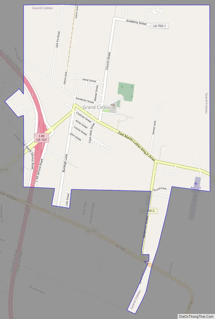
Grand Coteau Road Map
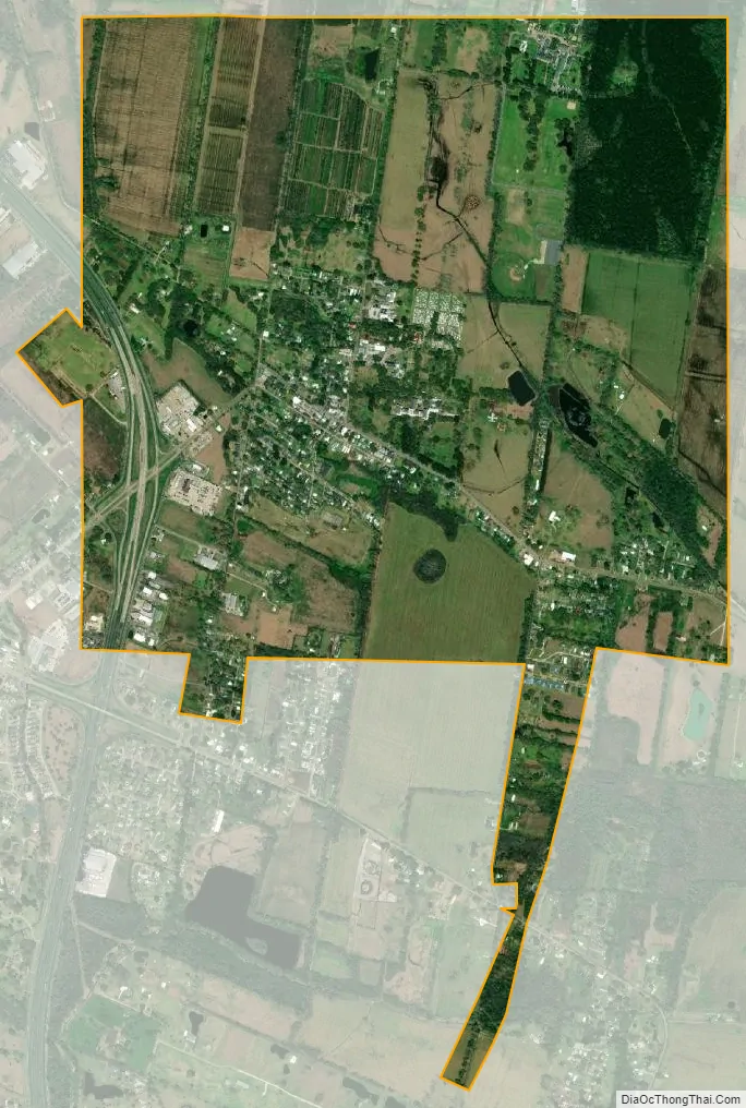
Grand Coteau city Satellite Map
Geography
Grand Coteau is located at 30°25′8″N 92°2′53″W / 30.41889°N 92.04806°W / 30.41889; -92.04806 (30.418861, -92.048174).
According to the United States Census Bureau, the town has a total area of 2.4 square miles (6.2 km), all land.
See also
Map of Louisiana State and its subdivision:- Acadia
- Allen
- Ascension
- Assumption
- Avoyelles
- Beauregard
- Bienville
- Bossier
- Caddo
- Calcasieu
- Caldwell
- Cameron
- Catahoula
- Claiborne
- Concordia
- De Soto
- East Baton Rouge
- East Carroll
- East Feliciana
- Evangeline
- Franklin
- Grant
- Iberia
- Iberville
- Jackson
- Jefferson
- Jefferson Davis
- La Salle
- Lafayette
- Lafourche
- Lincoln
- Livingston
- Madison
- Morehouse
- Natchitoches
- Orleans
- Ouachita
- Plaquemines
- Pointe Coupee
- Rapides
- Red River
- Richland
- Sabine
- Saint Bernard
- Saint Charles
- Saint Helena
- Saint James
- Saint John the Baptist
- Saint Landry
- Saint Martin
- Saint Mary
- Saint Tammany
- Tangipahoa
- Tensas
- Terrebonne
- Union
- Vermilion
- Vernon
- Washington
- Webster
- West Baton Rouge
- West Carroll
- West Feliciana
- Winn
- Alabama
- Alaska
- Arizona
- Arkansas
- California
- Colorado
- Connecticut
- Delaware
- District of Columbia
- Florida
- Georgia
- Hawaii
- Idaho
- Illinois
- Indiana
- Iowa
- Kansas
- Kentucky
- Louisiana
- Maine
- Maryland
- Massachusetts
- Michigan
- Minnesota
- Mississippi
- Missouri
- Montana
- Nebraska
- Nevada
- New Hampshire
- New Jersey
- New Mexico
- New York
- North Carolina
- North Dakota
- Ohio
- Oklahoma
- Oregon
- Pennsylvania
- Rhode Island
- South Carolina
- South Dakota
- Tennessee
- Texas
- Utah
- Vermont
- Virginia
- Washington
- West Virginia
- Wisconsin
- Wyoming