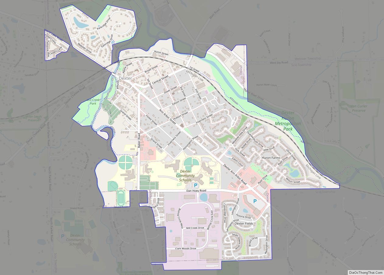
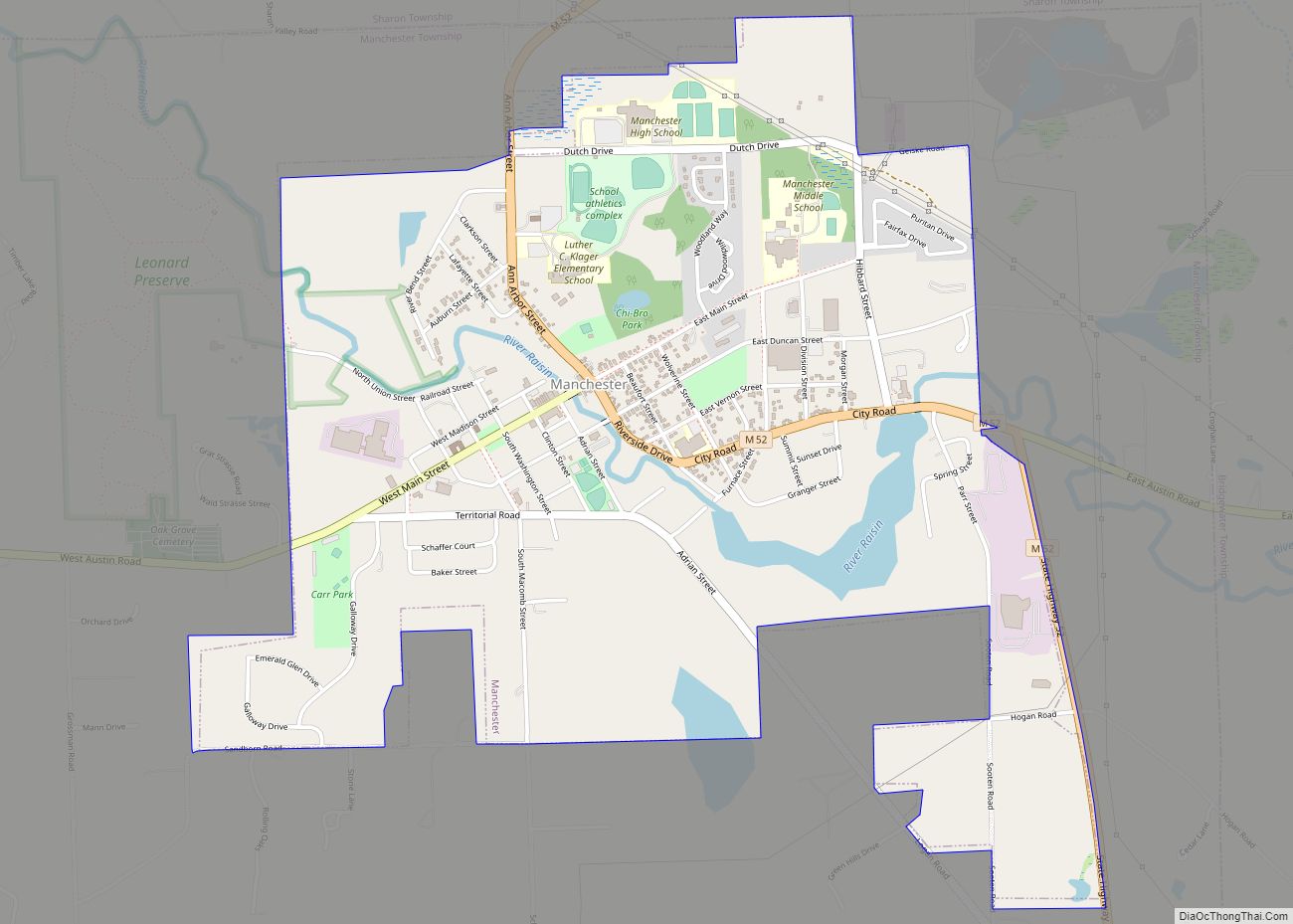
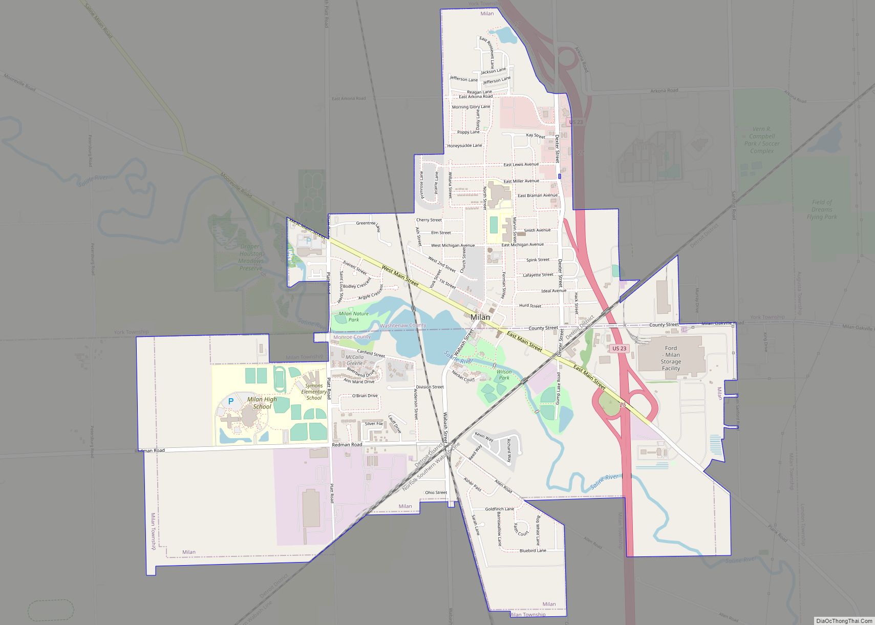
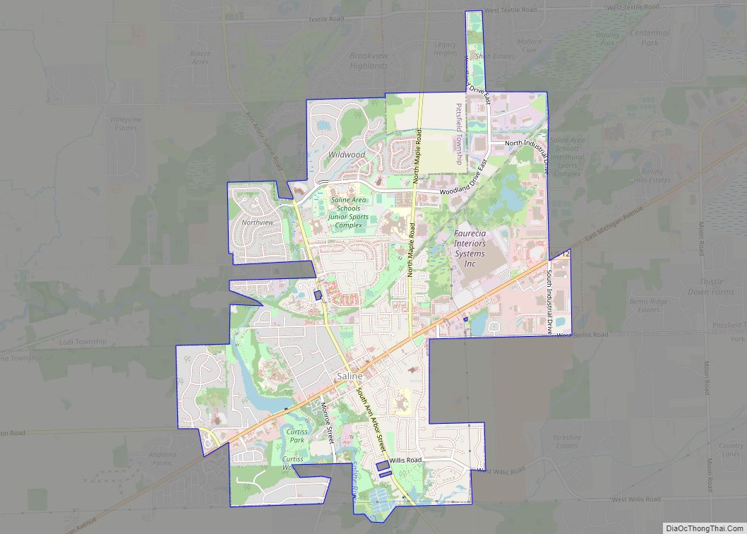
Ann Arbor is a city in the U.S. state of Michigan and the seat of government of Washtenaw County. The 2020 census recorded its population to be 123,851, making it the fifth-largest city in Michigan. It is the principal city of the Ann Arbor Metropolitan Statistical Area, which encompasses all of Washtenaw County. Ann Arbor is also included in the Greater Detroit Combined Statistical Area and the Great Lakes megalopolis, the most populated and largest megalopolis in North America.
Ann Arbor is home to the University of Michigan. The university significantly shapes Ann Arbor’s economy as it employs about 30,000 workers, including about 12,000 in the medical center. The city’s economy is also centered on high technology, with several companies drawn to the area by the university’s research and development infrastructure.
Ann Arbor was founded in 1824, named after the wives of the village’s founders, both named Ann, and the stands of bur oak trees. The city’s population grew at a rapid rate in the early to mid-20th century.
| Name: | Ann Arbor city |
|---|---|
| LSAD Code: | 25 |
| LSAD Description: | city (suffix) |
| State: | Michigan |
| County: | Washtenaw County |
| Founded: | 1824 |
| Incorporated: | 1833 (village) 1851 (city) |
| Elevation: | 840 ft (256 m) |
| Land Area: | 28.22 sq mi (73.10 km²) |
| Water Area: | 0.87 sq mi (2.25 km²) |
| Population Density: | 4,388.14/sq mi (1,694.28/km²) |
| Area code: | 734 |
| FIPS code: | 2603000 |
| GNISfeature ID: | 0620133 |
| Website: | www.a2gov.org |
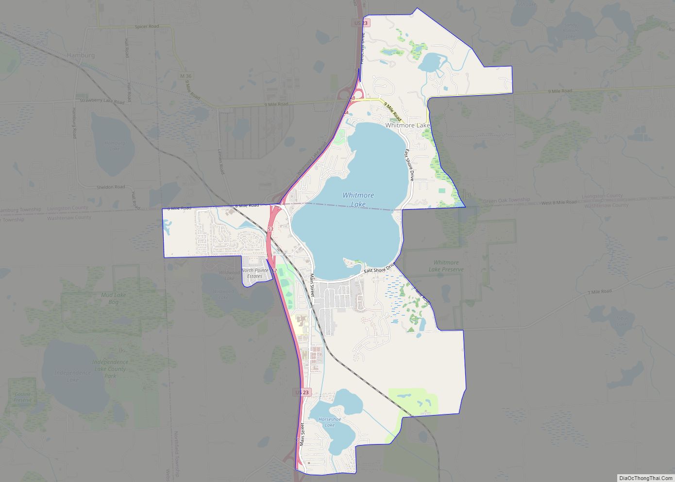
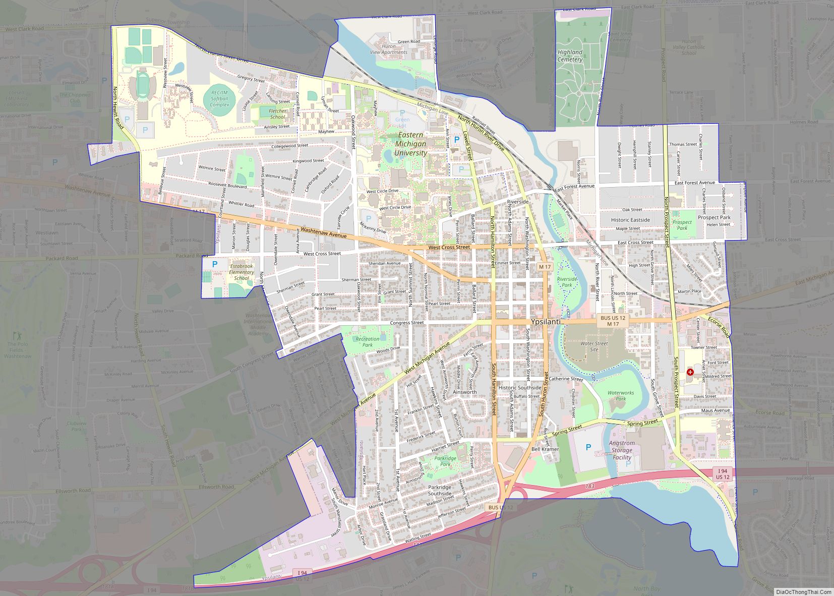
Our Ann Arbor map collection offers an overview of the city and its attractions. The collection includes a road map, a top 10 things to do list, and a list of the major parks in the city. Additionally, an interactive map of the city is available to help you explore the city in more detail.
Ann Arbor is a great city to visit and explore. With its rich history, diverse culture, and vibrant outdoor activities, it is a great place to spend a weekend or a lifetime. Our Ann Arbor map collection is your guide to this wonderful city and its attractions.
Ann Arbor Map Collection
Ann Arbor is a great city to explore, with its rich history, diverse culture, and vibrant outdoor activities. Our Ann Arbor map collection offers an overview of the city and its attractions, including a road map, a top 10 things to do list, and a list of the major parks in the city. An interactive map of the city is also available to explore the city in more detail. So if you’re planning a visit to Ann Arbor, make sure to check out our Ann Arbor map collection for all the information you need.
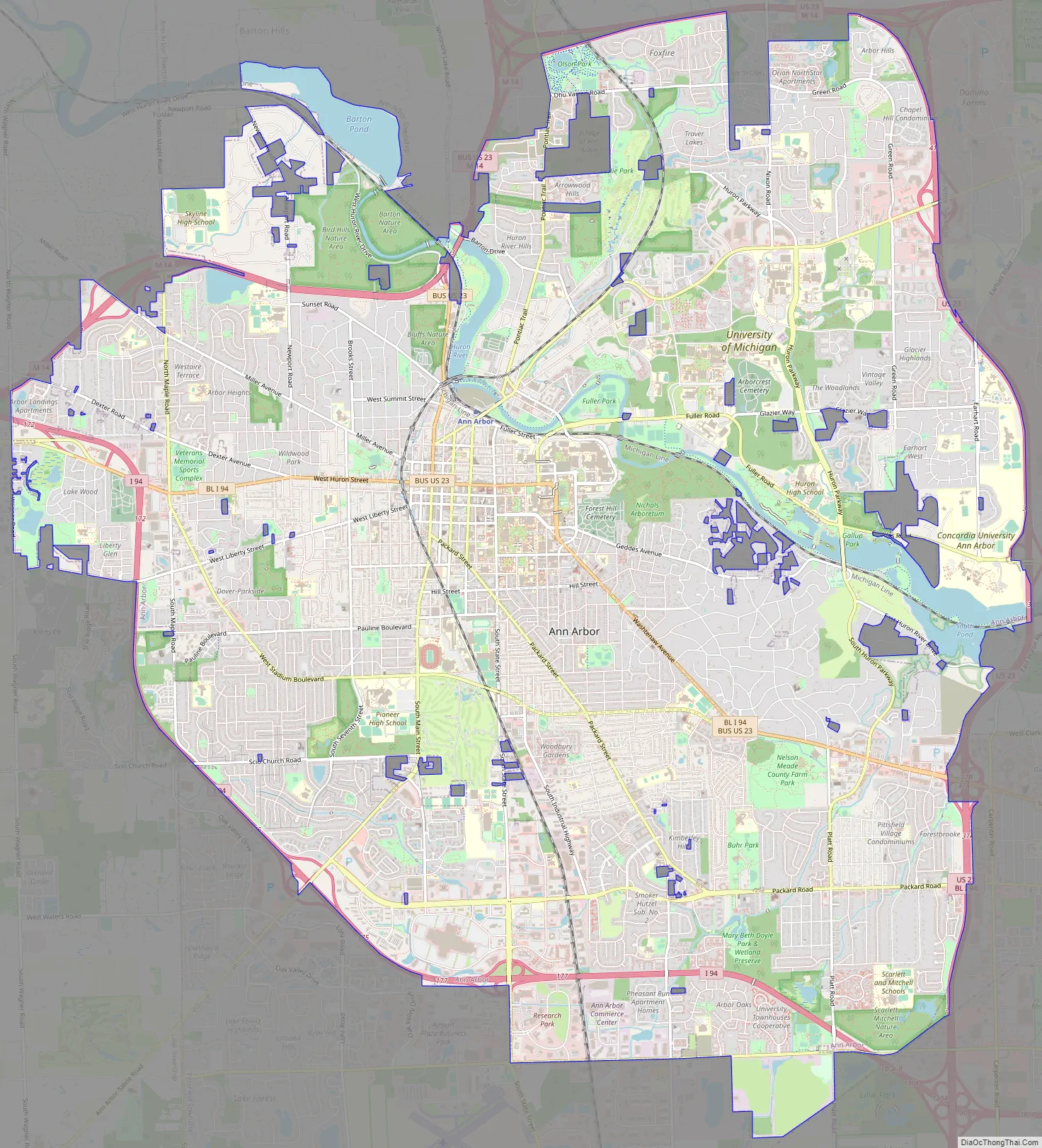
Online Interactive Map
Click on ![]() to view map in "full screen" mode.
to view map in "full screen" mode.
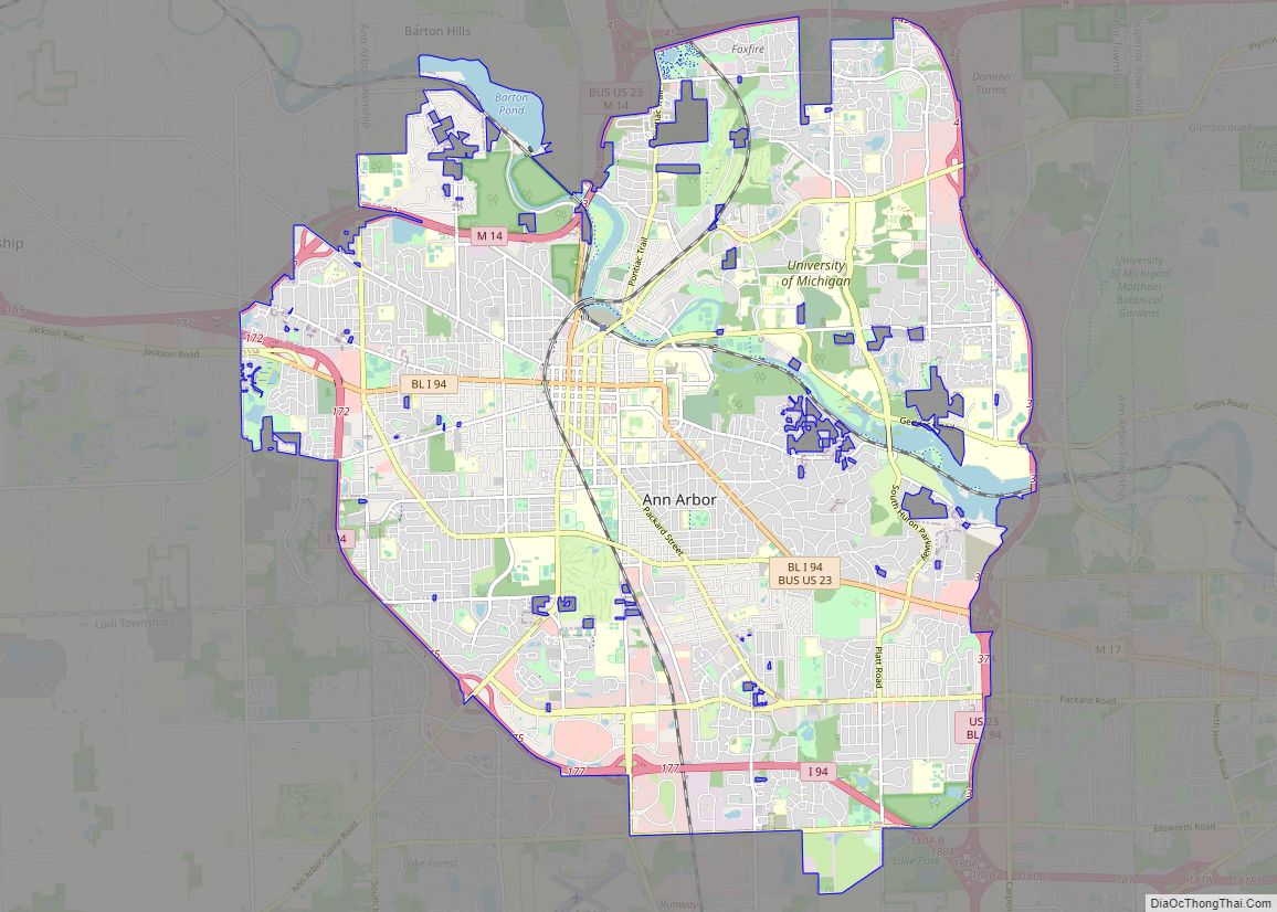
This is an interactive map that displays restaurants, businesses, parks, and other locations in Ann Arbor. Ann Arbor is a city that is known for its tree-lined streets and rich history. As you can see from the size of the city boundary, it’s a small, walkable area. Whether you are looking for a new job, live in the area, or just want to explore this beautiful town, this interactive map will provide you with everything you need to know about Ann Arbor.
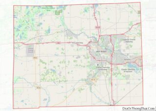
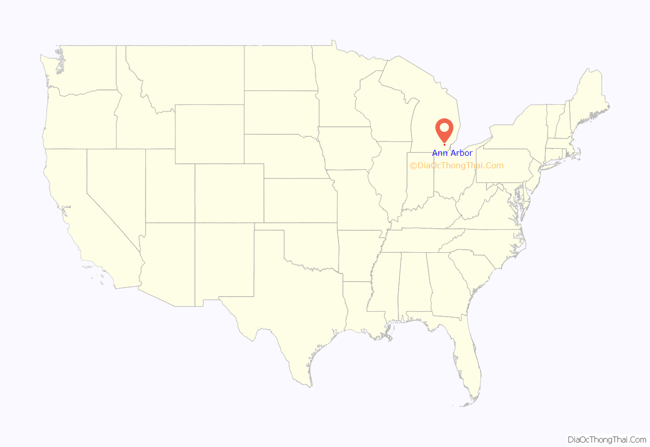
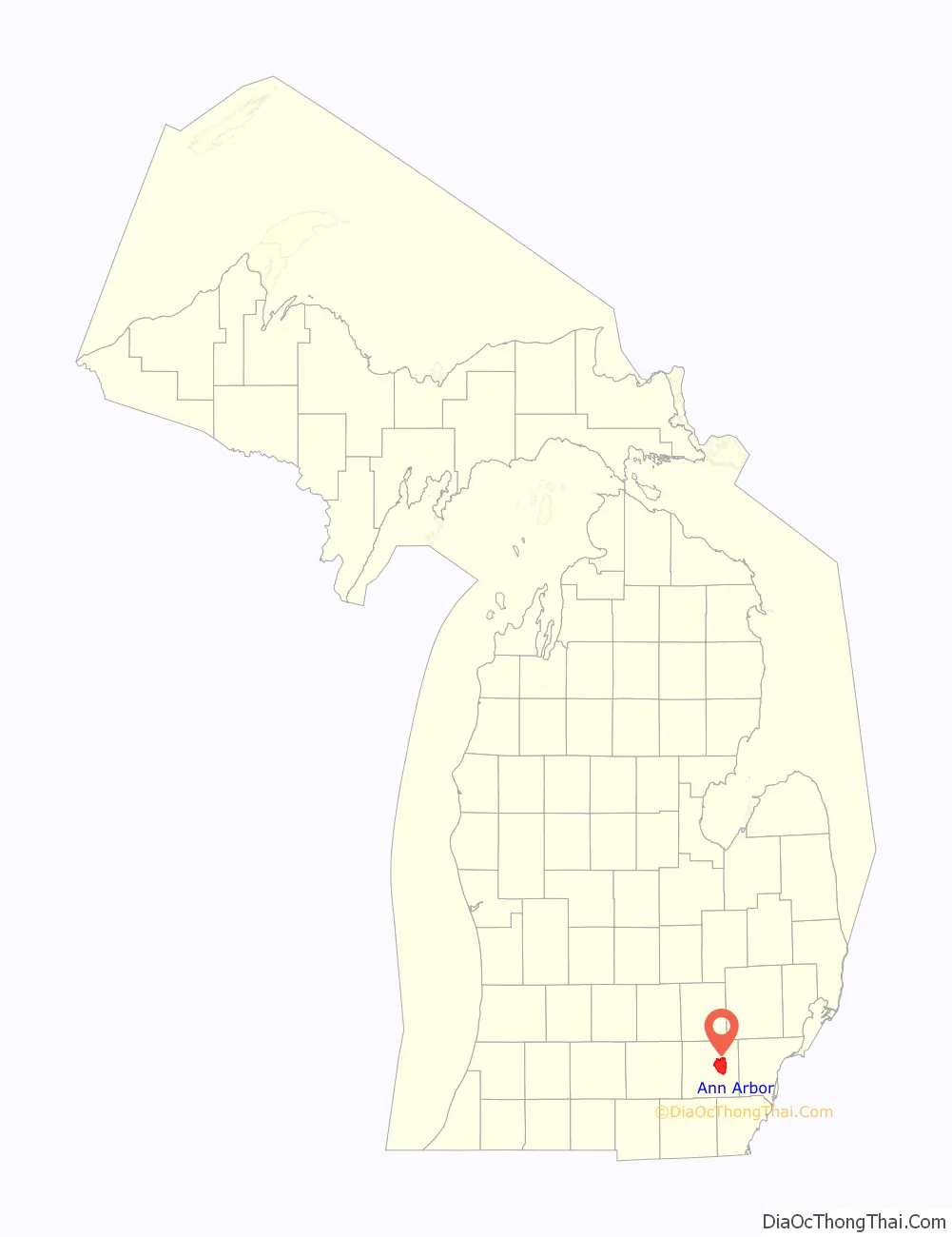
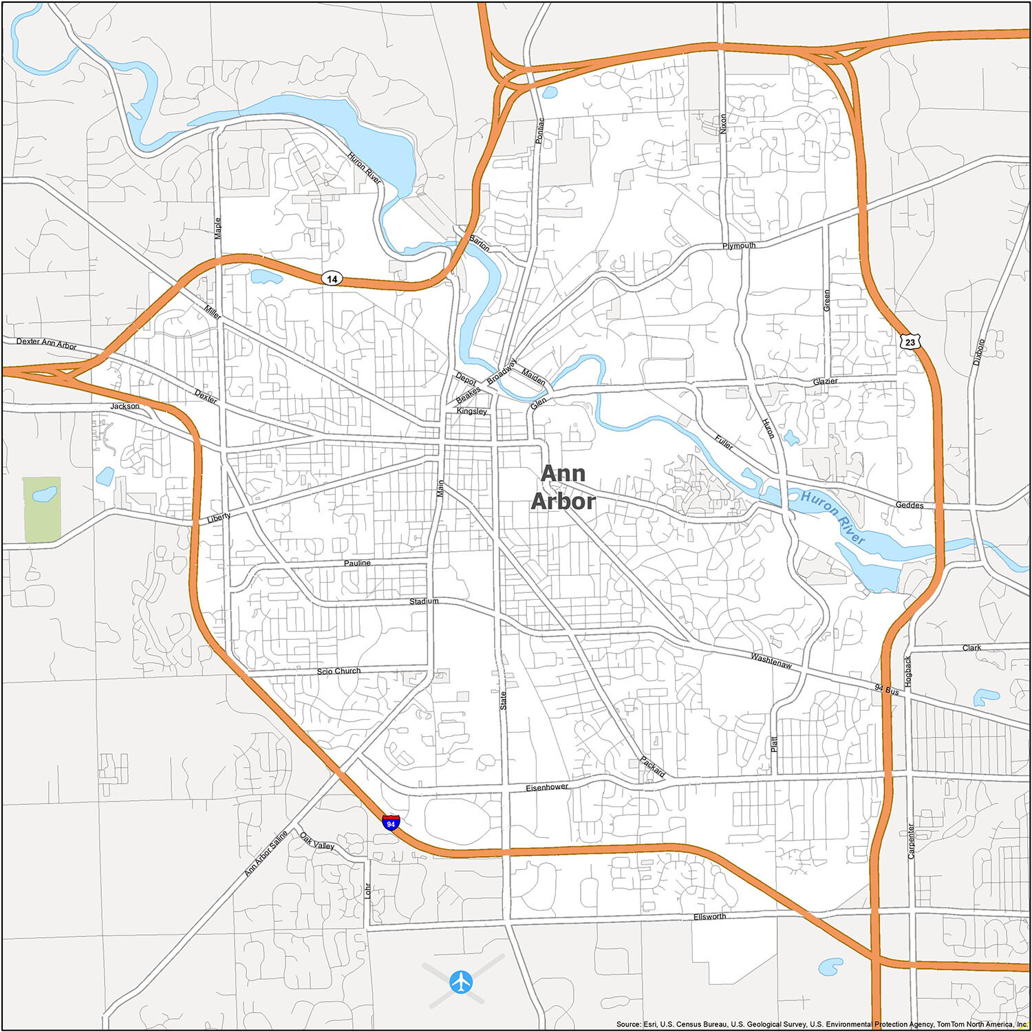
Ann Arbor location map. Where is Ann Arbor city?
History
Before founding as Ann Arbor
The lands of present-day Ann Arbor were part of Massachusetts‘s western claim after the French and Indian War (1754–1763), bounded by the latitudes of Massachusetts Bay Colony’s original charter, to which it was entitled by its interpretation of its original sea-to-sea grant from The British Crown. Massachusetts ceded the claim to the federal government as part of the Northwest Territory after April 19, 1785.
In about 1774, the Potawatomi founded two villages in the area of what is now Ann Arbor.
19th Century
Ann Arbor was founded in 1824 by land speculators John Allen and Elisha Walker Rumsey. On May 25, 1824, the town plat was registered with Wayne County as the Village of Annarbour, the earliest known use of the town’s name. Allen and Rumsey decided to name it for their wives, both named Ann, and for the stands of bur oak in the 640 acres (260 ha) of land they purchased for $800 from the federal government at $1.25 per acre. The local Ojibwa named the settlement kaw-goosh-kaw-nick, after the sound of Allen’s sawmill.
Ann Arbor became the seat of Washtenaw County in 1827, and was incorporated as a village in 1833. The Ann Arbor Land Company, a group of speculators, set aside 40 acres (16 ha) of undeveloped land and offered it to the state of Michigan as the site of the state capitol, but lost the bid to Lansing. In 1837, the property was accepted instead as the site of the University of Michigan.
Since the university’s establishment in the city in 1837, the histories of the University of Michigan and Ann Arbor have been closely linked. The town became a regional transportation hub in 1839 with the arrival of the Michigan Central Railroad, and a north–south railway connecting Ann Arbor to Toledo and other markets to the south was established in 1878. Throughout the 1840s and the 1850s settlers continued to come to Ann Arbor. While the earlier settlers were primarily of British ancestry, the newer settlers also consisted of Germans, Irish, and Black people. In 1851, Ann Arbor was chartered as a city, though the city showed a drop in population during the Depression of 1873. It was not until the early 1880s that Ann Arbor again saw robust growth, with new immigrants from Greece, Italy, Russia, and Poland.
20th Century
Ann Arbor saw increased growth in manufacturing, particularly in milling. Ann Arbor’s Jewish community also grew after the turn of the 20th century, and its first and oldest synagogue, Beth Israel Congregation, was established in 1916.
In 1960, Ann Arbor voters approved a $2.3 million bond issue to build the current city hall, which was designed by architect Alden B. Dow. The City Hall opened in 1963. In 1995, the building was renamed the Guy C. Larcom, Jr. Municipal Building in honor of the longtime city administrator who championed the building’s construction.
During the 1960s and 1970s, the city gained a reputation as an important center for liberal politics. Ann Arbor also became a locus for left-wing activism and anti-Vietnam War movement, as well as the student movement. The first major meetings of the national left-wing campus group Students for a Democratic Society took place in Ann Arbor in 1960; in 1965, the city was home to the first U.S. teach-in against the Vietnam War. During the ensuing 15 years, many countercultural and New Left enterprises sprang up and developed large constituencies within the city. These influences washed into municipal politics during the early and mid-1970s when three members of the Human Rights Party (HRP) won city council seats on the strength of the student vote. During their time on the council, HRP representatives fought for measures including pioneering antidiscrimination ordinances, measures decriminalizing marijuana possession, and a rent-control ordinance; many of these progressive organizations remain in effect today in modified form.
Two religious-conservative institutions were created in Ann Arbor; the Word of God (established in 1967), a charismatic inter-denominational movement; and the Thomas More Law Center (established in 1999).
Following a 1956 vote, the city of East Ann Arbor merged with Ann Arbor to encompass the eastern sections of the city.
21st Century
In the past several decades, Ann Arbor has grappled with the effects of sharply rising land values, gentrification, and urban sprawl stretching into outlying countryside. On November 4, 2003, voters approved a greenbelt plan under which the city government bought development rights on agricultural parcels of land adjacent to Ann Arbor to preserve them from sprawling development. Since then, a vociferous local debate has hinged on how and whether to accommodate and guide development within city limits. Ann Arbor consistently ranks in the “top places to live” lists published by various mainstream media outlets every year. In 2008, it was ranked by CNNMoney.com 27th out of 100 “America’s best small cities”. And in 2010, Forbes listed Ann Arbor as one of the most liveable cities in the United States.
In 2016, the city changed mayoral terms from two years to four. Until 2017, City Council held annual elections in which half of the seats (one from each ward) were elected to 2-year terms. These elections were staggered, with each ward having one of its seats up for election in odd years and its other seat up for election in even years. Beginning in 2018 the city council has had staggered elections to 4-year terms in even years. This means that half of the members (one from each ward) are elected in presidential election years, while the other half are elected in mid-term election years. To facilitate this change in scheduling, the 2017 election elected members to terms that lasted 3-years.
Ann Arbor Road Map
Ann Arbor, Michigan is a city surrounded by wilderness, where nature and culture meet. The city is known for its many universities, cultural events, and of course, its beer gardens. While the city is small in size, it has a lot to offer residents and visitors alike. To learn more about the city’s natural beauty and cultural opportunities, take a look at this map of Ann Arbor for your next getaway. Plus, don’t forget our Michigan road map for statewide travel.
Ann Arbor is served by a number of major highways, including Interstate 94, Highway 14, and Highway 23. Other major roads include Eisenhower Pky, Huron Pky, Ann Arbor, Saline Rd, Beakes St, Broadway St, Ellsworth Rd, Glen Ave, Huron St, Jackson Ave, Jackson Rd, Maiden Ln, Main St, Packard St, Plymouth Rd, Stadium Blvd, State St, and Washtenaw Ave. Visitors can also explore the city using smaller roads, such as Barton Dr, Depot St, Dexter Ave, Fuller Rd, Geddes Ave, Glazier Way, Green Rd, Huron River Dr, Kingsley St, Liberty St, Maple Rd, Miller Ave, Nixon Rd, Packard St, Pauline Blvd, Platt Rd, Pontiac Trl, Scio Church Rd, and State St.
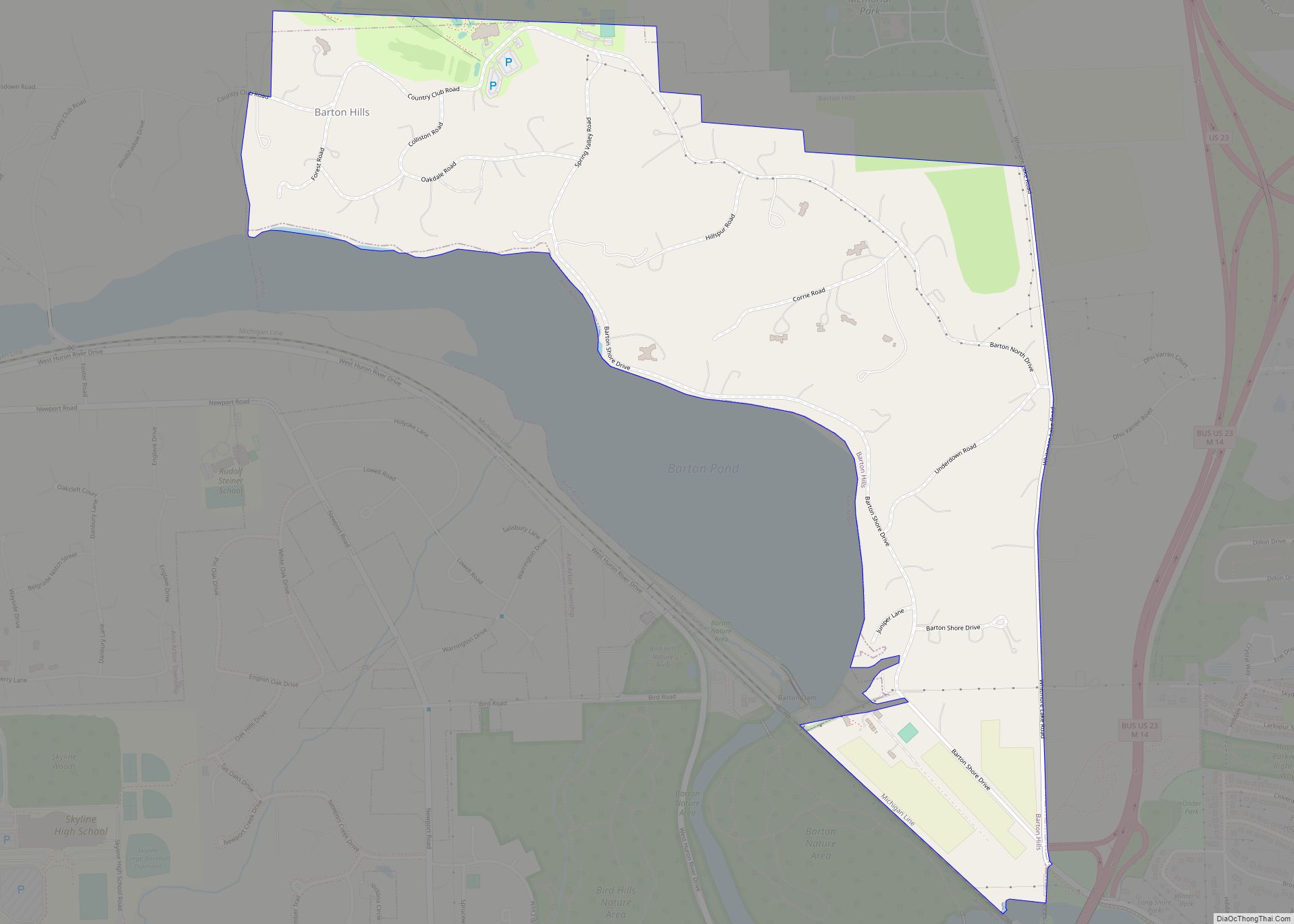
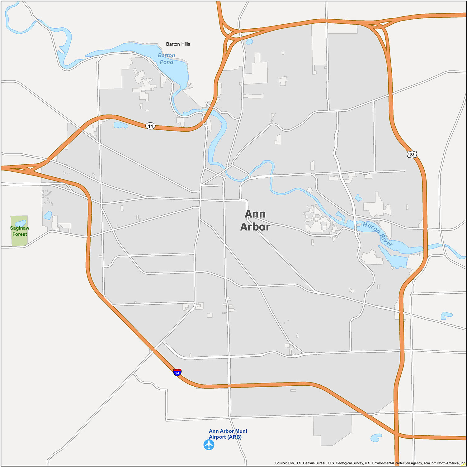
Ann Arbor, Michigan is a college town known for its vibrant arts scene, quaint downtown, world-class museums, and the University of Michigan. It is also home to some of the most beautiful fall colors in North America, making it a popular destination for autumnal getaways. Foodies who enjoy farm-to-table dining will love the local restaurants, which use fresh ingredients from the area. Ann Arbor Municipal Airport (ARB) is the local airport, while Barton Hills is the city’s Census Designated Place (CDP). The city is situated along the banks of the Huron River and Barton Pond, and the nearby Saginaw Forest is the perfect spot for outdoor activities.
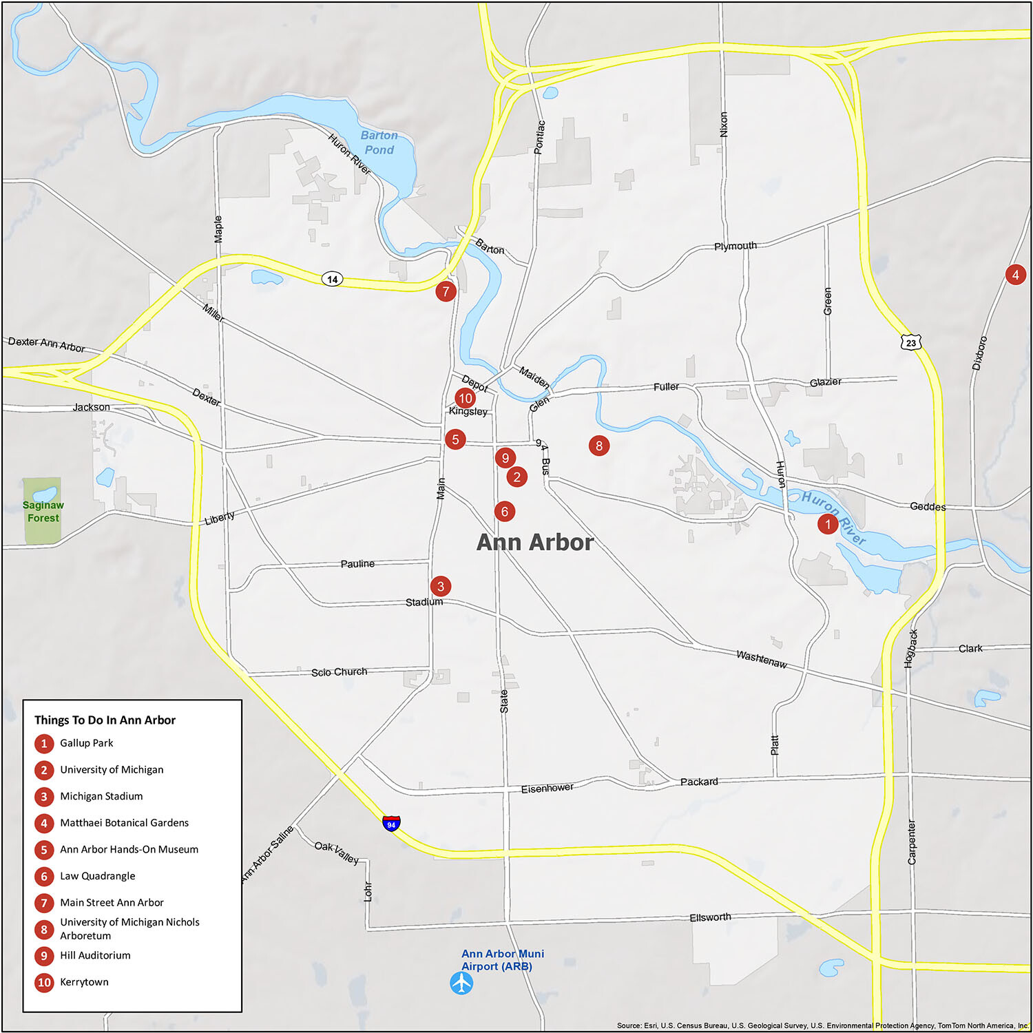
10 things to do in Ann Arbor city
Downtown Ann Arbor is a bustling hub of activity, with many shops, restaurants, and other attractions open throughout the day. It is also a popular spot for visitors and locals alike, thanks to its proximity to the University of Michigan’s campus and its beautiful parks like Gallup Park and Matthaei Botanical Gardens. Other popular destinations include Michigan Stadium, the Ann Arbor Hands-On Museum, the Law Quadrangle, Main Street Ann Arbor, the University of Michigan Nichols Arboretum, Hill Auditorium, and Kerrytown.
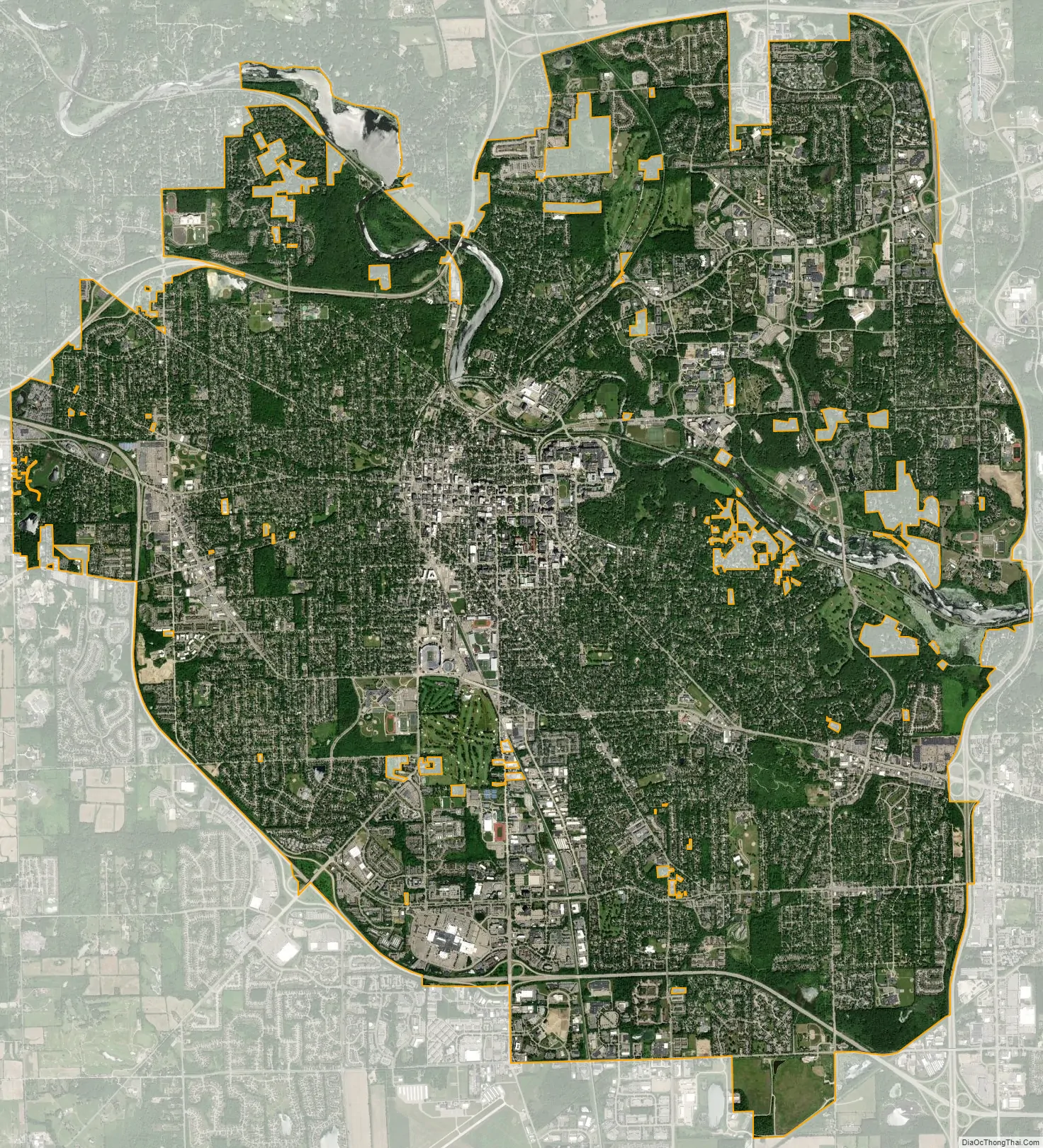
Ann Arbor city Satellite Map
Geography
Ann Arbor is located along the Huron River, which flows southeast through the city on its way to Lake Erie. It is the central core of the Ann Arbor, MI Metropolitan Statistical Area, which is comprised of the whole of Washtenaw County, but is also a part of the Metro Detroit Combined Statistical Area designated by the U.S. Census Bureau. While it borders only Townships, the built-up nature of the sections of Pittsfield and Ypsilanti townships between Ann Arbor and the city of Ypsilanti make the two effectively a single urban area.
Landscape
The landscape of Ann Arbor consists of hills and valleys, with the terrain becoming steeper near the Huron River. The elevation ranges from about 750 feet (230 m) along the Huron River to 1,015 feet (309 m) on the city’s west side, near the intersection of Maple Road and Pauline Blvd. Ann Arbor Municipal Airport, which is south of the city at 42°13.38′N 83°44.74′W / 42.22300°N 83.74567°W / 42.22300; -83.74567, has an elevation of 839 feet (256 m).
Ann Arbor is nicknamed “Tree Town,” both due to its name and to the dense forestation of its parks and residential areas. The city contains more than 50,000 trees along its streets and an equal number in parks. In recent years, the emerald ash borer has destroyed many of the city’s approximately 10,500 ash trees. The city contains 157 municipal parks ranging from small neighborhood green spots to large recreation areas. Several large city parks and a university park border sections of the Huron River. Fuller Recreation Area, near the University Hospital complex, contains sports fields, pedestrian and bike paths, and swimming pools. The Nichols Arboretum, owned by the University of Michigan, is a 123-acre (50 ha) arboretum that contains hundreds of plant and tree species. It is on the city’s east side, near the university’s Central Campus. Located across the Huron River just beyond the university’s North Campus is the university’s Matthaei Botanical Gardens, which contains 300 acres of gardens and a large tropical conservatory as well as a wildflower garden specializing in the vegetation of the southern Great Lakes Region.
Cityscape
The cityscape of Ann Arbor is heavily influenced by the University of Michigan, with 22% of downtown and 9.4% of the total land owned by the university. The downtown Central Campus contains some of the oldest extant structures in the city — including the President’s House, built in 1840 — and separates the South University District from the other three downtown commercial districts. These other three districts, Kerrytown, State Street, and Main Street are contiguous near the northwestern corner of the university.
Three commercial areas south of downtown include the areas near I-94 and Ann Arbor-Saline Road, Briarwood Mall, and the South Industrial area. Other commercial areas include the Arborland/Washtenaw Avenue and Packard Road merchants on the east side, the Plymouth Road area in the northeast, and the Westgate/West Stadium areas on the west side. Downtown contains a mix of 19th- and early-20th-century structures and modern-style buildings, as well as a farmers’ market in the Kerrytown district. The city’s commercial districts are composed mostly of two- to four-story structures, although downtown and the area near Briarwood Mall contain a small number of high-rise buildings.
Ann Arbor’s residential neighborhoods contain architectural styles ranging from classic 19th- and early 20th-century designs to ranch-style houses. Among these homes are a number of kit houses built in the early 20th century. Contemporary-style houses are farther from the downtown district. Surrounding the University of Michigan campus are houses and apartment complexes occupied primarily by student renters. Tower Plaza, a 26-story condominium building located between the University of Michigan campus and downtown, is the tallest building in Ann Arbor. The 19th-century buildings and streetscape of the Old West Side neighborhood have been preserved virtually intact; in 1972, the district was listed on the National Register of Historic Places, and it is further protected by city ordinances and a nonprofit preservation group.
Climate
Ann Arbor has a typically Midwestern humid continental climate (Köppen Dfa), which is influenced by the Great Lakes. There are four distinct seasons: winters are cold and snowy, with average highs around 34 °F (1 °C). Summers are warm to hot and humid, with average highs around 81 °F (27 °C) and with slightly more precipitation. Spring and autumn are transitional between the two. The area experiences lake effect weather, primarily in the form of increased cloudiness during late fall and early winter. The monthly daily average temperature in July is 72.6 °F (22.6 °C), while the same figure for January is 24.5 °F (−4.2 °C). Temperatures reach or exceed 90 °F (32 °C) on 10 days, and drop to or below 0 °F (−18 °C) on 4.6 nights. Precipitation tends to be the heaviest during the summer months, but most frequent during winter. Snowfall, which normally occurs from November to April but occasionally starts in October, averages 58 inches (147 cm) per season. The lowest recorded temperature was −23 °F (−31 °C) on February 11, 1885, and the highest recorded temperature was 105 °F (41 °C) on July 24, 1934.
See also
Map of Michigan State and its subdivision:- Alcona
- Alger
- Allegan
- Alpena
- Antrim
- Arenac
- Baraga
- Barry
- Bay
- Benzie
- Berrien
- Branch
- Calhoun
- Cass
- Charlevoix
- Cheboygan
- Chippewa
- Clare
- Clinton
- Crawford
- Delta
- Dickinson
- Eaton
- Emmet
- Genesee
- Gladwin
- Gogebic
- Grand Traverse
- Gratiot
- Hillsdale
- Houghton
- Huron
- Ingham
- Ionia
- Iosco
- Iron
- Isabella
- Jackson
- Kalamazoo
- Kalkaska
- Kent
- Keweenaw
- Lake
- Lake Hurron
- Lake Michigan
- Lake St. Clair
- Lake Superior
- Lapeer
- Leelanau
- Lenawee
- Livingston
- Luce
- Mackinac
- Macomb
- Manistee
- Marquette
- Mason
- Mecosta
- Menominee
- Midland
- Missaukee
- Monroe
- Montcalm
- Montmorency
- Muskegon
- Newaygo
- Oakland
- Oceana
- Ogemaw
- Ontonagon
- Osceola
- Oscoda
- Otsego
- Ottawa
- Presque Isle
- Roscommon
- Saginaw
- Saint Clair
- Saint Joseph
- Sanilac
- Schoolcraft
- Shiawassee
- Tuscola
- Van Buren
- Washtenaw
- Wayne
- Wexford
- Alabama
- Alaska
- Arizona
- Arkansas
- California
- Colorado
- Connecticut
- Delaware
- District of Columbia
- Florida
- Georgia
- Hawaii
- Idaho
- Illinois
- Indiana
- Iowa
- Kansas
- Kentucky
- Louisiana
- Maine
- Maryland
- Massachusetts
- Michigan
- Minnesota
- Mississippi
- Missouri
- Montana
- Nebraska
- Nevada
- New Hampshire
- New Jersey
- New Mexico
- New York
- North Carolina
- North Dakota
- Ohio
- Oklahoma
- Oregon
- Pennsylvania
- Rhode Island
- South Carolina
- South Dakota
- Tennessee
- Texas
- Utah
- Vermont
- Virginia
- Washington
- West Virginia
- Wisconsin
- Wyoming