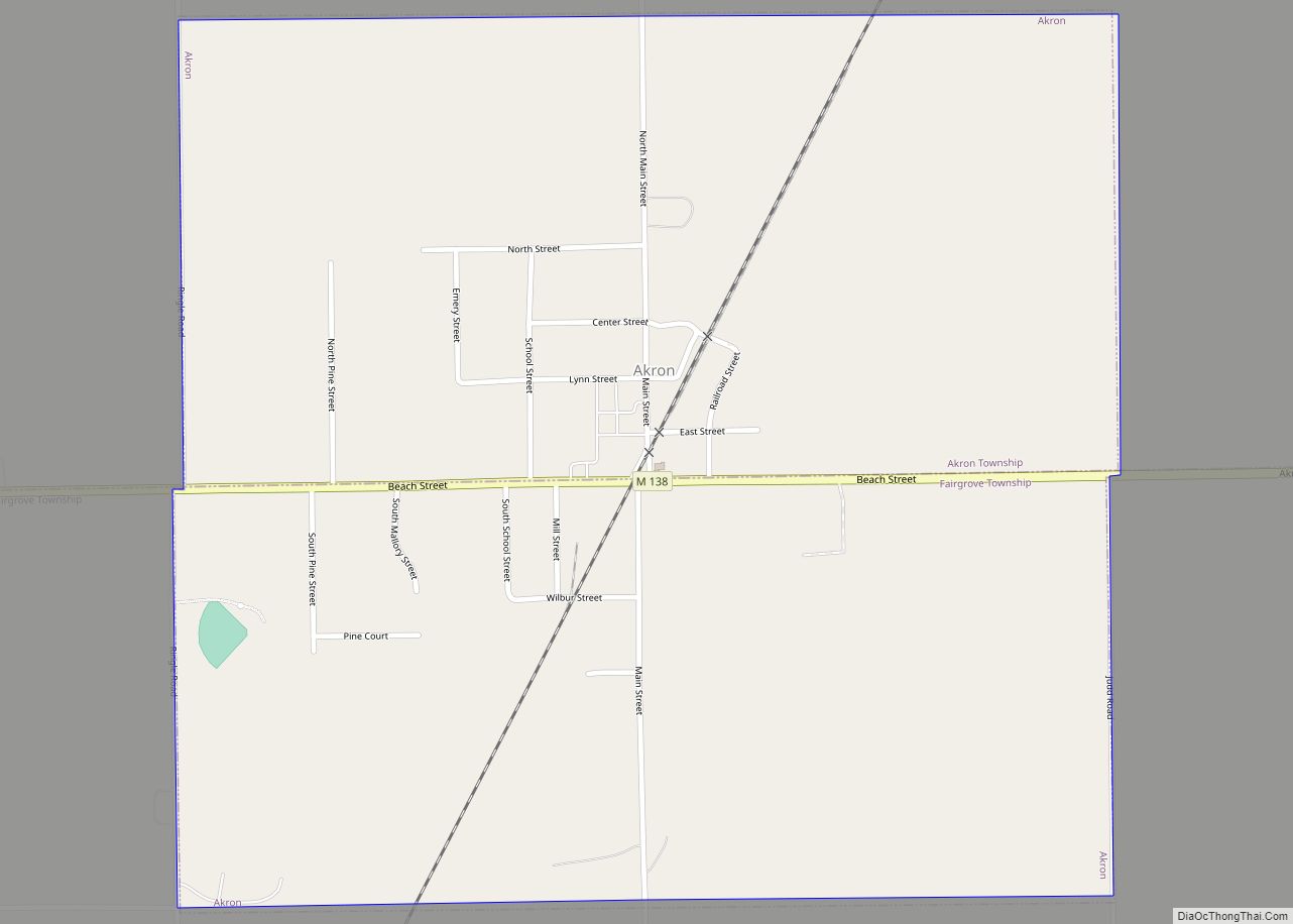
Akron is a village in Tuscola County of the U.S. state of Michigan. The population was 349 at the 2020 census.
The village is located on the boundary between Akron Township on the north and Fairgrove Township on the south, with the village area approximately evenly split between the two. The Akron post office, with ZIP code 48701, also serves the southern and western portions of Akron Township, as well as portions of northern Fairgrove Township, most of eastern Wisner Township, and smaller portions of western Columbia Township and Almer Township.
| Name: | Akron village |
|---|---|
| LSAD Code: | 47 |
| LSAD Description: | village (suffix) |
| State: | Michigan |
| County: | Tuscola County |
| Elevation: | 640 ft (195 m) |
| Total Area: | 0.94 sq mi (2.44 km²) |
| Land Area: | 0.94 sq mi (2.44 km²) |
| Water Area: | 0.00 sq mi (0.00 km²) |
| Total Population: | 349 |
| Population Density: | 370.49/sq mi (143.05/km²) |
| ZIP code: | 48701 |
| Area code: | 989 |
| FIPS code: | 2600700 |
| GNISfeature ID: | 2397920 |
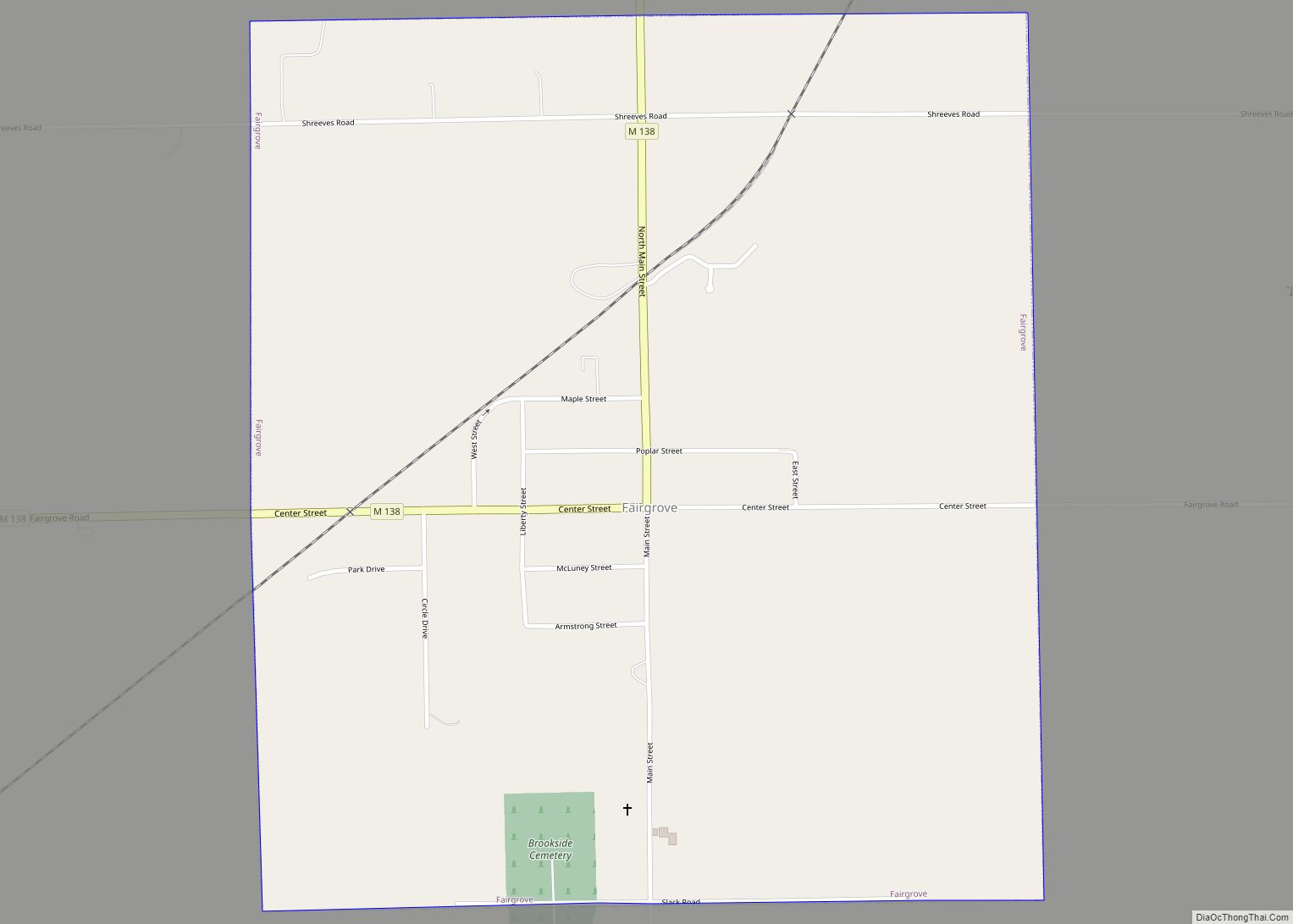
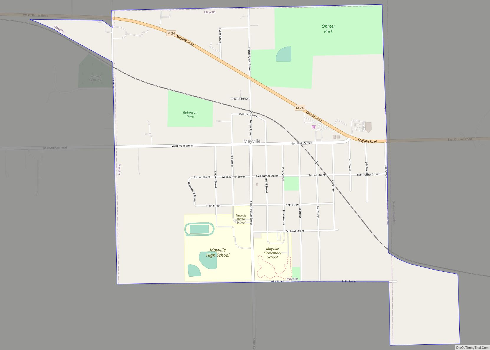
Online Interactive Map
Click on ![]() to view map in "full screen" mode.
to view map in "full screen" mode.
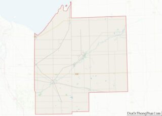
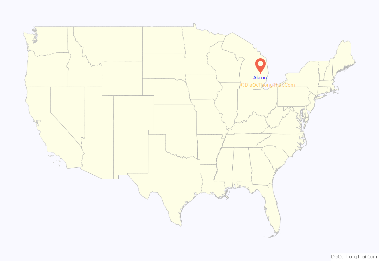
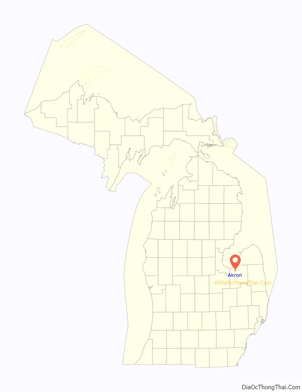
Akron location map. Where is Akron village?
History
Akron was settled by Charles H. Beach in 1854. It was originally known as Beach’s Corners. It was renamed Akron at the time a post office was established in 1857.
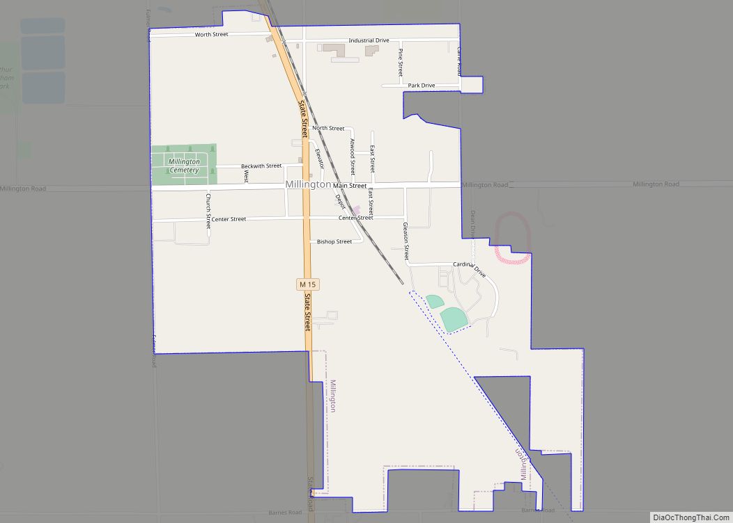
Akron Road Map

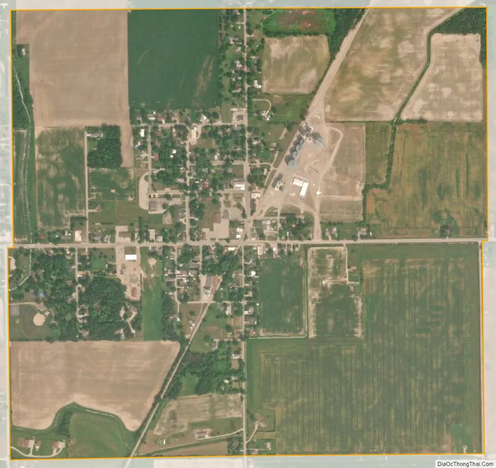
Akron city Satellite Map
Geography
According to the United States Census Bureau, the village has a total area of 0.94 square miles (2.43 km), all land.
See also
Map of Michigan State and its subdivision:- Alcona
- Alger
- Allegan
- Alpena
- Antrim
- Arenac
- Baraga
- Barry
- Bay
- Benzie
- Berrien
- Branch
- Calhoun
- Cass
- Charlevoix
- Cheboygan
- Chippewa
- Clare
- Clinton
- Crawford
- Delta
- Dickinson
- Eaton
- Emmet
- Genesee
- Gladwin
- Gogebic
- Grand Traverse
- Gratiot
- Hillsdale
- Houghton
- Huron
- Ingham
- Ionia
- Iosco
- Iron
- Isabella
- Jackson
- Kalamazoo
- Kalkaska
- Kent
- Keweenaw
- Lake
- Lake Hurron
- Lake Michigan
- Lake St. Clair
- Lake Superior
- Lapeer
- Leelanau
- Lenawee
- Livingston
- Luce
- Mackinac
- Macomb
- Manistee
- Marquette
- Mason
- Mecosta
- Menominee
- Midland
- Missaukee
- Monroe
- Montcalm
- Montmorency
- Muskegon
- Newaygo
- Oakland
- Oceana
- Ogemaw
- Ontonagon
- Osceola
- Oscoda
- Otsego
- Ottawa
- Presque Isle
- Roscommon
- Saginaw
- Saint Clair
- Saint Joseph
- Sanilac
- Schoolcraft
- Shiawassee
- Tuscola
- Van Buren
- Washtenaw
- Wayne
- Wexford
- Alabama
- Alaska
- Arizona
- Arkansas
- California
- Colorado
- Connecticut
- Delaware
- District of Columbia
- Florida
- Georgia
- Hawaii
- Idaho
- Illinois
- Indiana
- Iowa
- Kansas
- Kentucky
- Louisiana
- Maine
- Maryland
- Massachusetts
- Michigan
- Minnesota
- Mississippi
- Missouri
- Montana
- Nebraska
- Nevada
- New Hampshire
- New Jersey
- New Mexico
- New York
- North Carolina
- North Dakota
- Ohio
- Oklahoma
- Oregon
- Pennsylvania
- Rhode Island
- South Carolina
- South Dakota
- Tennessee
- Texas
- Utah
- Vermont
- Virginia
- Washington
- West Virginia
- Wisconsin
- Wyoming