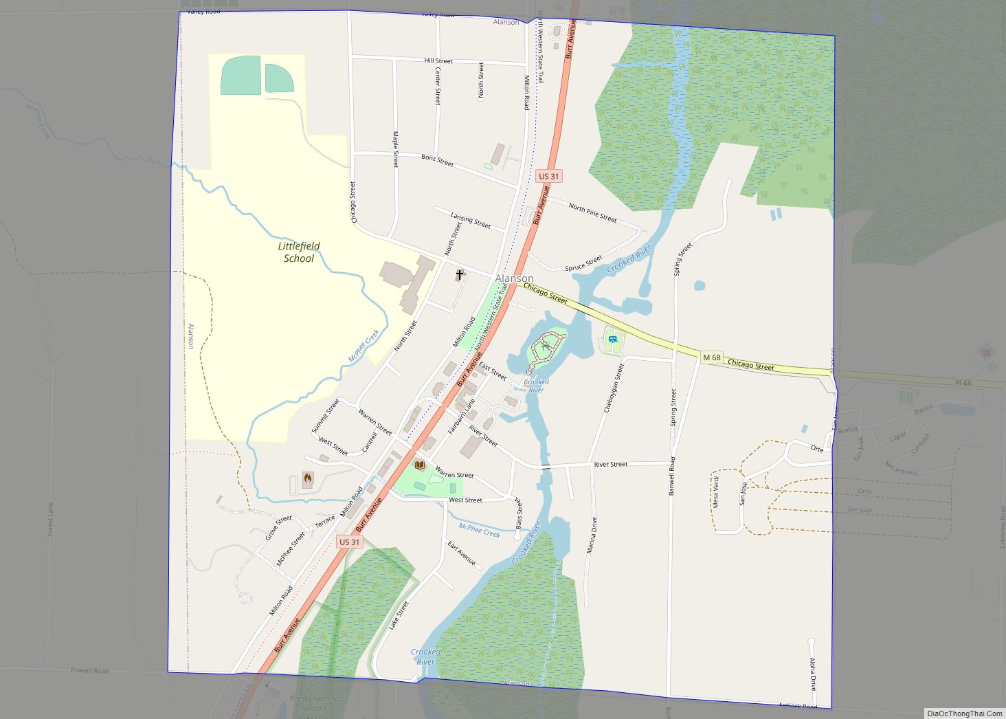
Alanson (/əˈlæn.sən/ ə-LAN-sən) is a village in Emmet County in the U.S. state of Michigan. The population was 778 at the 2020 census.
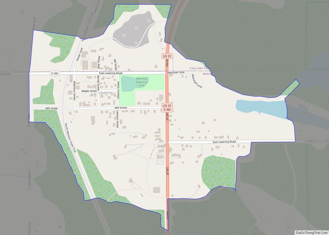
Alanson is in Littlefield Township on U.S. Highway 31 at the junction with M-68. Petoskey is about 12 miles (19 km) southwest on US 31 and Mackinaw City and the Mackinac Bridge are about 25 miles (40 km) north. Interstate 75 is about 11 miles (18 km) to the east on M-68 at Indian River.
Alanson was first settled in 1875. The Alanson post office opened with the name Hinman on January 17, 1877, and changed to Alanson on June 22, 1882.
| Name: | Alanson village |
|---|---|
| LSAD Code: | 47 |
| LSAD Description: | village (suffix) |
| State: | Michigan |
| County: | Emmet County |
| Incorporated: | 1905 |
| Elevation: | 600 ft (200 m) |
| Total Area: | 1.02 sq mi (2.63 km²) |
| Land Area: | 0.98 sq mi (2.55 km²) |
| Water Area: | 0.03 sq mi (0.08 km²) |
| Total Population: | 778 |
| Population Density: | 789.85/sq mi (304.90/km²) |
| Area code: | 231 |
| FIPS code: | 2600860 |
| GNISfeature ID: | 2397921 |
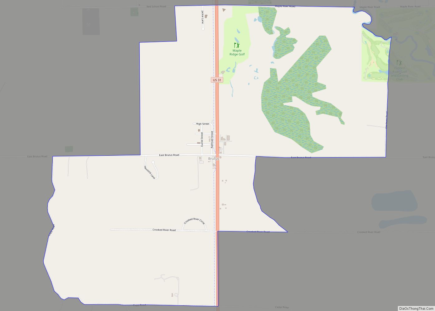
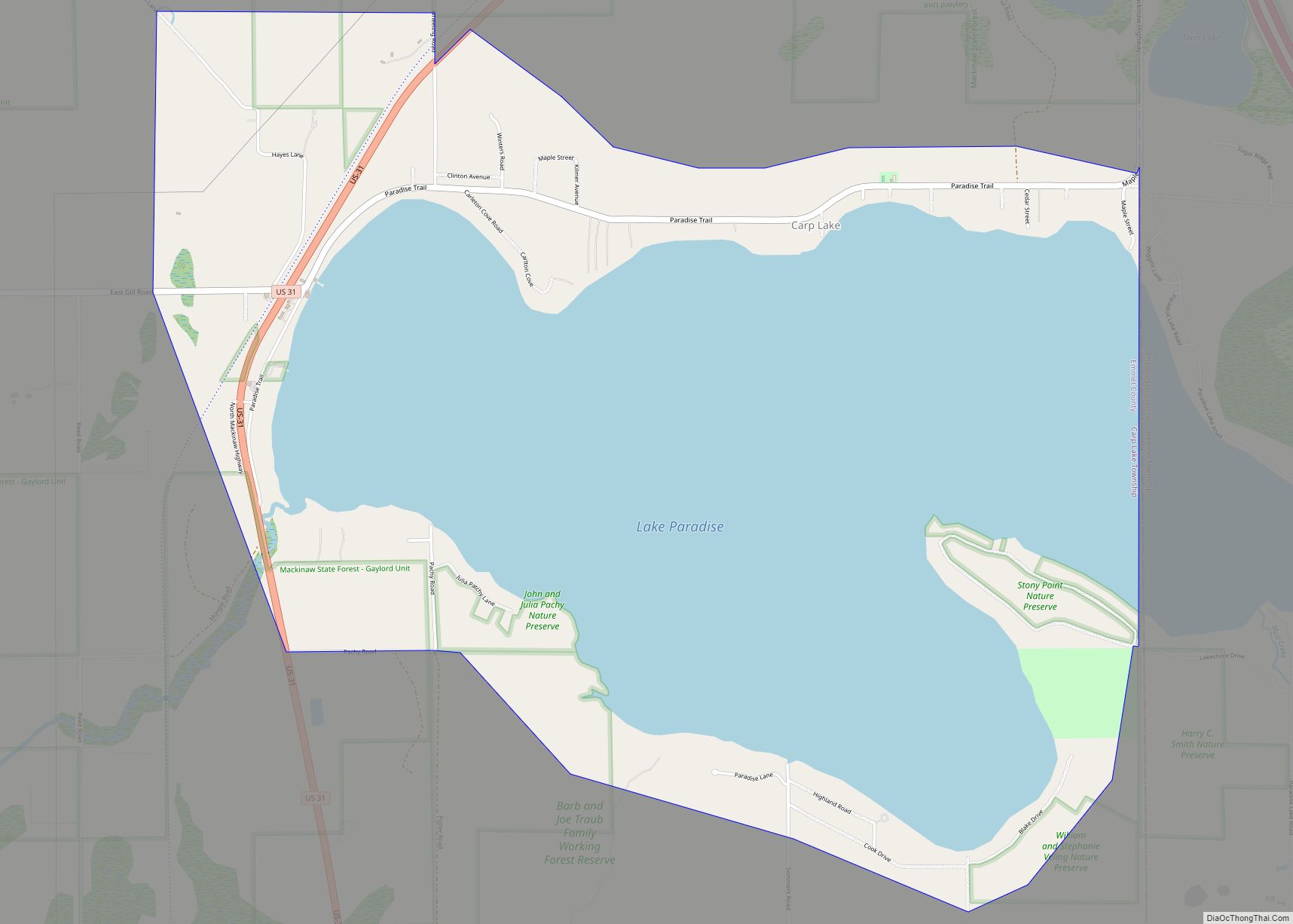
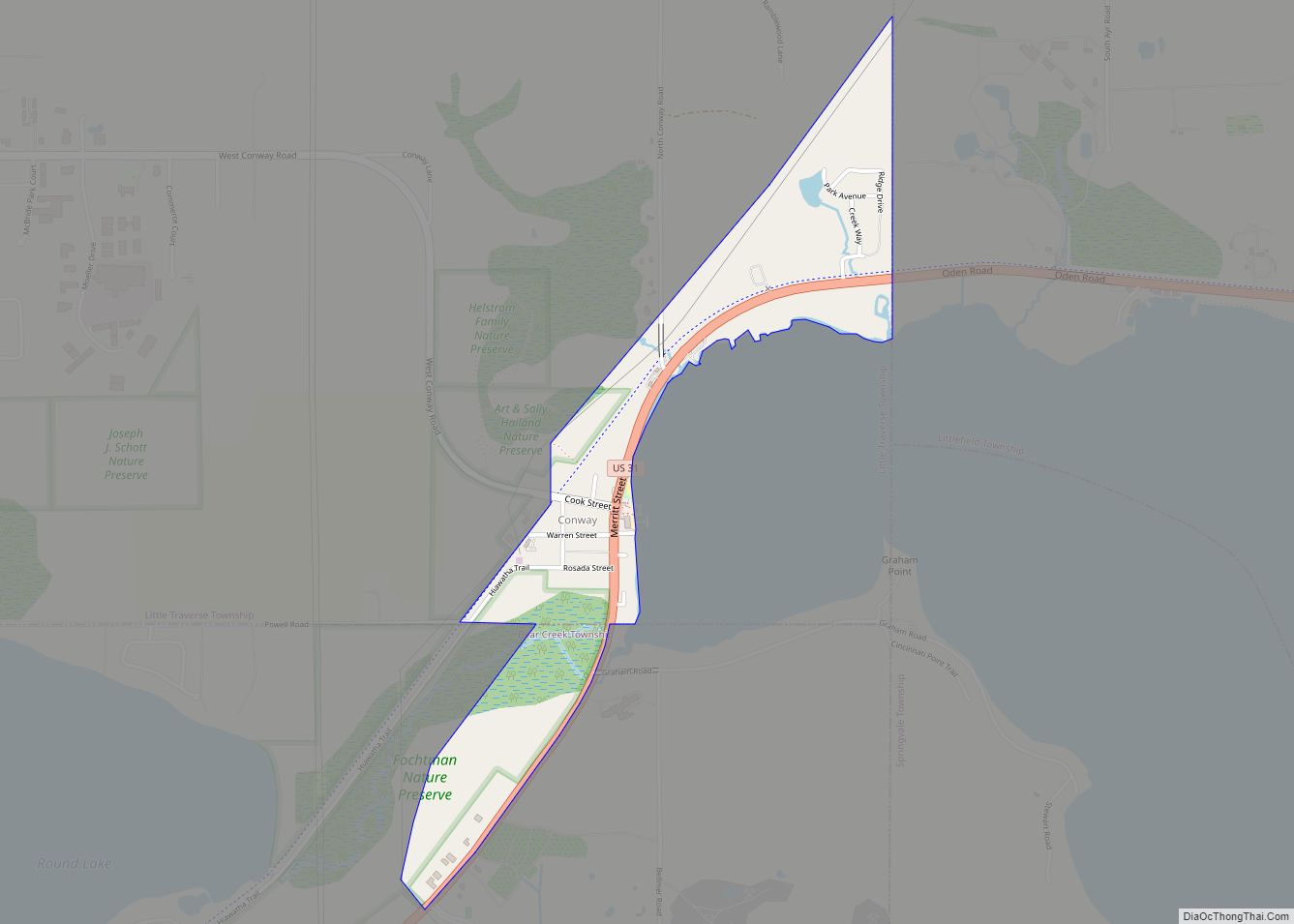
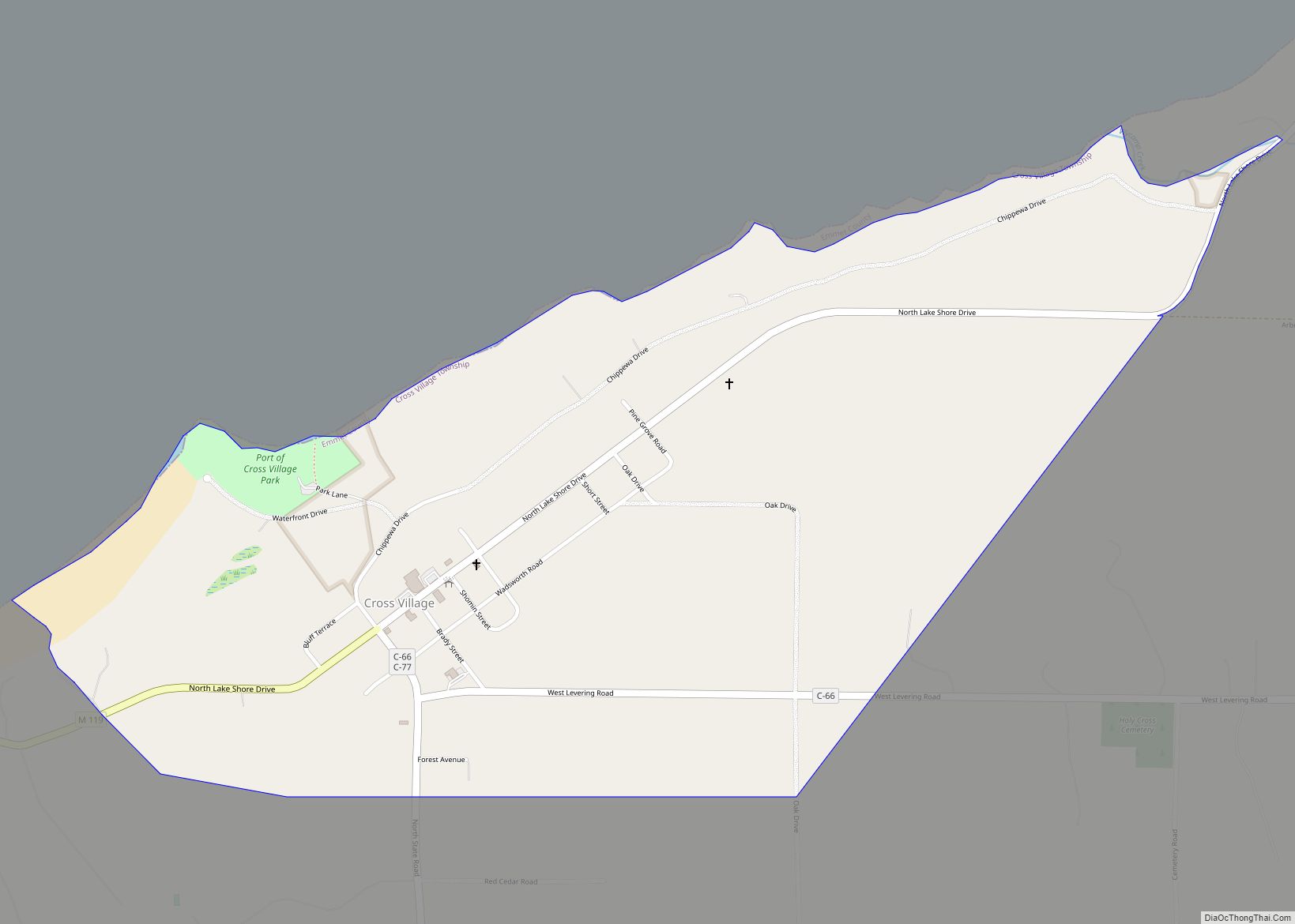
Online Interactive Map
Click on ![]() to view map in "full screen" mode.
to view map in "full screen" mode.
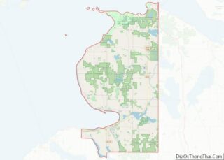
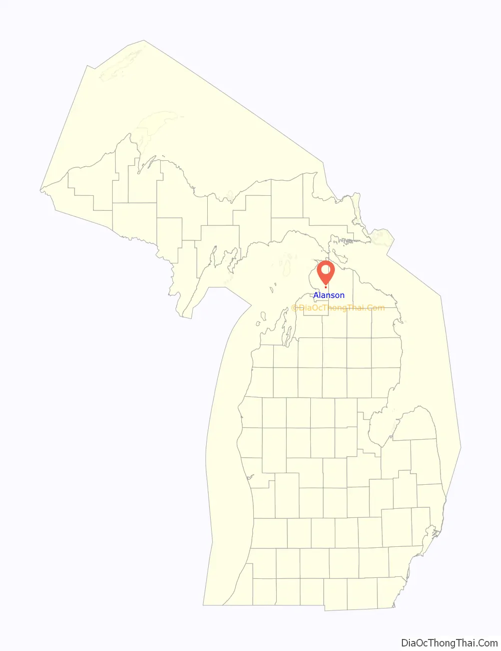
Alanson location map. Where is Alanson village?

Alanson Road Map
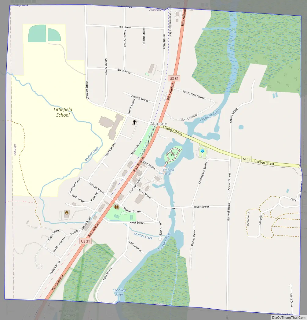
Alanson city Satellite Map

Geography
According to the United States Census Bureau, the village has a total area of 1.02 square miles (2.64 km), of which 0.99 square miles (2.56 km) is land and 0.03 square miles (0.08 km) is water.
See also
Map of Michigan State and its subdivision:- Alcona
- Alger
- Allegan
- Alpena
- Antrim
- Arenac
- Baraga
- Barry
- Bay
- Benzie
- Berrien
- Branch
- Calhoun
- Cass
- Charlevoix
- Cheboygan
- Chippewa
- Clare
- Clinton
- Crawford
- Delta
- Dickinson
- Eaton
- Emmet
- Genesee
- Gladwin
- Gogebic
- Grand Traverse
- Gratiot
- Hillsdale
- Houghton
- Huron
- Ingham
- Ionia
- Iosco
- Iron
- Isabella
- Jackson
- Kalamazoo
- Kalkaska
- Kent
- Keweenaw
- Lake
- Lake Hurron
- Lake Michigan
- Lake St. Clair
- Lake Superior
- Lapeer
- Leelanau
- Lenawee
- Livingston
- Luce
- Mackinac
- Macomb
- Manistee
- Marquette
- Mason
- Mecosta
- Menominee
- Midland
- Missaukee
- Monroe
- Montcalm
- Montmorency
- Muskegon
- Newaygo
- Oakland
- Oceana
- Ogemaw
- Ontonagon
- Osceola
- Oscoda
- Otsego
- Ottawa
- Presque Isle
- Roscommon
- Saginaw
- Saint Clair
- Saint Joseph
- Sanilac
- Schoolcraft
- Shiawassee
- Tuscola
- Van Buren
- Washtenaw
- Wayne
- Wexford
- Alabama
- Alaska
- Arizona
- Arkansas
- California
- Colorado
- Connecticut
- Delaware
- District of Columbia
- Florida
- Georgia
- Hawaii
- Idaho
- Illinois
- Indiana
- Iowa
- Kansas
- Kentucky
- Louisiana
- Maine
- Maryland
- Massachusetts
- Michigan
- Minnesota
- Mississippi
- Missouri
- Montana
- Nebraska
- Nevada
- New Hampshire
- New Jersey
- New Mexico
- New York
- North Carolina
- North Dakota
- Ohio
- Oklahoma
- Oregon
- Pennsylvania
- Rhode Island
- South Carolina
- South Dakota
- Tennessee
- Texas
- Utah
- Vermont
- Virginia
- Washington
- West Virginia
- Wisconsin
- Wyoming