Sterling Heights is a city in Macomb County of the U.S. state of Michigan, and one of Detroit’s core suburbs. As of the 2020 Census, the city had a total population of 134,346. It is the second largest suburb in Metro Detroit, and the fourth largest city in Michigan.
| Name: | Sterling Heights city |
|---|---|
| LSAD Code: | 25 |
| LSAD Description: | city (suffix) |
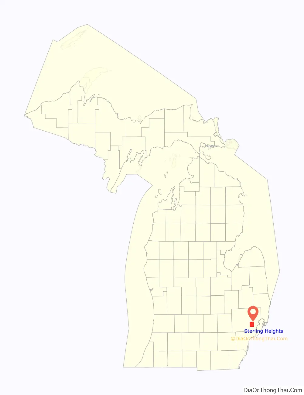
| State: | Michigan |
| County: | Macomb County |
| Incorporated: | 1968 (city) |
| Elevation: | 614 ft (187 m) |
| Total Area: | 36.72 sq mi (95.10 km²) |
| Land Area: | 36.45 sq mi (94.40 km²) |
| Water Area: | 0.27 sq mi (0.70 km²) |
| Total Population: | 134,346 |
| Population Density: | 3,686.06/sq mi (1,423.18/km²) |
| Area code: | 586 |
| FIPS code: | 2676460 |
| GNISfeature ID: | 0638798 |
Online Interactive Map
Click on ![]() to view map in "full screen" mode.
to view map in "full screen" mode.
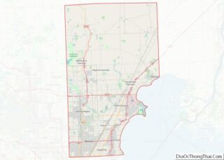
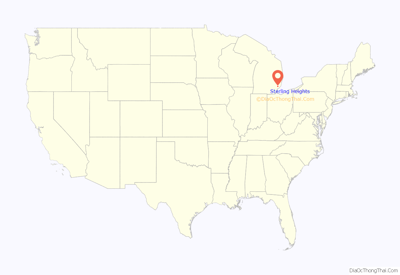
Sterling Heights location map. Where is Sterling Heights city?
History
As a result of the War of 1812 and the 1817 Treaty of Fort Meigs, the area of Michigan Territory which now makes up Sterling Heights was first surveyed by Deputy Surveyor Joseph Wampler; his survey was approved on February 20, 1818. Wampler had been one of two deputy surveyors of Perrysburg, Ohio, in 1816.
Originally created as part of Shelby Township in April 1827, it was broken off as Jefferson Township in March 1835. In March 1838, it was renamed Sterling Township.
Until the 1950s, Sterling Township was an agricultural area, largely devoted to growing rhubarb and other crops sold in Detroit. Road improvements led to decreased commute times and lower costs for the delivery of goods and services to and from businesses. The population increased when suburban homes were built for the workers in metropolitan Detroit’s booming automobile industry. There was already a small village named Sterling in Arenac County. So when Sterling Heights was incorporated as a city in 1968, the word “Heights” was added to the township name to satisfy a state law that prevents incorporated municipalities from having the same name.
Gerald Donovan became the first mayor of the city and F. James Dunlop became the first mayor pro-tem. In the 1960s and 1970s, many residents came to live in Sterling Heights to work in automobile plants operated by Chrysler and Ford. Lakeside Mall opened in Sterling Heights in 1976.
The city is home to many groups of immigrants. It has received many people of eastern European origins, including ethnic Albanians, Bosnians, Croatians, Macedonians, Montenegrins, Poles, Serbians and Slovenians. After the 2003 U.S.-Iraqi War, millions of Iraqi citizens were displaced, particularly Iraqi Christians (Chaldean and Assyrian). Of these, 30,000-50,000 resettled in Sterling Heights, giving parts of the city the nickname “Little Nineveh”, especially around 15 Mile Road and Ryan.
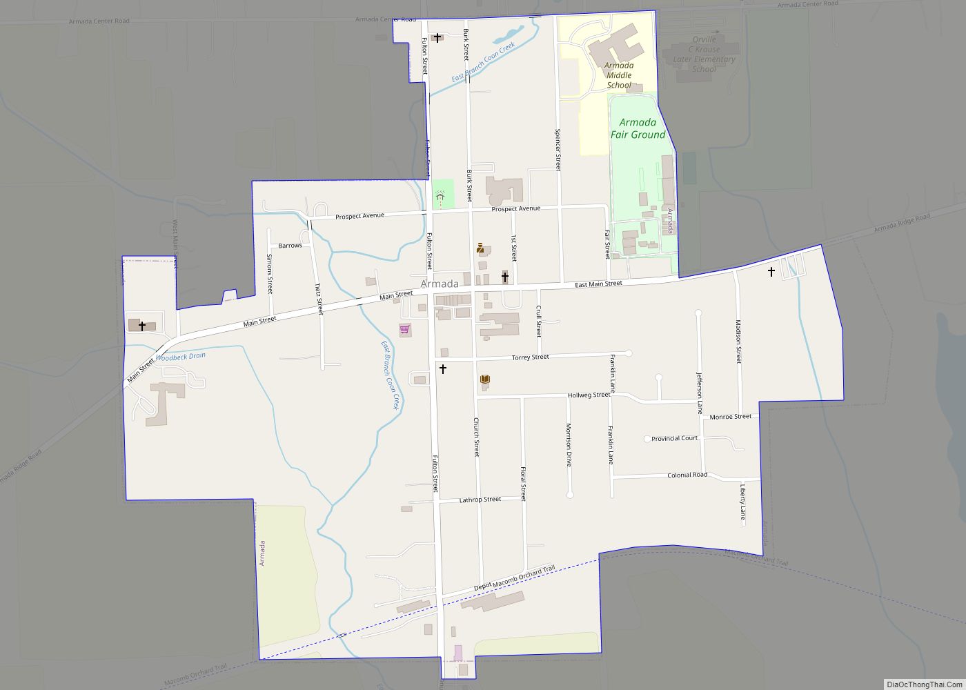
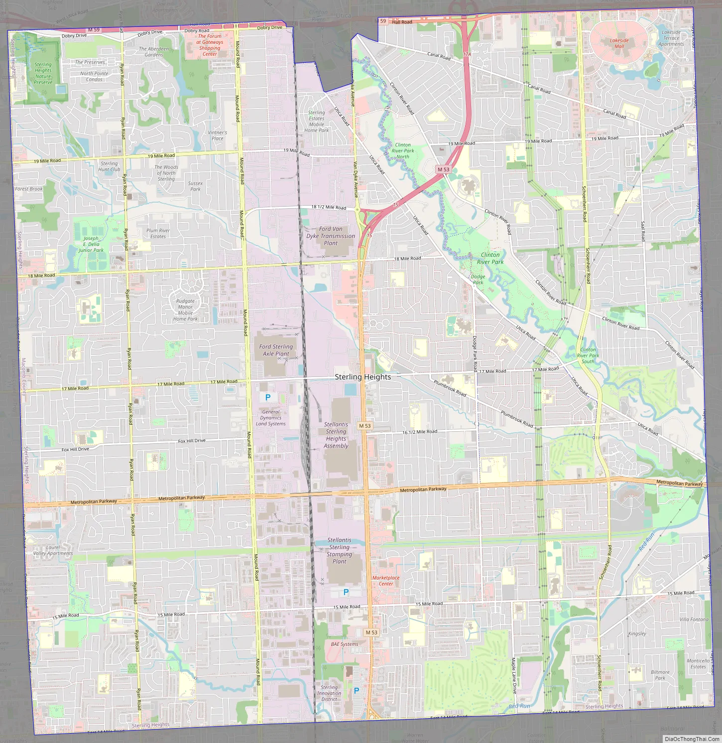
Sterling Heights Road Map
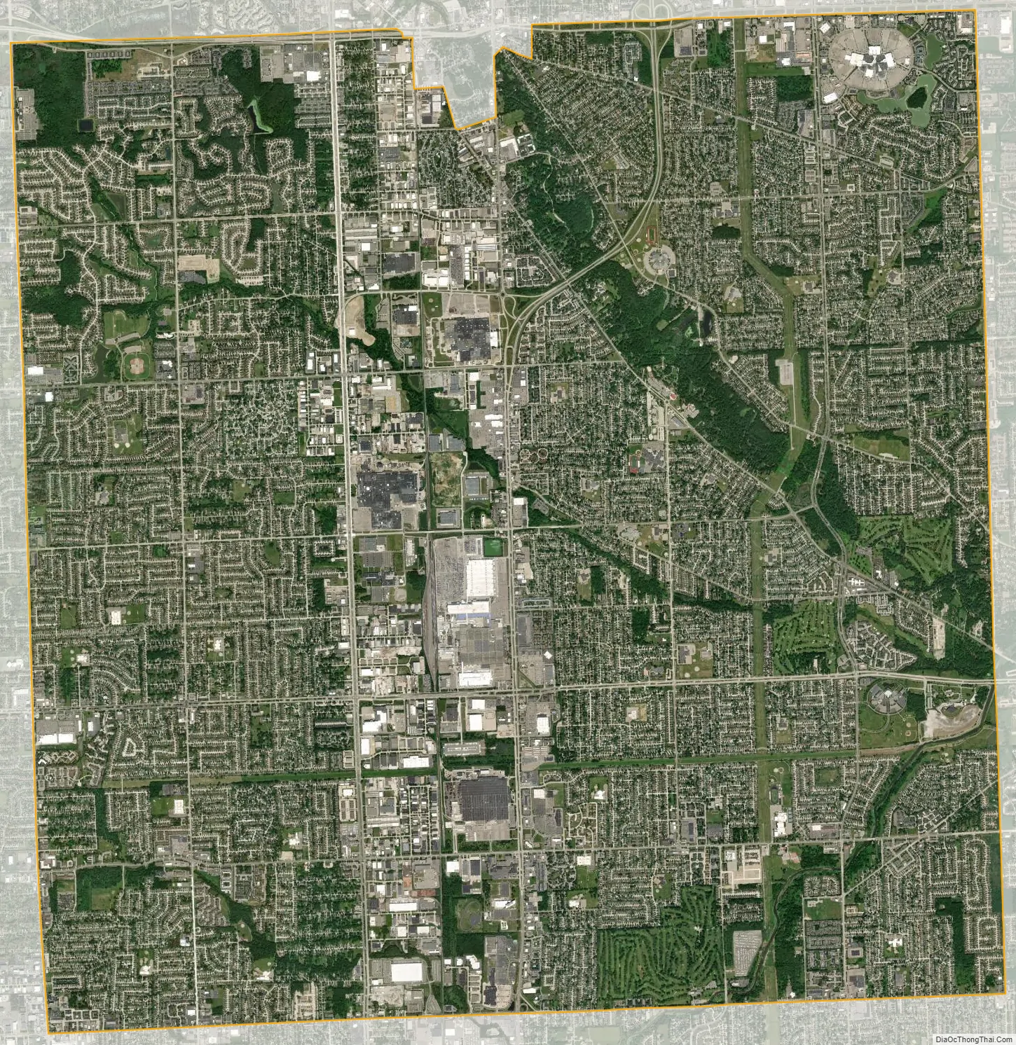
Sterling Heights city Satellite Map
Geography
- According to the United States Census Bureau, the city has a total area of 36.80 square miles (95.31 km), of which 36.51 square miles (94.56 km) is land and 0.29 square miles (0.75 km) is water.
- Sterling Heights is part of the Clinton River watershed, and branches of the river flow through the city.
Sterling Heights is a second-ring suburb, 16 miles (26 km) from Downtown Detroit. The city’s southern border is 6 miles (9.7 km) from Detroit’s northern border. The shape of the city is 6 miles (9.7 km) long and 6 miles wide.
Climate
Sterling Heights features a humid continental climate (Köppen: Dfa). Summers are somewhat hot with temperatures exceeding 90 °F (32 °C) on average 8.6 days. Winters are cold, with temperatures not rising above freezing on 39.1 days annually, while dropping to or below 0 °F (−18 °C) on average 1.2 days a year.
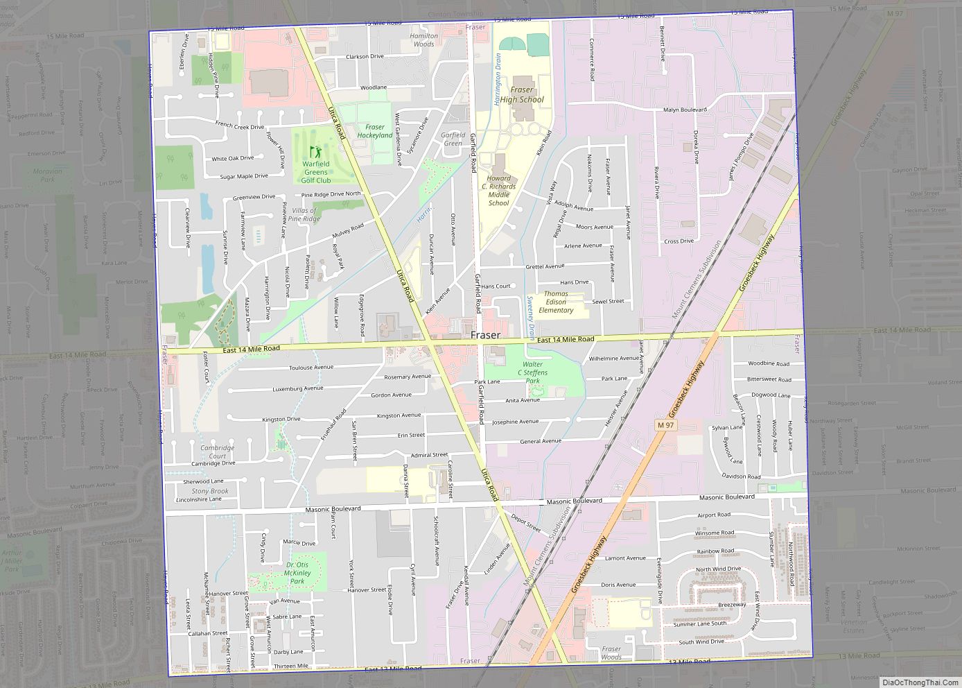
Neighboring cities/towns
Main highways
Sterling Heights sits on two main thoroughfares:
- M-53 commonly called Van Dyke Avenue or the Van Dyke Freeway (they split in the city, however, and rejoin to its north), which leads north into The Thumb.
- M-59, commonly called Hall Road once the freeway ends—which is the east–west connector from just north of Mount Clemens, through Utica as a surface road, and then becomes a limited access freeway to Pontiac, Michigan, being the main northern connector between Macomb County and Oakland County. In Sterling Heights, large areas are devoted to retail and commercial development (e.g., Lakeside Mall).
- Mound Road is an important north–south artery that runs continuously through the city. Overall, the road starts south in Hamtramck and runs up to 32 Mile Road in Romeo. The road ends briefly at River Bends Park in Shelby Township (becoming Auburn Road), and continues just north of 22 Mile Road.
- East-west travel is mainly on the “mile roads,” beginning at 14 Mile Road through 20 Mile Road (M-59). 16 Mile Road, also known as Metro Parkway, is another major “mile road”. See Roads and freeways in metropolitan Detroit.
- Utica Road is an important diagonal connector that crisscrosses the city from southeast to northwest, going through the intersection of Dodge Park Road (across from the Sterling Heights city hall) via the first roundabout in Macomb County.
- Dequindre Road is the border between the city of Sterling Heights and the city of Troy. It is also the border between the counties of Macomb and Oakland.
- Hayes Road is the divider between Clinton Township (Between Utica Road and South of M59) and Fraser (Between Masonic and Moravian).
See also
Map of Michigan State and its subdivision:- Alcona
- Alger
- Allegan
- Alpena
- Antrim
- Arenac
- Baraga
- Barry
- Bay
- Benzie
- Berrien
- Branch
- Calhoun
- Cass
- Charlevoix
- Cheboygan
- Chippewa
- Clare
- Clinton
- Crawford
- Delta
- Dickinson
- Eaton
- Emmet
- Genesee
- Gladwin
- Gogebic
- Grand Traverse
- Gratiot
- Hillsdale
- Houghton
- Huron
- Ingham
- Ionia
- Iosco
- Iron
- Isabella
- Jackson
- Kalamazoo
- Kalkaska
- Kent
- Keweenaw
- Lake
- Lake Hurron
- Lake Michigan
- Lake St. Clair
- Lake Superior
- Lapeer
- Leelanau
- Lenawee
- Livingston
- Luce
- Mackinac
- Macomb
- Manistee
- Marquette
- Mason
- Mecosta
- Menominee
- Midland
- Missaukee
- Monroe
- Montcalm
- Montmorency
- Muskegon
- Newaygo
- Oakland
- Oceana
- Ogemaw
- Ontonagon
- Osceola
- Oscoda
- Otsego
- Ottawa
- Presque Isle
- Roscommon
- Saginaw
- Saint Clair
- Saint Joseph
- Sanilac
- Schoolcraft
- Shiawassee
- Tuscola
- Van Buren
- Washtenaw
- Wayne
- Wexford
- Alabama
- Alaska
- Arizona
- Arkansas
- California
- Colorado
- Connecticut
- Delaware
- District of Columbia
- Florida
- Georgia
- Hawaii
- Idaho
- Illinois
- Indiana
- Iowa
- Kansas
- Kentucky
- Louisiana
- Maine
- Maryland
- Massachusetts
- Michigan
- Minnesota
- Mississippi
- Missouri
- Montana
- Nebraska
- Nevada
- New Hampshire
- New Jersey
- New Mexico
- New York
- North Carolina
- North Dakota
- Ohio
- Oklahoma
- Oregon
- Pennsylvania
- Rhode Island
- South Carolina
- South Dakota
- Tennessee
- Texas
- Utah
- Vermont
- Virginia
- Washington
- West Virginia
- Wisconsin
- Wyoming