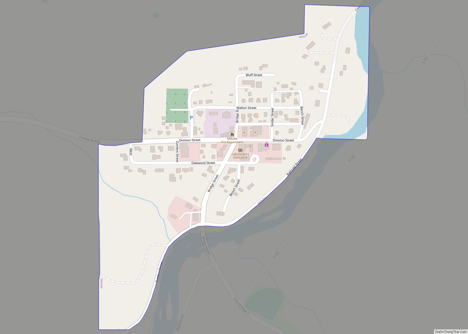
Millville is a city along the Zumbro River in Wabasha County, Minnesota, United States. The population was 182 at the 2010 census. Millville city overview: Name: Millville city LSAD Code: 25 LSAD Description: city (suffix) State: Minnesota County: Wabasha County Elevation: 830 ft (253 m) Total Area: 0.15 sq mi (0.40 km²) Land Area: 0.15 sq mi (0.39 km²) Water Area: 0.01 sq mi (0.01 km²) ... Read more
Minnesota Cities and Places
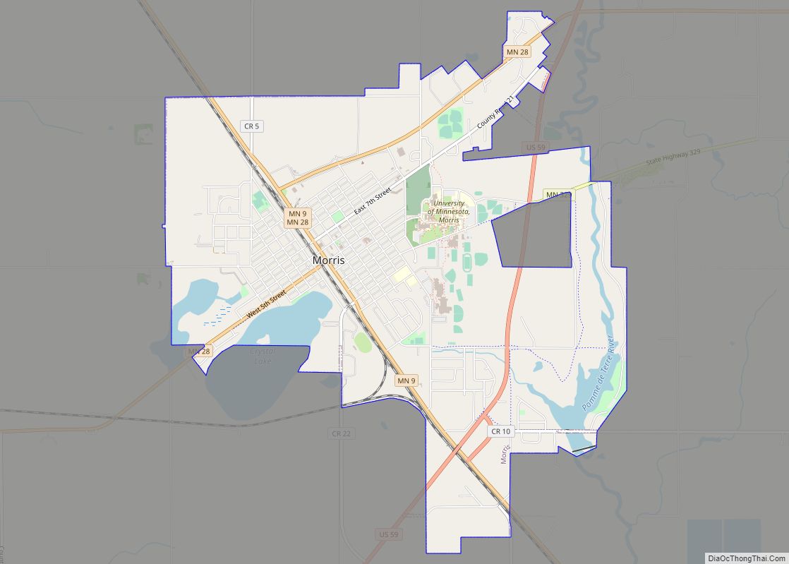
Morris is a city in and the county seat of Stevens County, Minnesota, United States. The population was 5,105 at the 2020 census. Morris is surrounded by some of the nation’s richest agricultural land, and agribusiness is important to the local economy. Headquartered in Morris, Riverview LLP is Minnesota’s largest dairy milking operation and one ... Read more
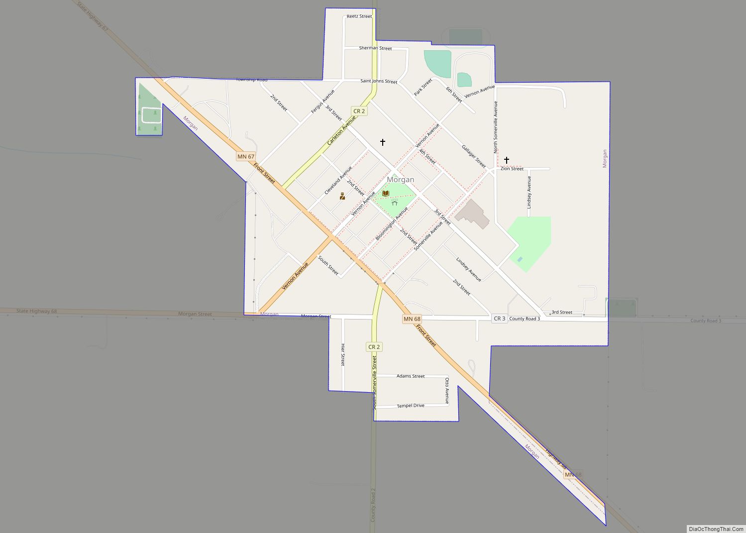
Morgan is a city in Redwood County, Minnesota, United States. The population was 896 at the 2010 census. Morgan city overview: Name: Morgan city LSAD Code: 25 LSAD Description: city (suffix) State: Minnesota County: Redwood County Elevation: 1,043 ft (318 m) Total Area: 0.55 sq mi (1.43 km²) Land Area: 0.55 sq mi (1.43 km²) Water Area: 0.00 sq mi (0.00 km²) Total Population: 888 Population ... Read more
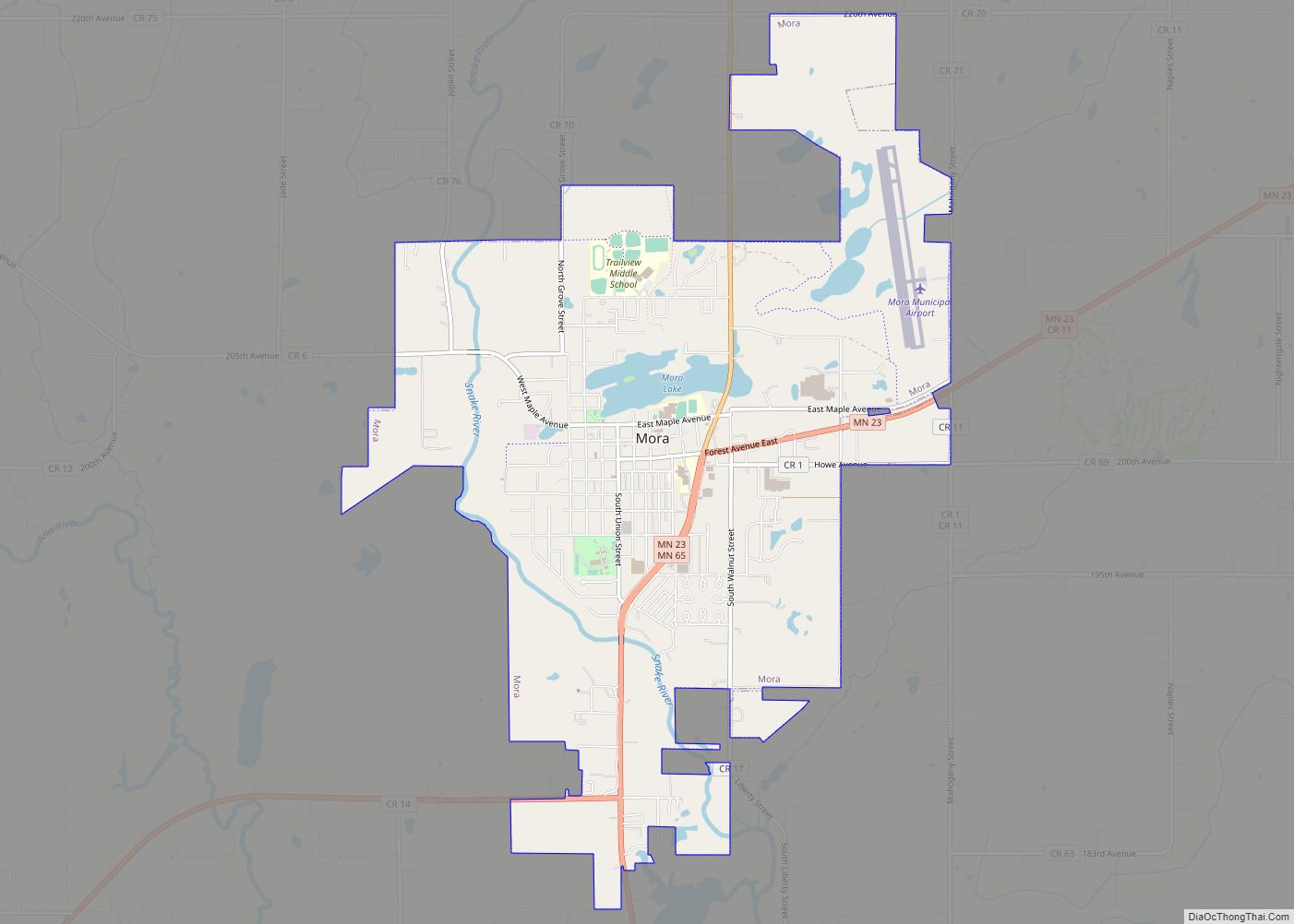
Mora is a city and the county seat of Kanabec County, Minnesota It is located at the junction of Minnesota highways 23 and 65 and is along the Snake River. The population was 3,665 at the 2020 Census. Mora city overview: Name: Mora city LSAD Code: 25 LSAD Description: city (suffix) State: Minnesota County: Kanabec ... Read more
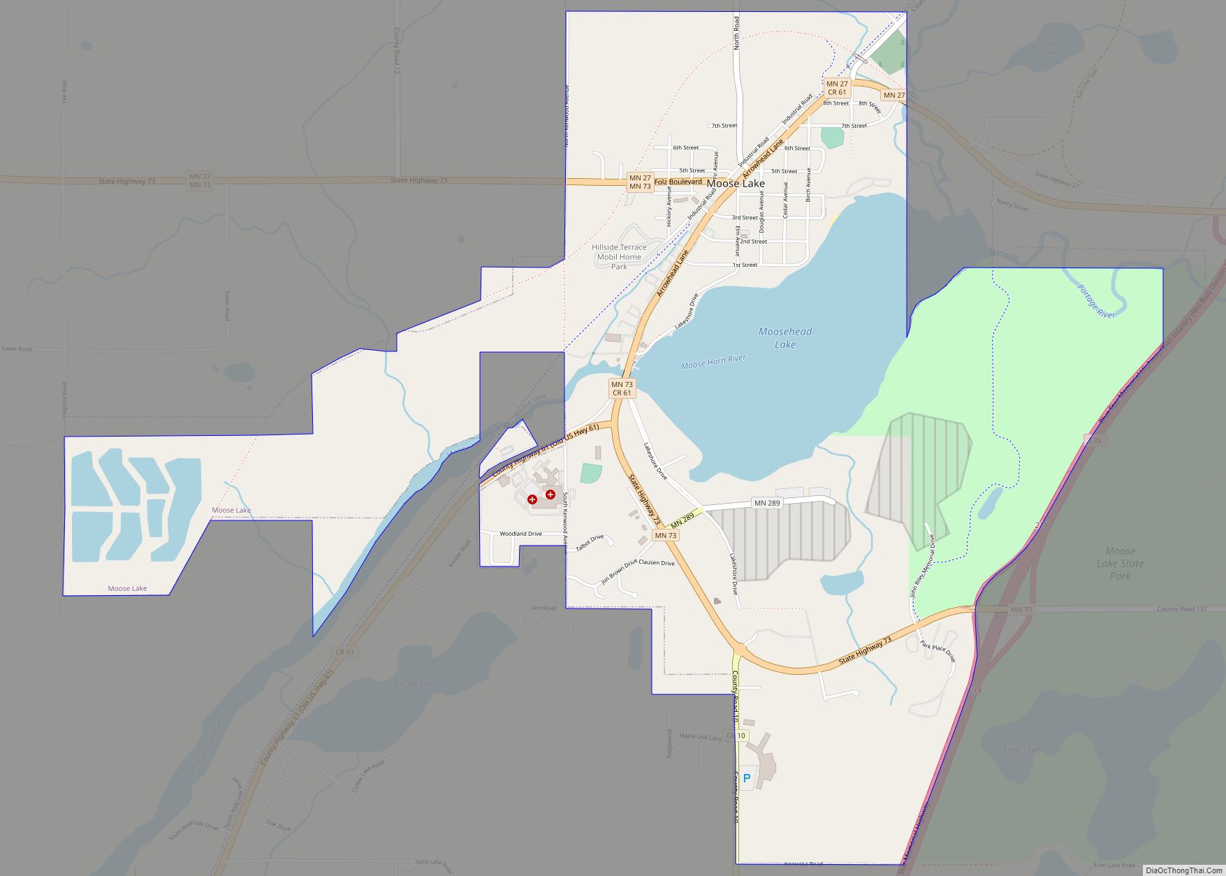
Moose Lake is a city in Carlton County, Minnesota, United States. The population was 2,789 at the 2020 census. Interstate 35, State Highways 27 and 73, County 10, and County 61 are the main routes in Moose Lake. Moose Lake State Park is nearby. Moose Lake city overview: Name: Moose Lake city LSAD Code: 25 ... Read more
Moorhead (/ˈmɔːrhɛd/ MOR-hed) is a city in and county seat of Clay County, Minnesota, United States, on the banks of the Red River of the North. Located in the Red River Valley, an extremely fertile and active agricultural region, Moorhead is also home to several corporations and manufacturing industries. Across the river from Fargo, North ... Read more
Montrose is a small city in Wright County, Minnesota, United States. Montrose is surrounded by farmland, prairies, and lakes. The population was 2,847 at the 2010 census. Montrose city overview: Name: Montrose city LSAD Code: 25 LSAD Description: city (suffix) State: Minnesota County: Wright County Elevation: 994 ft (303 m) Total Area: 3.08 sq mi (7.99 km²) Land Area: 3.08 sq mi ... Read more
Monticello (/ˌmɒntɪˈsɛloʊ/ (listen) MON-tiss-EL-oh) is a city next to the Mississippi River in Wright County, Minnesota, United States. The population was 14,455 at the 2020 census. Monticello city overview: Name: Monticello city LSAD Code: 25 LSAD Description: city (suffix) State: Minnesota County: Wright County Founded: March 1, 1856 Elevation: 925 ft (282 m) Total Area: 9.33 sq mi (24.17 km²) ... Read more
Montgomery is a city in Le Sueur County, Minnesota, United States, 45 miles south of Minneapolis. It was named after Richard Montgomery, an Irish-American soldier who served as a major general in the Continental Army during the Revolutionary War. The population was 2,956 at the 2010 census. Montgomery city overview: Name: Montgomery city LSAD Code: ... Read more
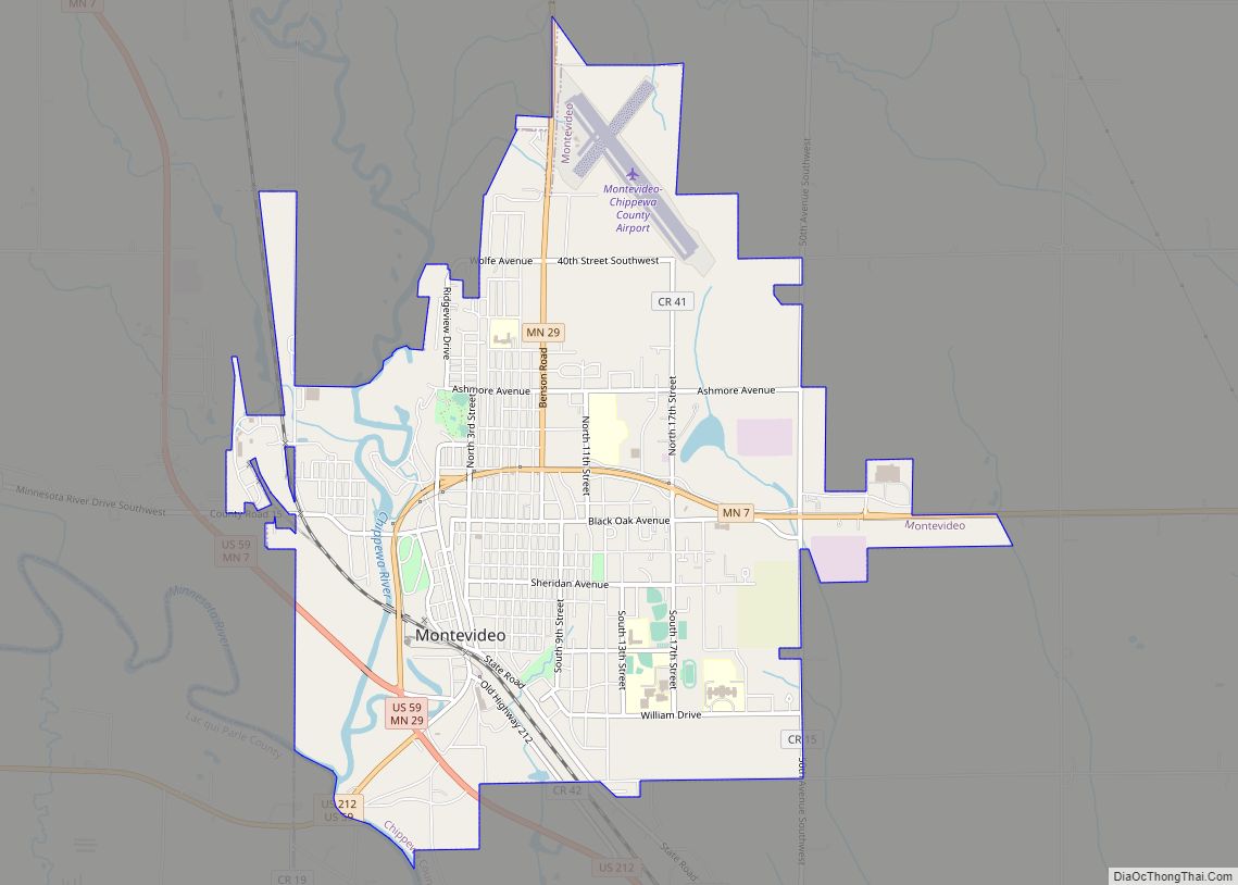
Montevideo (/ˌmɒntəˈvɪdi.oʊ/ MON-tə-VIH-dee-oh) is a city in Chippewa County, Minnesota, United States. The population was 5,383 at the 2010 census. It is the county seat of Chippewa County. The town’s mayor is Erich Winter, and the Council President is Nathan Schmidt. The area around Montevideo was populated by Native Americans and fur traders during the ... Read more
Mizpah is a city in Koochiching County, Minnesota, United States. Its population was 58 at the 2020 census. U.S. Highway 71 and County Road 36 are two of the main routes in Mizpah. Mizpah city overview: Name: Mizpah city LSAD Code: 25 LSAD Description: city (suffix) State: Minnesota County: Koochiching County Elevation: 1,378 ft (420 m) Total ... Read more
Mountain Iron is a city in Saint Louis County, Minnesota, United States, in the heart of the Mesabi Range. The population was 2,878 at the 2020 census. U.S. Highway 169 serves as a main route in Mountain Iron. The city’s motto is “Taconite Capital of the World”. The local mine, Minntac, is owned by the ... Read more
