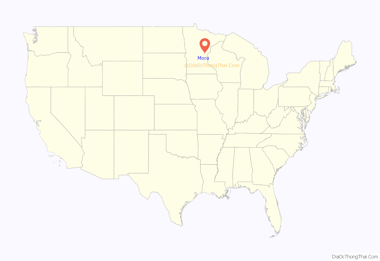
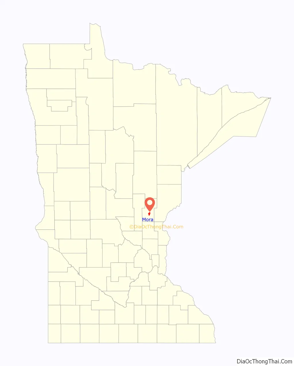
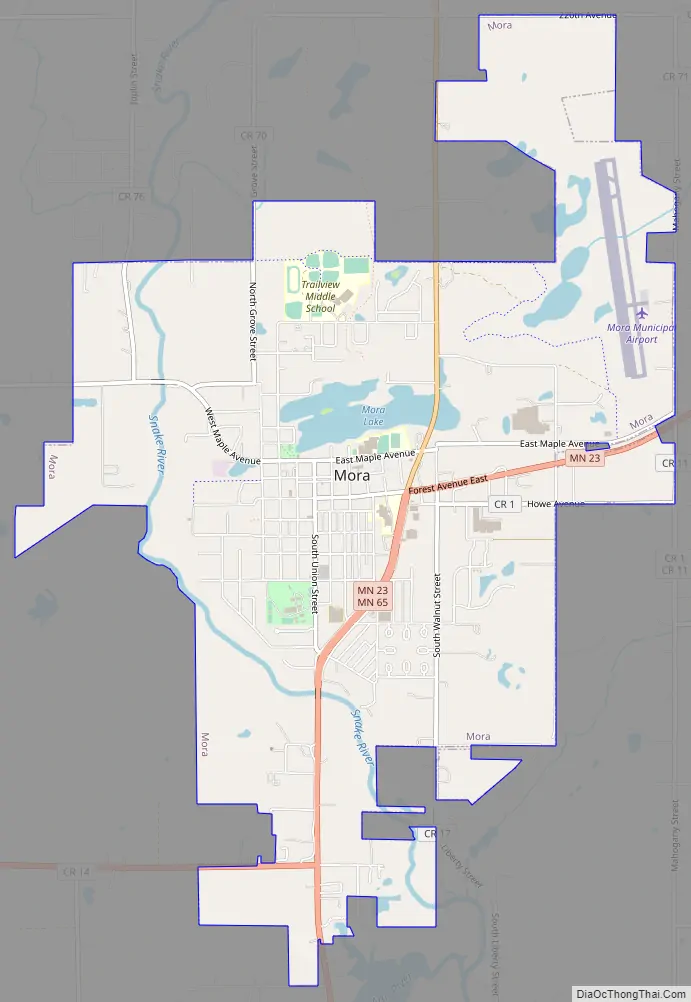
Mora is a city and the county seat of Kanabec County, Minnesota It is located at the junction of Minnesota highways 23 and 65 and is along the Snake River. The population was 3,665 at the 2020 Census.
| Name: | Mora city |
|---|---|
| LSAD Code: | 25 |
| LSAD Description: | city (suffix) |
| State: | Minnesota |
| County: | Kanabec County |
| Elevation: | 1,010 ft (308 m) |
| Total Area: | 5.42 sq mi (14.04 km²) |
| Land Area: | 5.16 sq mi (13.38 km²) |
| Water Area: | 0.26 sq mi (0.66 km²) |
| Total Population: | 3,665 |
| Population Density: | 709.72/sq mi (274.01/km²) |
| ZIP code: | 55051 |
| Area code: | 320 |
| FIPS code: | 2744044 |
| GNISfeature ID: | 0648098 |
| Website: | ci.mora.mn.us |
Online Interactive Map
Click on ![]() to view map in "full screen" mode.
to view map in "full screen" mode.
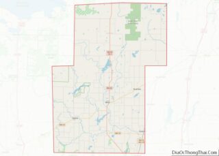
Mora location map. Where is Mora city?
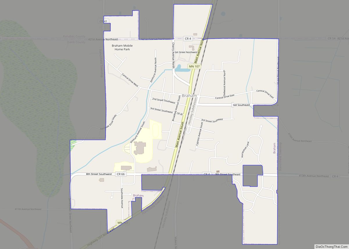
History
Mora was platted in 1882 by Myron Kent. The city was named after Mora, Sweden. when Israel Israelson suggested the name of his hometown in Dalarna County, Sweden. The post office opened February, 27th, 1883 with Kent being the first postmaster of Mora.
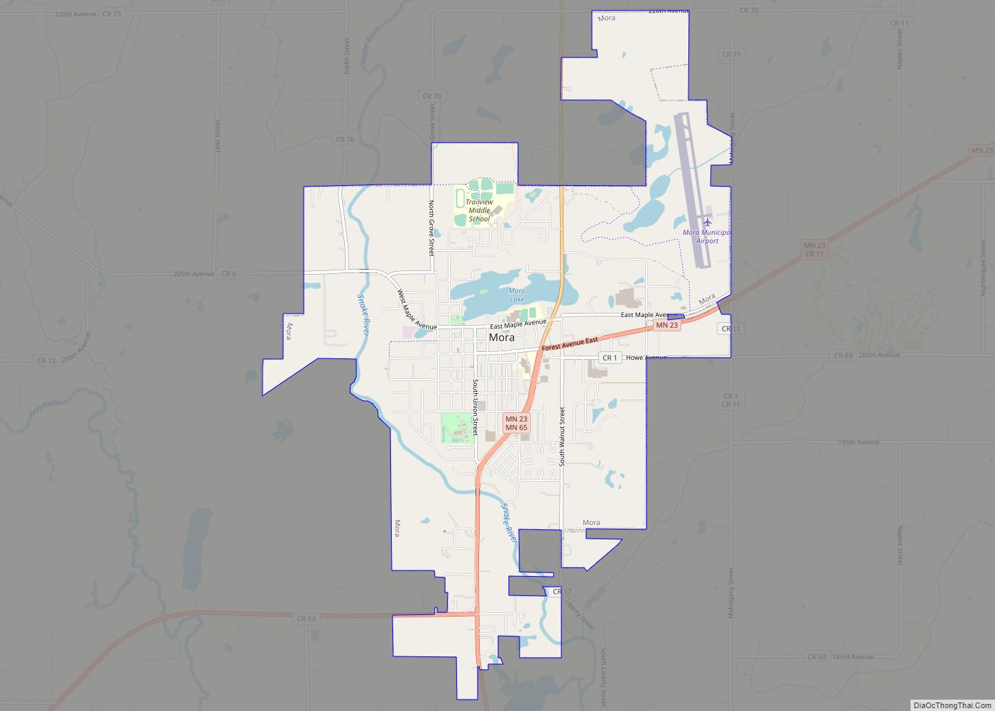
Mora Road Map
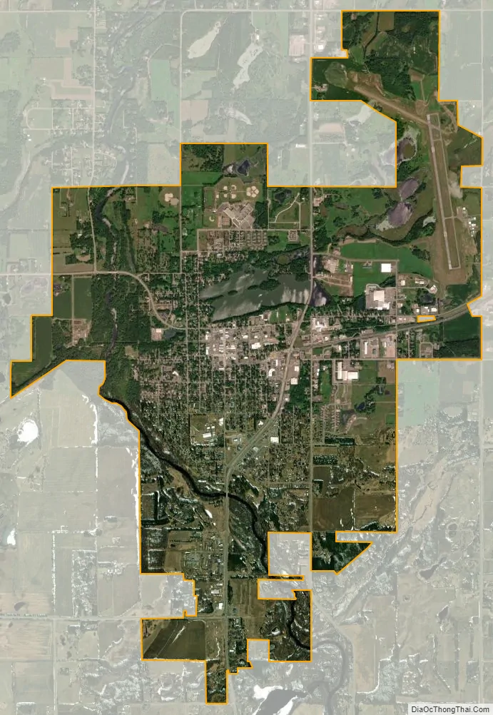
Mora city Satellite Map
Geography
According to the United States Census Bureau, the city has a total area of 5.27 square miles (13.65 km), of which 5.00 square miles (12.95 km) is land and 0.27 square miles (0.70 km) is water.
Mora is located 72 miles north of Minneapolis-St. Paul at the intersection of Minnesota highways 23 and 65. It is also 52 miles northeast of St. Cloud and 91 miles southwest of Duluth.
Mora is along the Snake River.
See also
Map of Minnesota State and its subdivision:- Aitkin
- Anoka
- Becker
- Beltrami
- Benton
- Big Stone
- Blue Earth
- Brown
- Carlton
- Carver
- Cass
- Chippewa
- Chisago
- Clay
- Clearwater
- Cook
- Cottonwood
- Crow Wing
- Dakota
- Dodge
- Douglas
- Faribault
- Fillmore
- Freeborn
- Goodhue
- Grant
- Hennepin
- Houston
- Hubbard
- Isanti
- Itasca
- Jackson
- Kanabec
- Kandiyohi
- Kittson
- Koochiching
- Lac qui Parle
- Lake
- Lake of the Woods
- Lake Superior
- Le Sueur
- Lincoln
- Lyon
- Mahnomen
- Marshall
- Martin
- McLeod
- Meeker
- Mille Lacs
- Morrison
- Mower
- Murray
- Nicollet
- Nobles
- Norman
- Olmsted
- Otter Tail
- Pennington
- Pine
- Pipestone
- Polk
- Pope
- Ramsey
- Red Lake
- Redwood
- Renville
- Rice
- Rock
- Roseau
- Saint Louis
- Scott
- Sherburne
- Sibley
- Stearns
- Steele
- Stevens
- Swift
- Todd
- Traverse
- Wabasha
- Wadena
- Waseca
- Washington
- Watonwan
- Wilkin
- Winona
- Wright
- Yellow Medicine
- Alabama
- Alaska
- Arizona
- Arkansas
- California
- Colorado
- Connecticut
- Delaware
- District of Columbia
- Florida
- Georgia
- Hawaii
- Idaho
- Illinois
- Indiana
- Iowa
- Kansas
- Kentucky
- Louisiana
- Maine
- Maryland
- Massachusetts
- Michigan
- Minnesota
- Mississippi
- Missouri
- Montana
- Nebraska
- Nevada
- New Hampshire
- New Jersey
- New Mexico
- New York
- North Carolina
- North Dakota
- Ohio
- Oklahoma
- Oregon
- Pennsylvania
- Rhode Island
- South Carolina
- South Dakota
- Tennessee
- Texas
- Utah
- Vermont
- Virginia
- Washington
- West Virginia
- Wisconsin
- Wyoming