Moorhead (/ˈmɔːrhɛd/ MOR-hed) is a city in and county seat of Clay County, Minnesota, United States, on the banks of the Red River of the North. Located in the Red River Valley, an extremely fertile and active agricultural region, Moorhead is also home to several corporations and manufacturing industries. Across the river from Fargo, North Dakota, Moorhead helps form the core of the Fargo–Moorhead ND-MN Metropolitan Area. The population was 44,505 according to the 2020 census.
Platted in 1871, the city was named for William Galloway Moorhead, an official of the Northern Pacific Railway.
| Name: | Moorhead city |
|---|---|
| LSAD Code: | 25 |
| LSAD Description: | city (suffix) |
| State: | Minnesota |
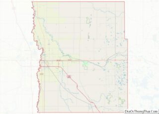
| County: | Clay County |
| Founded: | 1871 |
| Elevation: | 898 ft (274 m) |
| Land Area: | 22.27 sq mi (57.67 km²) |
| Water Area: | 0.01 sq mi (0.02 km²) |
| Population Density: | 1,998.88/sq mi (771.77/km²) |
| ZIP code: | 56560–56563 |
| Area code: | 218 |
| FIPS code: | 2743864 |
| GNISfeature ID: | 0648070 |
| Website: | ci.moorhead.mn.us |
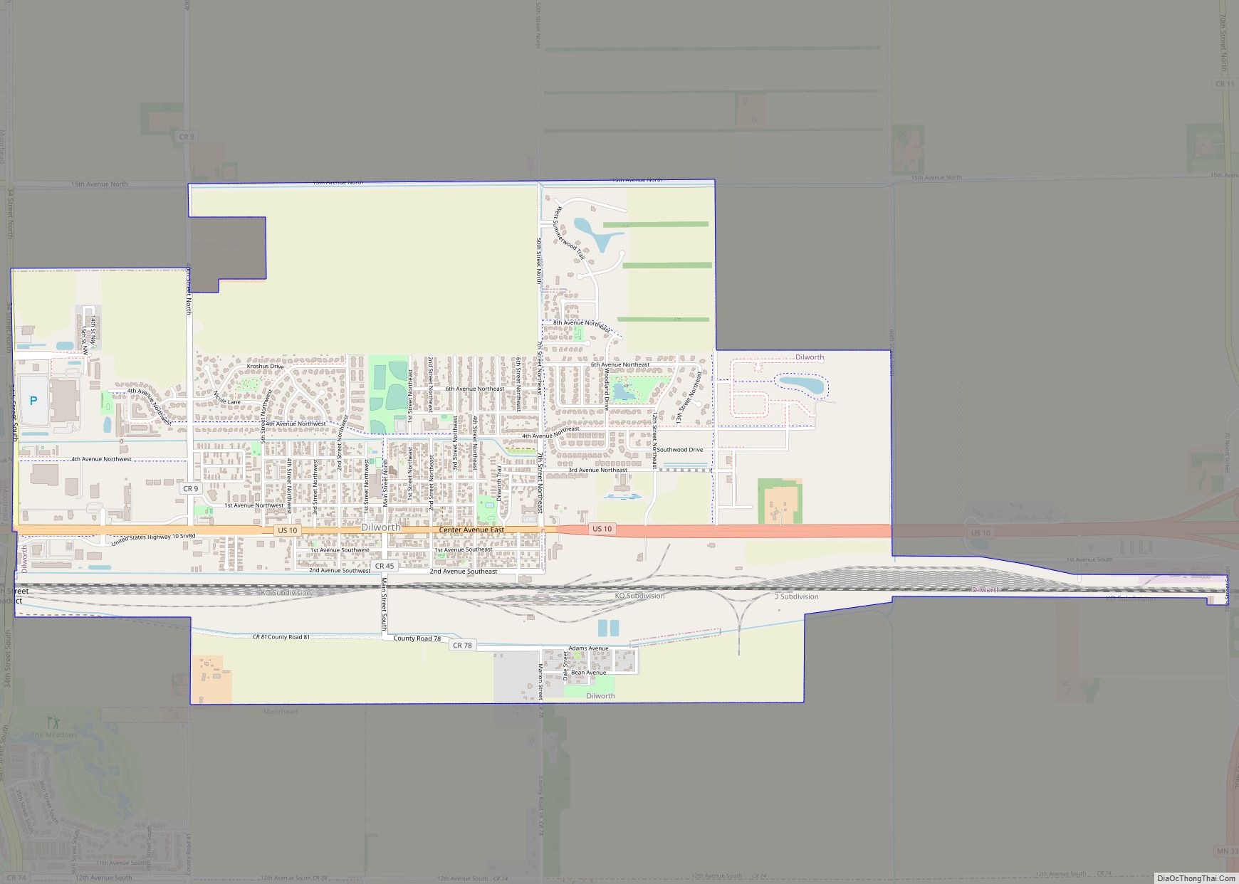
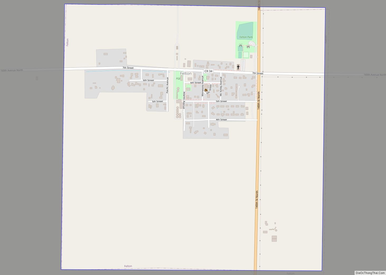
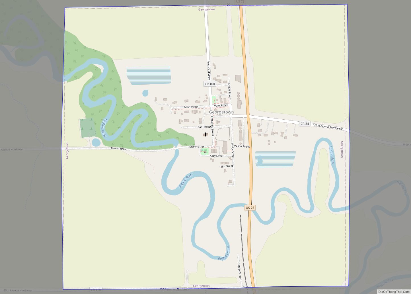
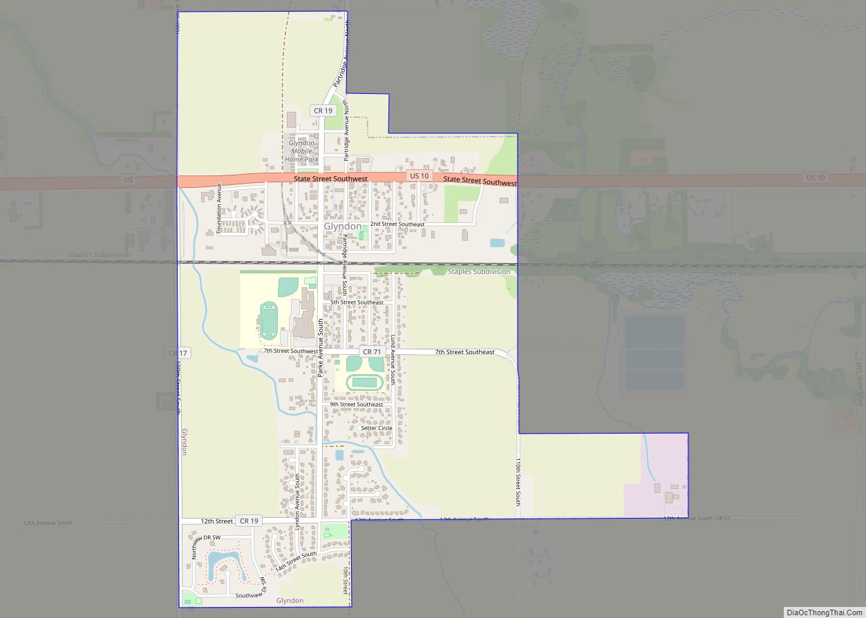
Online Interactive Map
Click on ![]() to view map in "full screen" mode.
to view map in "full screen" mode.
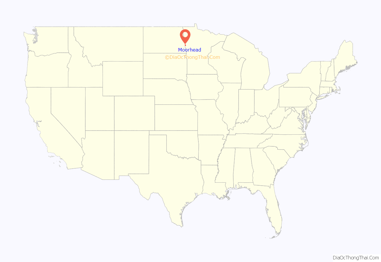
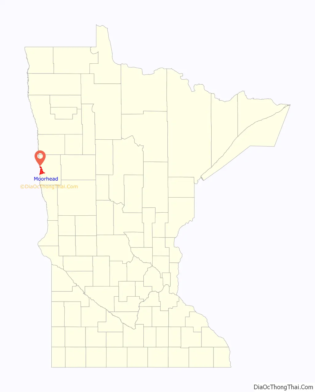
Moorhead location map. Where is Moorhead city?
History
The city was platted in 1871 and named for William Galloway Moorhead, a Northern Pacific Railway official and brother-in-law of financier Jay Cooke.
The former Moorhead Armory on 5th Street South was the site of the intended concert destination for musicians Buddy Holly, Ritchie Valens, and The Big Bopper before their fatal plane crash a few miles north of Clear Lake, Iowa around 1:00 am Tuesday February 3, 1959. The building was demolished in 1990 and is now the site of Ecumen Evergreens, a senior living property.
Moorhead is home to the first Dairy Queen to sell Dilly Bars. The Moorhead Dairy Queen is also one of only a few Dairy Queens operating on a contract signed in 1949, which allows it to feature products not approved by corporate Headquarters. An example includes a chipper sandwich, vanilla ice cream sandwiched between two chocolate chip cookies and dipped in chocolate.
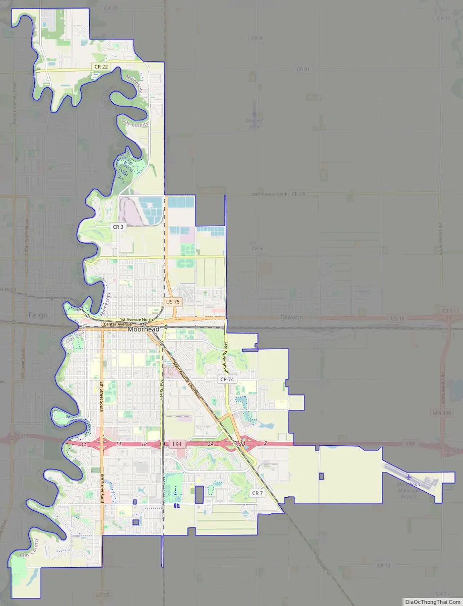
Moorhead Road Map
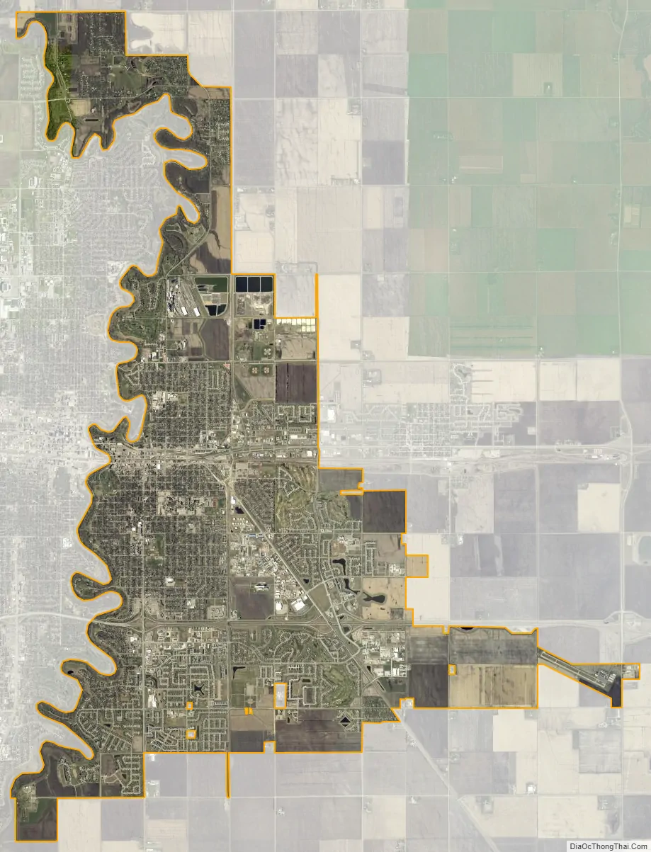
Moorhead city Satellite Map
Geography
Moorhead is located adjacent to the Red River in the Red River Valley. The land around the Fargo–Moorhead area is some of the flattest and richest (for agricultural uses) in the world. This is because it lies on the lake bed of glacial Lake Agassiz, which drained between 9,900 and 11,000 years ago.
According to the United States Census Bureau, the city has a total area of 19.80 square miles (51.28 km), all land.
Climate
See also
Map of Minnesota State and its subdivision:- Aitkin
- Anoka
- Becker
- Beltrami
- Benton
- Big Stone
- Blue Earth
- Brown
- Carlton
- Carver
- Cass
- Chippewa
- Chisago
- Clay
- Clearwater
- Cook
- Cottonwood
- Crow Wing
- Dakota
- Dodge
- Douglas
- Faribault
- Fillmore
- Freeborn
- Goodhue
- Grant
- Hennepin
- Houston
- Hubbard
- Isanti
- Itasca
- Jackson
- Kanabec
- Kandiyohi
- Kittson
- Koochiching
- Lac qui Parle
- Lake
- Lake of the Woods
- Lake Superior
- Le Sueur
- Lincoln
- Lyon
- Mahnomen
- Marshall
- Martin
- McLeod
- Meeker
- Mille Lacs
- Morrison
- Mower
- Murray
- Nicollet
- Nobles
- Norman
- Olmsted
- Otter Tail
- Pennington
- Pine
- Pipestone
- Polk
- Pope
- Ramsey
- Red Lake
- Redwood
- Renville
- Rice
- Rock
- Roseau
- Saint Louis
- Scott
- Sherburne
- Sibley
- Stearns
- Steele
- Stevens
- Swift
- Todd
- Traverse
- Wabasha
- Wadena
- Waseca
- Washington
- Watonwan
- Wilkin
- Winona
- Wright
- Yellow Medicine
- Alabama
- Alaska
- Arizona
- Arkansas
- California
- Colorado
- Connecticut
- Delaware
- District of Columbia
- Florida
- Georgia
- Hawaii
- Idaho
- Illinois
- Indiana
- Iowa
- Kansas
- Kentucky
- Louisiana
- Maine
- Maryland
- Massachusetts
- Michigan
- Minnesota
- Mississippi
- Missouri
- Montana
- Nebraska
- Nevada
- New Hampshire
- New Jersey
- New Mexico
- New York
- North Carolina
- North Dakota
- Ohio
- Oklahoma
- Oregon
- Pennsylvania
- Rhode Island
- South Carolina
- South Dakota
- Tennessee
- Texas
- Utah
- Vermont
- Virginia
- Washington
- West Virginia
- Wisconsin
- Wyoming