Jackson, officially the City of Jackson, is the capital of and the most populous city in the U.S. state of Mississippi. The city is also one of two county seats of Hinds County, along with Raymond. The city had a population of 153,701 at the 2020 census, down from 173,514 at the 2010 census. Jackson’s ... Read more
Mississippi Cities and Places
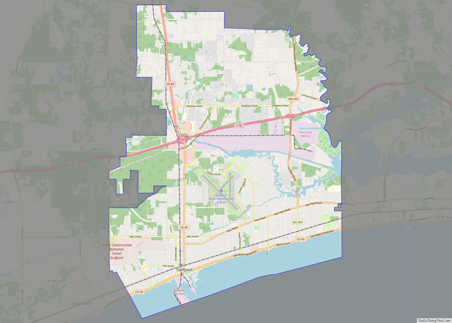
Gulfport is the second-largest city in U.S. state of Mississippi after the state capital, Jackson. Along with Biloxi, Gulfport is the co-county seat of Harrison County and the larger of the two principal cities of the Gulfport–Biloxi metropolitan area. As of the 2020 census, the city of Gulfport had a total population of 72,926, with ... Read more
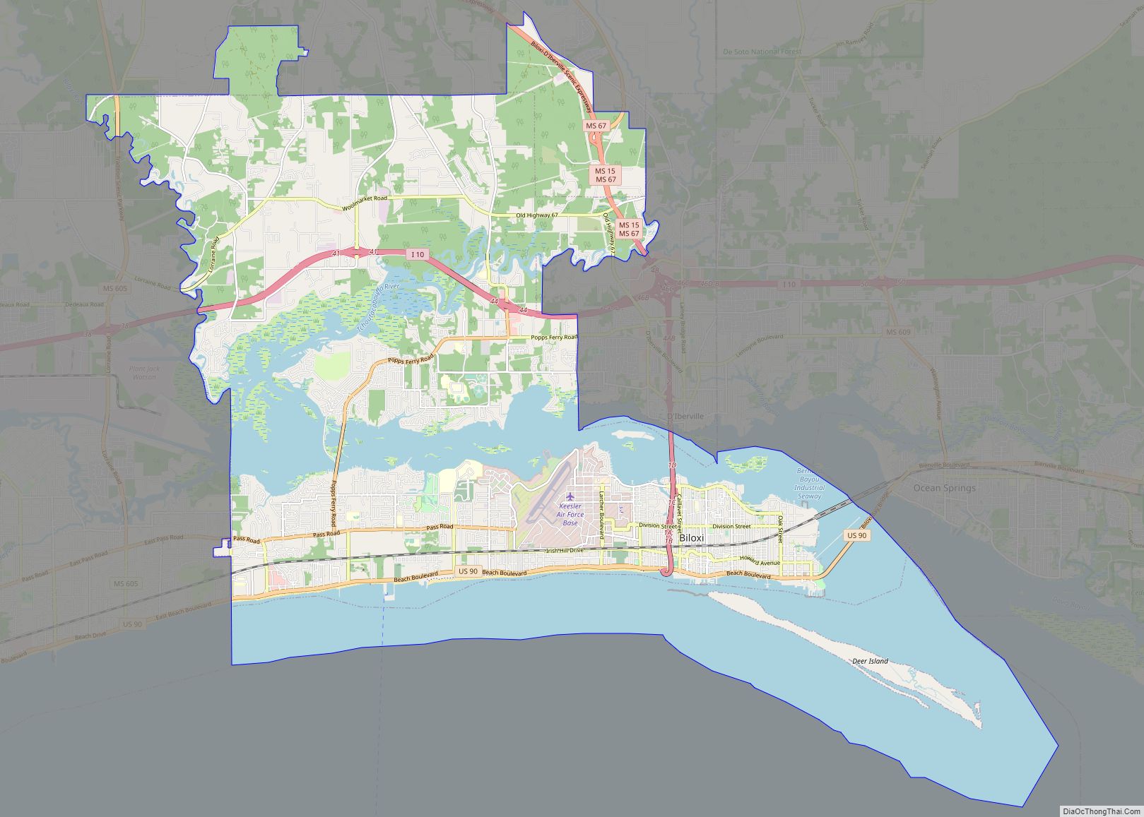
Biloxi (/bɪˈlʌksi/ bih-LUK-see; French: [bilusi]) is a city in and one of two county seats of Harrison County, Mississippi, United States. Adjacent to the co-seat of Gulfport, Biloxi lies along the Gulf Coast in southern Mississippi. The population was 49,449 at the 2020 census, making it the state’s fourth-largest city. It is a principal city of ... Read more
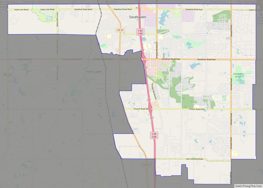
Southaven is a city in DeSoto County, Mississippi, United States. It is a principal city in Greater Memphis. The 2020 census reported a population of 54,648, making it the third-largest city in Mississippi and the second-most populous suburb of Memphis. Southaven is traversed north to south by the I-55/I-69 freeway. The city’s name derives from ... Read more
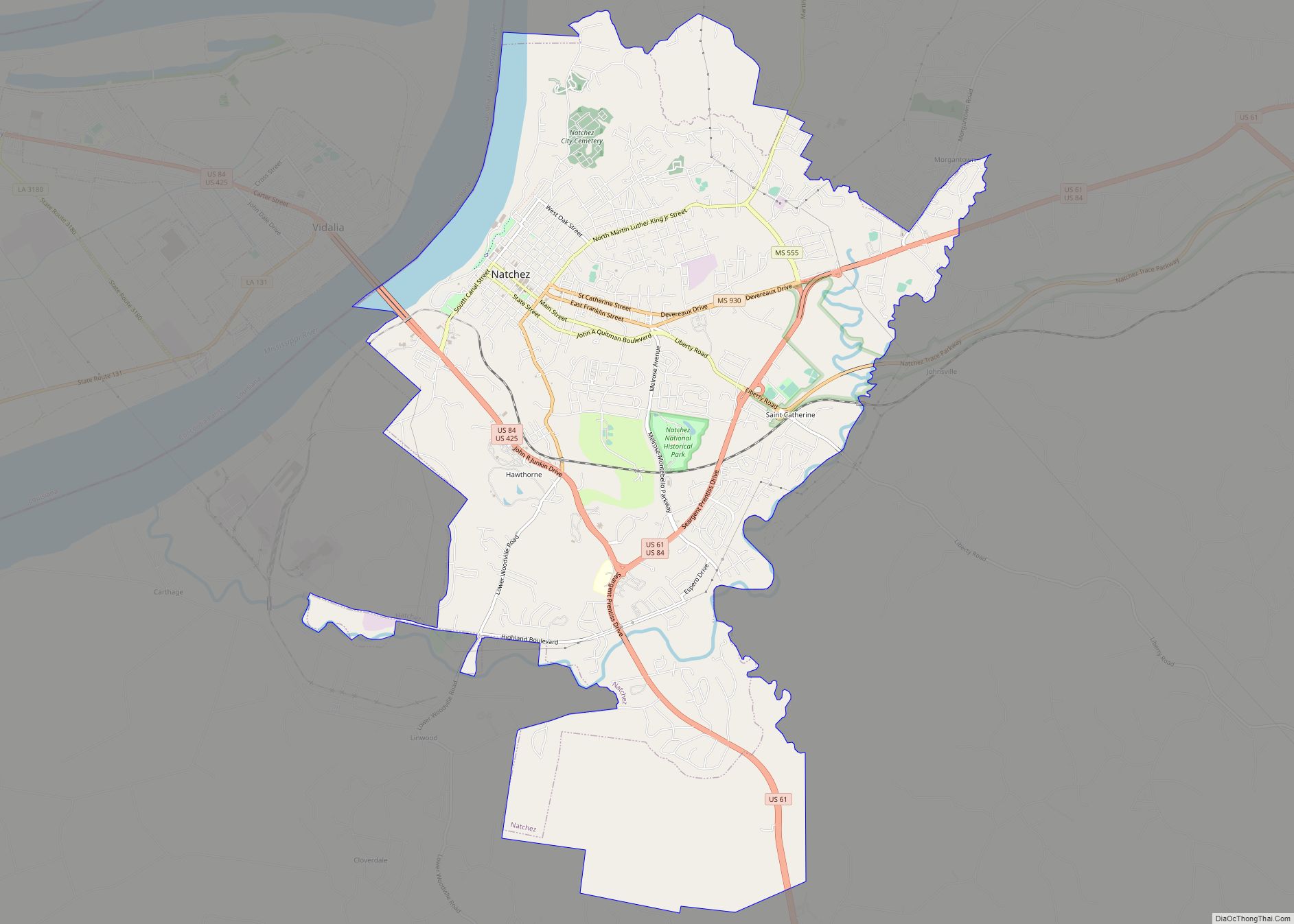
Natchez (/ˈnætʃɪz/ NATCH-iz) is the only city in and the county seat of Adams County, Mississippi, United States. It has a total population of 14,520 (as of the 2020 census). Located on the Mississippi River across from Vidalia in Concordia Parish, Louisiana, Natchez was a prominent city in the antebellum years, a center of cotton ... Read more
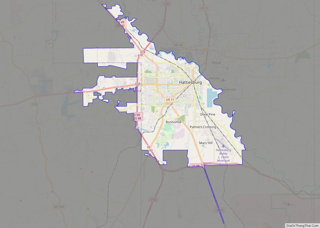
Hattiesburg is a city in the U.S. state of Mississippi, located primarily in Forrest County (where it is the county seat and largest city) and extending west into Lamar County. The city population was 45,989 at the 2010 census, with the population now being 48,730 in 2020. Hattiesburg is the principal city of the Hattiesburg ... Read more
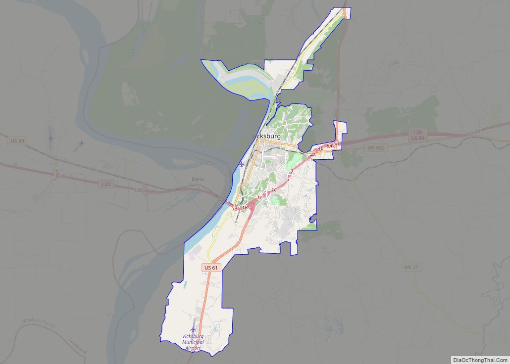
Vicksburg is a historic city in Warren County, Mississippi, United States. It is the county seat, and the population as of 2020 was 21,573. Located on a high bluff on the east bank of the Mississippi River across from Louisiana, Vicksburg was built by French colonists in 1719, and the outpost withstood an attack from ... Read more
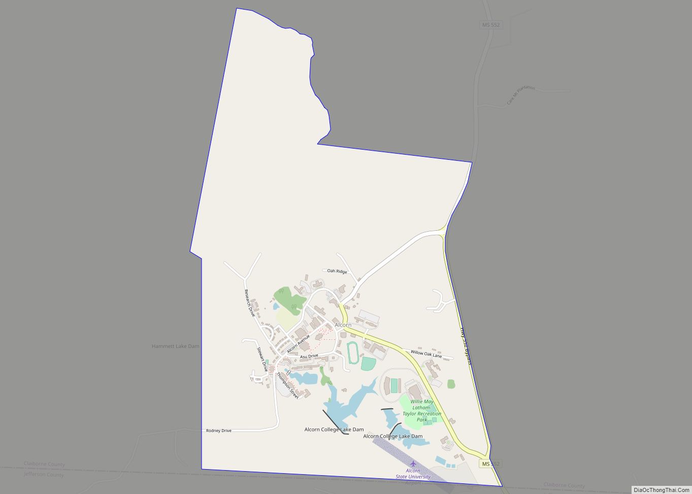
Alcorn State University (Alcorn State, ASU or Alcorn) is a public historically black land-grant university adjacent to Lorman, Mississippi. It was founded in 1871 and was the first black land grant college established in the United States. The university is a member-school of the Thurgood Marshall College Fund. Alcorn State’s athletic teams known as the ... Read more
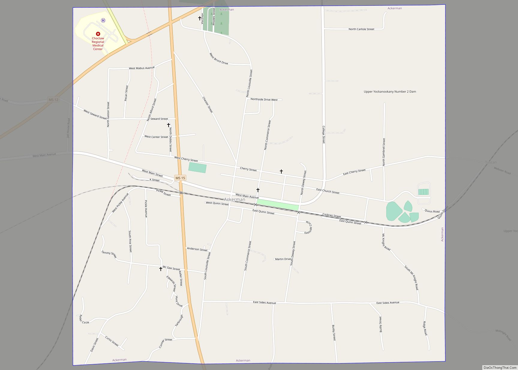
Ackerman is a town in Choctaw County, Mississippi, United States. The population was 1,594 at the 2020 census, up from 1,510 at the 2010 census. It is the county seat of Choctaw County. It is named for an early European-American landowner. Ackerman town overview: Name: Ackerman town LSAD Code: 43 LSAD Description: town (suffix) State: ... Read more
Aberdeen is the county seat of Monroe County, Mississippi, United States. As of the 2020 census, the population was 4,961. Located on the banks of the Tombigbee River, Aberdeen was one of the busiest Mississippi ports of the 19th century. Cotton was heavily traded in town, and for a time Aberdeen was Mississippi’s second largest ... Read more
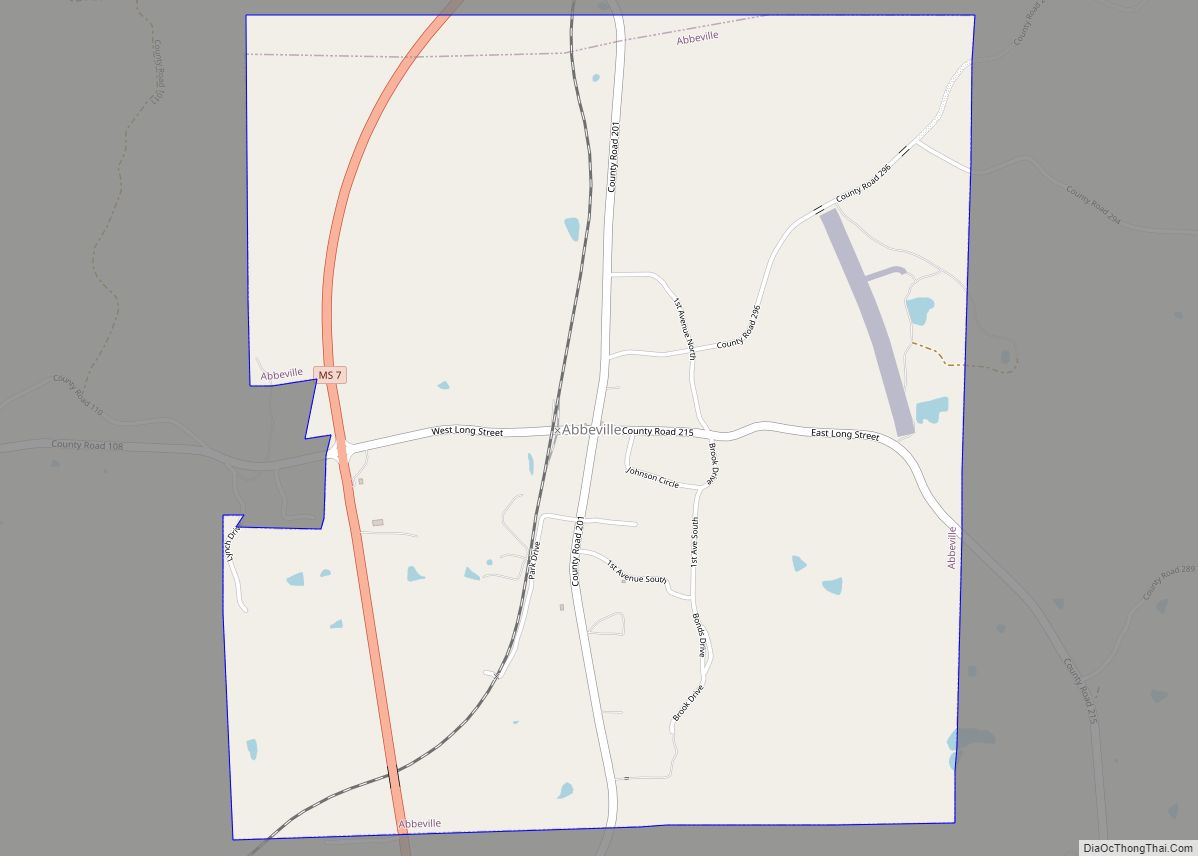
Abbeville is a town in Lafayette County, Mississippi. As of the 2020 census, the population was 372. Abbeville town overview: Name: Abbeville town LSAD Code: 43 LSAD Description: town (suffix) State: Mississippi County: Lafayette County Elevation: 371 ft (113 m) Total Area: 3.46 sq mi (8.96 km²) Land Area: 3.46 sq mi (8.96 km²) Water Area: 0.00 sq mi (0.00 km²) Total Population: 372 Population Density: ... Read more
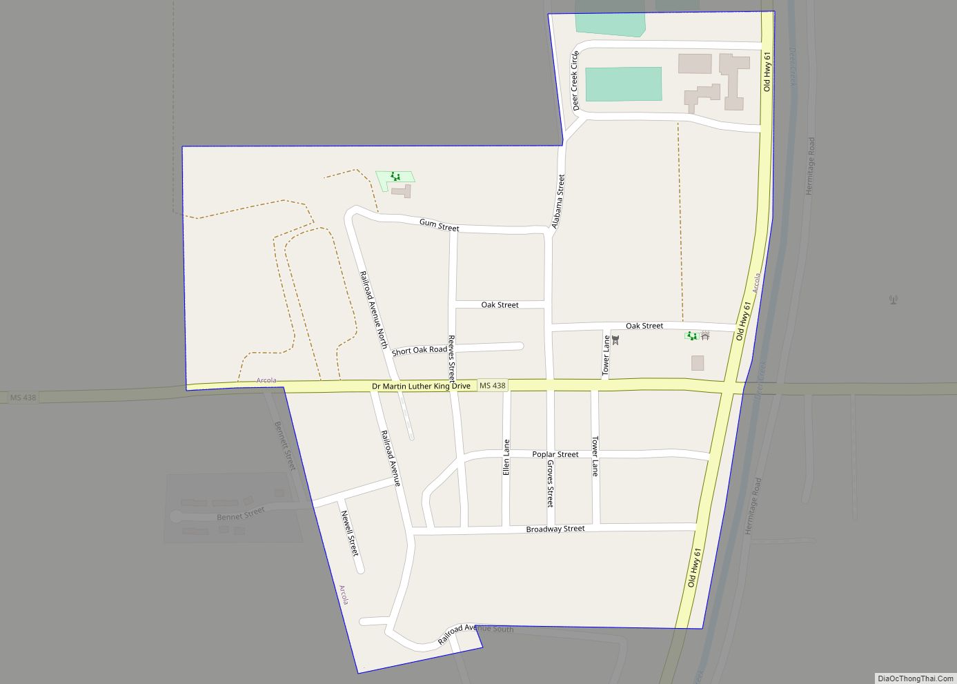
Arcola is a town in Washington County, Mississippi. The population was 304 at the 2020 census, down from 361 at the 2010 census. Arcola town overview: Name: Arcola town LSAD Code: 43 LSAD Description: town (suffix) State: Mississippi County: Washington County Elevation: 121 ft (37 m) Total Area: 0.22 sq mi (0.57 km²) Land Area: 0.22 sq mi (0.57 km²) Water Area: 0.00 sq mi ... Read more

