Map of Hastings town, Oklahoma

Map of Hastings town, Oklahoma

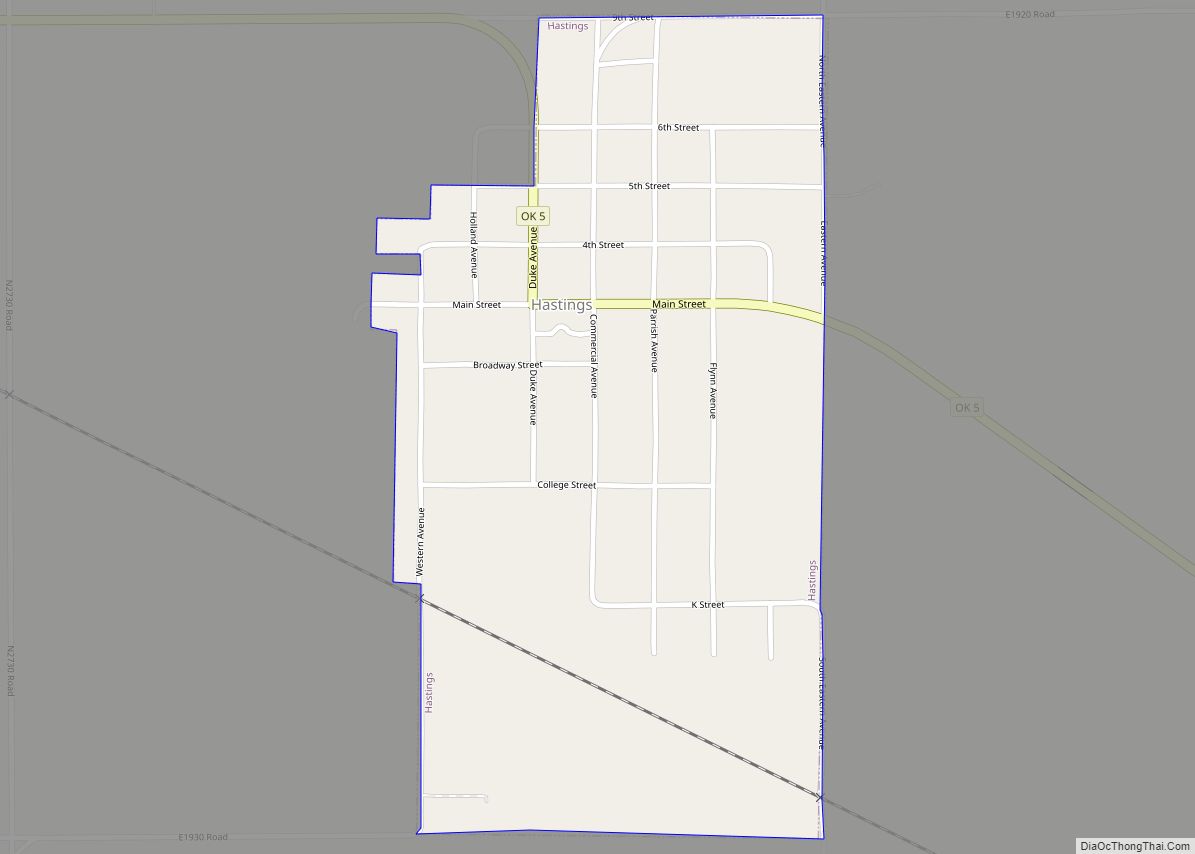
Hastings is a town in Jefferson County, Oklahoma, United States. The population was 143 at the 2010 census, a decline of 7.8 percent from the figure of 155 in 2000. Hastings town overview: Name: Hastings town LSAD Code: 43 LSAD Description: town (suffix) State: Oklahoma County: Jefferson County Elevation: 1,004 ft (306 m) Total Area: 0.48 sq mi (1.25 km²) … Read more

Map of Haskell town, Oklahoma

Map of Haskell town, Oklahoma

Haskell is a town in Muskogee County, Oklahoma, United States. The population was 2,007 at the 2010 census, a gain of 13.7 percent over the figure of 1,765 recorded in 2000. Haskell was established in 1904 on the Midland Valley Railroad. It was named for town site developer Charles N. Haskell, who would become the … Read more

Map of Hartshorne city

Map of Hartshorne city

Hartshorne (pronounced “Hearts-orn”) is a city in Pittsburg County, Oklahoma, United States. It is the second largest city in the county. The population was 2,125 at the 2010 census. Hartshorne city overview: Name: Hartshorne city LSAD Code: 25 LSAD Description: city (suffix) State: Oklahoma County: Pittsburg County Elevation: 702 ft (214 m) Total Area: 3.39 sq mi (8.79 km²) Land … Read more

Map of Harrah city

Map of Harrah city, Oklahoma

Harrah is a city in Oklahoma County, Oklahoma, United States, and a part of the Oklahoma City metropolitan area. Located 25 miles (40 km) east of downtown Oklahoma City, Harrah had a population of 6,245 people as of the 2020 Census, a 22.6% increase from 2010. The first settler of the area, who was Potawatomi, arrived … Read more

Map of Hardesty town

Map of Hardesty town

Hardesty is a town in Texas County, Oklahoma, United States. As of the 2010 census, the town population was 212. Hardesty town overview: Name: Hardesty town LSAD Code: 43 LSAD Description: town (suffix) State: Oklahoma County: Texas County Elevation: 2,907 ft (886 m) Total Area: 0.23 sq mi (0.58 km²) Land Area: 0.23 sq mi (0.58 km²) Water Area: 0.00 sq mi (0.00 km²) Total Population: … Read more

Map of Hanna town, Oklahoma

Map of Hanna town, Oklahoma

Hanna is a town in southwestern McIntosh County, Oklahoma, United States. Its population was 102 at the time of the 2020 Census. It was named for Hanna Bullett, the daughter of a prominent early resident. Hanna town overview: Name: Hanna town LSAD Code: 43 LSAD Description: town (suffix) State: Oklahoma County: McIntosh County Elevation: 676 ft … Read more

Map of Helena town, Oklahoma

Map of Helena town, Oklahoma

Helena is a town in southeastern Alfalfa County, Oklahoma, United States. Residents pronounce the town’s name with a long E: “Heh-LEE’-nuh.” The population was 1,403 at the 2010 census. It is the site of the James Crabtree Correctional Center, run by the Oklahoma Department of Corrections, with a population of 1,003 inmates in 2010. It … Read more

Map of Hobart city, Oklahoma

Map of Hobart city, Oklahoma

Hobart is a city in, and the county seat of, Kiowa County, Oklahoma, United States. It was named for Garret Hobart, the 24th Vice President of the United States. The population was 3,756 at the 2010 census, a decline of 6.0 percent from the figure of 3,997 in 2000. It is served by Hobart Regional … Read more

Map of Hitchita town

Map of Hitchita town

Hitchita is a town in McIntosh County, Oklahoma, United States. The Encyclopedia of Oklahoma History and Culture says that the town was named for a band of Muskhogean Indians that had been absorbed into the Creek tribe. The population was 88 at the 2010 census, a decline of 22.1 percent from 113 in 2000. Hitchita … Read more

Map of Hitchcock town

Map of Hitchcock town, Oklahoma

Hitchcock is a town in Blaine County, Oklahoma, United States. The population was 121 at the 2010 census. Hitchcock town overview: Name: Hitchcock town LSAD Code: 43 LSAD Description: town (suffix) State: Oklahoma County: Blaine County Elevation: 1,289 ft (393 m) Total Area: 0.15 sq mi (0.39 km²) Land Area: 0.15 sq mi (0.39 km²) Water Area: 0.00 sq mi (0.00 km²) Total Population: 102 Population … Read more

Map of Hinton town, Oklahoma

Map of Hinton town, Oklahoma

Hinton is a town in Caddo County, Oklahoma, United States. The population was 3,196 as of the 2010 census, up from 2,175 in 2000. It is approximately 50 miles (80 km) west of Oklahoma City. Hinton town overview: Name: Hinton town LSAD Code: 43 LSAD Description: town (suffix) State: Oklahoma County: Caddo County Elevation: 1,677 ft (511 m) … Read more

Map of Hillsdale town, Oklahoma

Map of Hillsdale town, Oklahoma

Hillsdale is a town in Garfield County, Oklahoma, United States. The population was 121 at the 2010 census, a 19.8 percent gain from the figure of 101 in 2000. Hillsdale town overview: Name: Hillsdale town LSAD Code: 43 LSAD Description: town (suffix) State: Oklahoma County: Garfield County Elevation: 1,227 ft (374 m) Total Area: 0.35 sq mi (0.90 km²) Land … Read more