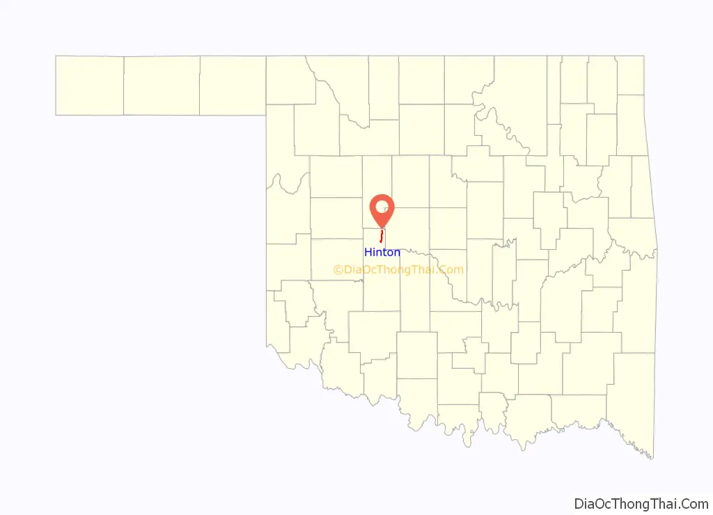
Hinton is a town in Caddo County, Oklahoma, United States. The population was 3,196 as of the 2010 census, up from 2,175 in 2000. It is approximately 50 miles (80 km) west of Oklahoma City.
| Name: | Hinton town |
|---|---|
| LSAD Code: | 43 |
| LSAD Description: | town (suffix) |
| State: | Oklahoma |
| County: | Caddo County |
| Elevation: | 1,677 ft (511 m) |
| Total Area: | 4.80 sq mi (12.44 km²) |
| Land Area: | 4.74 sq mi (12.28 km²) |
| Water Area: | 0.06 sq mi (0.16 km²) |
| Total Population: | 4,917 |
| Population Density: | 1,037.34/sq mi (400.54/km²) |
| ZIP code: | 73047 |
| Area code: | 405/572 |
| FIPS code: | 4034750 |
| GNISfeature ID: | 1093794 |
Online Interactive Map
Click on ![]() to view map in "full screen" mode.
to view map in "full screen" mode.
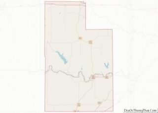
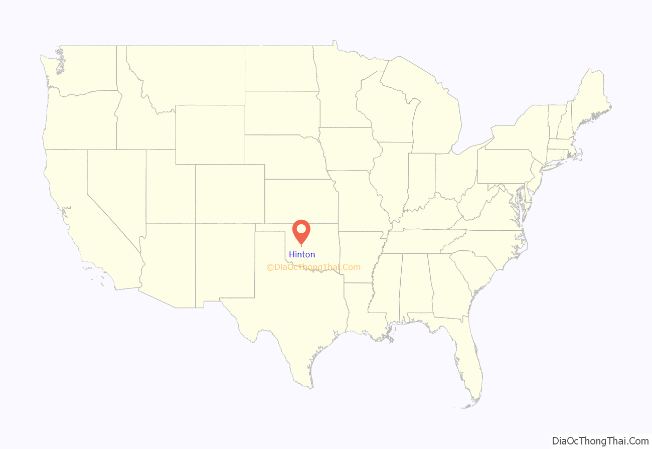
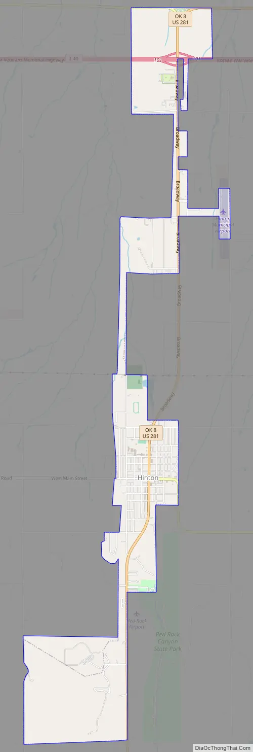
Hinton location map. Where is Hinton town?
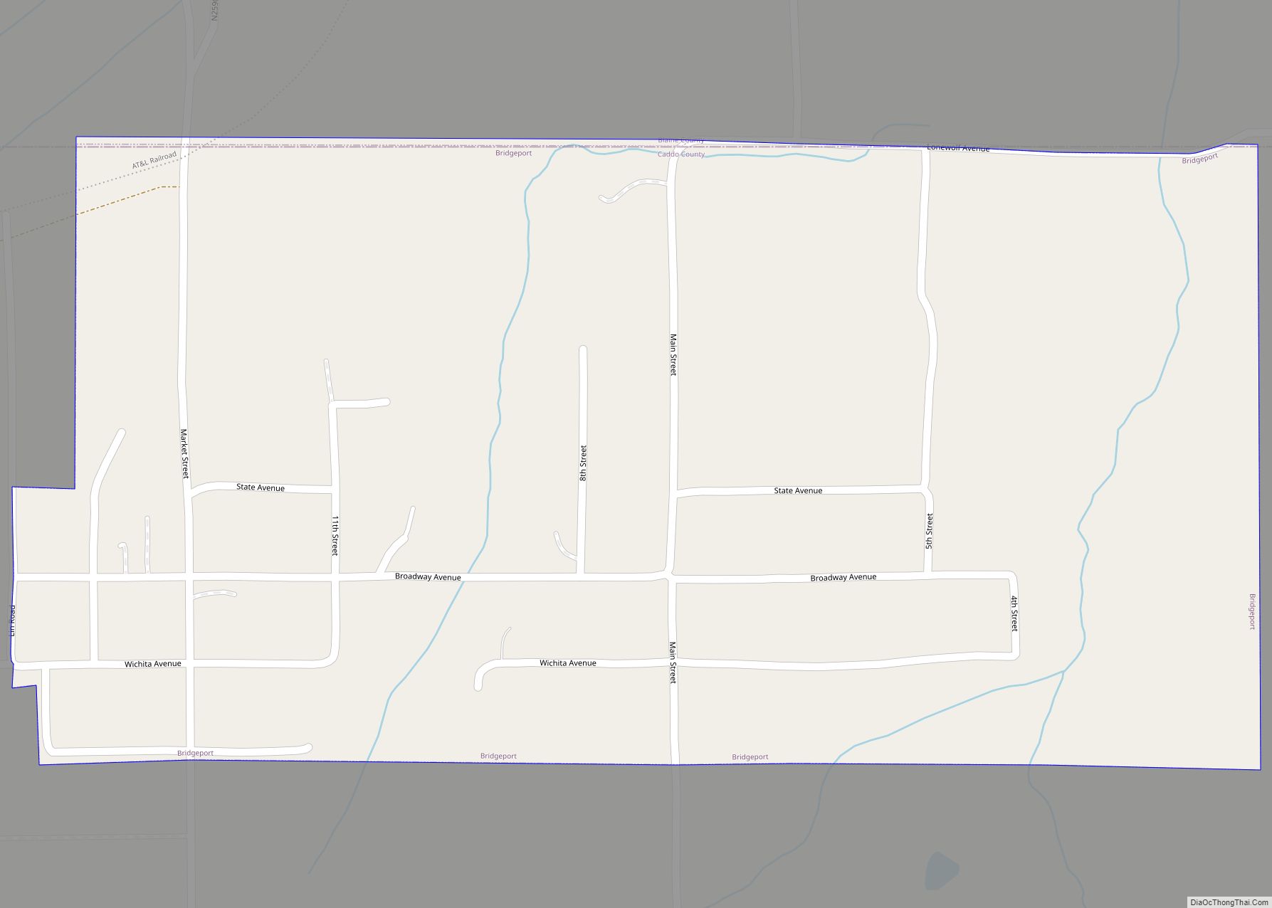
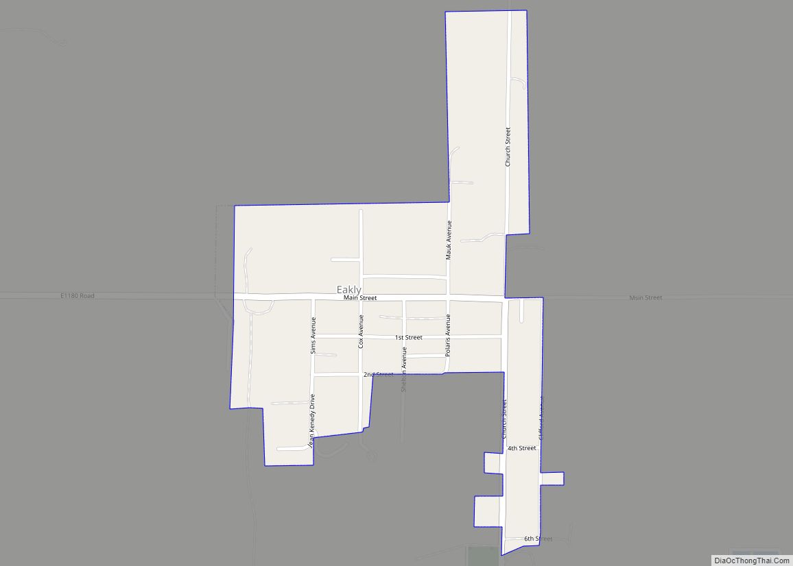
Hinton Road Map
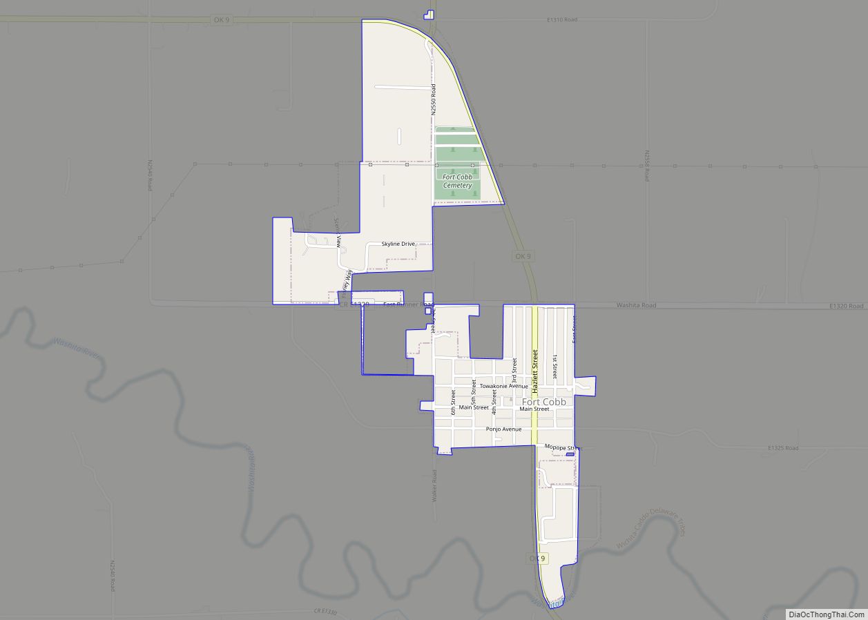
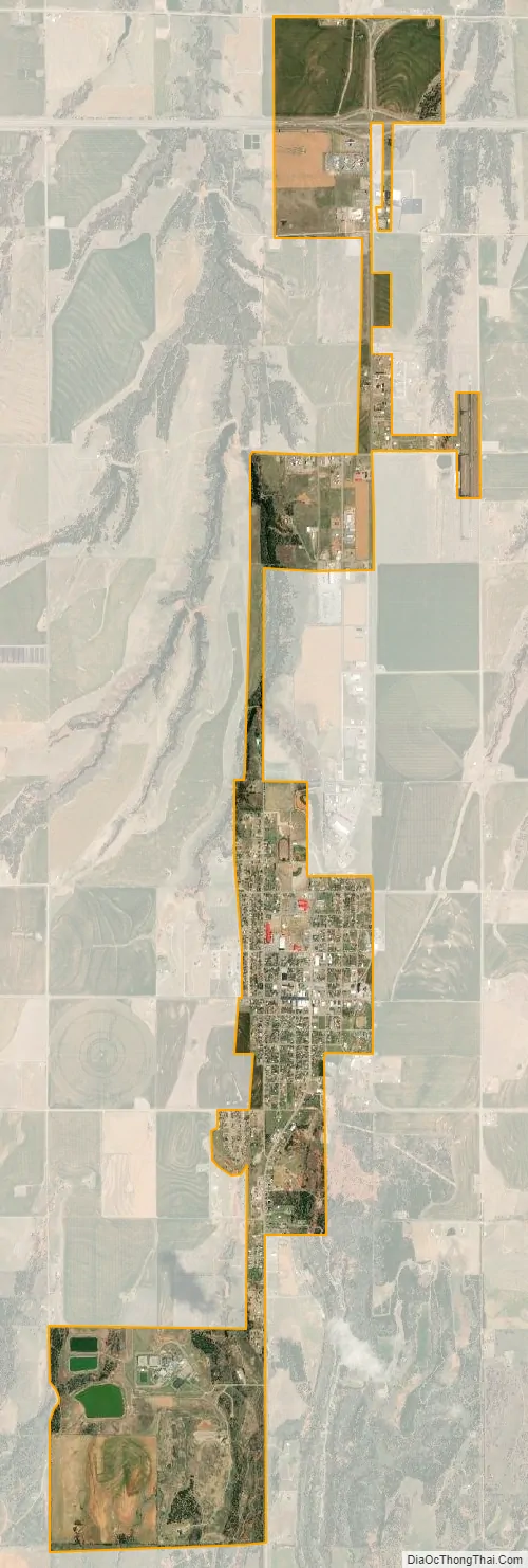
Hinton city Satellite Map
Geography
Hinton is located in northeastern Caddo County at 35°28′44″N 98°21′13″W / 35.47889°N 98.35361°W / 35.47889; -98.35361 (35.479004, -98.353748), at an elevation 1,676 feet (511 m). The town limits extend north from the settled part of town 4 miles (6 km) along U.S. Route 281 to Interstate 40 at Exit 101, from which it is 49 miles (79 km) east to the center of Oklahoma City.
According to the United States Census Bureau, the town of Hinton has a total area of 3.1 square miles (8.1 km), all land.
Hinton Municipal Airport (FAA ID: 2O8) is about 2 miles northeast, and features a 4001 x 60 ft. (1220 x 18 m) paved runway.
See also
Map of Oklahoma State and its subdivision:- Adair
- Alfalfa
- Atoka
- Beaver
- Beckham
- Blaine
- Bryan
- Caddo
- Canadian
- Carter
- Cherokee
- Choctaw
- Cimarron
- Cleveland
- Coal
- Comanche
- Cotton
- Craig
- Creek
- Custer
- Delaware
- Dewey
- Ellis
- Garfield
- Garvin
- Grady
- Grant
- Greer
- Harmon
- Harper
- Haskell
- Hughes
- Jackson
- Jefferson
- Johnston
- Kay
- Kingfisher
- Kiowa
- Latimer
- Le Flore
- Lincoln
- Logan
- Love
- Major
- Marshall
- Mayes
- McClain
- McCurtain
- McIntosh
- Murray
- Muskogee
- Noble
- Nowata
- Okfuskee
- Oklahoma
- Okmulgee
- Osage
- Ottawa
- Pawnee
- Payne
- Pittsburg
- Pontotoc
- Pottawatomie
- Pushmataha
- Roger Mills
- Rogers
- Seminole
- Sequoyah
- Stephens
- Texas
- Tillman
- Tulsa
- Wagoner
- Washington
- Washita
- Woods
- Woodward
- Alabama
- Alaska
- Arizona
- Arkansas
- California
- Colorado
- Connecticut
- Delaware
- District of Columbia
- Florida
- Georgia
- Hawaii
- Idaho
- Illinois
- Indiana
- Iowa
- Kansas
- Kentucky
- Louisiana
- Maine
- Maryland
- Massachusetts
- Michigan
- Minnesota
- Mississippi
- Missouri
- Montana
- Nebraska
- Nevada
- New Hampshire
- New Jersey
- New Mexico
- New York
- North Carolina
- North Dakota
- Ohio
- Oklahoma
- Oregon
- Pennsylvania
- Rhode Island
- South Carolina
- South Dakota
- Tennessee
- Texas
- Utah
- Vermont
- Virginia
- Washington
- West Virginia
- Wisconsin
- Wyoming