Hardesty is a town in Texas County, Oklahoma, United States. As of the 2010 census, the town population was 212.
| Name: | Hardesty town |
|---|---|
| LSAD Code: | 43 |
| LSAD Description: | town (suffix) |
| State: | Oklahoma |
| County: | Texas County |
| Elevation: | 2,907 ft (886 m) |
| Total Area: | 0.23 sq mi (0.58 km²) |
| Land Area: | 0.23 sq mi (0.58 km²) |
| Water Area: | 0.00 sq mi (0.00 km²) |
| Total Population: | 205 |
| Population Density: | 911.11/sq mi (352.22/km²) |
| ZIP code: | 73944 |
| Area code: | 580 |
| FIPS code: | 4032550 |
| GNISfeature ID: | 1093528 |
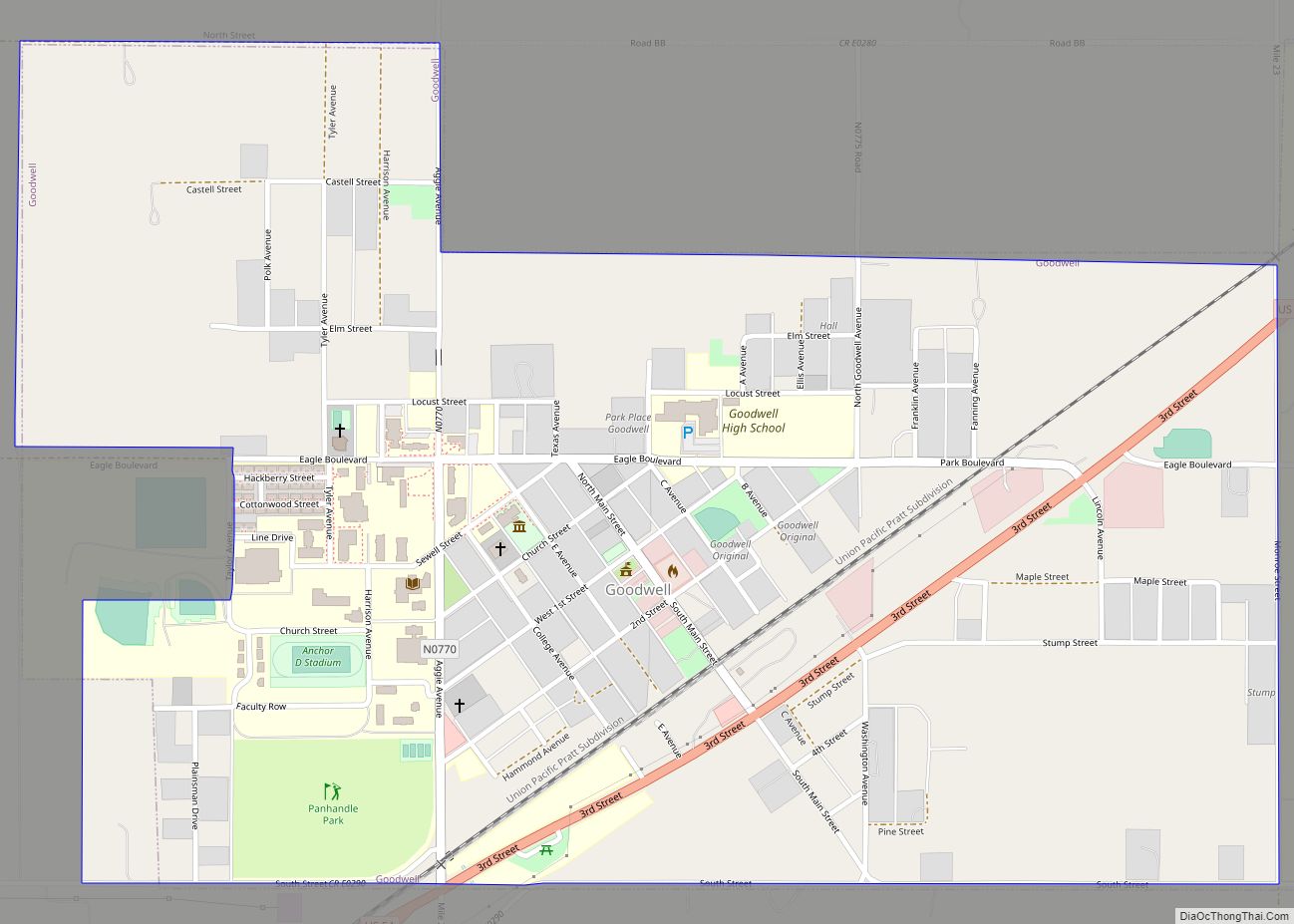
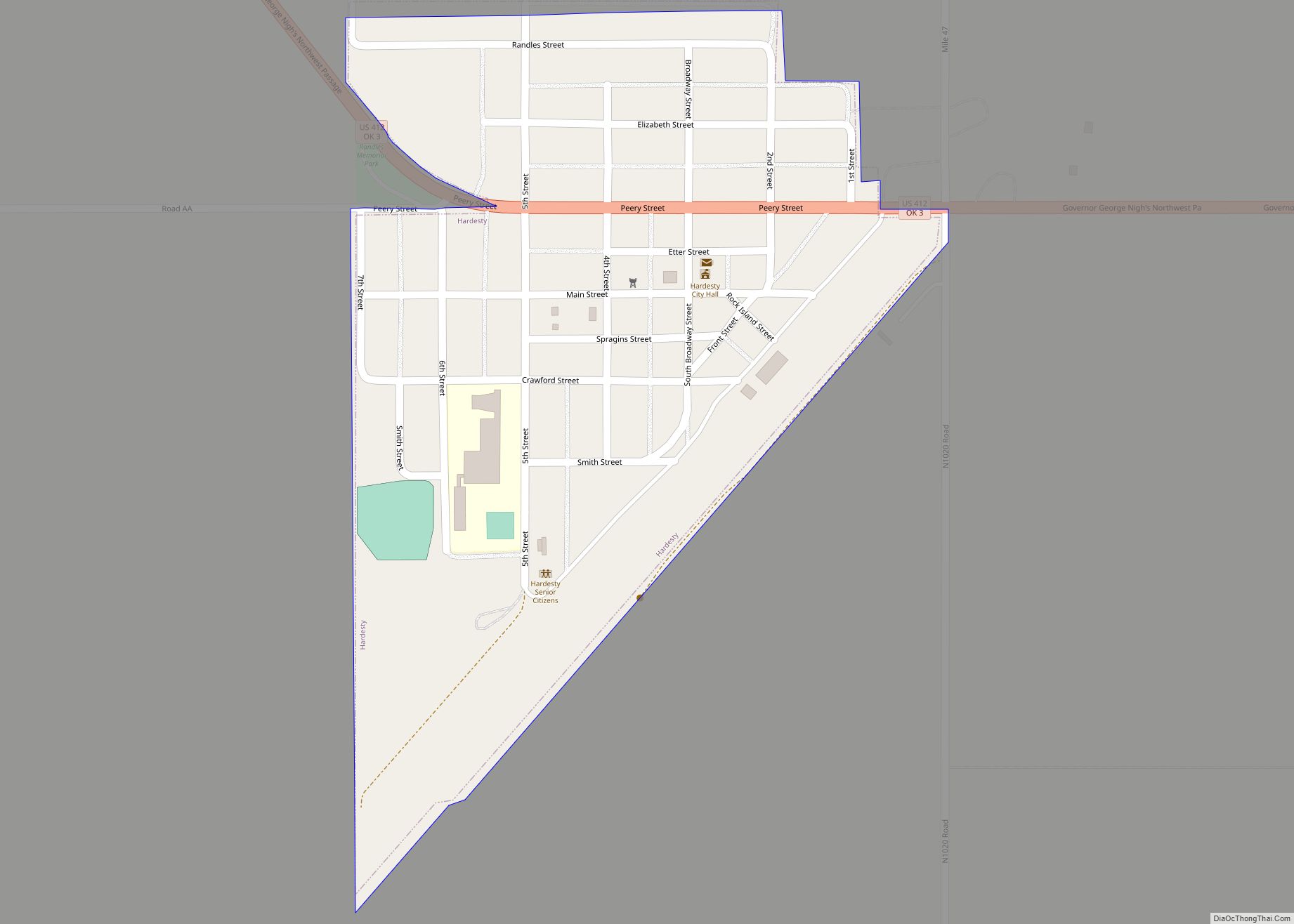
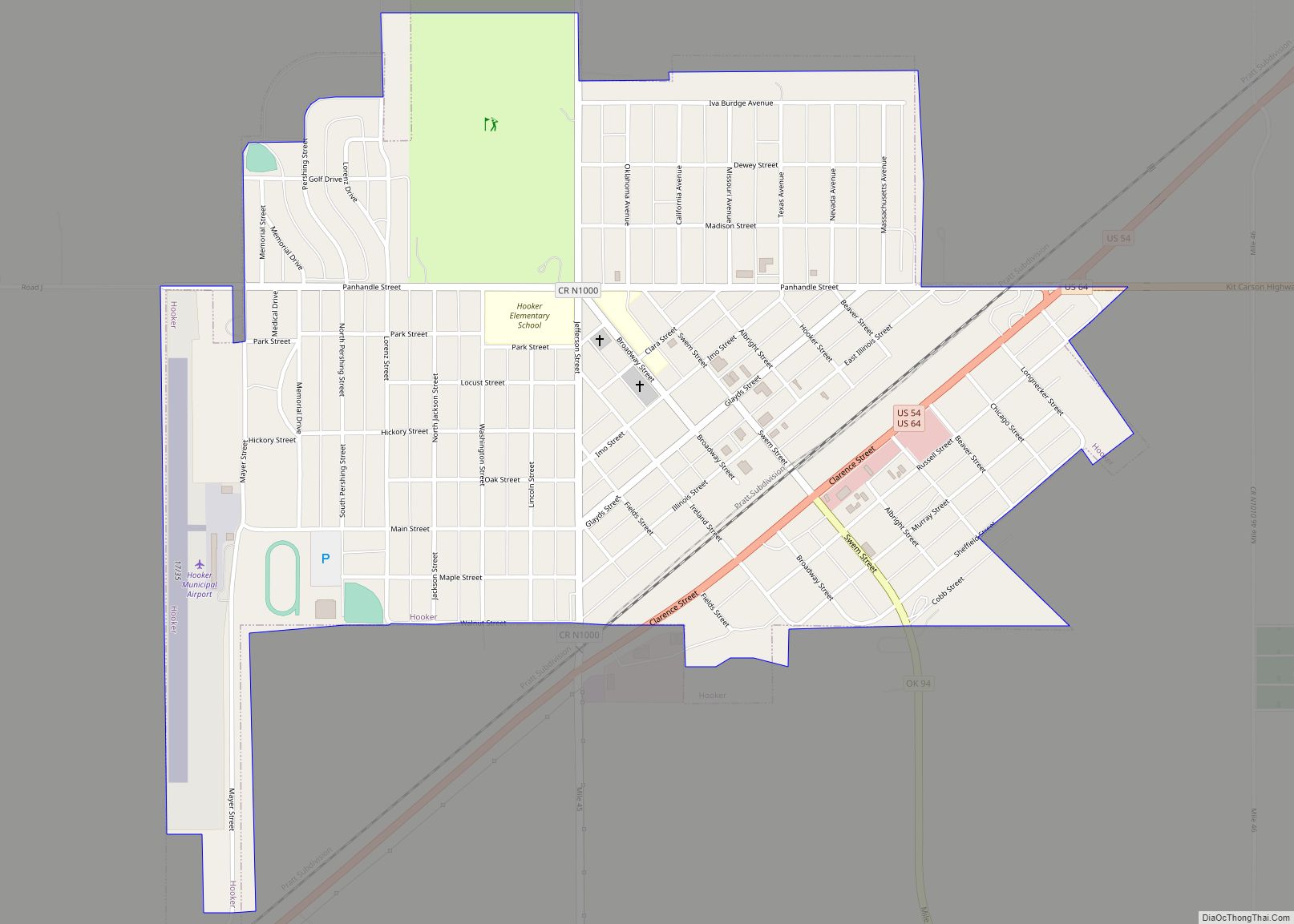
Online Interactive Map
Click on ![]() to view map in "full screen" mode.
to view map in "full screen" mode.
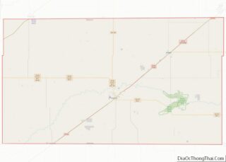
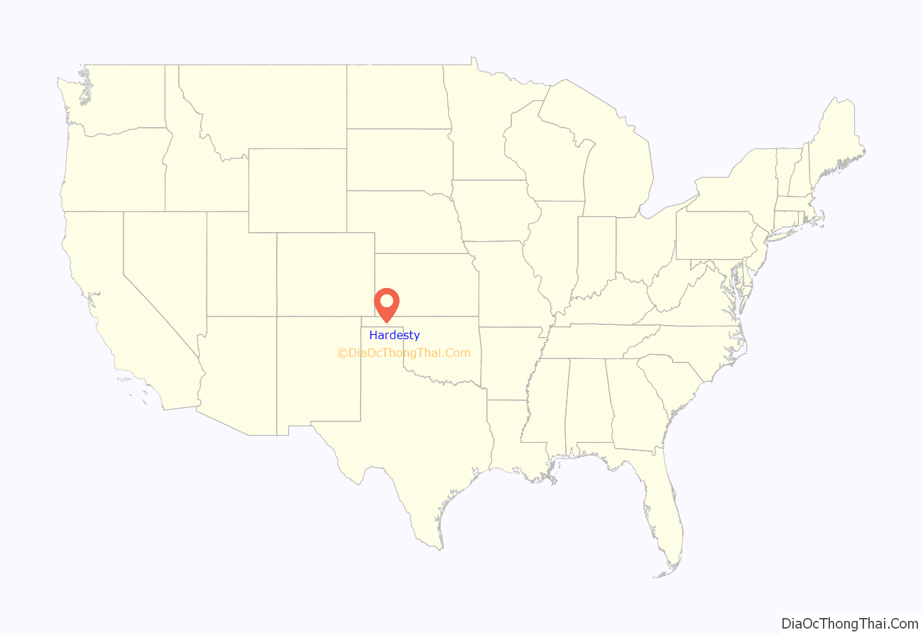
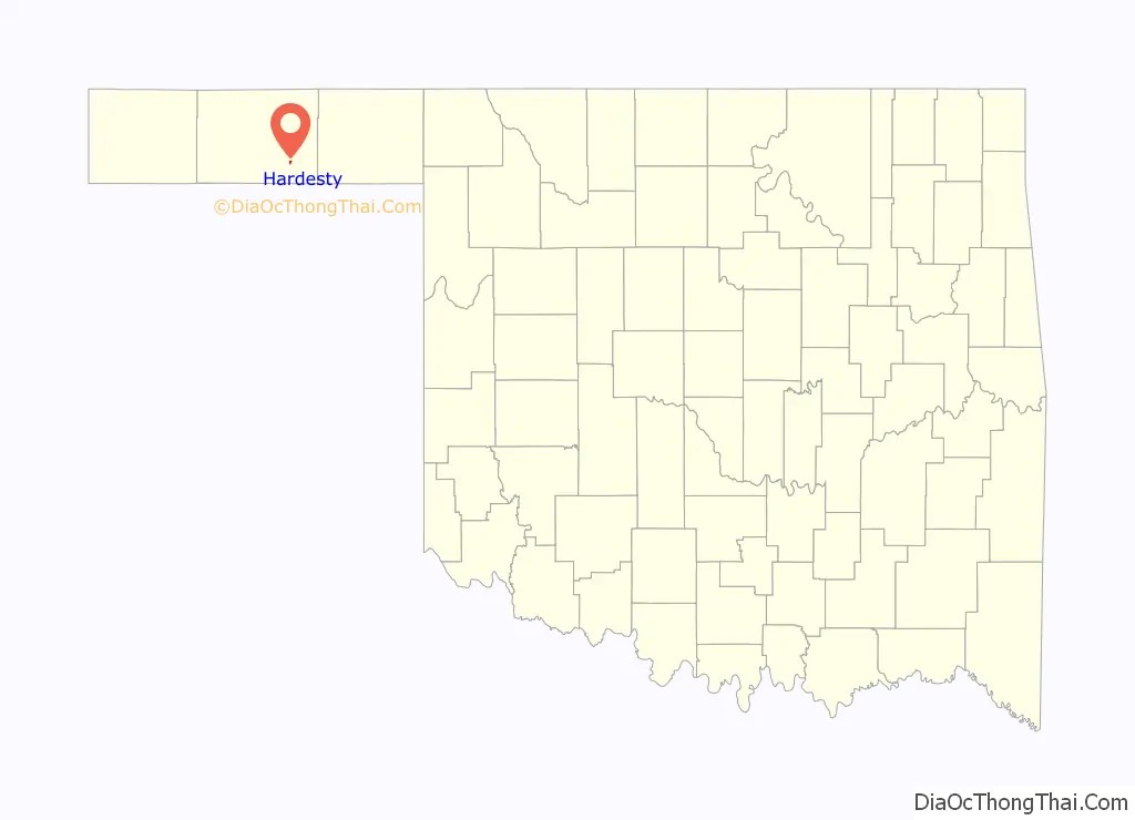
Hardesty location map. Where is Hardesty town?
History
The original Hardesty was four miles northeast of the present community. It had a post office in 1887, with the name honoring A.J. “Jack” Hardesty, who had interests in the area. However, the Rock Island railroad bypassed the town in 1901 and created the locale that became Guymon, Oklahoma. Most of Hardesty’s residents and businesses relocated to Guymon, and the original town withered.
When a second Rock Island line later came through the county near the old Hardesty in 1929, a new community along the route was named Hardesty at the insistence of locals. However, growth of the new Hardesty was stunted by the Great Depression and the Dust Bowl. The town nevertheless incorporated in 1947 and remains in place, complete with a post office and a school district covering 250 square miles.
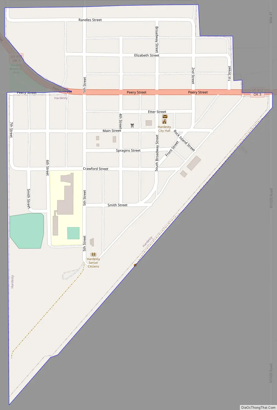
Hardesty Road Map
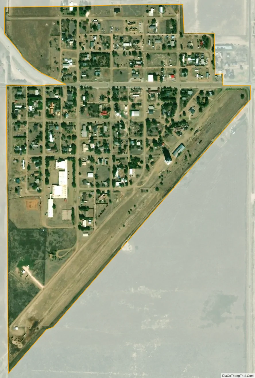
Hardesty city Satellite Map
Geography
Hardesty is just south of the Coldwater Creek arm of the Optima Lake project, including Optima National Wildlife Refuge, and the Optima Wildlife Management Area public hunting lands managed by the Oklahoma Department of Wildlife Conservation. The town is approximately 18 miles southeast of Guymon along Oklahoma State Highway 3, which runs concurrently with U.S. Route 412 through Hardesty.
See also
Map of Oklahoma State and its subdivision:- Adair
- Alfalfa
- Atoka
- Beaver
- Beckham
- Blaine
- Bryan
- Caddo
- Canadian
- Carter
- Cherokee
- Choctaw
- Cimarron
- Cleveland
- Coal
- Comanche
- Cotton
- Craig
- Creek
- Custer
- Delaware
- Dewey
- Ellis
- Garfield
- Garvin
- Grady
- Grant
- Greer
- Harmon
- Harper
- Haskell
- Hughes
- Jackson
- Jefferson
- Johnston
- Kay
- Kingfisher
- Kiowa
- Latimer
- Le Flore
- Lincoln
- Logan
- Love
- Major
- Marshall
- Mayes
- McClain
- McCurtain
- McIntosh
- Murray
- Muskogee
- Noble
- Nowata
- Okfuskee
- Oklahoma
- Okmulgee
- Osage
- Ottawa
- Pawnee
- Payne
- Pittsburg
- Pontotoc
- Pottawatomie
- Pushmataha
- Roger Mills
- Rogers
- Seminole
- Sequoyah
- Stephens
- Texas
- Tillman
- Tulsa
- Wagoner
- Washington
- Washita
- Woods
- Woodward
- Alabama
- Alaska
- Arizona
- Arkansas
- California
- Colorado
- Connecticut
- Delaware
- District of Columbia
- Florida
- Georgia
- Hawaii
- Idaho
- Illinois
- Indiana
- Iowa
- Kansas
- Kentucky
- Louisiana
- Maine
- Maryland
- Massachusetts
- Michigan
- Minnesota
- Mississippi
- Missouri
- Montana
- Nebraska
- Nevada
- New Hampshire
- New Jersey
- New Mexico
- New York
- North Carolina
- North Dakota
- Ohio
- Oklahoma
- Oregon
- Pennsylvania
- Rhode Island
- South Carolina
- South Dakota
- Tennessee
- Texas
- Utah
- Vermont
- Virginia
- Washington
- West Virginia
- Wisconsin
- Wyoming