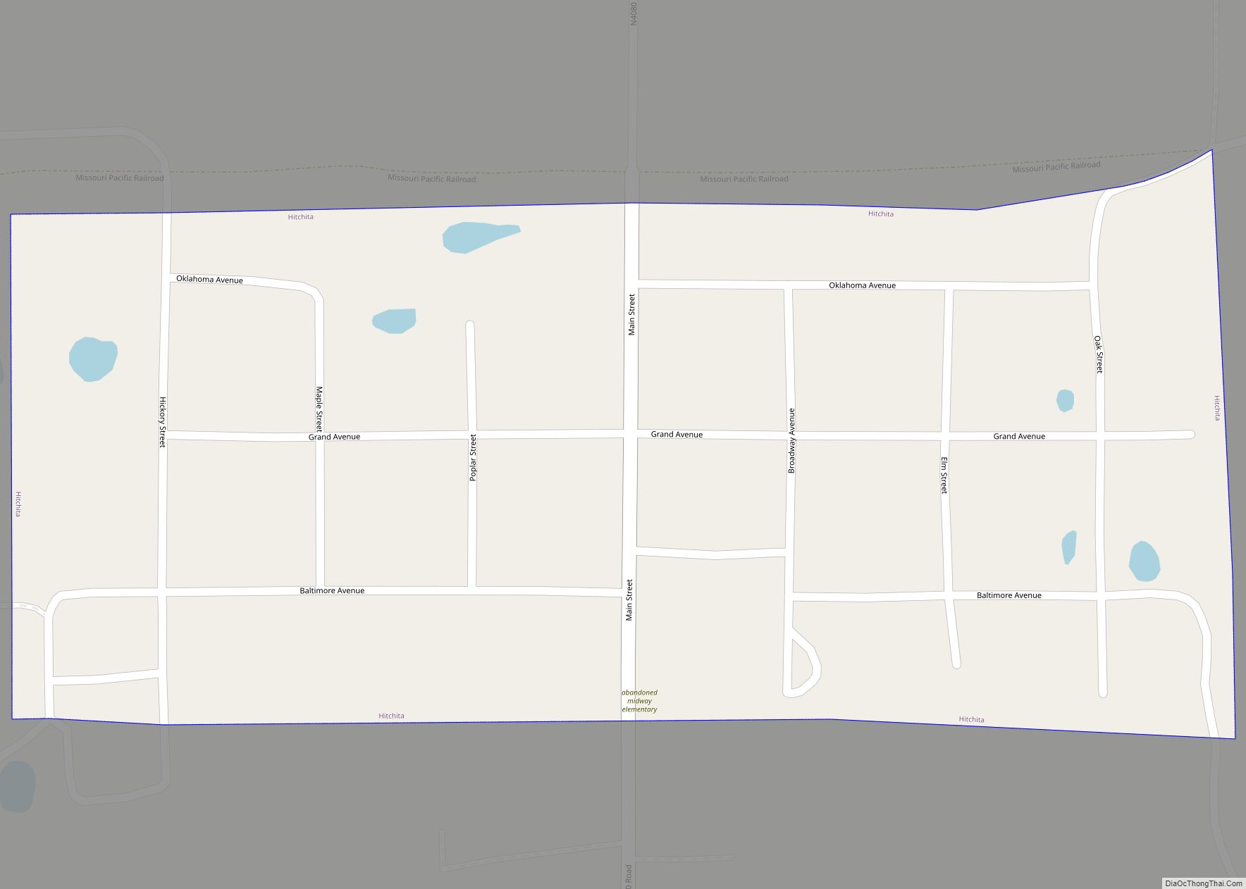
Hitchita is a town in McIntosh County, Oklahoma, United States. The Encyclopedia of Oklahoma History and Culture says that the town was named for a band of Muskhogean Indians that had been absorbed into the Creek tribe. The population was 88 at the 2010 census, a decline of 22.1 percent from 113 in 2000.
| Name: | Hitchita town |
|---|---|
| LSAD Code: | 43 |
| LSAD Description: | town (suffix) |
| State: | Oklahoma |
| County: | McIntosh County |
| Elevation: | 650 ft (198 m) |
| Total Area: | 0.11 sq mi (0.29 km²) |
| Land Area: | 0.11 sq mi (0.29 km²) |
| Water Area: | 0.00 sq mi (0.00 km²) |
| Total Population: | 60 |
| Population Density: | 540.54/sq mi (209.19/km²) |
| ZIP code: | 74438 |
| Area code: | 539/918 |
| FIPS code: | 4034900 |
| GNISfeature ID: | 1093800 |
Online Interactive Map
Click on ![]() to view map in "full screen" mode.
to view map in "full screen" mode.
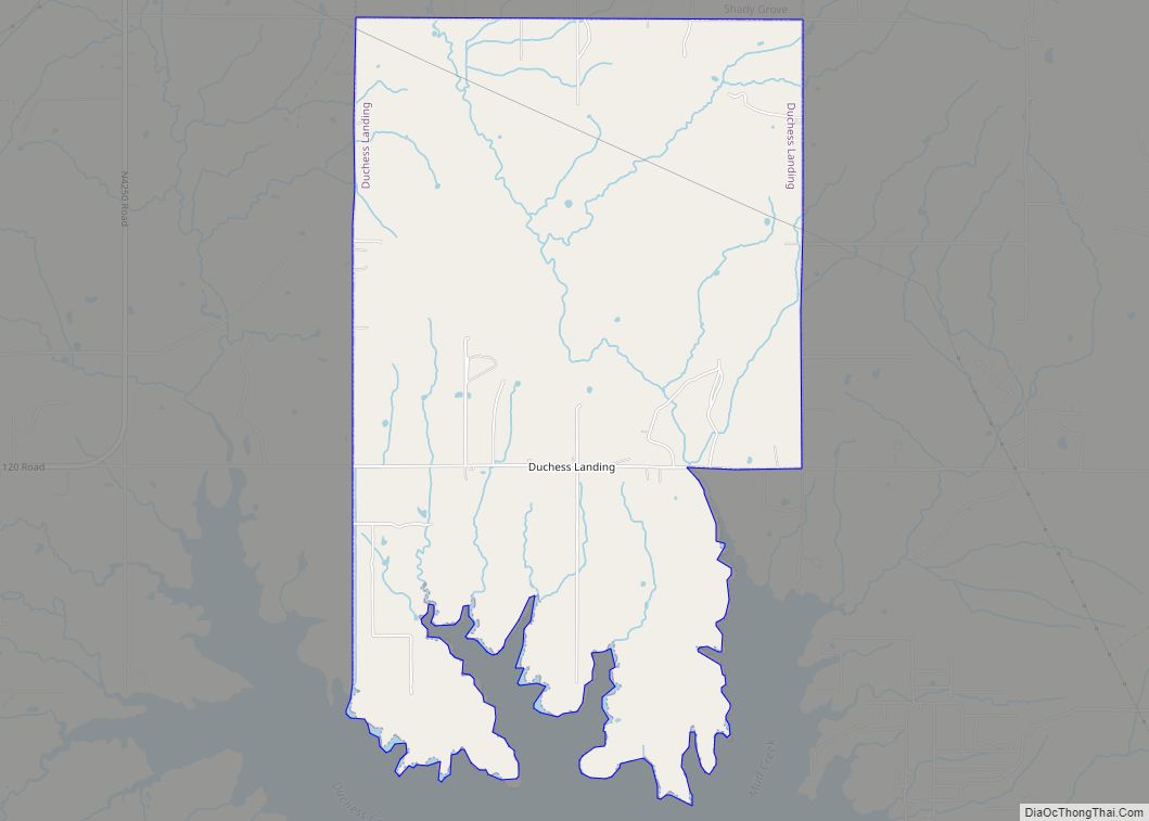
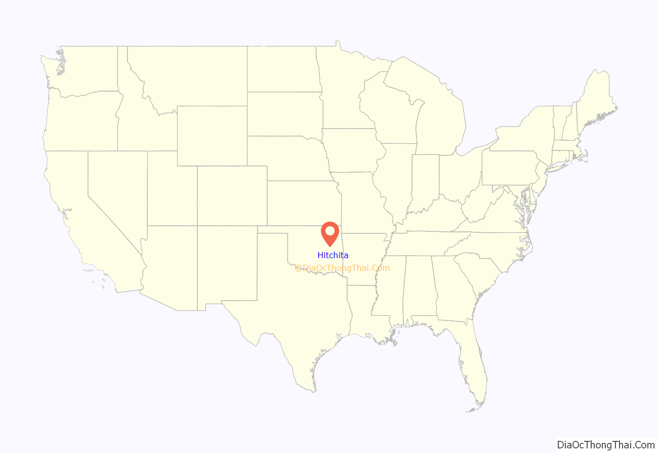
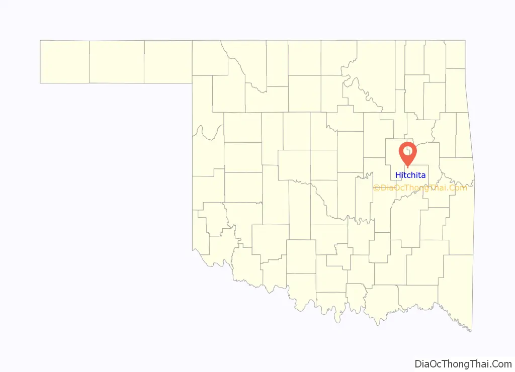
Hitchita location map. Where is Hitchita town?
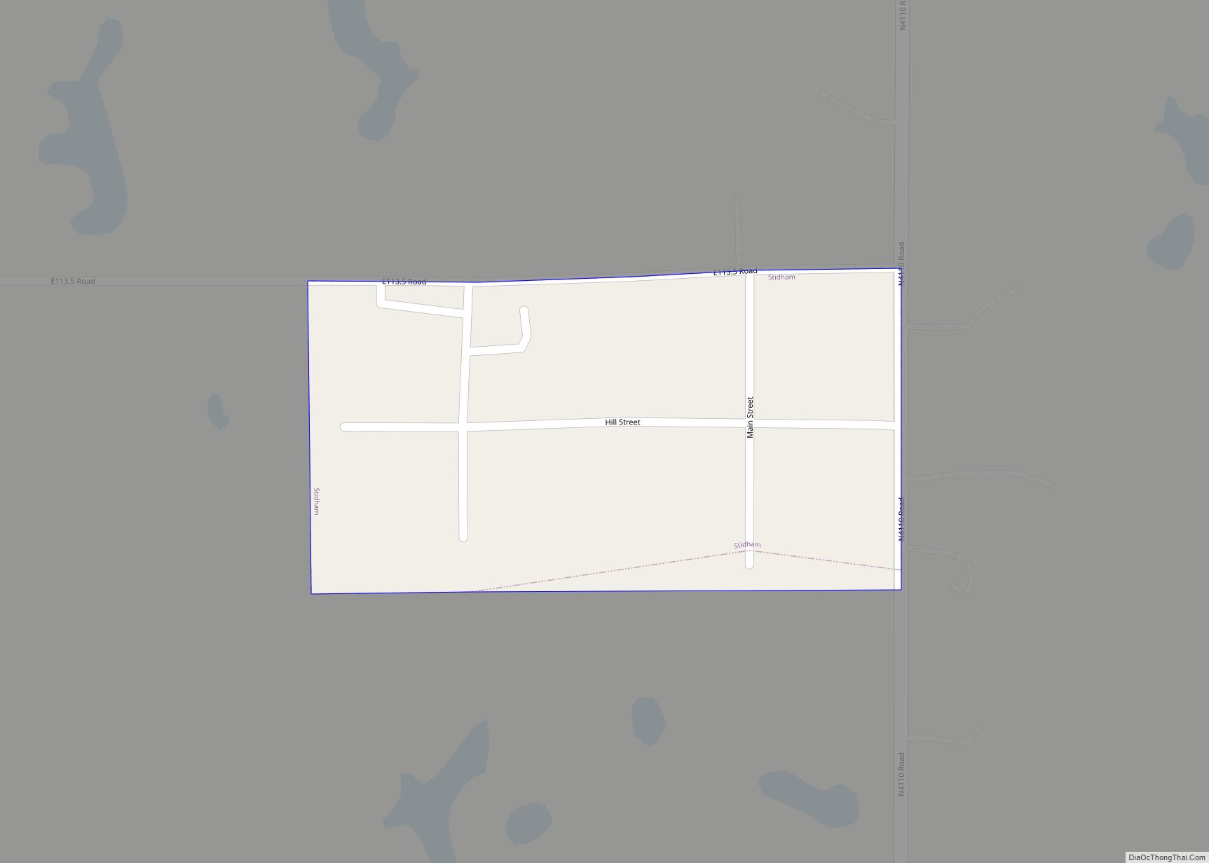
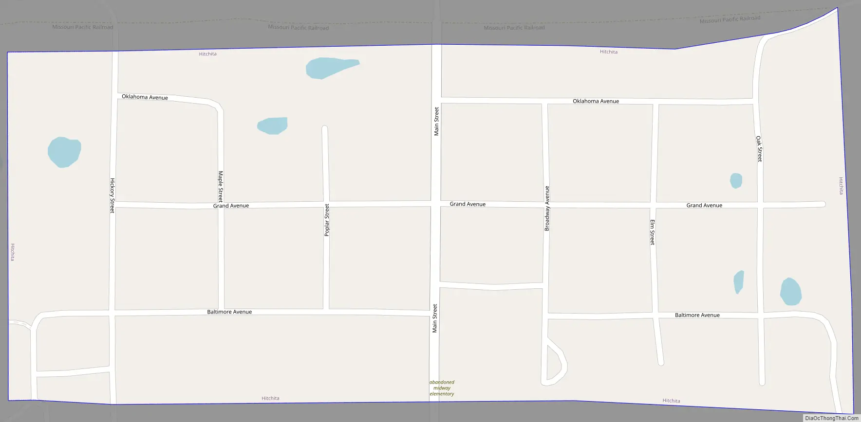
Hitchita Road Map
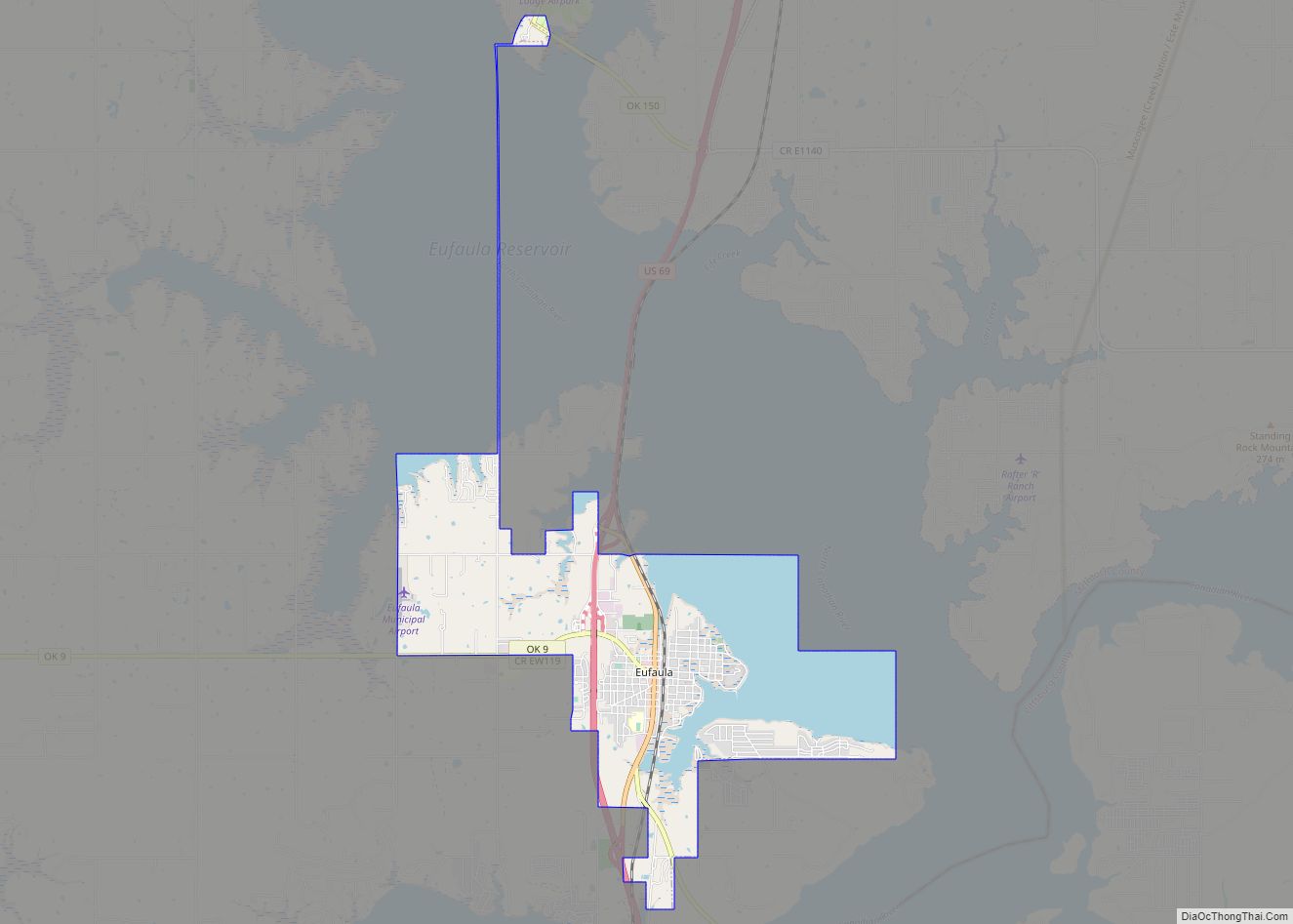
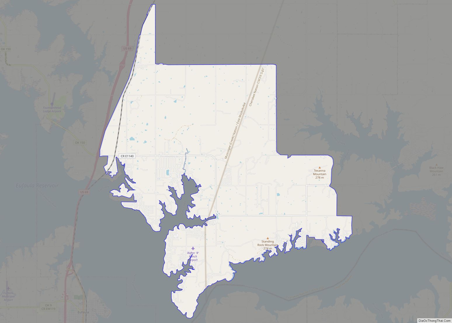
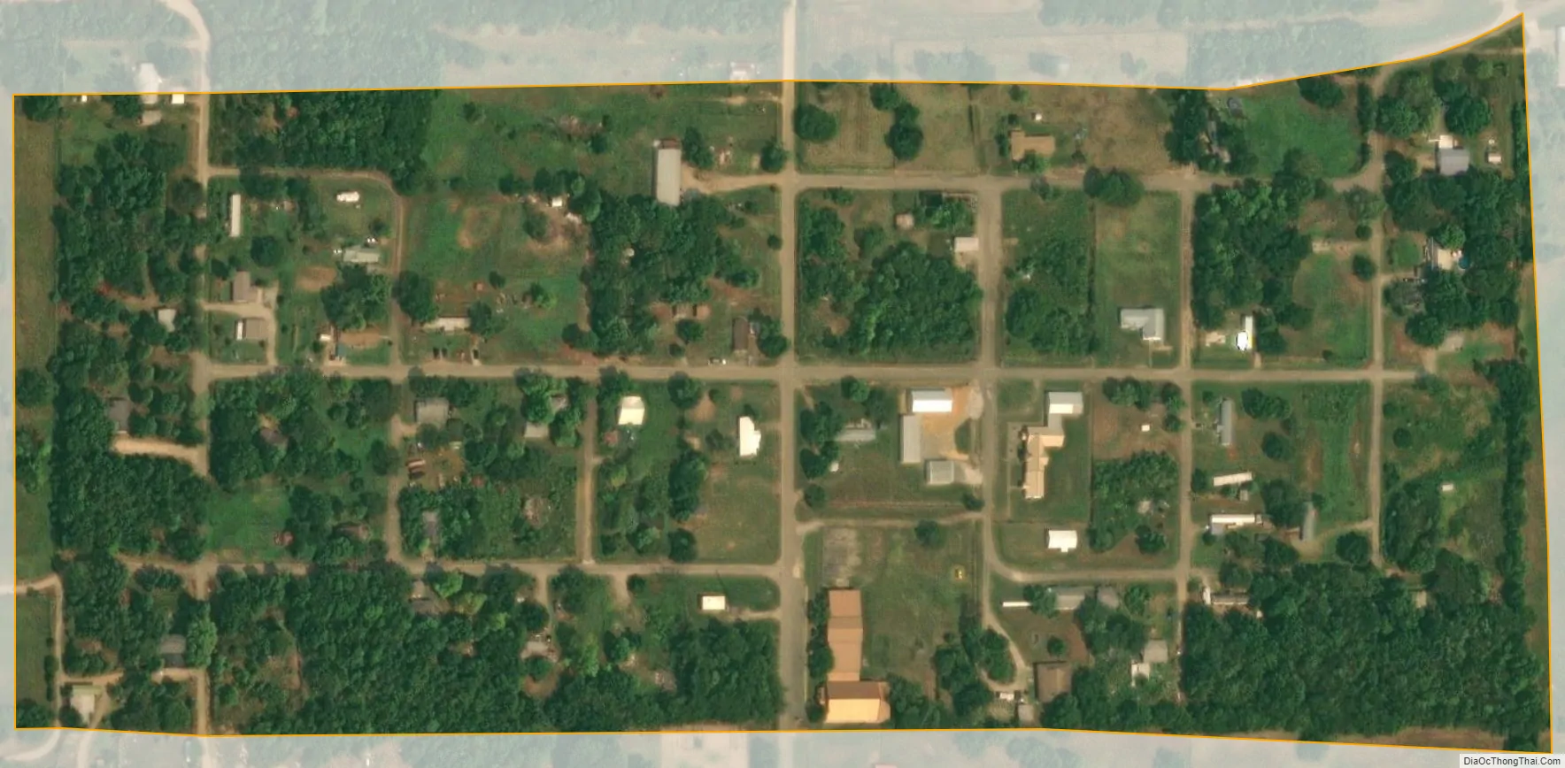
Hitchita city Satellite Map
Geography
Hitchita is located at 35°31′10″N 95°45′09″W / 35.519501°N 95.752410°W / 35.519501; -95.752410, in the vicinity of the area known as the High Spring Mountains.
According to the United States Census Bureau, the town has a total area of 0.1 square miles (0.26 km), all land.
Hitchita is southeast of Okmulgee, northeast of Henryetta, and directly north of Oklahoma’s largest lake, Lake Eufaula.
See also
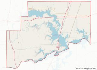
Map of Oklahoma State and its subdivision:- Adair
- Alfalfa
- Atoka
- Beaver
- Beckham
- Blaine
- Bryan
- Caddo
- Canadian
- Carter
- Cherokee
- Choctaw
- Cimarron
- Cleveland
- Coal
- Comanche
- Cotton
- Craig
- Creek
- Custer
- Delaware
- Dewey
- Ellis
- Garfield
- Garvin
- Grady
- Grant
- Greer
- Harmon
- Harper
- Haskell
- Hughes
- Jackson
- Jefferson
- Johnston
- Kay
- Kingfisher
- Kiowa
- Latimer
- Le Flore
- Lincoln
- Logan
- Love
- Major
- Marshall
- Mayes
- McClain
- McCurtain
- McIntosh
- Murray
- Muskogee
- Noble
- Nowata
- Okfuskee
- Oklahoma
- Okmulgee
- Osage
- Ottawa
- Pawnee
- Payne
- Pittsburg
- Pontotoc
- Pottawatomie
- Pushmataha
- Roger Mills
- Rogers
- Seminole
- Sequoyah
- Stephens
- Texas
- Tillman
- Tulsa
- Wagoner
- Washington
- Washita
- Woods
- Woodward
- Alabama
- Alaska
- Arizona
- Arkansas
- California
- Colorado
- Connecticut
- Delaware
- District of Columbia
- Florida
- Georgia
- Hawaii
- Idaho
- Illinois
- Indiana
- Iowa
- Kansas
- Kentucky
- Louisiana
- Maine
- Maryland
- Massachusetts
- Michigan
- Minnesota
- Mississippi
- Missouri
- Montana
- Nebraska
- Nevada
- New Hampshire
- New Jersey
- New Mexico
- New York
- North Carolina
- North Dakota
- Ohio
- Oklahoma
- Oregon
- Pennsylvania
- Rhode Island
- South Carolina
- South Dakota
- Tennessee
- Texas
- Utah
- Vermont
- Virginia
- Washington
- West Virginia
- Wisconsin
- Wyoming