Map of Orange Grove Mobile Manor CDP
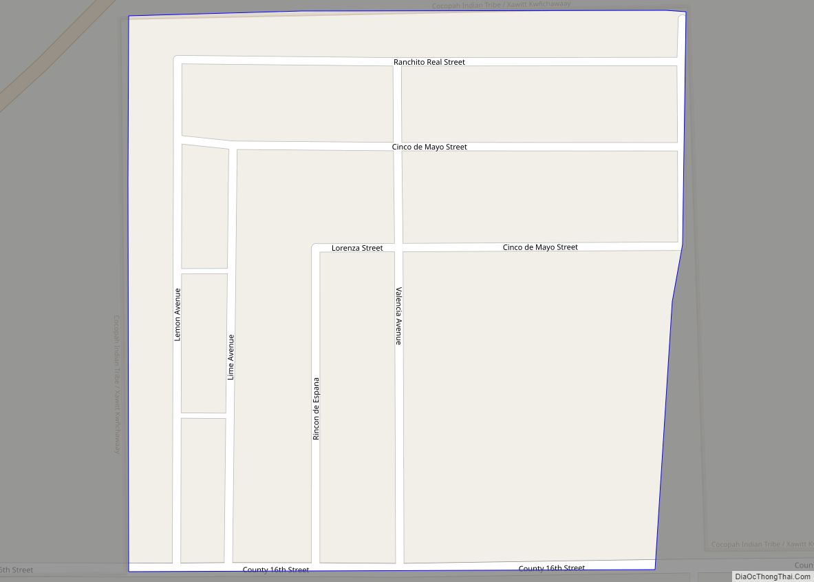
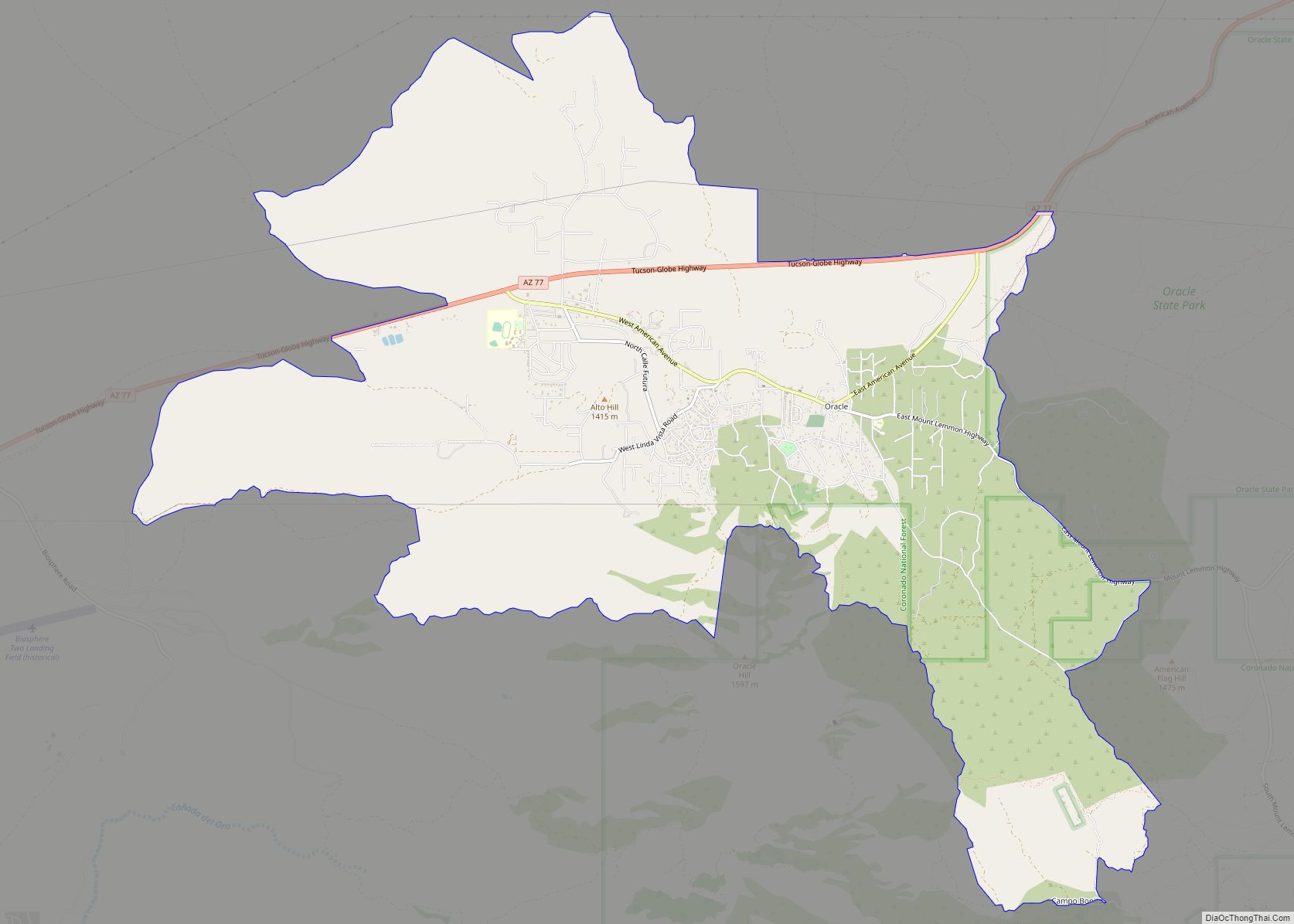
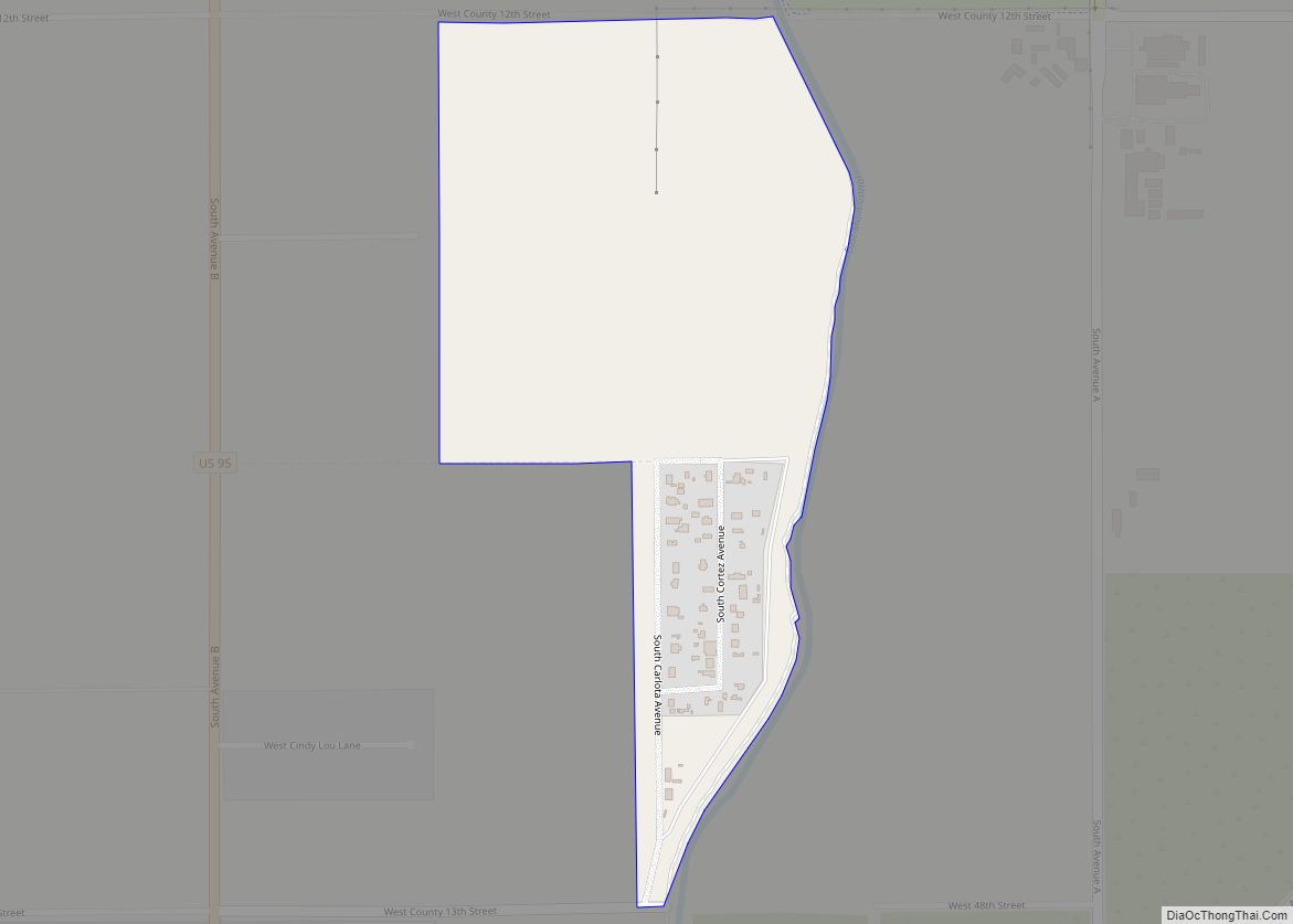
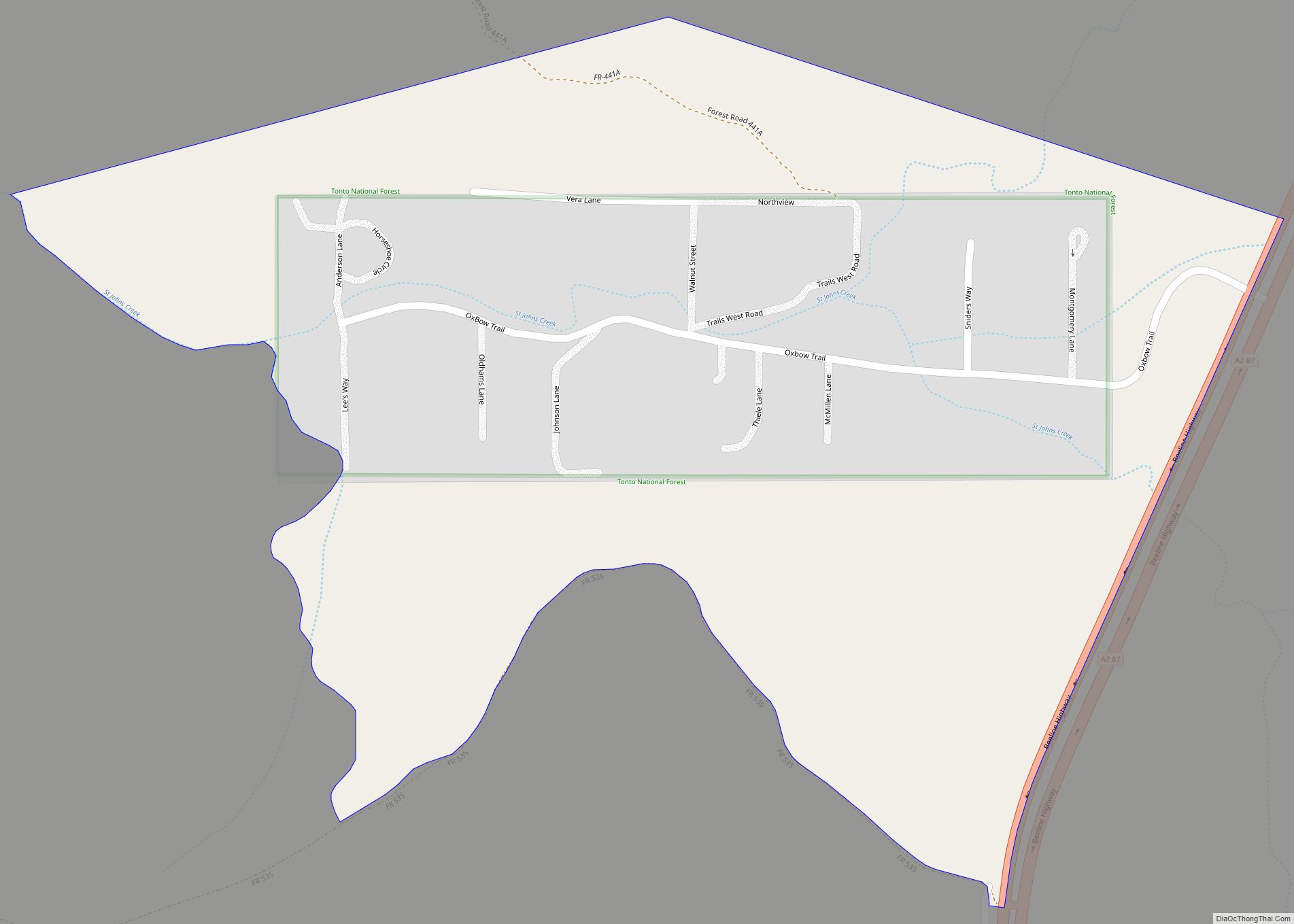
Orange Grove Mobile Manor is a census-designated place (CDP) and colonia in Yuma County, Arizona, United States. The population was 555 at the 2010 census. It is part of the Yuma Metropolitan Statistical Area. Orange Grove Mobile Manor CDP overview: Name: Orange Grove Mobile Manor CDP LSAD Code: 57 LSAD Description: CDP (suffix) State: Arizona ... Read more
Map of Orange Grove Mobile Manor CDP
Map of Oracle CDP
Oracle is a census-designated place (CDP) in Pinal County, Arizona, United States. The population was 3,686 at the 2010 Census, falling to 3,051 at the 2020 Census. Buffalo Bill Cody owned the High Jinks Gold Mine in Oracle briefly and, in 1911, appeared as “Santa” for a group of local children. The community is the ... Read more
Map of Oracle CDP
Map of Padre Ranchitos CDP
Padre Ranchitos is a census-designated place (CDP) situated near both the international border with Mexico, and the state border with California, in Yuma County, Arizona, United States. The population was 171 at the 2010 census. Padre Ranchitos CDP overview: Name: Padre Ranchitos CDP LSAD Code: 57 LSAD Description: CDP (suffix) State: Arizona County: Yuma County ... Read more
Map of Padre Ranchitos CDP
Map of Oxbow Estates CDP
Oxbow Estates is a census-designated place (CDP) in Gila County, Arizona, United States. The population was 217 at the 2010 census. Oxbow Estates CDP overview: Name: Oxbow Estates CDP LSAD Code: 57 LSAD Description: CDP (suffix) State: Arizona County: Gila County Elevation: 4,630 ft (1,410 m) Total Area: 0.49 sq mi (1.28 km²) Land Area: 0.49 sq mi (1.28 km²) Water Area: 0.00 sq mi ... Read more
Map of Oxbow Estates CDP
Map of Oro Valley town
Oro Valley, incorporated in 1974, is a suburban town located 6 miles (9.7 km) north of Tucson, Arizona, United States, in Pima County. According to the 2020 census, the population of the town is 47,070, an increase from 29,700 in 2000. Dubbed the “Upscale Tech Mecca” of Southern Arizona by the Arizona Daily Star newspaper, Oro ... Read more
Map of Oro Valley town
Map of Paradise Valley town, Arizona
Paradise Valley is a town in Maricopa County, Arizona, United States, and a suburb of Phoenix. It is Arizona’s wealthiest municipality. The town is known for its luxury golf courses, shopping, expensive real estate, and restaurant scene. According to the 2020 census, its population was 12,658. Despite its relatively small area and population compared to ... Read more
Map of Paradise Valley town, Arizona
Map of Palominas CDP
Palominas is a census-designated place located along the San Pedro River in the southern portion of Cochise County in the state of Arizona, United States. Palominas is located very close to the community of Miracle Valley along Arizona State Highway 92. The population of Palominas as of the 2020 U.S. Census was 222. Palominas CDP ... Read more
Map of Palominas CDP
Map of Page city, Arizona
Page is a city in Coconino County, Arizona, United States, near the Glen Canyon Dam and Lake Powell. As of the 2010 census, the population of the city was 7,247. Page city overview: Name: Page city LSAD Code: 25 LSAD Description: city (suffix) State: Arizona County: Coconino County Elevation: 4,118 ft (1,255 m) Total Area: 38.33 sq mi (99.27 km²) ... Read more
Map of Page city, Arizona
Map of Parks CDP, Arizona
Parks is a census-designated place (CDP) in Coconino County, Arizona, United States. The population was 1,188 at the 2010 census. Parks CDP overview: Name: Parks CDP LSAD Code: 57 LSAD Description: CDP (suffix) State: Arizona County: Coconino County Elevation: 7,079 ft (2,158 m) Total Area: 169.92 sq mi (440.09 km²) Land Area: 169.90 sq mi (440.03 km²) Water Area: 0.02 sq mi (0.06 km²) Total Population: ... Read more
Map of Parks CDP, Arizona
Map of Parker town, Arizona
Parker (Mojave ‘Amat Kuhwely, formerly ‘Ahwe Nyava) is the county seat of La Paz County, Arizona, United States, on the Colorado River in Parker Valley. As of the 2020 census, the population of the city was 3,417. Parker town overview: Name: Parker town LSAD Code: 43 LSAD Description: town (suffix) State: Arizona County: La Paz ... Read more
Map of Parker town, Arizona
Map of Parker Strip CDP
Parker Strip is a census-designated place (CDP) in La Paz County, Arizona, United States. The population was 662 at the 2010 census. Parker Strip CDP overview: Name: Parker Strip CDP LSAD Code: 57 LSAD Description: CDP (suffix) State: Arizona County: La Paz County Elevation: 395 ft (120 m) Total Area: 4.16 sq mi (10.78 km²) Land Area: 3.13 sq mi (8.10 km²) Water ... Read more
Map of Parker Strip CDP
Map of Payson town, Arizona
Payson is a town in northern Gila County, Arizona, United States. Due to Payson’s location being very near to the geographic center of Arizona, it has been called “The Heart of Arizona”. The town is surrounded by the Tonto National Forest, the largest of the six national forests in Arizona and is the ninth largest ... Read more
Map of Payson town, Arizona