Paradise Valley is a town in Maricopa County, Arizona, United States, and a suburb of Phoenix. It is Arizona’s wealthiest municipality. The town is known for its luxury golf courses, shopping, expensive real estate, and restaurant scene. According to the 2020 census, its population was 12,658. Despite its relatively small area and population compared to other municipalities in the Phoenix metropolitan area, Paradise Valley is home to eight full-service resorts, making it one of Arizona’s premier tourist destinations.
The town’s name comes from the expansive area known as Paradise Valley that spreads from north of the Phoenix Mountains to Cave Creek and Carefree on the north and the McDowell Mountains to the east. Resident children attend schools in the Scottsdale Unified School District.
| Name: | Paradise Valley town |
|---|---|
| LSAD Code: | 43 |
| LSAD Description: | town (suffix) |
| State: | Arizona |
| County: | Maricopa County |
| Elevation: | 1,854 ft (565 m) |
| Total Area: | 15.41 sq mi (39.90 km²) |
| Land Area: | 15.38 sq mi (39.83 km²) |
| Water Area: | 0.03 sq mi (0.07 km²) |
| Total Population: | 12,658 |
| Population Density: | 823.02/sq mi (317.77/km²) |
| ZIP code: | 85253 |
| Area code: | 480 |
| FIPS code: | 0452930 |
| GNISfeature ID: | 2413114 |
| Website: | www.ci.paradise-valley.az.us |
Online Interactive Map
Click on ![]() to view map in "full screen" mode.
to view map in "full screen" mode.
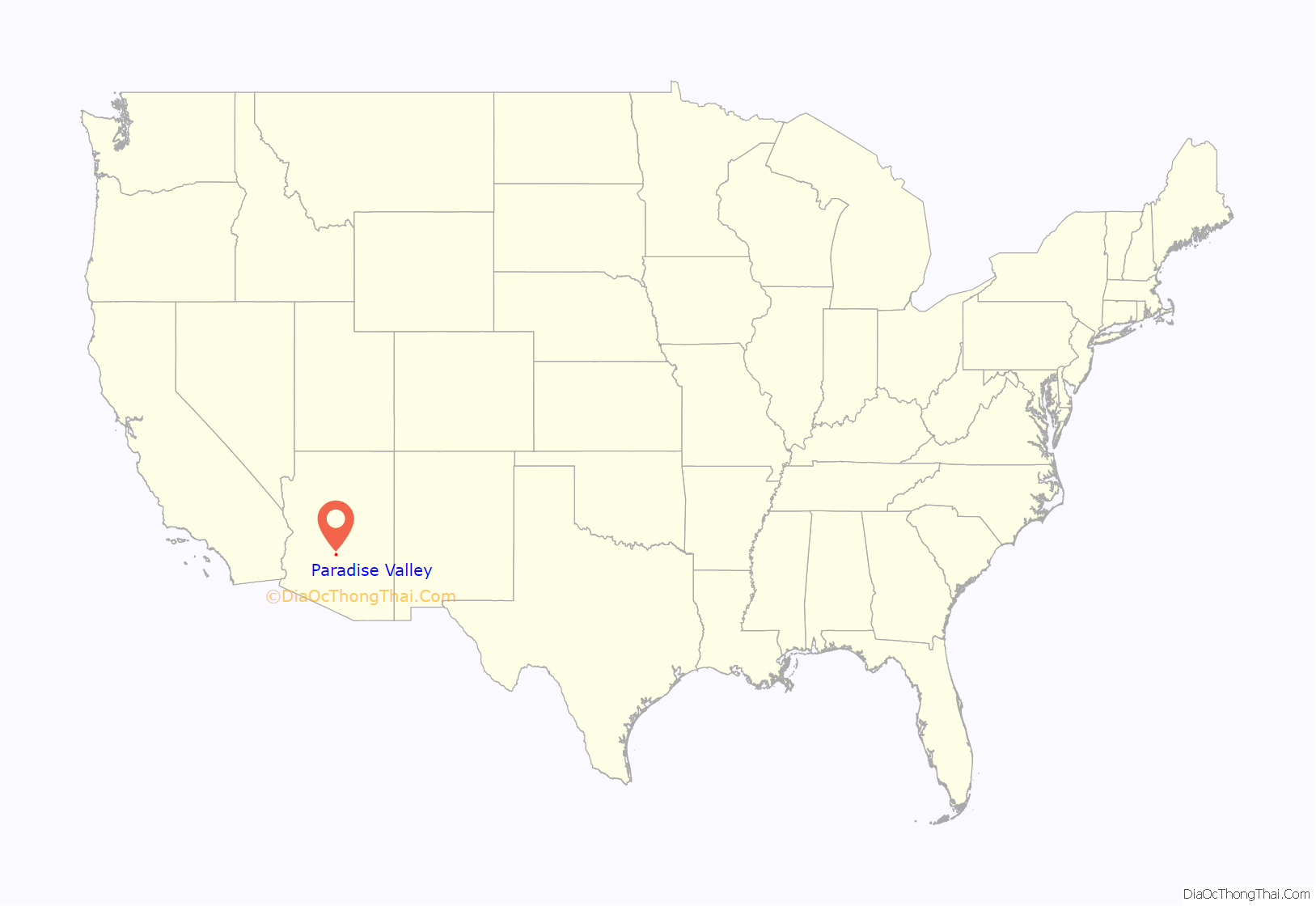
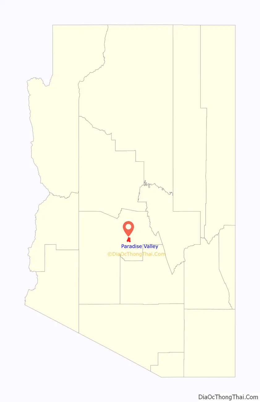
Paradise Valley location map. Where is Paradise Valley town?
History
The town’s history dates to a more agrarian society. After the initial European settlement, Paradise Valley was first used for cattle grazing. In the 1880s, when the land was being surveyed so it could be developed into agricultural lots, the name “Paradise Valley” first came into use, given by surveyors from the Rio Verde Canal Company and its manager at the time, Frank Conkey. The name may have been chosen due to the abundance of spring wildflowers and palo verde trees. Mainly an agricultural area during the 1800s and the first half of the 1900s, the area began to be settled after World War II, on large, one-to-five-acre (4,000 to 20,200 m) lots for which it became known.
As the neighboring settlements of Phoenix and Scottsdale began to grow and annex adjoining areas, the residents of what became Paradise Valley were concerned that the qualities they most valued would be lost if they were consumed by their larger neighbors. These residents formed the “Citizens Committee for the Incorporation of The Town of Paradise Valley, Arizona”, which collected enough signatures to take to the Maricopa County Board of Supervisors. The supervisors granted the petition, allowing the town of Paradise Valley to be incorporated on May 24, 1961.
Today, Paradise Valley is Phoenix’s wealthiest suburb, known primarily for its many resorts and expensive real estate.
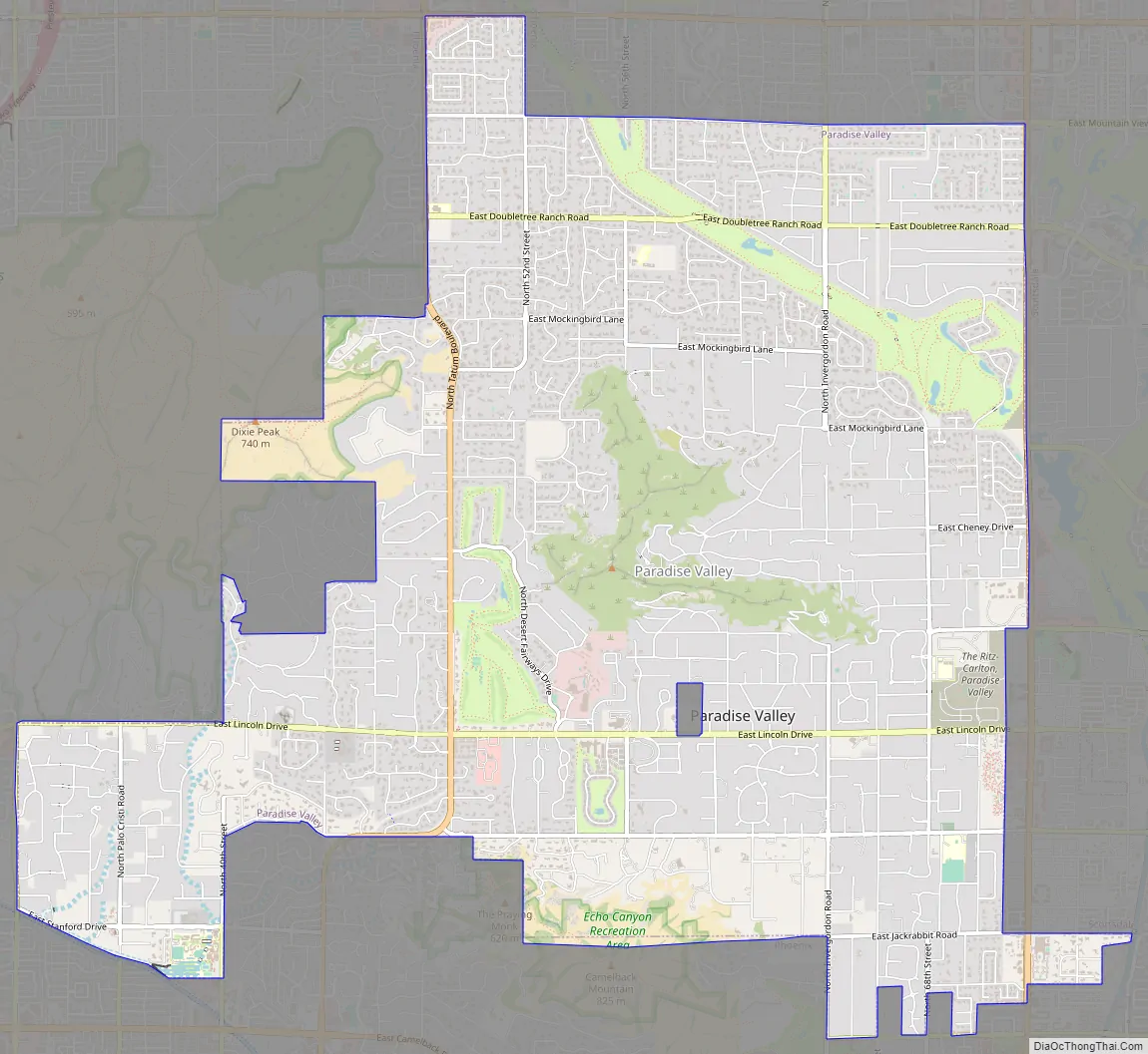
Paradise Valley Road Map
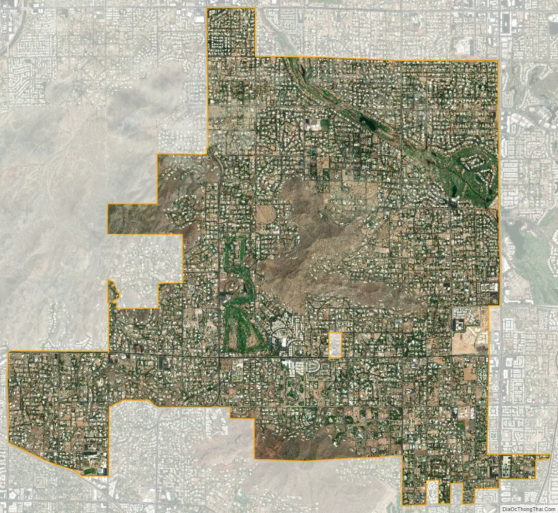
Paradise Valley city Satellite Map
Geography
According to the United States Census Bureau, the town has an area of 15.4 square miles (40 km), of which 0.03 square miles (0.08 km), or 0.18%, is water.
Mummy Mountain dominates Paradise Valley’s central terrain. Other landmarks include Camelback Mountain on the southern border and the Piestewa Peak mountainous area on the western border.
Several historical sites are within the town, including the Harold C. Price, Sr. House, McCune Mansion/Hormel Mansion, and Barry Goldwater Memorial Park.
See also
Map of Arizona State and its subdivision: Map of other states:- Alabama
- Alaska
- Arizona
- Arkansas
- California
- Colorado
- Connecticut
- Delaware
- District of Columbia
- Florida
- Georgia
- Hawaii
- Idaho
- Illinois
- Indiana
- Iowa
- Kansas
- Kentucky
- Louisiana
- Maine
- Maryland
- Massachusetts
- Michigan
- Minnesota
- Mississippi
- Missouri
- Montana
- Nebraska
- Nevada
- New Hampshire
- New Jersey
- New Mexico
- New York
- North Carolina
- North Dakota
- Ohio
- Oklahoma
- Oregon
- Pennsylvania
- Rhode Island
- South Carolina
- South Dakota
- Tennessee
- Texas
- Utah
- Vermont
- Virginia
- Washington
- West Virginia
- Wisconsin
- Wyoming


