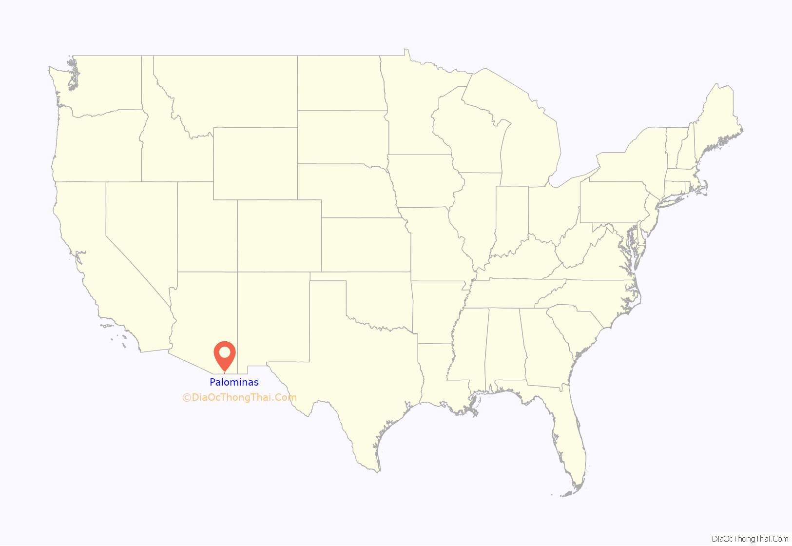
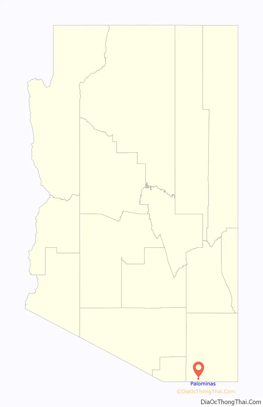
Palominas is a census-designated place located along the San Pedro River in the southern portion of Cochise County in the state of Arizona, United States. Palominas is located very close to the community of Miracle Valley along Arizona State Highway 92. The population of Palominas as of the 2020 U.S. Census was 222.
| Name: | Palominas CDP |
|---|---|
| LSAD Code: | 57 |
| LSAD Description: | CDP (suffix) |
| State: | Arizona |
| County: | Cochise County |
| Total Area: | 1.95 sq mi (5.05 km²) |
| Land Area: | 1.95 sq mi (5.04 km²) |
| Water Area: | 0.00 sq mi (0.01 km²) |
| Total Population: | 222 |
| Population Density: | 114.02/sq mi (44.02/km²) |
| ZIP code: | 85615 |
| Area code: | 520 |
| FIPS code: | 0452230 |
| Website: | www.palominas.com |
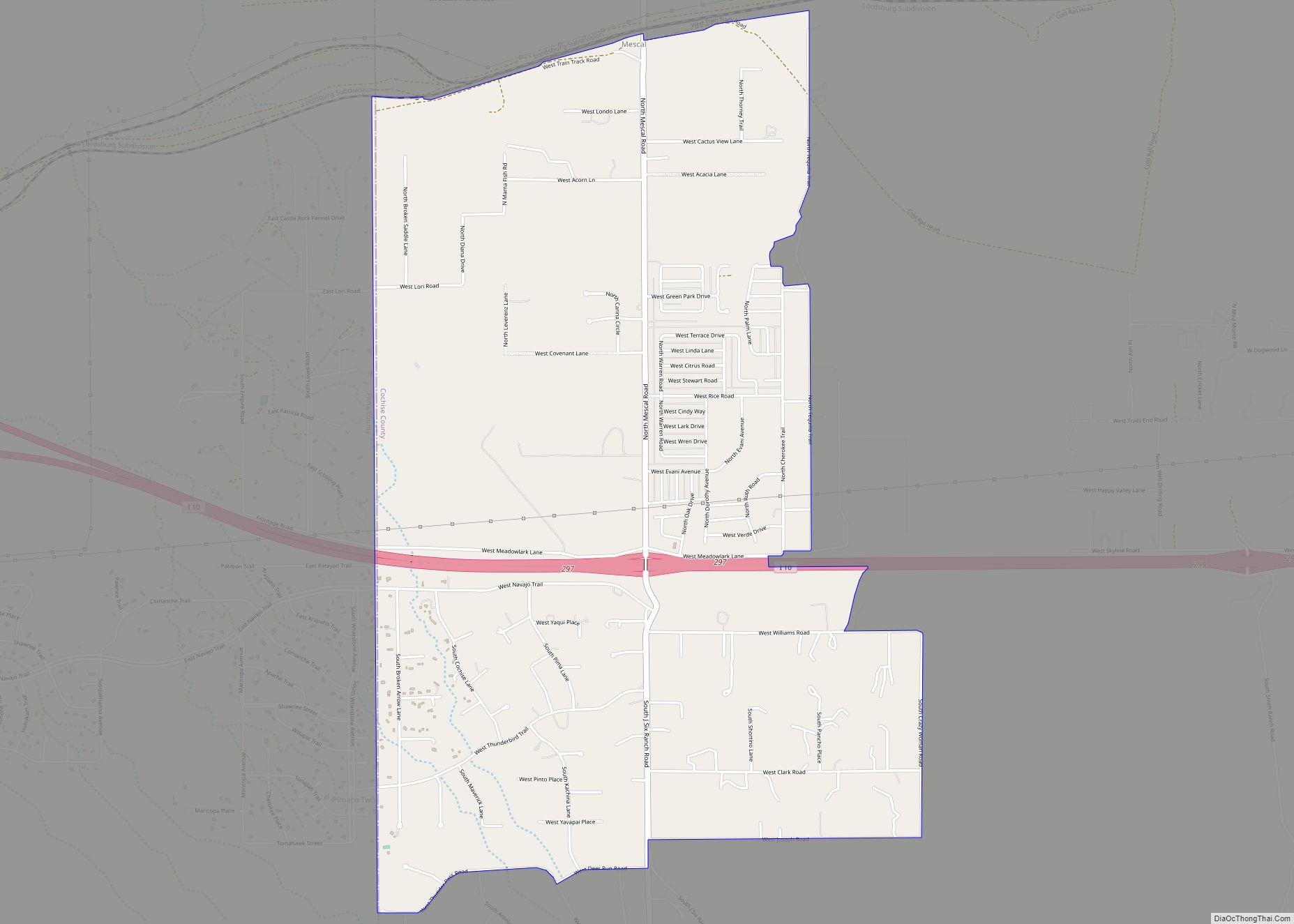
Online Interactive Map
Click on ![]() to view map in "full screen" mode.
to view map in "full screen" mode.
Palominas location map. Where is Palominas CDP?
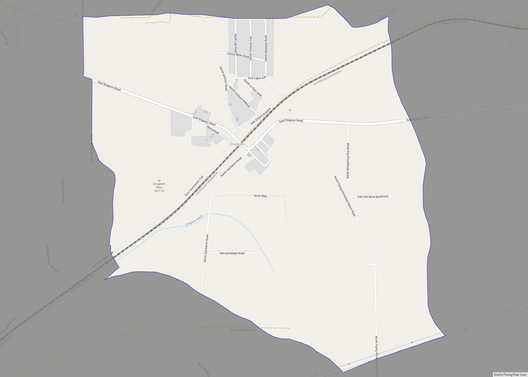
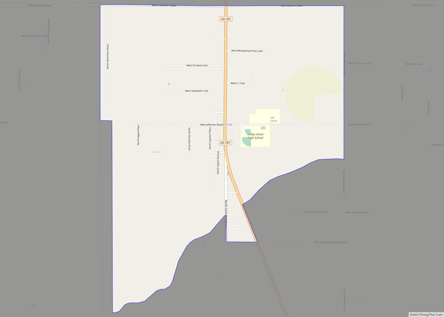
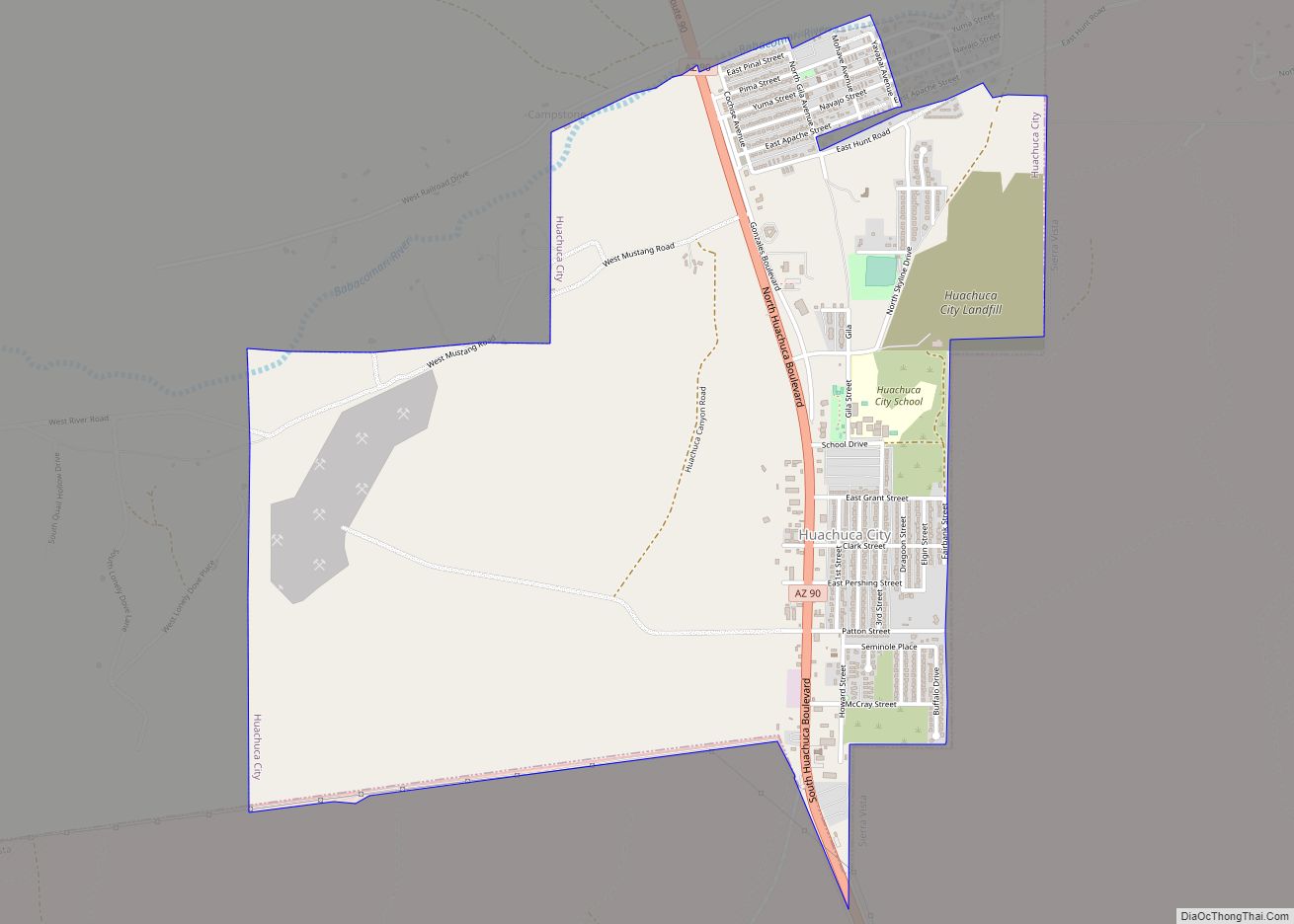
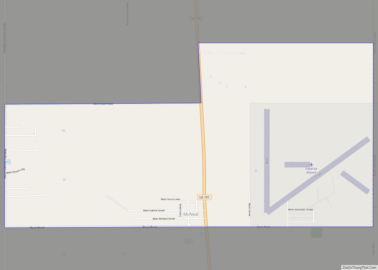
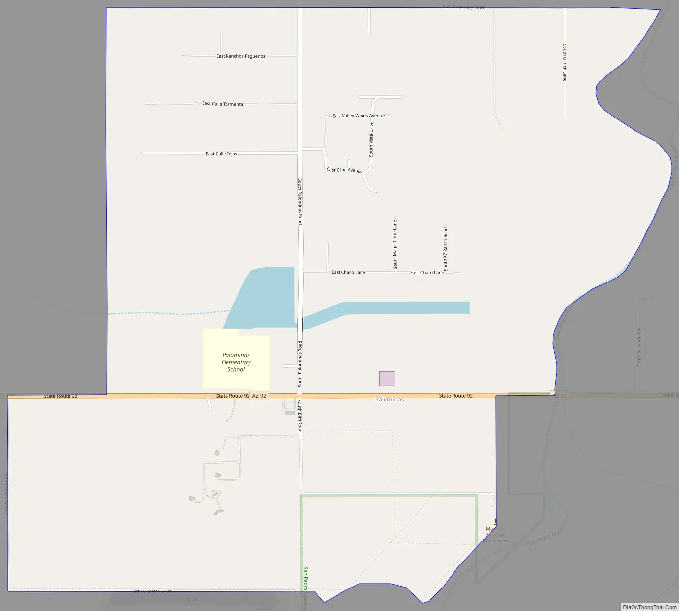
Palominas Road Map
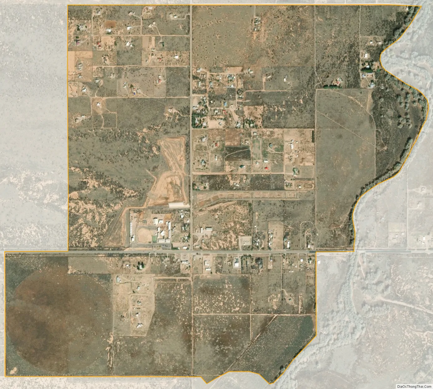
Palominas city Satellite Map
See also
Map of Arizona State and its subdivision: Map of other states:- Alabama
- Alaska
- Arizona
- Arkansas
- California
- Colorado
- Connecticut
- Delaware
- District of Columbia
- Florida
- Georgia
- Hawaii
- Idaho
- Illinois
- Indiana
- Iowa
- Kansas
- Kentucky
- Louisiana
- Maine
- Maryland
- Massachusetts
- Michigan
- Minnesota
- Mississippi
- Missouri
- Montana
- Nebraska
- Nevada
- New Hampshire
- New Jersey
- New Mexico
- New York
- North Carolina
- North Dakota
- Ohio
- Oklahoma
- Oregon
- Pennsylvania
- Rhode Island
- South Carolina
- South Dakota
- Tennessee
- Texas
- Utah
- Vermont
- Virginia
- Washington
- West Virginia
- Wisconsin
- Wyoming