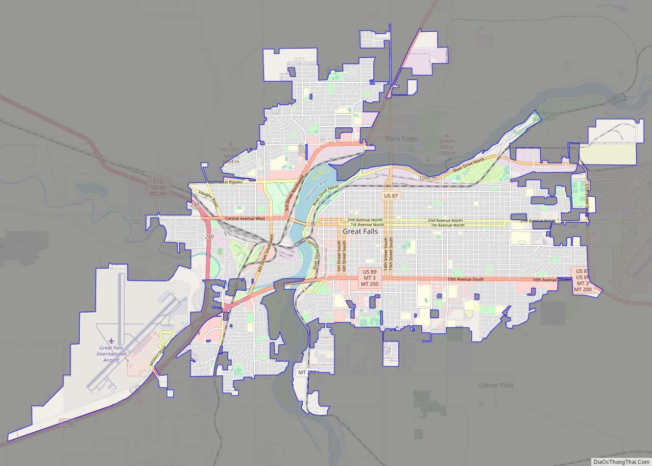
Great Falls is the third most populous city in the U.S. state of Montana and the county seat of Cascade County. The population was 60,442 according to the 2020 census. The city covers an area of 22.9 square miles (59 km) and is the principal city of the Great Falls, Montana, Metropolitan Statistical Area, which encompasses ... Read more
Map of US Cities and Places
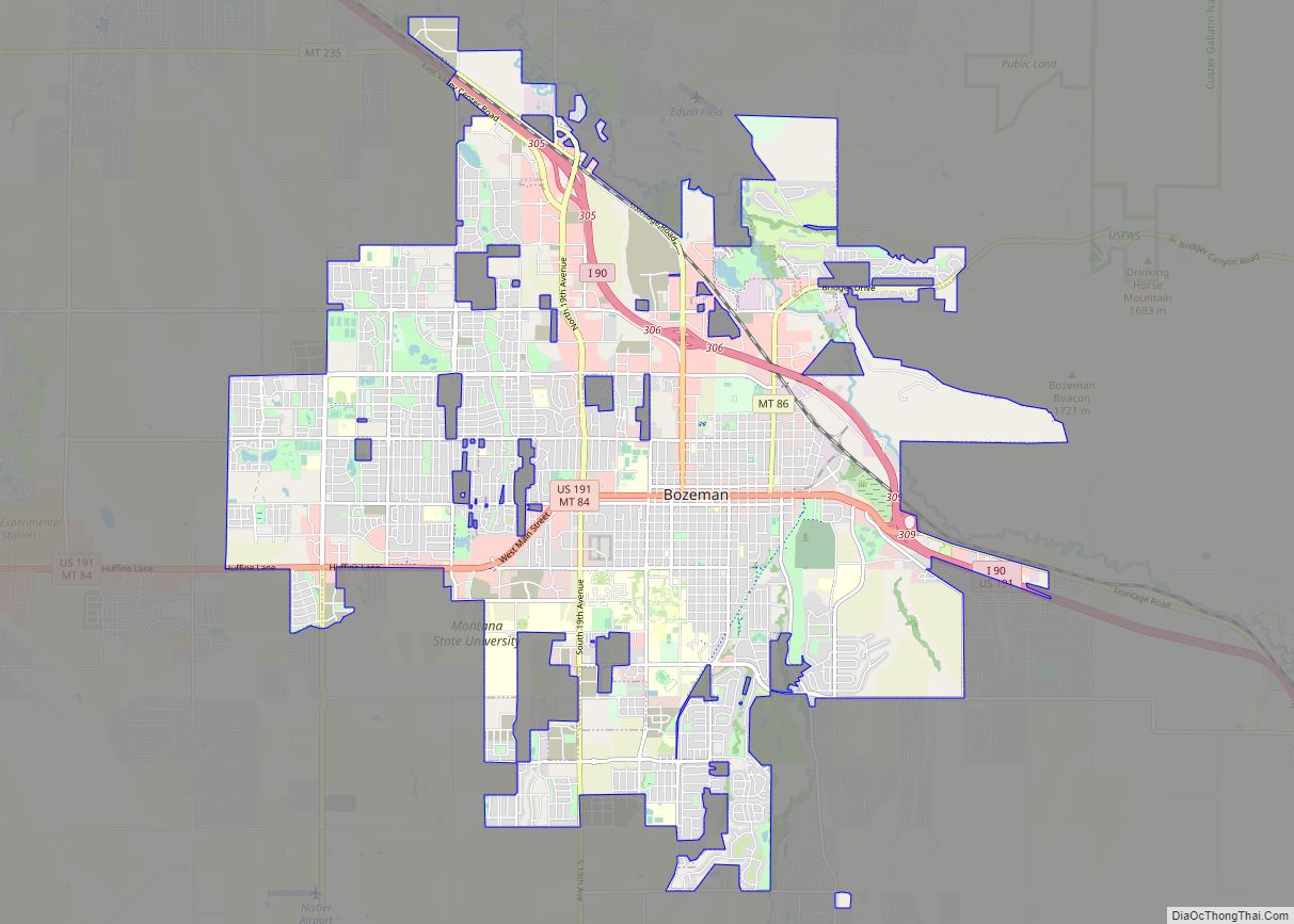
Bozeman (/ˈboʊzmən/ BOHZ-mən) is a city and the county seat of Gallatin County, Montana, United States. Located in southwest Montana, the 2020 census put Bozeman’s population at 53,293 making it the fourth-largest city in Montana. It is the principal city of the Bozeman, MT Micropolitan Statistical Area, consisting of all of Gallatin County with a ... Read more
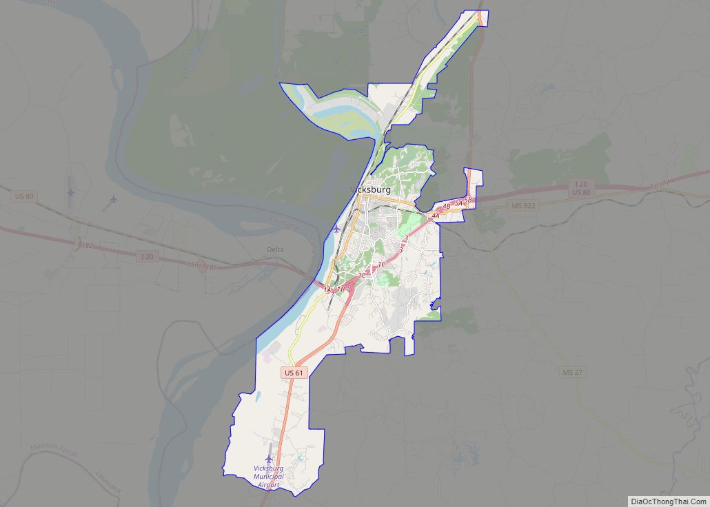
Vicksburg is a historic city in Warren County, Mississippi, United States. It is the county seat, and the population as of 2020 was 21,573. Located on a high bluff on the east bank of the Mississippi River across from Louisiana, Vicksburg was built by French colonists in 1719, and the outpost withstood an attack from ... Read more
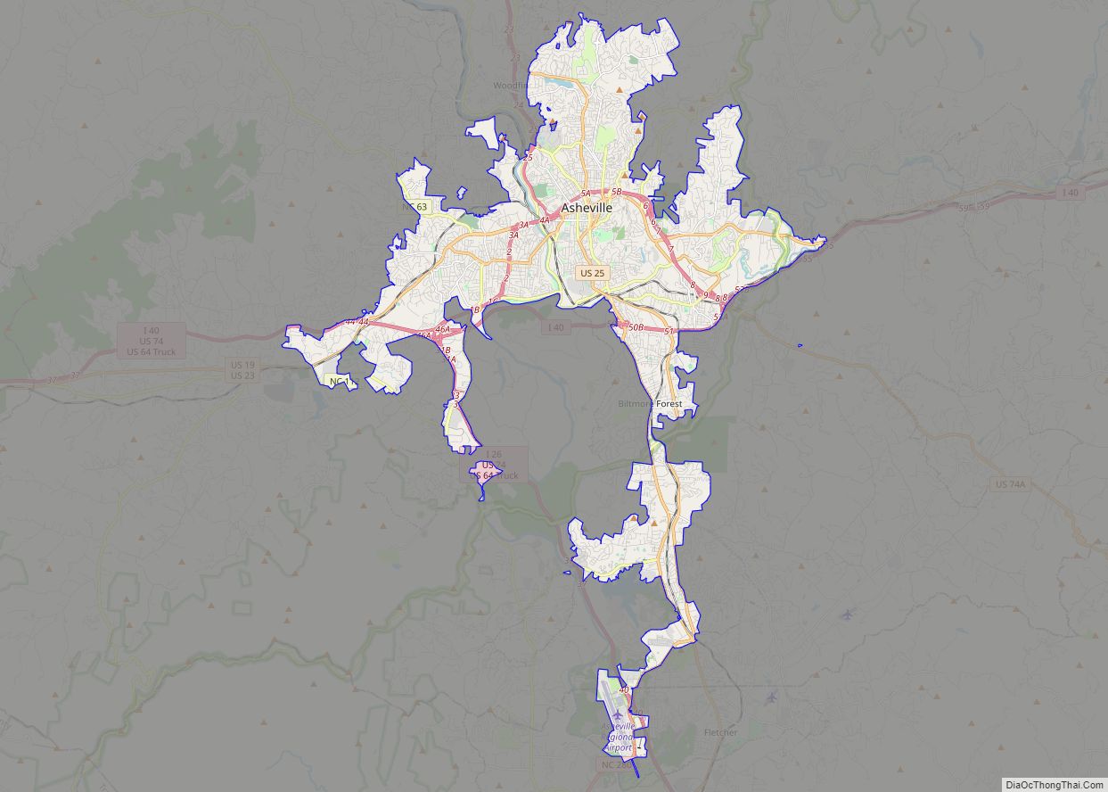
Asheville (/ˈæʃvɪl/ ASH-vil) is a city in, and the county seat of, Buncombe County, North Carolina. Located at the confluence of the French Broad and Swannanoa rivers, it is the largest city in Western North Carolina, and the state’s 11th-most populous city. According to the 2020 census, the city’s population was 94,589, up from 83,393 ... Read more
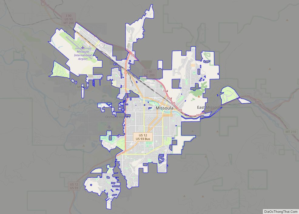
Missoula (/mɪˈzuːlə/ (listen) miz-OO-lə; Séliš: Nłʔay, lit. ‘Place of the Small Bull Trout’; Kutenai: Tuhuⱡnana) is a city in the U.S. state of Montana; it is the county seat of Missoula County. It is located along the Clark Fork River near its confluence with the Bitterroot and Blackfoot Rivers in western Montana and at the convergence ... Read more
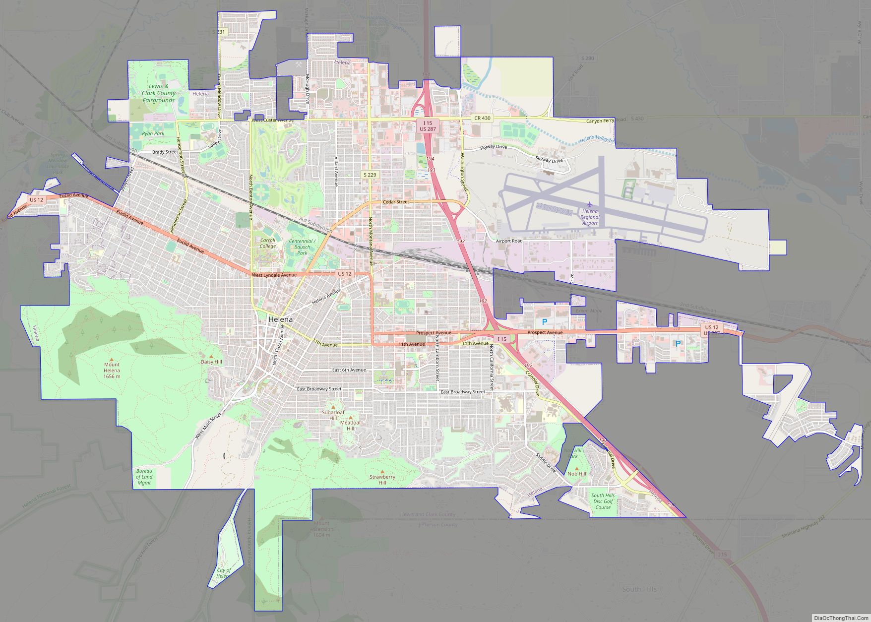
Helena (listen; /ˈhɛlənə/) is the capital city of the U.S. state of Montana and the seat of Lewis and Clark County. Helena was founded as a gold camp during the Montana gold rush, and established on October 30, 1864. Due to the gold rush, Helena became a wealthy city, with approximately 50 millionaires inhabiting the ... Read more
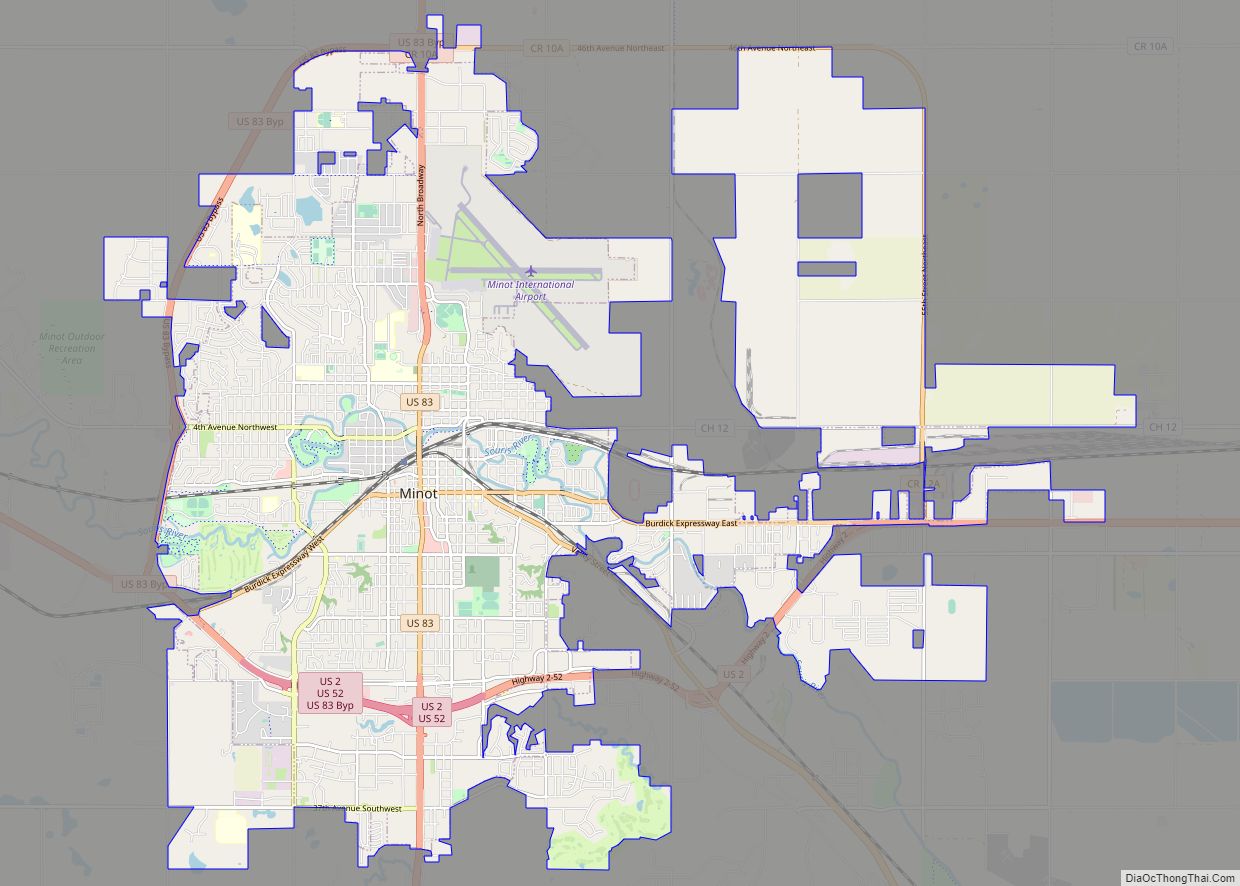
Minot (/ˈmaɪnɒt/ (listen) MY-not) is a city in and the county seat of Ward County, North Dakota, United States, in the state’s north-central region. It is most widely known for the Air Force base approximately 15 miles (24 km) north of the city. With a population of 48,377 at the 2020 census, Minot is the state’s ... Read more
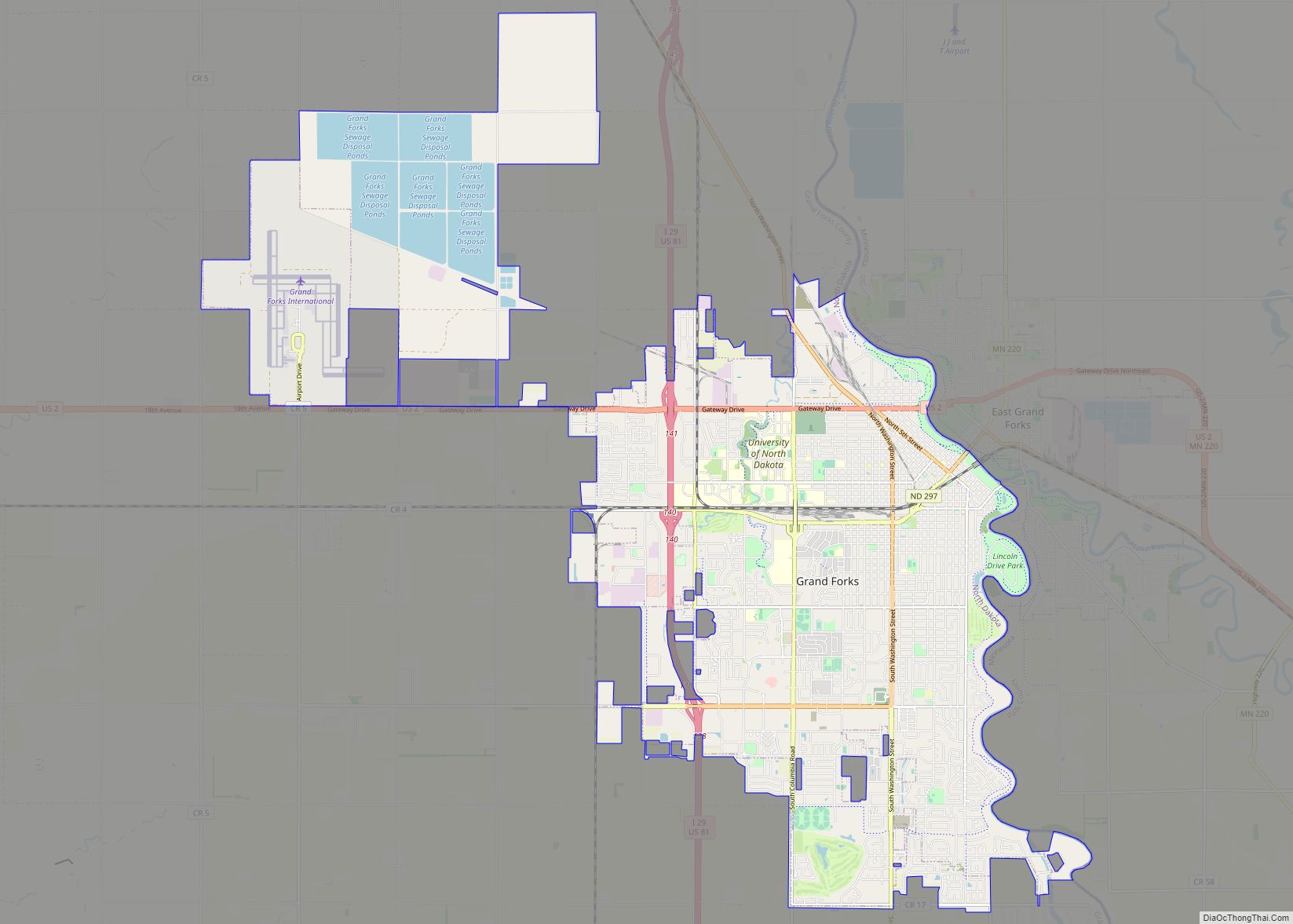
Grand Forks is the third largest city in the state of North Dakota (after Fargo and Bismarck) and the county seat of Grand Forks County. According to the 2020 census, the city’s population was 59,166. Grand Forks, along with its twin city of East Grand Forks, Minnesota, forms the center of the Grand Forks, ND-MN ... Read more
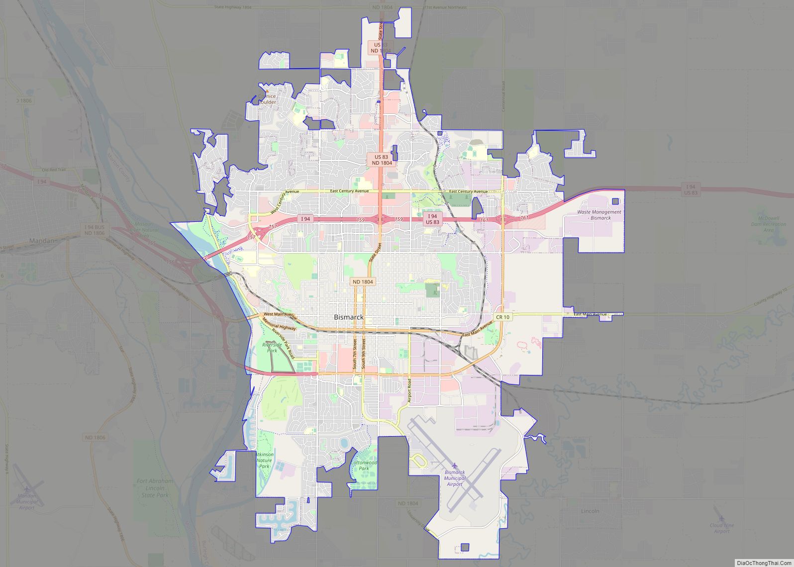
Bismarck (/ˈbɪzmɑːrk/) is the capital of the U.S. state of North Dakota and the county seat of Burleigh County. It is the state’s second-most populous city, after Fargo. The city’s population was 73,622 in the 2020 census, while its metropolitan population was 133,626. In 2020, Forbes magazine ranked Bismarck as the seventh fastest-growing small city ... Read more
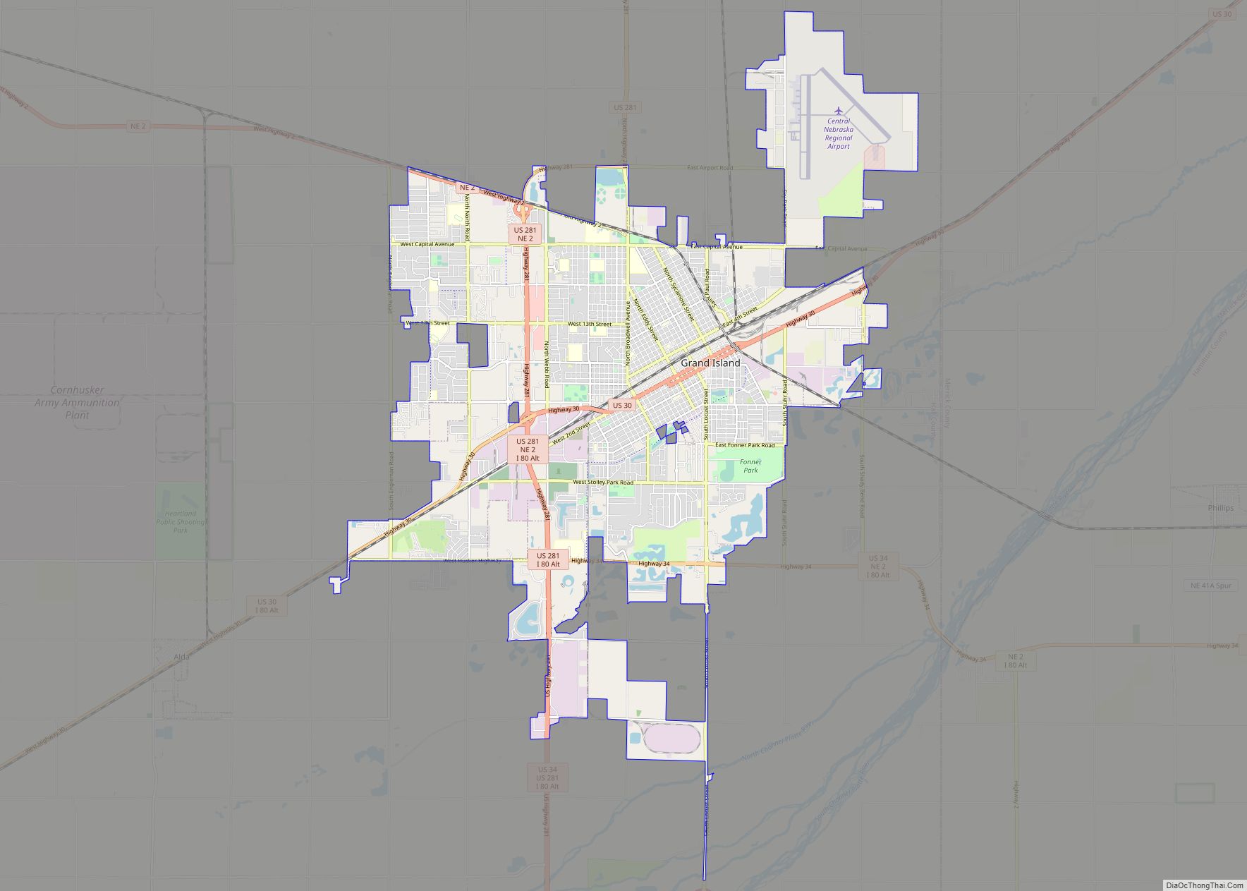
Grand Island is a city in and the county seat of Hall County, Nebraska, United States. The population was 53,131 at the 2020 census. Grand Island is the principal city of the Grand Island metropolitan area, which consists of Hall, Merrick, Howard and Hamilton counties. The Grand Island metropolitan area has an official population of ... Read more
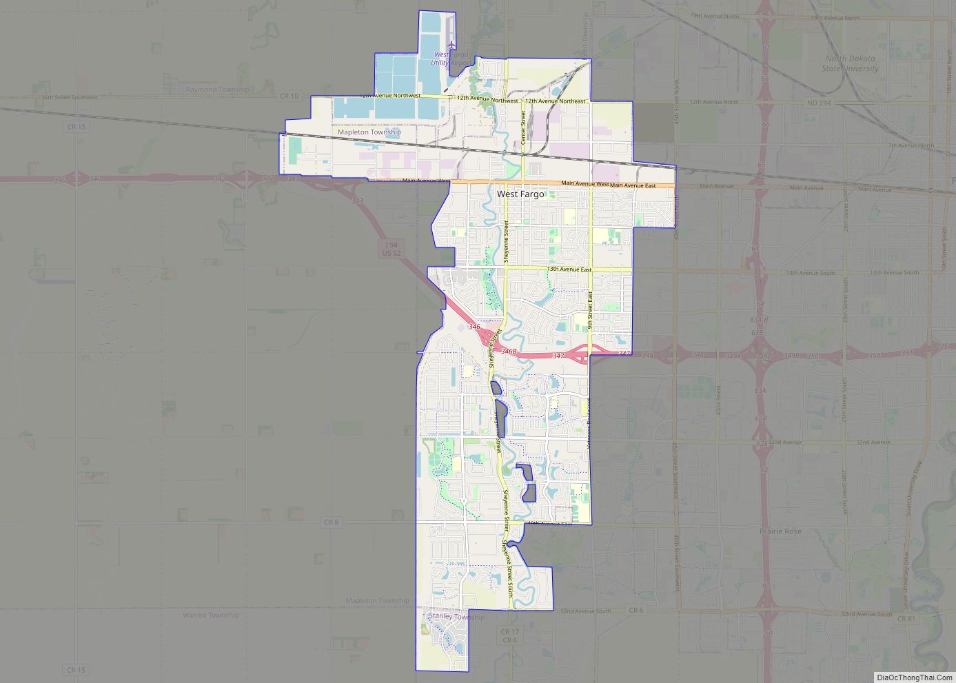
West Fargo is a city in Cass County, North Dakota, United States. It is, as of the 2020 census, the fifth largest city in the state of North Dakota with a population of 38,626, and it is one of the state’s fastest growing cities. West Fargo was founded in 1926. The city is part of ... Read more
Bellevue (French for “beautiful view”; previously named Belleview) is a suburban city in Sarpy County, Nebraska, United States. It is part of the Omaha–Council Bluffs metropolitan area, and had a population of 64,176 as of the 2020 Census, making it the third-largest city in Nebraska, behind Omaha and Lincoln, and the second largest city in ... Read more
