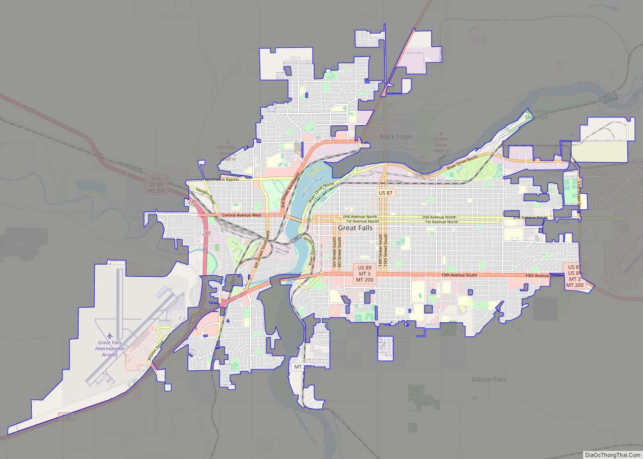
Great Falls is the third most populous city in the U.S. state of Montana and the county seat of Cascade County. The population was 60,442 according to the 2020 census. The city covers an area of 22.9 square miles (59 km) and is the principal city of the Great Falls, Montana, Metropolitan Statistical Area, which encompasses all of Cascade County. The Great Falls MSA’s population stood at 84,414 in the 2020 census.
A cultural, commercial and financial center in the central part of the state, Great Falls is located just east of the Rocky Mountains and is bisected by the Missouri River. It is 180 miles (290 km) from the east entrance to Glacier National Park in northern Montana, and 264 miles (425 km) from Yellowstone National Park in southern Montana and northern Wyoming. A north–south federal highway, Interstate 15, serves the city.
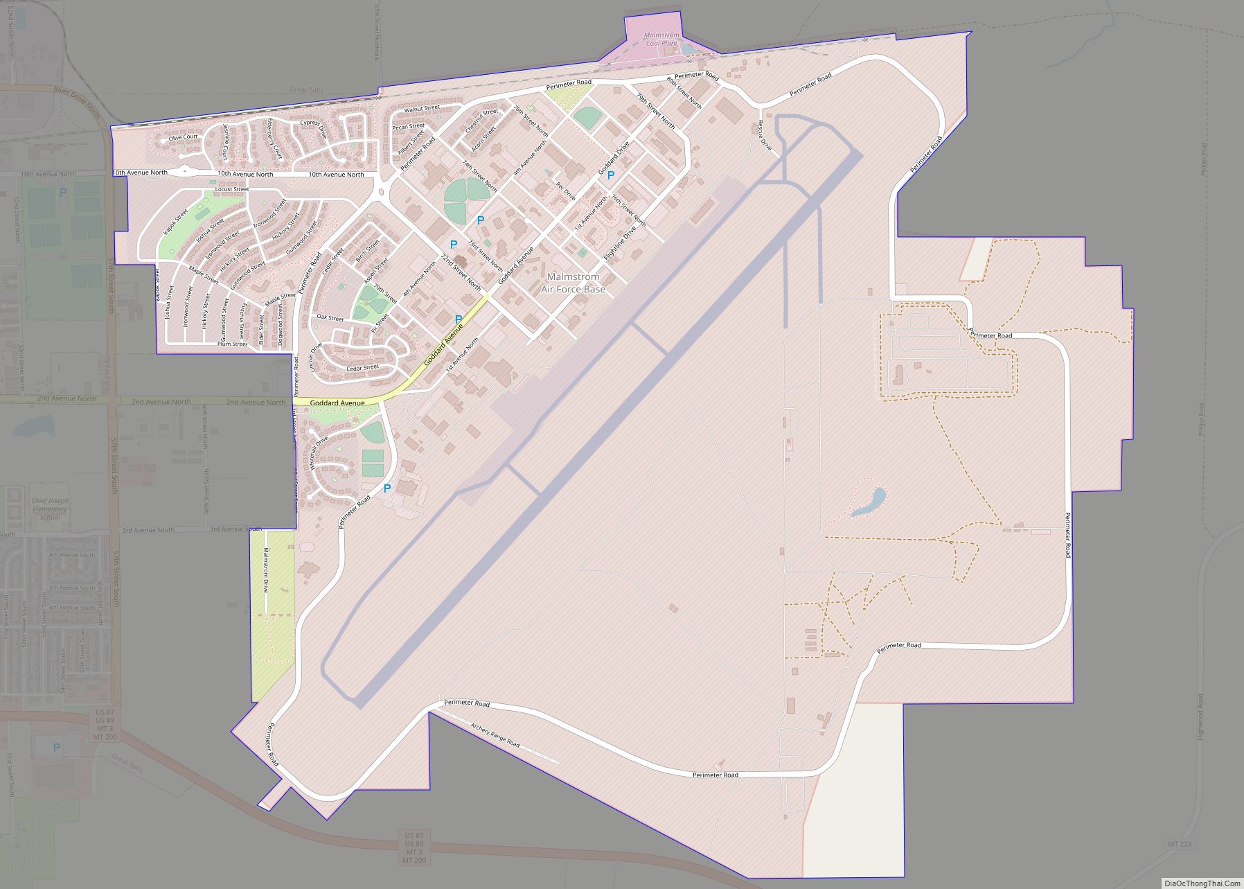
Great Falls is named for a series of five waterfalls located on the Missouri River north and east of the city. The Lewis and Clark Expedition of 1805–1806 was forced to portage around a 10-mile (16 km) stretch of the river in order to bypass the falls; the company spent 31 days in the area, performing arduous labor to make the portage. Three of the waterfalls, known as Black Eagle, Rainbow and the Great Falls (or the Big Falls), are among the sites of five hydroelectric dams in the area, giving the city its moniker, “The Electric City”. Other nicknames for Great Falls include “The River City” and “Western Art Capital of the World”. The city is also home to two military installations: Malmstrom Air Force Base east of the city, which is the community’s largest employer; and the Montana Air National Guard to the west, adjacent to Great Falls International Airport. The federally recognized Little Shell Tribe of Chippewa Indians of Montana are located in Great Falls.
Great Falls is a popular tourist destination in Montana, with one million overnight visitors annually, who spend an estimated $185 million while visiting, according to the Great Falls Montana Tourism group. Among Montana cities, Great Falls boasts the greatest number of museums, with 10, including the Lewis and Clark Interpretive Center near Giant Springs and the C. M. Russell Museum and Original Log Cabin Studio on the city’s north side. Great Falls was the largest city in Montana from 1950 to 1970, when it was eclipsed by Billings in the 1970 census; Missoula assumed second place in 2000.
| Name: | Great Falls city |
|---|---|
| LSAD Code: | 25 |
| LSAD Description: | city (suffix) |
| State: | Montana |
| County: | Cascade County |
| Incorporated: | 1888 |
| Elevation: | 3,330 ft (1,010 m) |
| Land Area: | 23.11 sq mi (59.86 km²) |
| Water Area: | 0.48 sq mi (1.24 km²) |
| Population Density: | 2,615.07/sq mi (1,009.69/km²) |
| Area code: | 406 |
| FIPS code: | 3032800 |
| Website: | greatfallsmt.net |
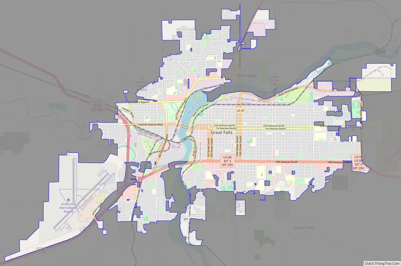
Online Interactive Map
Click on ![]() to view map in "full screen" mode.
to view map in "full screen" mode.
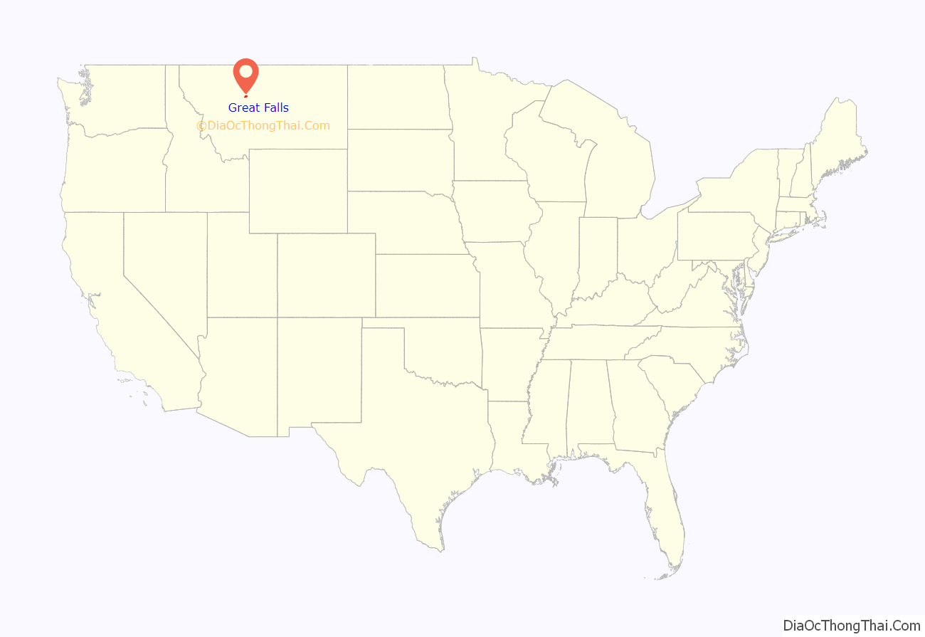
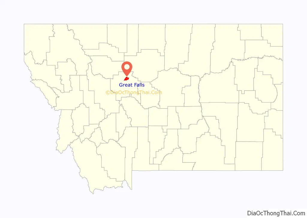
Great Falls location map. Where is Great Falls city?
History
For much of prehistory, no permanent settlements existed at or near Great Falls, though Salish Indians seasonally hunted bison in the region. Around 1600, Piegan Blackfeet Indians, migrating west, entered the area, pushing the Salish back into the Rocky Mountains and claiming the area now occupied by Great Falls. The area remained territory of the Blackfeet until long after the United States claimed the region in 1803 as part of the Louisiana Purchase.
Meriwether Lewis and William Clark led the Lewis and Clark Expedition into the newly purchased territory from 1804–1806. The expedition came upon the “Great Falls of the Missouri River” on June 13, 1805.
Politically, the future site of Great Falls passed through numerous hands in the 19th century. It was part of the unincorporated frontier until May 30, 1854, when Congress established the Nebraska Territory. On March 2, 1861, the site became part of the Dakota Territory. The Great Falls area was incorporated into the Idaho Territory on March 4, 1863, and then into the Montana Territory on May 28, 1864. It became part of the state of Montana upon that territory’s admission to statehood on November 8, 1889.
Founding and early years
The founding of Great Falls was the brainchild of Paris Gibson, a Maine-born entrepreneur who became acquainted with railroad magnate James J. Hill in Minneapolis, Minnesota. By the 1880s, Gibson was a sheep man in Fort Benton, Montana. He visited the Great Falls of the Missouri River in 1880 and was deeply impressed by the possibilities for building a major industrial city near the falls with power provided by hydroelectricity. He returned in 1883 with friend Robert Vaughn and some surveyors and platted a permanent settlement on the south side of the river. The city’s first citizen, Silas Beachley, arrived later that year. With investments from Hill and from Helena businessman Charles Arthur Broadwater, houses, a store, and a flour mill were established in 1884. The Great Falls post office was established on July 10, 1884, and Gibson was named the first postmaster. A planing mill, lumber yard, bank, school, and newspaper were established in 1885. By 1887 the town had 1,200 citizens, and the arrival of Hill’s Great Northern Railway in October of that year helped cement the city’s future. Great Falls was incorporated on November 28, 1888.
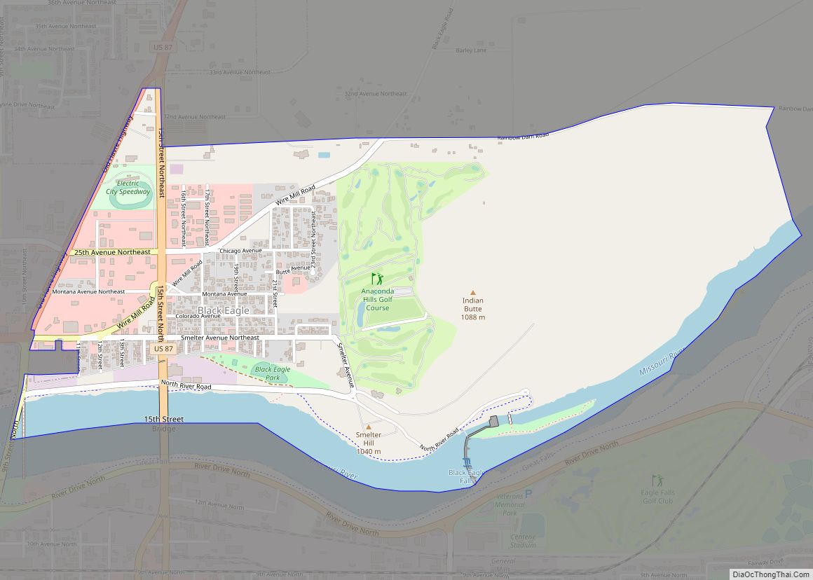
Great Falls quickly became a thriving industrial and supply center. A ground-breaking for a smelter in nearby Black Eagle took place in 1890, the same year that construction of a hydroelectric dam atop Black Eagle Falls was completed. The dam provided the fledgling city with electricity and marked the first major instance of hydroelectric power in Montana. In 1894, naturalist Vernon Bailey passed through and described Great Falls as “a very good town, appears prosperous and booming & I should judge contains 15000 inhabitants”. By the early 1900s, Great Falls was en route to becoming one of Montana’s largest cities. The rustic studio of famed Western artist Charles Marion Russell was a popular attraction, as were the famed Great Falls of the Missouri.
Among structures built in the early years were the sandstone Central High School (completed in 1896), now the Paris Gibson Square Museum of Art; the ornate copper-domed Cascade County Courthouse (1903); and railroad passenger depots of the Great Northern Railway (1909) and the Milwaukee Road (1915), both overlooking the Missouri River.
Railroad and hydroelectric expansion
James Jerome Hill, president and primary stockholder of the Great Northern Railway, established a subsidiary, the Montana Central Railway, on January 25, 1886. The mines in Butte were eager to get their metals to market. Gold and silver had been discovered near Helena, and coal companies in Canada sought to transport their fuel to Montana’s smelters. Hill’s close friend and business associate, Paris Gibson, promoted Great Falls as a site for the development of cheap hydroelectricity and heavy industry. As Hill was building the Great Northern across the northern tier of Montana, it made sense to also build a north–south railroad through central Montana to connect Great Falls with Helena and Butte. Surveyors and engineers had begun grading a route between Helena and Great Falls in the winter of 1885–1886, and by the end of 1886 had surveyed a route from Helena to Butte.
Construction on the Great Northern’s line westward began in late 1886, and on October 16, 1887, the link between Devils Lake, North Dakota, Fort Assinniboine (near the present-day city of Havre, Montana), and Great Falls was complete. Service to Helena began in November 1887, and Butte followed on November 10, 1888.
Hill organized the Great Falls Water Power & Townsite Company in 1887, with the goal of developing the town of Great Falls; providing it with power, sewage, and water; and attracting commerce and industry to the city. To attract industry to the new city, he offered low rates on the Montana Central Railway. On September 12, 1889, the Boston and Montana (“B & M”) signed an agreement with Great Falls Water Power & Townsite Company in which the power company agreed to build a dam that would supply the mining firm with at least 1,000 horsepower (or 0.75 MW) of power by September 1, 1890, and 5,000 horsepower (or 3.73 MW) of power by January 1, 1891. In exchange, B & M agreed to build a $300,000 copper smelter near the dam. Black Eagle Dam began generating electricity in December 1890. Water was permitted to flow over the crest of the dam on January 6, 1891, and the dam was considered complete on March 15, 1891. By 1912, Rainbow Dam and Volta Dam (now Ryan Dam) were all operating. Morony Dam was built in 1930 and Cochrane Dam in 1957–1958.
On April 7, 1908, construction began on a masonry/brick chimney measuring 506 feet (154 m) tall on the B & M’s (now the city’s largest employer) smelting site at Black Eagle by the Alphonse Custodis Construction Co. of New York, for dispersal of fumes from B & M’s copper smelting process. B & M would soon merge with the Amalgamated Copper Company and become the Anaconda Copper Mining Company or “ACM”. The B & M smelter stack was completed on October 23, 1908. The chimney had an interior measurement of 78.5 feet (23.9 m) in diameter at the base and 50 feet (15 m) in diameter at the top. At the time of its completion it was the tallest chimney in the world (see List of tallest chimneys). With the moniker “The Big Stack”, it immediately became a landmark for the community, but after over 70 years of operation the smelter closed in 1980.
The Big Stack’s “sister” stack in Anaconda, also of masonry/brick construction, completed in 1919, and slightly taller at 585 feet (178 m), began to suffer from cracking and the ACM decided to remove the support bands from the upper half of the Big Stack in 1976 and send them to Anaconda. This action proved to be the Big Stack’s ultimate demise, since the cracks it was also suffering from rapidly worsened such that the ACM, citing concern for public safety (due to the continual deterioration of the stack’s structural integrity), slated the Big Stack’s demolition for September 18, 1982.
In an interesting twist of fate, the demolition crew failed to accomplish the task on the first try; the two worst cracks in the stack ran from just above ground level to nearly 300 feet up. The demolition team’s intent was to create a wedge in the base so the stack’s rubble would fall almost vertically into a large trench, but as the 600 lbs of explosives were set off the cracks “completed themselves” all the way to the ground—effectively severing the stack into two-thirds and one-third pieces. Much to the delight of the spectating community, the smaller of the two pieces remained standing, but the failed demolition only solidified the safety issue whereas the community cited the event as the stack’s defiance. The demolition team who had planted the charges was recalled and later the same afternoon they returned and finished the demolition, after packing another 400 lbs of explosives into the smaller wedge.
1930–present
During the first two decades of the 20th century, Great Falls prospered from a homesteading boom, strong agricultural markets and favorable weather. It also became a financial center and regional shopping hub. In the late 1930s, the federal government’s New Deal programs provided Great Falls with a new Civic Center building, and the city’s business sector expanded with the arrival of military installations during World War II, helping Great Falls become the state’s largest city from 1950 to 1970. During World War II, the Northwest Staging Route passed through Great Falls, along which planes were delivered to the USSR according to the Lend-Lease program. Great Falls prospered further with the opening of a nearby military base in the 1940s, but as rail transportation and freight slowed in the later part of the century, outlying farming areas lost population, and with the closure of the smelter and cutbacks at Malmstrom Air Force Base in the 1980s, its population growth slowed.
Great Falls was the location of the Mariana UFO incident in 1950, one of the earliest widely-publicized UFO incidents.
In recent years, the economy of Great Falls has suffered from the decline of heartland industry, much like other cities in the Great Plains and Midwest.
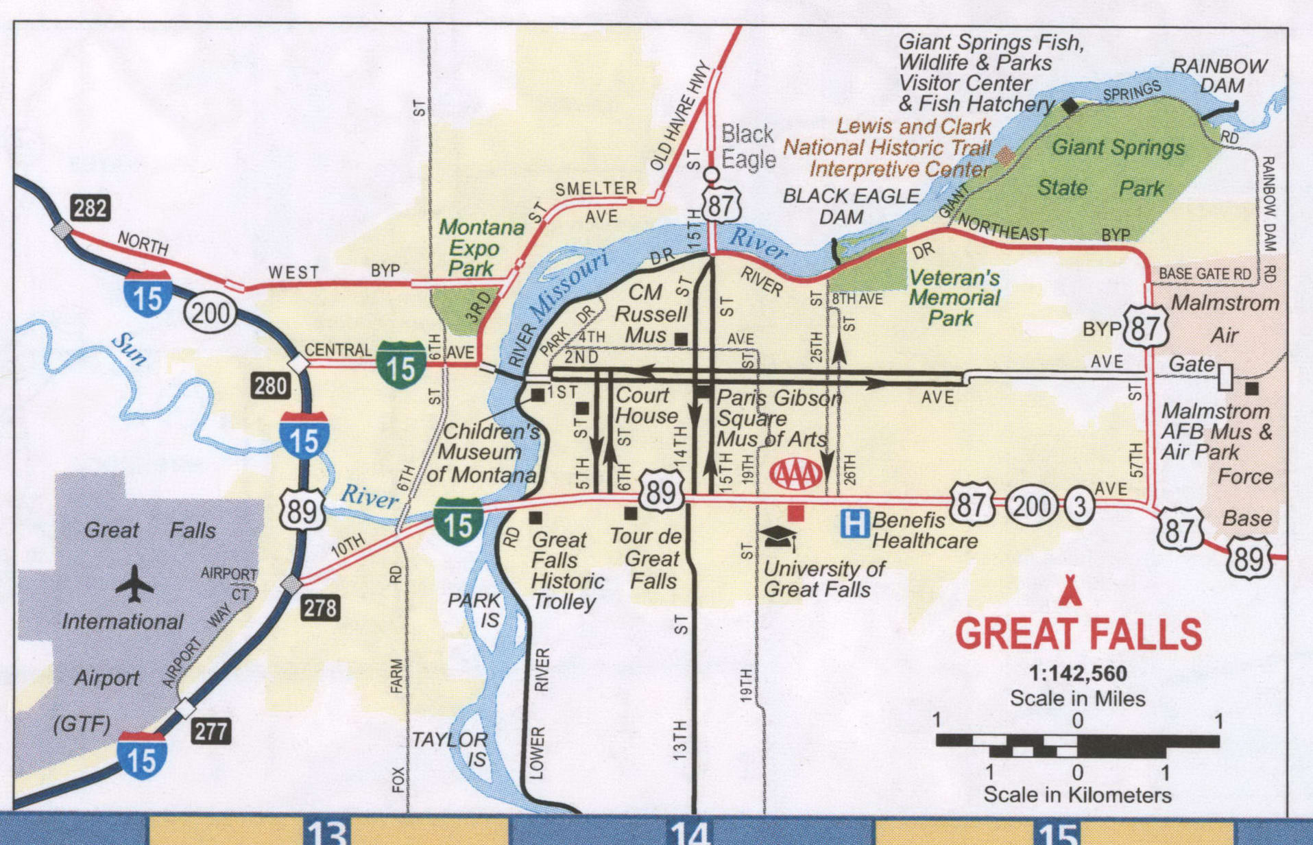
Great Falls Road Map
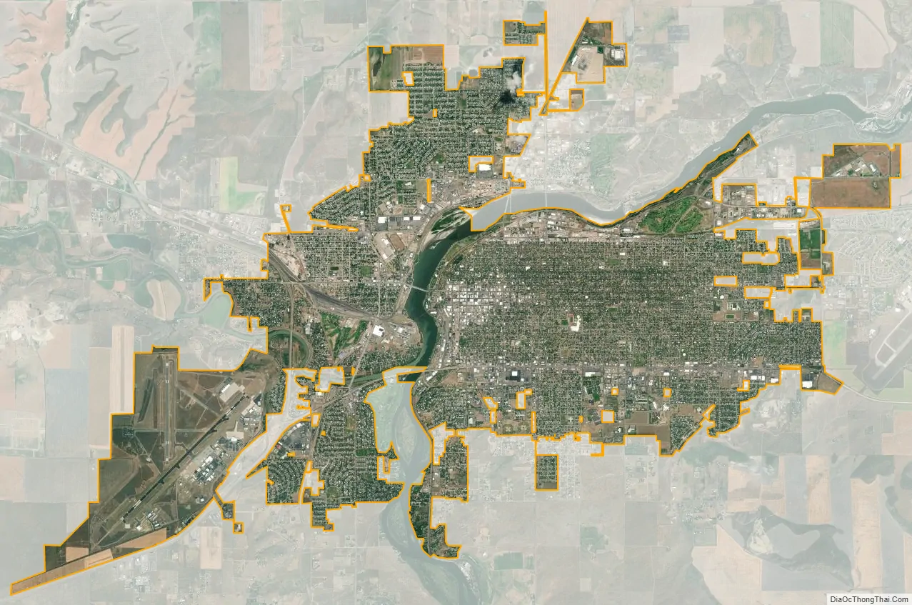
Great Falls city Satellite Map
Geography
Great Falls is located near several waterfalls on the Missouri River. It lies near the center of Montana on the northern Great Plains. It lies next to the Rocky Mountain Front and is approximately 100 miles (160 km) south of the Canada–US border. According to the United States Census Bureau, the city has a total area of 22.26 square miles (57.65 km), of which 21.79 square miles (56.44 km) is land and 0.47 square miles (1.22 km) is water.
Geology
The city of Great Falls lies atop the Great Falls Tectonic Zone, an intracontinental shear zone between two geologic provinces of basement rock of the Archean period which form part of the North American continent. The city lies at the southern reach of the Laurentide Ice Sheet, a vast glacial sheet of ice which covered much of North America during the last glacial period. Approximately 1.5 million years ago, the Missouri River flowed northward into a terminal lake. The Laurentide Ice Sheet pushed the river southward. Between 15,000 BCE and 11,000 BCE, the Laurentide Ice Sheet blocked the Missouri River and created Glacial Lake Great Falls. About 13,000 BCE, as the glacier retreated, Glacial Lake Great Falls emptied catastrophically in a glacial lake outburst flood. The current course of the Missouri River essentially marks the southern boundary of the Laurentide Ice Sheet. The Missouri River flowed eastward around the glacial mass, settling into its present course. As the ice retreated, meltwater from Glacial Lake Great Falls poured through the Highwood Mountains and eroded the mile-long, 500-foot-deep (150 m) Shonkin Sag, one of the most famous prehistoric meltwater channels in the world.
Climate
Great Falls has a cold semi-arid climate (Köppen: BSk), with a notable amount of summer precipitation occurring in the form of thunderstorms. Winters are very cold, long and often snowy, though periods of chinook winds do cause warm spells and raise the maximum temperature above 50 °F or 10 °C on an average of fifteen afternoons during the three-month winter period. In the absence of such winds, shallow cold snaps are common; there is an average of 20.8 nights with a low of 0 °F (−17.8 °C) or colder and 44 days failing to top freezing. The wettest part of the year is the spring. Summers are hot and dry, with highs reaching 90 °F (32.2 °C) on nineteen days per year, though the diurnal temperature variation is large and easily exceeds 30 °F (16.7 °C). Freak early and late summer snowfalls such as a two-day total of 8.3 in (0.21 m) in August 1992 can occur, although the median snowfall from June to September is zero and on average the window for accumulating (0.1 in or 0.25 cm) snowfall is October 2–May 13. The average first and last freeze dates are September 21 and May 21, respectively, allowing a growing season of 122 days, although, excepting for July, a freeze has occurred in every month of the year. Extreme temperatures range from −49 °F (−45.0 °C) on February 15, 1936 to 107 °F (41.7 °C) on July 25, 1933.
Suburbs
Census-designated places contiguous to the City of Great Falls include:
- Black Eagle
- Malmstrom AFB
Nearby communities
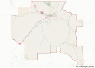
The entirety of Cascade County forms the Great Falls Metropolitan statistical area. Great Falls is an economic hub for a substantially larger region that includes most of north-central Montana. Small towns and census-designated places in Cascade County near Great Falls include:
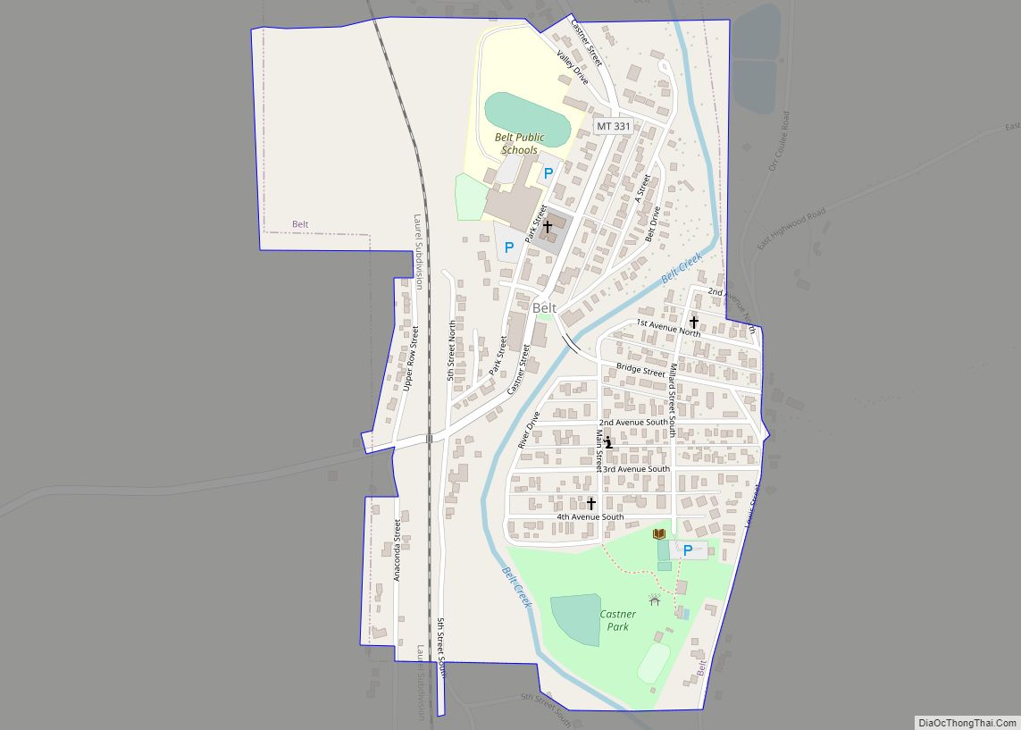
- Belt
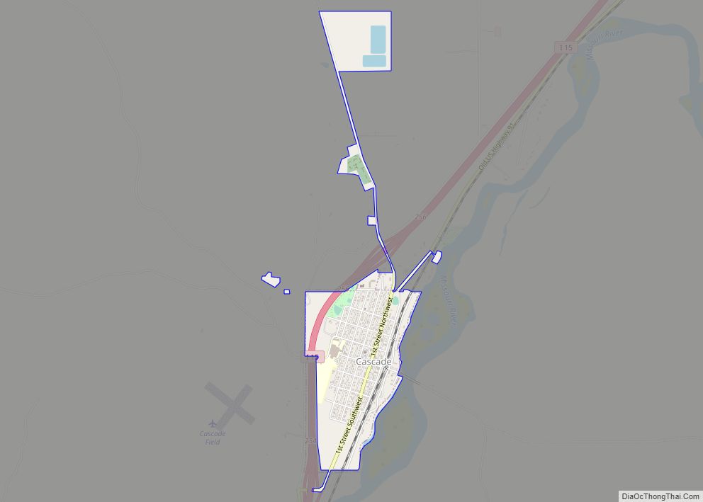
- Cascade
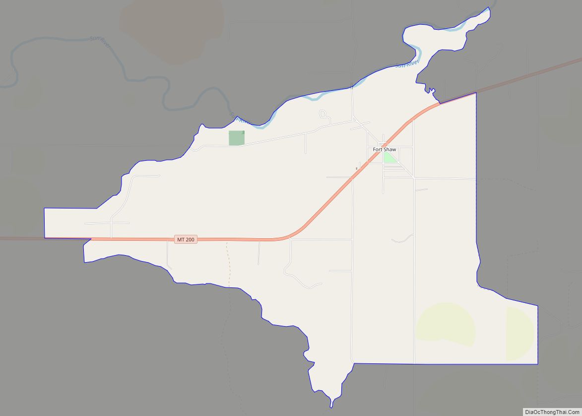
- Fort Shaw
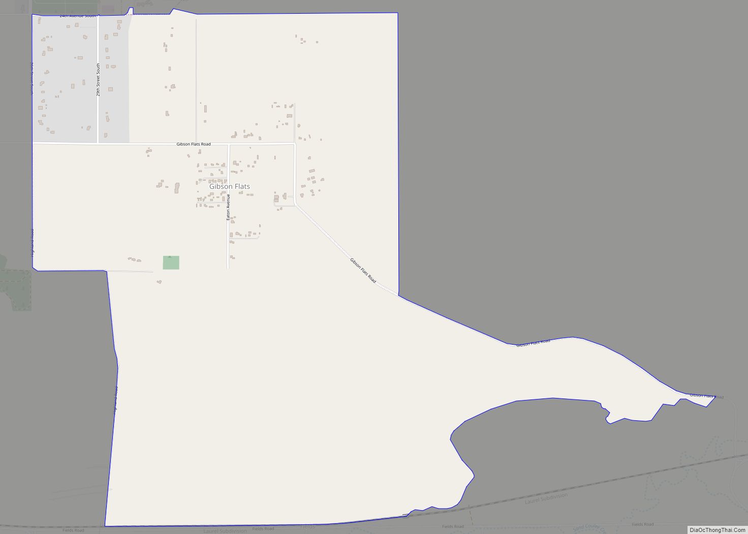
- Gibson Flats
- Monarch
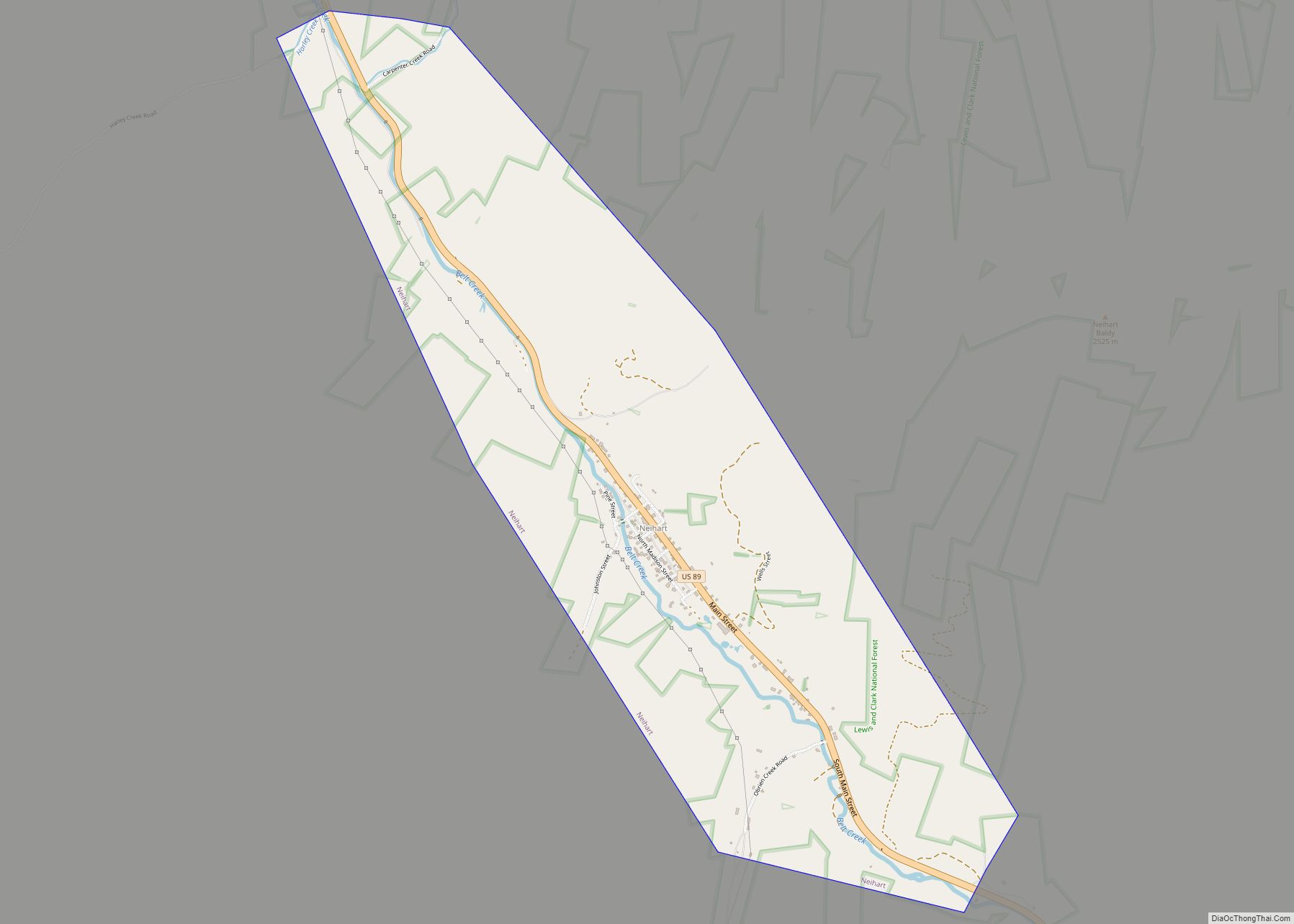
- Neihart
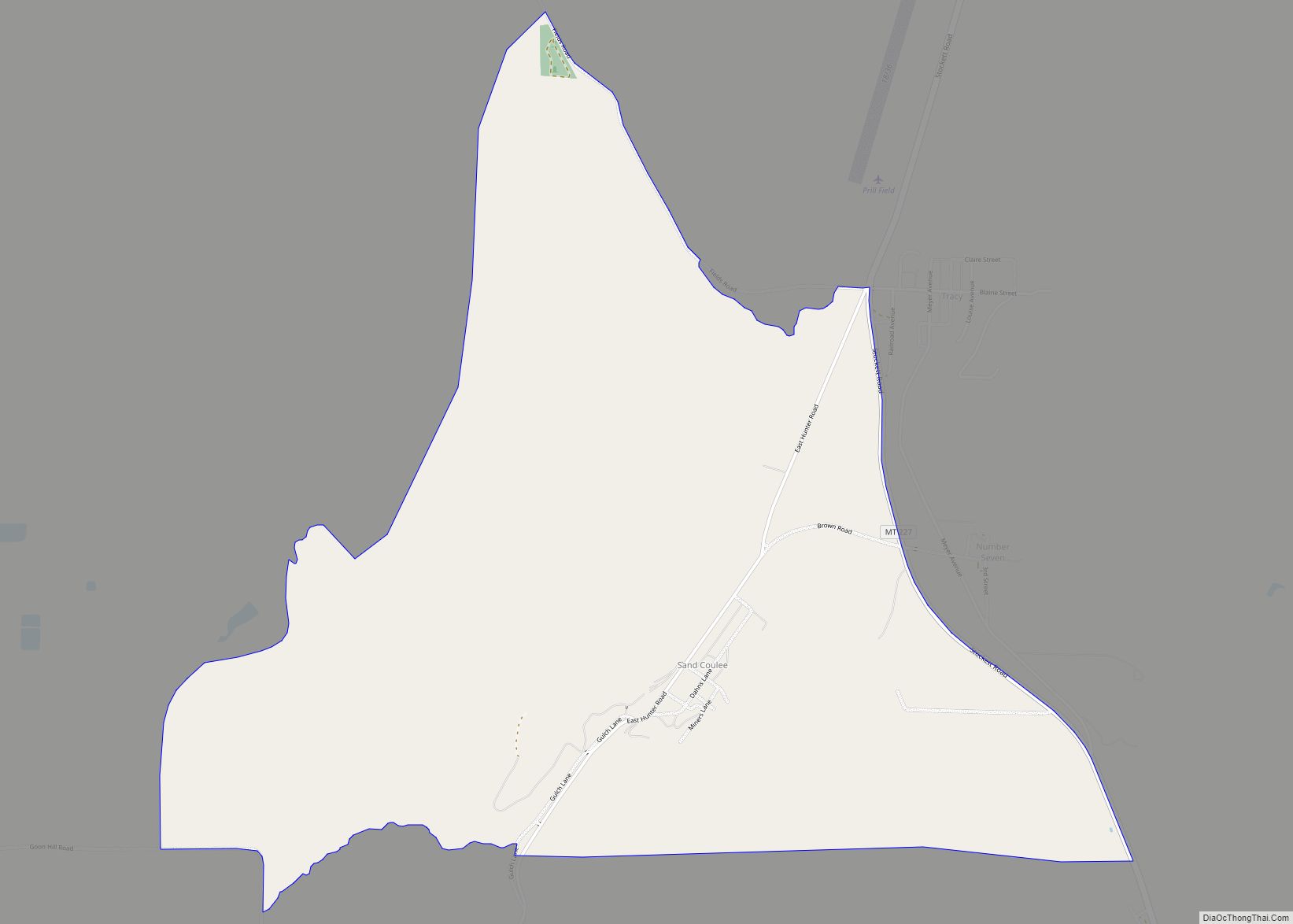
- Sand Coulee
- Simms
- Sun Prairie
- Sun River
- Ulm
- Vaughn
See also
Map of Montana State and its subdivision:- Beaverhead
- Big Horn
- Blaine
- Broadwater
- Carbon
- Carter
- Cascade
- Chouteau
- Custer
- Daniels
- Dawson
- Deer Lodge
- Fallon
- Fergus
- Flathead
- Gallatin
- Garfield
- Glacier
- Golden Valley
- Granite
- Hill
- Jefferson
- Judith Basin
- Lake
- Lewis and Clark
- Liberty
- Lincoln
- Madison
- McCone
- Meagher
- Mineral
- Missoula
- Musselshell
- Park
- Petroleum
- Phillips
- Pondera
- Powder River
- Powell
- Prairie
- Ravalli
- Richland
- Roosevelt
- Rosebud
- Sanders
- Sheridan
- Silver Bow
- Stillwater
- Sweet Grass
- Teton
- Toole
- Treasure
- Valley
- Wheatland
- Wibaux
- Yellowstone
- Alabama
- Alaska
- Arizona
- Arkansas
- California
- Colorado
- Connecticut
- Delaware
- District of Columbia
- Florida
- Georgia
- Hawaii
- Idaho
- Illinois
- Indiana
- Iowa
- Kansas
- Kentucky
- Louisiana
- Maine
- Maryland
- Massachusetts
- Michigan
- Minnesota
- Mississippi
- Missouri
- Montana
- Nebraska
- Nevada
- New Hampshire
- New Jersey
- New Mexico
- New York
- North Carolina
- North Dakota
- Ohio
- Oklahoma
- Oregon
- Pennsylvania
- Rhode Island
- South Carolina
- South Dakota
- Tennessee
- Texas
- Utah
- Vermont
- Virginia
- Washington
- West Virginia
- Wisconsin
- Wyoming