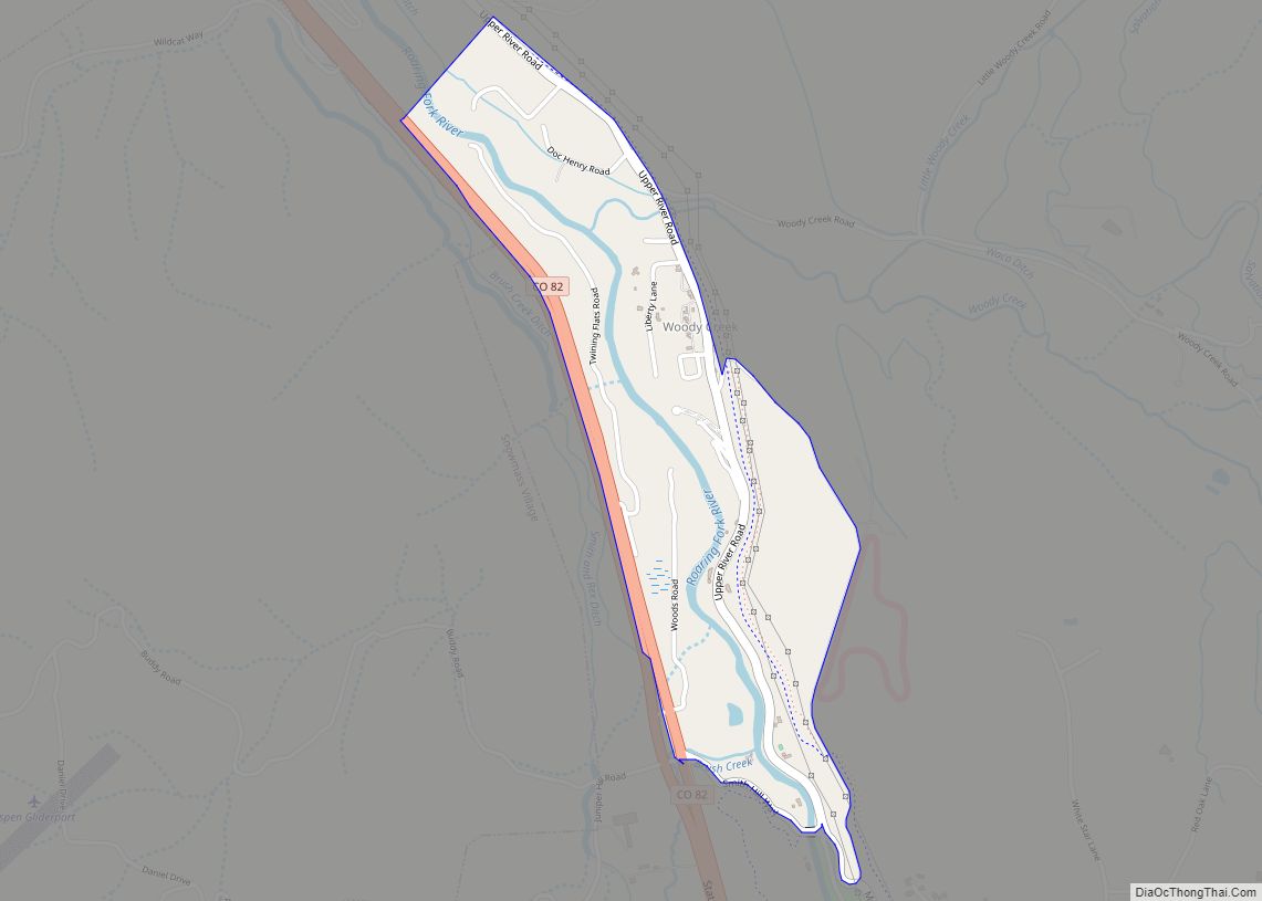
Map of Woodmoor CDP
Woodmoor is an unincorporated community and a census-designated place (CDP) located in and governed by El Paso County, Colorado, United States. The CDP is a part of the Colorado Springs, CO Metropolitan Statistical Area. The population of the Woodmoor CDP was 9,536 at the United States Census 2020. The Monument post office (Zip Code 80132) ... Read more
Map of Woodmoor CDP
Map of Wray city
Wray (/ˈreɪ/) is the home rule municipality that is the county seat of Yuma County, Colorado, United States. Located in the Colorado Plains, the city is 170 miles east of Denver, 9 miles west of the Nebraska state line, and 25 miles northwest of the Kansas state line. The population was 2,358 at the 2020 ... Read more
Map of Wray city
Map of Ansonia city, Connecticut
Ansonia is a city in New Haven County, Connecticut, United States. Located on the Naugatuck River, it is immediately north of Derby, and about 12 miles (19 km) northwest of New Haven. The city is part of the Naugatuck Valley Planning Region. The population was 18,918 at the time of the 2020 census. The ZIP code ... Read more
Map of Ansonia city, Connecticut
Map of Yuma city, Colorado
Yuma is a home rule municipality that is the most populous municipality in Yuma County, Colorado, United States. The population was 3,456 at the 2020 census. Yuma city overview: Name: Yuma city LSAD Code: 25 LSAD Description: city (suffix) State: Colorado County: Yuma County Incorporated: March 24, 1887 Elevation: 4,144 ft (1,263 m) Total Area: 3.14 sq mi (8.13 km²) ... Read more
Map of Yuma city, Colorado
Map of Yampa town
Yampa is a statutory town in Routt County, Colorado, United States. The population was 399 at the 2020 census. Yampa town overview: Name: Yampa town LSAD Code: 43 LSAD Description: town (suffix) State: Colorado County: Routt County Incorporated: February 25, 1907 Elevation: 7,881 ft (2,402 m) Total Area: 0.24 sq mi (0.62 km²) Land Area: 0.24 sq mi (0.62 km²) Water Area: 0.00 sq mi ... Read more
Map of Yampa town
Map of Bethel CDP, Connecticut
Bethel is a census-designated place (CDP) in Fairfield County, Connecticut, United States. It comprises the primary village and surrounding residential land within the town of Bethel. As of the 2010 census, the population of the CDP was 9,549, out of 18,584 in the entire town. Bethel CDP overview: Name: Bethel CDP LSAD Code: 57 LSAD ... Read more
Map of Bethel CDP, Connecticut
Map of Bantam borough
Bantam borough overview: Name: Bantam borough LSAD Code: 21 LSAD Description: borough (suffix) State: Connecticut County: Litchfield County FIPS code: 0902690 Online Interactive Map Bantam online map. Source: Basemap layers from Google Map, Open Street Map (OSM), Arcgisonline, Wmflabs. Boundary Data from Database of Global Administrative Areas. Bantam location map. Where is Bantam borough? Bantam ... Read more
Map of Bantam borough
Map of Baltic CDP, Connecticut
Baltic is the town center village of the town of Sprague, Connecticut, and a census-designated place (CDP). The population of the CDP was 1,250 as of the 2010 census. The Sprague town hall is in Baltic. The Baltic Historic District is a historic district that was listed on the National Register of Historic Places in ... Read more
Map of Baltic CDP, Connecticut
Map of Branford Center CDP
Branford Center CDP overview: Name: Branford Center CDP LSAD Code: 57 LSAD Description: CDP (suffix) State: Connecticut County: New Haven County FIPS code: 0907345 Online Interactive Map Branford Center online map. Source: Basemap layers from Google Map, Open Street Map (OSM), Arcgisonline, Wmflabs. Boundary Data from Database of Global Administrative Areas. Branford Center location map. ... Read more
Map of Branford Center CDP
Map of Blue Hills CDP
Blue Hills is a community in Hartford County, Connecticut, encompassing the northwest corner of the city of Hartford and the southeast corner of the town of Bloomfield. The Bloomfield portion is listed by the U.S. Census Bureau as a census-designated place (CDP), with a population of 2,762 at the 2020 census. Blue Hills is home ... Read more
Map of Blue Hills CDP
Map of Bethlehem Village CDP
Bethlehem Village is a census-designated place (CDP) within the town of Bethlehem in Litchfield County, Connecticut, United States. The CDP includes the Bethlehem Green Historic District at the town center, as well as surrounding residential and rural land. As of the 2010 census, the CDP had a population of 2,021, out of a population of ... Read more
Map of Bethlehem Village CDP
Map of Bristol city, Connecticut
Bristol is a suburban city located in Hartford County, Connecticut, United States, 20 miles (32 km) southwest-west of Hartford. The city is also 120 miles southwest from Boston, and approximately 100 miles northeast of New York City. The city is part of the Naugatuck Valley Planning Region. As of the 2020 census, the population of the ... Read more
Map of Bristol city, Connecticut