| Name: | Branford Center CDP |
|---|---|
| LSAD Code: | 57 |
| LSAD Description: | CDP (suffix) |
| State: | Connecticut |
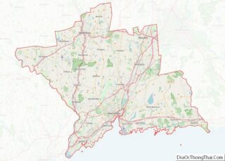
| County: | New Haven County |
| FIPS code: | 0907345 |
Online Interactive Map
Click on ![]() to view map in "full screen" mode.
to view map in "full screen" mode.
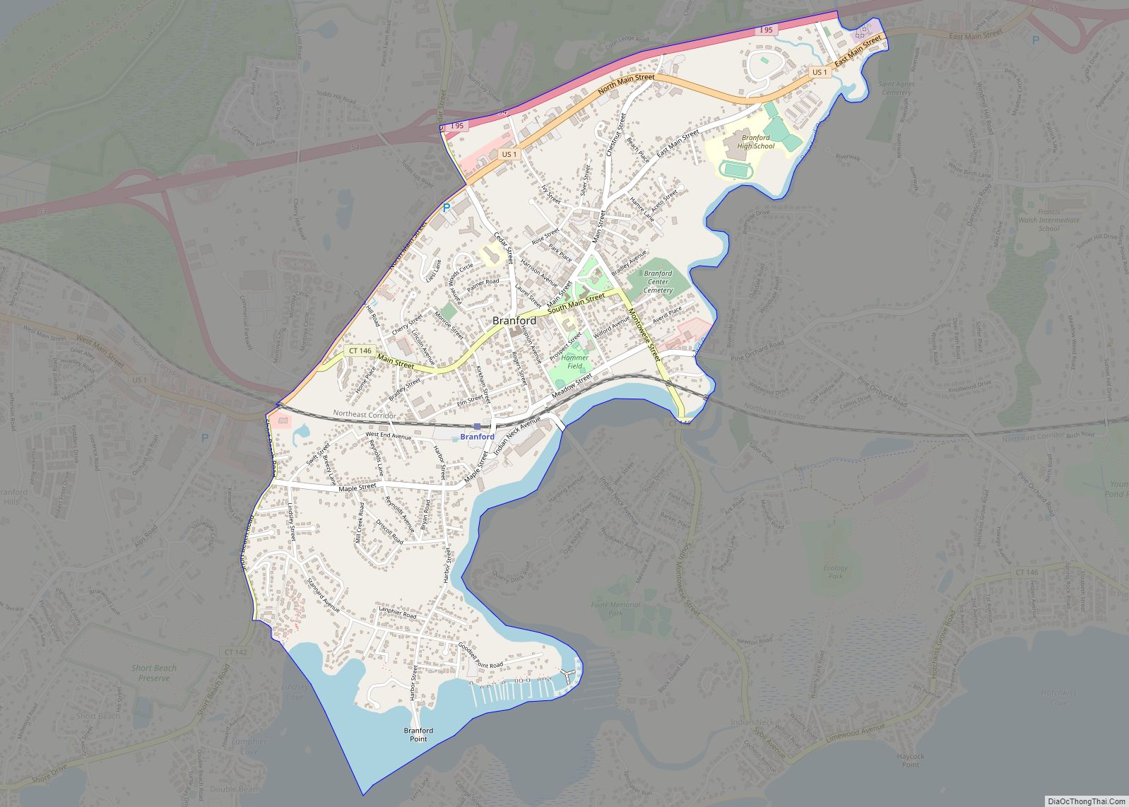
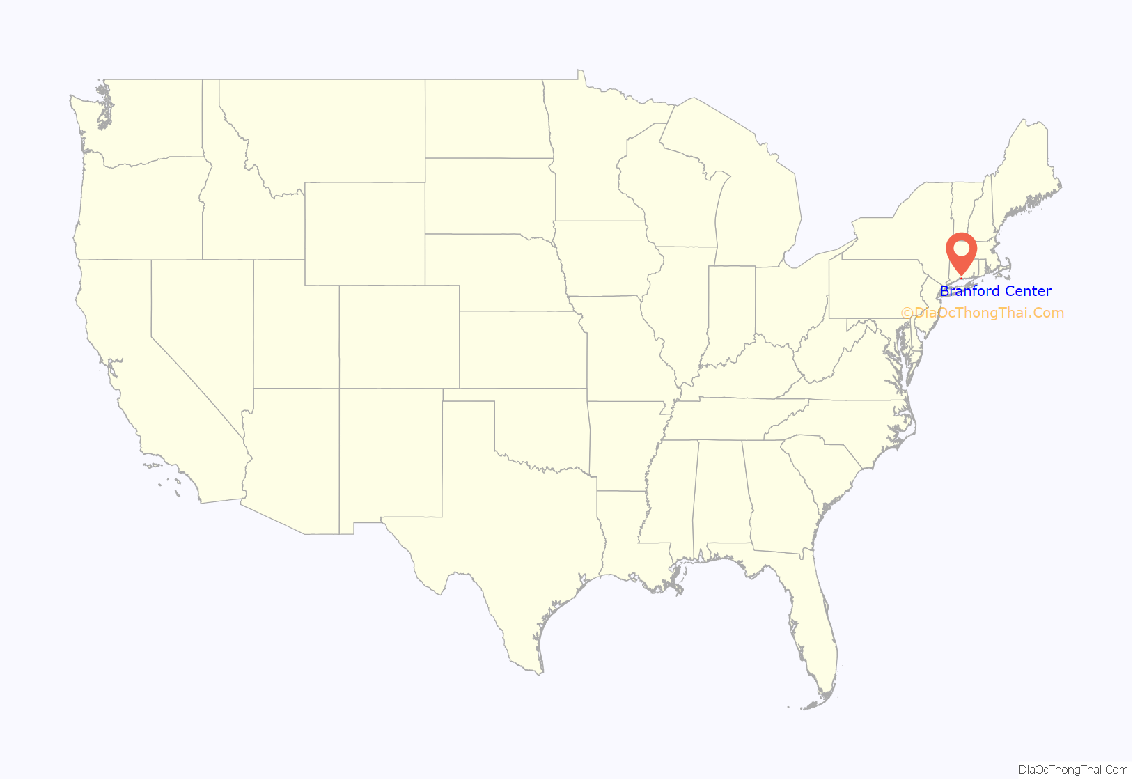
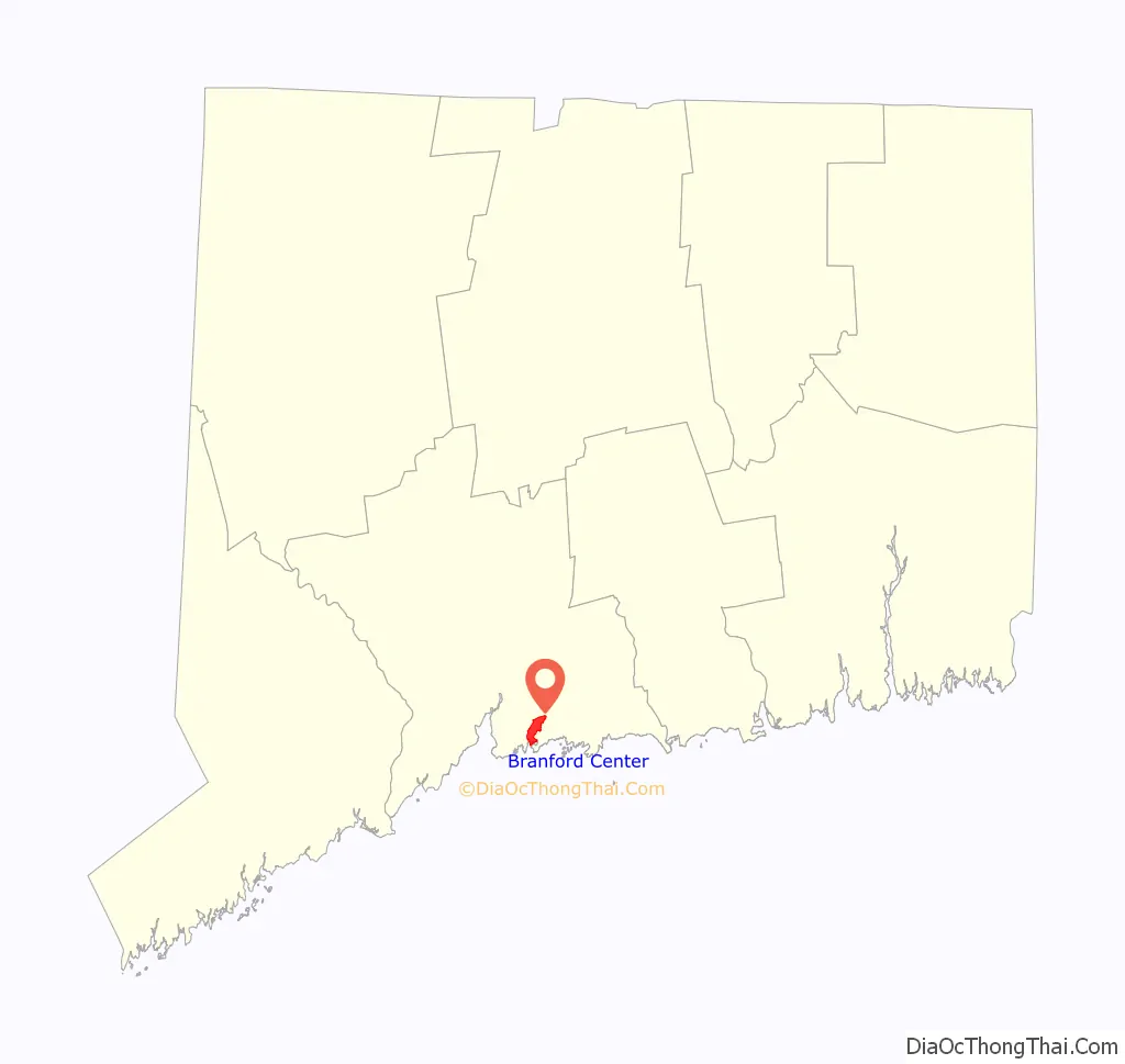
Branford Center location map. Where is Branford Center CDP?
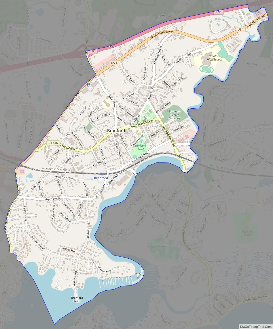
Branford Center Road Map
Branford Center city Satellite Map

Geography
As defined by the U.S. Census Bureau, the boundaries of the Center extend from the Branford River north along Short Beach Road (Connecticut Route 142) to U.S. Route 1 (West Main Street), then northeast along Route 1 (becoming North Main Street) to Cedar Street, north on Cedar Street to Interstate 95, and east (northbound) on I-95 to the Branford River, which forms the entire southeastern boundary of the CDP.
According to the United States Census Bureau, the CDP (which includes Branford Point in addition to the center) has a total area of 2.1 square miles (5.4 km), of which 1.9 square miles (4.9 km) is land and 0.2 square miles (0.52 km), or 10.14%, is water.
Branford Green
The green is typical of a traditional New England town, and serves as Branford’s social, commercial, and governmental nerve center. It is home to many small stores, restaurants, and coffee houses, (including perennial favorites like Ashley’s Ice Cream and Common Grounds) and hosts concerts and other events. Notable annual events include the Branford Festival, and the used book sale held by the Friends of the Blackstone Memorial Library.
The Branford Green is lined with churches as well as the town hall; other government facilities (such as the Branford Police Department and United States Post Office), are located on nearby Harrison Avenue. A memorial to Branford’s contributions during the American Civil War is to the right of the town hall. The historic Blackstone Library is situated in the western portion of the center. It also contains five schools: St. Mary School (grades K-8), John B. Sliney (grades K-4), Mary T. Murphy, Mary Tisko and Branford High School (grades 9–12).
See also
Map of Connecticut State and its subdivision: Map of other states:- Alabama
- Alaska
- Arizona
- Arkansas
- California
- Colorado
- Connecticut
- Delaware
- District of Columbia
- Florida
- Georgia
- Hawaii
- Idaho
- Illinois
- Indiana
- Iowa
- Kansas
- Kentucky
- Louisiana
- Maine
- Maryland
- Massachusetts
- Michigan
- Minnesota
- Mississippi
- Missouri
- Montana
- Nebraska
- Nevada
- New Hampshire
- New Jersey
- New Mexico
- New York
- North Carolina
- North Dakota
- Ohio
- Oklahoma
- Oregon
- Pennsylvania
- Rhode Island
- South Carolina
- South Dakota
- Tennessee
- Texas
- Utah
- Vermont
- Virginia
- Washington
- West Virginia
- Wisconsin
- Wyoming