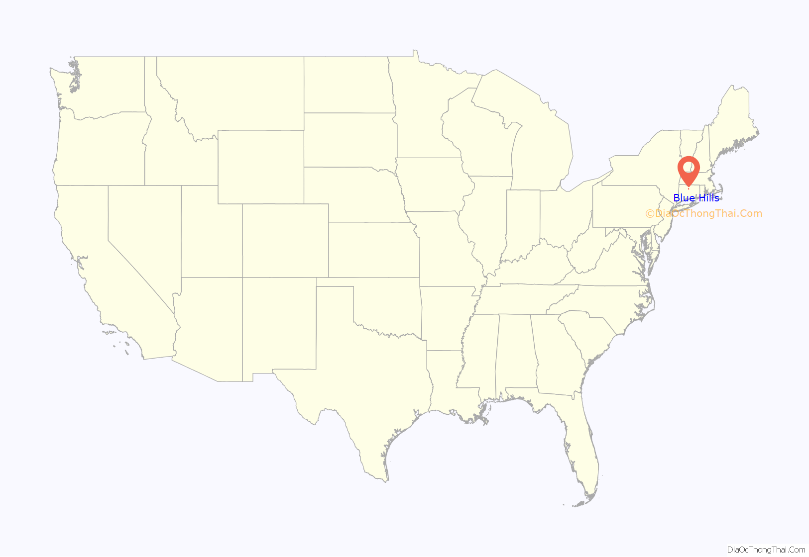
Blue Hills is a community in Hartford County, Connecticut, encompassing the northwest corner of the city of Hartford and the southeast corner of the town of Bloomfield. The Bloomfield portion is listed by the U.S. Census Bureau as a census-designated place (CDP), with a population of 2,762 at the 2020 census.
Blue Hills is home to many schools and homes. Including the portion in Hartford, it has roughly 10,000 residents, and has several schools and one university located there. Its main thoroughfares are Granby Street, Blue Hills Avenue (Route 187), Plainfield Street, Bloomfield Avenue (Route 189) and Albany Avenue (US 44). Connecticut Transit operates several bus routes through the neighborhood, such as the 50, 52 and 54, which run on Blue Hills Avenue, the 56 and 58, which run up on Albany Avenue and Bloomfield Avenue, the 74, which runs through Westbrook Village on its way to Copaco Shopping Center via Granby Street, and the 76, which runs on Cornwall Street towards Bowles Park.
Blue Hills has a majority of West Indian and African American people. Educational institutions include Annie Fisher ES, Mountain Laurel School (Annie Fisher School Annex), Sarah J. Rawson ES, Mark Twain ES, Martin Luther King, Jr. ES, Weaver HS, Watkinson School, and the University of Hartford.
| Name: | Blue Hills CDP |
|---|---|
| LSAD Code: | 57 |
| LSAD Description: | CDP (suffix) |
| State: | Connecticut |
| County: | Hartford County |
| Elevation: | 140 ft (40 m) |
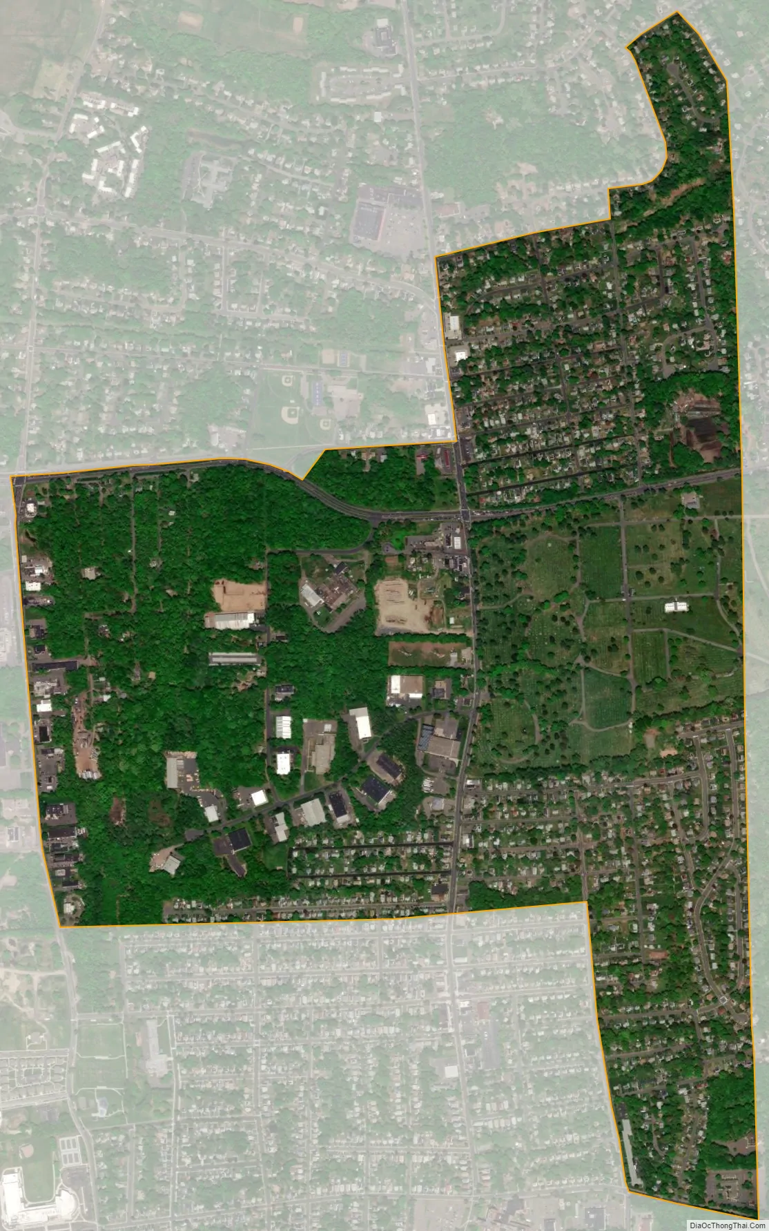
| Total Area: | 1.17 sq mi (3.02 km²) |
| Land Area: | 1.17 sq mi (3.02 km²) |
| Water Area: | 0.0 sq mi (0.0 km²) |
| Total Population: | 2,762 |
| Population Density: | 2,490/sq mi (961.4/km²) |
| ZIP code: | 06112 |
| FIPS code: | 0906050 |
| GNISfeature ID: | 2378337 |
Online Interactive Map
Click on ![]() to view map in "full screen" mode.
to view map in "full screen" mode.
Blue Hills location map. Where is Blue Hills CDP?

Blue Hills Road Map

Blue Hills city Satellite Map
Geography
According to the United States Census Bureau, the CDP portion of Blue Hills has a total area of 1.2 square miles (3.0 km), all land.
See also
Map of Connecticut State and its subdivision: Map of other states:- Alabama
- Alaska
- Arizona
- Arkansas
- California
- Colorado
- Connecticut
- Delaware
- District of Columbia
- Florida
- Georgia
- Hawaii
- Idaho
- Illinois
- Indiana
- Iowa
- Kansas
- Kentucky
- Louisiana
- Maine
- Maryland
- Massachusetts
- Michigan
- Minnesota
- Mississippi
- Missouri
- Montana
- Nebraska
- Nevada
- New Hampshire
- New Jersey
- New Mexico
- New York
- North Carolina
- North Dakota
- Ohio
- Oklahoma
- Oregon
- Pennsylvania
- Rhode Island
- South Carolina
- South Dakota
- Tennessee
- Texas
- Utah
- Vermont
- Virginia
- Washington
- West Virginia
- Wisconsin
- Wyoming


