Mount Pleasant is a large suburban town in Charleston County, South Carolina, United States. In the Low Country, it is the fourth largest municipality and largest town in South Carolina, and for several years was one of the state’s fastest-growing areas, doubling in population between 1990 and 2000. The population was 90,801 at the 2020 census.
At the foot of the Arthur Ravenel Bridge is Patriots Point, a naval and maritime museum, home to the World War II aircraft carrier USS Yorktown, which is now a museum ship. The Ravenel Bridge, an eight-lane highway that was completed in 2005, spans the Cooper River and links Mount Pleasant with the city of Charleston.
| Name: | Mount Pleasant town |
|---|---|
| LSAD Code: | 43 |
| LSAD Description: | town (suffix) |
| State: | South Carolina |
| County: | Charleston County |
| Founded: | 1776 (Greenwich) 1803 (Mount Pleasant) |
| Elevation: | 16 ft (5 m) |
| Total Area: | 58.66 sq mi (151.92 km²) |
| Land Area: | 49.55 sq mi (128.32 km²) |
| Water Area: | 9.11 sq mi (23.60 km²) |
| Total Population: | 90,801 |
| Population Density: | 1,832.70/sq mi (707.60/km²) |
| ZIP code: | 29464-29466, 29429 |
| Area code: | 843, 854 |
| FIPS code: | 4548535 |
| GNISfeature ID: | 1224770 |
| Website: | www.tompsc.com |
Online Interactive Map
Click on ![]() to view map in "full screen" mode.
to view map in "full screen" mode.
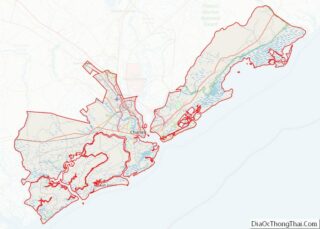
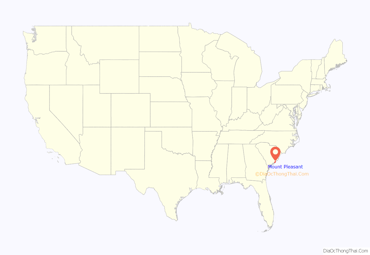
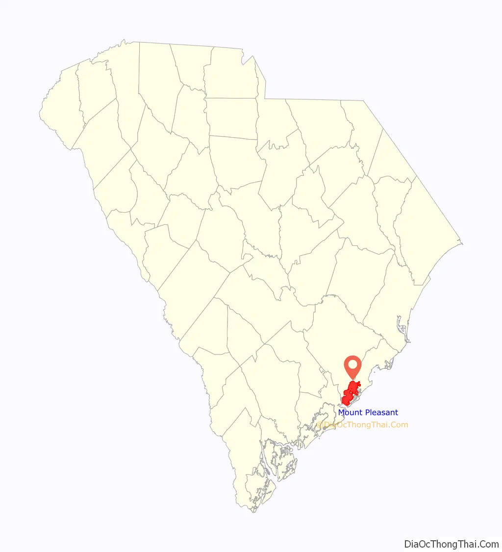
Mount Pleasant location map. Where is Mount Pleasant town?
History
The site of Mount Pleasant was originally occupied by the Sewee people, an Algonquian language-speaking tribe. The first European settlers arrived from England on July 6, 1680, under the leadership of Captain Florentia O’Sullivan. Captain O’Sullivan had been granted 2,340 acres (950 ha), which included not only the island later named for him, but also the future site of Mount Pleasant. On the earliest map of the time, this area was called “North Point”.
In 1696, 51 new settlers arrived. Each family was allotted several hundred acres in the area that became known as Christ Church parish. In 1706 the Province of Carolina withstood several attacks by the Spanish and the French from their settlements to the south and were victorious in defeating French invaders in an area known as “Abcaw”.
The area of “Abcaw” was Hobcaw Plantation, located between Shem Creek and the Wando River. Later, it was also known as Shipyard Plantation. Its access to deep water and abundance of good timber made it ideal for the development of a prosperous shipbuilding enterprise. Lands adjacent to Hobcaw Point were owned at different times by several different English families, many of which maintained ferries which served Mount Pleasant. By 1721, 107 families were living in Christ Church parish, including 400 whites and 637 enslaved Africans or African Americans. As the area was developed for large plantations, enslaved Africans and African Americans made up the chief labor force of the slave society. Based on this history, the majority of the population in the town was African American through the 19th and early 20th centuries.
In 1754, Charles Pinckney acquired a 715-acre plantation, cultivating the commodity crops of rice and indigo. It became known as Snee Farm near here. His son Charles retained the plantation until 1817. It was operated as a plantation through the 19th century.
On September 24, 1860, a public meeting was held in Mount Pleasant; it resulted in the first secession resolution passed in the state. The secession convention met in Charleston on December 20, 1860. With the advent of the Civil War, Battery Guerry and an adjacent floating battery between Mount Pleasant and Sullivan’s Island were instrumental in defense of the city. They were also bases for attacks on Fort Sumter. The city was defended by a line of fortifications from Elliot’s Creek at Boone Hall to Copahee Sound. Mount Pleasant was the secret training ground for the nine-man crew of the Confederate submarine H. L. Hunley. This small vessel was launched from Breach Inlet in 1864 to attack and sink the USS Housatonic.
The original plank-and-barrel footbridge, later known as the Pitt Street Bridge at the foot of the Old Village area in Mount Pleasant, was used by the crew of the H.L. Hunley to cross to Breach Inlet to test the submarine. In 1899 the original wooden plank bridge was replaced by a trolley bridge.
A generation later, in 1929 a steel drawbridge was built for vehicle access between Sullivan’s Island and Mount Pleasant. The Pitt Street bridge was dismantled in 1945, but the remains are visible in the Intracoastal Waterway. The area has been maintained since then as the Pickett Bridge Recreation Area. It was named for Charleston doctor Otis Pickett.
The “Old Village” is Mount Pleasant’s oldest neighborhood; the oldest home, 111 Hibben Street (the Hibben House) was constructed in 1755 by Jacob Motte, a descendant of French Huguenots who had immigrated to South Carolina to escape religious persecution.
In the early 21st century, the Old Village is centered on the Pitt Street Shops at the northwestern end of the street. Among them is the Pitt Street Pharmacy, which was featured on the Food Network. It has operated at this location for more than 60 years.
The numerous slaves were freed during and after the Civil War. In 1875 African Americans made up 73% of the population in Charleston County.
Scanlonville
Some of the freedmen developed Scanlonville, one of the first African-American communities to be formed after the Civil War in the Charleston area. Today it is a neighborhood within Mount Pleasant, having been annexed by the city. Robert Scanlon, a freedman carpenter, purchased the 614-acre (248 ha) property known as Remley’s Plantation, bordering Charleston harbor along the Wando River in Mount Pleasant. Scanlon was the president and founder of the Charleston Land Company, formed by 100 local freedmen who pooled their limited resources and paid $10 per share, in order to purchase large tracts of land in the area. The Charleston Land Company divided this tract into smaller lots so that freedmen could have their own land. Remley’s Plantation was divided into farm lots and city lots (which were smaller) to form the community of Scanlonville. The Charleston Land Company and Scanlonville are one of four known cooperative real estate development ventures among African-American freedmen after the Civil War. Remley Point Cemetery is in Scanlonville.
Riverside
West of Scanlonville is Riverside. During the Jim Crow years of much of the 20th century, this was known as the largest and oldest of five “black beaches” in Charleston County. It was established when public facilities were segregated under state law. Riverside officially opened in 1930 and featured a dance pavilion, athletics field, bathhouse, playground, and a boardwalk along the Wando River. Riverside Pavilion was the only venue where black city residents could see African-American musical legends such as Duke Ellington, Count Basie, Louis Armstrong, B.B. King, and Ivory Joe Hunter, who also performed in whites-only venues. Music performances at the Pavilion spawned juke joints, or night clubs, in Scanlonville and eventually a hotel called White’s Paradise. James Brown was known to have frequented this hotel.
After the original park owner died in 1975, operations of the Riverside property were taken over by Charleston County. It eventually sold the property to a real estate company, which developed this area as a private gated community. Public access to the waterfront ended.
Hurricane Hugo and growth that followed
On September 21, 1989, Mount Pleasant was hit by Hurricane Hugo, a Category Four hurricane. While the town was spared from the worst of the storm (Category 4 conditions were suffered by areas further north of the city), the town and its neighboring barrier islands still had severe damage. Children who lived through the storm were featured in an early episode of Nickelodeon’s Nick News, along with children who lived through Hurricane Andrew.
Development continued. A year after the storm, more people moved to the area, and the town had its largest growth spurt. It increased from a population of roughly 23,000 in 1990 to one of roughly 47,000 in 2000.
County seat
The county seat for Berkeley County was located in Mount Pleasant from 1882 until 1895, when it was moved to Moncks Corner.
Bridges
In 1928, a bridge from the Charleston Peninsula to Mount Pleasant was built. Spanning Town Creek and the Cooper River, and crossing the uninhabited Drum Island, the two-lane Grace Memorial Bridge was opened as a toll bridge. A second and larger bridge, the Silas N. Pearman Bridge, opened in 1966.
On July 16, 2005, the eight-lane Arthur Ravenel Bridge opened for automotive traffic, replacing the two aging bridges. It is one of the longest cable-stayed bridges in the Western Hemisphere. A week before the new bridge officially opened, pedestrians were allowed to cross the bridge, and commemorative coins were distributed. Also, a fireworks display was part of the ceremonies before the official opening. Several cars from the same time period as the Grace Memorial Bridge, including several restored Model A Fords, made a final crossing of the old bridges. The remaining portions of the old bridges were demolished. Local residents watched as the bridges were demolished by explosives over several weeks, through the summer of 2006.
In 2004, Mount Pleasant became one of the first municipalities in the United States to pass a “pay-before-you-pump” gas ordinance. It was intended to reduce stealing of gas that had accompanied rising prices.
Mount Pleasant Road Map

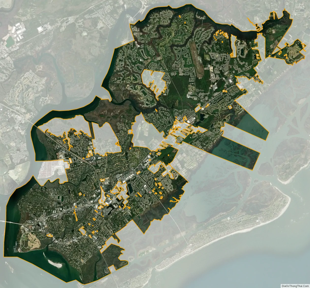
Mount Pleasant city Satellite Map
Geography
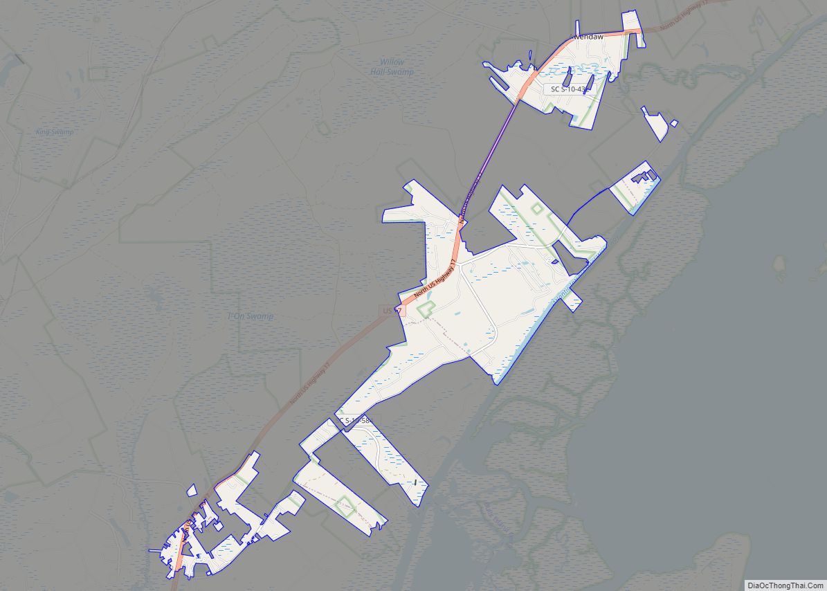
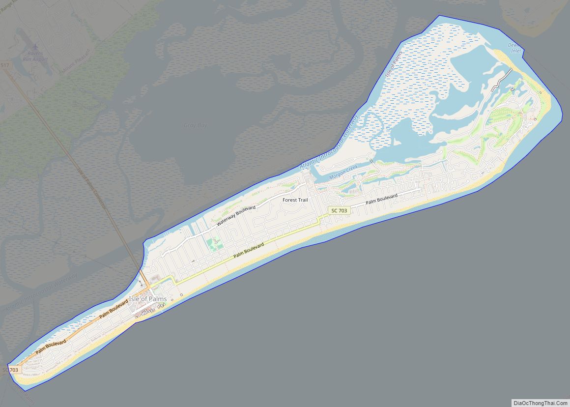
Mount Pleasant is located in central Charleston County at 32°49′23″N 79°50′44″W / 32.82306°N 79.84556°W / 32.82306; -79.84556 (32.823189, -79.845477), on the east side of Charleston Harbor and the tidal Wando River. It is bordered to the south by the city of Sullivan’s Island and to the west and northwest, across the harbor and river, by the city of Charleston. Over time, the town limits have pushed northeastward from the Old Village area 24 miles (39 km) along U.S. Route 17, nearly as far as Awendaw.
Mount Pleasant is separated from Charleston by the Cooper River. For many years, the town was populated largely on a seasonal basis by Charleston residents wealthy enough to afford summer homes across the river from the Charleston peninsula, where they would go believing they could escape the regular summer “fevers”. The population of Mount Pleasant was centered in “Old Village”.
According to the United States Census Bureau, the town has a total area of 52.6 square miles (136.2 km), of which 45.1 square miles (116.8 km) is land and 7.5 square miles (19.5 km), or 14.30%, is water.
See also
Map of South Carolina State and its subdivision:- Abbeville
- Aiken
- Allendale
- Anderson
- Bamberg
- Barnwell
- Beaufort
- Berkeley
- Calhoun
- Charleston
- Cherokee
- Chester
- Chesterfield
- Clarendon
- Colleton
- Darlington
- Dillon
- Dorchester
- Edgefield
- Fairfield
- Florence
- Georgetown
- Greenville
- Greenwood
- Hampton
- Horry
- Jasper
- Kershaw
- Lancaster
- Laurens
- Lee
- Lexington
- Marion
- Marlboro
- McCormick
- Newberry
- Oconee
- Orangeburg
- Pickens
- Richland
- Saluda
- Spartanburg
- Sumter
- Union
- Williamsburg
- York
- Alabama
- Alaska
- Arizona
- Arkansas
- California
- Colorado
- Connecticut
- Delaware
- District of Columbia
- Florida
- Georgia
- Hawaii
- Idaho
- Illinois
- Indiana
- Iowa
- Kansas
- Kentucky
- Louisiana
- Maine
- Maryland
- Massachusetts
- Michigan
- Minnesota
- Mississippi
- Missouri
- Montana
- Nebraska
- Nevada
- New Hampshire
- New Jersey
- New Mexico
- New York
- North Carolina
- North Dakota
- Ohio
- Oklahoma
- Oregon
- Pennsylvania
- Rhode Island
- South Carolina
- South Dakota
- Tennessee
- Texas
- Utah
- Vermont
- Virginia
- Washington
- West Virginia
- Wisconsin
- Wyoming