Rock Hill is the largest city in York County, South Carolina and the fifth-largest city in the state. It is also the fourth-largest city of the Charlotte metropolitan area, behind Charlotte, Concord, and Gastonia (all located in North Carolina, unlike Rock Hill). As of the 2020 census, the population was 74,372.
The city is located approximately 25 miles (40 km) south of Charlotte and approximately 70 miles (110 km) north of Columbia.
Rock Hill offers scenic riverfront views along the Catawba River and is home to numerous nature trails, restaurants, and thirty-one parks which are used for both national and local events. Its historic downtown consist of twelve contiguous buildings built as early as 1840 offering dining and retail options. The city is also home to three colleges, including Winthrop University, a public liberal arts university founded in 1886 which enrolls nearly 6,000 students annually.
| Name: | Rock Hill city |
|---|---|
| LSAD Code: | 25 |
| LSAD Description: | city (suffix) |
| State: | South Carolina |
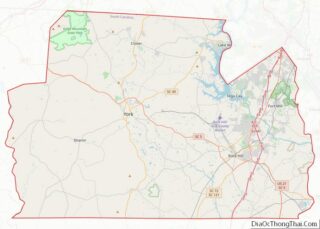
| County: | York County |
| Founded: | 1852 |
| Incorporated: | 1892 |
| Elevation: | 676 ft (206 m) |
| Land Area: | 43.69 sq mi (113.17 km²) |
| Water Area: | 0.16 sq mi (0.41 km²) 0.4% |
| Population Density: | 1,702.11/sq mi (657.19/km²) |
| ZIP code: | 29730 29731 29732 29733 29734 |
| Area code: | 803, 839 |
| FIPS code: | 4561405 |
| GNISfeature ID: | 1250417 |
| Website: | www.cityofrockhill.com |
Online Interactive Map
Click on ![]() to view map in "full screen" mode.
to view map in "full screen" mode.
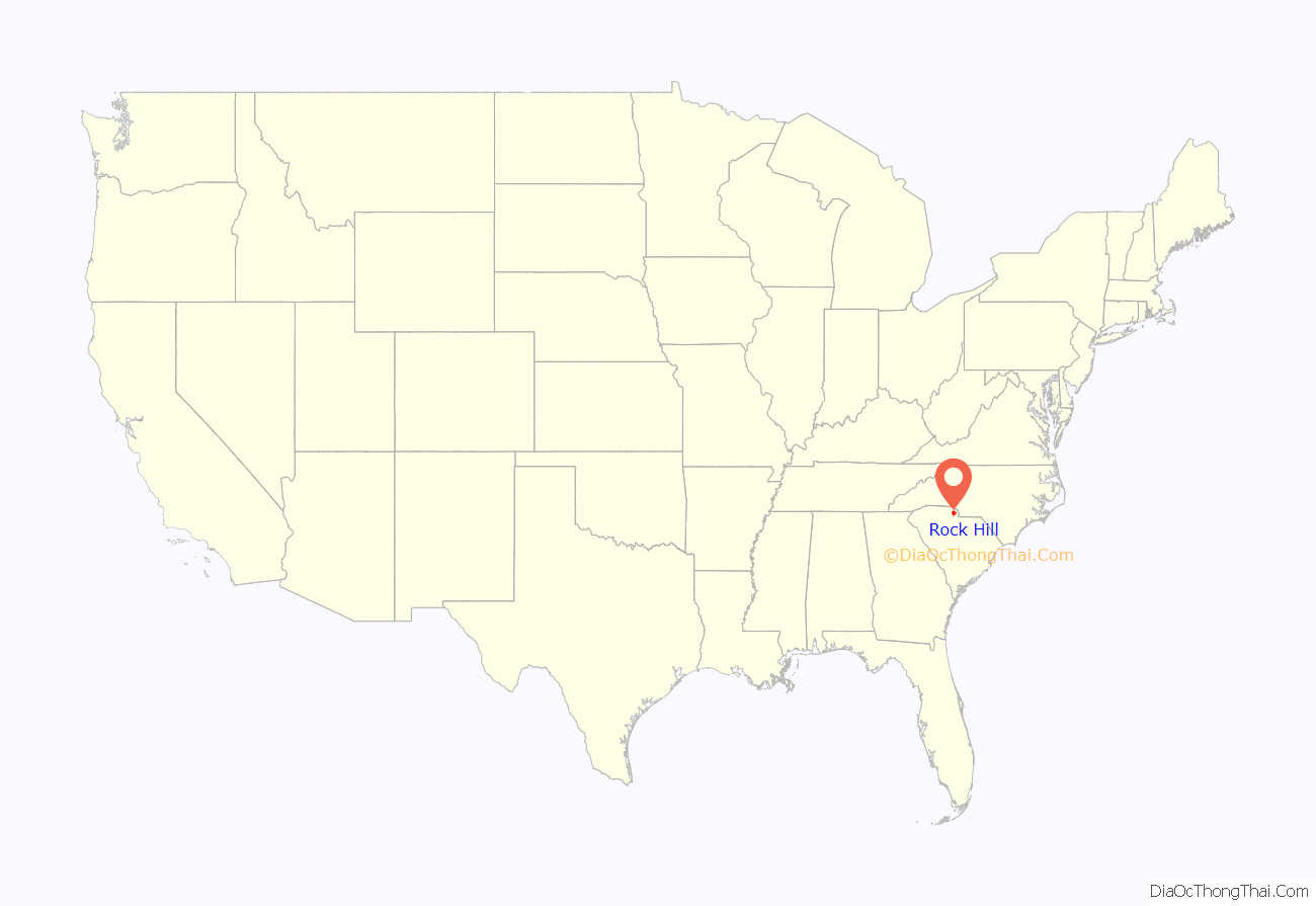
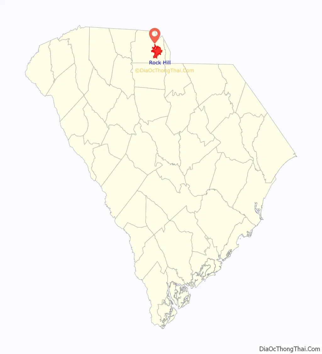
Rock Hill location map. Where is Rock Hill city?
History
Founding
Although some European settlers had already arrived in the Rock Hill area in the 1830s and 1840s, Rock Hill did not become an actual town until the Charlotte and South Carolina Railroad Company made the decision to send a rail line through the area. Originally, the railroad had hoped to build a station in the nearby village of Ebenezerville which was squarely between Charlotte, North Carolina and Columbia, South Carolina. When approached, however, the locals in Ebenezerville refused to have the railroad run through their village since they considered it dirty and noisy. Instead, engineers and surveyors decided to run the line two miles away by a local landmark. According to some, the engineers marked the spot on the map and named it “rocky hill.”
Some of Rock Hill’s early founding families—the White family, the Black family, and the Moores—believed that having a rail depot so close to them would be advantageous, so they decided to give the Columbia and Charlotte Railroad the right of way through their properties. As they were the three largest landowners in the area, this settled the matter. George Pendleton White contracted with the railroad to build a section of the line. Construction began in 1848. The first passenger train arrived on March 23, 1852. A few weeks later, on April 17, 1852, the first Rock Hill Post Office opened.
Now that Rock Hill had a name, a railroad station, and a post office, it began to draw more settlers to the area. Captain J. H. McGinnis built a small general store near the station in 1849 or 1850 to provide supplies for the construction and railroad workers. Templeton Black, who had leased the land to McGinnis, decided to devote some of his other adjacent land to building a larger town. He hired a local surveyor, Squire John Roddey, to organize a main street. Black sold his first plot of land along that street to Ira Ferguson for $125 a few weeks before the post office opened; other businessmen bought plots quickly after that.
Rock Hill Academy, the first school in Rock Hill, opened in September 1854. Despite its official name, most residents referred to it as the Pine Grove Academy after the pine grove it was located in. Ann Hutchinson White, wife of George White, donated the land to the school after her husband’s death. The school had 60 male pupils in 1856; a school for girls was later opened in the same place.
Prior to 1857, the Indian Land Chronicle was Rock Hill’s first newspaper. It was renamed The Rock Hill Chronicle in 1860. Prior to 1860, Rock Hill had at least two doctors.
American Civil War
Shortly before the American Civil War began, a census had been taken of the population in York County where Rock Hill is located. Half of the district’s 21,800 residents were enslaved people, integral to local cotton production. The 4,379 white males in the county formed fourteen infantry companies; some of the men joined cavalry or artillery units instead. By the end of the war, 805 of these men had died, and hundreds more were wounded. Men from Rock Hill and York County were involved in many of the major Civil War battles.
Due to its position on the railroad, Rock Hill became a transfer point for Confederate soldiers and supplies moving to and from the front. Since there was no local hospital, townspeople nursed sick and wounded soldiers in their homes. Refugees fleeing the coastal blockade or General Sherman’s troops, also came to Rock Hill.
Beginning in the spring of 1862, local area farmers switched from cotton to corn in order to produce more food. Records show that prices in Rock Hill changed frequently during the war, reflecting both shortages and the inflation of the Confederate paper money.
Confederate General P. G. T. Beauregard set up a temporary headquarters in Rock Hill on February 21, 1865. He ordered the roads to Charlotte blocked to try to prevent General Sherman from reaching the city; Sherman ultimately went in a different direction.
When General Lee surrendered at the Appomattox Court House, it was actually a future Rock Hill resident who was responsible for waving the white flag. Captain Robert Moorman Sims, a farmer from Lancaster County, was sent by General James Longstreet to inform Union troops that the Confederate troops wanted a truce.
Post-Civil War
The Civil War changed the social, economic, and political situation in Rock Hill tremendously, as it did elsewhere in the South. Rock Hill grew as a town, taking in war refugees, widows and their families, and the return of the men who had left to fight in the war. The formerly wealthy elite sold off their land to stay afloat financially. Town life would begin to become more important than rural life.
Most of the merchants in Rock Hill around 1870 were former Confederate soldiers; many were entrepreneurs who were new to town, trying to start over. In 1870, even the largest stores in Rock Hill were only one story tall, and there were no sidewalks along the roads. The first drug store in Rock Hill opened in the 1870s. A locally contentious bordello was built in 1881 and introduced the town’s first paved sidewalk.
Incorporation
The town was not officially incorporated until 1870, on the third try.
The first attempt to get Rock Hill incorporated was made in 1855. A petition, signed by major landholders and businessmen from the Rock Hill area, was presented to the General Assembly on October 19, 1855. No action on the matter was taken by the General Assembly.
The second attempt was in 1868. In their petition, the townspeople claimed that Rock Hill had over 300 residents, “eleven stores, two churches, two bars, two hotels, two carriage shops, three blacksmith shops, three shoe shops, one tannery, one cabinet shop, and elementary schools for white girls and boys.” The petition was signed by 48 men, most relative newcomers to Rock Hill, with only a few members of the old, established, landed families. The larger landholders opposed incorporation because of the taxes it would bring. They filed a counter-proposal which claimed that there were only 100 residents, many of them temporary. The situation was a strong indication of the changes Rock Hill experienced as it transitioned from mostly farms to a business community. Ultimately, the state legislature did not act on either petition and Rock Hill was still not incorporated.
The third, successful petition was made in 1869, only one year after 1868’s failed petition. This time there were 57 signers in favor of incorporation, with only seven opponents. The opponents collectively owned 80% of the land that would be incorporated into Rock Hill if the petition was successful. They were unsuccessful at preventing incorporation this time; Rock Hill was officially incorporated on February 26, 1870.
Civil rights movement
Rock Hill was the setting for two significant events in the civil rights movement. In February 1961, nine African-American men went to jail at the York County prison farm after staging a sit-in at a segregated McCrory’s lunch counter in downtown Rock Hill. The current location is now known as “Kounter” which has the names of the activists engraved. Their offense was reported to be “refusing to stop singing hymns during their morning devotions.” The event gained nationwide attention as the men followed an untried strategy called “jail, no bail.” Rejecting bail was a way to lessen the huge financial burden which civil rights groups were facing as the sit-in movement spread across the South. As their actions gained widespread national news coverage, the tactic was adopted by other civil rights groups. The men became known as the Friendship Nine because eight of the nine men were students at Rock Hill’s Friendship Junior College.
Later in 1961, Rock Hill was the first stop in the Deep South for a group of 13 Freedom Riders, who boarded buses in Washington, DC, and headed South to test the 1960 ruling by the U.S. Supreme Court outlawing racial segregation in all interstate public facilities. When the civil rights leader John Lewis and another black man stepped off the bus at Rock Hill, they were beaten by a white mob that was uncontrolled by police. The event drew national attention.
In 2002, Lewis, by then a US Congressman from Georgia, returned to Rock Hill, where he had been invited as a speaker at Winthrop University and was given the key to the city. On January 21, 2008, Rep. Lewis returned to Rock Hill again and spoke at the city’s Martin Luther King Jr. Day observance. Mayor Doug Echols officially apologized to him on the city’s behalf for the Freedom Riders’ treatment in the city.
20th century to present
Rock Hill experienced steady growth in the twentieth century. The city boundary expanded far beyond its original limits. Four unincorporated communities of York County were annexed into the city including Boyd Hill in the late 1940s, Ebenezer and Mexico in the 1960s, and Oakdale in the 1980s.
Rock Hill celebrated its centennial in 1952 and its sesquicentennial in 2002.
Rock Hill hosted the 2017 UCI BMX World Championships at the Rock Hill BMX Supercross Track in Riverwalk with an estimated direct economic impact of $19.2 million.
On April 7, 2021, former NFL player Phillip Adams shot and killed six people, including two children, at a house in Rock Hill. He committed suicide the next day.
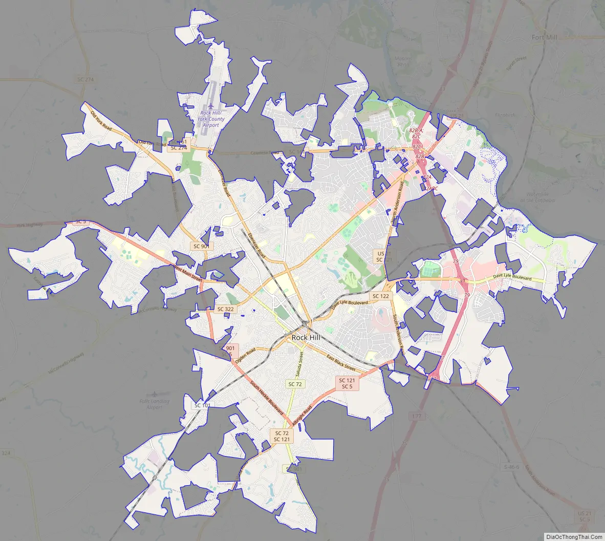
Rock Hill Road Map
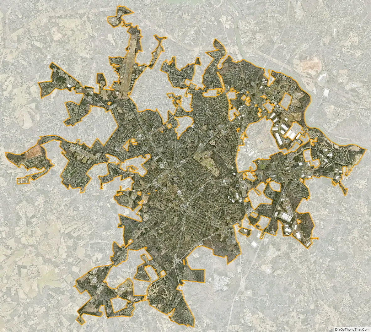
Rock Hill city Satellite Map
Geography
According to the United States Census Bureau, the city has a total area of 43.16 square miles (111.8 km), of which 43.0 square miles (111 km) is land and 0.16 square miles (0.41 km) (0.4%) is water.
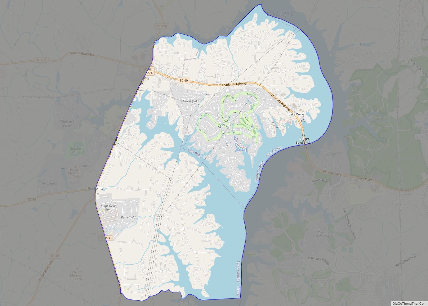
Rock Hill is located along the Catawba River in the north-central section of the Piedmont of South Carolina, south of the city of Charlotte in North Carolina. The city sits at an elevation of around 676 feet (206 m) above sea level. It is located approximately 150 miles (240 km) from the Atlantic Ocean and 75 miles (121 km) from the Blue Ridge Mountains. The northern limits of the city reside along Lake Wylie, a large man-made reservoir.
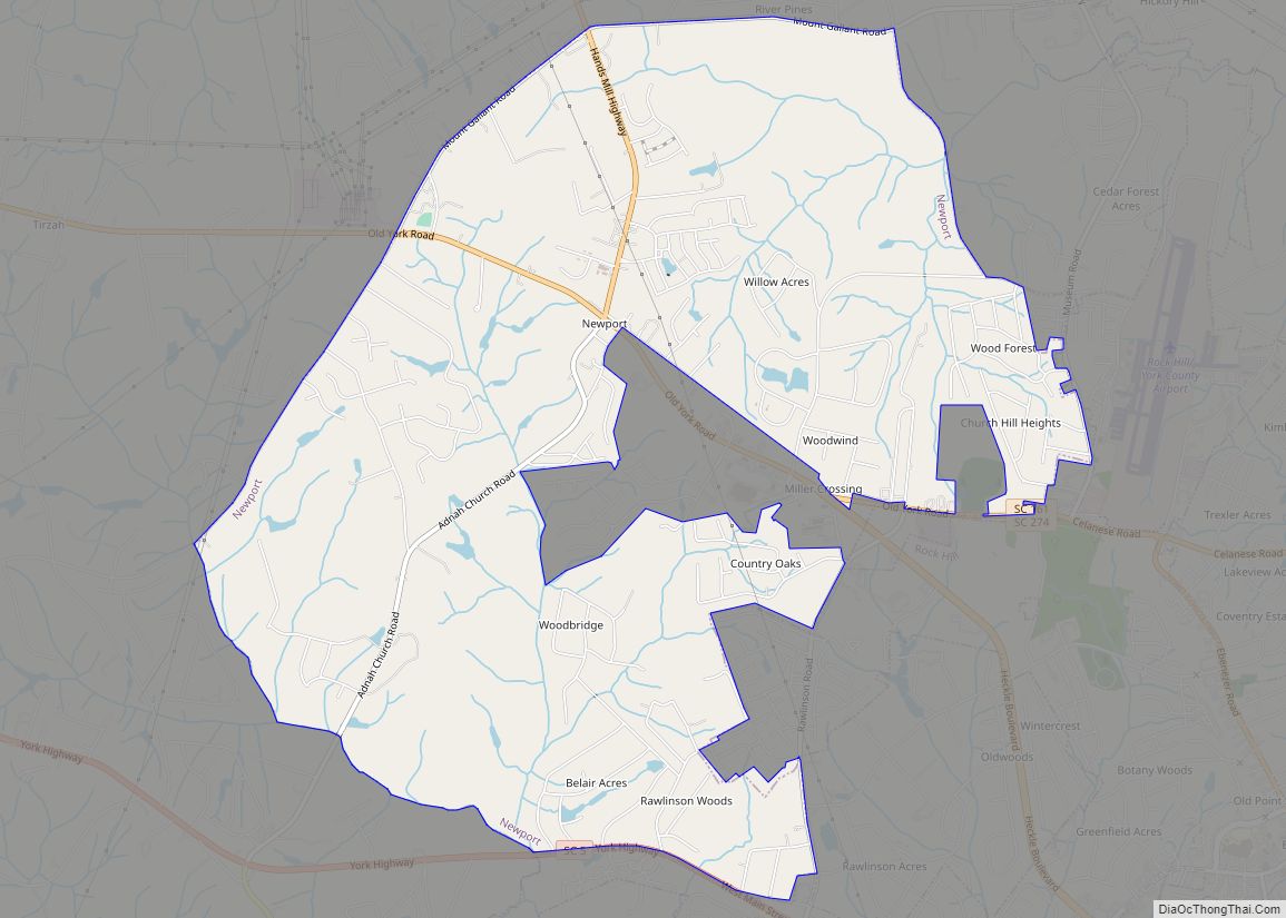
Neighborhoods
Rock Hill consists of numerous neighborhoods, some of which were independent towns and communities at one time that were later annexed into Rock Hill city limits.
- Downtown, the city’s central business district that is home to twelve contiguous buildings built as early as 1870. It is also home to the city’s government offices and numerous restaurants.
- Ebenezer, located north of downtown along Ebenezer Road. This area is home to Piedmont Medical Center as well as both newly developed subdivisions and historic neighborhoods.
- Oakdale, southern city limits located south of downtown and bordered by S.C. Highway 901 to the north and east. The area is home to South Pointe High School and the Rock Hill Country Club golf course.
- Newport, while still considered to be a census-designated place, has been mostly annexed into the city. This fast-growing area with numerous subdivisions is home to the Rock Hill Aquatic Center and located northwest of Ebenezer along S.C. Highway 161.
- Boyd Hill, historic neighborhood bordered by downtown to the south, Ebenezer to the north and S.C. Highway 901 to the west. While the neighborhood is often considered a low-income portion of the city, it is also home to the city’s municipal football and soccer stadium.
Natural disasters
Four notable major natural disasters have struck the city since 1926.
On November 26, 1926, a destructive tornado struck downtown Rock Hill. It was the day after Thanksgiving, late in the season for such a violent storm. The “black as ink twister” took less than 10 minutes to change the face of the business section. The storm touched down in western York County, and entered Rock Hill from the west. Once in the town, the twister cut a path about three blocks wide, leaving 60 homes heavily damaged, the hospital roof removed, and cars flipped or crushed. By the end, the total damage for the whole town was $150,000. The tornado was responsible for one death and 12 injuries within Rock Hill.
Hurricane Hugo struck the city on the morning of September 22, 1989. The storm ripped through the city with sustained winds over 90 MPH, toppling massive oak and pine trees. Schools were closed for weeks because of widespread damage to roads and facilities. The total damage cost for the entire state of South Carolina was around $4.2 billion. The storm was a category 3 when it entered the county and was a category 2 as it left the county.
A complex series of low pressure systems moved across South Carolina from February 25–27 of 2004. Starting as a mix of snow and sleet, the storm became all snow as the low pulled off the Carolina coast. Cold arctic air settled over the Carolinas and dumped 22 inches of snow, with lightning, gusty winds, and some areas getting up to 28 inches. Sustained winds over 40 MPH across Rock Hill knocked out power, resulting in schools’ closing for a week. It was the worst overall blizzard to hit the area.
During the Tornado outbreak of November 14–16, 2011, a deadly EF-2 tornado struck about 8 miles south and 5 miles southwest of Rock Hill that travelled for 2 miles after touchdown. The storm, which left a 200 yard wide path of destruction and had wind speeds of up to 135 mph, left 3 people dead, caused 5 injuries, and 7-8 damaged homes. This event caused the first ever tornado related deaths to be recorded in York Country history.
Climate
Rock Hill has a humid subtropical climate with four distinct seasons, characterized by hot humid summers and cool dry winters. The city itself is part of the USDA hardiness zone 7b with yearly minimum low temperature extremes between 5 °F (−15 °C) and 10 °F (−12 °C), typically occurring in the month of January. Precipitation does not vary greatly between seasons, but is highly dependent on moisture supplied from the Gulf of Mexico. July is the hottest month, with an average high temperature of 91 °F (33 °C) and an average low temperature of 71 °F (22 °C). The coldest month of the year is January, when the average high temperature is 51 °F (11 °C) and the average low temperature is 31 °F (−1 °C). The warmest temperature ever recorded in the city was 106 °F (41 °C) in 1983 and tied in 2007. The coldest temperature ever recorded in the city was −4 °F (−20 °C) in 1985.
See also
Map of South Carolina State and its subdivision:- Abbeville
- Aiken
- Allendale
- Anderson
- Bamberg
- Barnwell
- Beaufort
- Berkeley
- Calhoun
- Charleston
- Cherokee
- Chester
- Chesterfield
- Clarendon
- Colleton
- Darlington
- Dillon
- Dorchester
- Edgefield
- Fairfield
- Florence
- Georgetown
- Greenville
- Greenwood
- Hampton
- Horry
- Jasper
- Kershaw
- Lancaster
- Laurens
- Lee
- Lexington
- Marion
- Marlboro
- McCormick
- Newberry
- Oconee
- Orangeburg
- Pickens
- Richland
- Saluda
- Spartanburg
- Sumter
- Union
- Williamsburg
- York
- Alabama
- Alaska
- Arizona
- Arkansas
- California
- Colorado
- Connecticut
- Delaware
- District of Columbia
- Florida
- Georgia
- Hawaii
- Idaho
- Illinois
- Indiana
- Iowa
- Kansas
- Kentucky
- Louisiana
- Maine
- Maryland
- Massachusetts
- Michigan
- Minnesota
- Mississippi
- Missouri
- Montana
- Nebraska
- Nevada
- New Hampshire
- New Jersey
- New Mexico
- New York
- North Carolina
- North Dakota
- Ohio
- Oklahoma
- Oregon
- Pennsylvania
- Rhode Island
- South Carolina
- South Dakota
- Tennessee
- Texas
- Utah
- Vermont
- Virginia
- Washington
- West Virginia
- Wisconsin
- Wyoming