Map of Alcolu CDP

Map of Alcolu CDP

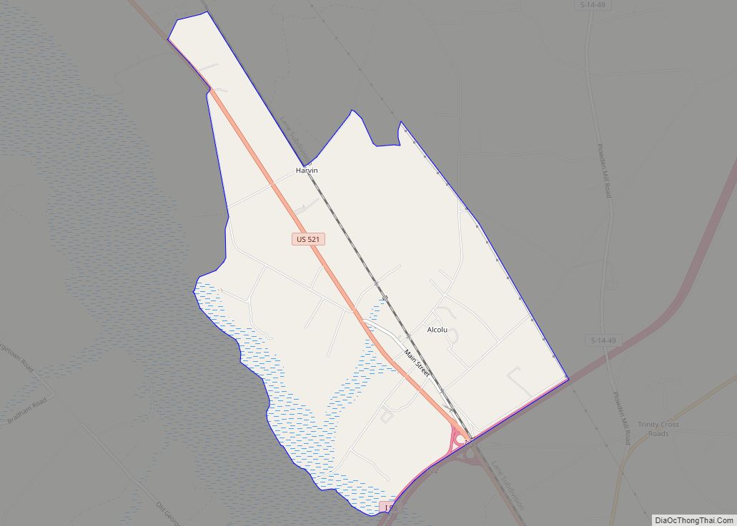
Alcolu is an unincorporated community and census-designated place (CDP) in Clarendon County, South Carolina, United States. As of the 2010 census, its population was 429. Alcolu has a post office with ZIP code 29001, which opened on August 17, 1888. It developed as a lumber and mill town. Alcolu CDP overview: Name: Alcolu CDP LSAD … Read more

Map of Aiken city

Map of Aiken city

Aiken is the largest city in, and the county seat of, Aiken County, in western South Carolina. It is one of the two largest cities of the Central Savannah River Area. Founded in 1835, Aiken was named after William Aiken, the president of the South Carolina Railroad. It became part of Aiken County when the … Read more

Map of Abbeville city, South Carolina

Map of Abbeville city, South Carolina

Abbeville is a city and county seat of Abbeville County, in the U.S. state of South Carolina. It is located 86 miles (138 km) west of Columbia and 45 miles (72 km) south of Greenville. Its population was 5,237 at the 2010 census. Settled by French Huguenot settlers, it was named, along with the county, for the … Read more

Map of Barnwell city

Map of Barnwell city

Barnwell is a city in and county seat of Barnwell County, South Carolina, United States, located along U.S. Route 278. The population was 4,750 at the 2010 census. Barnwell city overview: Name: Barnwell city LSAD Code: 25 LSAD Description: city (suffix) State: South Carolina County: Barnwell County Elevation: 217 ft (66 m) Total Area: 7.99 sq mi (20.70 km²) Land … Read more

Map of Bamberg town

Map of Bamberg town

Bamberg is a city in and the county seat of Bamberg County, South Carolina, United States. The population was 3,607 at the 2010 census. Bamberg town overview: Name: Bamberg town LSAD Code: 43 LSAD Description: town (suffix) State: South Carolina County: Bamberg County Elevation: 164 ft (50 m) Total Area: 3.60 sq mi (9.31 km²) Land Area: 3.58 sq mi (9.26 km²) Water … Read more

Map of Aynor town

Map of Aynor town

Aynor is a small town in Horry County, South Carolina, United States, south of Galivants Ferry. The population was 560 at the 2010 census and estimated in 2018 to be 934. Aynor High School consistently ranks as one of the best schools in Horry County and South Carolina. Aynor town overview: Name: Aynor town LSAD … Read more

Map of Awendaw town

Map of Awendaw town

Awendaw is a small fishing town in Charleston County, South Carolina, United States. The population was 1,294 at the 2010 census. Awendaw is part of the Charleston, South Carolina metropolitan area. Awendaw town overview: Name: Awendaw town LSAD Code: 43 LSAD Description: town (suffix) State: South Carolina County: Charleston County Elevation: 20 ft (6 m) Total Area: … Read more

Map of Atlantic Beach town, South Carolina

Map of Atlantic Beach town, South Carolina

Atlantic Beach is a town in Horry County, South Carolina, United States, part of the Grand Strand tourist region. The population was 334 at the 2010 census. Most of the land around the town is annexed into the city of North Myrtle Beach. Atlantic Beach town overview: Name: Atlantic Beach town LSAD Code: 43 LSAD … Read more

Map of Bennettsville city

Map of Bennettsville city

Bennettsville is a city located in the U.S. state of South Carolina on the Great Pee Dee River. As the county seat of Marlboro County, Bennettsville is noted for its historic homes and buildings from the 19th and early 20th centuries—including the Bennettsville Historic District which is listed on the National Register of Historic Places. … Read more

Map of Belvedere CDP, South Carolina

Map of Belvedere CDP, South Carolina

Belvedere is a census-designated place (CDP) and suburb of North Augusta in Aiken County, South Carolina, United States. It is part of the Augusta, Georgia metropolitan area. The population was 5,792 at the 2010 census. Belvedere (from Italian, meaning “beautiful sight”) was so named for its scenic river views over the Savannah River. Belvedere CDP … Read more

Map of Belton city, South Carolina

Map of Belton city, South Carolina

Belton is a city in eastern Anderson County, South Carolina, United States. The population was 4,134 at the 2010 census. Belton city overview: Name: Belton city LSAD Code: 25 LSAD Description: city (suffix) State: South Carolina County: Anderson County Elevation: 883 ft (269 m) Total Area: 3.79 sq mi (9.80 km²) Land Area: 3.78 sq mi (9.79 km²) Water Area: 0.01 sq mi (0.02 km²) Total … Read more

Map of Beaufort city, South Carolina

Map of Beaufort city, South Carolina

Beaufort (/ˈbjuːfərt/ BEW-fert, different from that of Beaufort, North Carolina) is a city in and the county seat of Beaufort County, South Carolina, United States. Chartered in 1711, it is the second-oldest city in South Carolina, behind Charleston. A city rich in history, culture, southern hospitality, and a seaside charm, Beaufort is affectionally known as … Read more