Map of Harrogate city

Map of Harrogate city

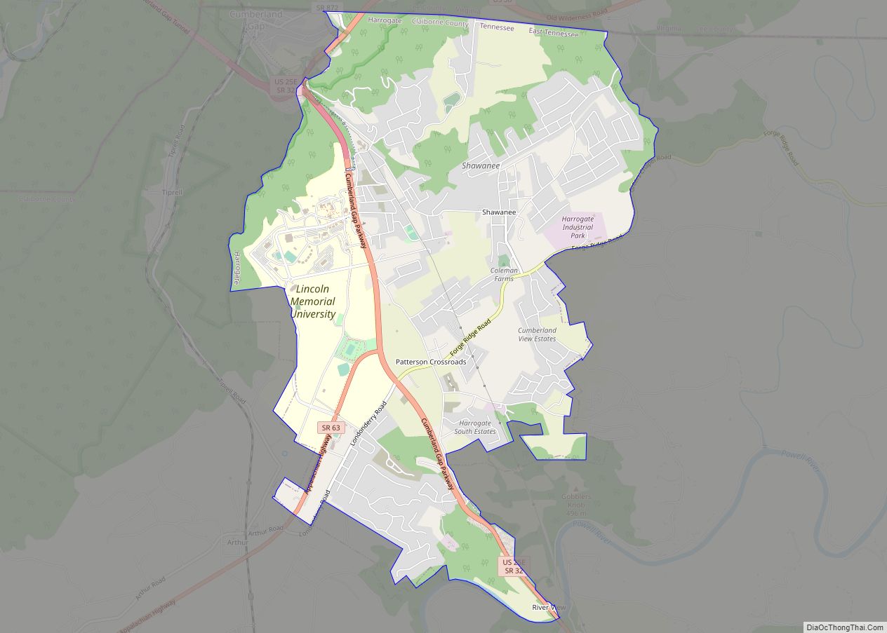
Harrogate is the largest city in Claiborne County, Tennessee, United States. It is adjacent to Cumberland Gap National Historical Park. The community has been known as “Harrogate” since the 19th century, but did not incorporate by that name until 1993. As of the 2010 census, its population was 4,389. It is considered a college town … Read more

Map of Harrison CDP, Tennessee

Map of Harrison CDP, Tennessee

Harrison is a census-designated place (CDP) in Hamilton County, Tennessee, United States. The population was 7,902 at the 2020 census. It is part of the Chattanooga metropolitan area. Harrison Bay State Park, the Hamilton County Landfill, Bear Trace Golf Course, a course designed by Jack Nicklaus, and Skull Island, a recreational area owned by TVA, … Read more

Map of Harriman city, Tennessee

Map of Harriman city, Tennessee

Harriman is a city located primarily in Roane County, Tennessee, with a small extension into Morgan County. The population of Harriman was 5,892 at the time of the 2020 census. Harriman is included in the Knoxville, Tennessee Metropolitan Statistical Area. Harriman city overview: Name: Harriman city LSAD Code: 25 LSAD Description: city (suffix) State: Tennessee … Read more

Map of Halls town

Map of Halls town

Halls is a town in Lauderdale County, Tennessee, United States. The population was 2,255 at the 2010 census. The town was founded in 1882 as a railroad station stop. It is named after Hansford R. Hall, one of the founders. Among the early business ventures were sawmills and cotton gins, founded in the 1880s to … Read more

Map of Guys town

Map of Guys town

Guys is a town in McNairy County, Tennessee. The population was 466 at the 2010 census. Guys town overview: Name: Guys town LSAD Code: 43 LSAD Description: town (suffix) State: Tennessee County: McNairy County Elevation: 443 ft (135 m) Total Area: 11.42 sq mi (29.57 km²) Land Area: 11.39 sq mi (29.50 km²) Water Area: 0.03 sq mi (0.07 km²) Total Population: 414 Population Density: 36.35/sq mi … Read more

Map of Gruetli-Laager city

Map of Gruetli-Laager city

Gruetli-Laager (/ˈɡruːtli ˈlɑːɡər/ GROOT-lee LAH-gər) is a city in Grundy County, Tennessee, United States. The population was 1,813 at the 2010 census. As its name implies, Gruetli-Laager consists of two communities— Gruetli and Laager— incorporated as a single city. Gruetli-Laager city overview: Name: Gruetli-Laager city LSAD Code: 25 LSAD Description: city (suffix) State: Tennessee County: … Read more

Map of Grimsley CDP

Map of Grimsley CDP

Grimsley is an unincorporated community and census-designated place (CDP) in Fentress County, Tennessee, United States. Its population was 1,167 as of the 2010 census. Its ZIP code is 38565. Grimsley CDP overview: Name: Grimsley CDP LSAD Code: 57 LSAD Description: CDP (suffix) State: Tennessee County: Fentress County Elevation: 1,749 ft (533 m) Total Area: 10.89 sq mi (28.20 km²) Land … Read more

Map of Greenfield city, Tennessee

Map of Greenfield city, Tennessee

Greenfield is a city in southwestern Weakley County, Tennessee, United States. The population was 2,182 at the 2010 census and 2,078 in 2018. Greenfield city overview: Name: Greenfield city LSAD Code: 25 LSAD Description: city (suffix) State: Tennessee County: Weakley County Elevation: 433 ft (132 m) Total Area: 3.50 sq mi (9.05 km²) Land Area: 3.48 sq mi (9.01 km²) Water Area: 0.02 sq mi … Read more

Map of Greeneville town

Map of Greeneville town

Greeneville is a town in and the county seat of Greene County, Tennessee, United States. The population as of the 2020 census was 15,479. The town was named in honor of Revolutionary War hero Nathanael Greene, and it is the second oldest town in Tennessee. It is the only town with this spelling in the … Read more

Map of Hendersonville city, Tennessee

Map of Hendersonville city, Tennessee

Hendersonville is the largest city in Sumner County, Tennessee, on Old Hickory Lake. The population was 61,753 at the 2020 census. Hendersonville is the fourth-largest city in the Nashville metropolitan area after Nashville, Murfreesboro, and Franklin and the 10th largest in Tennessee. Hendersonville is located 18 miles northeast of downtown Nashville. The city was settled … Read more

Map of Henderson city, Tennessee

Map of Henderson city, Tennessee

Henderson is a city in and the county seat of Chester County, Tennessee, United States. The population was 6,309 at the 2010 census, up from 5,670 at the 2000 census. Henderson city overview: Name: Henderson city LSAD Code: 25 LSAD Description: city (suffix) State: Tennessee County: Chester County Elevation: 446 ft (136 m) Total Area: 7.83 sq mi (20.29 km²) … Read more

Map of Helenwood CDP

Map of Helenwood CDP

Helenwood is an unincorporated community in Scott County, Tennessee, United States. The population was 846 at the 2000 census, when Helenwood was treated as an incorporated municipality. For the 2010 census, it was a census-designated place (CDP) with a population of 865. Helenwood CDP overview: Name: Helenwood CDP LSAD Code: 57 LSAD Description: CDP (suffix) … Read more