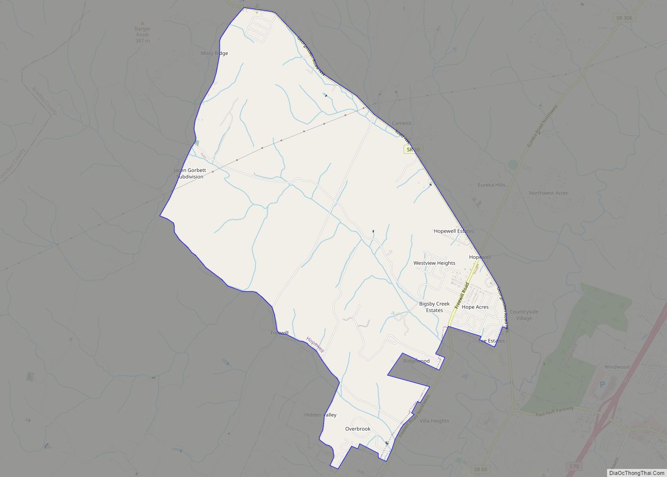
Hopewell is a census-designated place (CDP) and unincorporated community in Bradley County, Tennessee, United States. The population was 2,087 at the 2020 Census. It is included in the Cleveland, Tennessee Metropolitan Statistical Area.
| Name: | Hopewell CDP |
|---|---|
| LSAD Code: | 57 |
| LSAD Description: | CDP (suffix) |
| State: | Tennessee |
| County: | Bradley County |
| Elevation: | 728 ft (222 m) |
| Total Area: | 7.12 sq mi (18.43 km²) |
| Land Area: | 7.12 sq mi (18.43 km²) |
| Water Area: | 0.00 sq mi (0.00 km²) |
| Total Population: | 2,087 |
| Population Density: | 293.24/sq mi (113.22/km²) |
| FIPS code: | 4735880 |
| GNISfeature ID: | 1288284 |
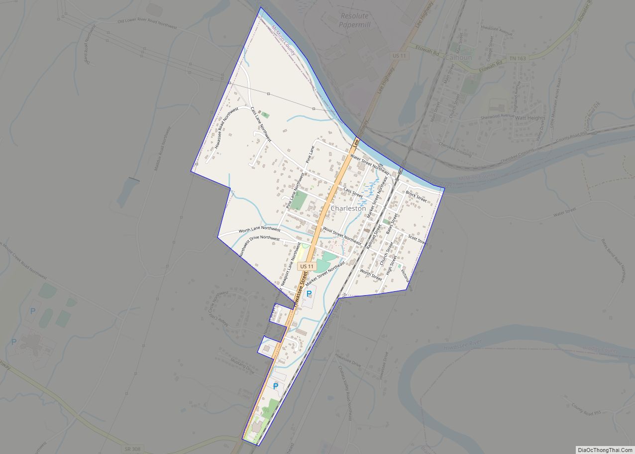
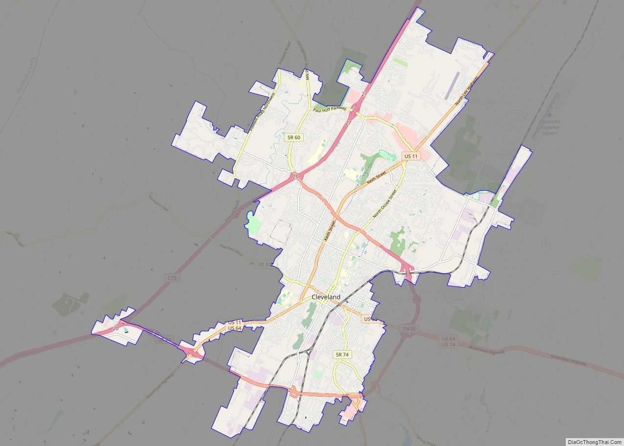
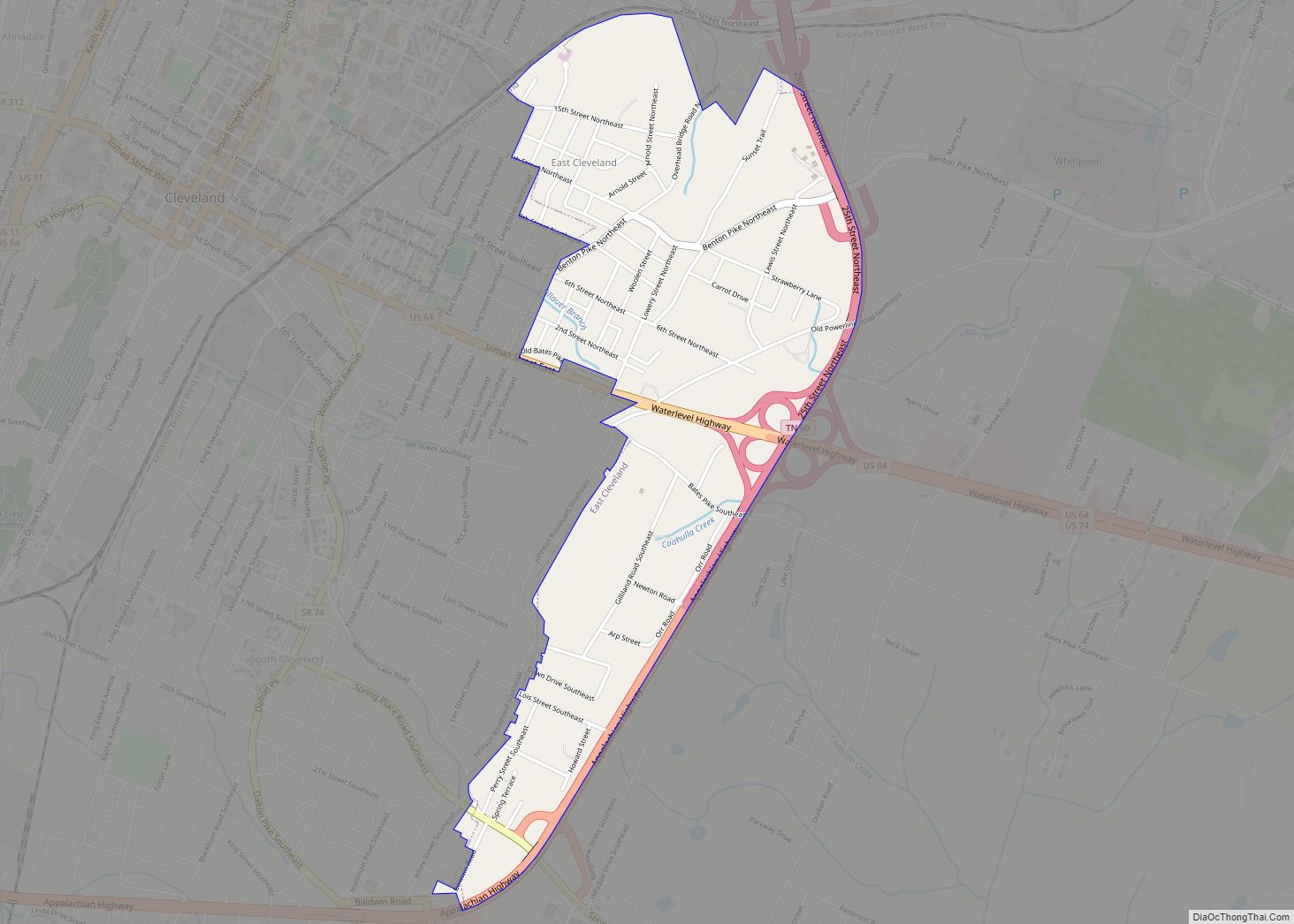
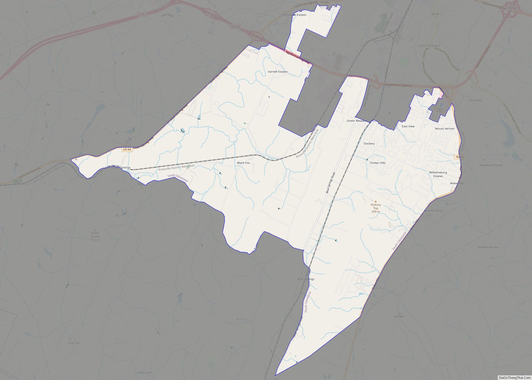
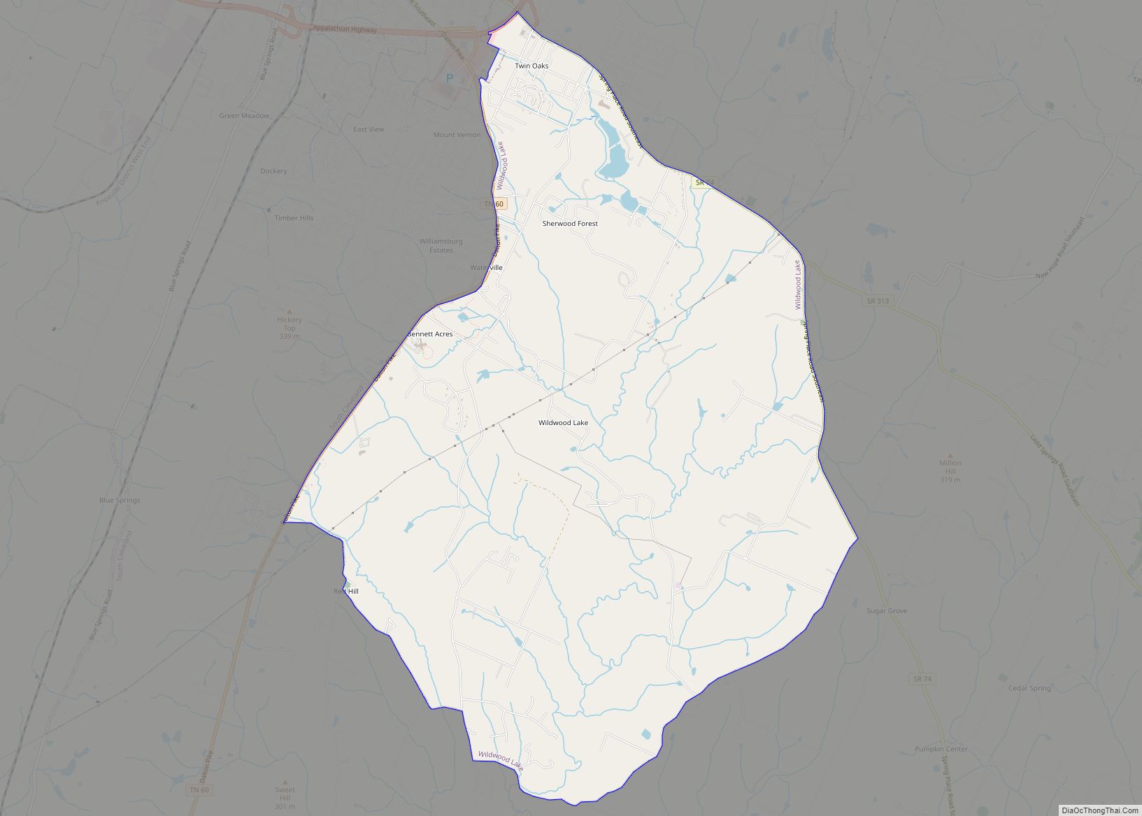
Online Interactive Map
Click on ![]() to view map in "full screen" mode.
to view map in "full screen" mode.
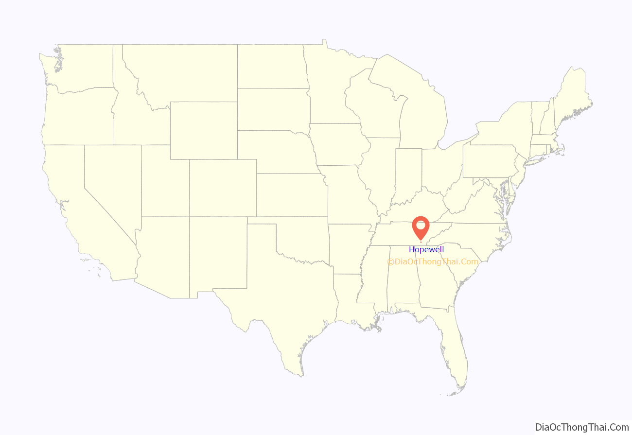
Hopewell location map. Where is Hopewell CDP?

History
The Hopewell Community was first settled by European Americans in the early 1820s when the area was still part of the Cherokee Nation, and has the distinction of being home to the first church and post office in Bradley County. The community reportedly received its name when the first church was built and someone said “I hope they do well.” Candies Creek (originally Candy’s Creek), which flows through the community, was originally called “Little Kiuka Creek” by the Cherokees, and was named for Henry Candy, a Cherokee who relocated his home to a location along the creek around 1817. The Candy’s Creek Mission was organized along the creek in the community in 1824 by Samuel Worcester and William Holland as a Christian mission to the Cherokees. Both were based at the Brainerd Mission in Chattanooga. A school was begun at the mission on February 2, 1825, and other nearby schools were established shortly thereafter. The first post office in Bradley County was established in the community in March 1825, with Holland named postmaster, but discontinued in April 1826. On September 25, 1825, Candy’s Creek Presbyterian Church was organized at the mission by Worcester, Holland and his wife Electra Hopkins, Thomas Stedman, and six Cherokees. This was reportedly the first church in Bradley County. The mission was closed in 1838 during the Cherokee removal. Notable Cherokees who were educated at the mission include Jesse Bushyhead, Dennis Bushyhead, and Stephen Foreman.
A Tennessee Historical Commission historical marker, commemorating the mission station was installed along SR 60 in 1959 near the location of the mission, and unknowingly disappeared, reportedly in the late 1980s when Paul Huff Parkway was constructed.
Hopewell Road Map
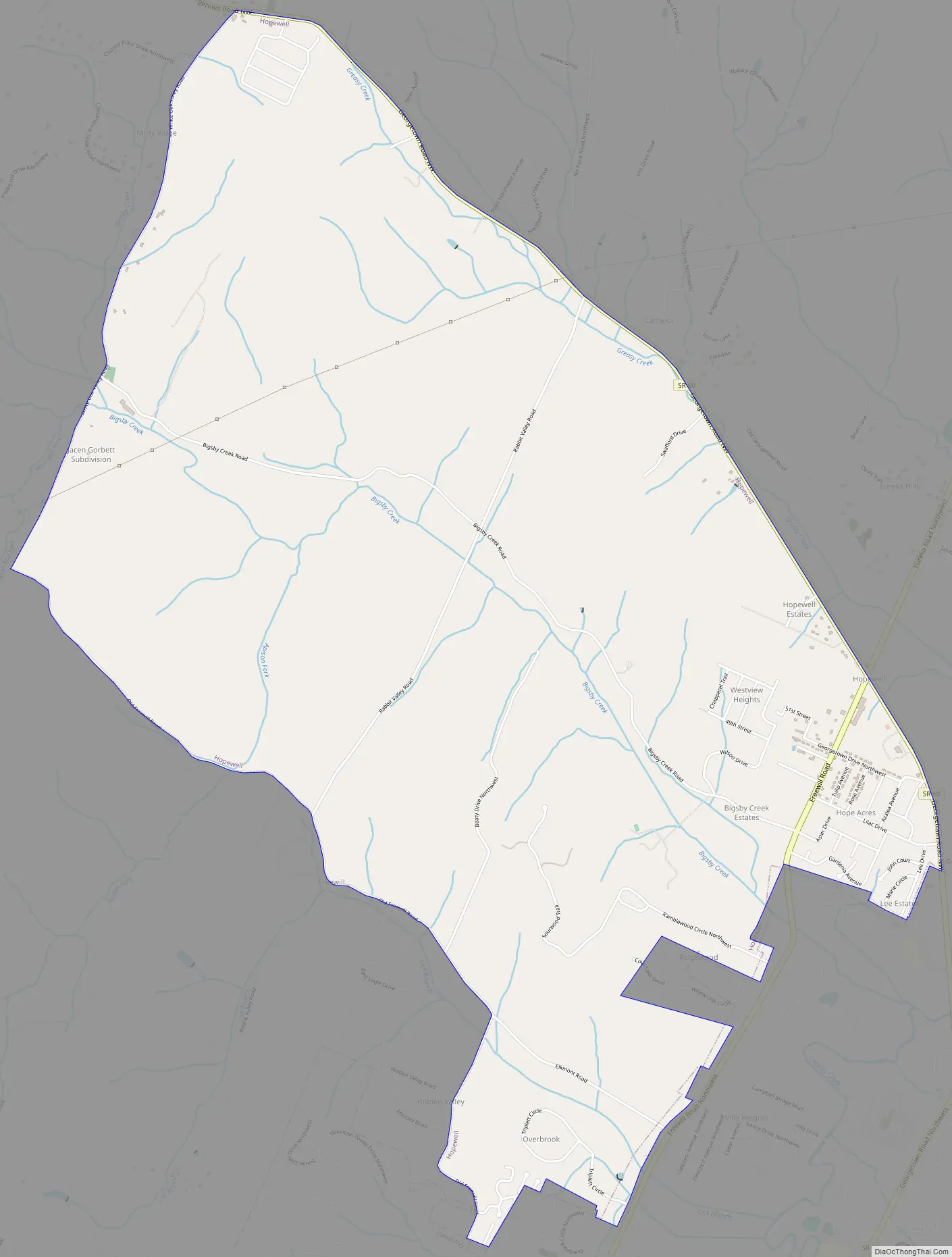
Hopewell city Satellite Map

Geography
Hopewell is located at 35°14′6″N 84°54′19″W / 35.23500°N 84.90528°W / 35.23500; -84.90528 (35.234923, -84.905227).
According to the United States Census Bureau, the CDP has a total area of 7.1 square miles (18 km), all land. It sits at an elevation of approximately 722 feet (220 m) above sea level, one of the lowest elevations in Bradley County.
Hopewell is centered on the intersection of State Route 60 (SR 60, Georgetown Road) with the southern terminus of SR 306 (Eureka Road) and northern terminus of Freewill Road. It is about 6 miles (9.7 km) northwest of downtown Cleveland, and 5 miles (8.0 km) southeast of Georgetown. Due to massive growth to the north and northwest, the city limits of Cleveland now reach less than one mile (1.6 km) from the center of the community.
See also
Map of Tennessee State and its subdivision:- Anderson
- Bedford
- Benton
- Bledsoe
- Blount
- Bradley
- Campbell
- Cannon
- Carroll
- Carter
- Cheatham
- Chester
- Claiborne
- Clay
- Cocke
- Coffee
- Crockett
- Cumberland
- Davidson
- Decatur
- DeKalb
- Dickson
- Dyer
- Fayette
- Fentress
- Franklin
- Gibson
- Giles
- Grainger
- Greene
- Grundy
- Hamblen
- Hamilton
- Hancock
- Hardeman
- Hardin
- Hawkins
- Haywood
- Henderson
- Henry
- Hickman
- Houston
- Humphreys
- Jackson
- Jefferson
- Johnson
- Knox
- Lake
- Lauderdale
- Lawrence
- Lewis
- Lincoln
- Loudon
- Macon
- Madison
- Marion
- Marshall
- Maury
- McMinn
- McNairy
- Meigs
- Monroe
- Montgomery
- Moore
- Morgan
- Obion
- Overton
- Perry
- Pickett
- Polk
- Putnam
- Rhea
- Roane
- Robertson
- Rutherford
- Scott
- Sequatchie
- Sevier
- Shelby
- Smith
- Stewart
- Sullivan
- Sumner
- Tipton
- Trousdale
- Unicoi
- Union
- Van Buren
- Warren
- Washington
- Wayne
- Weakley
- White
- Williamson
- Wilson
- Alabama
- Alaska
- Arizona
- Arkansas
- California
- Colorado
- Connecticut
- Delaware
- District of Columbia
- Florida
- Georgia
- Hawaii
- Idaho
- Illinois
- Indiana
- Iowa
- Kansas
- Kentucky
- Louisiana
- Maine
- Maryland
- Massachusetts
- Michigan
- Minnesota
- Mississippi
- Missouri
- Montana
- Nebraska
- Nevada
- New Hampshire
- New Jersey
- New Mexico
- New York
- North Carolina
- North Dakota
- Ohio
- Oklahoma
- Oregon
- Pennsylvania
- Rhode Island
- South Carolina
- South Dakota
- Tennessee
- Texas
- Utah
- Vermont
- Virginia
- Washington
- West Virginia
- Wisconsin
- Wyoming