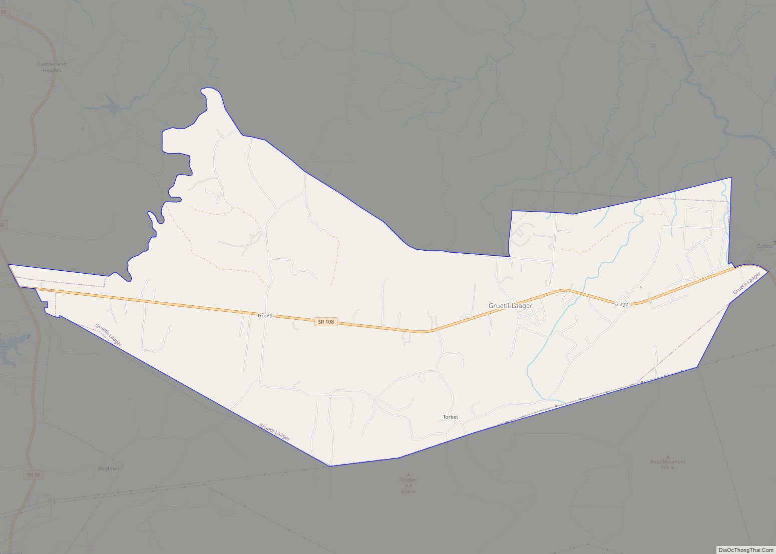
Gruetli-Laager (/ˈɡruːtli ˈlɑːɡər/ GROOT-lee LAH-gər) is a city in Grundy County, Tennessee, United States. The population was 1,813 at the 2010 census. As its name implies, Gruetli-Laager consists of two communities— Gruetli and Laager— incorporated as a single city.
| Name: | Gruetli-Laager city |
|---|---|
| LSAD Code: | 25 |
| LSAD Description: | city (suffix) |
| State: | Tennessee |
| County: | Grundy County |
| Incorporated: | 1980 |
| Elevation: | 1,919 ft (585 m) |
| Total Area: | 12.68 sq mi (32.83 km²) |
| Land Area: | 12.68 sq mi (32.83 km²) |
| Water Area: | 0.00 sq mi (0.00 km²) |
| Total Population: | 1,742 |
| Population Density: | 137.43/sq mi (53.06/km²) |
| ZIP code: | 37339 |
| Area code: | 931 |
| FIPS code: | 4731490 |
| GNISfeature ID: | 1648587 |
Online Interactive Map
Click on ![]() to view map in "full screen" mode.
to view map in "full screen" mode.
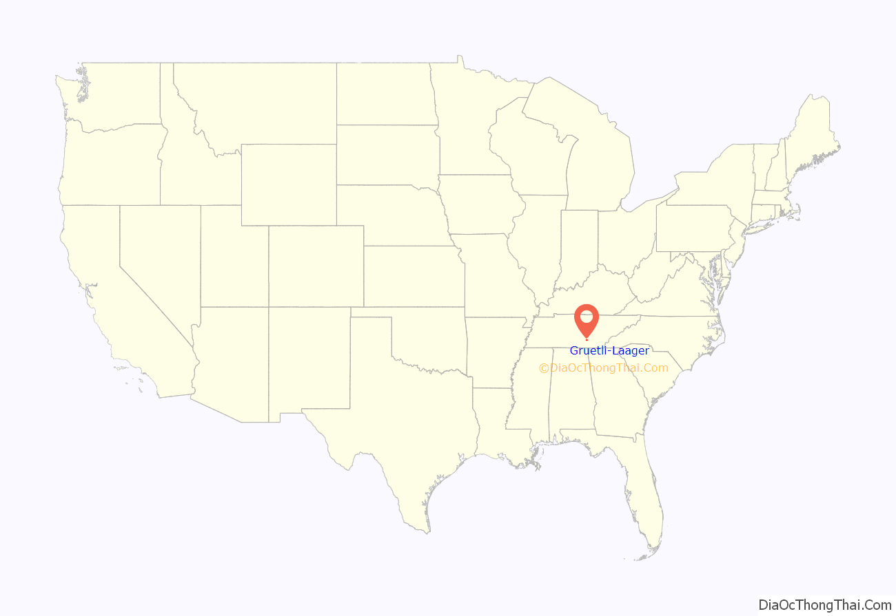
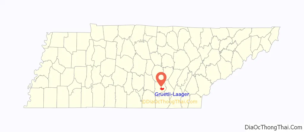
Gruetli-Laager location map. Where is Gruetli-Laager city?
History
Gruetli was founded by German-speaking Swiss immigrants in 1869. The town was part of a greater initiative— conducted by an organization known as the Tennessee Kolonisation Gesellschaft— to establish Swiss colonies atop the Cumberland Plateau in Tennessee. Gruetli was probably named after a commune in the Swiss canton of Glarus. Peter Staub, a member of Knoxville’s thriving Swiss community, helped purchase the initial tract of land for Gruetli. The land was advertised in Switzerland, where the opportunity for a new start appealed to many families struggling with difficult economic conditions in Europe.
Although over 100 Swiss families moved to the Gruetli area in the 1870s, many were disappointed by the land’s poor quality and relative isolation, and thus relocated to nearby cities. Nevertheless, by 1880, Grundy County had the largest Swiss population of any county in Tennessee. Prominent early settlers at Gruetli included Christian Marugg, who operated an inn along the stagecoach road between Chattanooga and McMinnville, and Melchior Thoni, Jr. (1849–1926), a woodcarver whose work was displayed in the old Governor’s Mansion and the Christ Church in Nashville.
Throughout the early 1900s, railroads were constructed in the hills east of Gruetli to accommodate various coal mining operations in the area. Laager was established as a railroad stopover (initially known as “Henley’s Switch”) in 1918. Gruetli and Laager merged and incorporated in 1980.
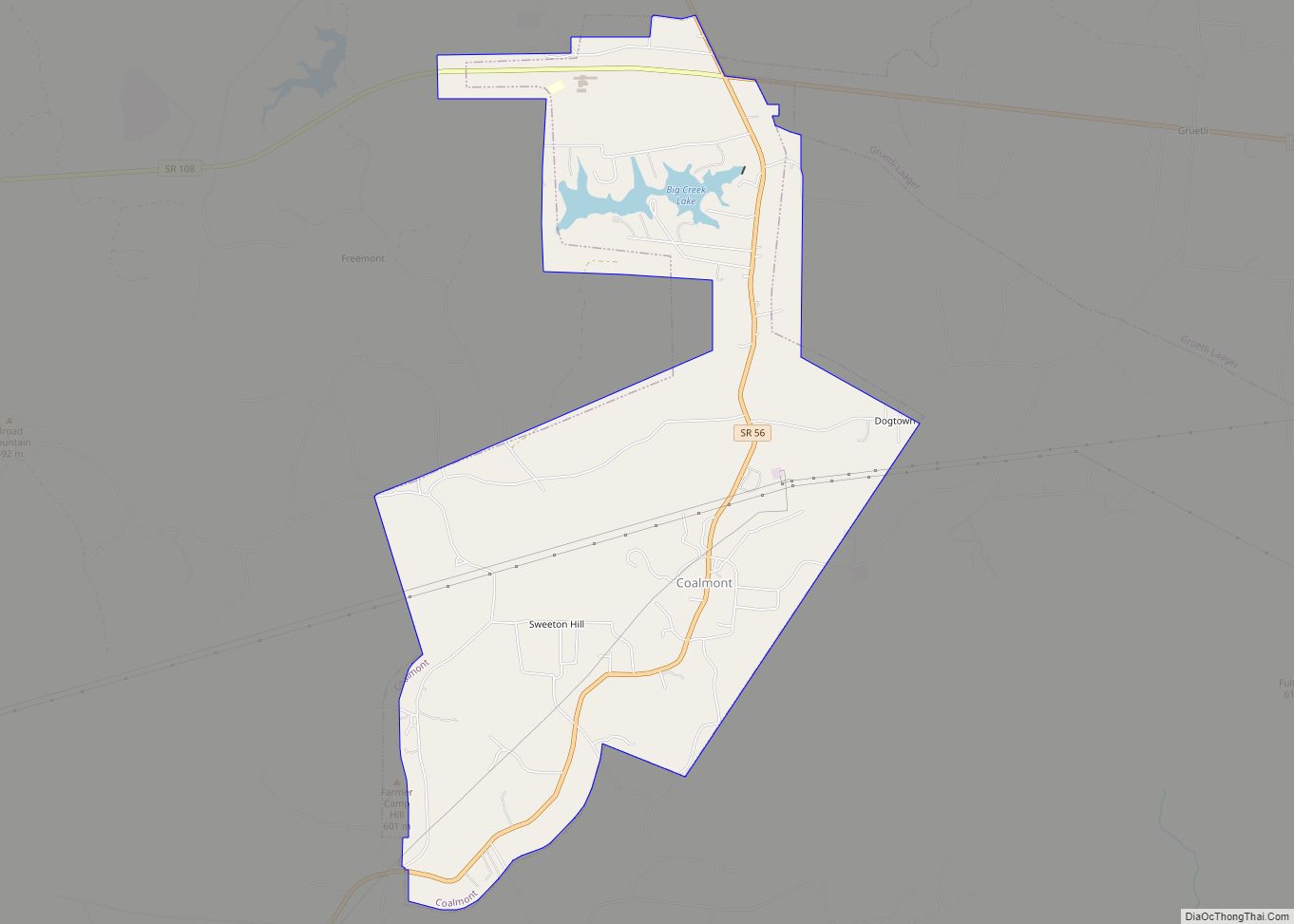
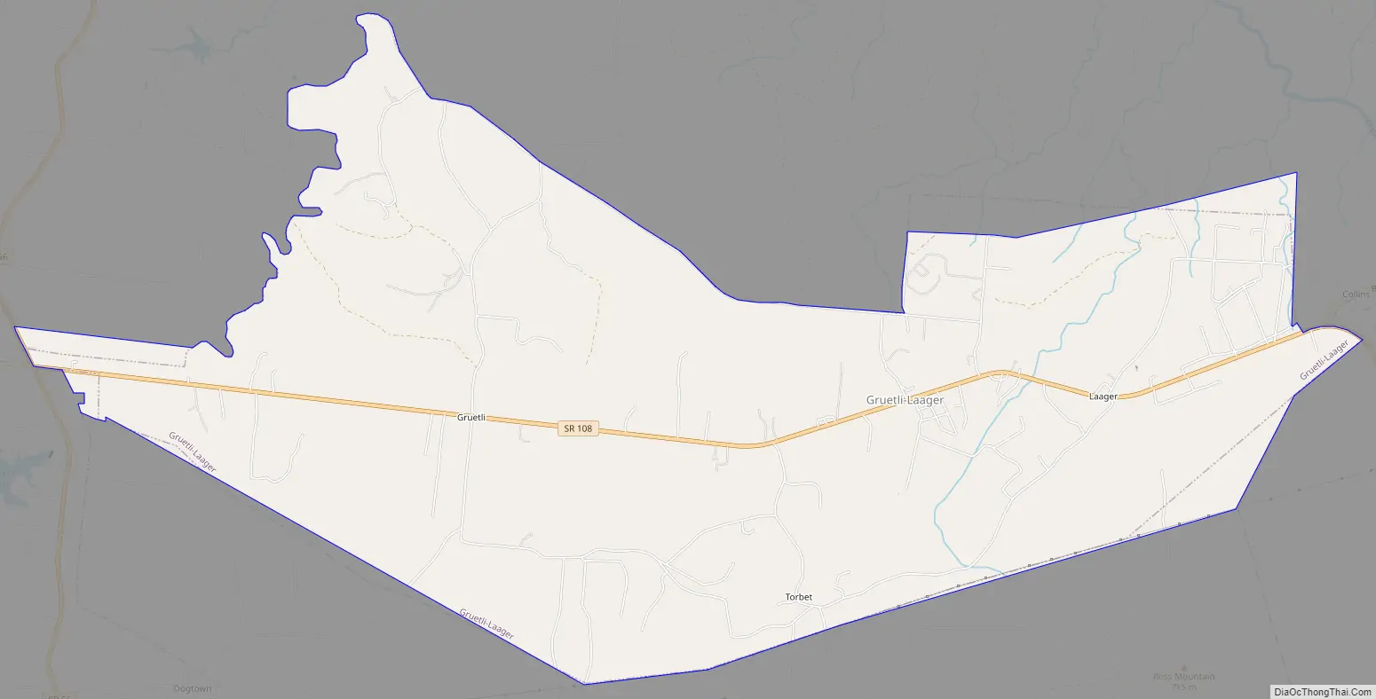
Gruetli-Laager Road Map
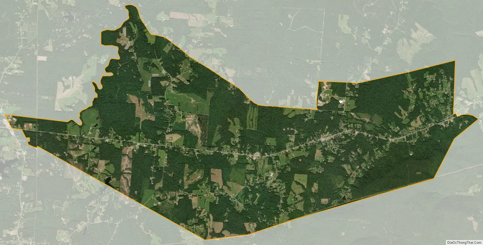
Gruetli-Laager city Satellite Map
Geography
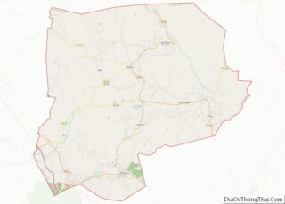
Gruetli-Laager is located southeast of the center of Grundy County at 35°22′23″N 85°37′25″W / 35.37306°N 85.62361°W / 35.37306; -85.62361 (35.373152, -85.623617). The city is situated atop the southern Cumberland Plateau, roughly halfway between the plateau’s Sequatchie Valley escarpment to the east and its Highland Rim escarpment to the west. Just north of the city, the Collins River and its upper watershed slice a gorge known as “Savage Gulf” as the river descends the plateau en route to its confluence with the Caney Fork at Rock Island.
Gruetli-Laager stretches for several miles along Tennessee State Route 108 (SR 108). The highway connects the area with the Sequatchie Valley and Chattanooga area to the southeast. Just west of Gruetli-Laager, SR 108 intersects SR 56, which connects the area to Monteagle and Interstate 24 to the southwest and McMinnville to the northwest.
According to the United States Census Bureau, the city has a total area of 12.5 square miles (32.5 km), all land.
See also
Map of Tennessee State and its subdivision:- Anderson
- Bedford
- Benton
- Bledsoe
- Blount
- Bradley
- Campbell
- Cannon
- Carroll
- Carter
- Cheatham
- Chester
- Claiborne
- Clay
- Cocke
- Coffee
- Crockett
- Cumberland
- Davidson
- Decatur
- DeKalb
- Dickson
- Dyer
- Fayette
- Fentress
- Franklin
- Gibson
- Giles
- Grainger
- Greene
- Grundy
- Hamblen
- Hamilton
- Hancock
- Hardeman
- Hardin
- Hawkins
- Haywood
- Henderson
- Henry
- Hickman
- Houston
- Humphreys
- Jackson
- Jefferson
- Johnson
- Knox
- Lake
- Lauderdale
- Lawrence
- Lewis
- Lincoln
- Loudon
- Macon
- Madison
- Marion
- Marshall
- Maury
- McMinn
- McNairy
- Meigs
- Monroe
- Montgomery
- Moore
- Morgan
- Obion
- Overton
- Perry
- Pickett
- Polk
- Putnam
- Rhea
- Roane
- Robertson
- Rutherford
- Scott
- Sequatchie
- Sevier
- Shelby
- Smith
- Stewart
- Sullivan
- Sumner
- Tipton
- Trousdale
- Unicoi
- Union
- Van Buren
- Warren
- Washington
- Wayne
- Weakley
- White
- Williamson
- Wilson
- Alabama
- Alaska
- Arizona
- Arkansas
- California
- Colorado
- Connecticut
- Delaware
- District of Columbia
- Florida
- Georgia
- Hawaii
- Idaho
- Illinois
- Indiana
- Iowa
- Kansas
- Kentucky
- Louisiana
- Maine
- Maryland
- Massachusetts
- Michigan
- Minnesota
- Mississippi
- Missouri
- Montana
- Nebraska
- Nevada
- New Hampshire
- New Jersey
- New Mexico
- New York
- North Carolina
- North Dakota
- Ohio
- Oklahoma
- Oregon
- Pennsylvania
- Rhode Island
- South Carolina
- South Dakota
- Tennessee
- Texas
- Utah
- Vermont
- Virginia
- Washington
- West Virginia
- Wisconsin
- Wyoming