Hohenwald is a city in and the county seat of Lewis County, Tennessee. The population was 3,757 at the 2010 census. The name “Hohenwald” derives from German meaning “High Forest”.
Meriwether Lewis, of the Lewis and Clark Expedition, died and was buried seven miles east of the town at Grinder’s Stand in 1809. Rod Brasfield, an old Grand Ole Opry comedy star, made his home in Hohenwald and referred to it in his routines. David Sisco, who in 1974 placed ninth in points in the Winston Cup Series, is a native of Hohenwald, as was author William Gay, whose books include The Long Home, Provinces of Night, I Hate to See That Evening Sun Go Down, and Twilight.
The third largest animal trophy mount collection in North America is located at the Lewis County Museum of Local and Natural History in downtown Hohenwald. Hohenwald is also the home of the Elephant Sanctuary, the largest natural-habitat sanctuary for elephants in the United States. Hohenwald is one of only a few Mid-American towns that have met the Transition Towns criteria. The Buffalo Valley addiction extended care community is located there providing treatment and long-term housing for recovering persons. The Lewis County Courthouse and Hohenwald Rail Depot are listed on the National Register of Historic Places.
| Name: | Hohenwald city |
|---|---|
| LSAD Code: | 25 |
| LSAD Description: | city (suffix) |
| State: | Tennessee |
| County: | Lewis County |
| Elevation: | 978 ft (298 m) |
| Total Area: | 5.27 sq mi (13.64 km²) |
| Land Area: | 5.27 sq mi (13.64 km²) |
| Water Area: | 0.00 sq mi (0.00 km²) |
| Total Population: | 3,668 |
| Population Density: | 696.28/sq mi (268.84/km²) |
| ZIP code: | 38462 |
| Area code: | 931 |
| FIPS code: | 4735160 |
| GNISfeature ID: | 1307347 |
| Website: | hohenwald.com |
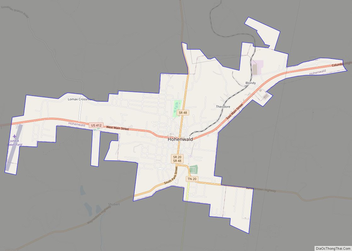
Online Interactive Map
Click on ![]() to view map in "full screen" mode.
to view map in "full screen" mode.
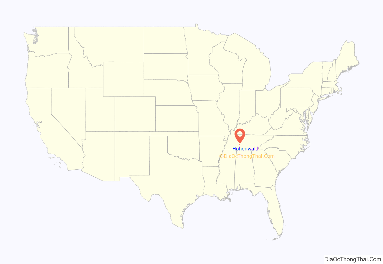
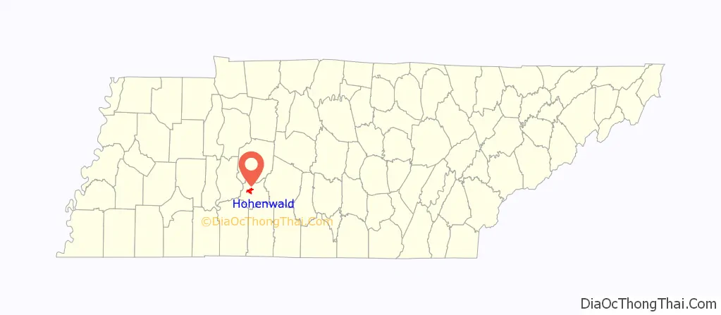
Hohenwald location map. Where is Hohenwald city?
History
The town was founded in 1878 and later merged with a town named “New Switzerland” to the south. New Switzerland was founded in 1894 by Swiss immigrants in conjunction with the Nashville, Chattanooga and St. Louis Railway.
On September 29, 1916 a mob took two men from the Hohenwald jail and shot them to death against trees on a nearby hill.
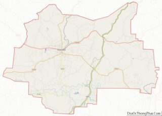
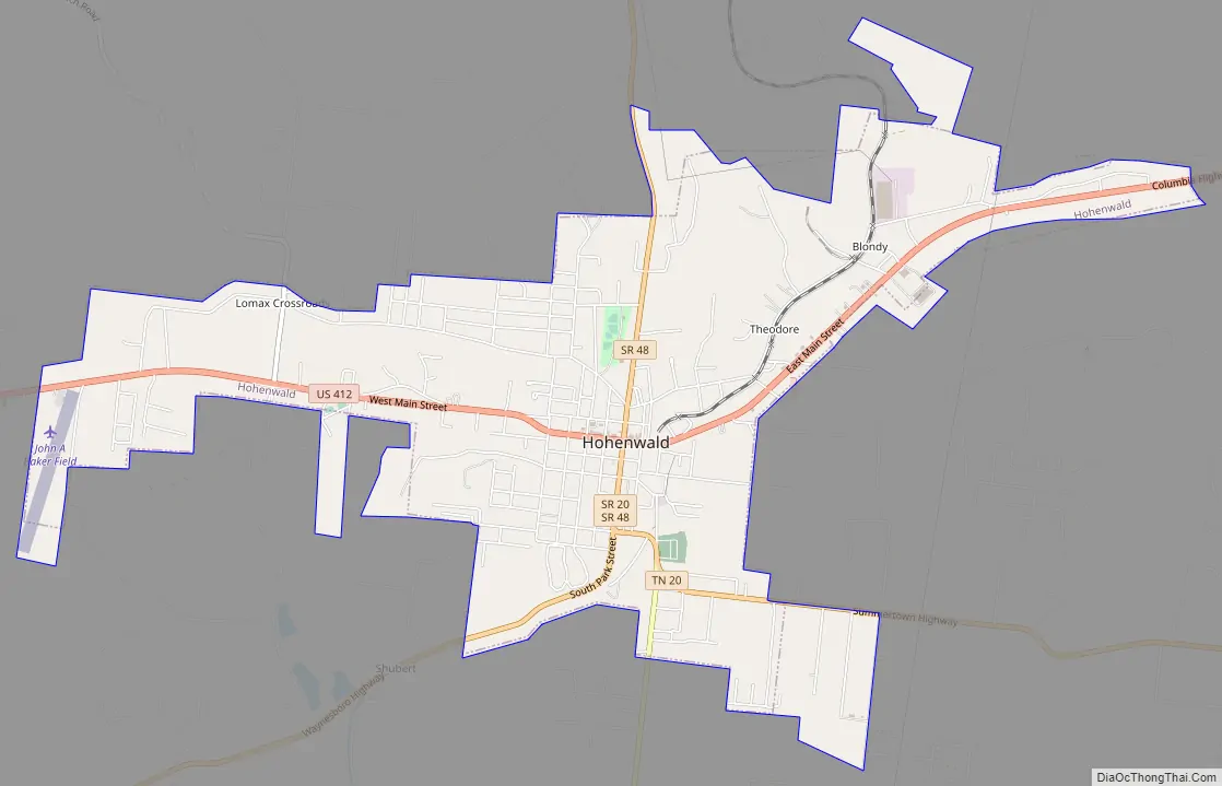
Hohenwald Road Map
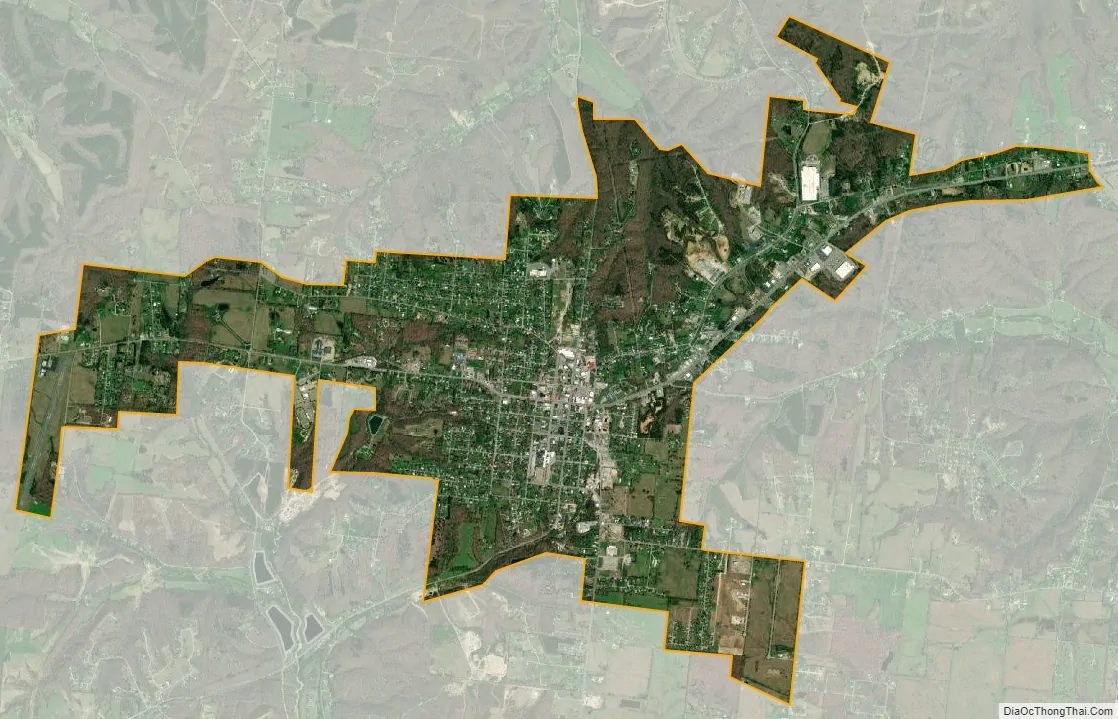
Hohenwald city Satellite Map
Geography
Hohenwald is located at 35°32′52″N 87°33′7″W / 35.54778°N 87.55194°W / 35.54778; -87.55194 (35.5479, -87.5520).
According to the United States Census Bureau, the city has a total area of 11.3 square kilometers (4.4 sq mi), all land.
Climate
See also
Map of Tennessee State and its subdivision:- Anderson
- Bedford
- Benton
- Bledsoe
- Blount
- Bradley
- Campbell
- Cannon
- Carroll
- Carter
- Cheatham
- Chester
- Claiborne
- Clay
- Cocke
- Coffee
- Crockett
- Cumberland
- Davidson
- Decatur
- DeKalb
- Dickson
- Dyer
- Fayette
- Fentress
- Franklin
- Gibson
- Giles
- Grainger
- Greene
- Grundy
- Hamblen
- Hamilton
- Hancock
- Hardeman
- Hardin
- Hawkins
- Haywood
- Henderson
- Henry
- Hickman
- Houston
- Humphreys
- Jackson
- Jefferson
- Johnson
- Knox
- Lake
- Lauderdale
- Lawrence
- Lewis
- Lincoln
- Loudon
- Macon
- Madison
- Marion
- Marshall
- Maury
- McMinn
- McNairy
- Meigs
- Monroe
- Montgomery
- Moore
- Morgan
- Obion
- Overton
- Perry
- Pickett
- Polk
- Putnam
- Rhea
- Roane
- Robertson
- Rutherford
- Scott
- Sequatchie
- Sevier
- Shelby
- Smith
- Stewart
- Sullivan
- Sumner
- Tipton
- Trousdale
- Unicoi
- Union
- Van Buren
- Warren
- Washington
- Wayne
- Weakley
- White
- Williamson
- Wilson
- Alabama
- Alaska
- Arizona
- Arkansas
- California
- Colorado
- Connecticut
- Delaware
- District of Columbia
- Florida
- Georgia
- Hawaii
- Idaho
- Illinois
- Indiana
- Iowa
- Kansas
- Kentucky
- Louisiana
- Maine
- Maryland
- Massachusetts
- Michigan
- Minnesota
- Mississippi
- Missouri
- Montana
- Nebraska
- Nevada
- New Hampshire
- New Jersey
- New Mexico
- New York
- North Carolina
- North Dakota
- Ohio
- Oklahoma
- Oregon
- Pennsylvania
- Rhode Island
- South Carolina
- South Dakota
- Tennessee
- Texas
- Utah
- Vermont
- Virginia
- Washington
- West Virginia
- Wisconsin
- Wyoming