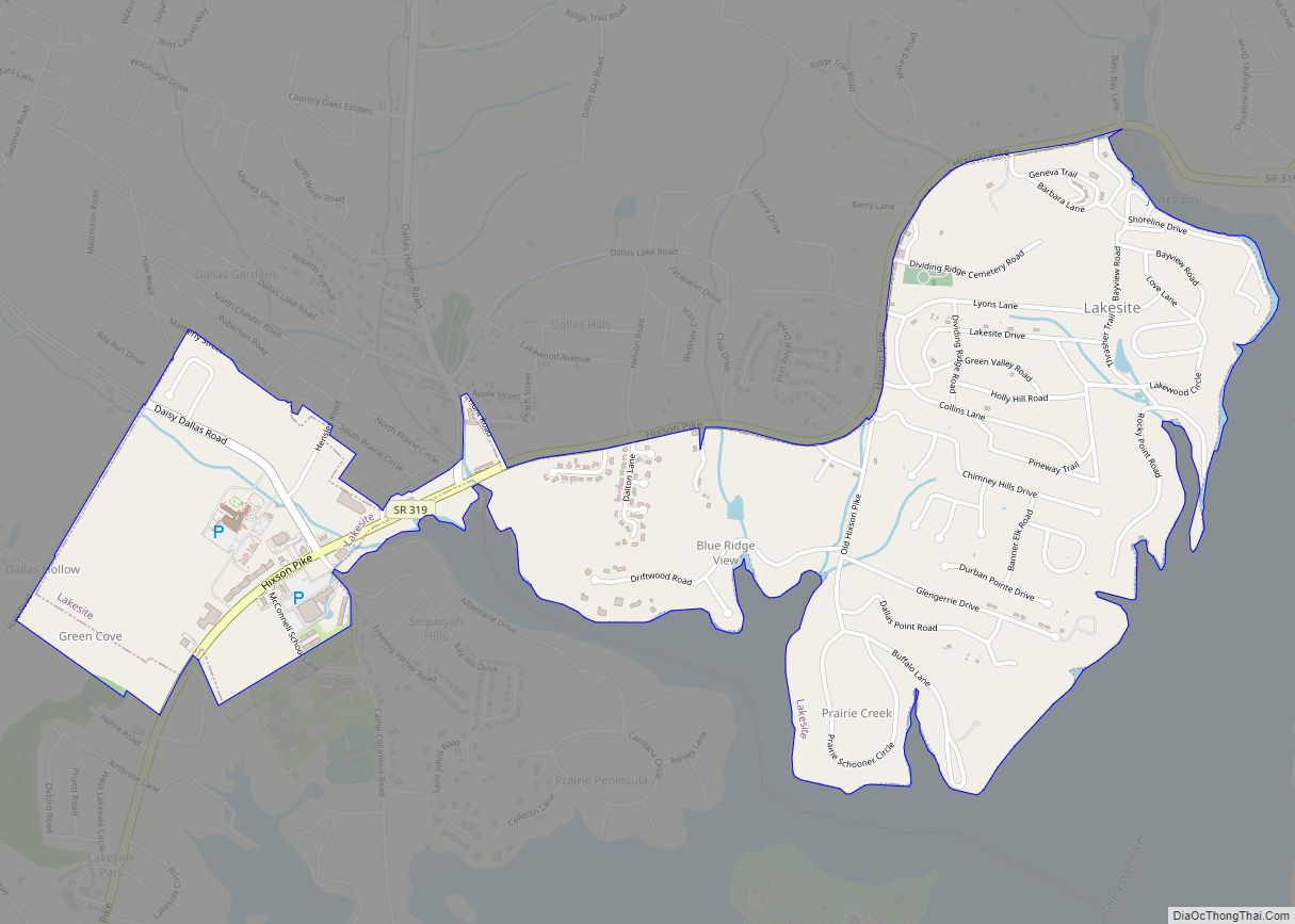
Lakesite is a city in Hamilton County, Tennessee, United States. The population was 1,856 at the 2020 census. It is a northern suburb of the Chattanooga, TN–GA Metropolitan Statistical Area, located 15 miles north of the city. Lakesite city overview: Name: Lakesite city LSAD Code: 25 LSAD Description: city (suffix) State: Tennessee County: Hamilton County ... Read more
Tennessee Cities and Places
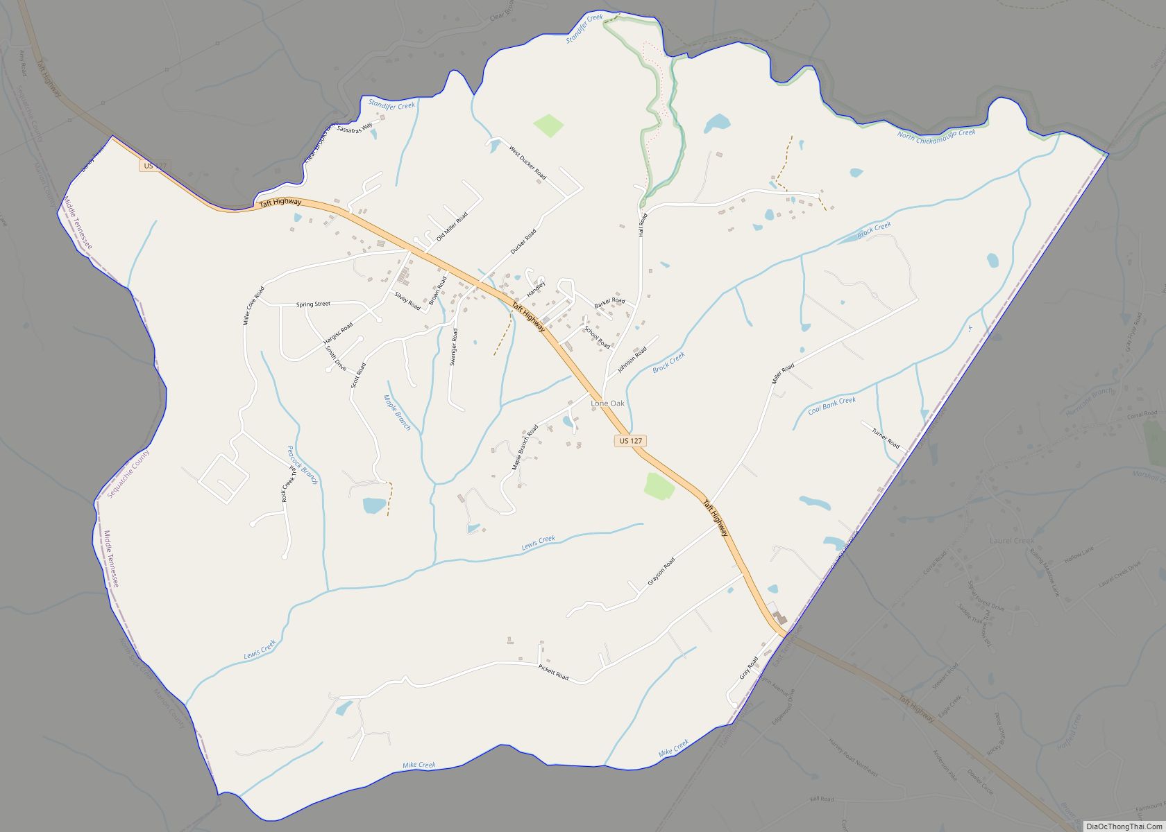
Lone Oak (also Browns Chapel or Top of the Mountain) is an unincorporated community and census-designated place (CDP) in southern Sequatchie County, Tennessee, United States. It lies along U.S. Route 127 south of the city of Dunlap, the county seat of Sequatchie County. Its elevation is 2,001 feet (610 m). As of the 2020 census, its ... Read more
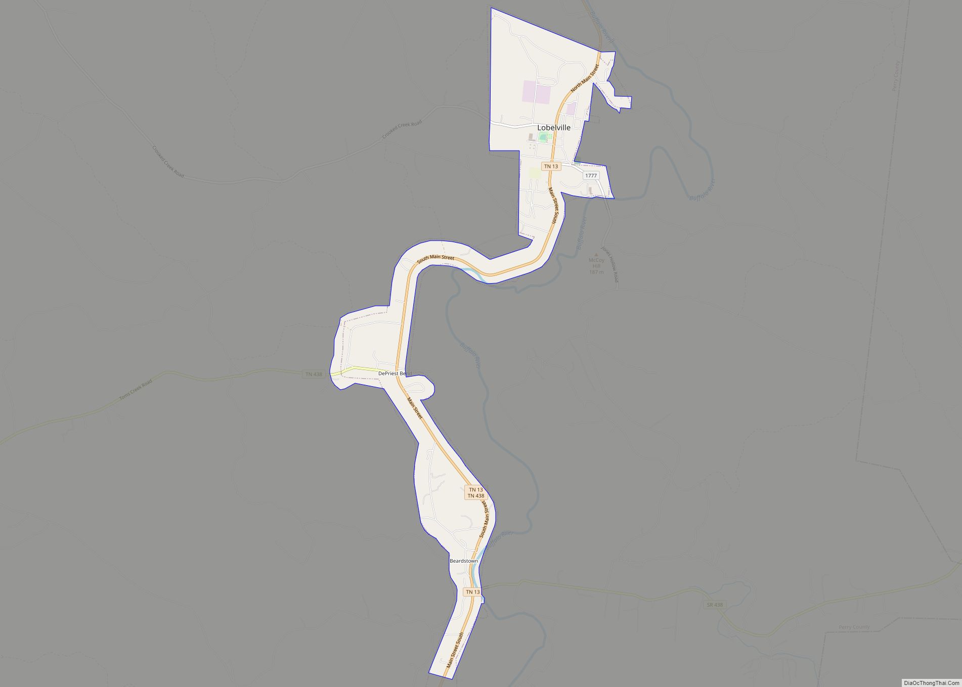
Lobelville is a city in Perry County, Tennessee, United States that was established as a trading post on the Buffalo River in 1854. The population was 897 at the 2010 census. Lobelville city overview: Name: Lobelville city LSAD Code: 25 LSAD Description: city (suffix) State: Tennessee County: Perry County Elevation: 502 ft (153 m) Total Area: 3.75 sq mi ... Read more
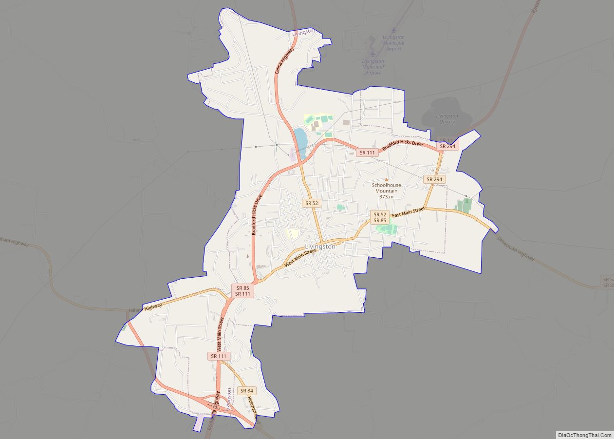
Livingston is a town in Overton County, Tennessee, United States, and serves as the county seat. The population was 3,905 at the 2020 census and 4,058 at the 2010 census. The current mayor, Curtis Hayes, began serving his mayoral position in September 2006. Livingston is part of the Cookeville, Tennessee Micropolitan Statistical Area. Livingston town ... Read more
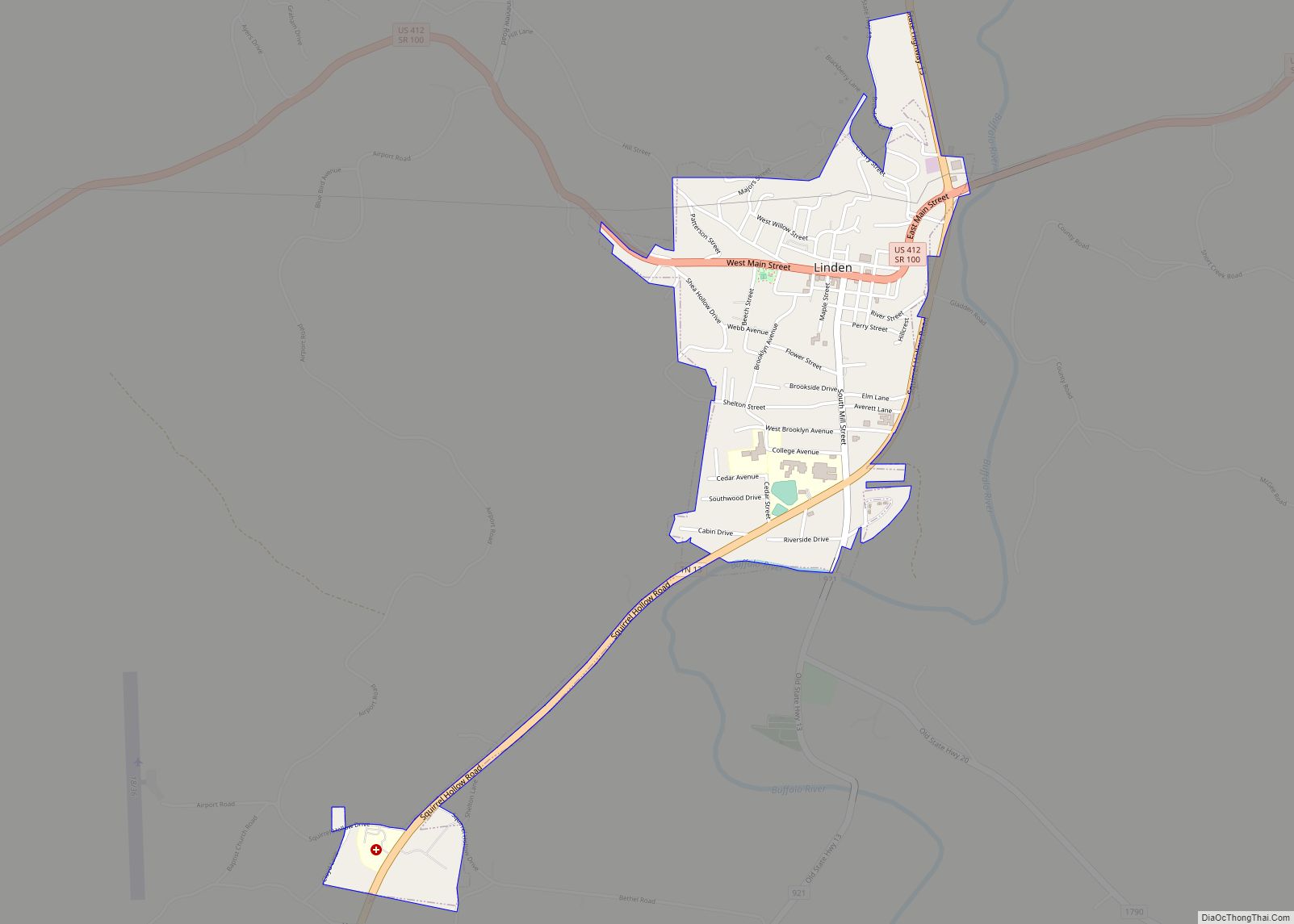
Linden is a town in and the county seat of Perry County, Tennessee, United States. The population was 1,015 at the 2000 census and 908 at the 2010 showing a loss of 107. Linden was officially incorporated in 1850. Linden is served by Perry County Airport, located 3.5 miles to the southwest. Linden is named after ... Read more
Liberty is a town in DeKalb County, Tennessee, United States. The population was 367 at the 2000 census and 310 in 2010. Liberty’s main street was listed on the National Register of Historic Places in 1987 as the Liberty Historic District. Liberty town overview: Name: Liberty town LSAD Code: 43 LSAD Description: town (suffix) State: ... Read more
Lexington is a city in Henderson County, Tennessee, United States. Lexington is midway between Memphis and Nashville, lying 10 miles (16 km) south of Interstate 40, which connects the two cities. The population was 7,956 at the 2020 census. It is the county seat of Henderson County. Lexington city overview: Name: Lexington city LSAD Code: 25 ... Read more
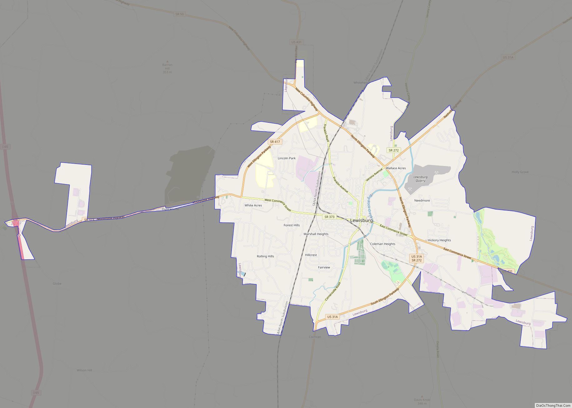
Lewisburg is a city in, and the county seat of Marshall County, Tennessee, United States. The population was 12,288 in 2020. Lewisburg is located in Middle Tennessee, fifty miles south of Nashville and fifty-two miles north of Huntsville, Alabama. Residents have access to the larger cities via nearby I-65. Located among rolling hills, Lewisburg was ... Read more
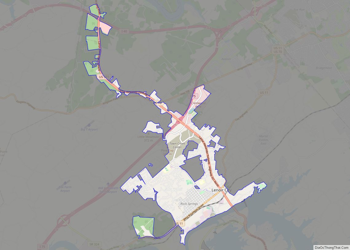
Lenoir City is a suburban city located mostly in Loudon County, and partially in Roane County in Tennessee. The population was 10,117 at the 2020 Census. It is included in the Knoxville metropolitan area in the state’s eastern region, along the Tennessee River southwest of Knoxville. Lenoir City city overview: Name: Lenoir City city LSAD ... Read more
Lebanon /ˈlɛbnən/ is the county seat of Wilson County, Tennessee, United States. The population was 38,431 at the 2020 census. Lebanon is located in Middle Tennessee, approximately 25 miles (40 km) east of downtown Nashville. Lebanon is part of the Nashville Metropolitan Statistical Area. Lebanon city overview: Name: Lebanon city LSAD Code: 25 LSAD Description: city ... Read more
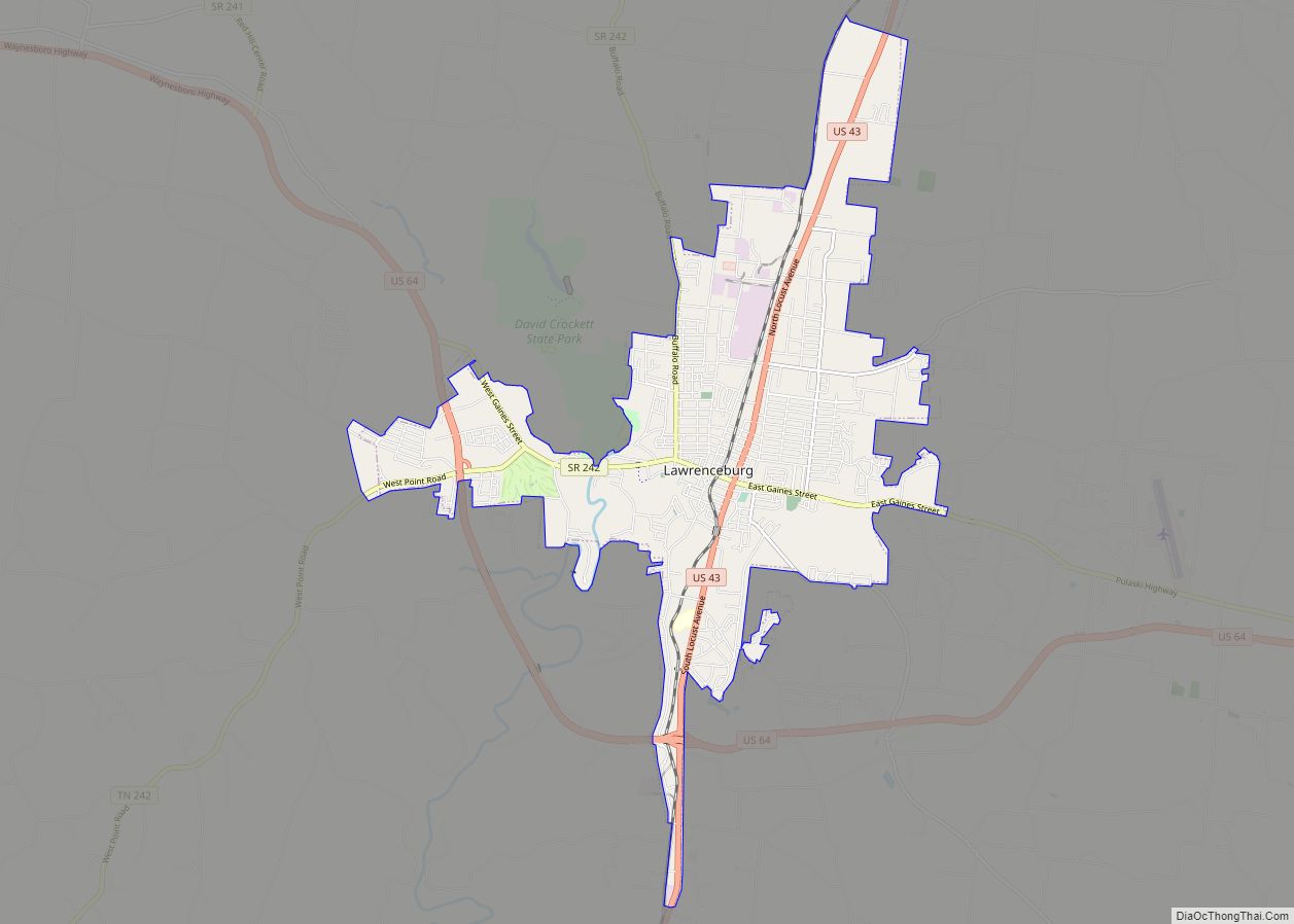
The city of Lawrenceburg is the county seat of Lawrence County, Tennessee, United States, The largest city on the state’s southern border between Chattanooga and Memphis, it lies on the banks of Shoal Creek. The population was 11,633 at the 2020 United States Census. The city is named after War of 1812 American Navy officer ... Read more
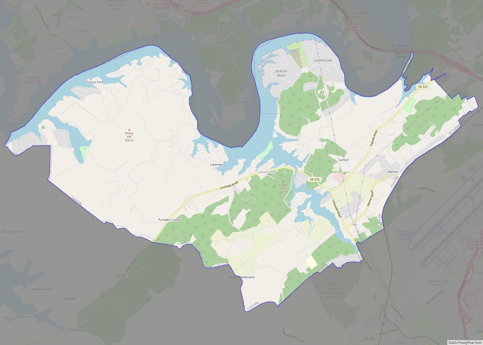
Louisville is a suburban town in Blount County, Tennessee, United States. Its population was 4,384 at the 2020 census and 2,439 at the 2010 census. It is included in the Knoxville, Tennessee Metropolitan Statistical Area. Louisville city overview: Name: Louisville city LSAD Code: 25 LSAD Description: city (suffix) State: Tennessee County: Blount County Elevation: 837 ft ... Read more
