Lobelville is a city in Perry County, Tennessee, United States that was established as a trading post on the Buffalo River in 1854. The population was 897 at the 2010 census.
| Name: | Lobelville city |
|---|---|
| LSAD Code: | 25 |
| LSAD Description: | city (suffix) |
| State: | Tennessee |
| County: | Perry County |
| Elevation: | 502 ft (153 m) |
| Total Area: | 3.75 sq mi (9.72 km²) |
| Land Area: | 3.75 sq mi (9.72 km²) |
| Water Area: | 0.00 sq mi (0.01 km²) |
| Total Population: | 919 |
| Population Density: | 244.94/sq mi (94.58/km²) |
| ZIP code: | 37097 |
| Area code: | 931 |
| FIPS code: | 4743160 |
| GNISfeature ID: | 1291752 |
| Website: | www.lobelvilletn.org |
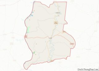
Online Interactive Map
Click on ![]() to view map in "full screen" mode.
to view map in "full screen" mode.
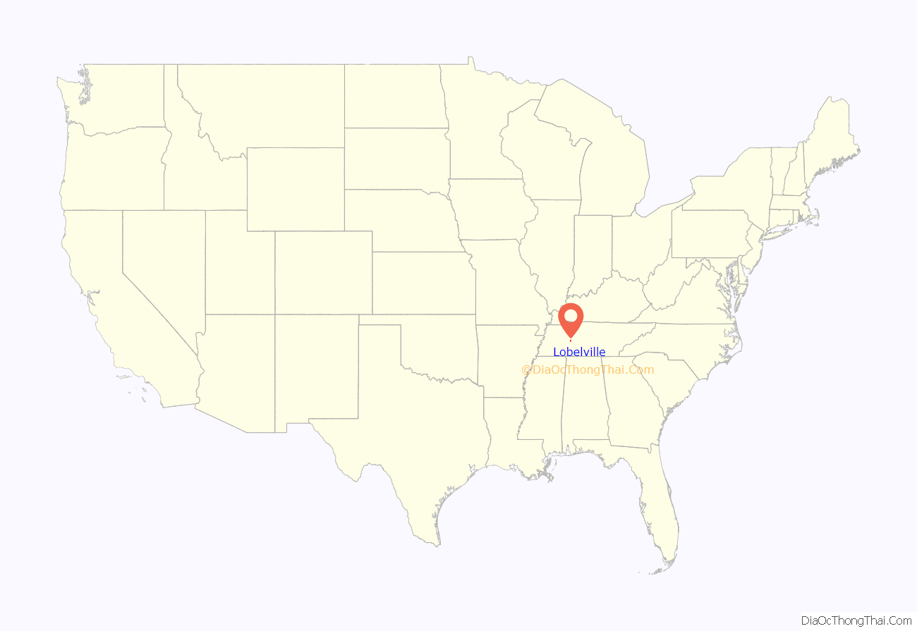
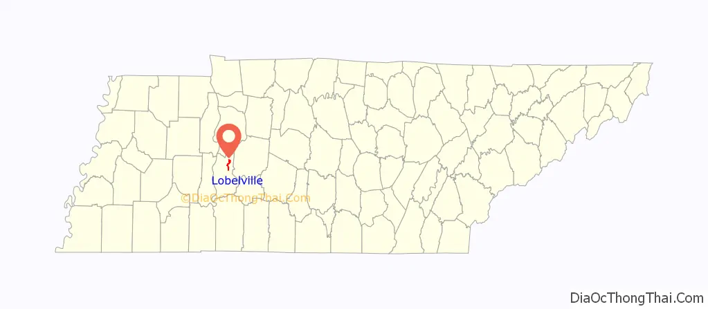
Lobelville location map. Where is Lobelville city?
History
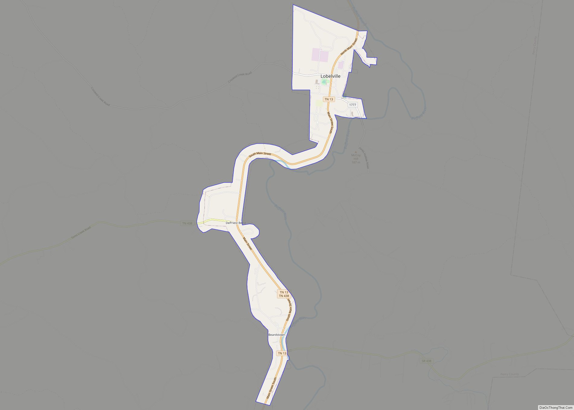
Lobelville was established in 1854 by French trader Henri de Lobel. Originally known as Lobelsville, Lobel established a trading post on the Buffalo River in the early 19th century expecting that it would become a trading route. The proximity of the Tennessee River made this an unprofitable venture, and it never took off as a major trading point.
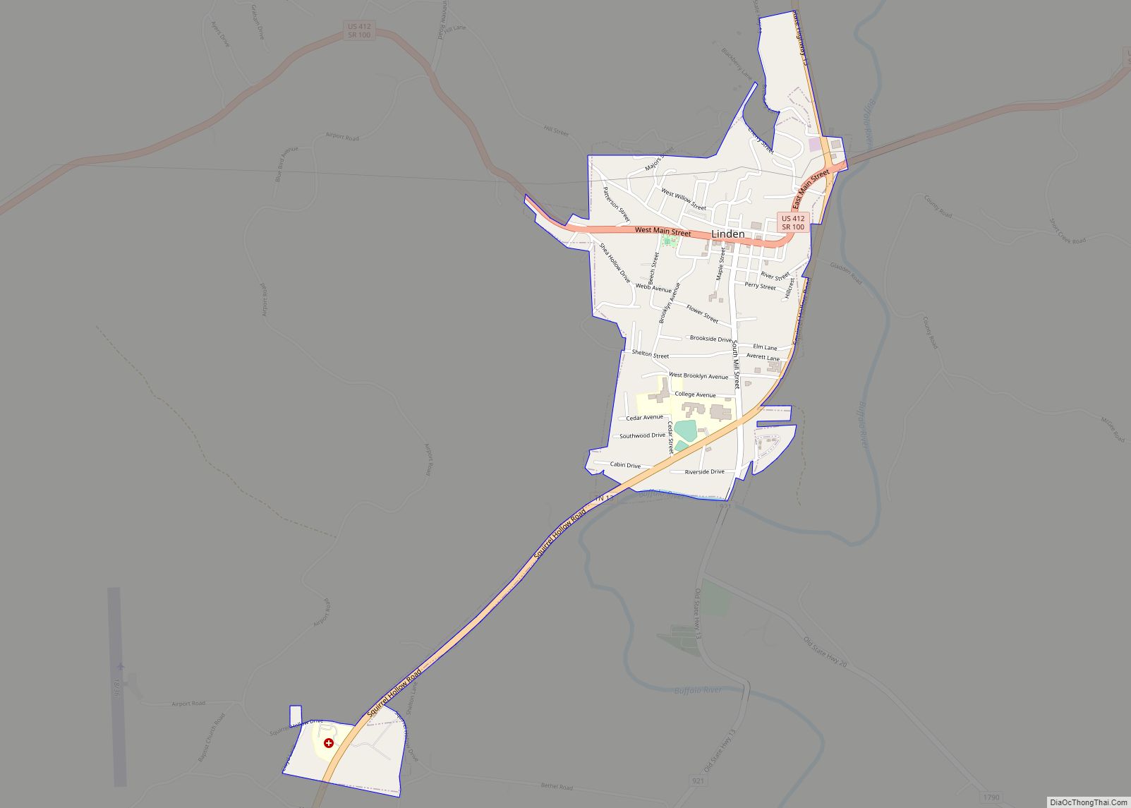
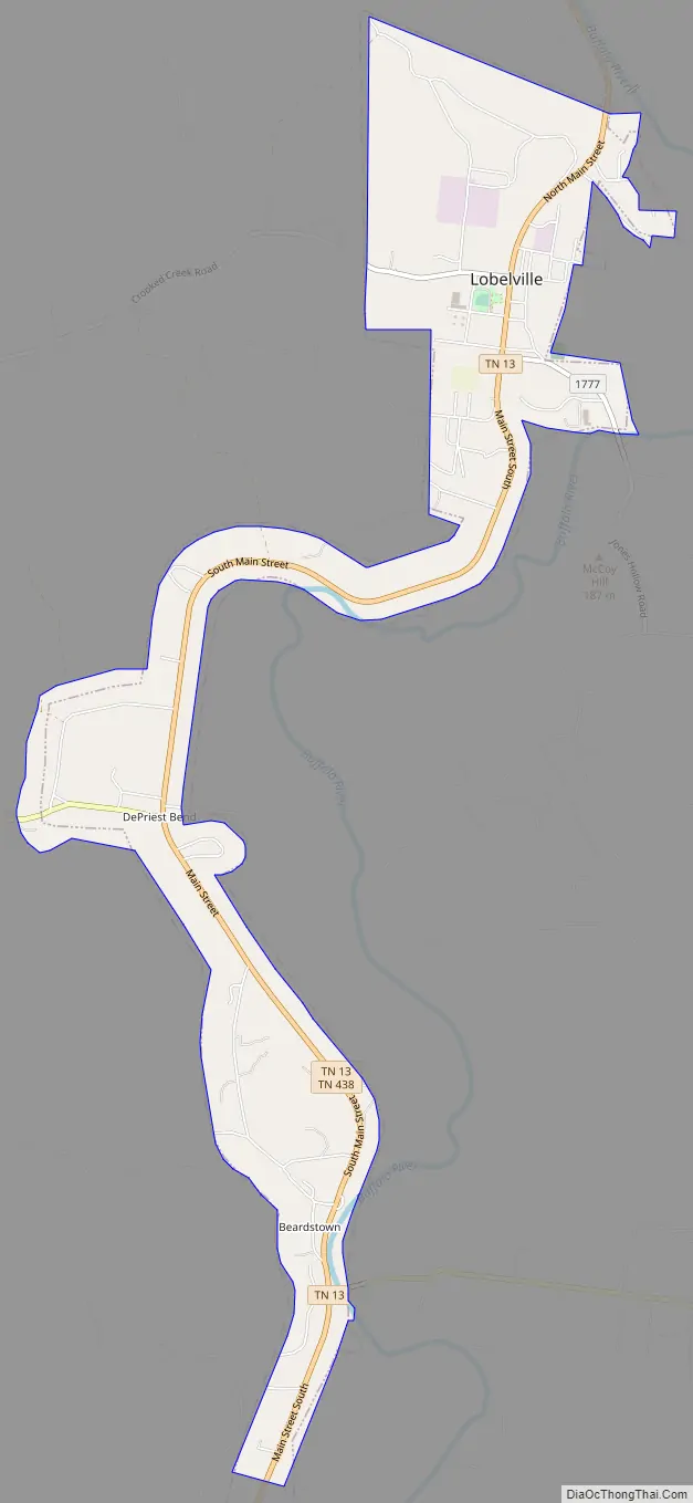
Lobelville Road Map
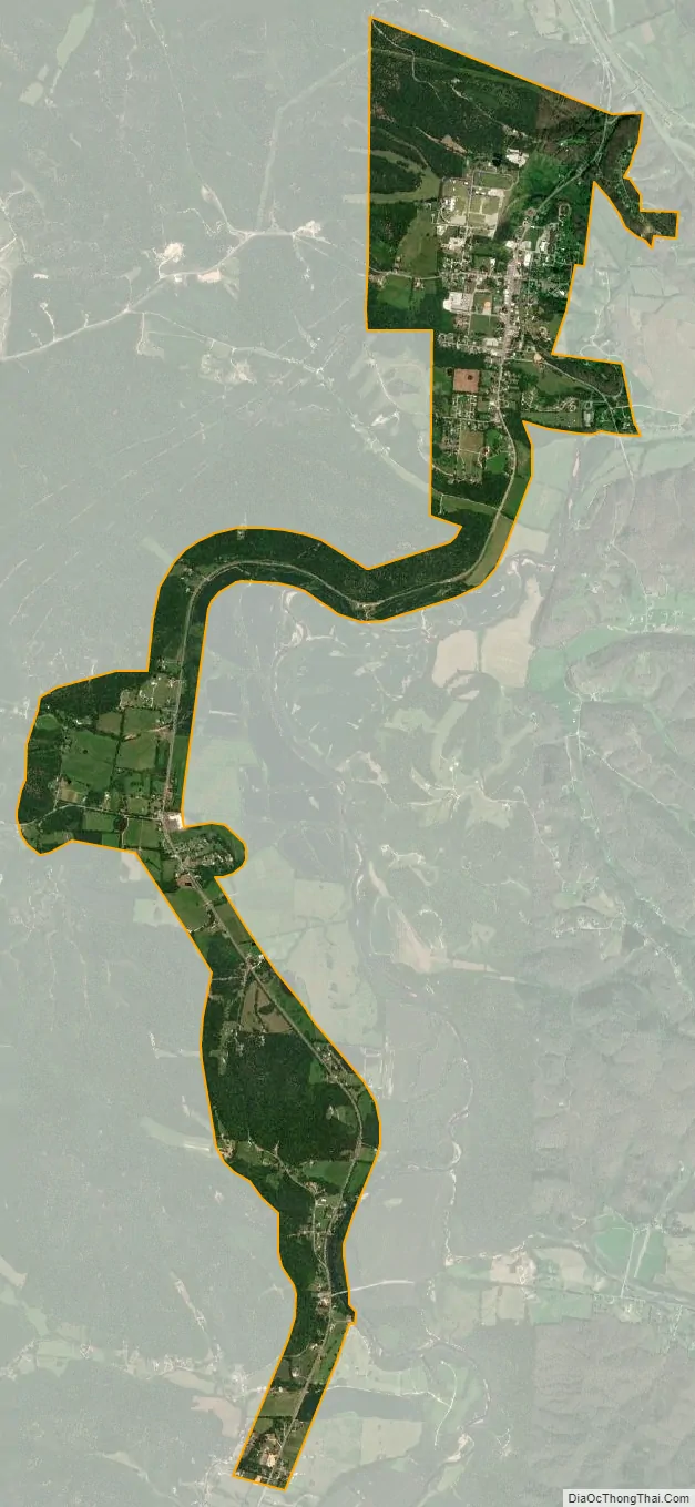
Lobelville city Satellite Map
Geography
Lobelville is located at 35°45′4″N 87°47′35″W / 35.75111°N 87.79306°W / 35.75111; -87.79306 (35.751119, -87.793085).
According to the United States Census Bureau, the city has a total area of 3.9 square miles (10 km), of which, 3.9 square miles (10 km) of it is land and 0.25% is water.
Lobelville now is the site of a major transfer point on the Tennessee Gas Pipeline Company pipeline network, which is also the oldest continuously operating business in the town, beginning operations in 1943. It is bisected by State Route 13, a connector to Interstate 40 (via exit 143 approximately 10 miles (16 km) north in Humphreys County, Tennessee) and U.S. Route 412 approximately 13 miles (21 km) south in Linden. State Route 438 also passes through the southern part of Lobelville.
See also
Map of Tennessee State and its subdivision:- Anderson
- Bedford
- Benton
- Bledsoe
- Blount
- Bradley
- Campbell
- Cannon
- Carroll
- Carter
- Cheatham
- Chester
- Claiborne
- Clay
- Cocke
- Coffee
- Crockett
- Cumberland
- Davidson
- Decatur
- DeKalb
- Dickson
- Dyer
- Fayette
- Fentress
- Franklin
- Gibson
- Giles
- Grainger
- Greene
- Grundy
- Hamblen
- Hamilton
- Hancock
- Hardeman
- Hardin
- Hawkins
- Haywood
- Henderson
- Henry
- Hickman
- Houston
- Humphreys
- Jackson
- Jefferson
- Johnson
- Knox
- Lake
- Lauderdale
- Lawrence
- Lewis
- Lincoln
- Loudon
- Macon
- Madison
- Marion
- Marshall
- Maury
- McMinn
- McNairy
- Meigs
- Monroe
- Montgomery
- Moore
- Morgan
- Obion
- Overton
- Perry
- Pickett
- Polk
- Putnam
- Rhea
- Roane
- Robertson
- Rutherford
- Scott
- Sequatchie
- Sevier
- Shelby
- Smith
- Stewart
- Sullivan
- Sumner
- Tipton
- Trousdale
- Unicoi
- Union
- Van Buren
- Warren
- Washington
- Wayne
- Weakley
- White
- Williamson
- Wilson
- Alabama
- Alaska
- Arizona
- Arkansas
- California
- Colorado
- Connecticut
- Delaware
- District of Columbia
- Florida
- Georgia
- Hawaii
- Idaho
- Illinois
- Indiana
- Iowa
- Kansas
- Kentucky
- Louisiana
- Maine
- Maryland
- Massachusetts
- Michigan
- Minnesota
- Mississippi
- Missouri
- Montana
- Nebraska
- Nevada
- New Hampshire
- New Jersey
- New Mexico
- New York
- North Carolina
- North Dakota
- Ohio
- Oklahoma
- Oregon
- Pennsylvania
- Rhode Island
- South Carolina
- South Dakota
- Tennessee
- Texas
- Utah
- Vermont
- Virginia
- Washington
- West Virginia
- Wisconsin
- Wyoming