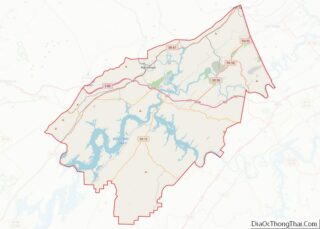
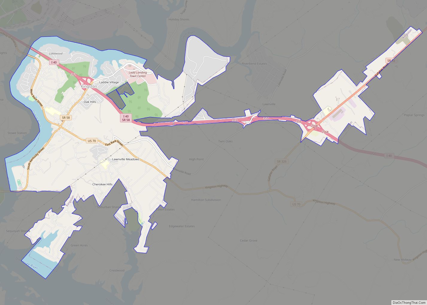
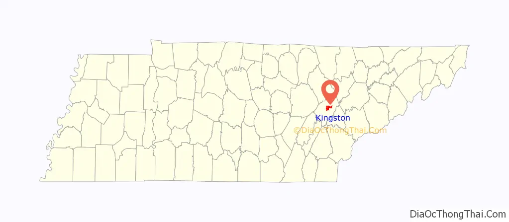
Kingston is a city in and the county seat of Roane County, Tennessee, United States. This city is thirty-six miles southwest of Knoxville. It had a population of 5,934 at the 2010 United States census, and is included in the Harriman Micropolitan Statistical Area. Kingston is adjacent to Watts Bar Lake.
| Name: | Kingston city |
|---|---|
| LSAD Code: | 25 |
| LSAD Description: | city (suffix) |
| State: | Tennessee |
| County: | Roane County |
| Incorporated: | 1799 |
| Elevation: | 764 ft (233 m) |
| Total Area: | 8.18 sq mi (21.18 km²) |
| Land Area: | 7.29 sq mi (18.88 km²) |
| Water Area: | 0.89 sq mi (2.30 km²) |
| Total Population: | 5,953 |
| Population Density: | 816.60/sq mi (315.31/km²) |
| ZIP code: | 37763 |
| Area code: | 865 |
| FIPS code: | 4739620 |
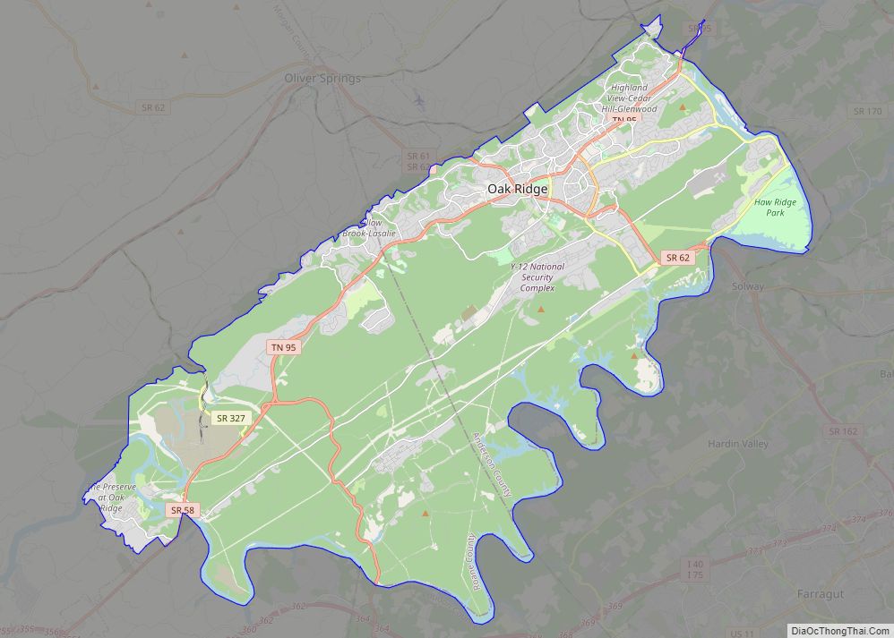
Online Interactive Map
Click on ![]() to view map in "full screen" mode.
to view map in "full screen" mode.
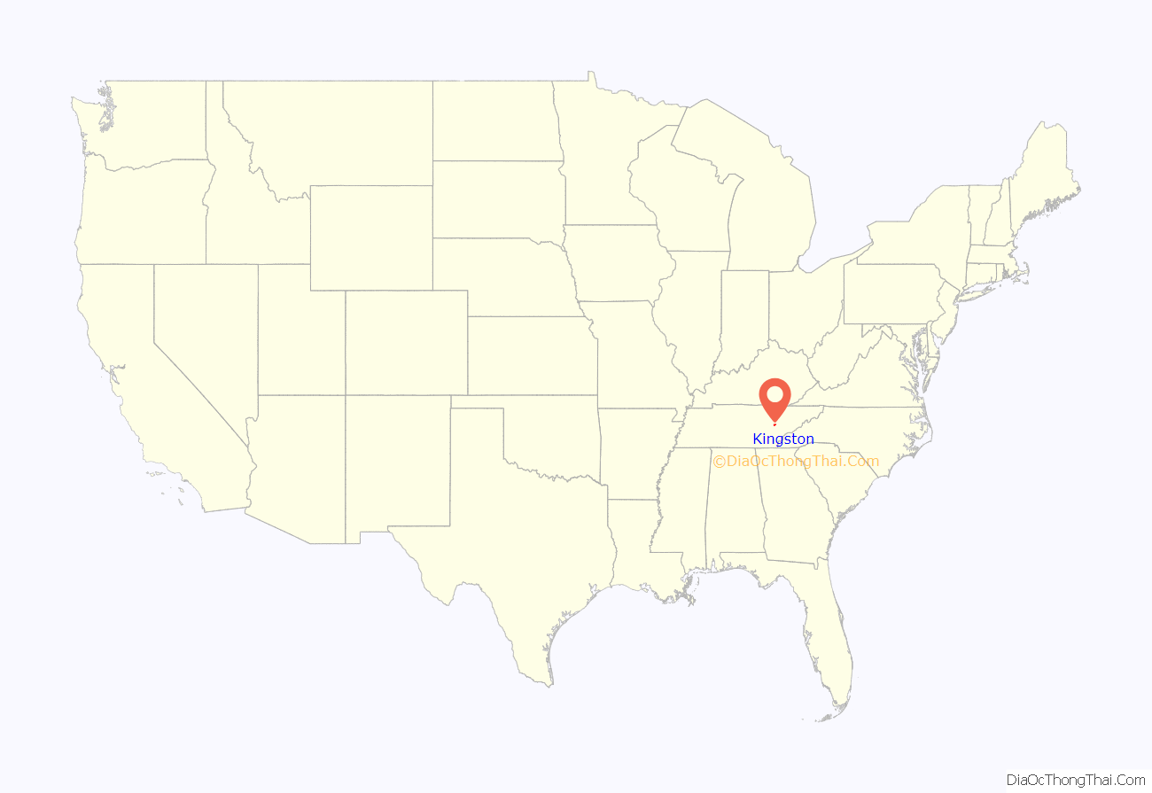
Kingston location map. Where is Kingston city?
History
Kingston has its roots in Fort Southwest Point, which was built just south of present-day Kingston in 1792. At the time, Southwest Point was on the fringe of the legal settlement area for Euro-Americans. A Cherokee village, headed by Chief Tollunteeskee, was situated just across the river, at what is now Rockwood. In 1805, Colonel Return J. Meigs, who operated out of Southwest Point, was appointed Cherokee Agent, effectively moving the agency from the Tellico Blockhouse to Southwest Point. The city of Kingston was established on October 23, 1799, as part of an effort to partition Knox County (the initial effort to form a separate county failed, but succeeded two years later). Kingston was named after Major Robert King, an officer at Fort Southwest Point in the 1790s.
On September 21, 1807, Kingston was Tennessee’s state capital for one day. The Tennessee General Assembly convened in Kingston that day due to an agreement with the Cherokee, who had been told that if the Cherokee Nation ceded the land that is now Roane County, Kingston would become the capital of Tennessee. After adjourning that day, the Assembly resumed meeting in Knoxville.
At the outset of the Civil War in 1861, Kingston was selected as the site of the third session of the East Tennessee Convention, which attempted to form a new, Union-aligned state in East Tennessee. Due to the Confederate occupation of the region, however, this third session, which was scheduled for August 1861, never took place. In October 1861, William B. Carter and several co-conspirators planned the East Tennessee bridge burnings from a command post in Kingston. On November 24, 1863, Confederate Cavalry under Joseph Wheeler numbering about 500–1,000 men tried to take Kingston from the Union in the Battle of Kingston, but they were unsuccessful.
In 1955, the Tennessee Valley Authority completed work on the Kingston Fossil Plant, which at the time was the world’s largest coal-burning power plant. The plant, which consumes roughly 14,000 short tons (13,000 t) of coal daily, can produce up to 1,456 megawatts of electricity. The plant’s 1,000-foot (305 m) smokestacks are a familiar sight to those driving on the Roane County stretch of Interstate 40. On December 22, 2008, a 40-acre (0.16 km) impoundment containing fly ash slurry from the power plant broke, spilling more than 1 billion US gallons (3,800,000 m) of waste into the surrounding area.
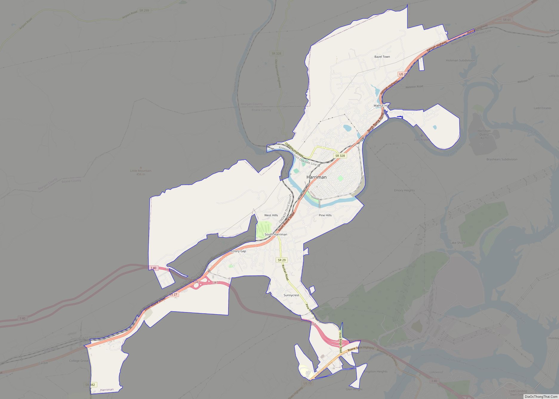
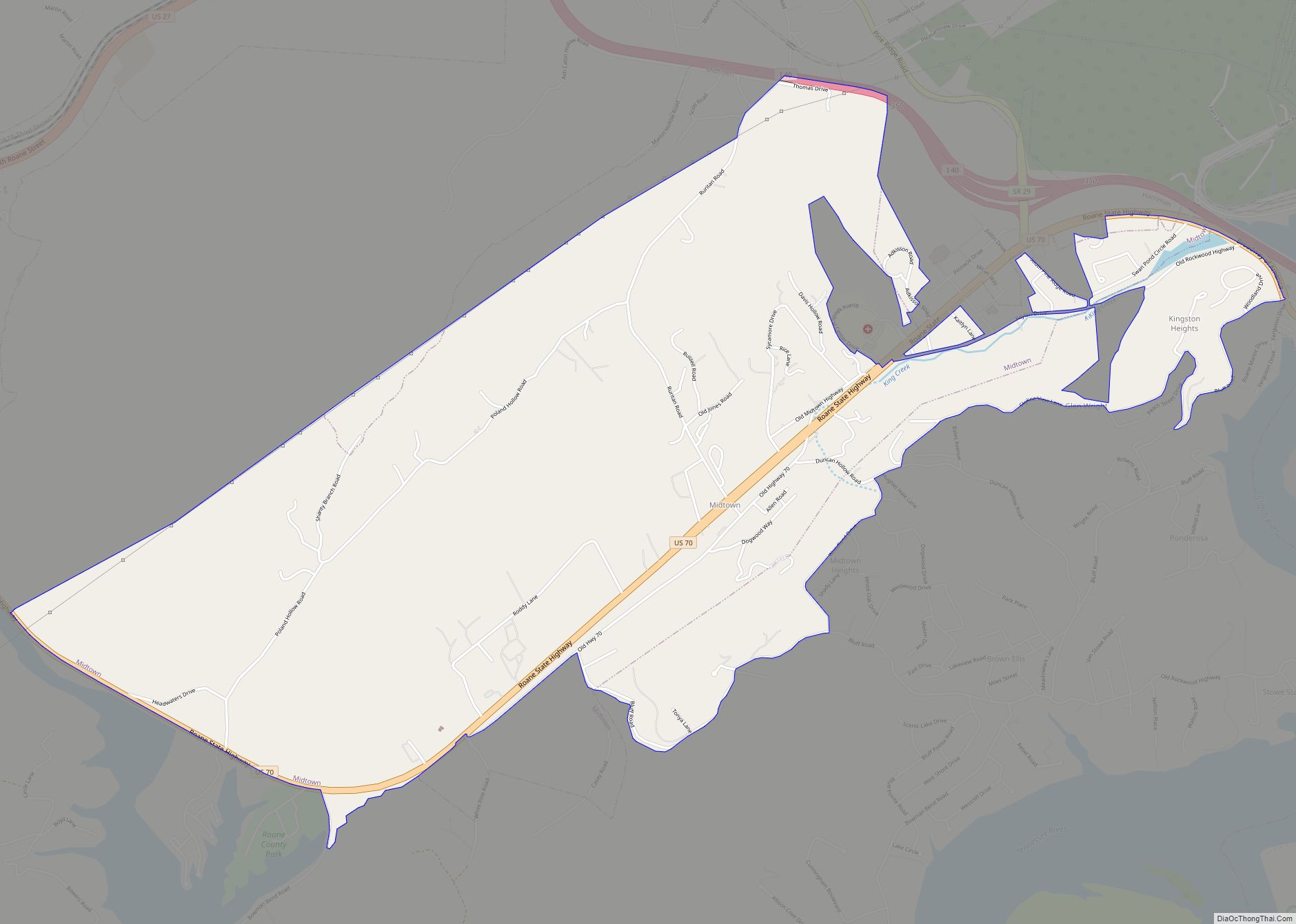
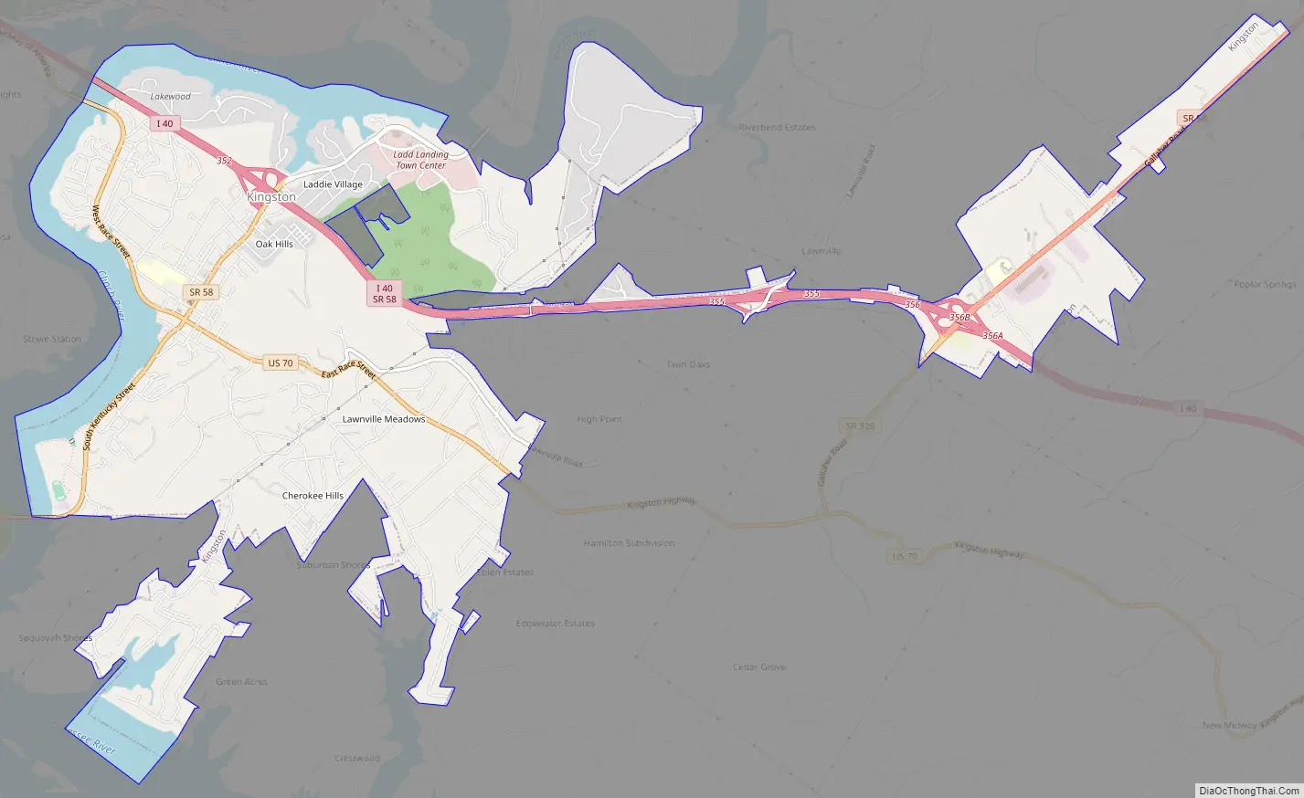
Kingston Road Map
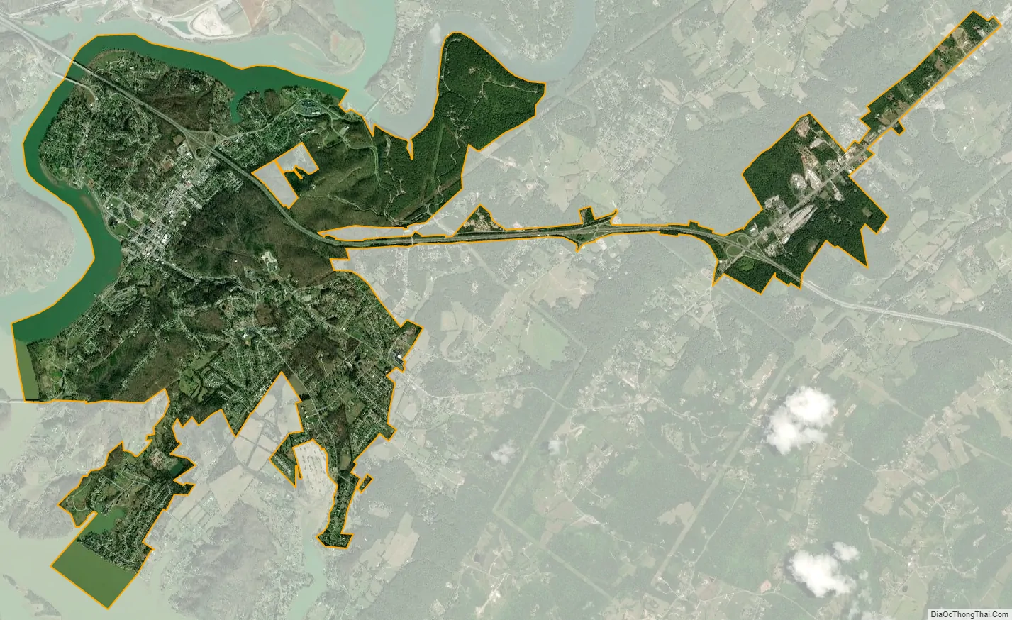
Kingston city Satellite Map
Geography
The town is situated at the confluence of the Clinch, Emory, and Tennessee rivers. These confluences are now part of Watts Bar Lake, a reservoir created by the impoundment of the Tennessee by Watts Bar Dam several miles to the southwest.
Kingston is located near the junction of U.S. Route 70, which connects Kingston with Knoxville to the east and Nashville to the west, and State Route 58, which connects Kingston with Oak Ridge to the northeast and Chattanooga to the south. Interstate 40 passes through Kingston, running roughly parallel to U.S. 70.
According to the United States Census Bureau, the city has a total area of 7.8 square miles (20.3 km), of which 7.1 square miles (18.4 km) is land and 0.73 square miles (1.9 km), or 9.56%, is water.
See also
Map of Tennessee State and its subdivision:- Anderson
- Bedford
- Benton
- Bledsoe
- Blount
- Bradley
- Campbell
- Cannon
- Carroll
- Carter
- Cheatham
- Chester
- Claiborne
- Clay
- Cocke
- Coffee
- Crockett
- Cumberland
- Davidson
- Decatur
- DeKalb
- Dickson
- Dyer
- Fayette
- Fentress
- Franklin
- Gibson
- Giles
- Grainger
- Greene
- Grundy
- Hamblen
- Hamilton
- Hancock
- Hardeman
- Hardin
- Hawkins
- Haywood
- Henderson
- Henry
- Hickman
- Houston
- Humphreys
- Jackson
- Jefferson
- Johnson
- Knox
- Lake
- Lauderdale
- Lawrence
- Lewis
- Lincoln
- Loudon
- Macon
- Madison
- Marion
- Marshall
- Maury
- McMinn
- McNairy
- Meigs
- Monroe
- Montgomery
- Moore
- Morgan
- Obion
- Overton
- Perry
- Pickett
- Polk
- Putnam
- Rhea
- Roane
- Robertson
- Rutherford
- Scott
- Sequatchie
- Sevier
- Shelby
- Smith
- Stewart
- Sullivan
- Sumner
- Tipton
- Trousdale
- Unicoi
- Union
- Van Buren
- Warren
- Washington
- Wayne
- Weakley
- White
- Williamson
- Wilson
- Alabama
- Alaska
- Arizona
- Arkansas
- California
- Colorado
- Connecticut
- Delaware
- District of Columbia
- Florida
- Georgia
- Hawaii
- Idaho
- Illinois
- Indiana
- Iowa
- Kansas
- Kentucky
- Louisiana
- Maine
- Maryland
- Massachusetts
- Michigan
- Minnesota
- Mississippi
- Missouri
- Montana
- Nebraska
- Nevada
- New Hampshire
- New Jersey
- New Mexico
- New York
- North Carolina
- North Dakota
- Ohio
- Oklahoma
- Oregon
- Pennsylvania
- Rhode Island
- South Carolina
- South Dakota
- Tennessee
- Texas
- Utah
- Vermont
- Virginia
- Washington
- West Virginia
- Wisconsin
- Wyoming