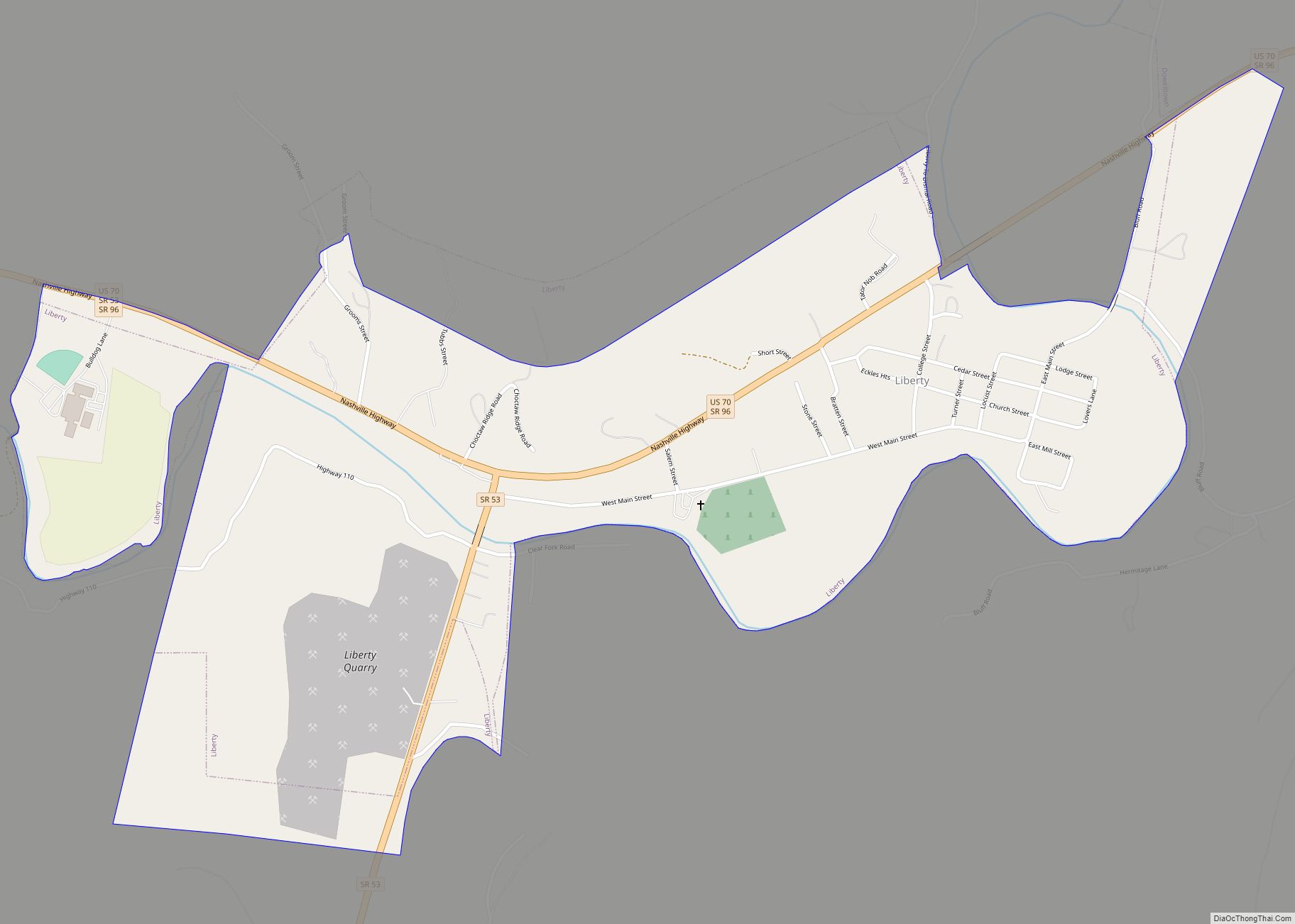
Liberty is a town in DeKalb County, Tennessee, United States. The population was 367 at the 2000 census and 310 in 2010. Liberty’s main street was listed on the National Register of Historic Places in 1987 as the Liberty Historic District.
| Name: | Liberty town |
|---|---|
| LSAD Code: | 43 |
| LSAD Description: | town (suffix) |
| State: | Tennessee |
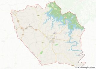
| County: | DeKalb County |
| Incorporated: | 1850 |
| Elevation: | 610 ft (186 m) |
| Total Area: | 1.16 sq mi (2.99 km²) |
| Land Area: | 1.16 sq mi (2.99 km²) |
| Water Area: | 0.00 sq mi (0.00 km²) |
| Total Population: | 334 |
| Population Density: | 289.18/sq mi (111.69/km²) |
| ZIP code: | 37095 |
| Area code: | 615 |
| FIPS code: | 4742040 |
| GNISfeature ID: | 1313986 |
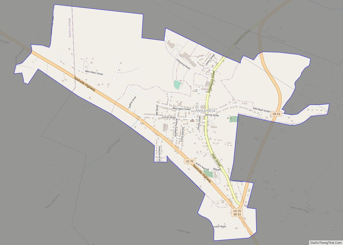
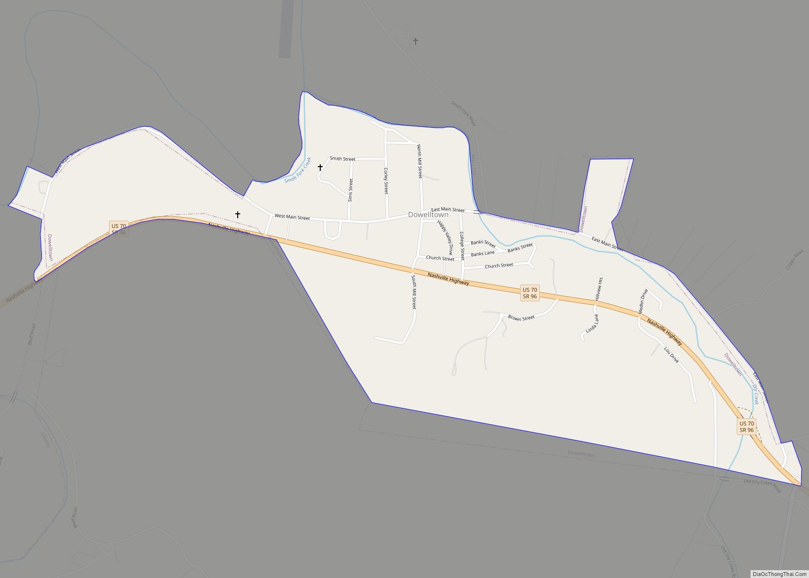
Online Interactive Map
Click on ![]() to view map in "full screen" mode.
to view map in "full screen" mode.
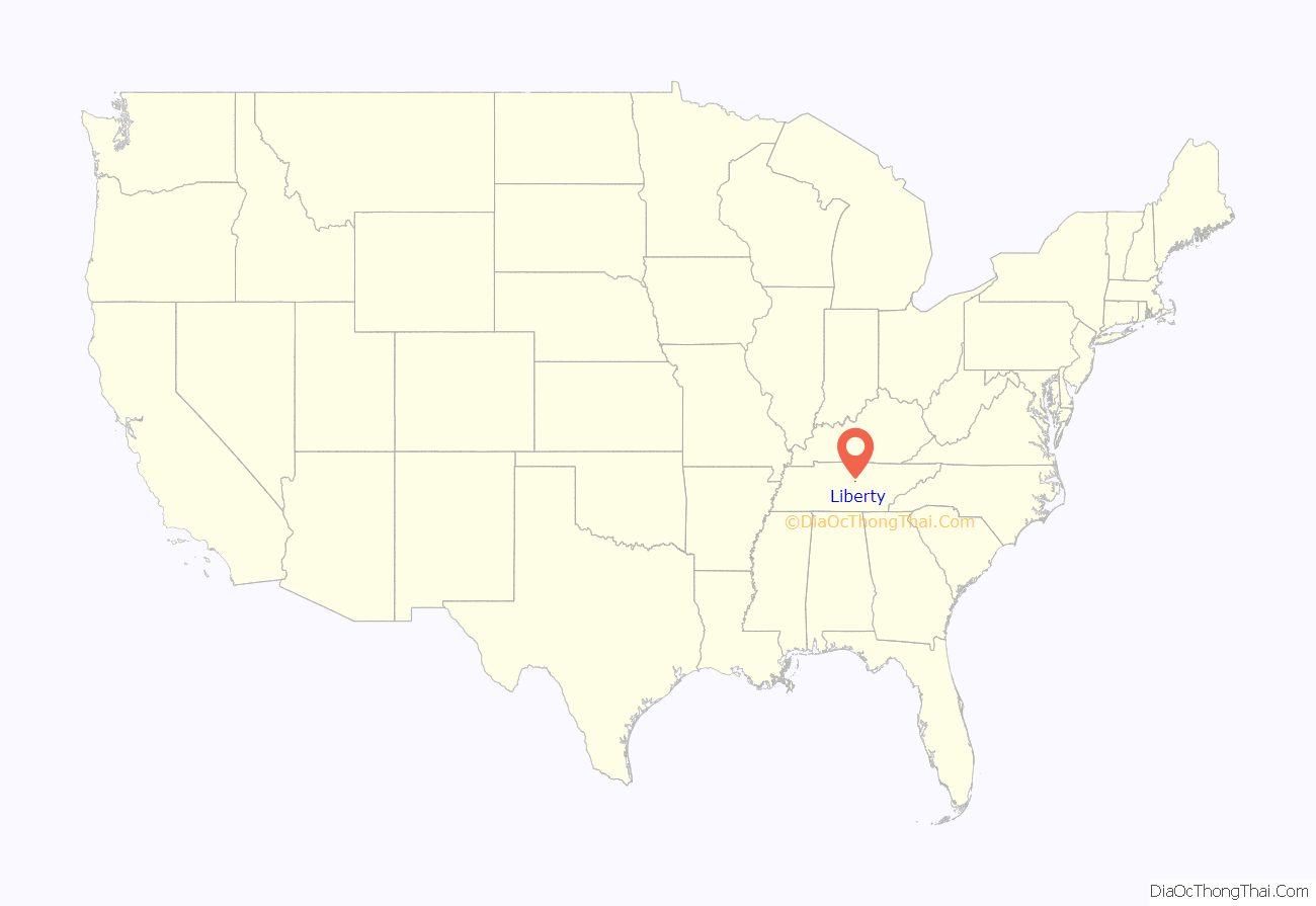
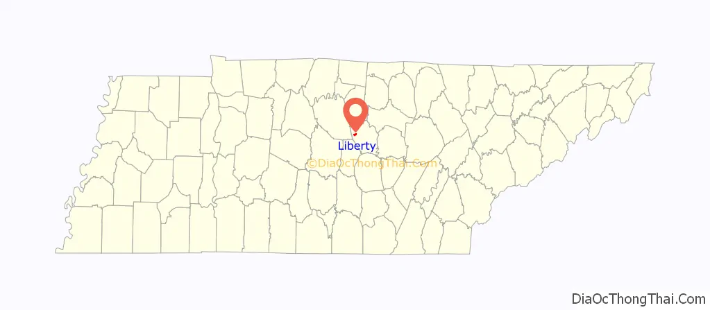
Liberty location map. Where is Liberty town?
History
Liberty was settled circa 1797 by Adam Dale, an American Revolutionary War veteran from Maryland who built a mill on Smith Fork Creek.
Much of Main Street in Liberty is included in an historic district listed on the National Register of Historic Places. Properties in the historic district include the Liberty High School, built from limestone quarried in the area, and the Salem Baptist Church and cemetery.
On the evening of March 23, 1889, Liberty was hit by a tornado that uprooted trees and caused extensive damage to homes. A local church was completely destroyed. According to records, there were no fatalities reported.
Liberty Road Map
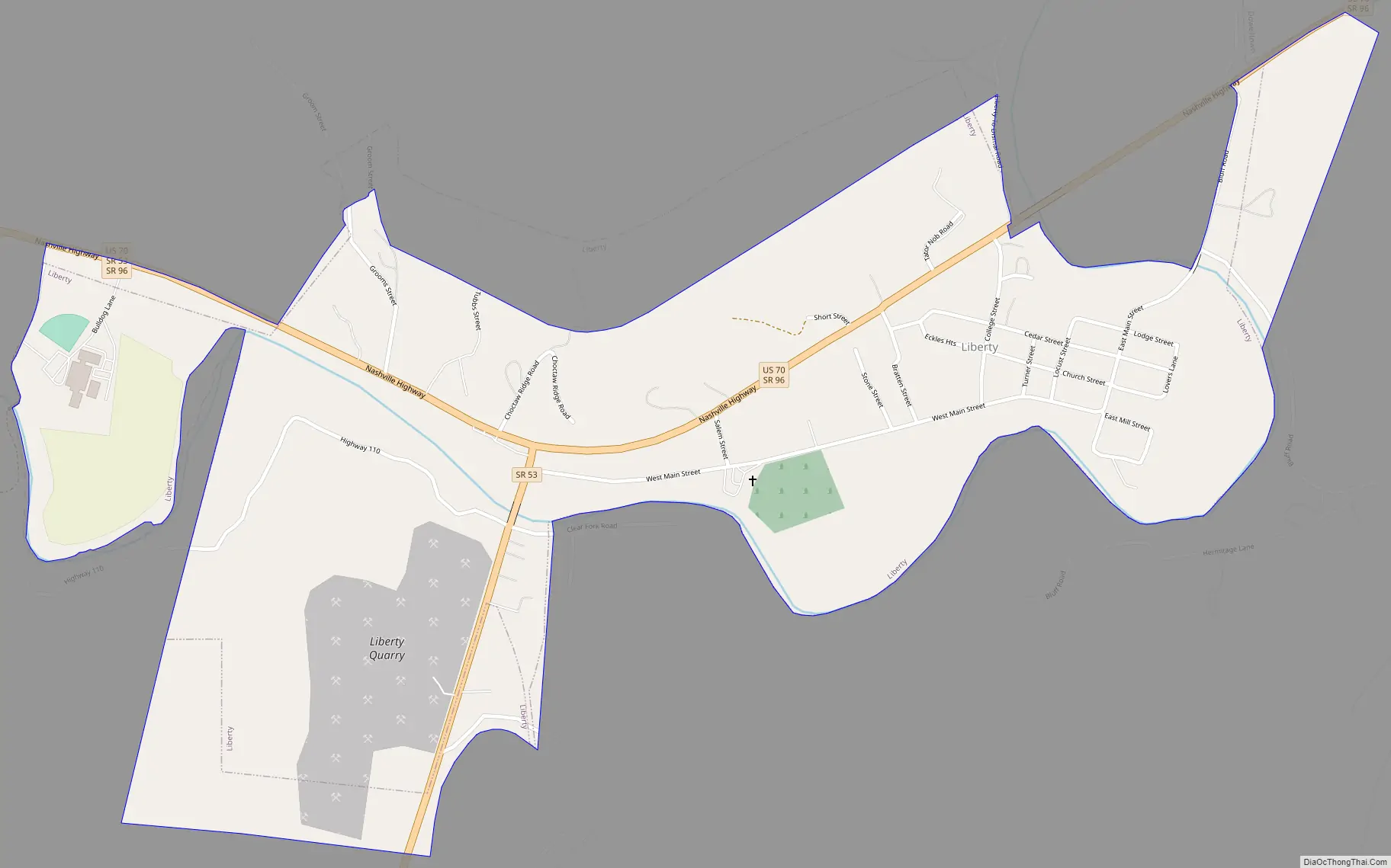
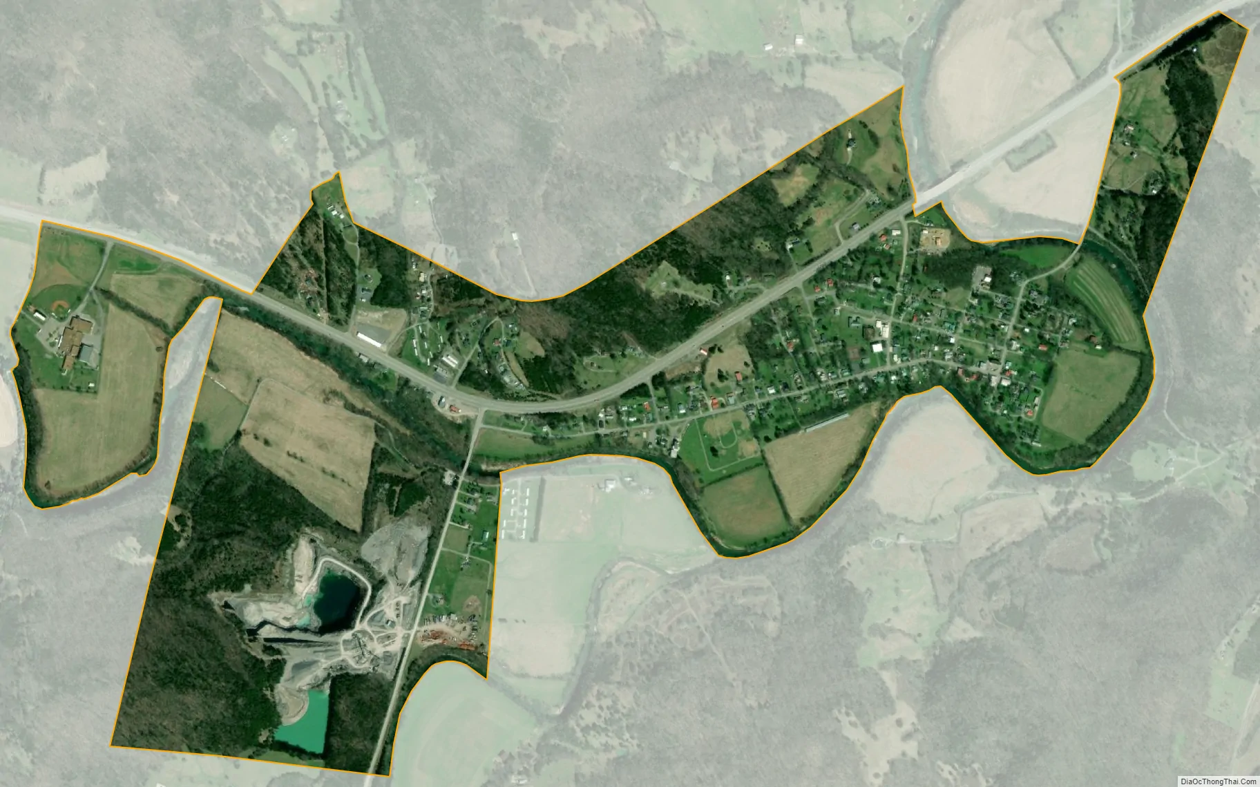
Liberty city Satellite Map
Geography
Liberty is located at 36°0′18″N 85°58′22″W / 36.00500°N 85.97278°W / 36.00500; -85.97278 (36.004959, -85.972816).
According to the United States Census Bureau, the town has a total area of 1.0 square mile (2.6 km), all land.
See also
Map of Tennessee State and its subdivision:- Anderson
- Bedford
- Benton
- Bledsoe
- Blount
- Bradley
- Campbell
- Cannon
- Carroll
- Carter
- Cheatham
- Chester
- Claiborne
- Clay
- Cocke
- Coffee
- Crockett
- Cumberland
- Davidson
- Decatur
- DeKalb
- Dickson
- Dyer
- Fayette
- Fentress
- Franklin
- Gibson
- Giles
- Grainger
- Greene
- Grundy
- Hamblen
- Hamilton
- Hancock
- Hardeman
- Hardin
- Hawkins
- Haywood
- Henderson
- Henry
- Hickman
- Houston
- Humphreys
- Jackson
- Jefferson
- Johnson
- Knox
- Lake
- Lauderdale
- Lawrence
- Lewis
- Lincoln
- Loudon
- Macon
- Madison
- Marion
- Marshall
- Maury
- McMinn
- McNairy
- Meigs
- Monroe
- Montgomery
- Moore
- Morgan
- Obion
- Overton
- Perry
- Pickett
- Polk
- Putnam
- Rhea
- Roane
- Robertson
- Rutherford
- Scott
- Sequatchie
- Sevier
- Shelby
- Smith
- Stewart
- Sullivan
- Sumner
- Tipton
- Trousdale
- Unicoi
- Union
- Van Buren
- Warren
- Washington
- Wayne
- Weakley
- White
- Williamson
- Wilson
- Alabama
- Alaska
- Arizona
- Arkansas
- California
- Colorado
- Connecticut
- Delaware
- District of Columbia
- Florida
- Georgia
- Hawaii
- Idaho
- Illinois
- Indiana
- Iowa
- Kansas
- Kentucky
- Louisiana
- Maine
- Maryland
- Massachusetts
- Michigan
- Minnesota
- Mississippi
- Missouri
- Montana
- Nebraska
- Nevada
- New Hampshire
- New Jersey
- New Mexico
- New York
- North Carolina
- North Dakota
- Ohio
- Oklahoma
- Oregon
- Pennsylvania
- Rhode Island
- South Carolina
- South Dakota
- Tennessee
- Texas
- Utah
- Vermont
- Virginia
- Washington
- West Virginia
- Wisconsin
- Wyoming