Centerville is a town in Hickman County, Tennessee, United States. The population was 3,489 as of the 2020 Census. It is the county seat and the only incorporated town in Hickman County. It is best known for being the hometown of American comedian Minnie Pearl. Centerville town overview: Name: Centerville town LSAD Code: 43 LSAD ... Read more
Tennessee Cities and Places
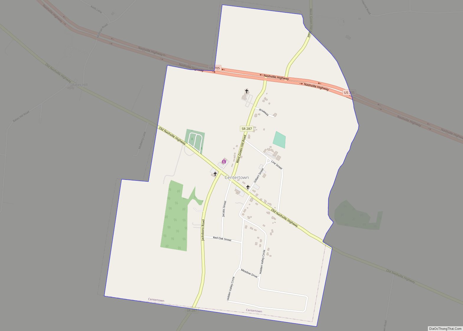
Centertown is a town in Warren County, Tennessee, United States. The population was 243 at the 2010 census. Centertown town overview: Name: Centertown town LSAD Code: 43 LSAD Description: town (suffix) State: Tennessee County: Warren County Elevation: 1,102 ft (336 m) Total Area: 0.92 sq mi (2.39 km²) Land Area: 0.92 sq mi (2.39 km²) Water Area: 0.00 sq mi (0.00 km²) Total Population: 297 Population ... Read more
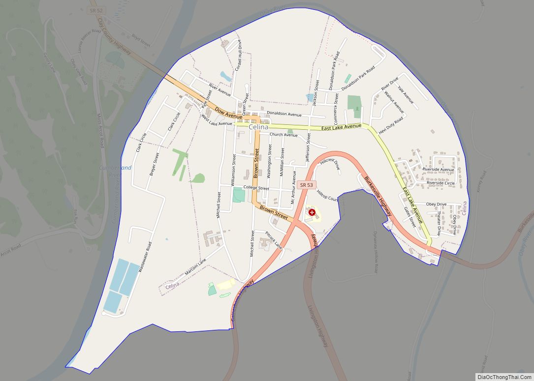
Celina is a city in and the county seat of Clay County, Tennessee, United States. The population was 1,495 at the 2010 census. Celina city overview: Name: Celina city LSAD Code: 25 LSAD Description: city (suffix) State: Tennessee County: Clay County Founded: 1832 Incorporated: 1846 Elevation: 554 ft (169 m) Total Area: 1.84 sq mi (4.77 km²) Land Area: 1.84 sq mi ... Read more
Cedar Hill is a city in Robertson County, Tennessee, United States. The population was 301 at the 2020 census. Cedar Hill city overview: Name: Cedar Hill city LSAD Code: 25 LSAD Description: city (suffix) State: Tennessee County: Robertson County Elevation: 679 ft (207 m) Total Area: 0.62 sq mi (1.61 km²) Land Area: 0.62 sq mi (1.61 km²) Water Area: 0.00 sq mi (0.00 km²) Total ... Read more
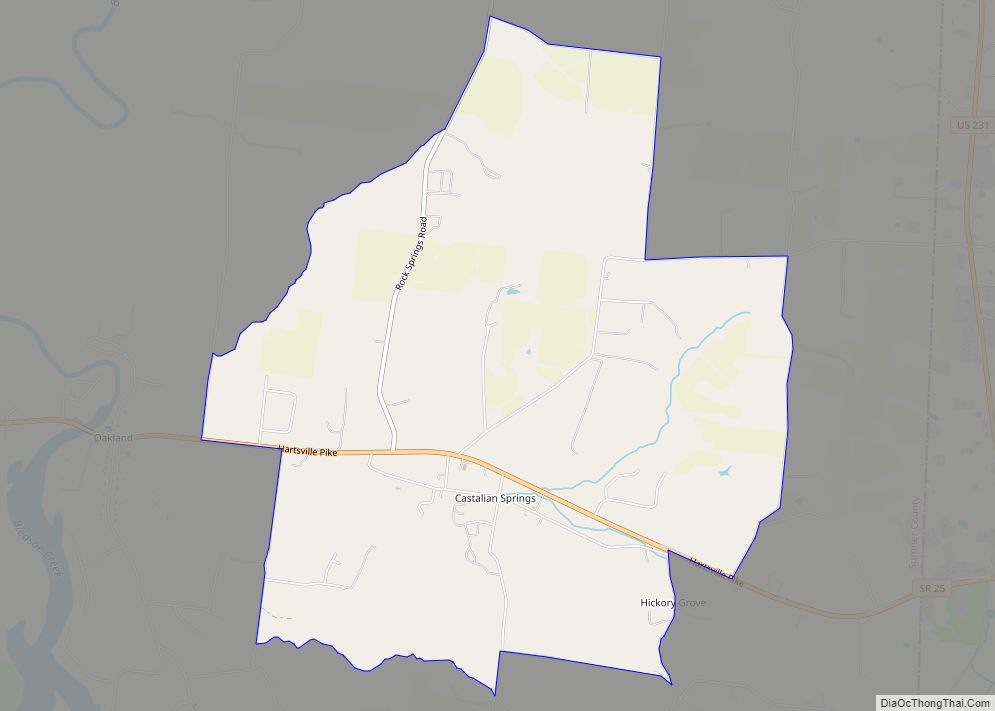
Castalian Springs is an unincorporated community and census-designated place (CDP) in Sumner County, Tennessee, United States. Castalian Springs CDP overview: Name: Castalian Springs CDP LSAD Code: 57 LSAD Description: CDP (suffix) State: Tennessee County: Sumner County Elevation: 495 ft (151 m) Total Area: 5.82 sq mi (15.07 km²) Land Area: 5.82 sq mi (15.07 km²) Water Area: 0.00 sq mi (0.00 km²) Total Population: 608 Population ... Read more
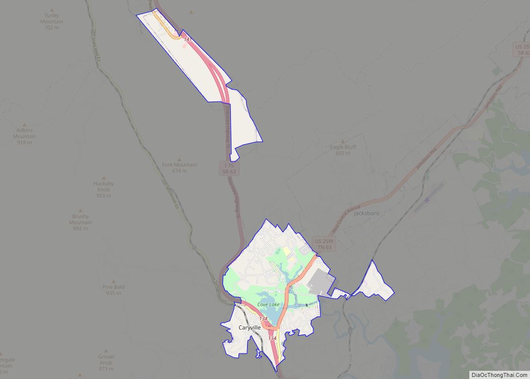
Caryville is a town in Campbell County, Tennessee, United States. The population was 2,297 at the 2010 census. Caryville town overview: Name: Caryville town LSAD Code: 43 LSAD Description: town (suffix) State: Tennessee County: Campbell County Elevation: 1,093 ft (333 m) Total Area: 5.83 sq mi (15.10 km²) Land Area: 5.56 sq mi (14.39 km²) Water Area: 0.27 sq mi (0.71 km²) Total Population: 2,212 Population ... Read more
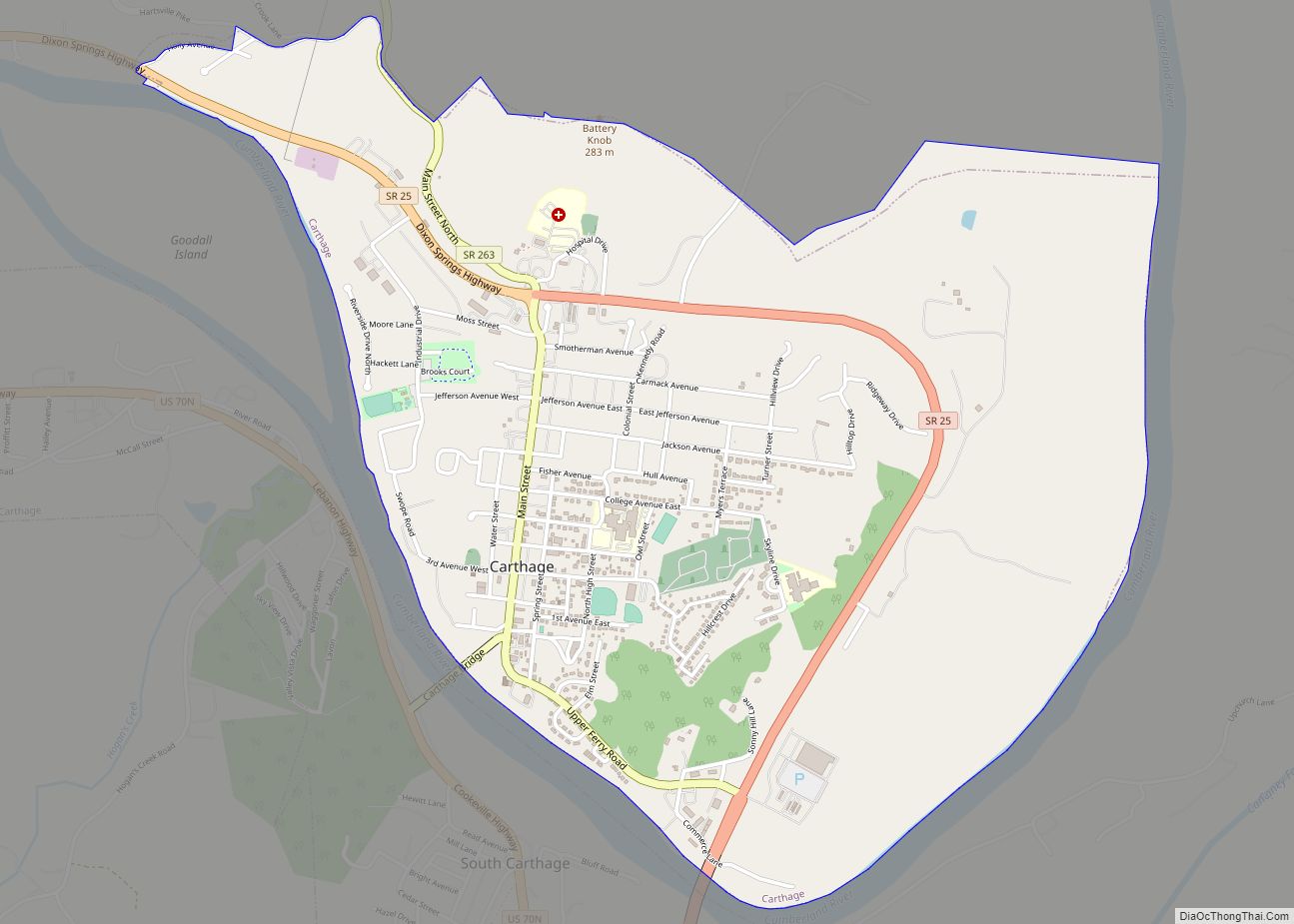
Carthage is a town in and the county seat of Smith County, Tennessee, United States; it is part of the Nashville Metropolitan Statistical Area. The population was 2,306 at the 2010 census. It is located on the Cumberland River, which was important to its early development. It is likely best known as the hometown of ... Read more
Camden is a city in Benton County, Tennessee, United States. The population was 3,674 at the 2020 census. It is the county seat of Benton County. Camden city overview: Name: Camden city LSAD Code: 25 LSAD Description: city (suffix) State: Tennessee County: Benton County Founded: 1836 Incorporated: 1838 Elevation: 449 ft (137 m) Total Area: 5.68 sq mi (14.70 km²) ... Read more
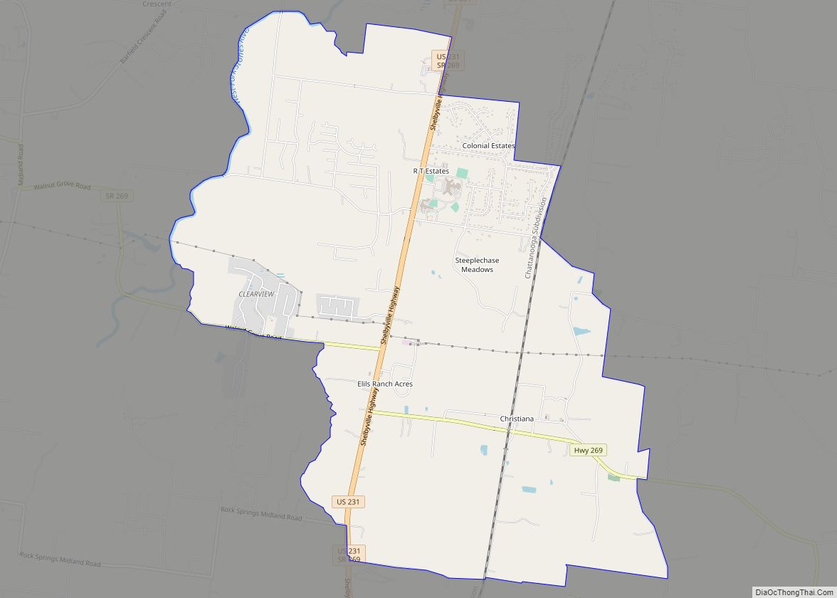
Christiana CDP overview: Name: Christiana CDP LSAD Code: 57 LSAD Description: CDP (suffix) State: Tennessee FIPS code: 4714860 Online Interactive Map Christiana online map. Source: Basemap layers from Google Map, Open Street Map (OSM), Arcgisonline, Wmflabs. Boundary Data from Database of Global Administrative Areas. Christiana location map. Where is Christiana CDP? Christiana Road Map Christiana ... Read more
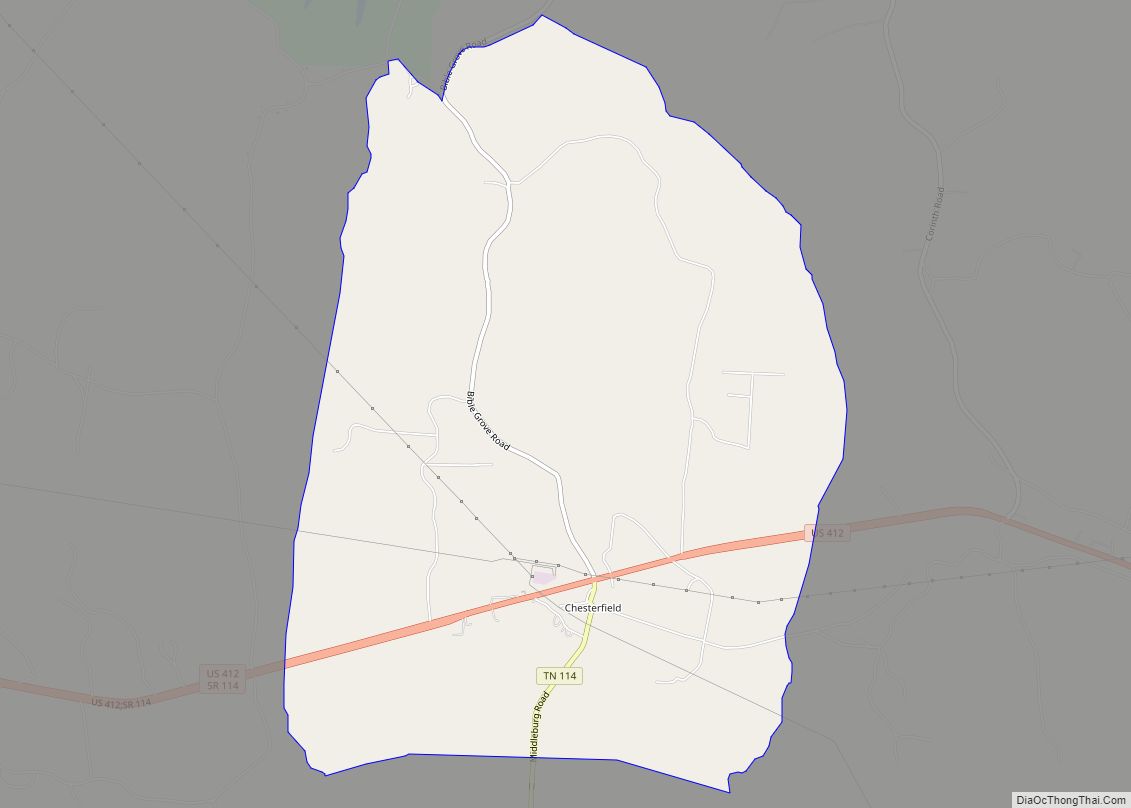
Chesterfield is a census-designated place and unincorporated community in Henderson County, Tennessee, United States. Its population was 469 as of the 2010 census. Chesterfield CDP overview: Name: Chesterfield CDP LSAD Code: 57 LSAD Description: CDP (suffix) State: Tennessee County: Henderson County Elevation: 404 ft (123 m) Total Area: 7.70 sq mi (19.93 km²) Land Area: 7.68 sq mi (19.90 km²) Water Area: 0.01 sq mi ... Read more
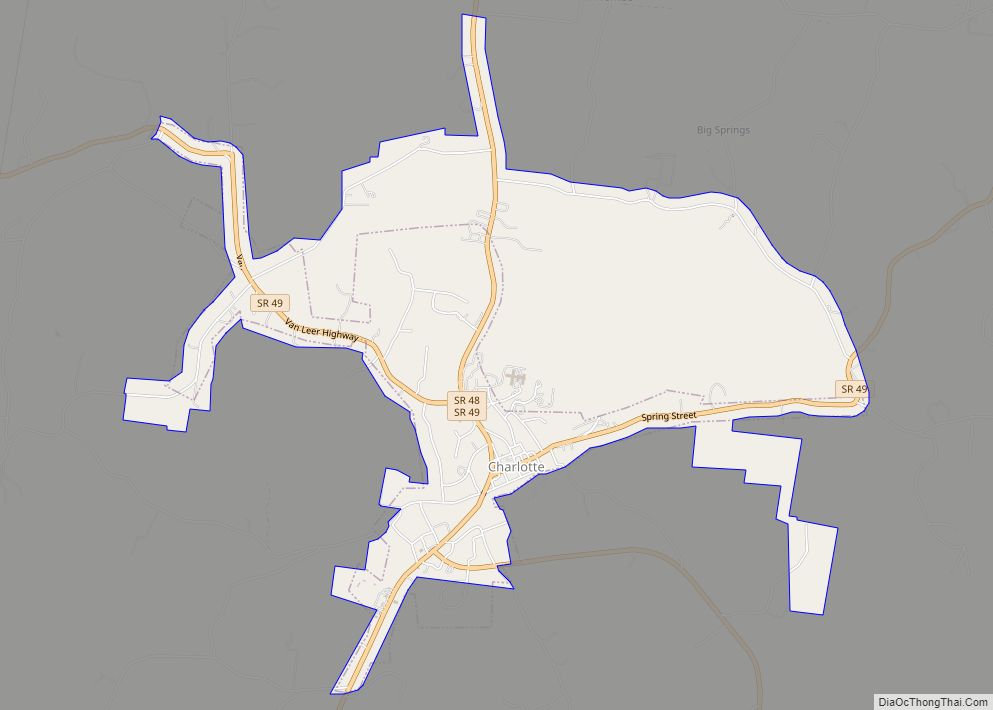
Charlotte is a town in Dickson County, Tennessee, United States. The population was 1,656 at the 2020 census. It is the county seat of Dickson County. This town is part of the Nashville metropolitan area. Charlotte town overview: Name: Charlotte town LSAD Code: 43 LSAD Description: town (suffix) State: Tennessee County: Dickson County Founded: 1808 ... Read more
Charleston is a city in Bradley County, Tennessee, United States. The population was 664 at the 2020 census. It is included in the Cleveland Metropolitan Statistical Area. Charleston city overview: Name: Charleston city LSAD Code: 25 LSAD Description: city (suffix) State: Tennessee County: Bradley County Incorporated: November 11, 1956 Elevation: 725 ft (221 m) Total Area: 1.07 sq mi ... Read more

