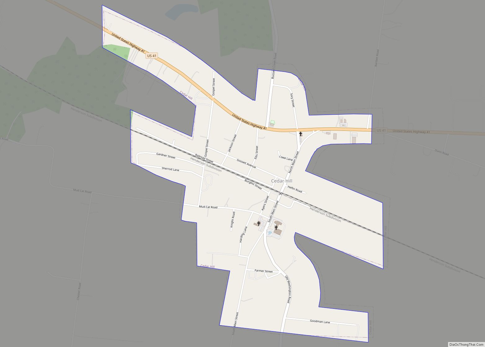
Cedar Hill is a city in Robertson County, Tennessee, United States. The population was 301 at the 2020 census.
| Name: | Cedar Hill city |
|---|---|
| LSAD Code: | 25 |
| LSAD Description: | city (suffix) |
| State: | Tennessee |
| County: | Robertson County |
| Elevation: | 679 ft (207 m) |
| Total Area: | 0.62 sq mi (1.61 km²) |
| Land Area: | 0.62 sq mi (1.61 km²) |
| Water Area: | 0.00 sq mi (0.00 km²) |
| Total Population: | 301 |
| Population Density: | 483.15/sq mi (186.50/km²) |
| ZIP code: | 37032 |
| Area code: | 615 |
| FIPS code: | 4711980 |
| GNISfeature ID: | 1305776 |
Online Interactive Map
Click on ![]() to view map in "full screen" mode.
to view map in "full screen" mode.
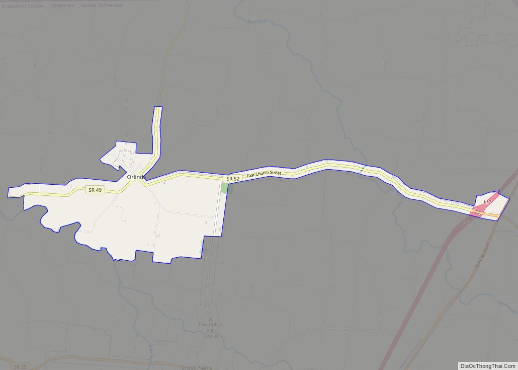
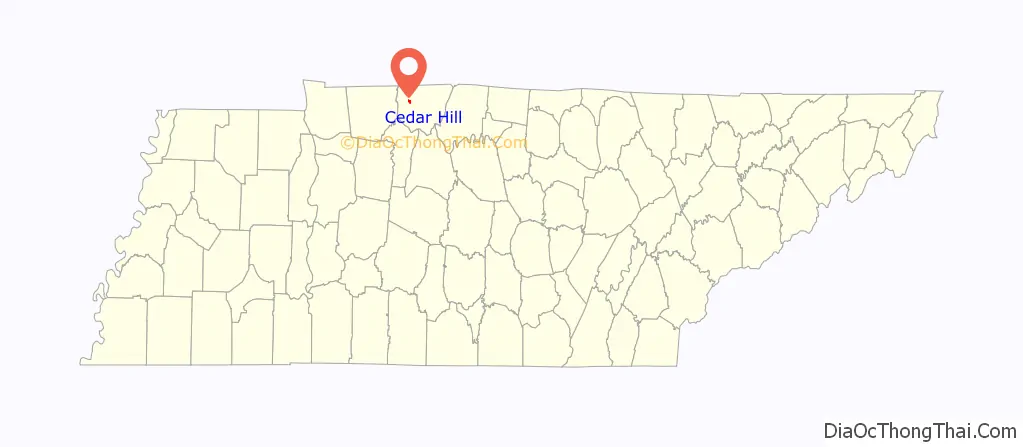
Cedar Hill location map. Where is Cedar Hill city?

History
Jo Byrns, who became Speaker of the House of Representatives, was born in Cedar Hill on July 28, 1869. The local elementary school and high school are named for him.
In the 1940s and 1950s Cedar Hill had a population of about 700, with around 10 stores. The economy was based on services to surrounding farmers; the main crop in the area was tobacco.
By the 1960s, crops were more diversified and more farmers had cars, enabling them to travel to the county seat of Springfield, about nine miles away. Also at about this time, the construction of the Interstate Highway System, namely Interstate 24 and Interstate 65, removed much of Cedar Hill’s through traffic. These factors led to a steady decline in population and development, but the area has begun to move forward in a positive direction through community building and revitalization efforts.
In 2006, Jo Byrns Elementary School opened in Cedar Hill, serving grade Pre-K to 5.
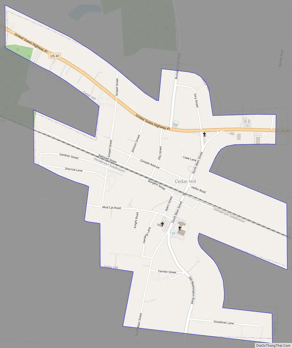
Cedar Hill Road Map
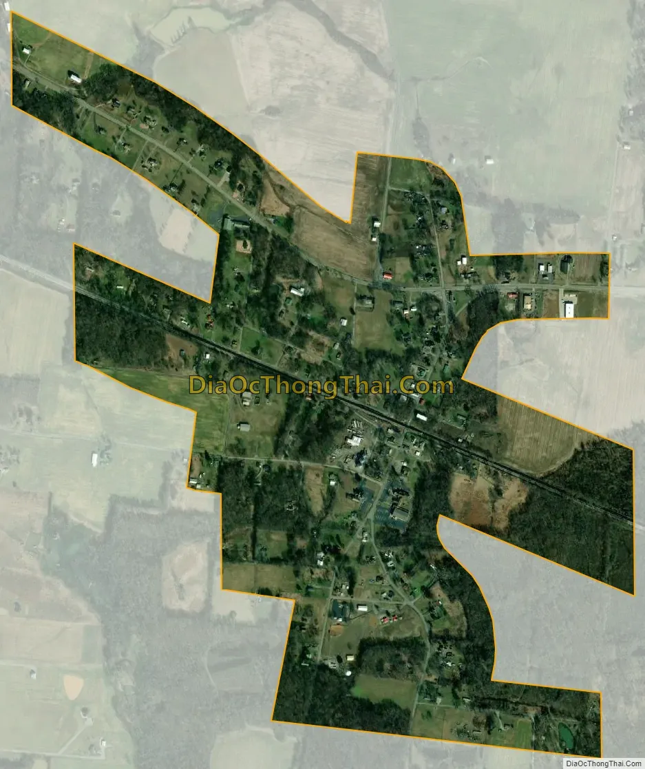
Cedar Hill city Satellite Map
Geography
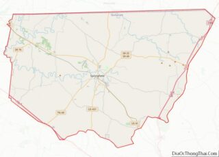
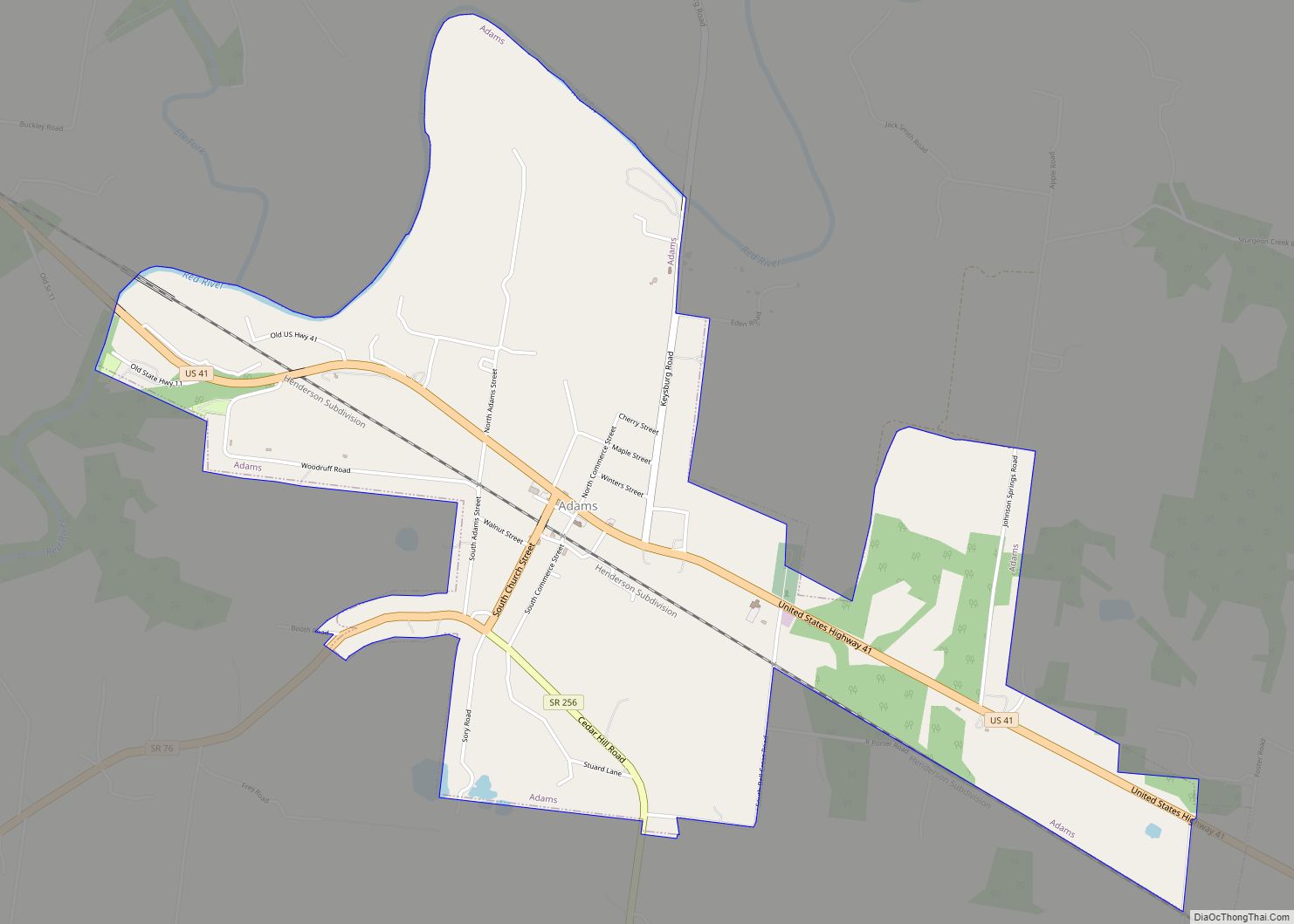
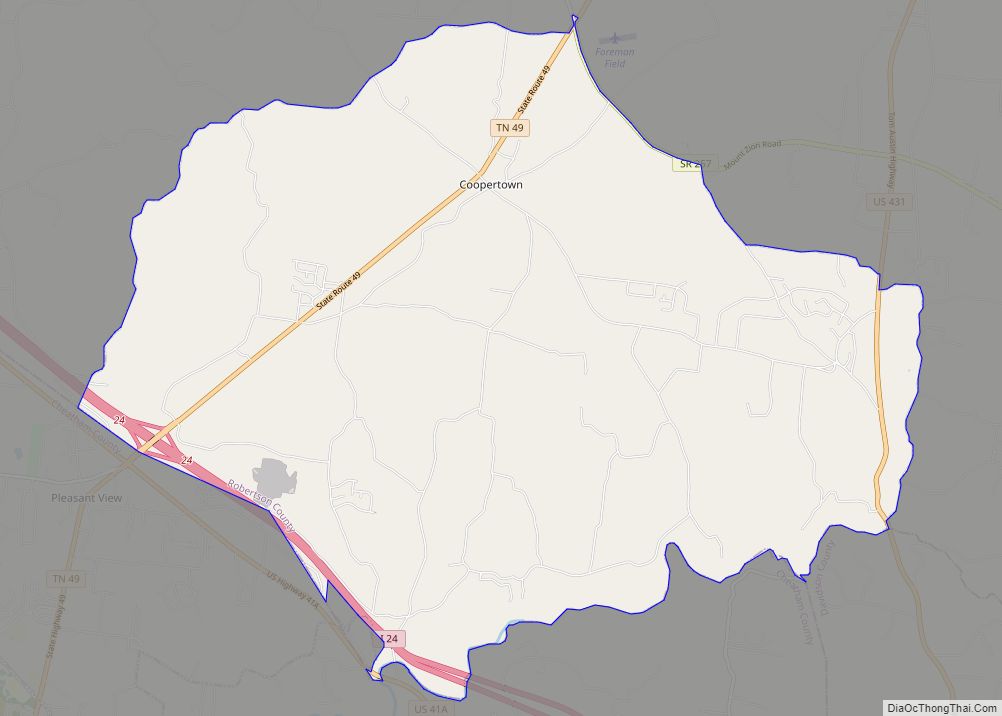
Cedar Hill is located along U.S. Route 41 in northwestern Robertson County. Springfield lies to the southeast, and Adams lies to the northwest.
The Tennessee Wildlife Resource Agency owns the Cedar Hill Swamp WMA site which features early- to late-successional hardwood forest dominated by pin oak and sweetgum that dominate the 200 acres found at Cedar Hill Swamp WMA. A few acres of overgrown fields are found near the entrance.
The only remaining swampland is on private property adjacent to the WMA on the opposite side of the CSX railroad tracks.
According to the United States Census Bureau, the city has a total area of 0.7 square miles (1.8 km), all land.
See also
Map of Tennessee State and its subdivision:- Anderson
- Bedford
- Benton
- Bledsoe
- Blount
- Bradley
- Campbell
- Cannon
- Carroll
- Carter
- Cheatham
- Chester
- Claiborne
- Clay
- Cocke
- Coffee
- Crockett
- Cumberland
- Davidson
- Decatur
- DeKalb
- Dickson
- Dyer
- Fayette
- Fentress
- Franklin
- Gibson
- Giles
- Grainger
- Greene
- Grundy
- Hamblen
- Hamilton
- Hancock
- Hardeman
- Hardin
- Hawkins
- Haywood
- Henderson
- Henry
- Hickman
- Houston
- Humphreys
- Jackson
- Jefferson
- Johnson
- Knox
- Lake
- Lauderdale
- Lawrence
- Lewis
- Lincoln
- Loudon
- Macon
- Madison
- Marion
- Marshall
- Maury
- McMinn
- McNairy
- Meigs
- Monroe
- Montgomery
- Moore
- Morgan
- Obion
- Overton
- Perry
- Pickett
- Polk
- Putnam
- Rhea
- Roane
- Robertson
- Rutherford
- Scott
- Sequatchie
- Sevier
- Shelby
- Smith
- Stewart
- Sullivan
- Sumner
- Tipton
- Trousdale
- Unicoi
- Union
- Van Buren
- Warren
- Washington
- Wayne
- Weakley
- White
- Williamson
- Wilson
- Alabama
- Alaska
- Arizona
- Arkansas
- California
- Colorado
- Connecticut
- Delaware
- District of Columbia
- Florida
- Georgia
- Hawaii
- Idaho
- Illinois
- Indiana
- Iowa
- Kansas
- Kentucky
- Louisiana
- Maine
- Maryland
- Massachusetts
- Michigan
- Minnesota
- Mississippi
- Missouri
- Montana
- Nebraska
- Nevada
- New Hampshire
- New Jersey
- New Mexico
- New York
- North Carolina
- North Dakota
- Ohio
- Oklahoma
- Oregon
- Pennsylvania
- Rhode Island
- South Carolina
- South Dakota
- Tennessee
- Texas
- Utah
- Vermont
- Virginia
- Washington
- West Virginia
- Wisconsin
- Wyoming