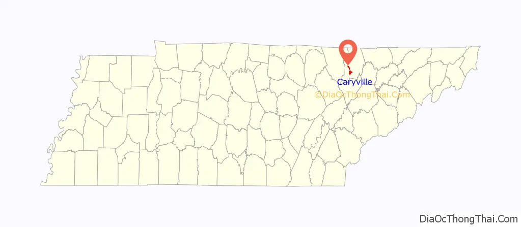
Caryville is a town in Campbell County, Tennessee, United States. The population was 2,297 at the 2010 census.
| Name: | Caryville town |
|---|---|
| LSAD Code: | 43 |
| LSAD Description: | town (suffix) |
| State: | Tennessee |
| County: | Campbell County |
| Elevation: | 1,093 ft (333 m) |
| Total Area: | 5.83 sq mi (15.10 km²) |
| Land Area: | 5.56 sq mi (14.39 km²) |
| Water Area: | 0.27 sq mi (0.71 km²) |
| Total Population: | 2,212 |
| Population Density: | 398.06/sq mi (153.70/km²) |
| ZIP code: | 37714 |
| Area code: | 423 |
| FIPS code: | 4711360 |
| GNISfeature ID: | 1279837 |
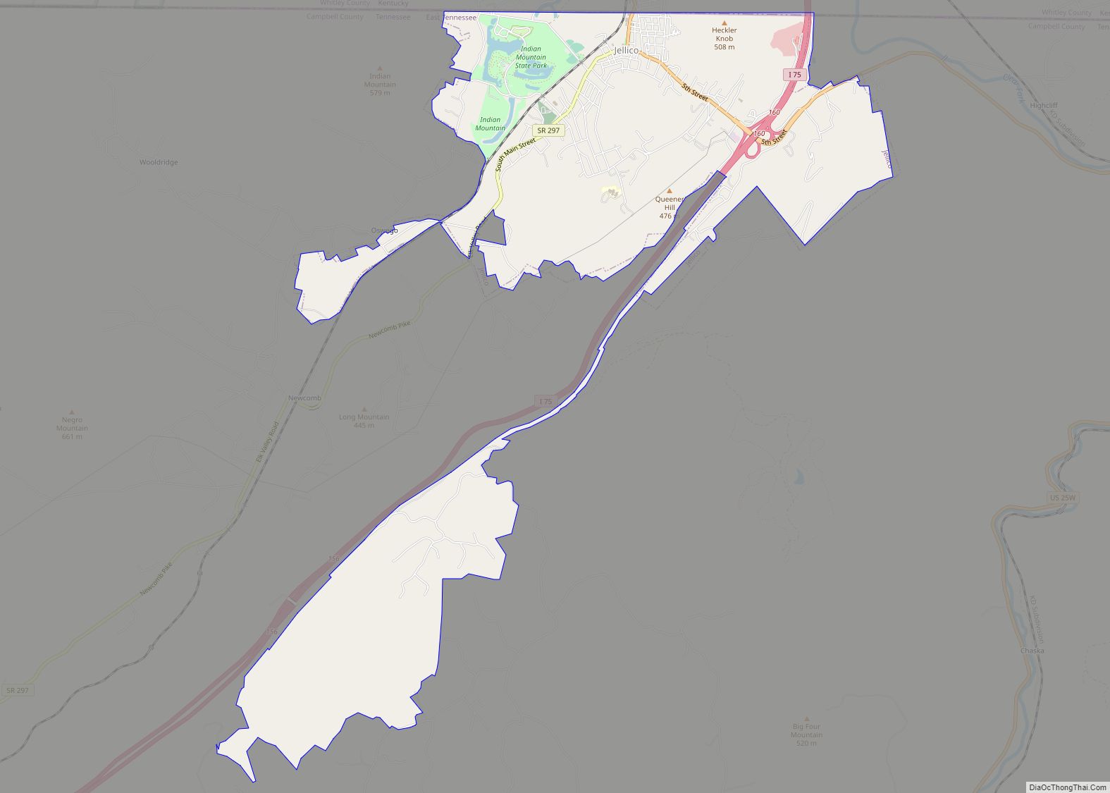
Online Interactive Map
Click on ![]() to view map in "full screen" mode.
to view map in "full screen" mode.
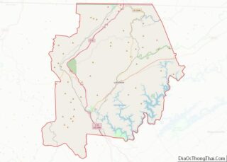
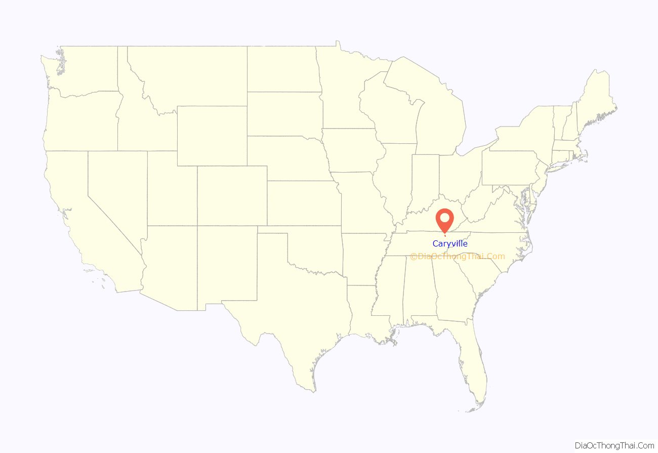
Caryville location map. Where is Caryville town?
History
Originally known as Wheeler’s Station, the town was renamed in honor of Judge William Carey, a prominent local landowner, in 1866.
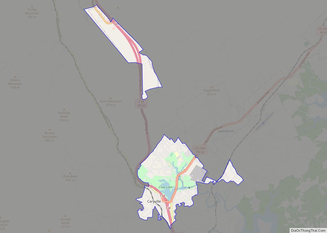
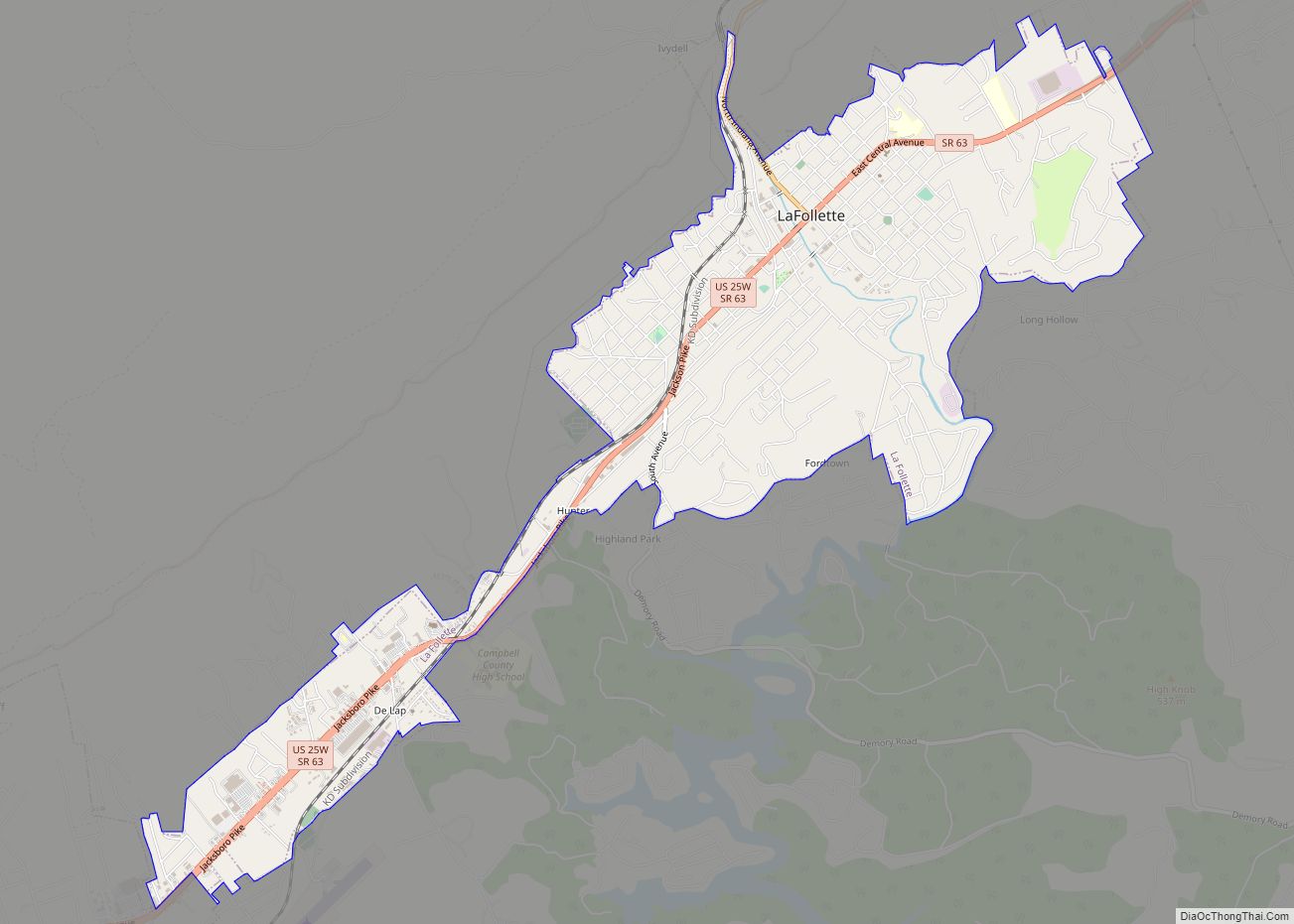
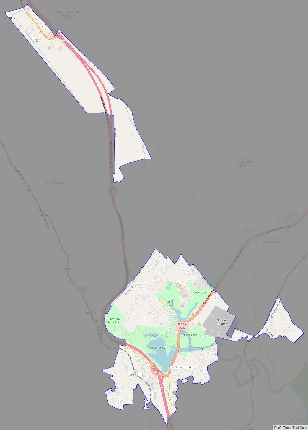
Caryville Road Map
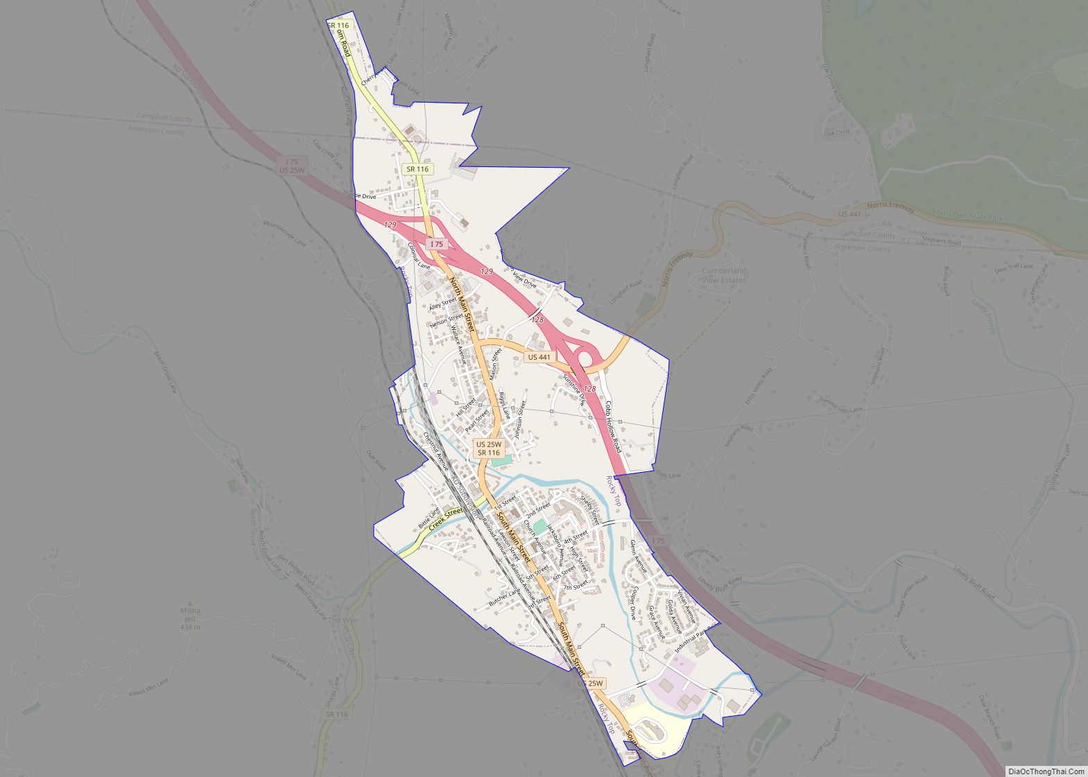
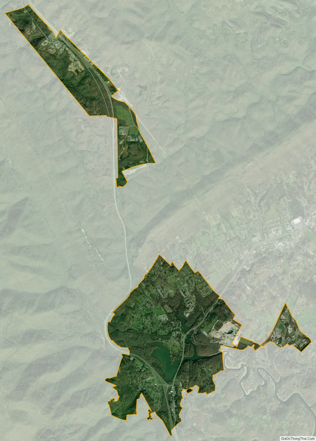
Caryville city Satellite Map
Geography
Caryville is situated in a valley between Cross Mountain to the west and a series of rugged hills to the east. Cove Lake State Park lies immediately north of the town, and includes an artificial lake created by the impoundment of Cove Creek by Caryville Dam. Two major federal highways, Interstate 75 and U.S. Route 25W, intersect in Caryville.
According to the United States Census Bureau, the town has a total area of 5.5 square miles (14 km), of which, 5.2 square miles (13 km) of it is land and 0.2 square miles (0.52 km) of it (4.58%) is water.
See also
Map of Tennessee State and its subdivision:- Anderson
- Bedford
- Benton
- Bledsoe
- Blount
- Bradley
- Campbell
- Cannon
- Carroll
- Carter
- Cheatham
- Chester
- Claiborne
- Clay
- Cocke
- Coffee
- Crockett
- Cumberland
- Davidson
- Decatur
- DeKalb
- Dickson
- Dyer
- Fayette
- Fentress
- Franklin
- Gibson
- Giles
- Grainger
- Greene
- Grundy
- Hamblen
- Hamilton
- Hancock
- Hardeman
- Hardin
- Hawkins
- Haywood
- Henderson
- Henry
- Hickman
- Houston
- Humphreys
- Jackson
- Jefferson
- Johnson
- Knox
- Lake
- Lauderdale
- Lawrence
- Lewis
- Lincoln
- Loudon
- Macon
- Madison
- Marion
- Marshall
- Maury
- McMinn
- McNairy
- Meigs
- Monroe
- Montgomery
- Moore
- Morgan
- Obion
- Overton
- Perry
- Pickett
- Polk
- Putnam
- Rhea
- Roane
- Robertson
- Rutherford
- Scott
- Sequatchie
- Sevier
- Shelby
- Smith
- Stewart
- Sullivan
- Sumner
- Tipton
- Trousdale
- Unicoi
- Union
- Van Buren
- Warren
- Washington
- Wayne
- Weakley
- White
- Williamson
- Wilson
- Alabama
- Alaska
- Arizona
- Arkansas
- California
- Colorado
- Connecticut
- Delaware
- District of Columbia
- Florida
- Georgia
- Hawaii
- Idaho
- Illinois
- Indiana
- Iowa
- Kansas
- Kentucky
- Louisiana
- Maine
- Maryland
- Massachusetts
- Michigan
- Minnesota
- Mississippi
- Missouri
- Montana
- Nebraska
- Nevada
- New Hampshire
- New Jersey
- New Mexico
- New York
- North Carolina
- North Dakota
- Ohio
- Oklahoma
- Oregon
- Pennsylvania
- Rhode Island
- South Carolina
- South Dakota
- Tennessee
- Texas
- Utah
- Vermont
- Virginia
- Washington
- West Virginia
- Wisconsin
- Wyoming