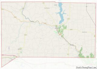
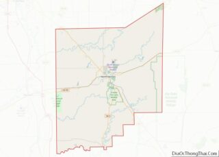
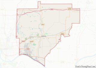
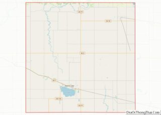
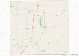
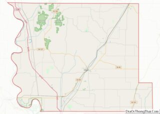
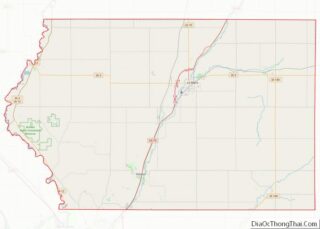
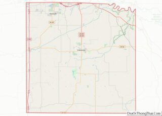
Map of Hamilton County, Indiana
Hamilton County is a county in the U.S. state of Indiana. The 2020 United States Census recorded a population of 347,467. The county seat is Noblesville. Hamilton County is part of the Indianapolis-Carmel–Anderson, IN Metropolitan Statistical Area. Since the beginning of the 21st century, Hamilton County has been the second most populous county in Central ... Read more
Map of Hamilton County, Indiana
Map of Lake County, Indiana
Lake County is a county located in the U.S. state of Indiana. In 2020, its population was 498,700, making it Indiana’s second-most populous county. The county seat is Crown Point. The county is part of Northwest Indiana and the Chicago metropolitan area, and contains a mix of urban, suburban and rural areas. It is bordered ... Read more
Map of Lake County, Indiana
Map of Owen County, Indiana
Owen County is a county in the U.S. state of Indiana. In 1920 the United States Census Bureau calculated the mean center of U.S. population to fall within this county. As of the 2010 United States Census, it had a population of 21,575. Its county seat is Spencer. Owen County is part of the Bloomington, ... Read more
Map of Owen County, Indiana
Map of Steuben County, Indiana
Steuben County is a county in the northeast corner of the U.S. state of Indiana. As of the 2010 United States Census the county population was 34,185. The county seat (and only incorporated city) is Angola. Steuben County comprises the Angola, IN Micropolitan Statistical Area. Steuben County overview: Name: Steuben County FIPS code: 18-151 State: ... Read more
Map of Steuben County, Indiana
Map of Whitley County, Indiana
Whitley County is a rural county in the U.S. state of Indiana. As of the 2020 United States census, the population was 34,191. Whitley County is the 49th largest county in Indiana. The county seat (and only incorporated city) is Columbia City. The county has the highest county number (92) on Indiana license plates, as ... Read more
Map of Whitley County, Indiana
Map of Cedar County, Iowa
Cedar County is a county located in the U.S. state of Iowa. As of the 2020 census, the population was 18,505. Its county seat is Tipton. The county is named for the Cedar River, which runs through the county. Cedar County is located between the Cedar Rapids, Quad Cities and Iowa City metropolitan areas, areas ... Read more
Map of Cedar County, Iowa
Map of Emmet County, Iowa
Emmet County is a county located in the U.S. state of Iowa. As of the 2020 census, the population was 9,388. The county seat is Estherville. Emmet County overview: Name: Emmet County FIPS code: 19-063 State: Iowa Founded: 1851 Named for: Robert Emmet Seat: Estherville Largest city: Estherville Total Area: 408 sq mi (1,060 km²) Land Area: 401.4 sq mi ... Read more
Map of Emmet County, Iowa
Map of Iowa County, Iowa
Iowa County is a county located in the U.S. state of Iowa. As of the 2020 census, the population was 16,662. The county seat is Marengo. Iowa County is one of seven counties in the United States to share the same name as the state they are located in. The other six counties are Arkansas ... Read more
Map of Iowa County, Iowa
Map of Marshall County, Iowa
Marshall County is a county located in the U.S. state of Iowa. As of the 2020 census, the population was 40,105. The county seat is Marshalltown. The county was formed on January 13, 1846, and named after John Marshall, Chief Justice of the United States Supreme Court. Marshall County comprises the Marshalltown, IA Micropolitan Statistical ... Read more
Map of Marshall County, Iowa
Map of Ringgold County, Iowa
Ringgold County is a county located in the U.S. state of Iowa. As of the 2020 census, the population was 4,663, making it the Iowa county with the second-smallest population. The county seat is Mount Ayr. The county is named after Maj. Samuel Ringgold, a hero of the Battle of Palo Alto fought in May ... Read more
Map of Ringgold County, Iowa
Map of Winneshiek County, Iowa
Winneshiek County is a county located in the U.S. state of Iowa. As of the 2020 census, the population was 20,070. The county seat is Decorah. Winneshiek County overview: Name: Winneshiek County FIPS code: 19-191 State: Iowa Founded: 1847 Named for: Chief Winneshiek Seat: Decorah Largest city: Decorah Total Area: 690 sq mi (1,800 km²) Land Area: 690 sq mi ... Read more
Map of Winneshiek County, Iowa
Map of Clark County, Kansas
Clark County (county code CA) is a county located in the U.S. state of Kansas. As of the 2020 census, the county population was 1,991. Its county seat and most populous city is Ashland. Clark County overview: Name: Clark County FIPS code: 20-025 State: Kansas Founded: February 26, 1867 Named for: Charles F. Clarke Seat: ... Read more
Map of Clark County, Kansas